
Hausdalen to Espeland via Søre Gullfjelltoppen (19.07.2017)

Written by hbar (Harald Barsnes)

| Start point | Hausdalen snuplass (93m) |
|---|---|
| Endpoint | Espelandshallen (75m) |
| Characteristic | Hillwalk |
| Duration | 5h 52min |
| Distance | 19.3km |
| Vertical meters | 1,106m |
| GPS |
|
| Ascents | Gullfjellet (914m) | 19.07.2017 |
|---|---|---|
| Søre Gullfjelltoppen (962m) | 19.07.2017 | |
| Sydpolen (952m) | 19.07.2017 | |
| Visits of other PBEs | Espeland fangeleir (130m) | 19.07.2017 |
| Hausdalen parkering (94m) | 19.07.2017 | |
| Osavatnet p-plass (kr) (310m) | 19.07.2017 | |
| Redningshytten, Gullfjellet (600m) | 19.07.2017 |
Hausdalen to Espeland via Søre Gullfjelltoppen
Locating the trailhead
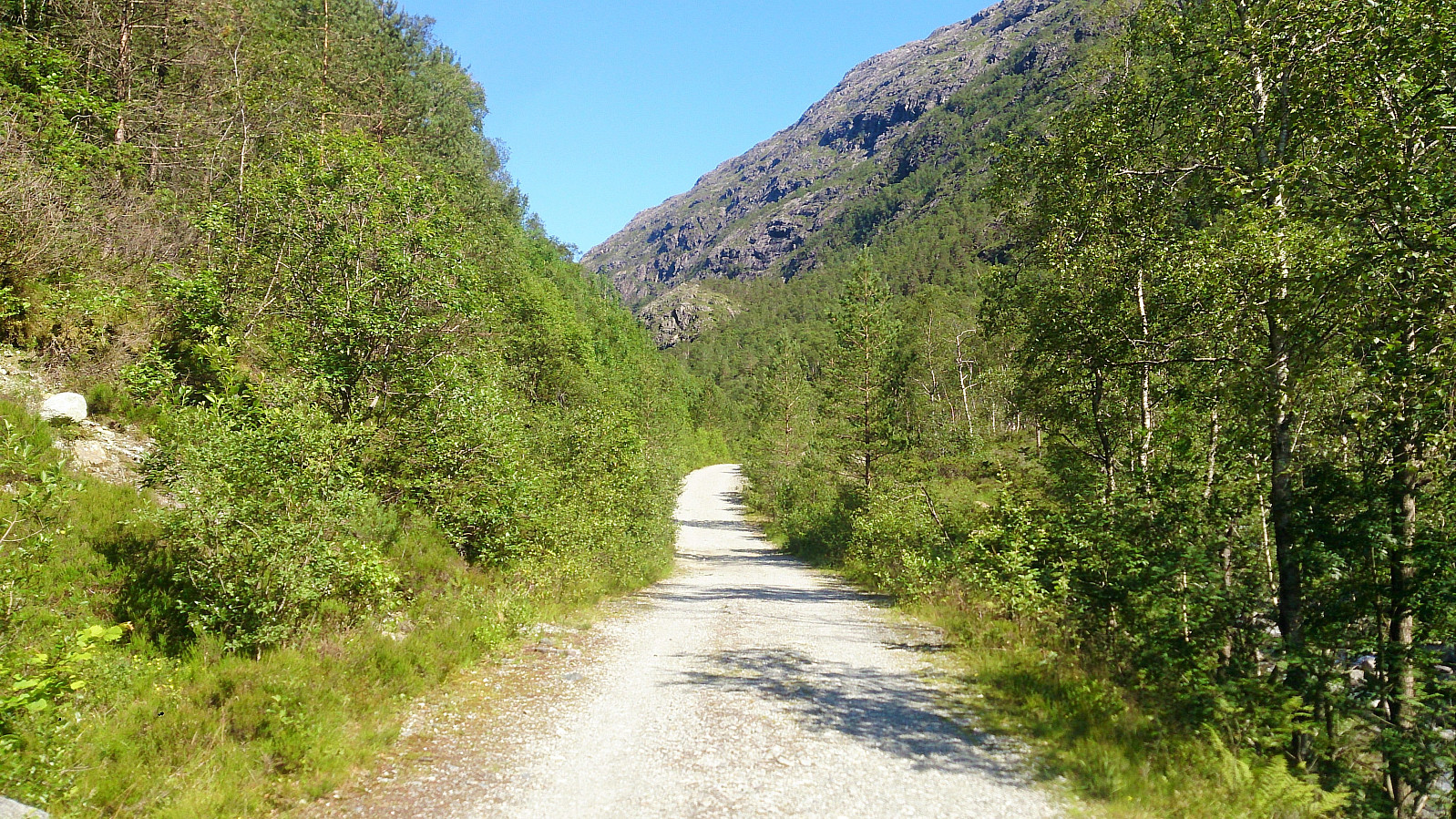
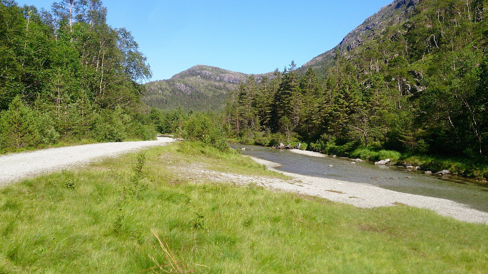
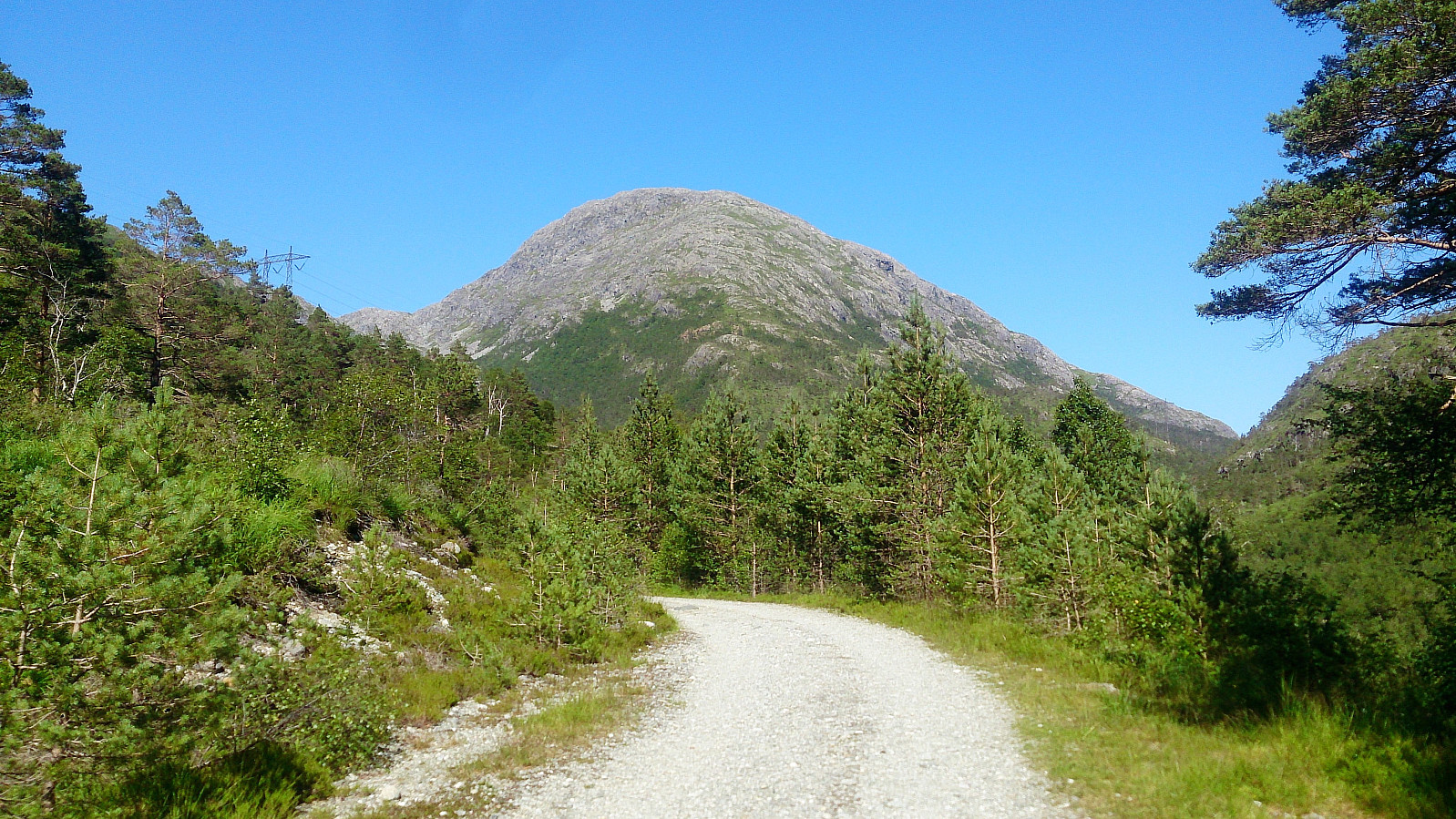
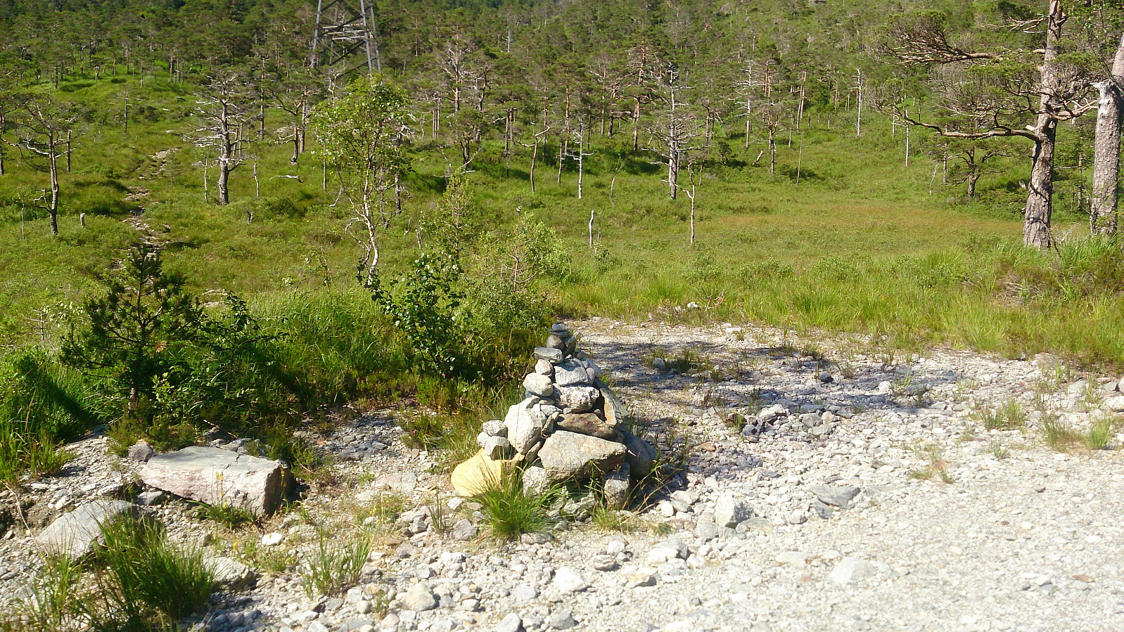
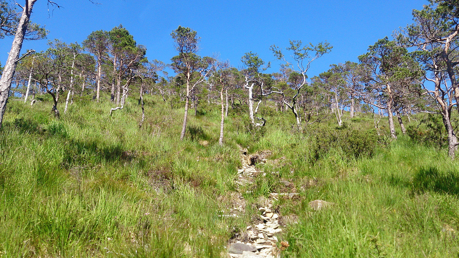
Started by taking the bus to "Hausdalen snuplass" and continuing up the very nice gravel road through Brekkedalen, where I located a small cairn indicating the start of the unmarked trail towards Sydpolen and Søre Gullfjelltoppen.
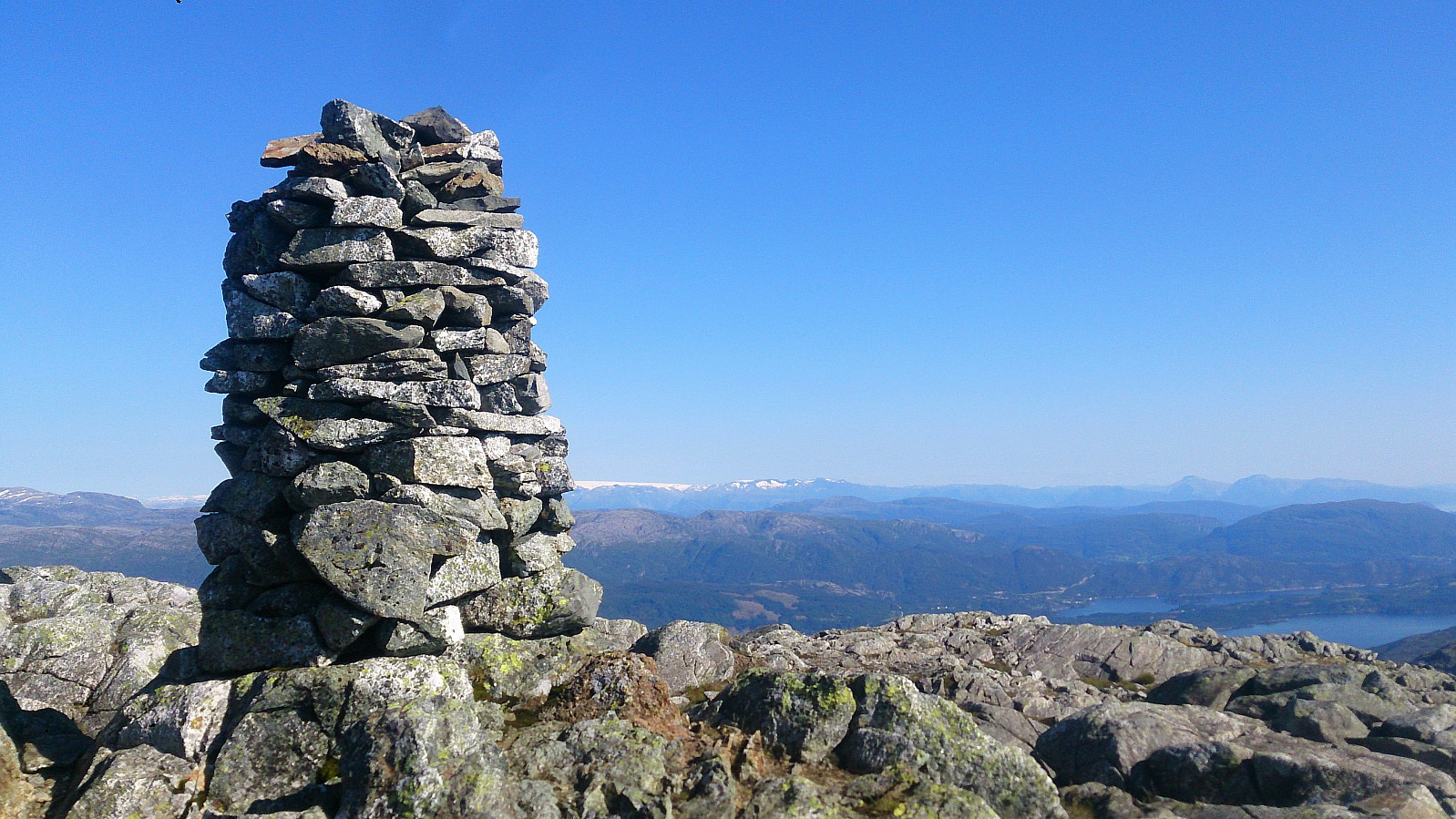
Sydpolen - 730 meter continuous ascent!
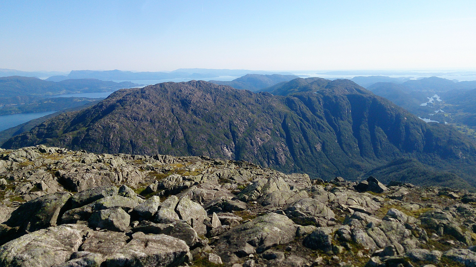
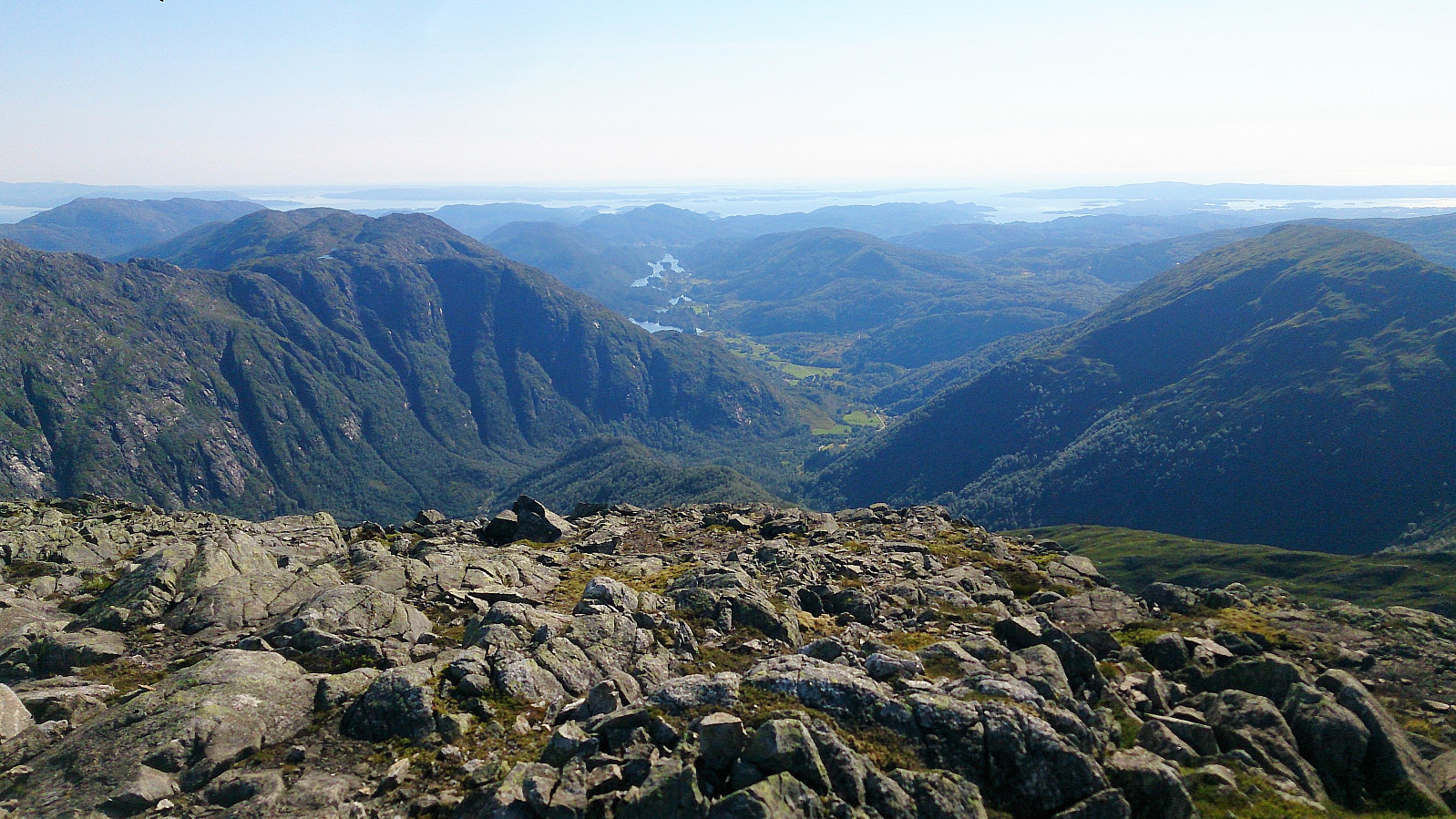
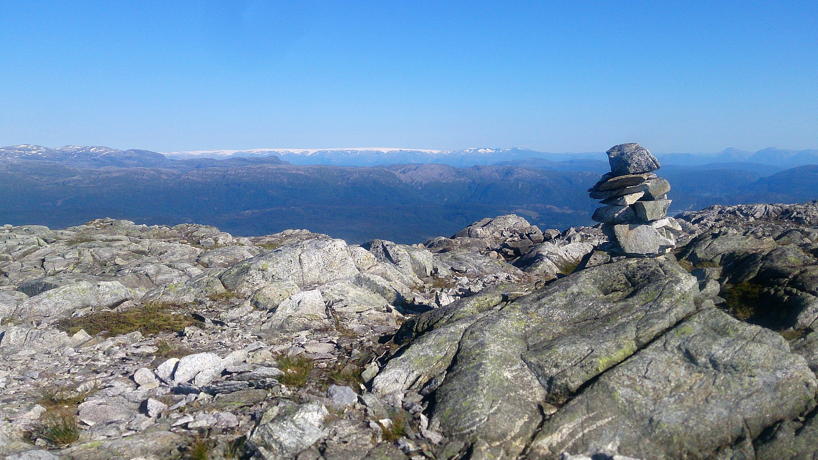
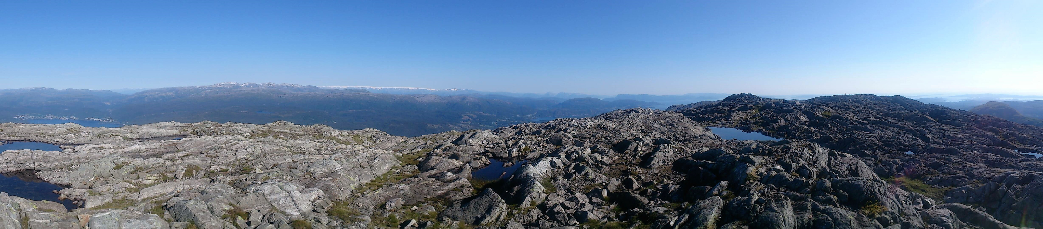
The trail was easy to follow as it winded its way up between the pine trees. It quickly turned quite steep though, and when the trail left the trees behind, the trail could get a bit weak at times, but it was relatively easy to relocate when lost. Note that the height difference from the trailhead to the cairn at the top, known as Sydpolen, is around 730 meters, with limited rest along the way with regards to the terrain. Sydpolen provided spectacular views in all direction. Definitely worth the long climb! Especially nice views towards Sveningen and Hausdalshorga.
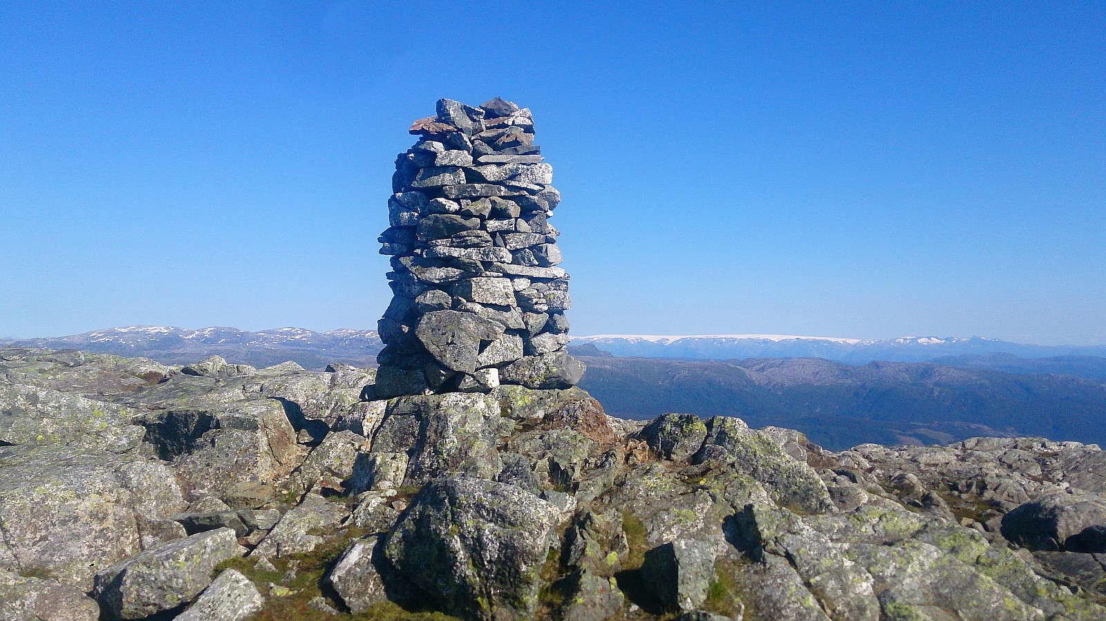
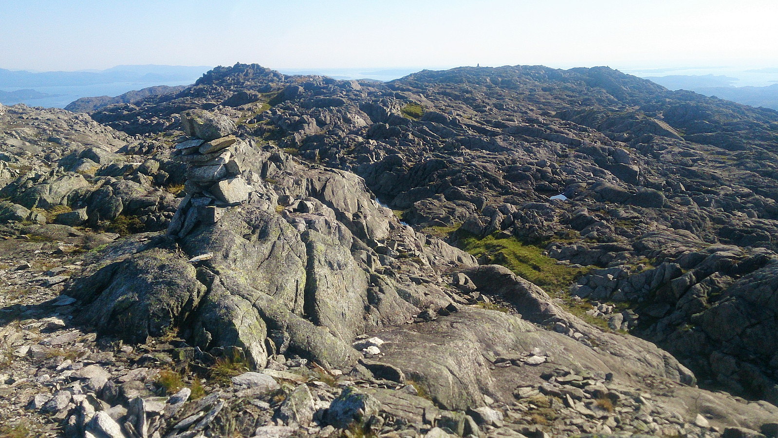
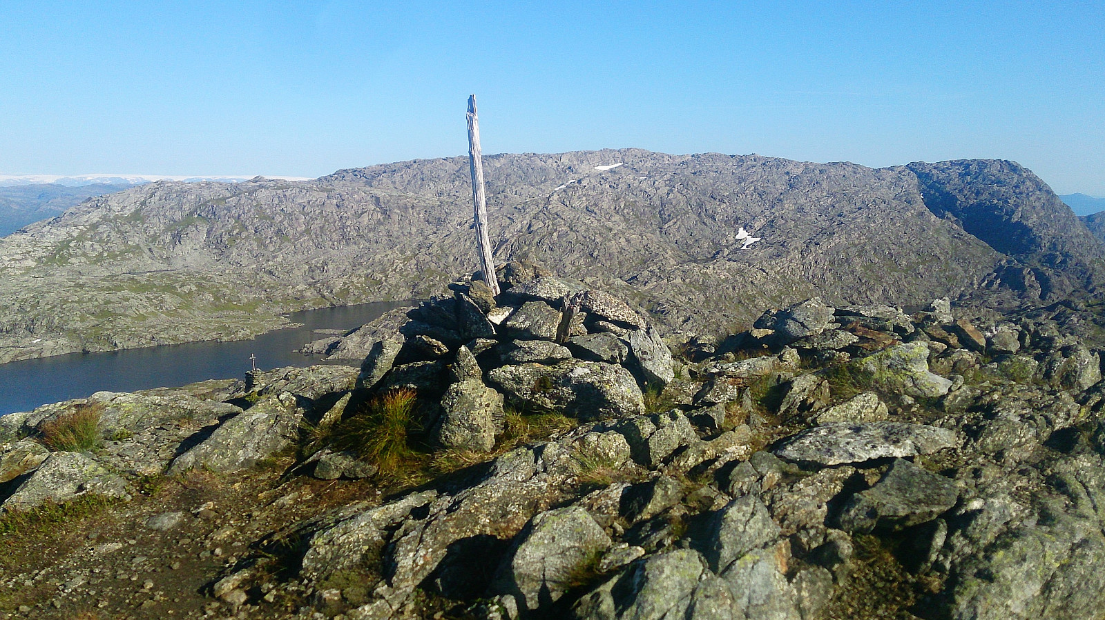
Søre Gullfjelltoppen
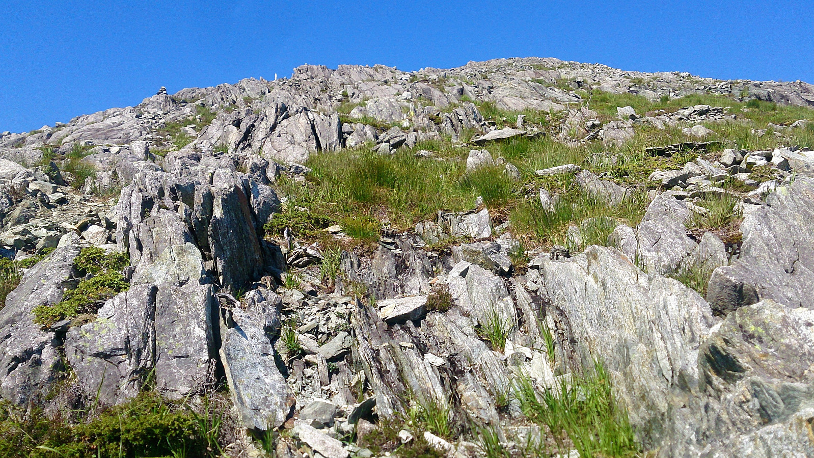
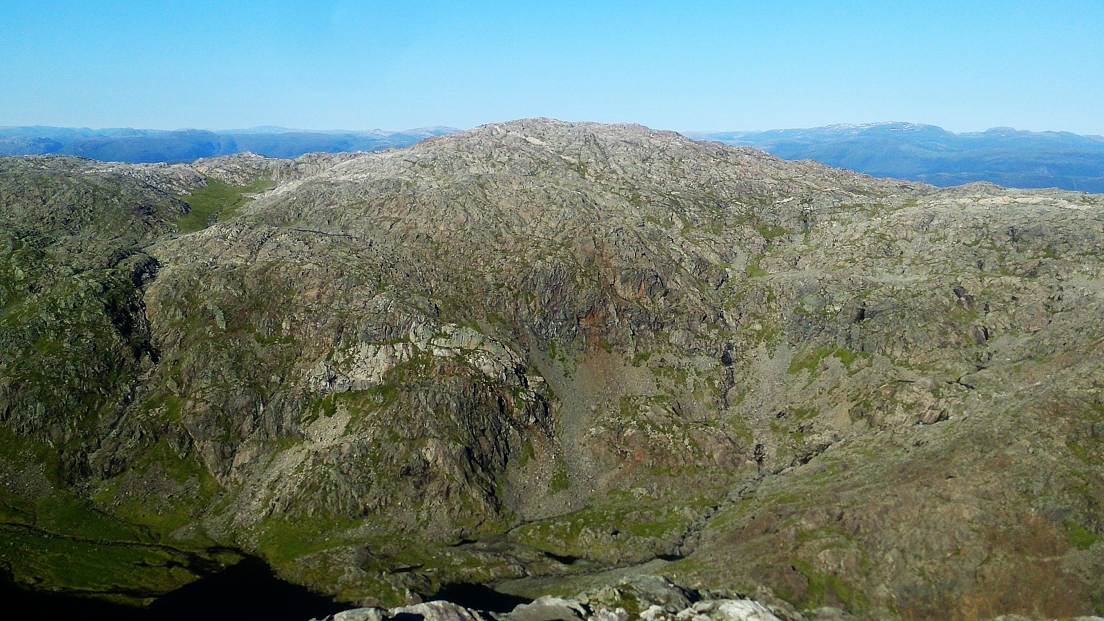
From Sydpolen I continued north towards Søre Gullfjelltoppen. Did not really find any trails, but given that I could see my goal all along, it was straightforward to find the way. Very nice views from Søre Gullfjelltoppen as well, though not as spectacular as at Sydpolen.
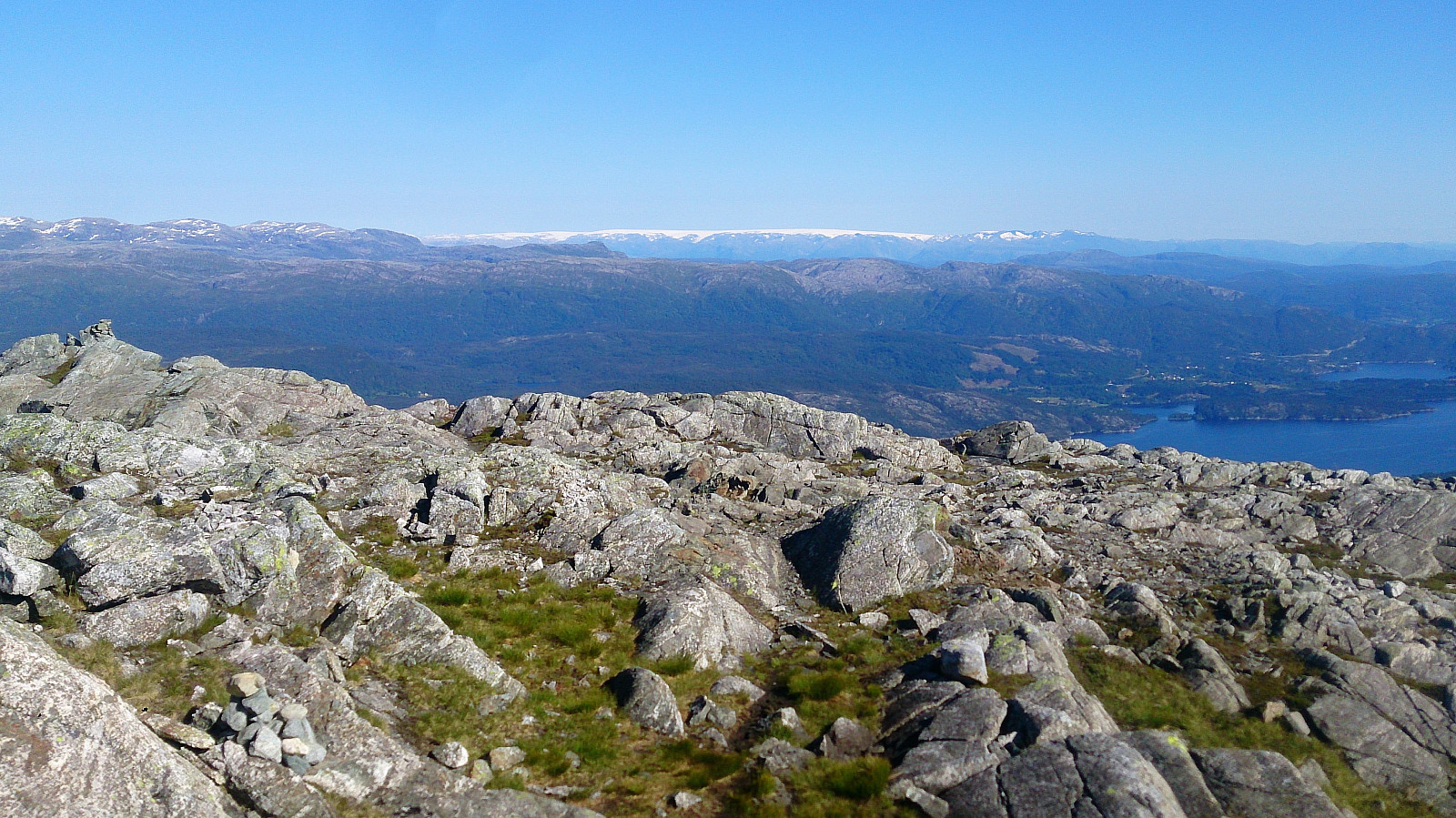
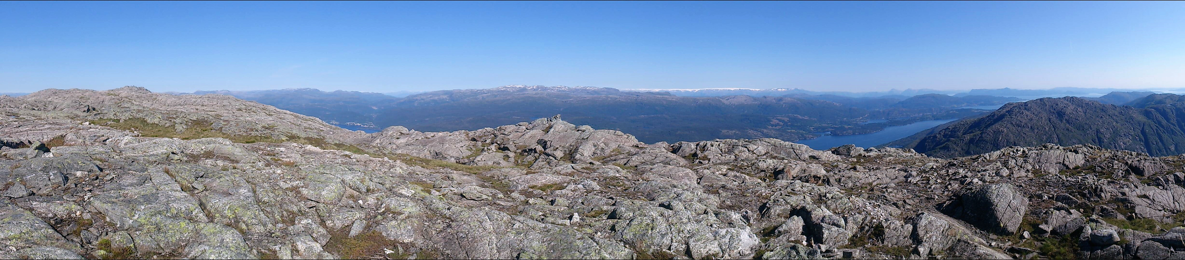
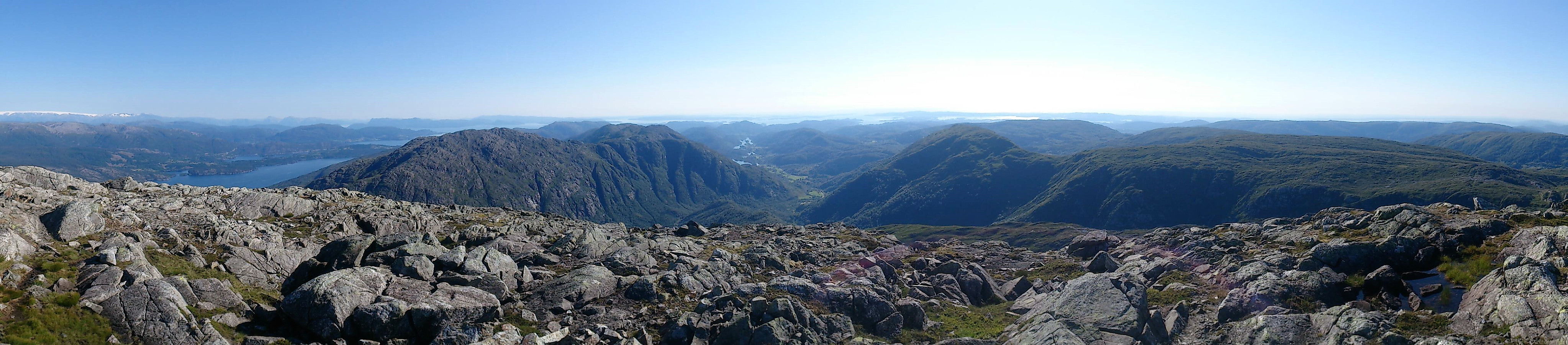
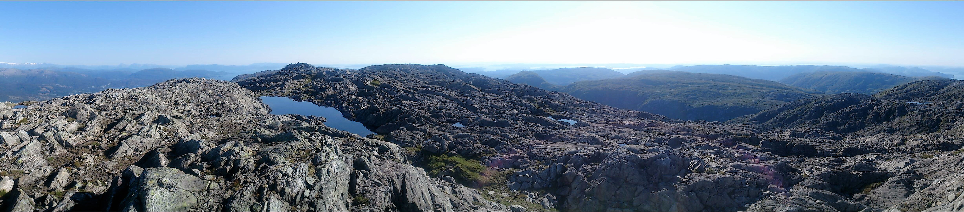
Gullfjellet, Osavatnet and Espeland
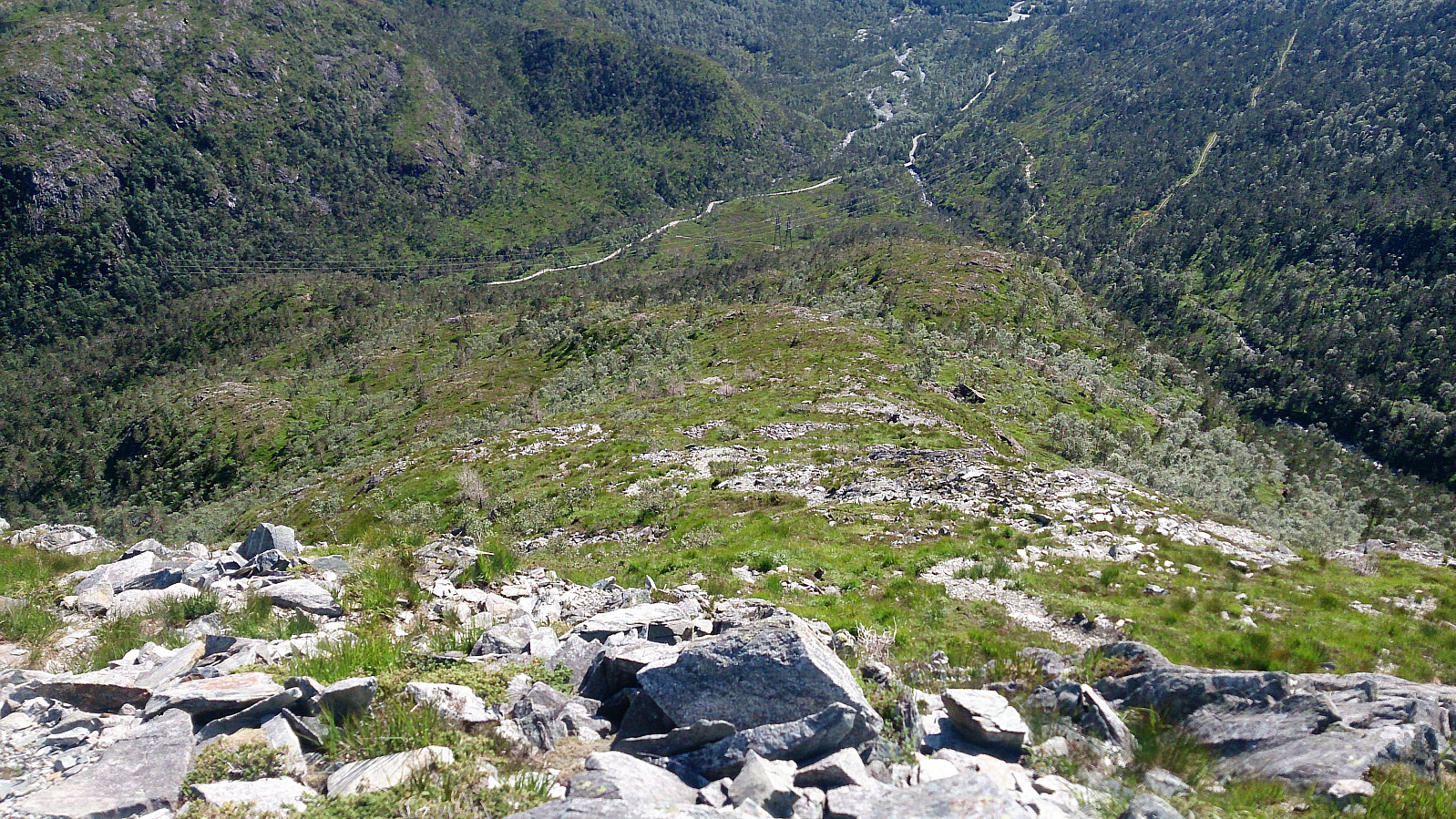
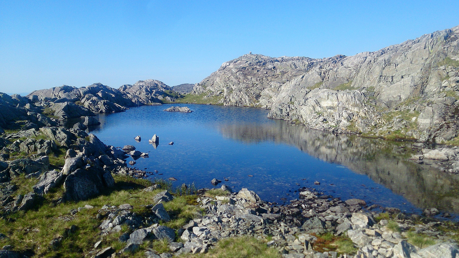
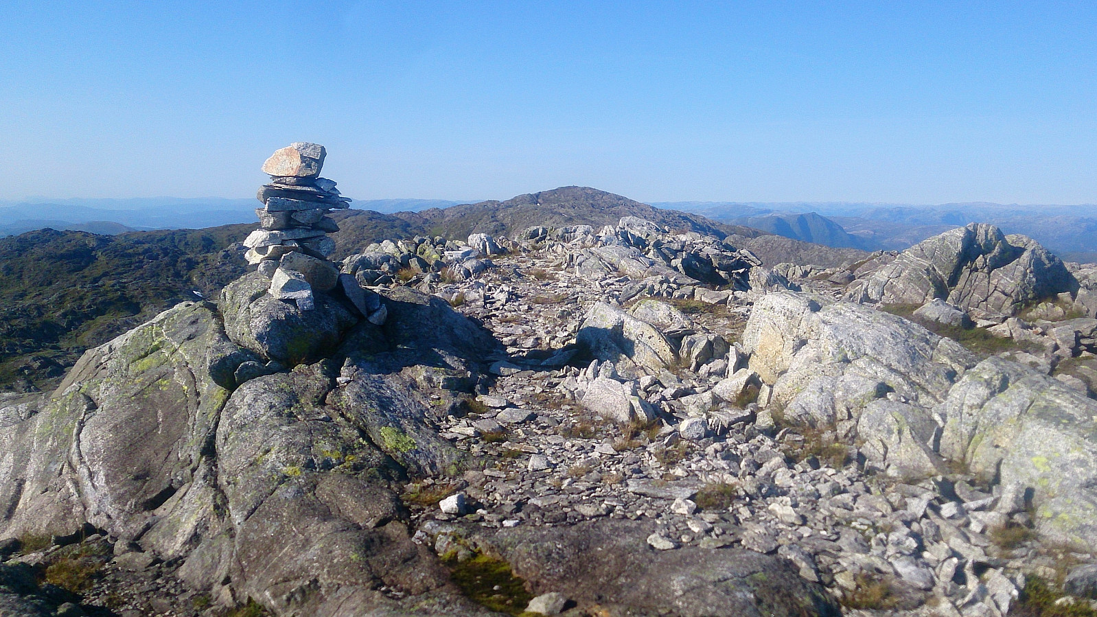
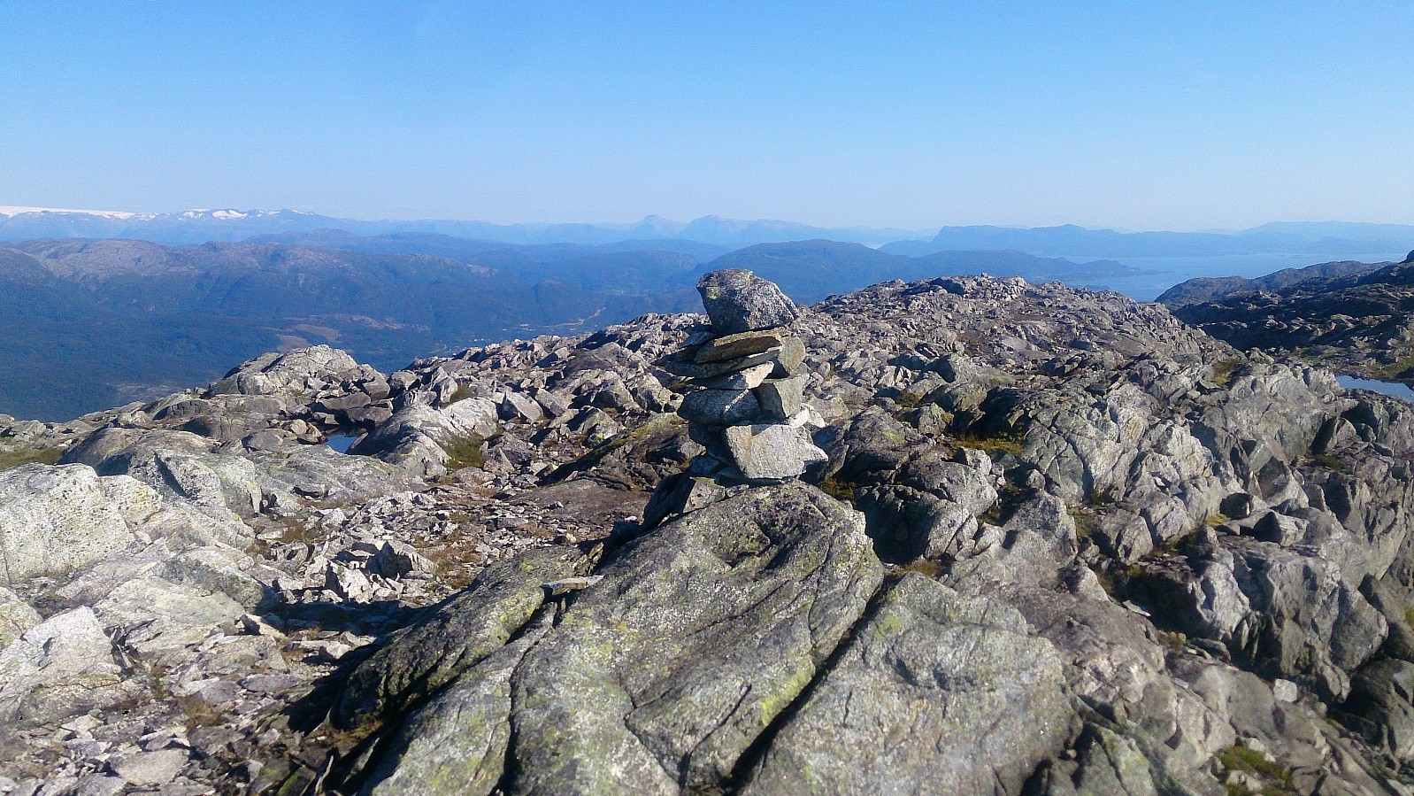
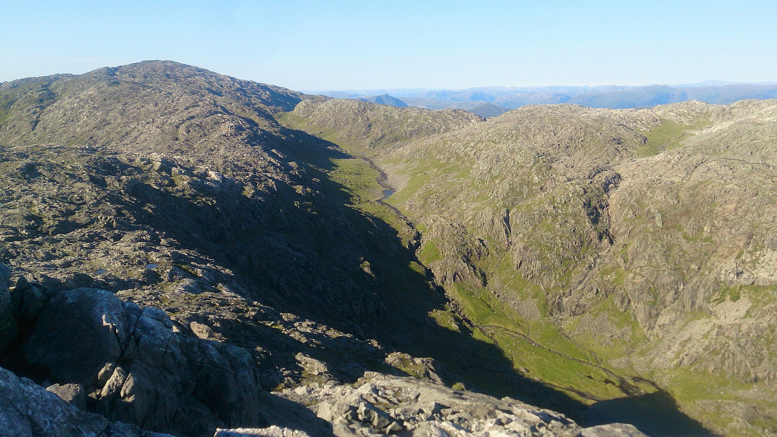
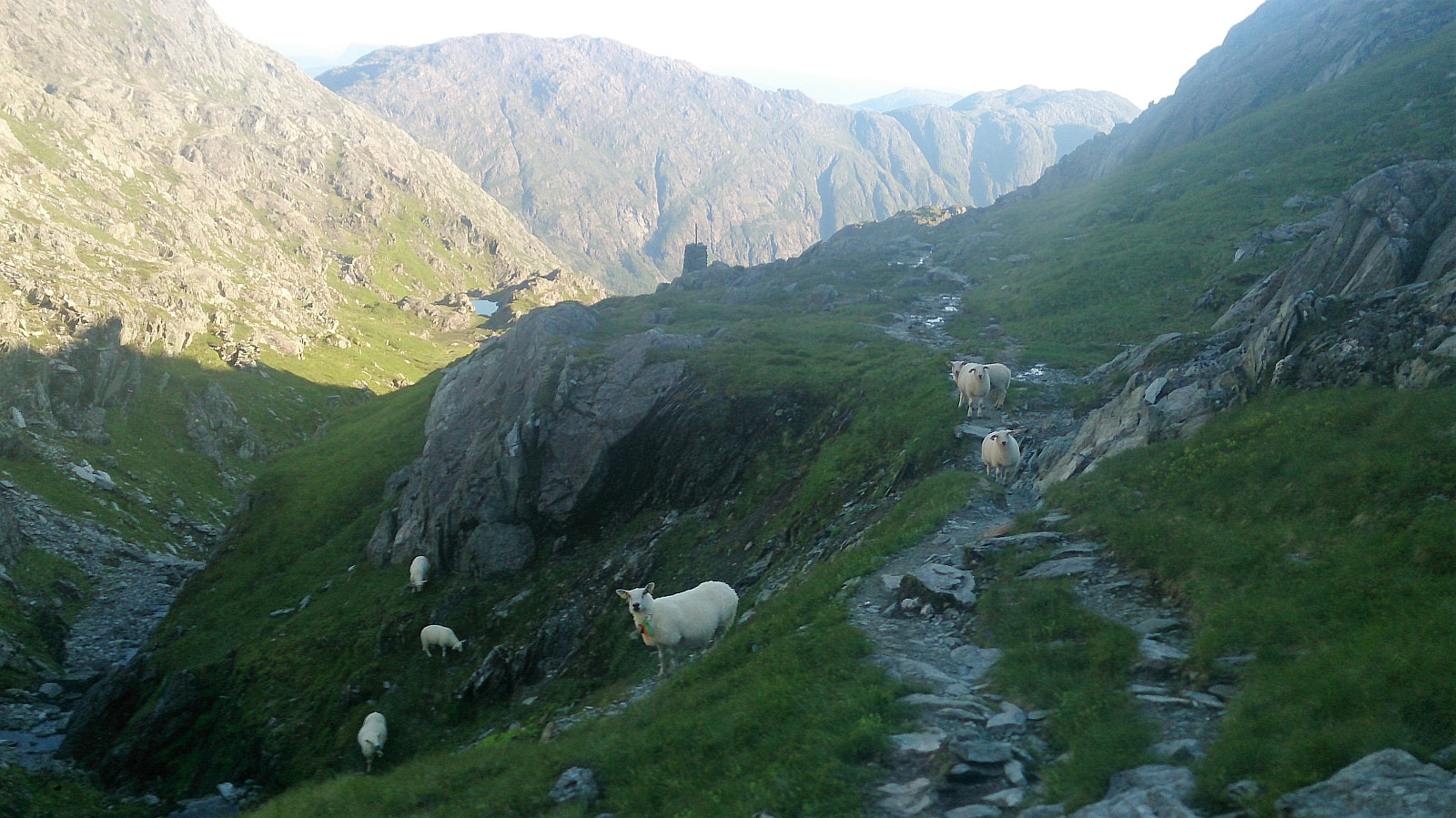
My plan was now to connect with the standard trail down from Gullfjelltoppen. I therefore continued north from Søre Gullfjelltoppen. Did not find any trails here either, perhaps due to the terrain mainly consisting of rocks (similar to from Sydpolen to Søre Gullfjelltoppen). Fairly easy to find a good route if sticking to the ridge though, but this would most likely be a lot more difficult in worse weather. When walking along the ridge I also got a very nice view towards Kofta and the top of Purkedalsgjelet.
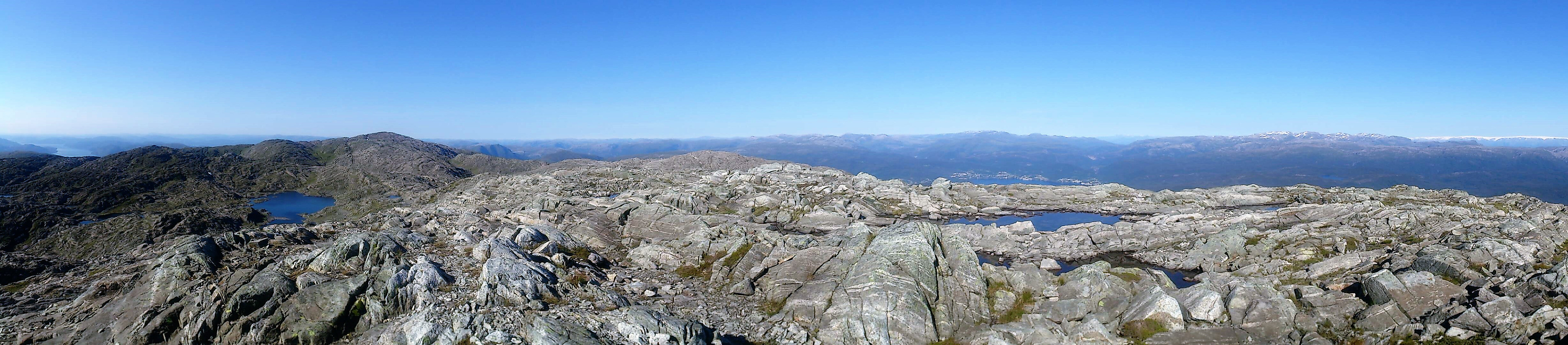
After connecting with the main trail, I followed it all the way down to Osavatnet, passing Redningshytten on the way, with only a minor detour to the summit named Gullfjellet. From the parking lot at Osavatnet I continued west-southwest along the road, with a shortcut through Moldamyrane, down to Espelandshallen for the bus back to the city center.
Conclusion
In summary, an excellent hike that can be very highly recommended! However, due to the steep ascent and the partially weak trails, it should generally only be attempted in good weather.


| Start date | 19.07.2017 15:13 (UTC+01:00 DST) |
| End date | 19.07.2017 21:05 (UTC+01:00 DST) |
| Total Time | 5h 52min |
| Moving Time | 4h 57min |
| Stopped Time | 0h 54min |
| Overall Average | 3.3km/h |
| Moving Average | 3.9km/h |
| Distance | 19.3km |
| Vertical meters | 1,105m |


User comments