
Hjartåsfjellet (the extended version...) (15.07.2017)

Written by hbar (Harald Barsnes)

| Start point | Hjertås (30m) |
|---|---|
| Endpoint | Flatøy (14m) |
| Characteristic | Hillwalk |
| Duration | 3h 42min |
| Distance | 15.8km |
| Vertical meters | 635m |
| GPS |
|
| Ascents | Hjartåsfjellet (174m) | 15.07.2017 |
|---|---|---|
| Ramusfjellet (167m) | 15.07.2017 |
Hjartåsfjellet (the extended version...)
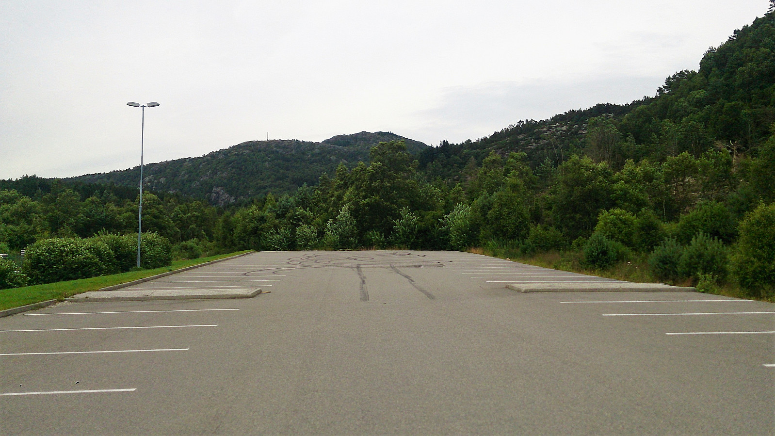
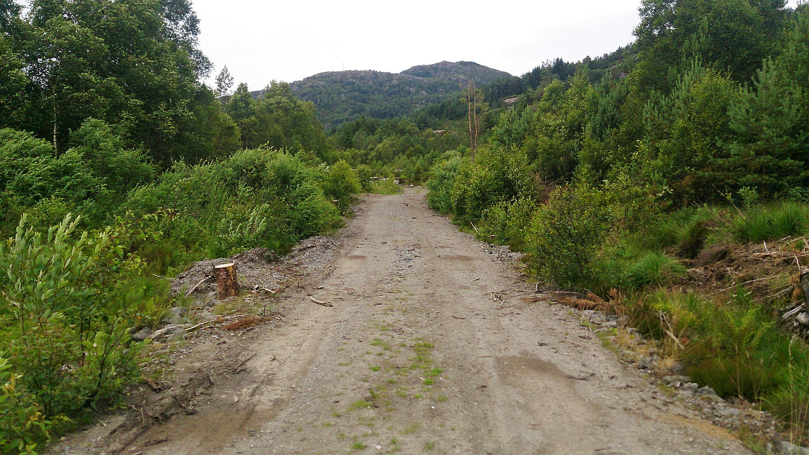
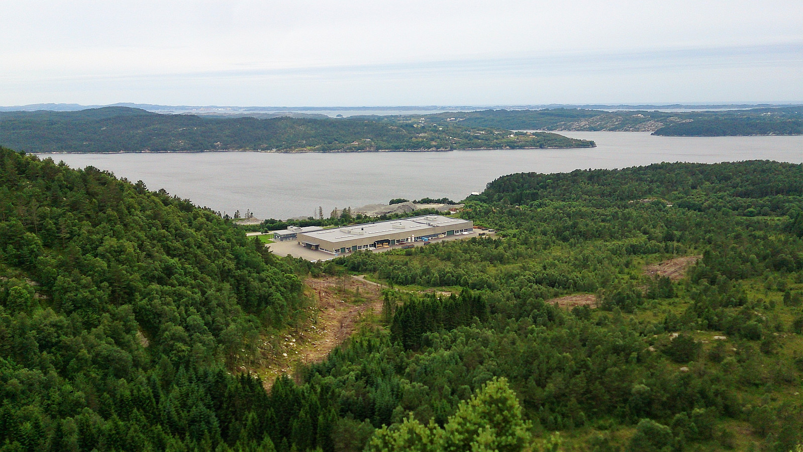

The trail head
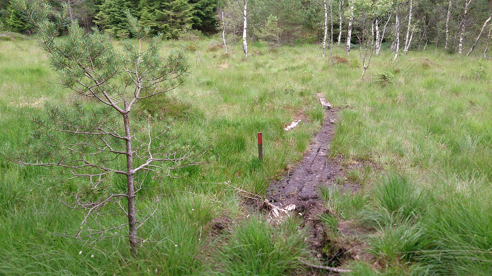
Started by taking the bus to Hjartås (bus stop "Frank Mohn Hjertås") and walking up to the car park on the east side of the factory building. The trail started at the northern end of the parking lot, with the first part being a gravel road. When the gravel road ended I located the start of the trail without much difficulty. The trail did include some wet areas, but various strategically placed wooden objects made sure that one could easily make progress without getting wet.
Ramusfjellet
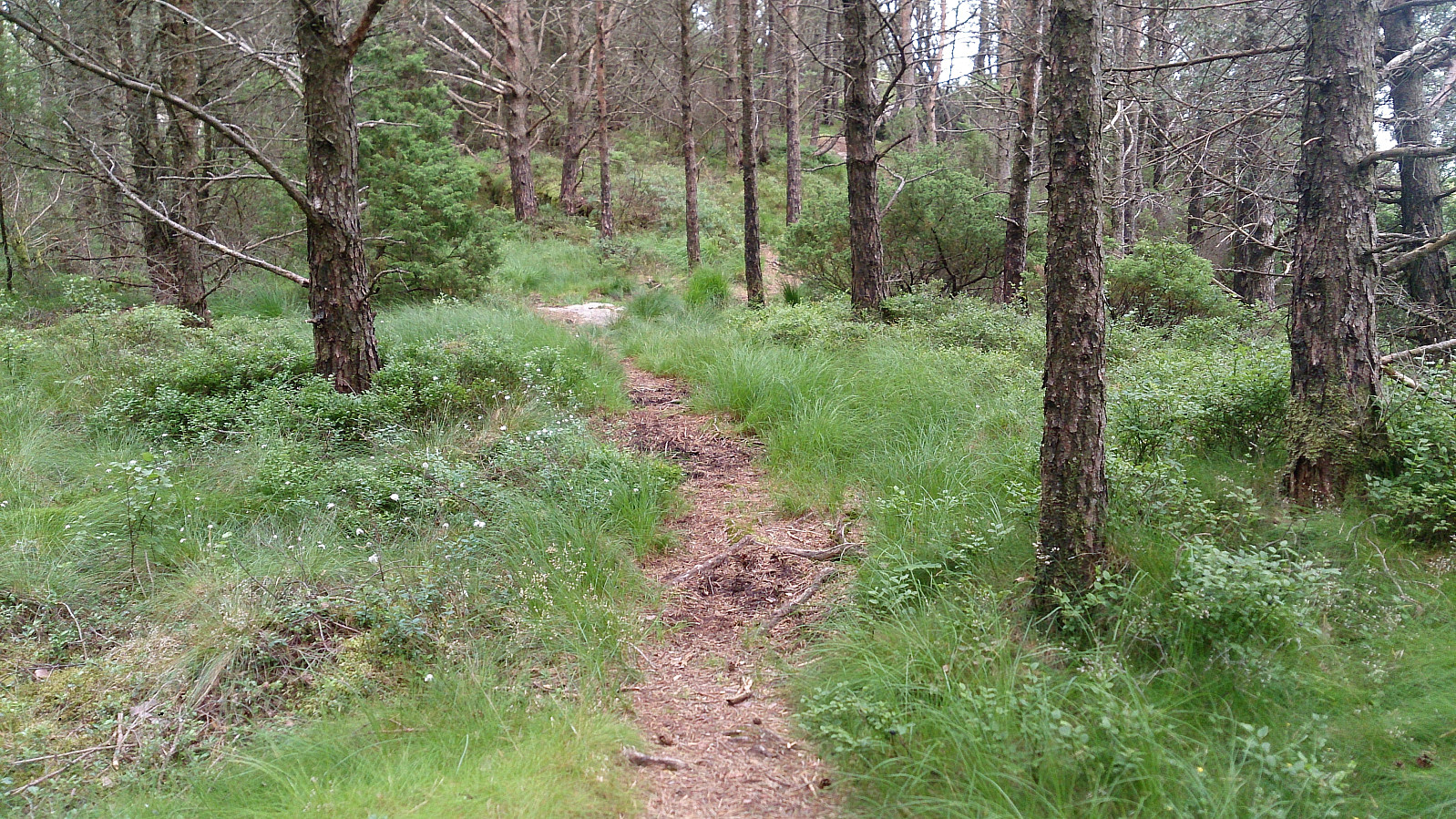
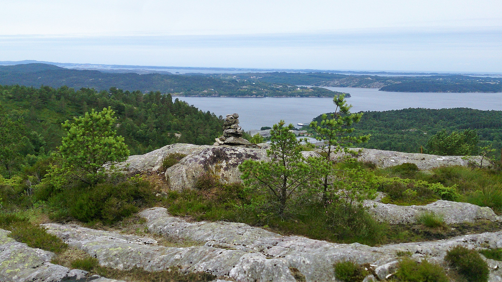
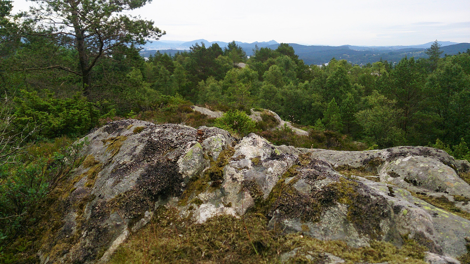
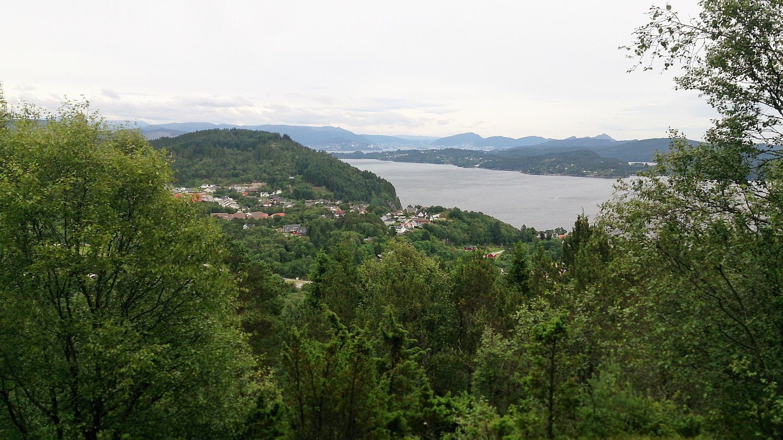
I then followed the marked trail north until reaching an intersection at the western base of Ramusfjellet. Here I initially started right (east), but while there was a trail, I quickly figured out that it would not take me up to Ramusfjellet. I therefore turned back and tried left (west) instead, and after only a few meters the trail again turned east, taking me up along the ridge along a very nice trail. The summit of Ramusfjellet provided very nice views towards the southwest. Definitely worth a visit.
Hjartåsfjellet
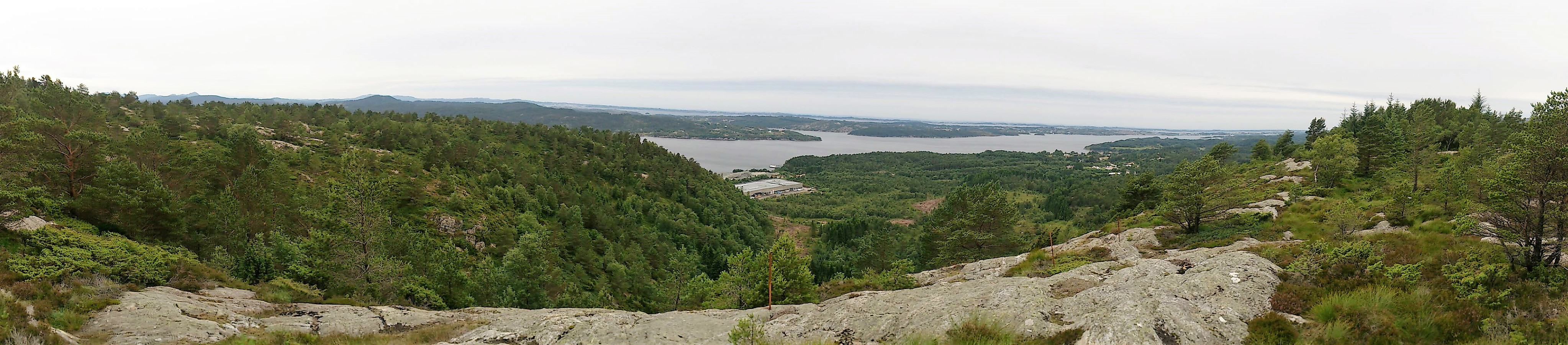
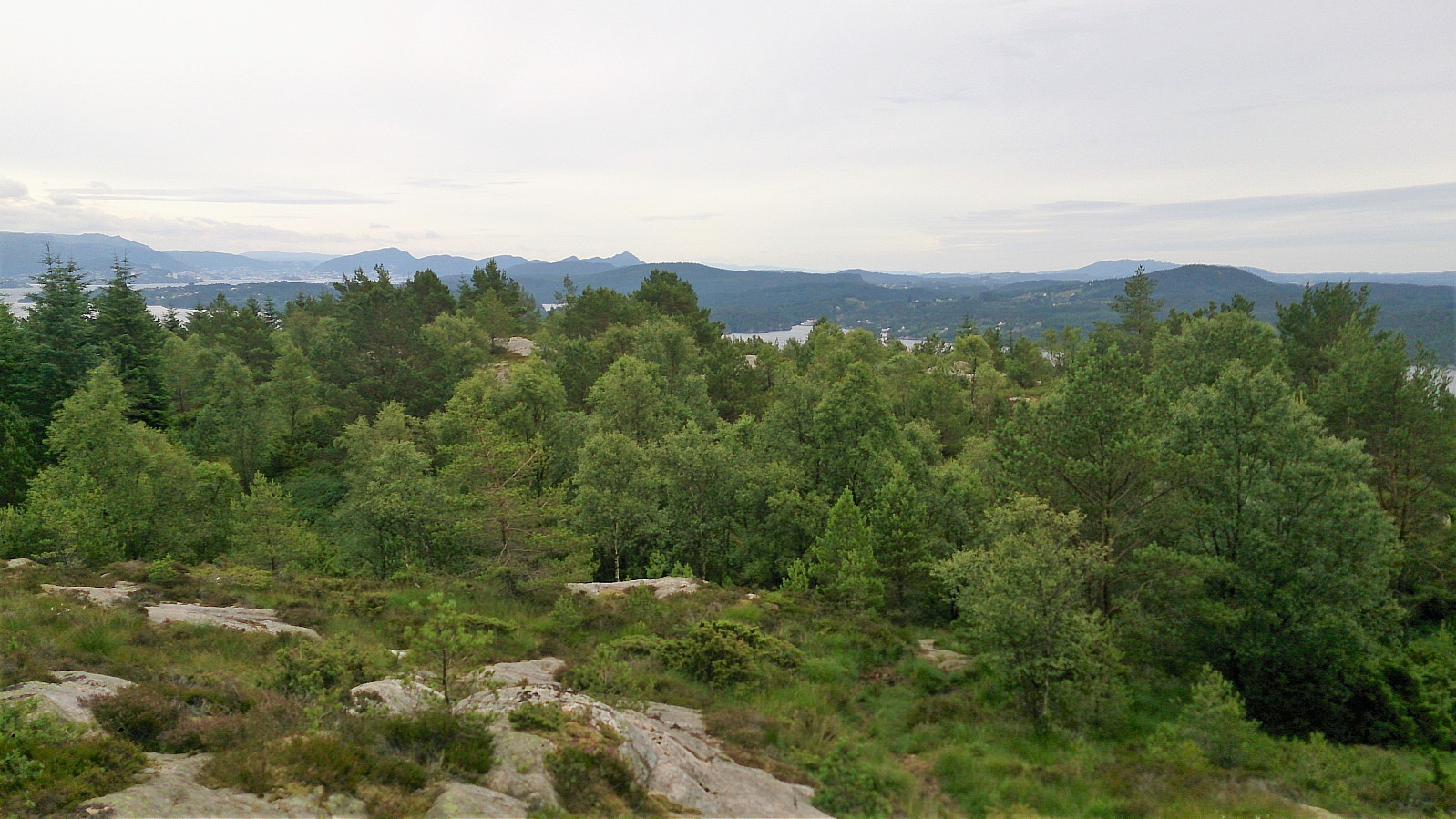
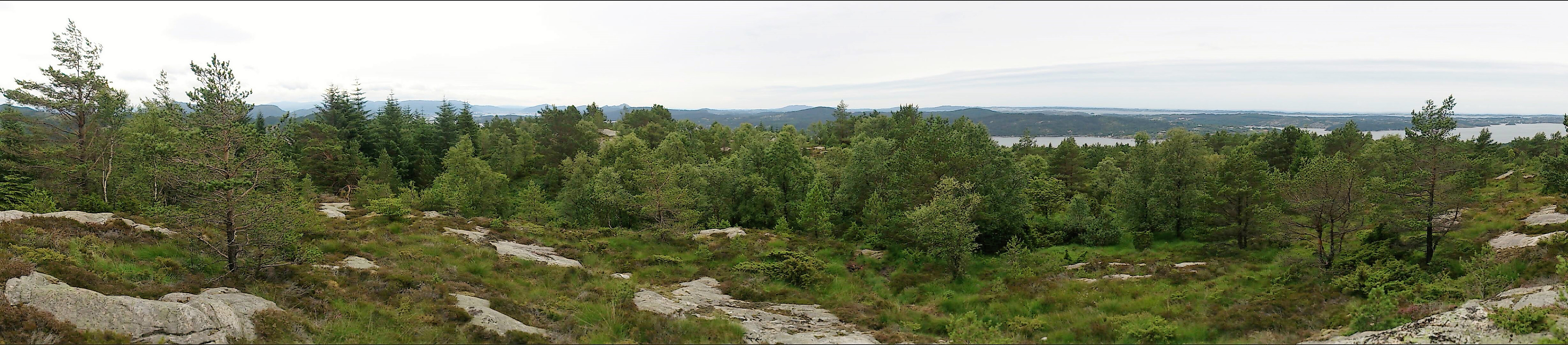
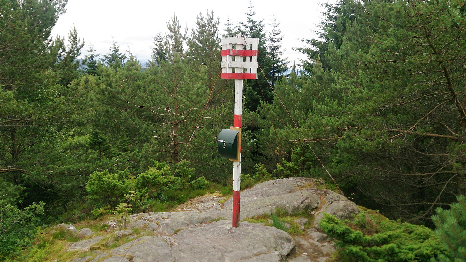
From Ramusfjellet I continued east along the ridge, where the trail turned south in the direction of Hjartåsfjellet. There was only a small valley in between the two summits and I quickly found myself at the highest point at Hjartåsfjellet. The views were more limited compared to Ramusfjellet, but with better views towards the south, where one could even see the Bergen city center.
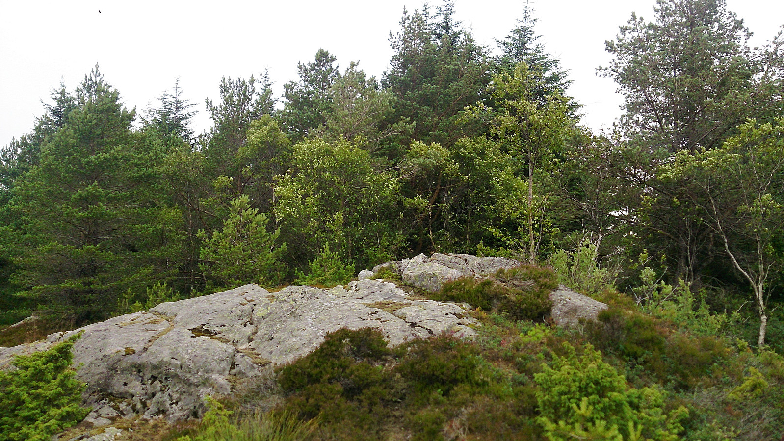
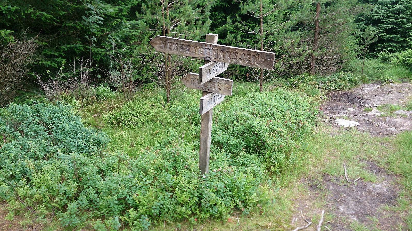
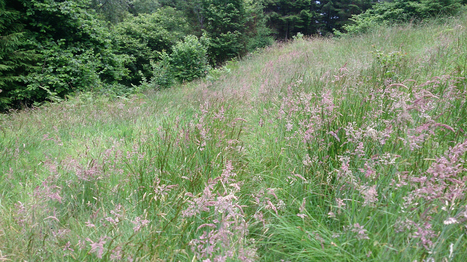
The plan now was to head south back down to the main road, so I followed the trail in this direction. After a short while I came across the visitor register for marking my visit to Hjartåsfjellet. From this location there were absolutely no views though. Shortly thereafter I arrived at a crossroads with various trail options (see picture). I decided to go left (east) towards Holme.
Closed trail...
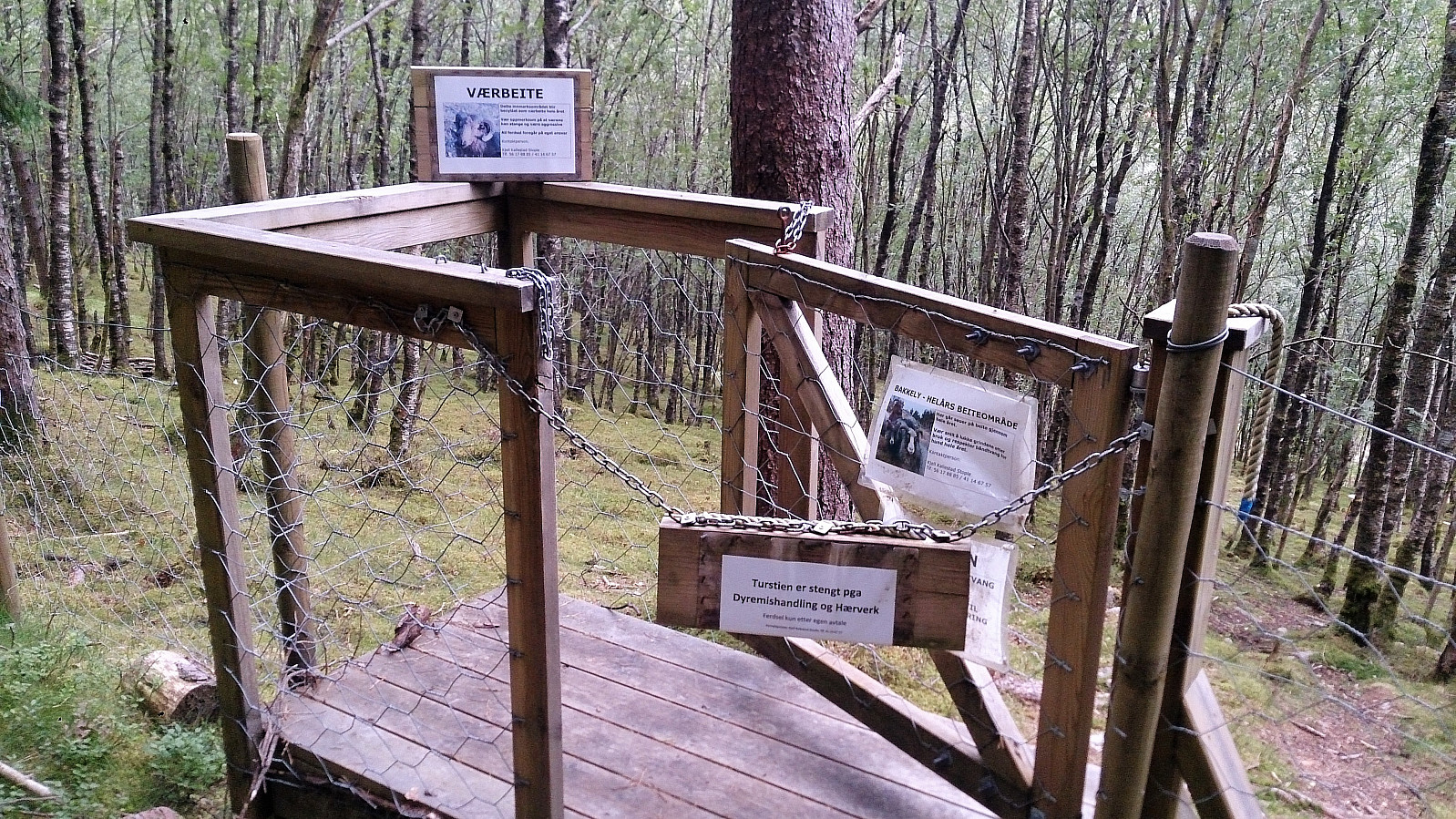
However, upon almost reaching Holme, I came across a locked gate with a sign saying that the trail was closed (see picture). I decided to see if I could head south to connect with the main road that way, but I could not find and good options. At this point it of course also started raining. After a while I gave up and climbed north through the relatively dense spruce forrest to reconnect with trail I had left half an hour earlier, only to retrace my steps back west until locating an alternative route south.
I took the first option I came across, and finally managed to find my way down to the main road. Although parts of this "trail" consisted of crossing a field where the only indication of the trail was that someone had walked there before me and left their marks in the tall grass.
From Hjartås to Flatøy
Upon reaching the main road at Hjartås, it became clear that my extra detour had completely messed up my timing with regards to buses, and my only real option was now to walk all the way to Flatøy for the bus back to Bergen (or wait for 40 minutes...). Walking along the main road was not really an option though, as there were no sidewalks and high-speed traffic. I therefore instead headed north along Melandsvegen to Tveit, before turning east and later south to Sakstad, before passing Frekhaug and finally arriving at Flatøy. In total, this resulted in 10 km of walking along the road in the rain.
Conclusion
This hike cannot be easily summarized, as it started out quite nice but then had a twist that changed everything. The first part of the hike can be highly recommended, as long as one finds a better way to get back to the main road (probably by continuing directly south at the crossroads where I took left (east) towards Holme). Either taking the bus from there, or by coming by car and then heading back to the parking lot, would make for a nice short hike. The long walk all the way to Flatøy cannot really be recommended though, although it is probably much nicer in better weather.
| Start date | 15.07.2017 17:34 (UTC+01:00 DST) |
| End date | 15.07.2017 21:17 (UTC+01:00 DST) |
| Total Time | 3h 42min |
| Moving Time | 3h 31min |
| Stopped Time | 0h 11min |
| Overall Average | 4.3km/h |
| Moving Average | 4.5km/h |
| Distance | 15.8km |
| Vertical meters | 635m |


User comments