
Møsnuken and Tyssdalsfjellet (04.07.2017)

Skrevet av hbar (Harald Barsnes)

| Startsted | Ulvenskiftet (43moh) |
|---|---|
| Sluttsted | Ulvenskiftet (43moh) |
| Turtype | Fjelltur |
| Turlengde | 5t 11min |
| Distanse | 12,8km |
| Høydemeter | 762m |
| GPS |
|
| Bestigninger | Møsnuken (639moh) | 04.07.2017 |
|---|---|---|
| Tyssdalsfjellet (605moh) | 04.07.2017 | |
| Andre besøkte PBE'er | Linken (486moh) | 04.07.2017 |
| Tøsdalen parkering (60moh) | 04.07.2017 |
Møsnuken and Tyssdalsfjellet
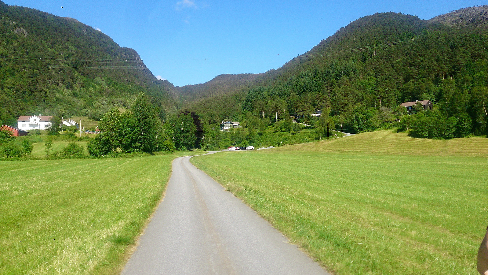

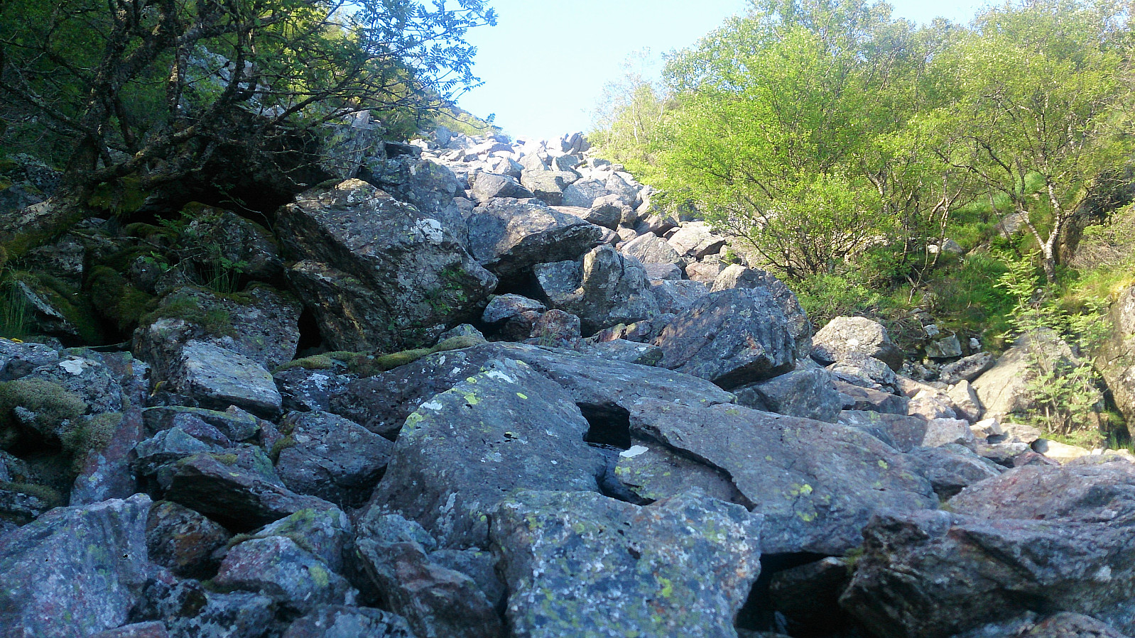
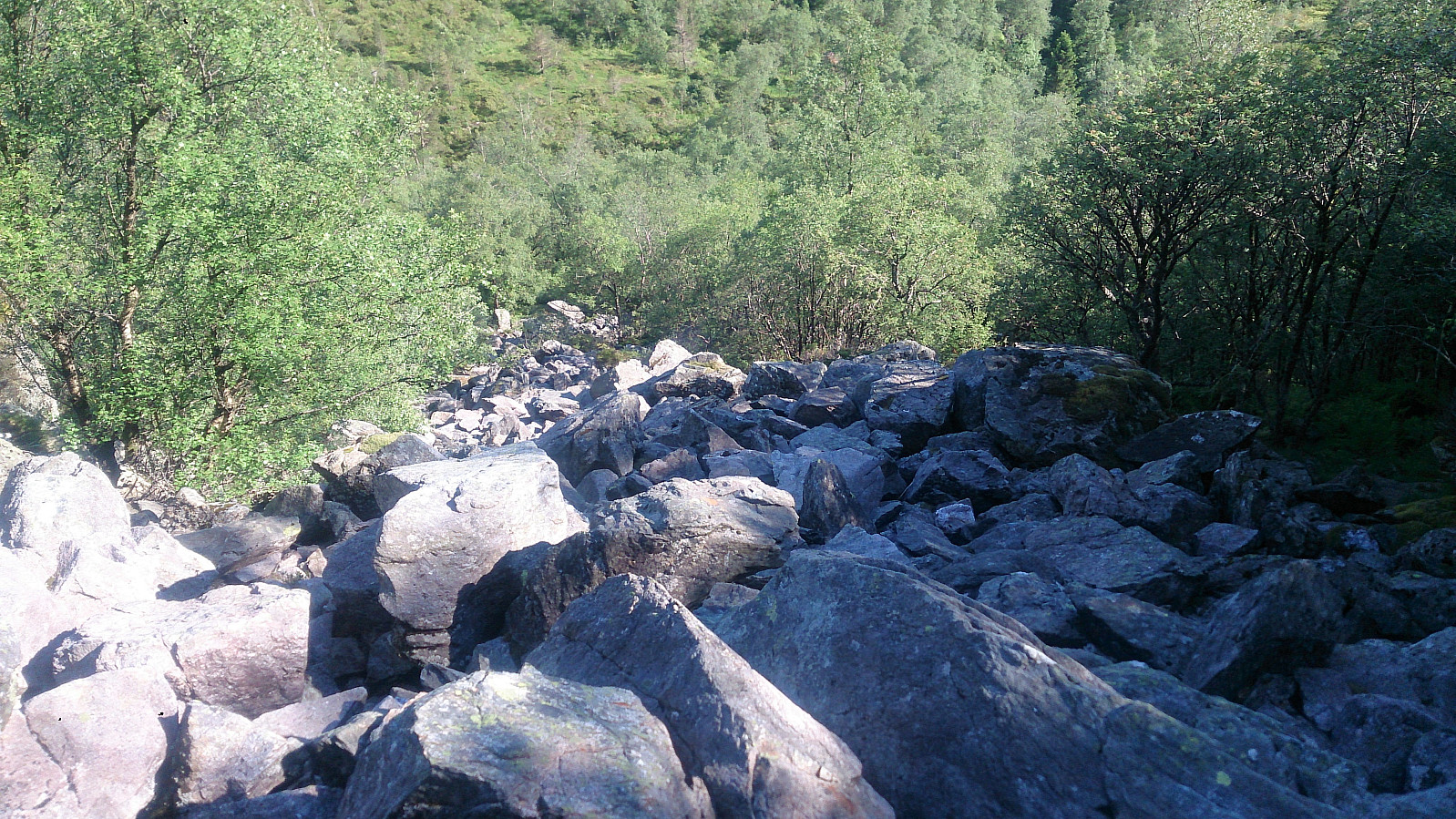

Started by taking the bus to Ulvenskiftet and walking up Tøsdalsvegen to Tyssdal for the real start of the hike. We then followed the marked trail northeast, first along a gravel road and later along a nice trail, until reaching the sign for "Møsnuken (bratt)", i.e. "Møsnuken (steep)", where the trail turned north. The indication on the sign was quite accurate, as we soon found ourselves climbing upwards among lots of large rocks. But while rather steep, making progress upwards was still not very difficult.
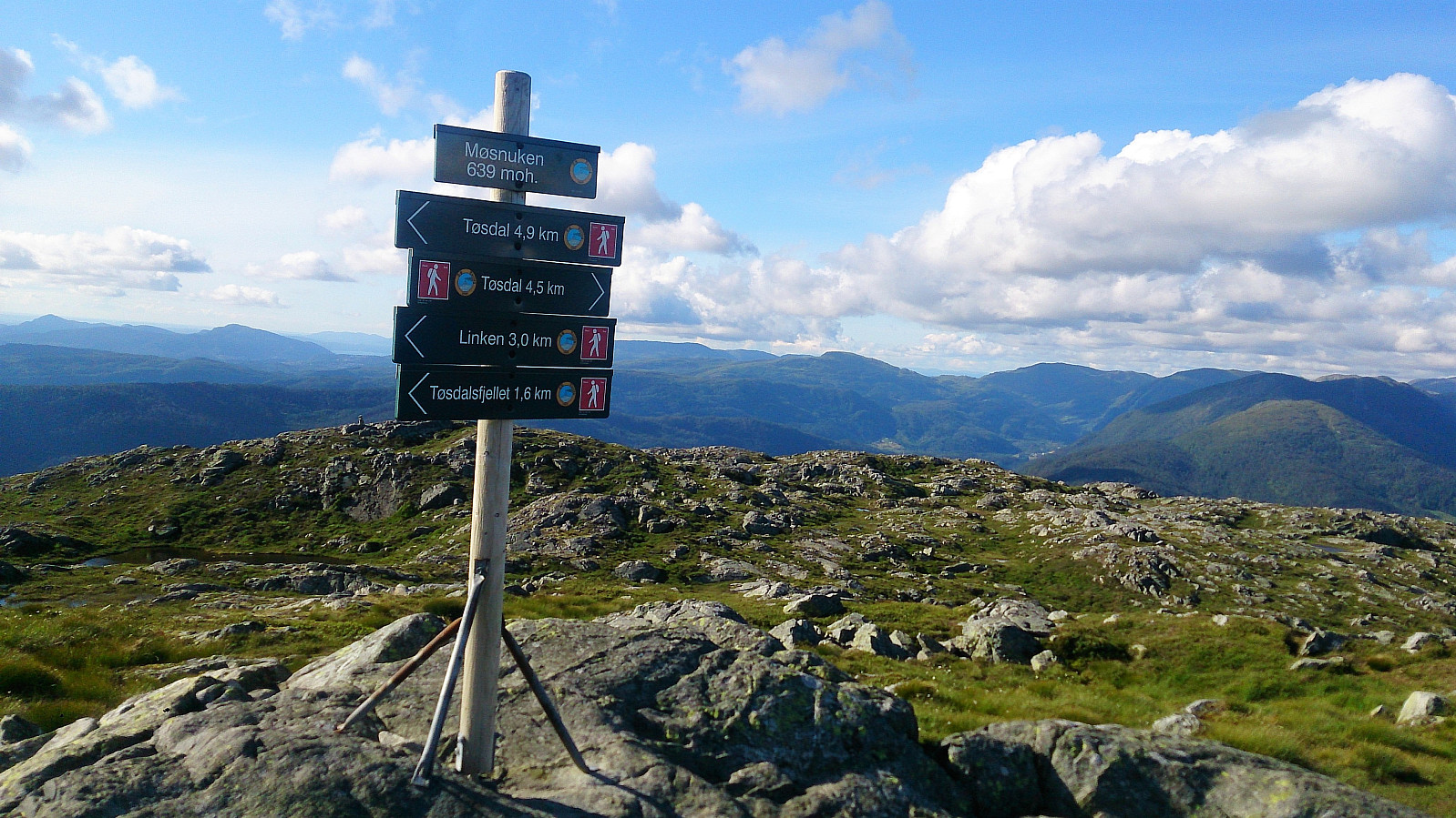
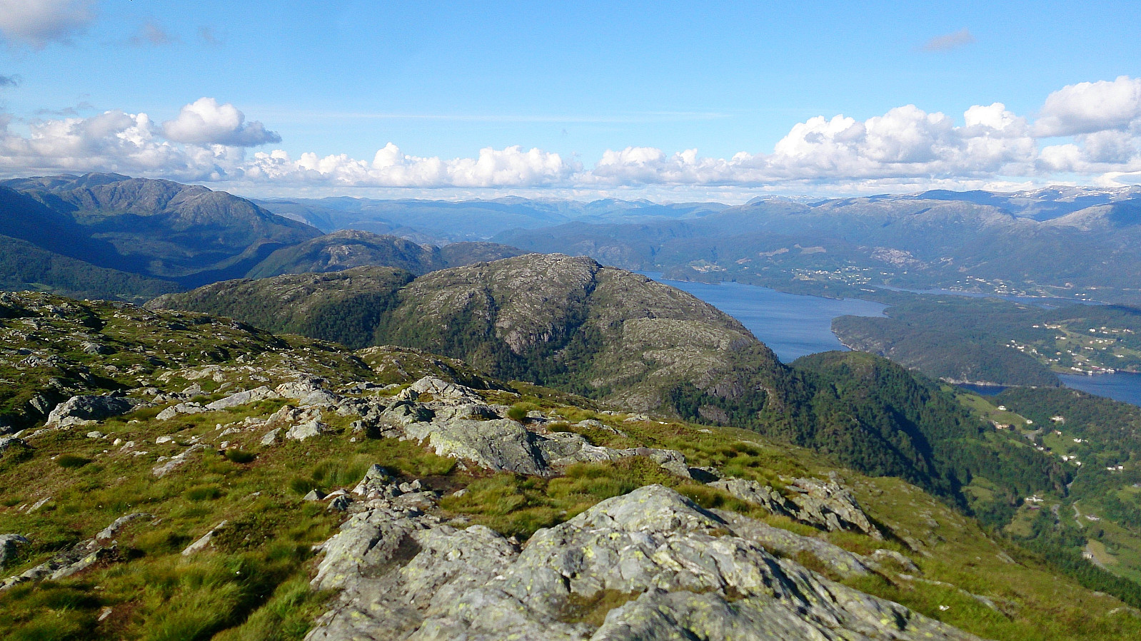
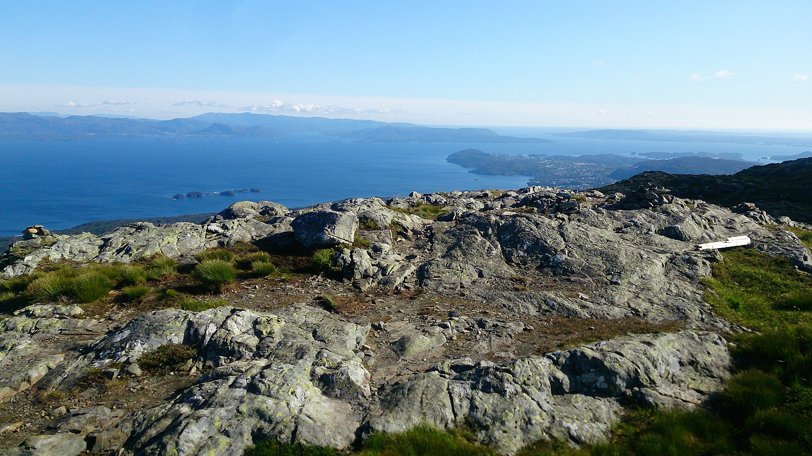
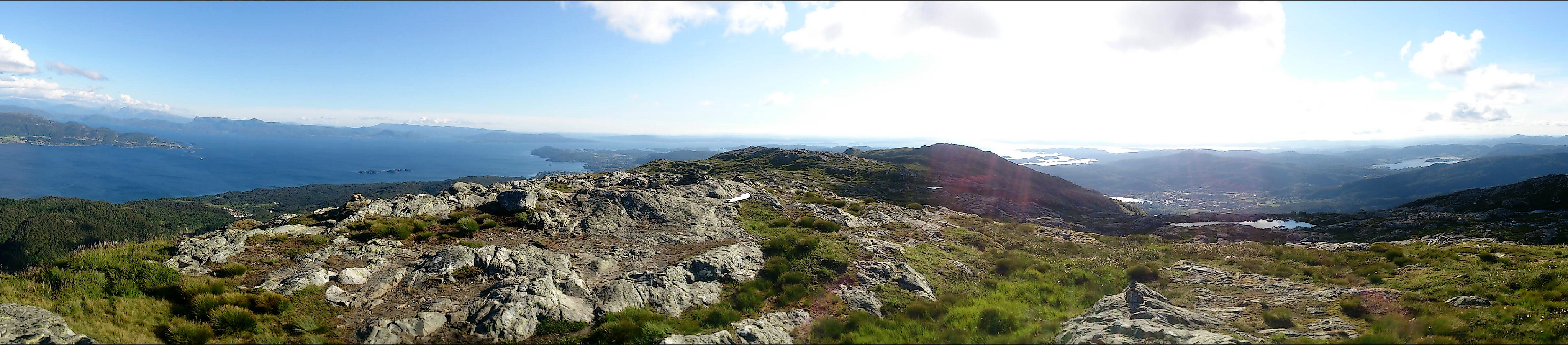
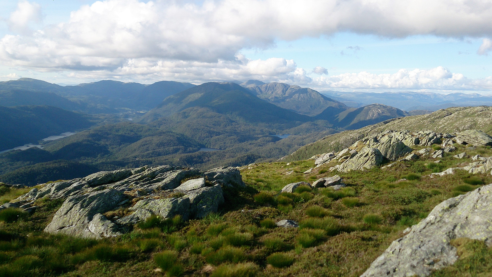
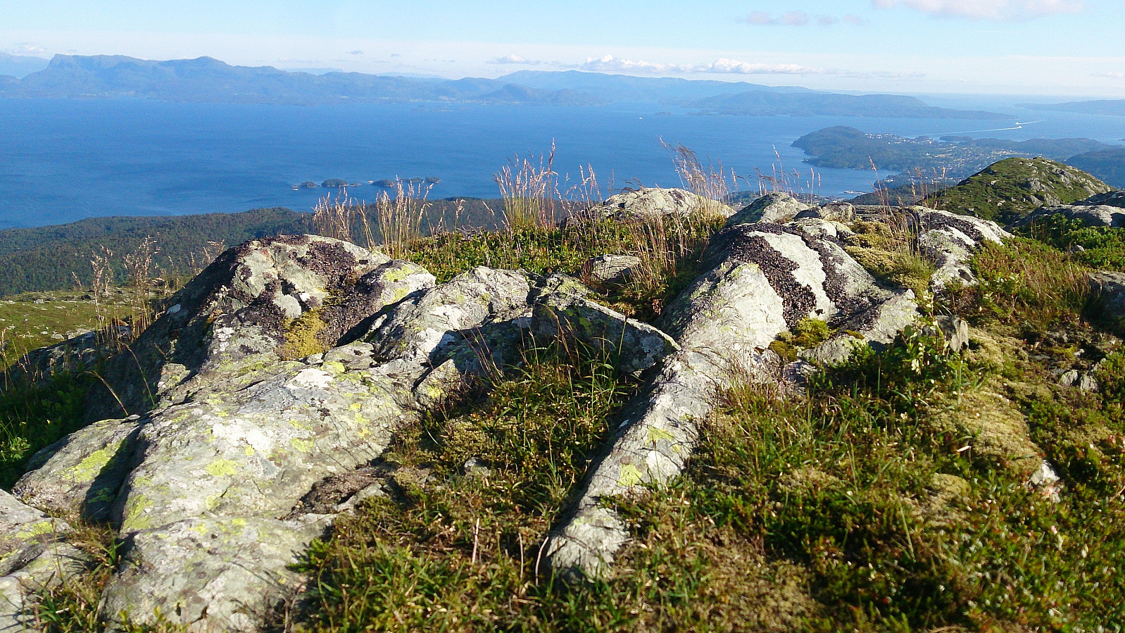
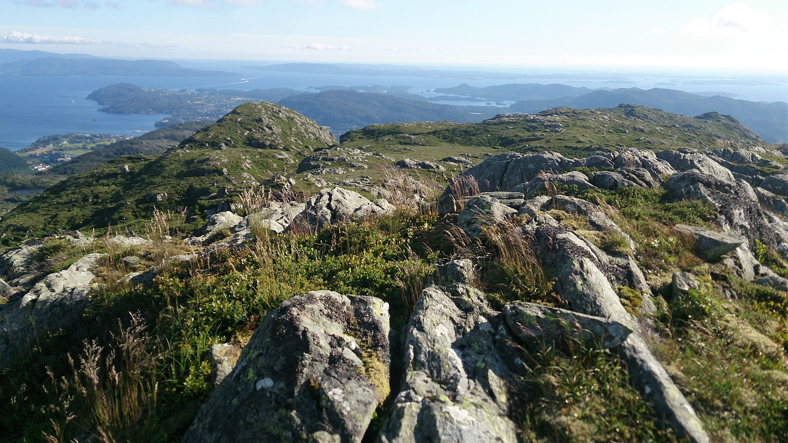
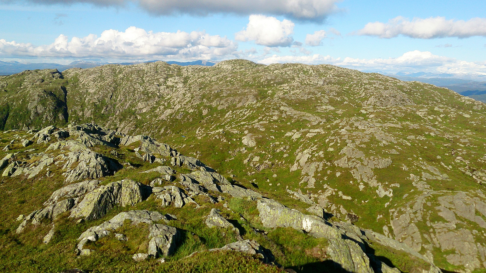
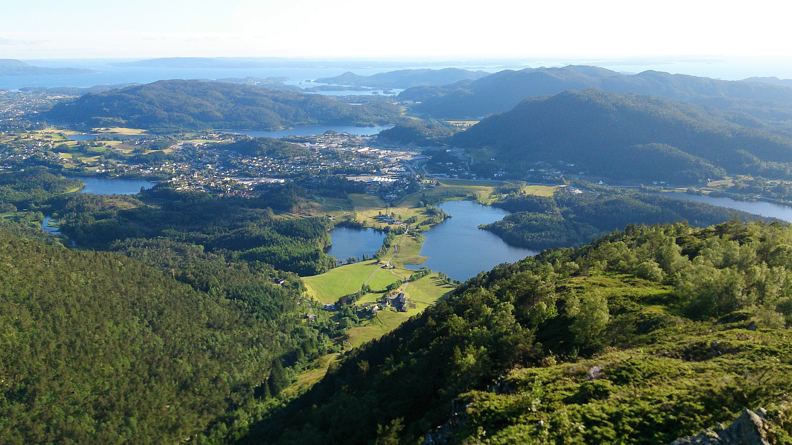
Upon reaching the end of the large rocks, the trail again turned northeast and flattened out, and we quickly arrived at the summit of Møsnuken for spectacular views in all directions! Quite windy at the summit, so we did not stay too long, and soon doubled back in the direction of Tyssdalsfjellet.
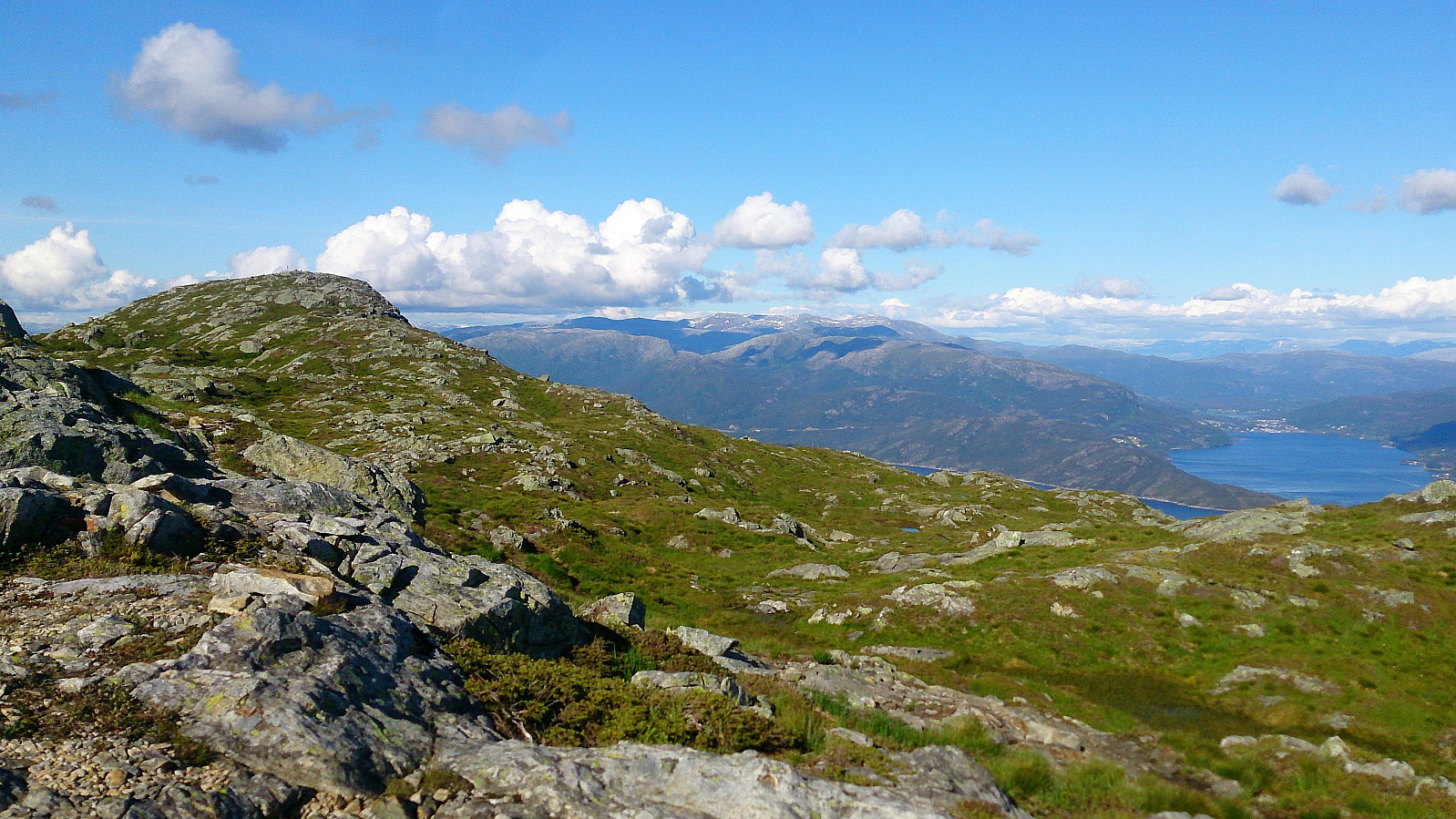
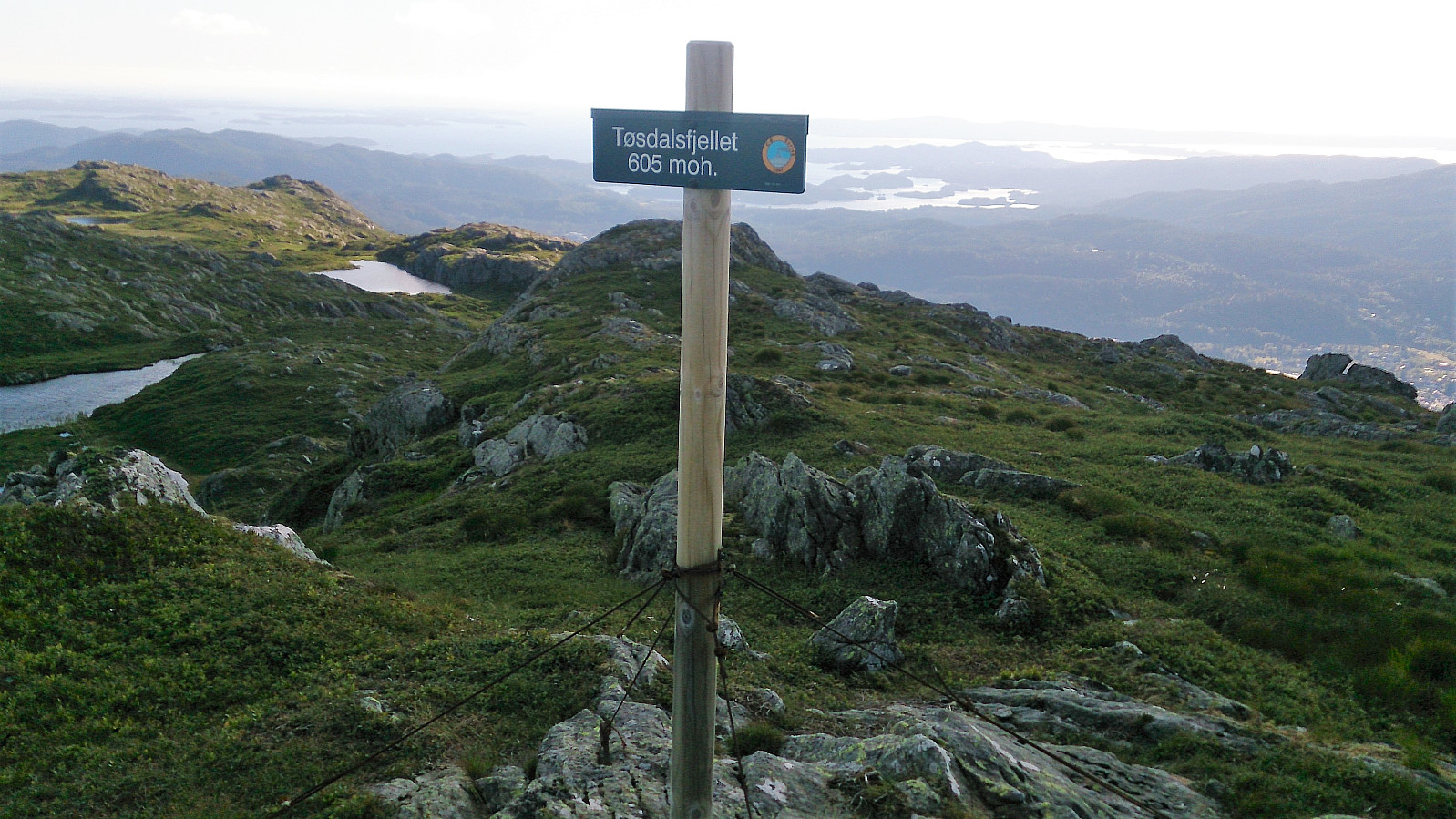
This trail was also easy to follow and the short detour from the main trail to reach the summit of Tyssdalsfjellet was also marked. The sign at Tyssdalsfjellet was however not located at the highest point. But it was straightforward to locate and move to the highest point from where the trail ended.
From the summit of Tyssdalsfjellet we continued southwest, passing by Linken, before starting the main descent. The descent was steeper than expected, but with a bit of care we all managed to safely get back down to the gravel road. From there the hike was concluded by walking back to the bus stop at Ulvenskiftet for the bus back to the city center.
Overall, an excellent hike with spectacular views that can be highly recommended! The climb up through the big rocks was also a nice extra bonus.


| Starttidspunkt | 04.07.2017 15:53 (UTC+01:00 ST) |
| Sluttidspunkt | 04.07.2017 21:05 (UTC+01:00 ST) |
| Totaltid | 5t 11min |
| Bevegelsestid | 4t 41min |
| Pausetid | 0t 30min |
| Snittfart totalt | 2,5km/t |
| Snittfart bevegelsestid | 2,7km/t |
| Distanse | 12,8km |
| Høydemeter | 761m |


Kommentarer