
Spjeldsfjellet, Sauafjellet and Knappskogfjellet (01.07.2017)

Skrevet av hbar (Harald Barsnes)

| Startsted | Spjeldbrekko (38moh) |
|---|---|
| Sluttsted | Morlandstø (46moh) |
| Turtype | Fjelltur |
| Turlengde | 3t 19min |
| Distanse | 10,4km |
| Høydemeter | 515m |
| GPS |
|
| Bestigninger | Knappskogfjellet (164moh) | 01.07.2017 |
|---|---|---|
| Saufjellet (134moh) | 01.07.2017 | |
| Spjeldsfjellet (166moh) | 01.07.2017 | |
| Andre besøkte PBE'er | Fjæreide parkering (30moh) | 01.07.2017 |
| Knappskogfjellet p-lomme (55moh) | 01.07.2017 |
Spjeldsfjellet, Sauafjellet and Knappskogfjellet

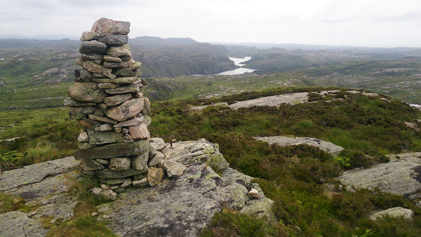
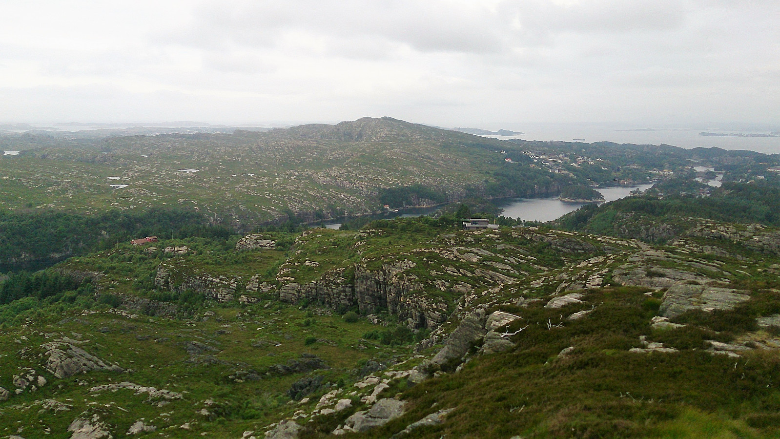
Spjeldsfjellet
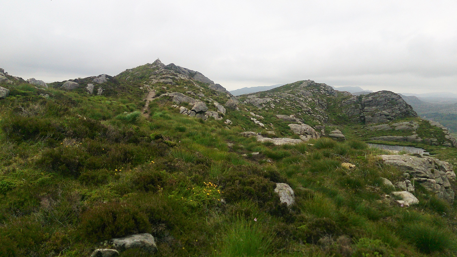
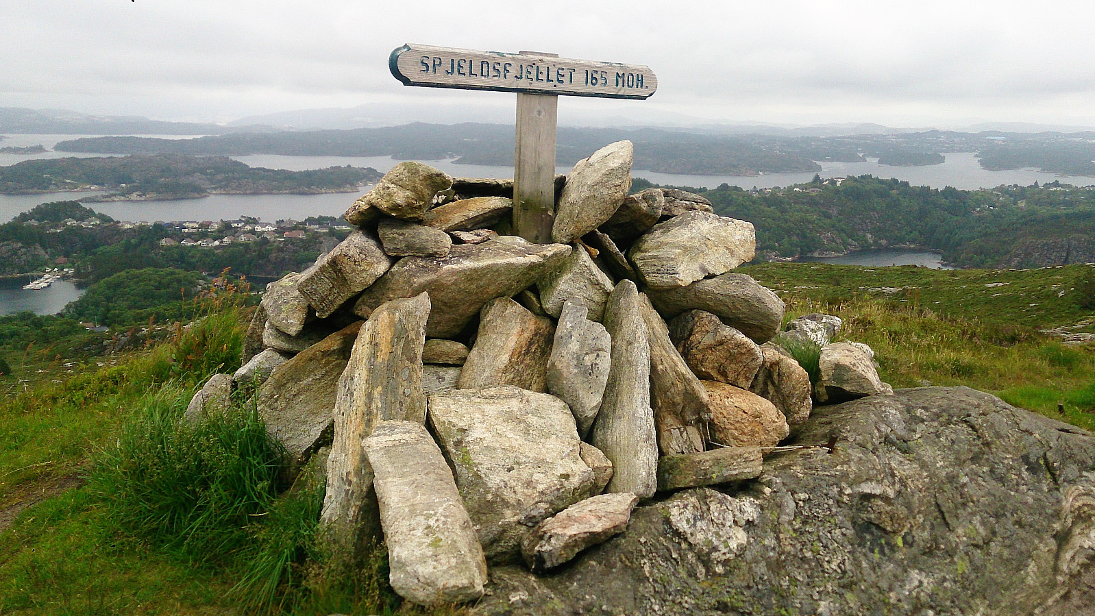
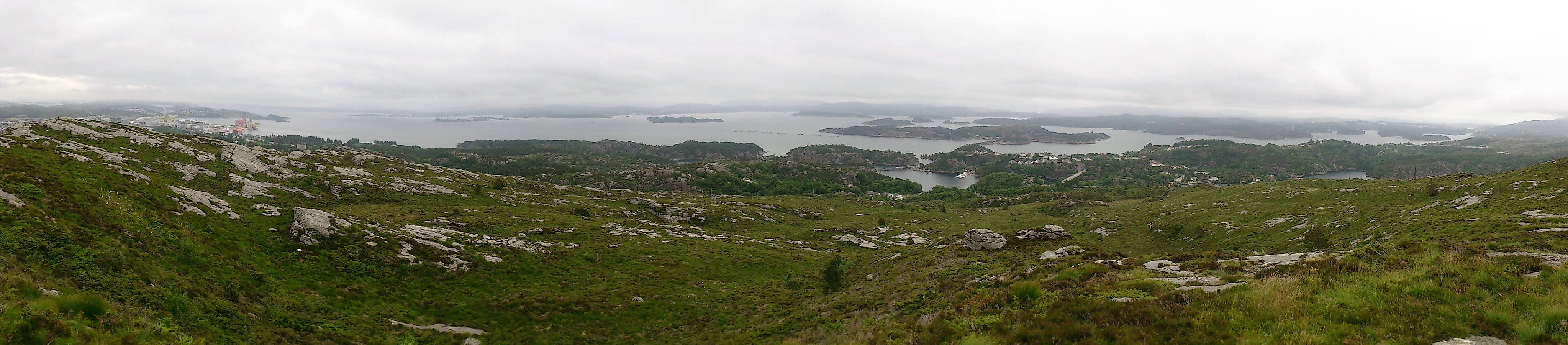
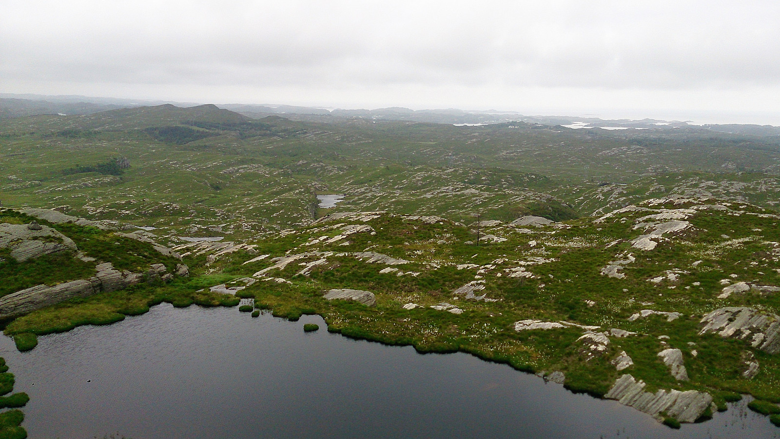
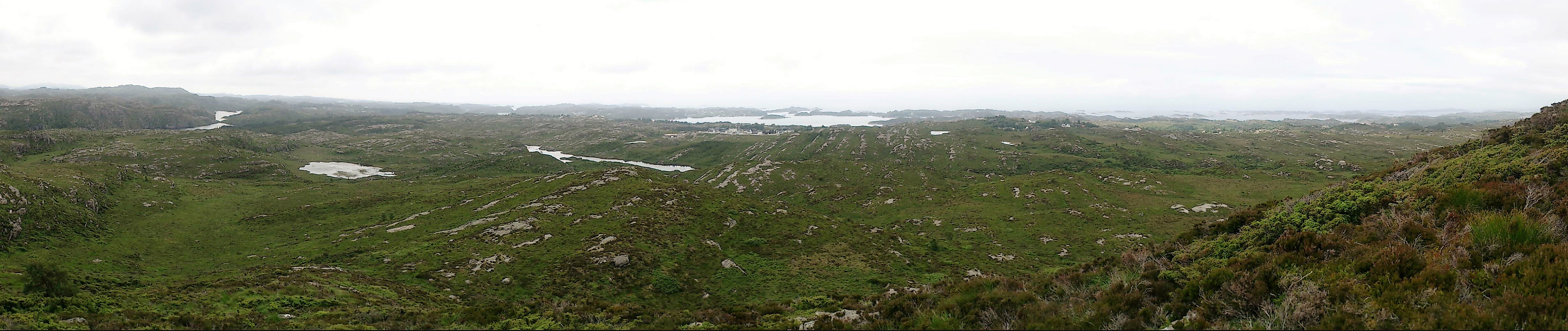
Started by taking the bus to Spjeldbrekko and locating the trail towards Spjeldsfjellet. The trailhead was not marked, but easy to find as it started directly from the sidewalk on the opposite side of the road from the bus stop. The trail itself was easy to follow and I quickly arrived at the summit for some nice views in all directions. Even though the weather conditions were not optimal in terms of visibility.
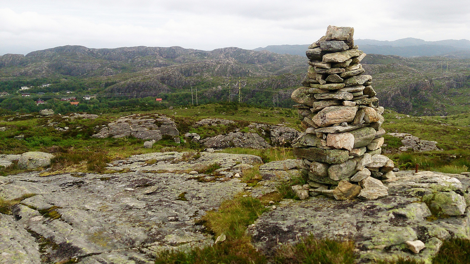
Sauafjellet
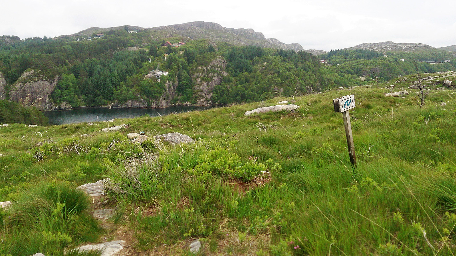
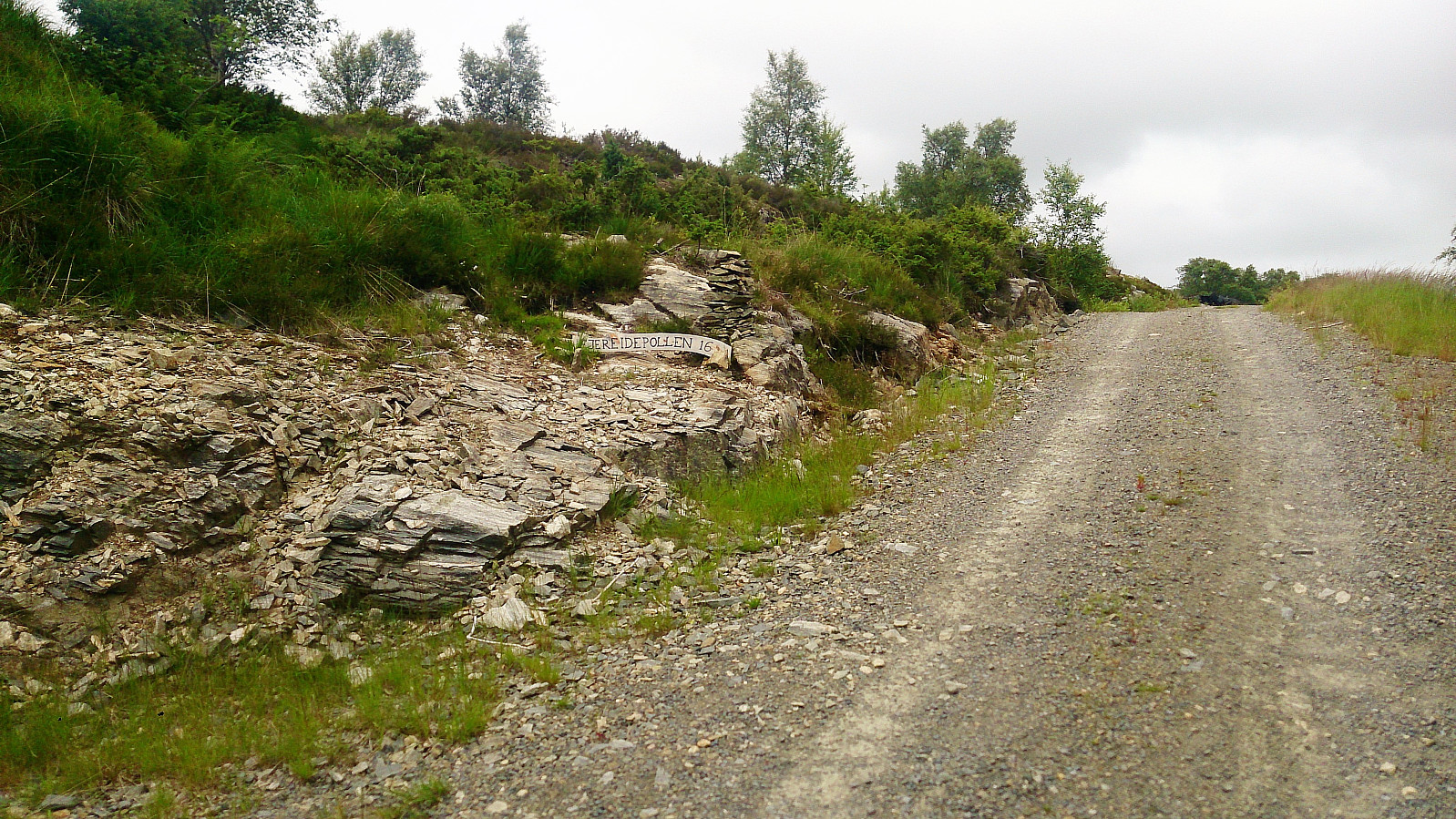
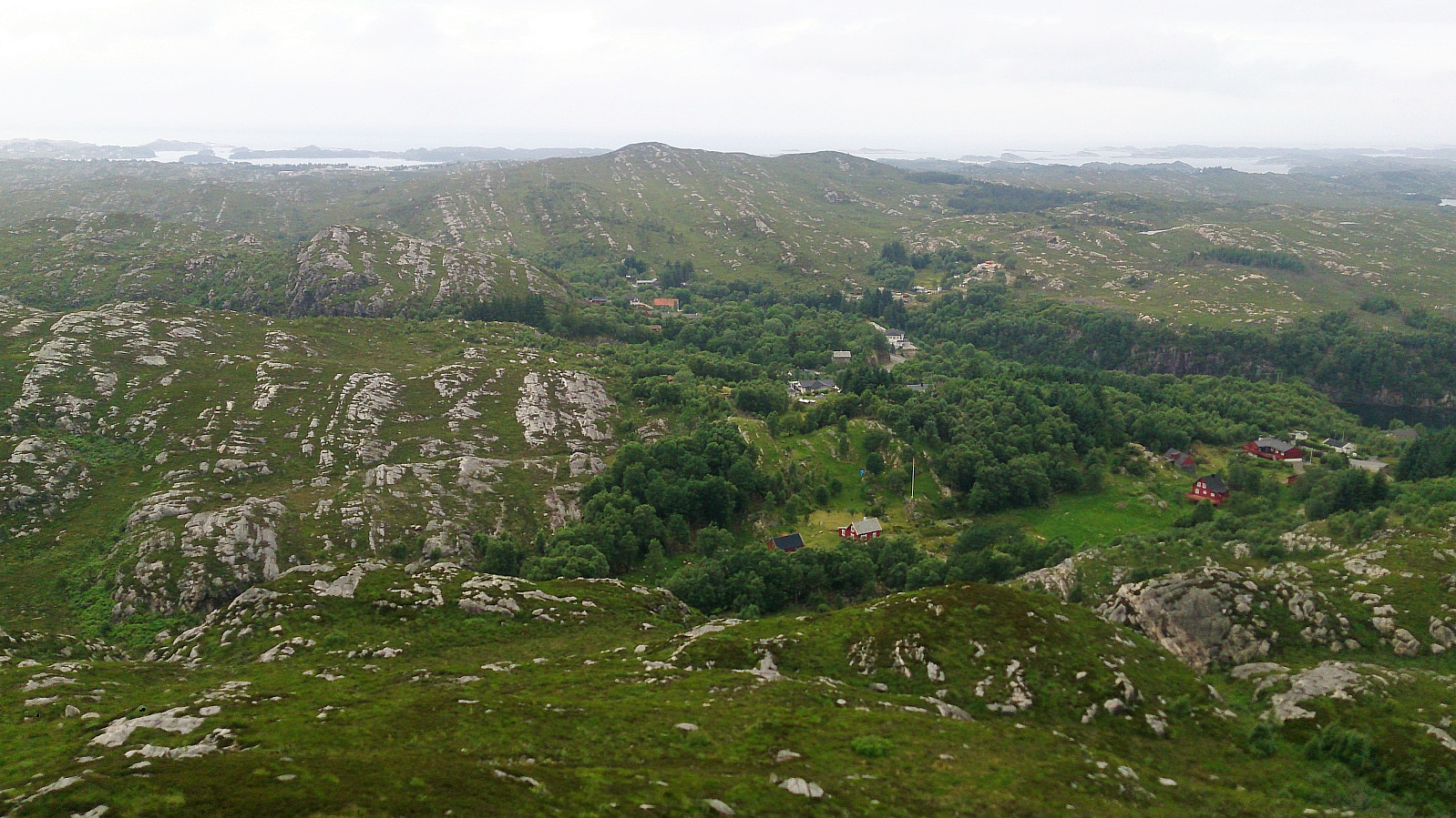
From Spjeldsfjellet, I continued south along the trail towards Fjæreide on the west side of Fjæreidpollen. This trail was also unmarked (with the exception of the N's indicating that the trail was part of Nordsjøløypa), but for the most part it was straightforward to follow and within not too long I arrived at Fjæreide.
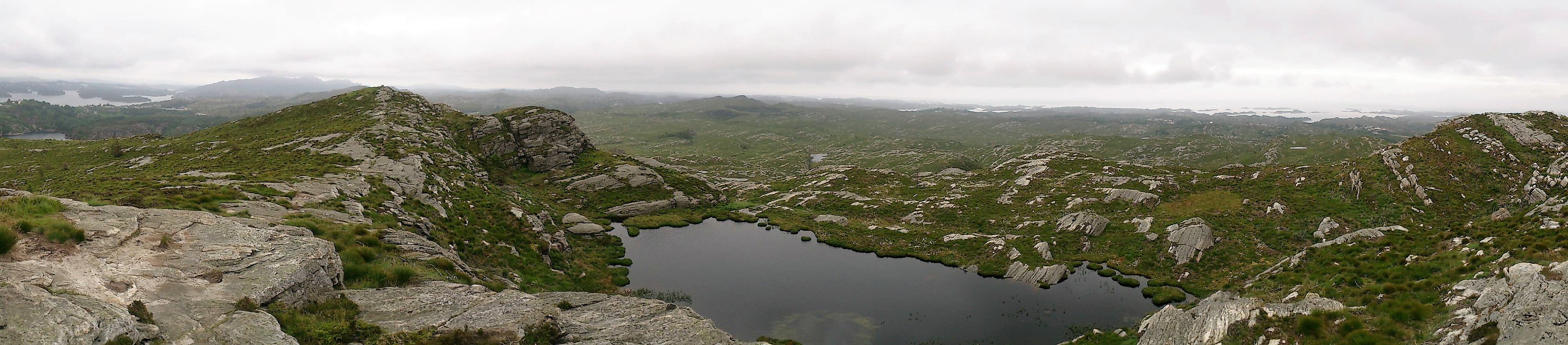
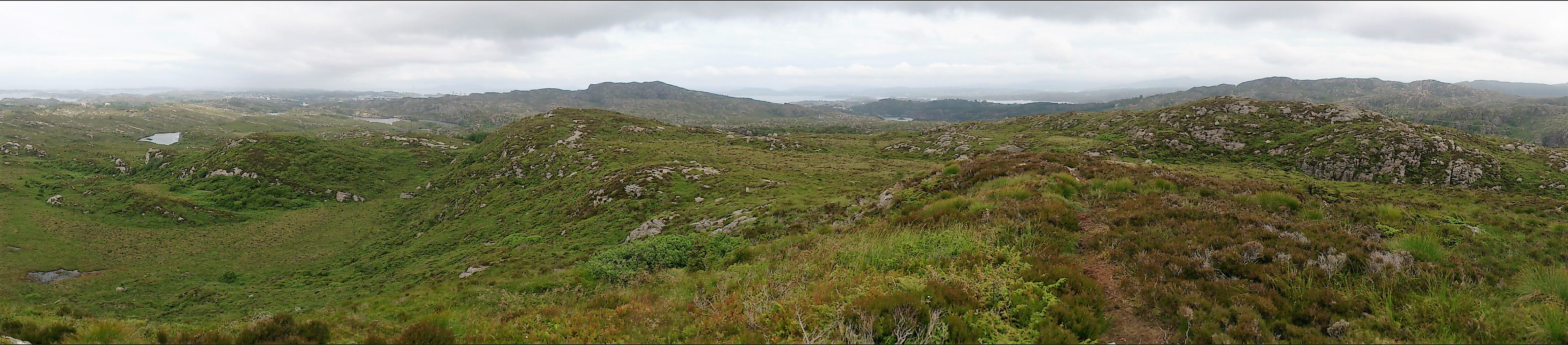
I then continued along the road for about 200 meters, passing the turnaround area, before turning right (northeast) up a small side road. As soon as this side road turned into a gravel road I found a trail going towards Sauafjellet (see GPS track for details). The trail was a bit weak at times, but could be followed to the summit without any issues. There was a cairn, but the highest point was located a bit more than 100 meters to the west of the cairn. Here the views were also slightly better.
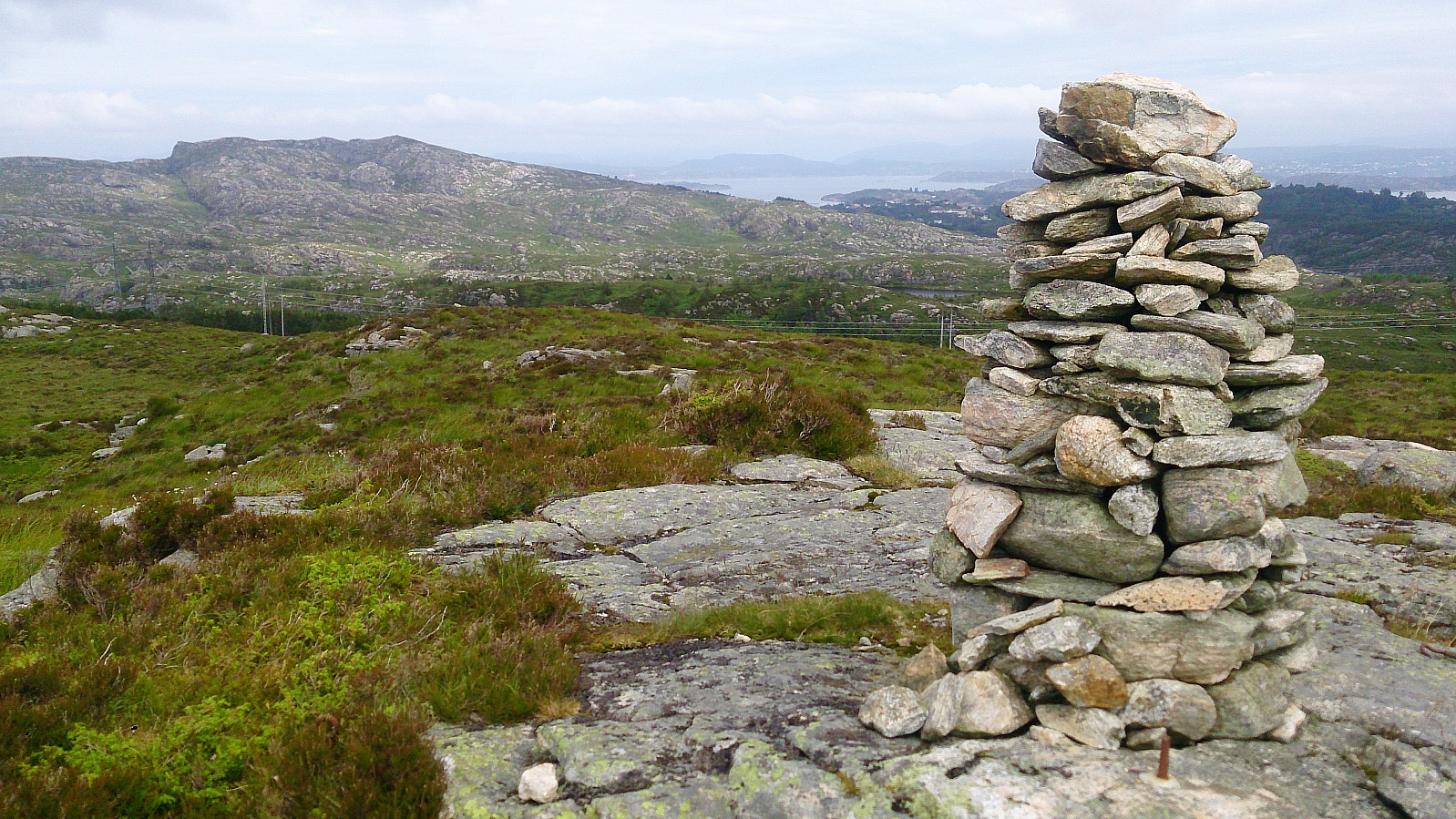
Knappskogfjellet
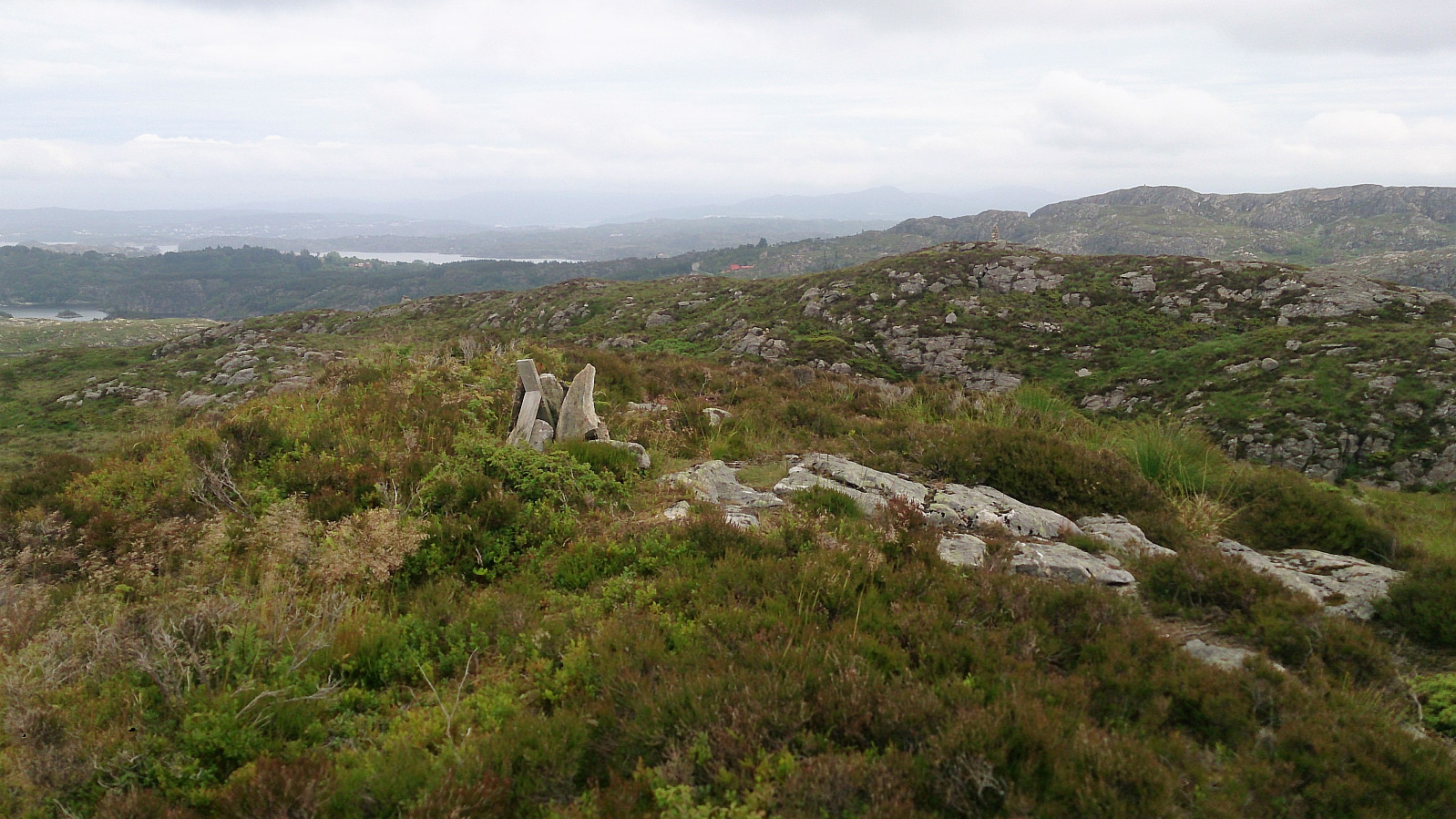
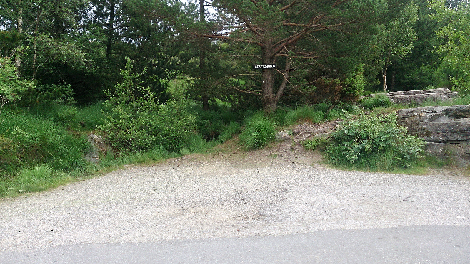
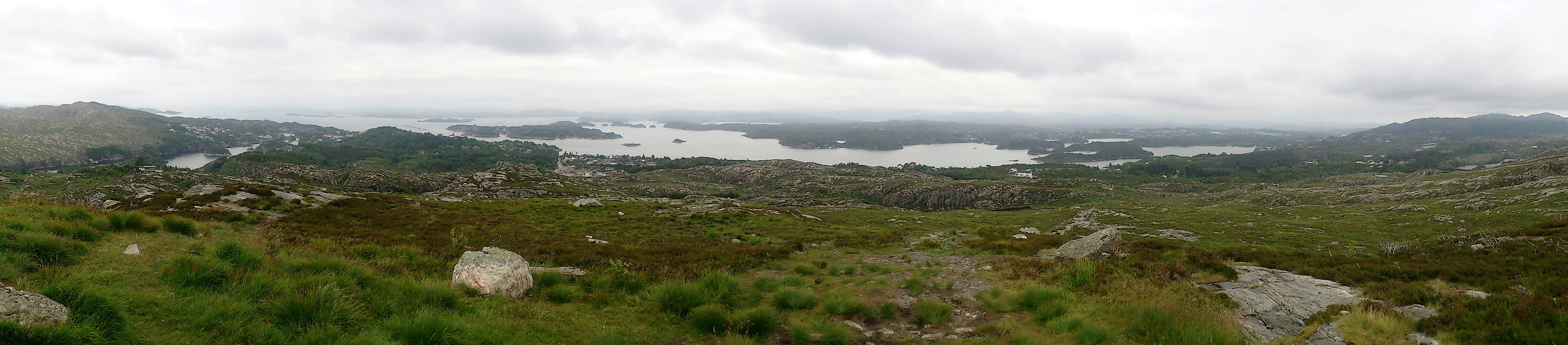
I then doubled back, following the same route to Fjæreide, before starting the ascent towards Knappskogfjellet. I decided to follow the paved road until the trail head at Hesteskoen and from there follow the standard trail to the summit. The summit provided excellent views in all directions, but even though the sun here came out for a short while, I expect the views to be significantly better in better weather conditions.
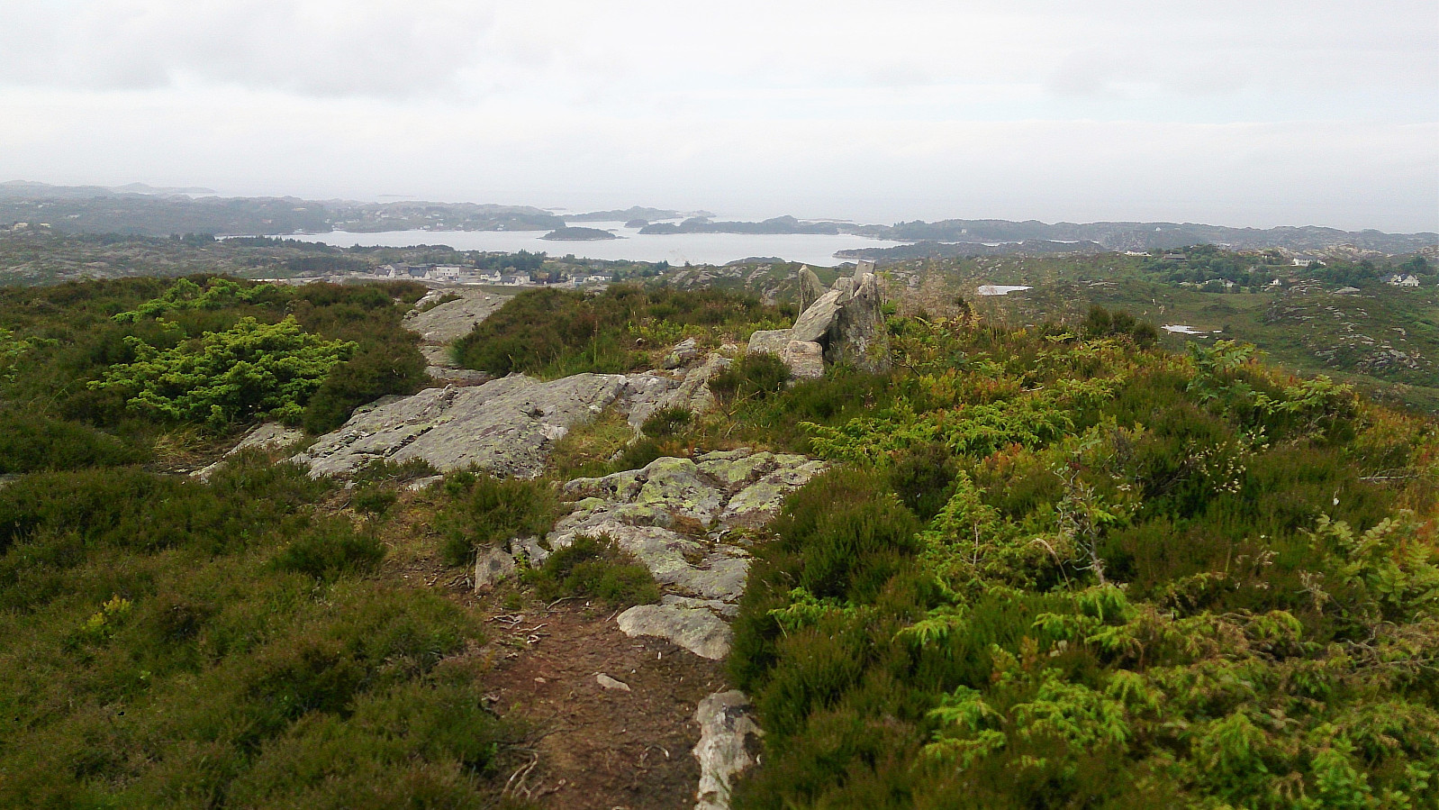
From the summit I followed the trail back east, but this time continuing east before approaching the small lake. This trail was also of ok quality and I quickly connected with the main road just north of Morlandstø, where I located the nearest bus stop for the bus back to Bergen.
Conclusion
An enjoyable hike that can be highly recommended for those wanting to visit Spjeldsfjellet and Knappskogfjellet (and Sauafjellet), and still get a proper hike out of it, compared to just the short trips to the two (three) summits individually.


| Starttidspunkt | 01.07.2017 12:26 (UTC+01:00 ST) |
| Sluttidspunkt | 01.07.2017 15:45 (UTC+01:00 ST) |
| Totaltid | 3t 19min |
| Bevegelsestid | 3t 00min |
| Pausetid | 0t 19min |
| Snittfart totalt | 3,1km/t |
| Snittfart bevegelsestid | 3,4km/t |
| Distanse | 10,4km |
| Høydemeter | 515m |


Kommentarer