
Roundtrip at Gullfjellet (28.06.2017)

Geschrieben von hbar (Harald Barsnes)

| Startpunkt | Osavatnet (314m) |
|---|---|
| Endpunkt | Osavatnet (314m) |
| Tourcharakter | Bergtour |
| Tourlänge | 7h 22min |
| Entfernung | 18,1km |
| Höhenmeter | 1.177m |
| GPS |
|
| Besteigungen | Gullfjellet (914m) | 28.06.2017 |
|---|---|---|
| Gullfjelltoppen (987m) | 28.06.2017 | |
| Litlagullfjellet (799m) | 28.06.2017 | |
| Toro (733m) | 28.06.2017 | |
| Vossavardane, M (793m) | 28.06.2017 | |
| Besuche anderer PBE | Osavatnet p-plass (kr) (310m) | 28.06.2017 |
| Redningshytten, Gullfjellet (600m) | 28.06.2017 |
Roundtrip at Gullfjellet
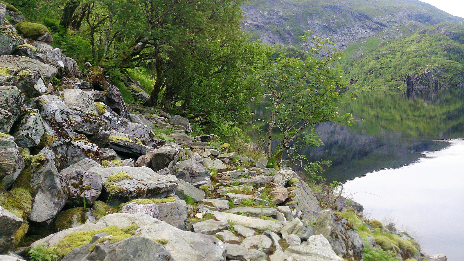


From Osavatnet to Tjørnane
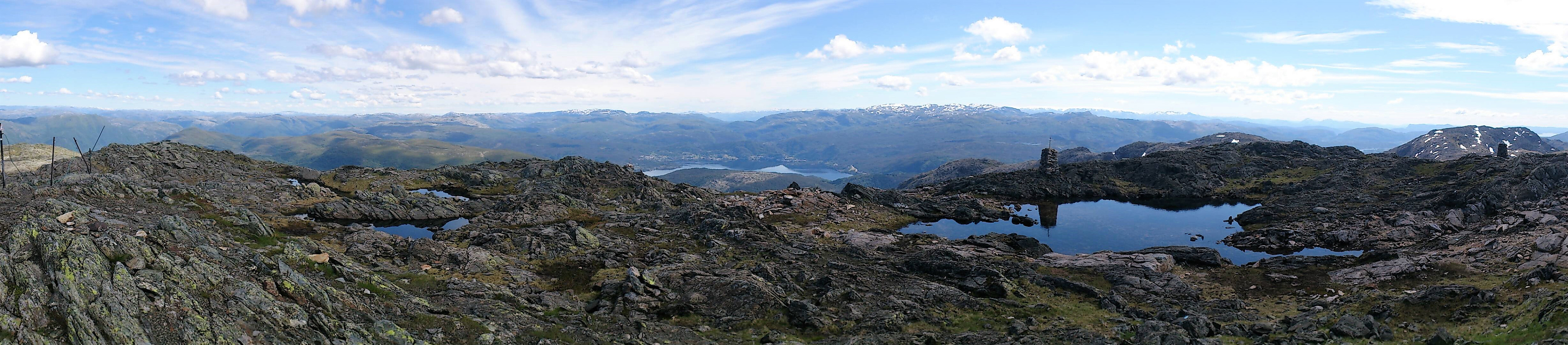
Starting from the parking lot at Osavatnet we followed the trail along the west and later north side of Svartavatnet, then up Svartavasslia to Tjørndalen, before arriving at Tjørnane. The trail was unmarked, but very nice and easy to follow.
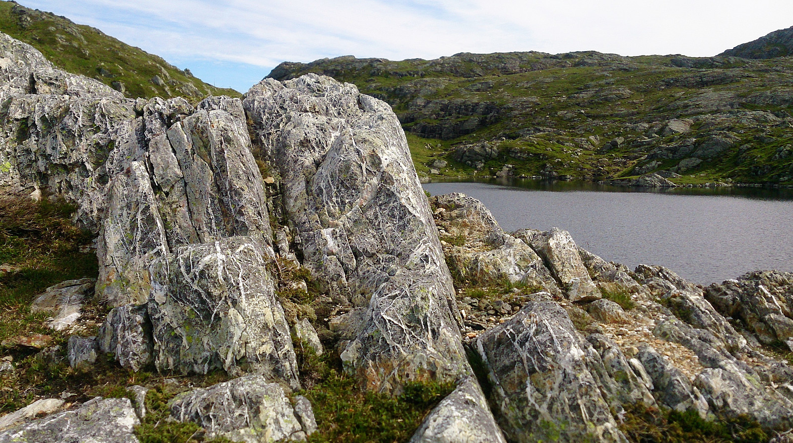
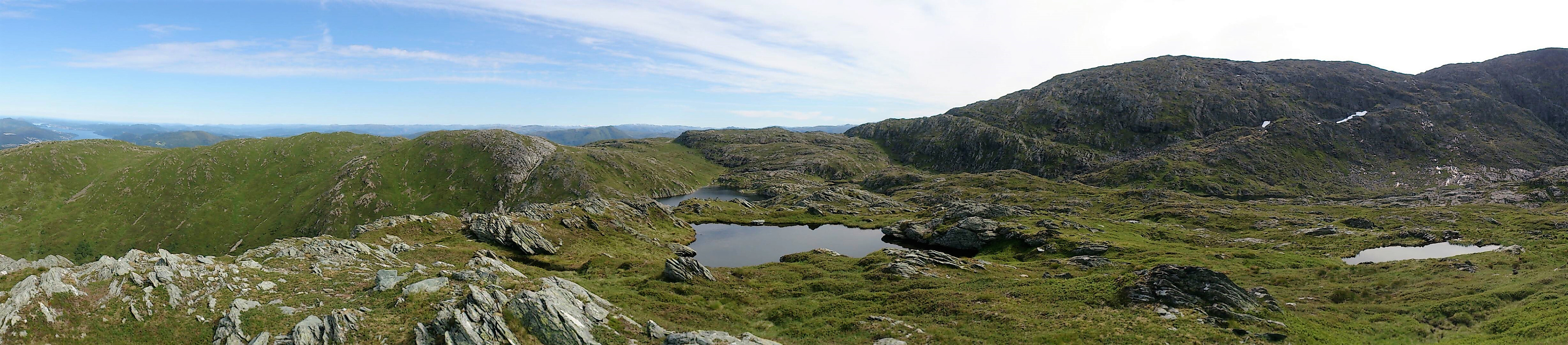
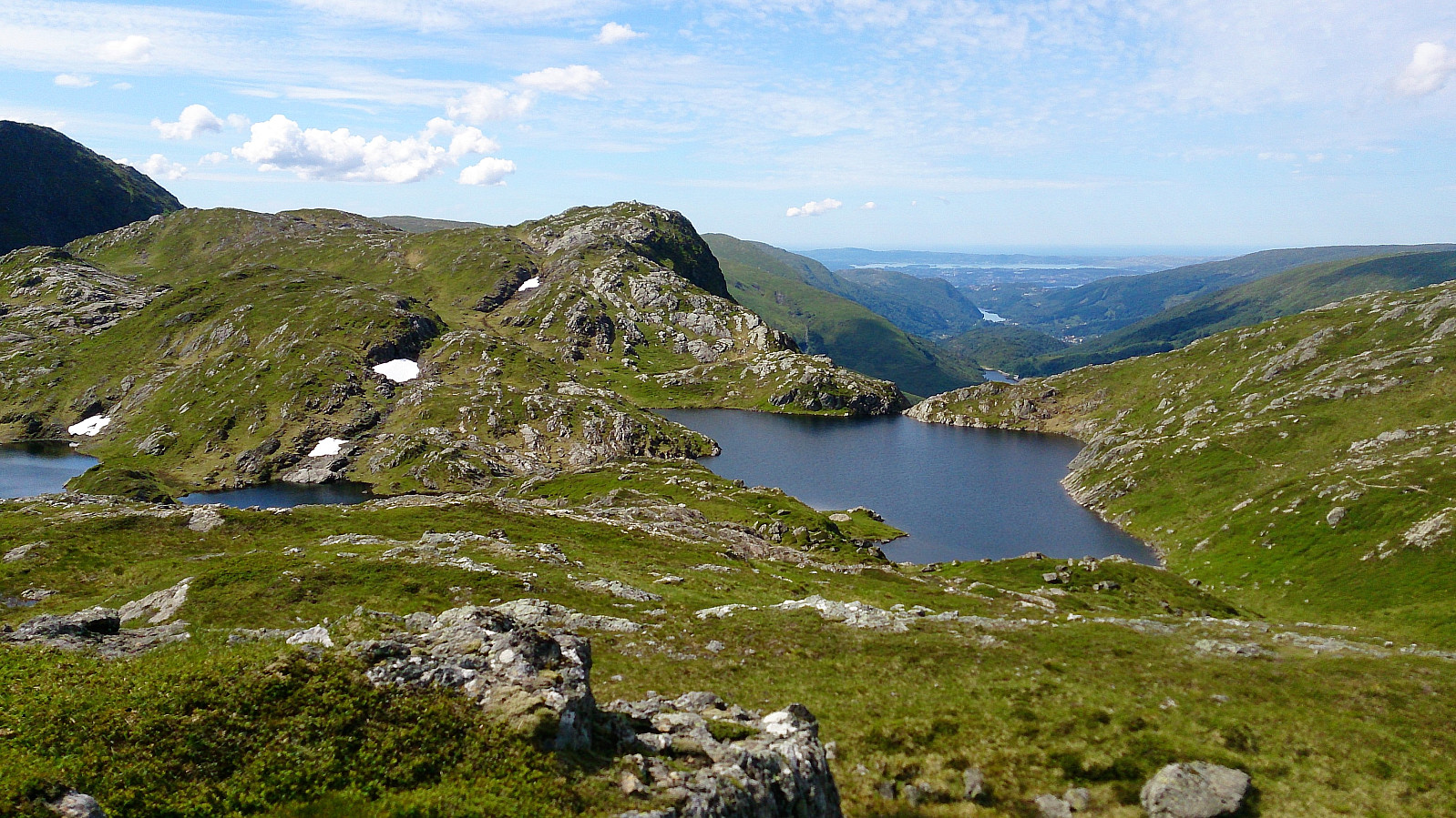
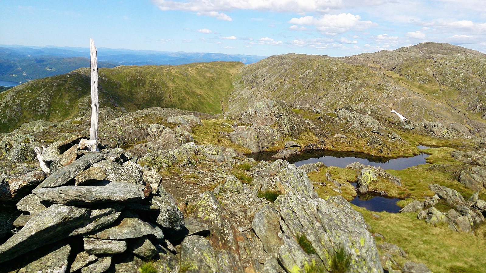
Litlagullfjellet
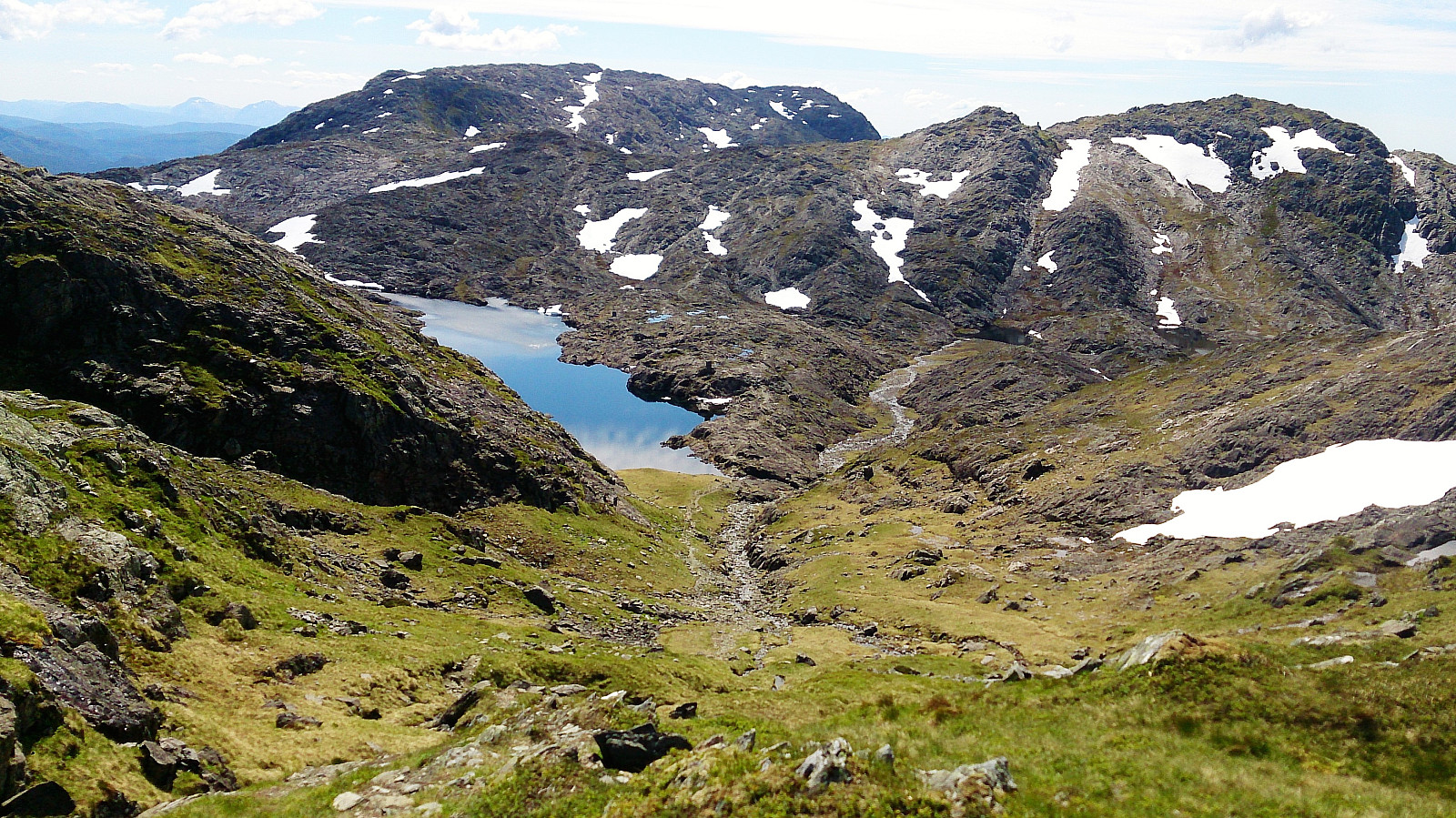
After arriving at Tjørnane, I made a quick detour to the summit of Litlagullfjellet. At first it seemed a bit difficult to ascend directly from the north. The trick was to utilize the stones sticking up out of the water on the Litlagullfjellet side of the lake (right next to where the stream from Tjørnane starts heading down to Tjørndalen). This takes you a couple of meters east, thus avoiding the steepest sections. The ascent was then much easier and only required some light climbing. The summit itself provided spectacular views in all directions and can be highly recommended!
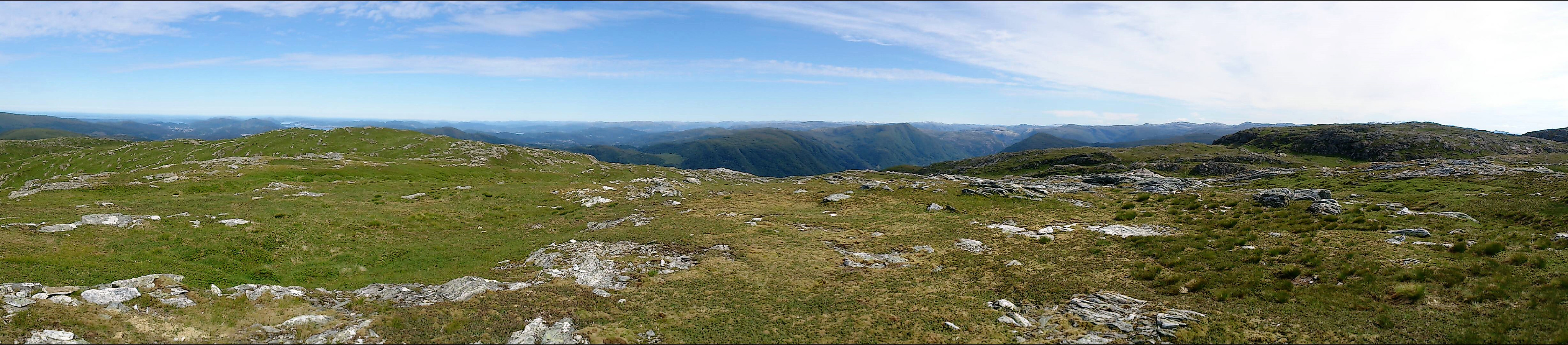
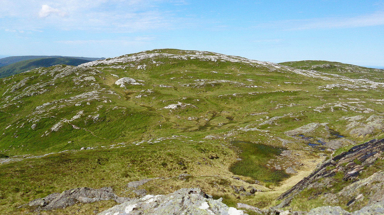
Vossavardane
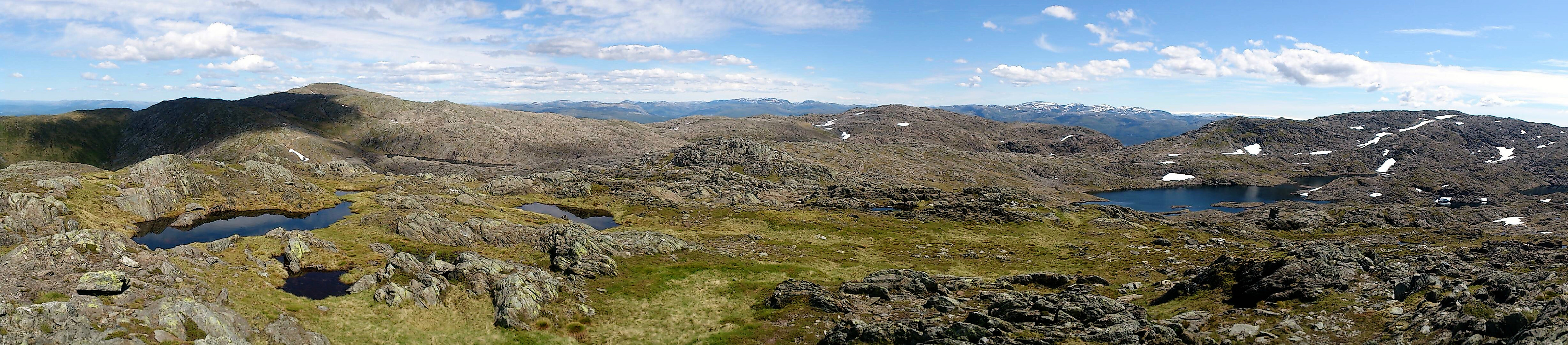
From the top of Litlagullfjellet I followed the same route back to reconnect with my friends by the lake and we then proceeded to Vossavardane. No clear trails to the summit that we could find, but the terrain was easy to navigate and we quickly arrived at the summit for a short break. The views were very nice here as well, but not at the same level as the previous summit.
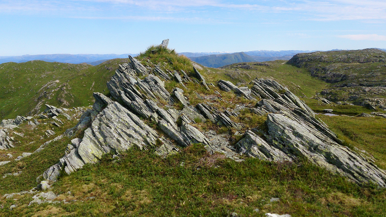
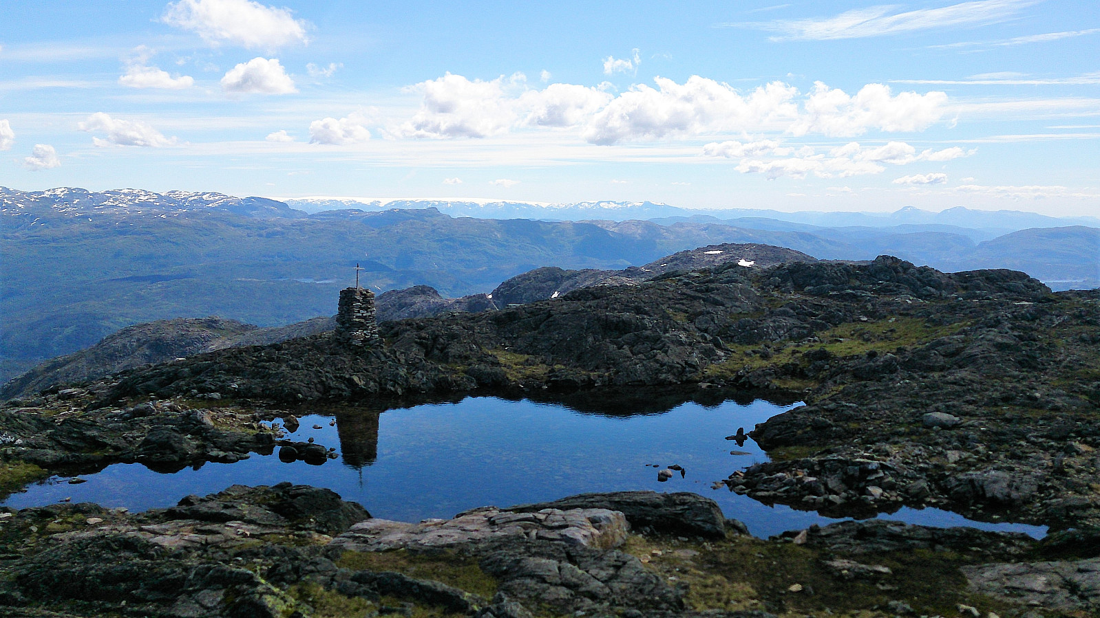
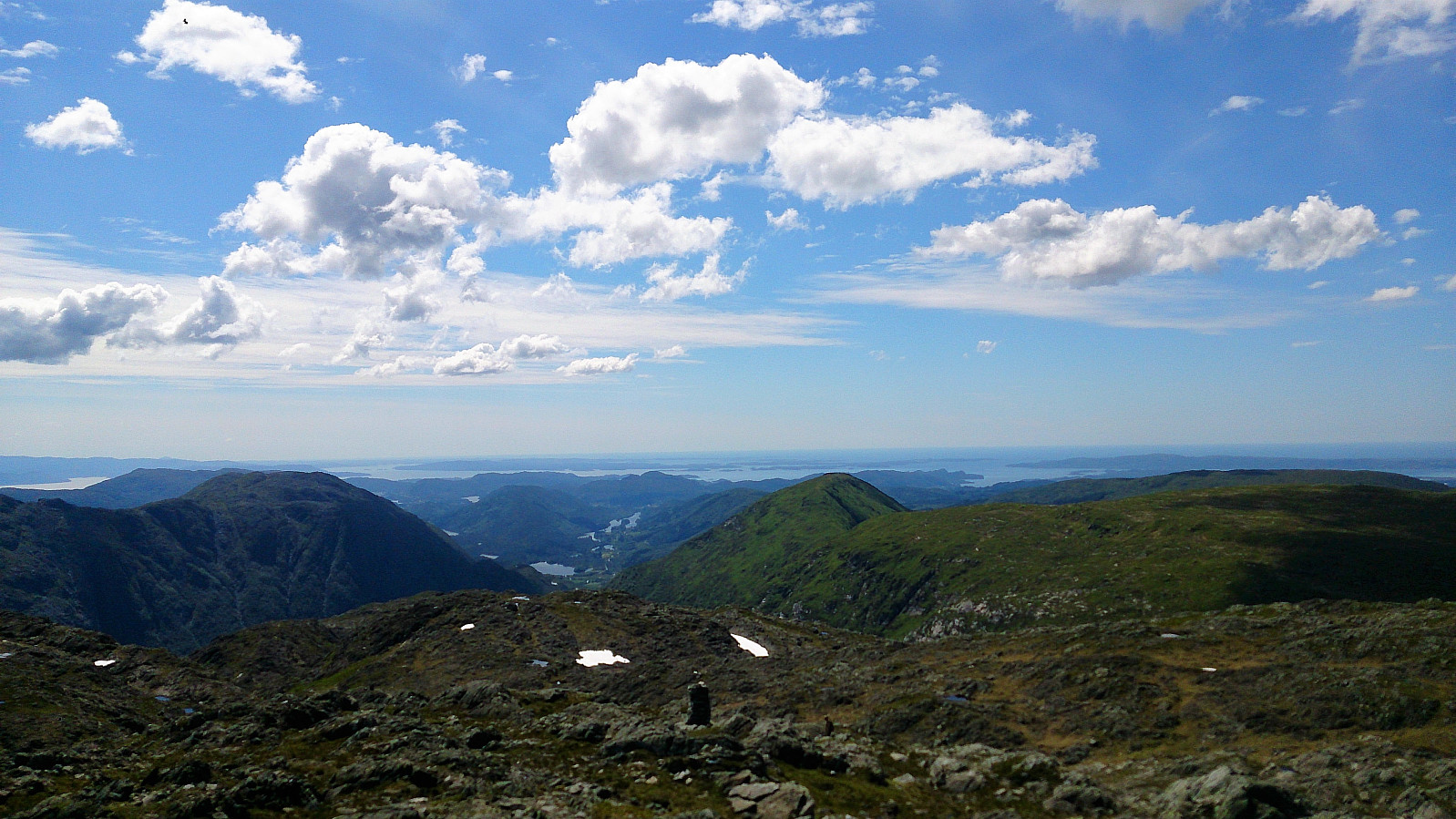
Gullfjelltoppen
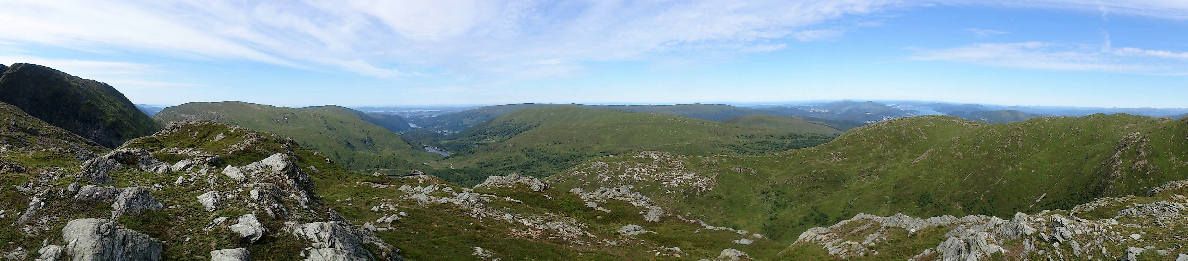
After leaving Vossavardane we relocated the trail towards Gullfjelltoppen, which we then followed along the ridge all the way to the summit. This route to Gullfjelltoppen can be highly recommended due to its spectacular scenery and the very nice views along the way.
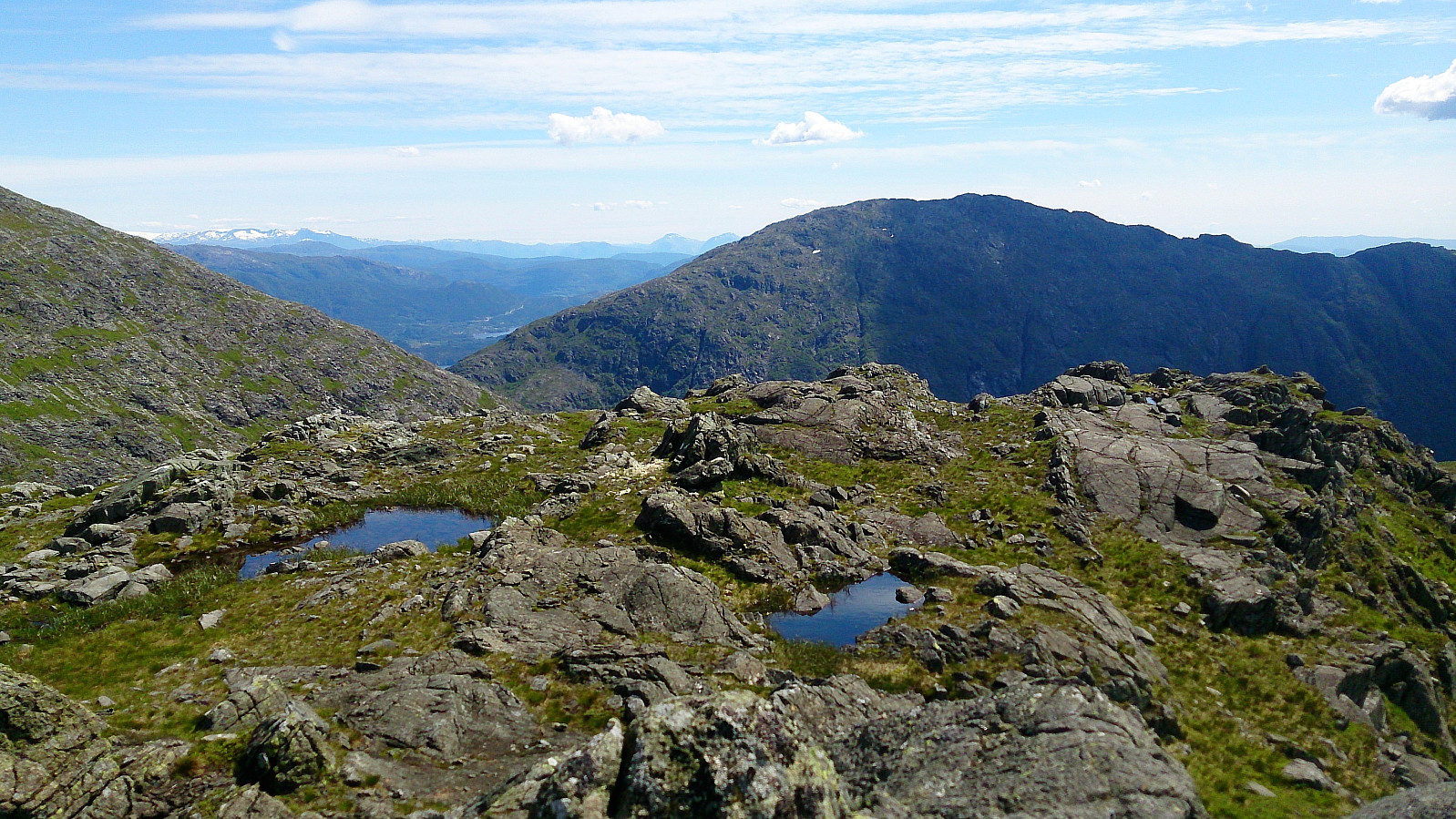
Gullfjellet
From Gullfjelltoppen we quickly moved on to the summit named Gullfjellet, mainly along the trails, but with a couple of shortcuts. Note that the summit itself is not on the trail, but only requires a very short detour. Very nice views here as well, as expected.
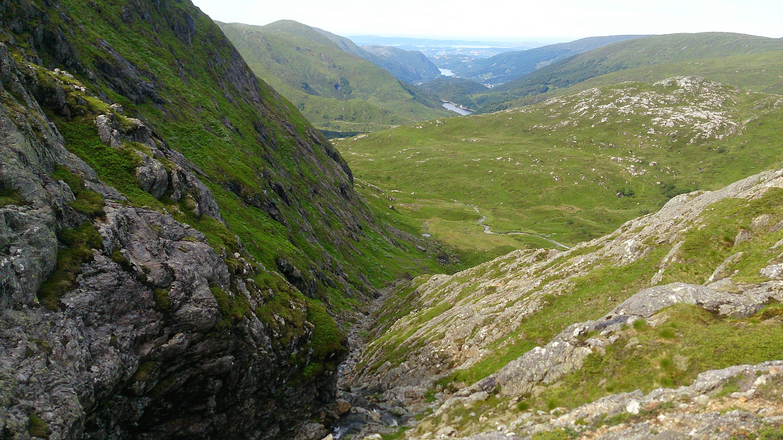
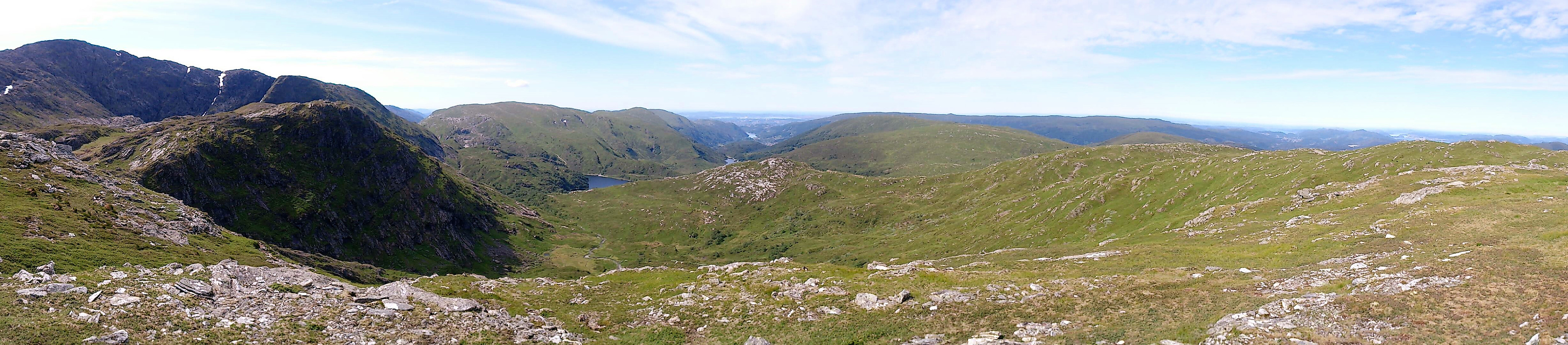
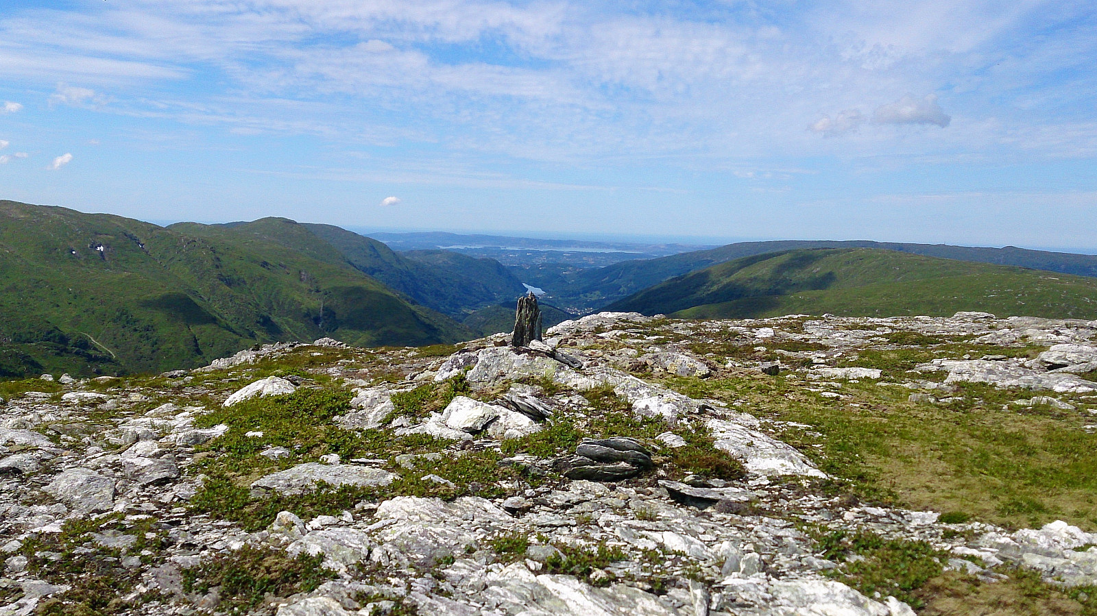
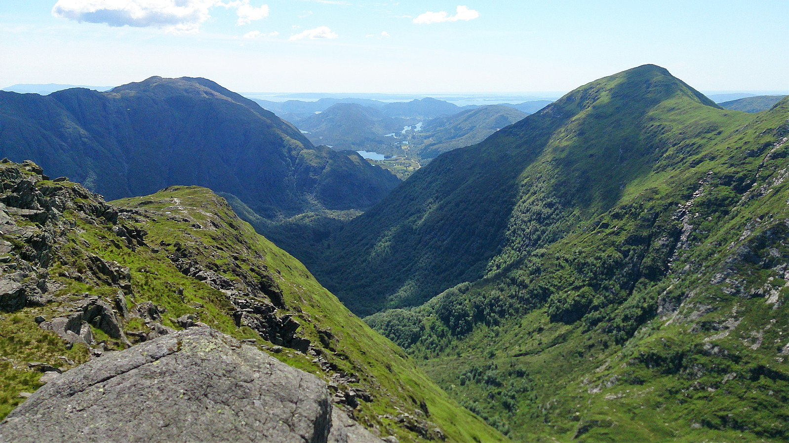
Toro
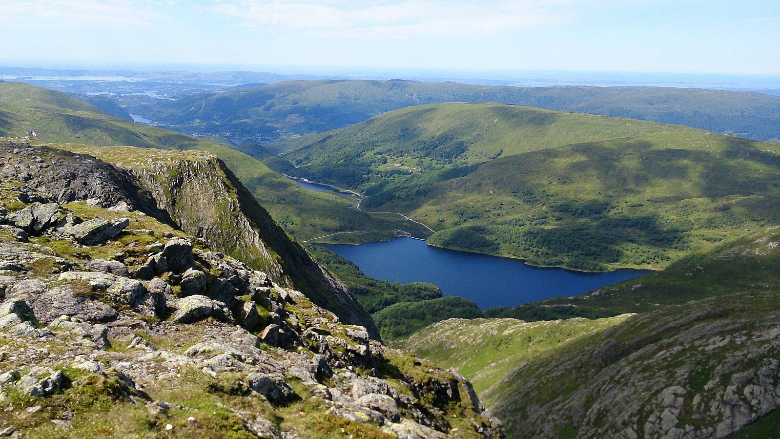
From Gullfjellet we followed the standard trail towards Redningshytten, almost until where it started turning north. Here we attempted a shortcut to Toro, but in the end I think it would have been easier to just follow the trail to the bottom of the valley and start the ascent from there. No proper trail to the summit that we could find, but getting there was straightforward. Very nice views, especially down into Hausdalen and towards Sveningen.
From Toro to Osavatnet
The hike was concluded by walking via Redningshytten back down to the parking lot at Osavatnet, following the standard trail/road.
Conclusion
A roundtrip that can be highly recommended! Spectacular views and very nice scenery, especially for the section from Svartavatnet to Gullfjelltoppen, plus the summit of Litlagullfjellet.


| Startzeitpunkt | 28.06.2017 08:49 (UTC+01:00 SZ) |
| Endzeitpunkt | 28.06.2017 16:11 (UTC+01:00 SZ) |
| Gesamtzeit | 7h 22min |
| Zeit in Bewegung | 5h 56min |
| Pausenzeit | 1h 25min |
| Gesamtschnitt | 2,5km/h |
| Bewegungsschnitt | 3,0km/h |
| Entfernung | 18,1km |
| Höhenmeter | 1.177m |


Benutzerkommentare