
Trengereidhotten (24.06.2017)

Written by hbar (Harald Barsnes)

| Start point | Gullbotn parkeringsplass (246m) |
|---|---|
| Endpoint | Gullbotn parkeringsplass (246m) |
| Characteristic | Hillwalk |
| Duration | 3h 06min |
| Distance | 8.8km |
| Vertical meters | 415m |
| GPS |
|
| Ascents | Trengereidhotten (577m) | 24.06.2017 13:35 |
|---|---|---|
| Visits of other PBEs | Gullbotn p-plass (244m) | 24.06.2017 13:35 |
Trengereidhotten
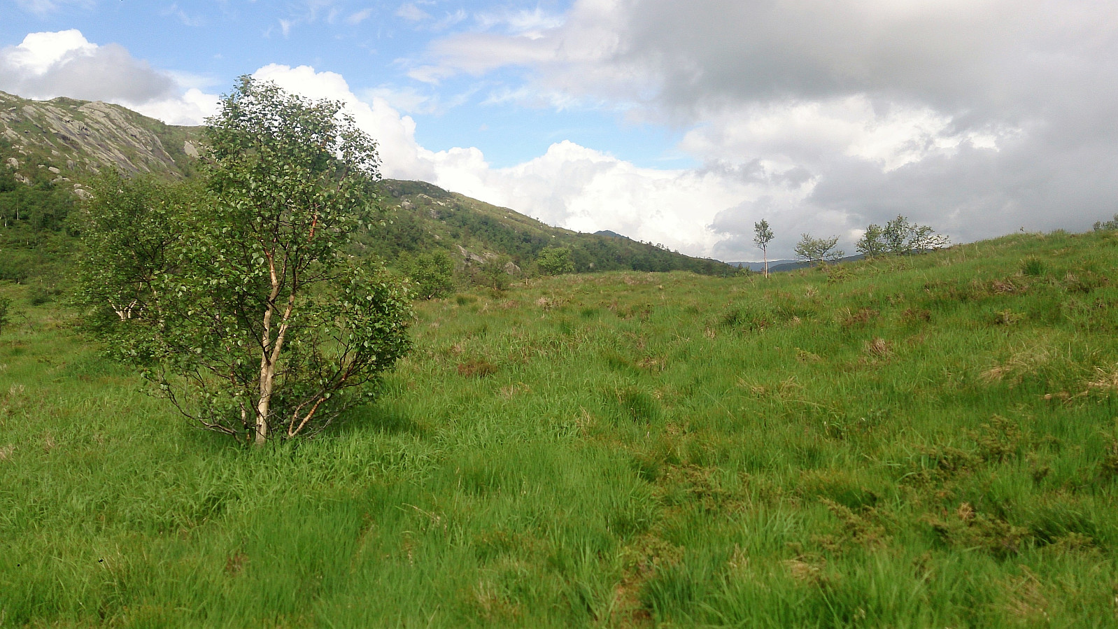
From the Gullbotn parking lot we followed the standard trail towards Gullfjellet, but before reaching the valley (that is also) called Gullbotn we started looking for a trail north towards Trengereidhotten. Such a trail was indicated on the map, but we failed to locate the trailhead. However, after a couple of minutes of walking a weak trail appeared.
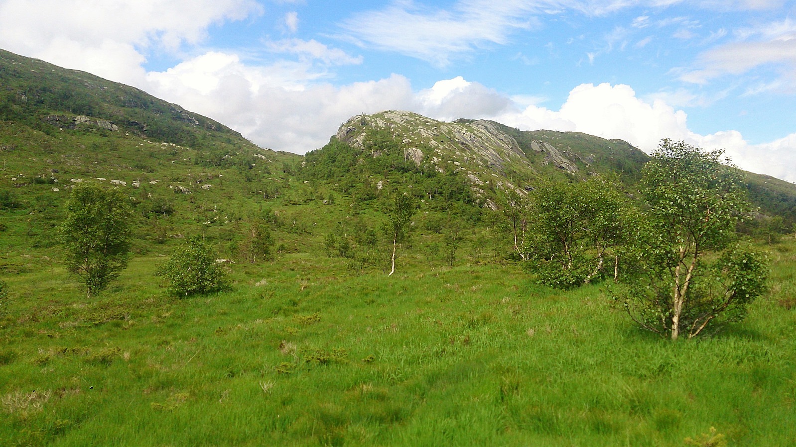
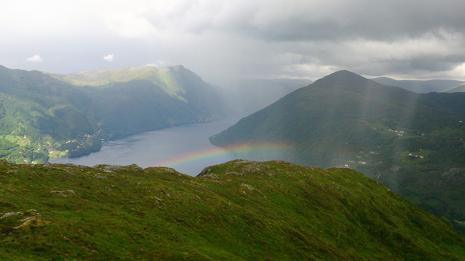
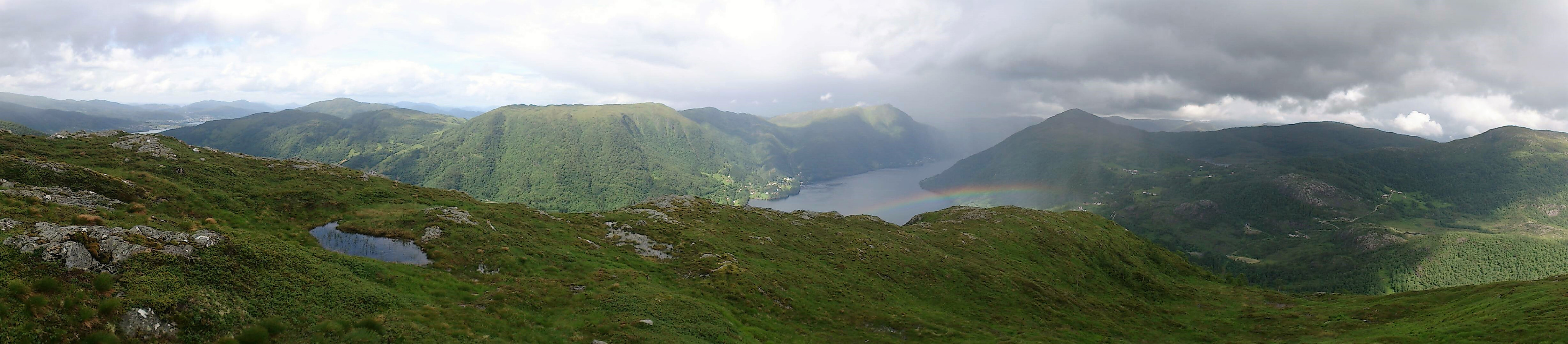
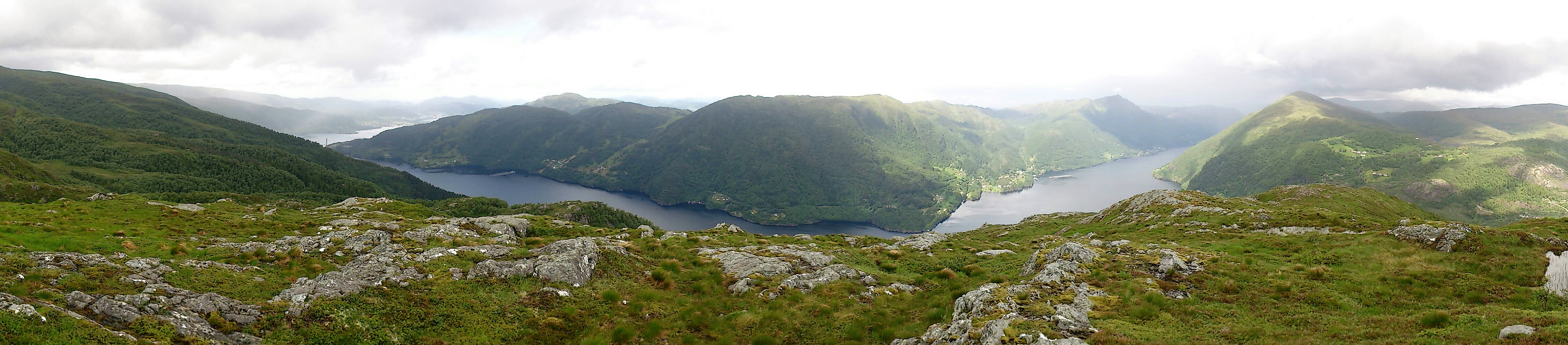
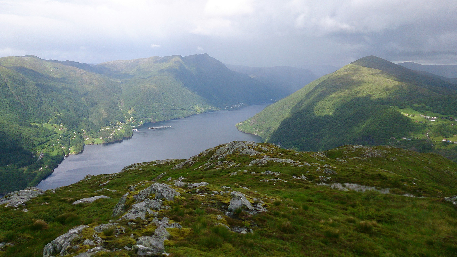
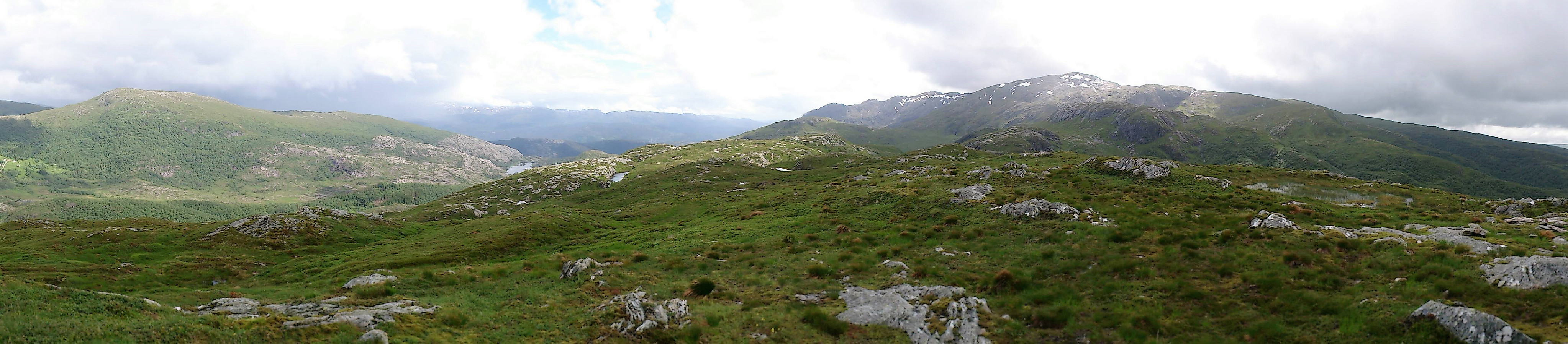
We then followed this trail, without too much difficulty, all the way to the summit, with the exception of a section close to the summit where we lost the trail for a short time. Calling it a trail is perhaps a bit of an exaggeration though, as it was quite weak at times, and most of it was also very wet. However, the surrounding scenery was very nice and the summit itself provided excellent views in all directions!
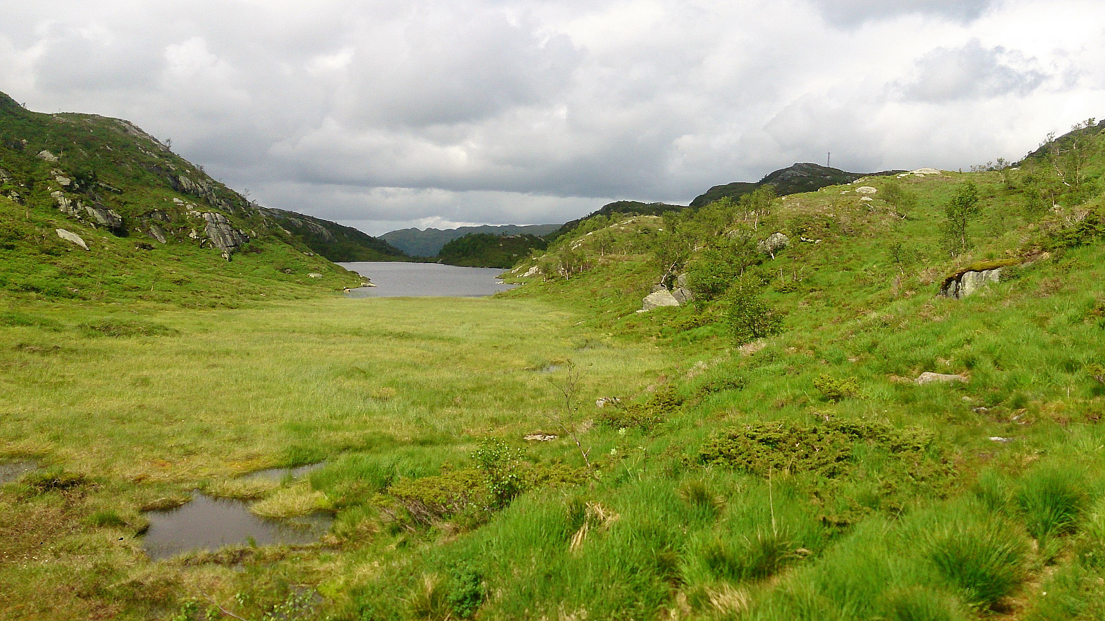
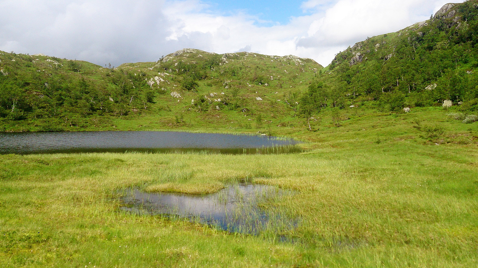
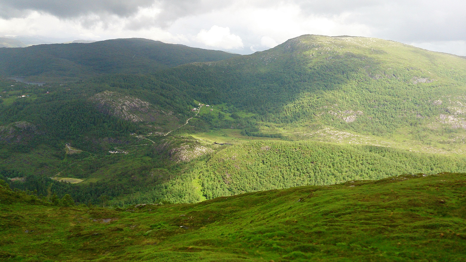
We followed a similar route on the descent, but tried a different trail when turning east towards the parking lot. This trail started out fine, but quickly turned very wet, and at times almost disappeared.
In the end we connected with the gravel road use for skiing, where we came across a sign stating that the trail we had now descended was the summer trail to Gullfjellet. It did not seem to be very heavily used though.
Overall, a nice hike that can be highly recommended due to the excellent views from the summit. Just be aware that the terrain will most likely be very wet and that the trails are quite weak at times.


| Start date | 24.06.2017 13:36 (UTC+01:00 DST) |
| End date | 24.06.2017 16:42 (UTC+01:00 DST) |
| Total Time | 3h 06min |
| Moving Time | 2h 51min |
| Stopped Time | 0h 15min |
| Overall Average | 2.8km/h |
| Moving Average | 3.1km/h |
| Distance | 8.8km |
| Vertical meters | 414m |


User comments