
Gaustadfjellet, Borefjellet and Øyjordsfjellet (16.06.2017)

Written by hbar (Harald Barsnes)

| Start point | Gaustad (70m) |
|---|---|
| Endpoint | Gaustad (45m) |
| Characteristic | Hillwalk |
| Duration | 4h 09min |
| Distance | 10.6km |
| Vertical meters | 701m |
| GPS |
|
| Ascents | Borefjell (227m) | 16.06.2017 |
|---|---|---|
| Gaustadfjellet (316m) | 16.06.2017 | |
| Øyjordsfjellet (243m) | 16.06.2017 |
Gaustadfjellet, Borefjellet and Øyjordsfjellet
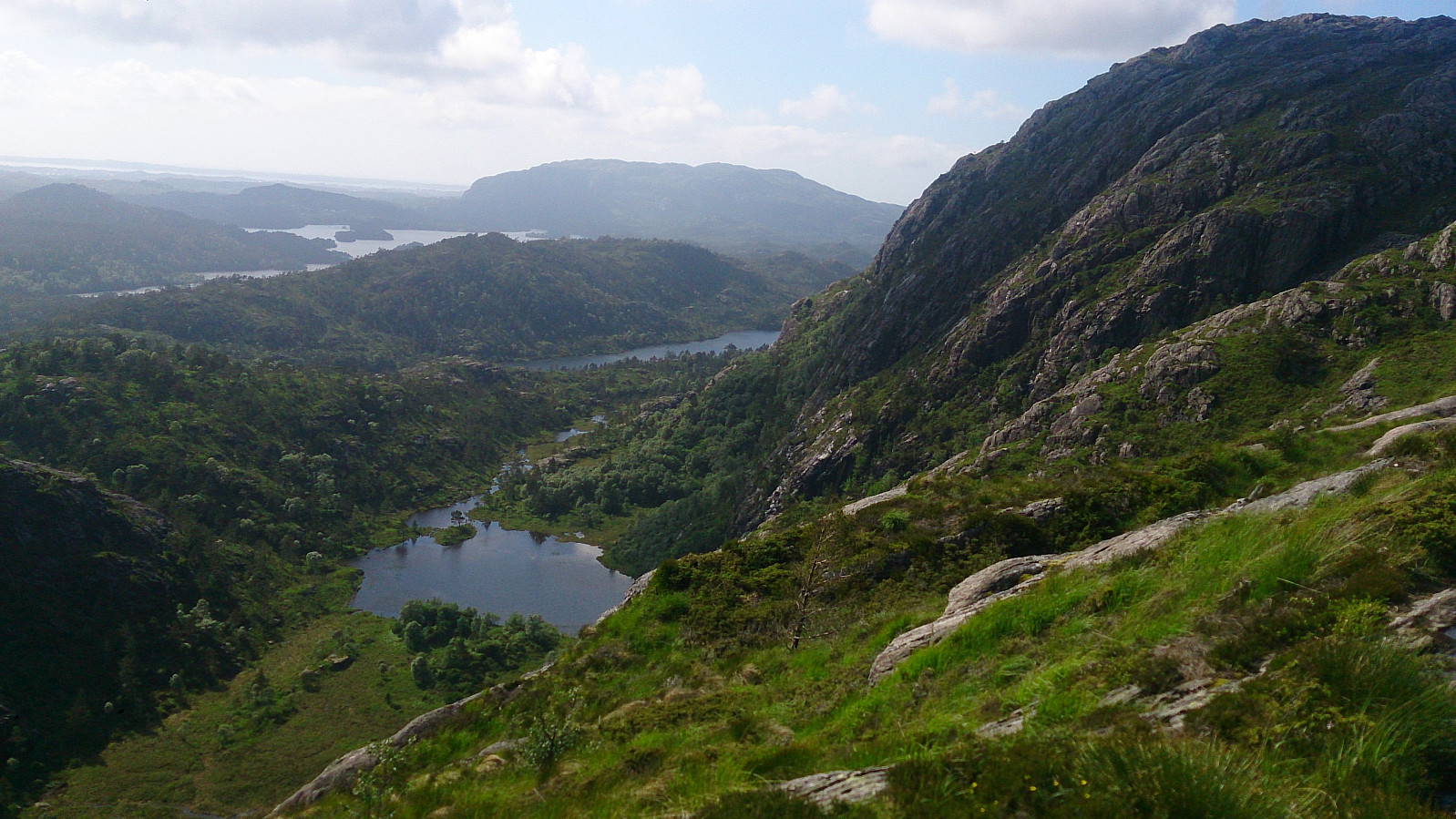
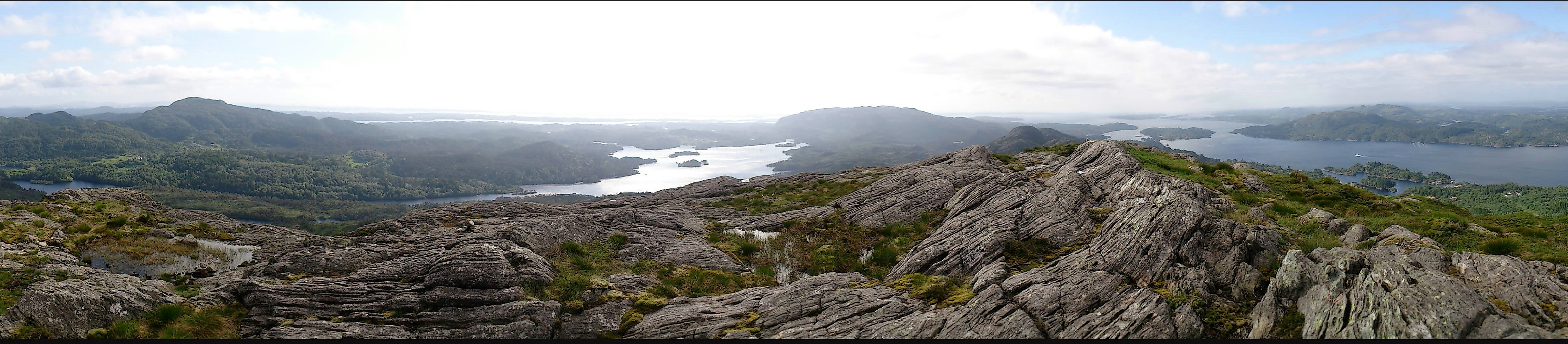
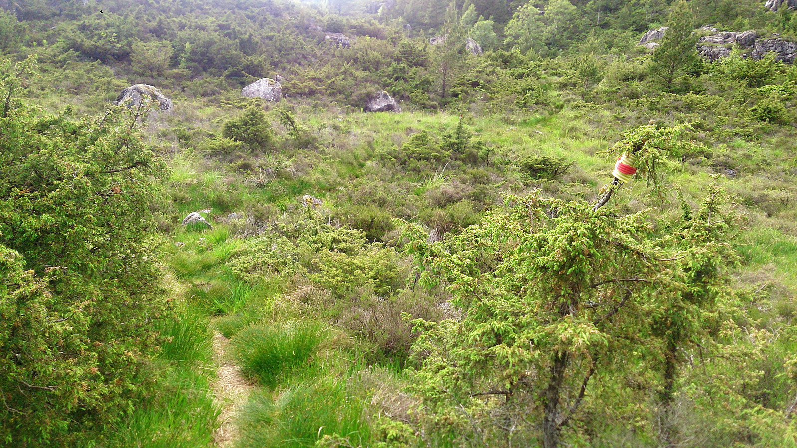
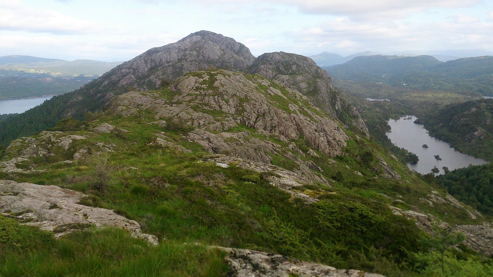
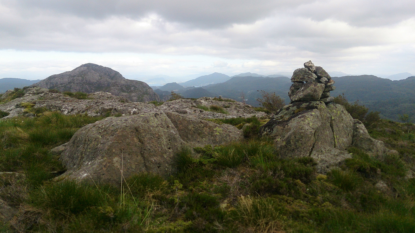
Started from the small parking lot at Gaustad and followed a tractor road and soon trail along the ridge to the top of Gaustadfjellet. The trail was easy to follow, but did contain some rather wet areas. The summit provided excellent views in all directions!
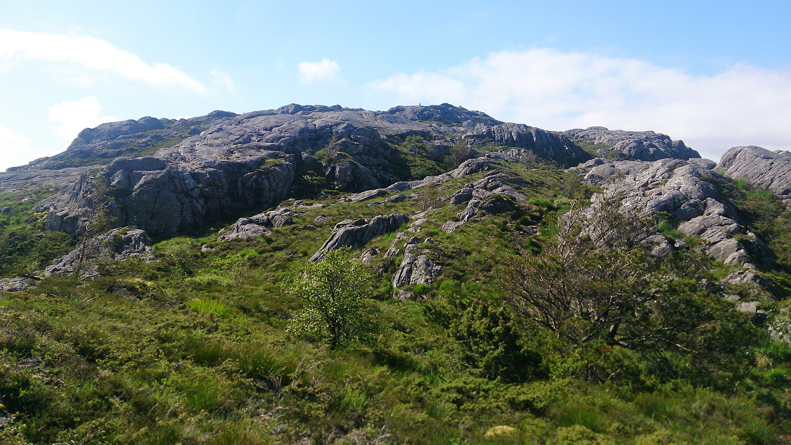
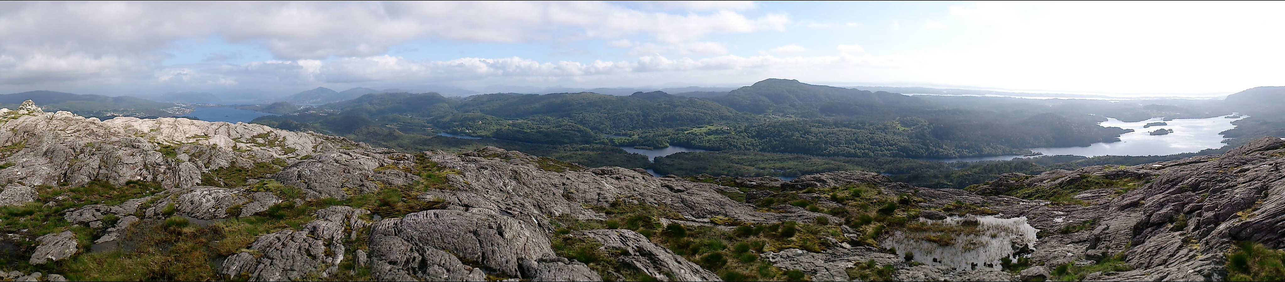
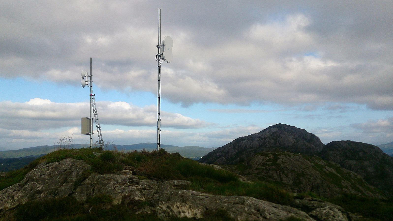
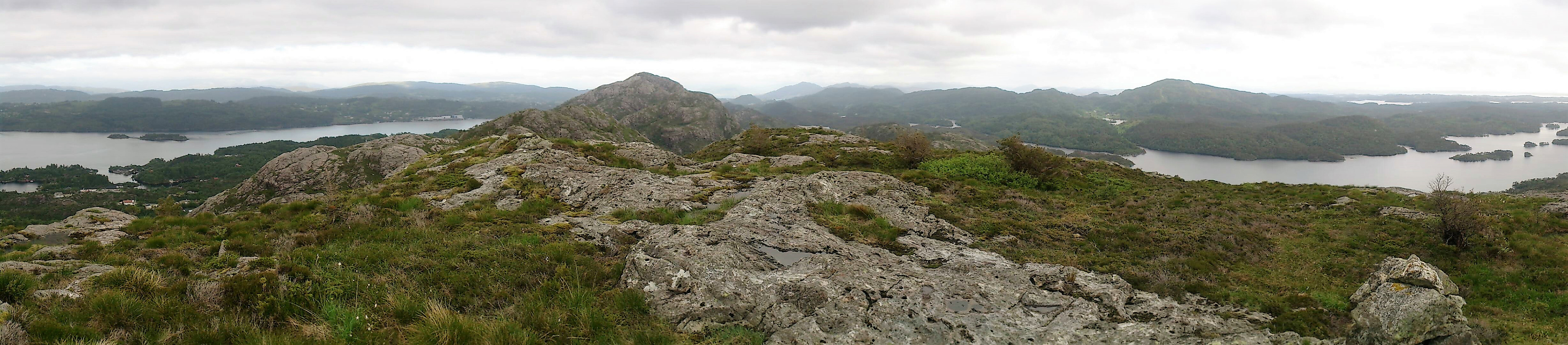
From the summit we followed the trail north down to Ådlandsvegen, which we then followed west to Ådland where we started the ascent towards Borefjell. First along a gravel road, and then on a nice but steep trail. The trail did continue all the way to the summit, despite the map indicating otherwise. Borefjell also provided great views.
The final goal of the day was Øyjordsfjellet, and as a direct move west was not possible due to the steep cliffs, we instead followed the trail northwest. It quickly became clear that this trail was not heading towards Øyjordsfjellet though, but rather down to Øyjordi. We therefore left the trail and started off-trail in the direction of the summit.
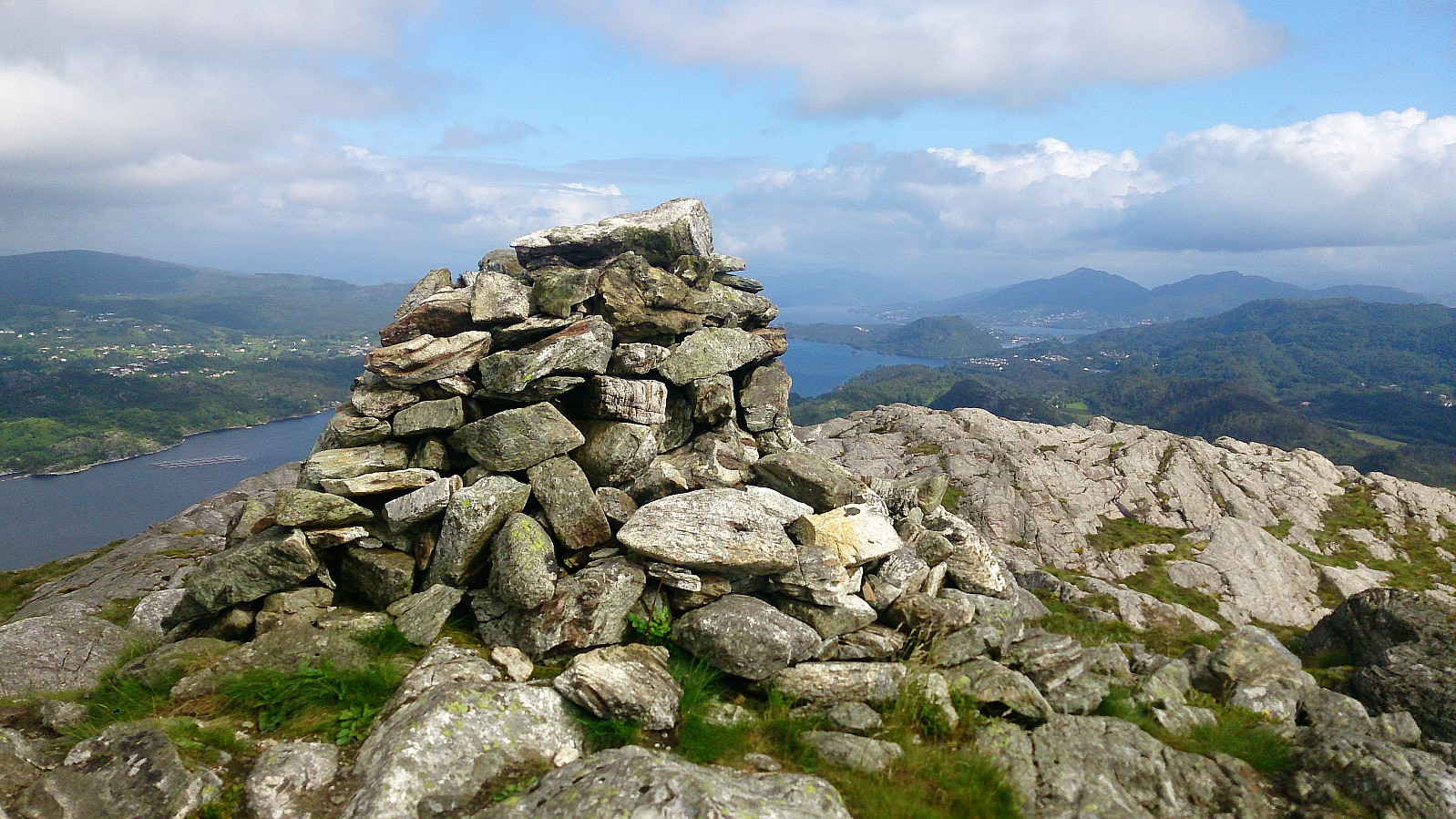
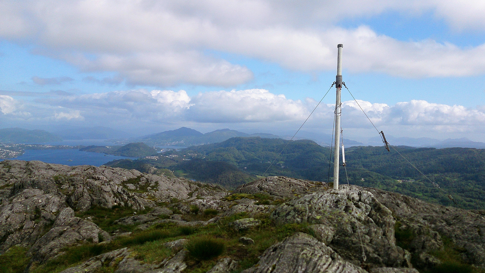
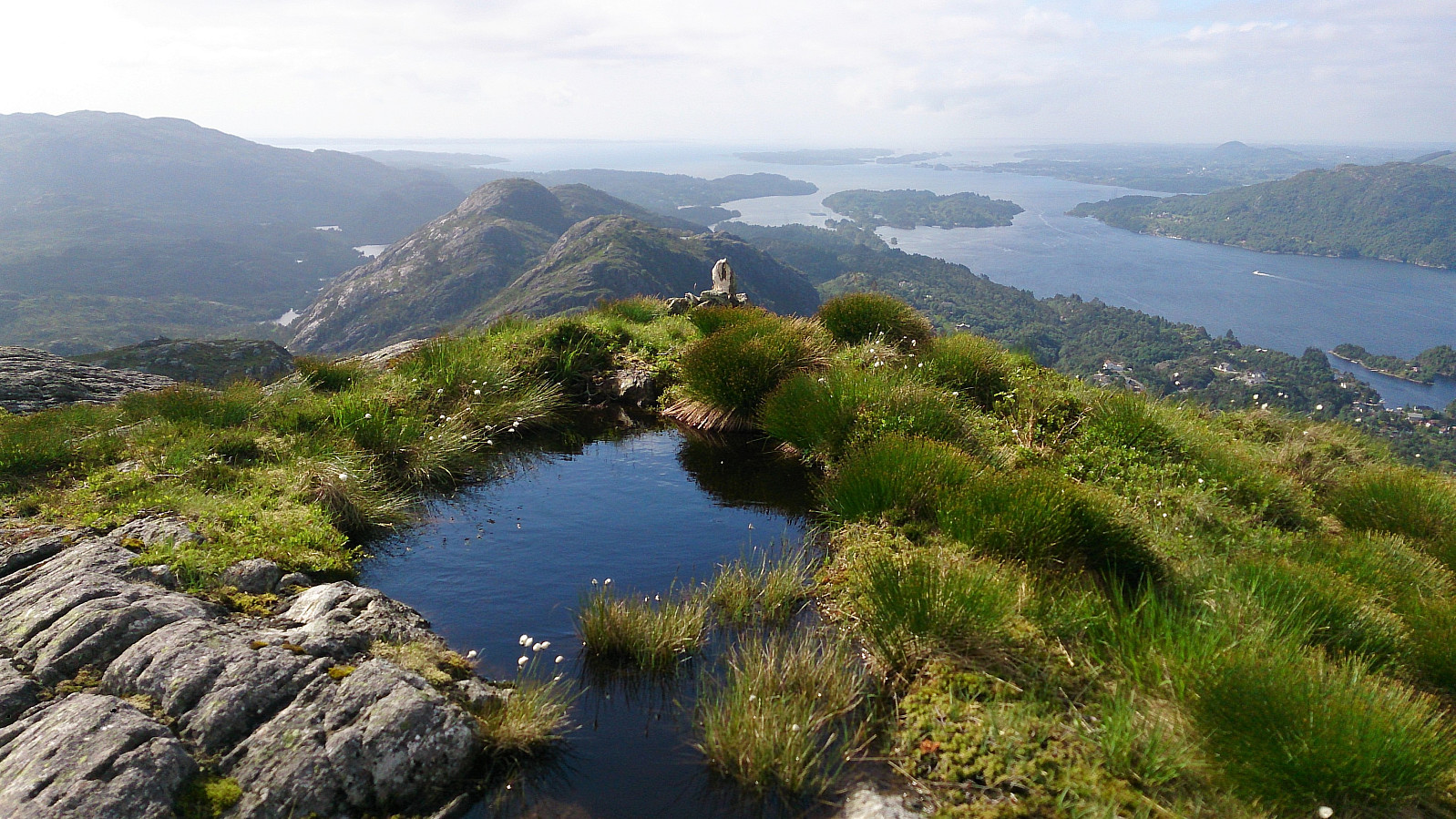
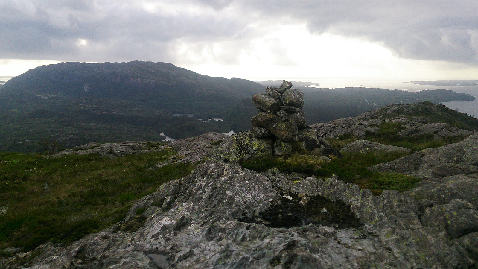
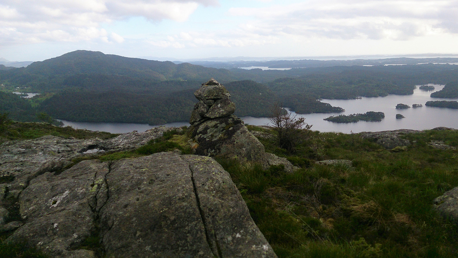
There was a trail going north-south in the valley between Borefjell and Øyjordsfjellet, but towards Øyjordsfjellet we could only find some very weak tracks. In the end a bit of light climbing was required to reach the summit, which contained very similar views as the two previously visited summits.
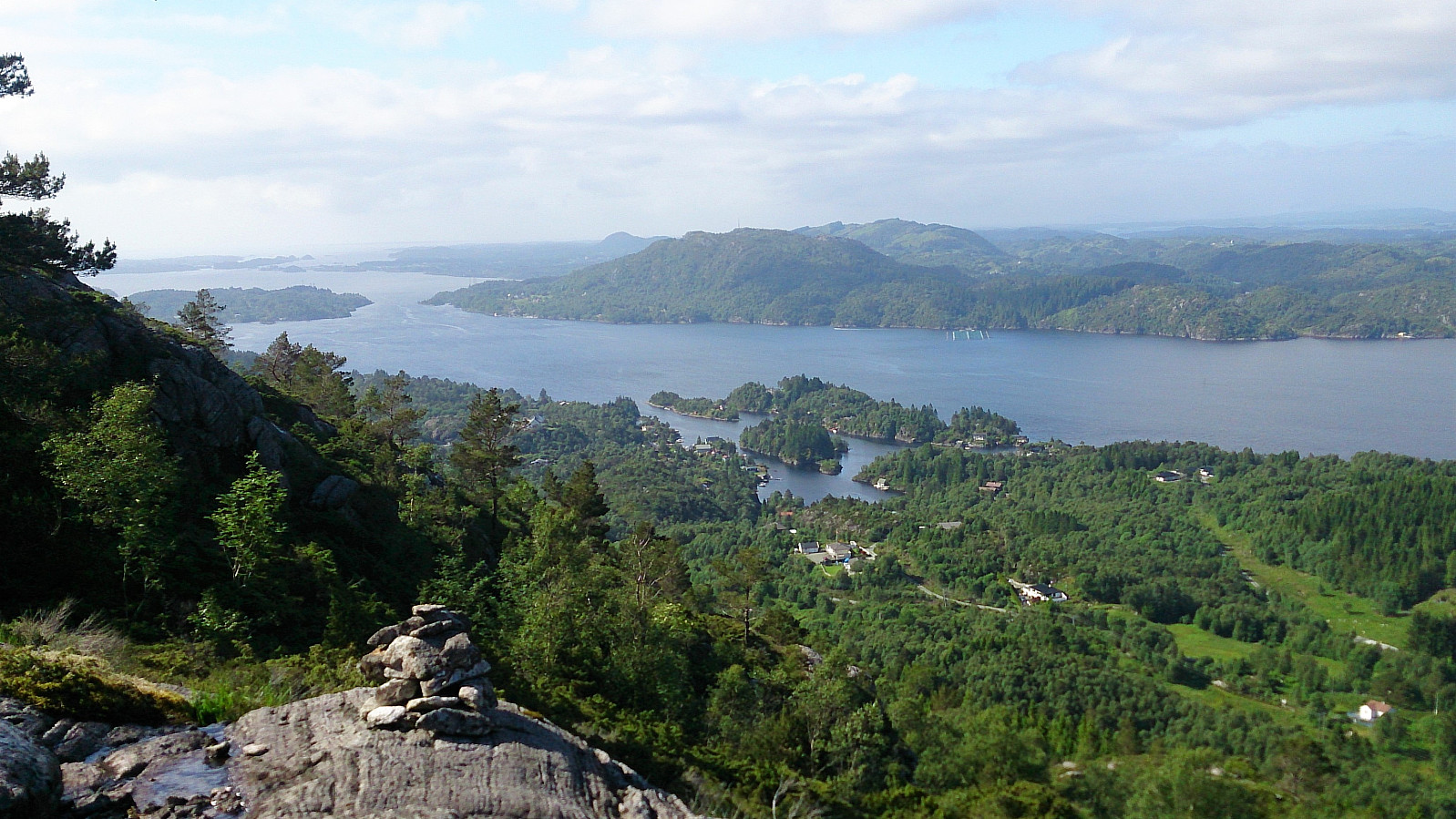
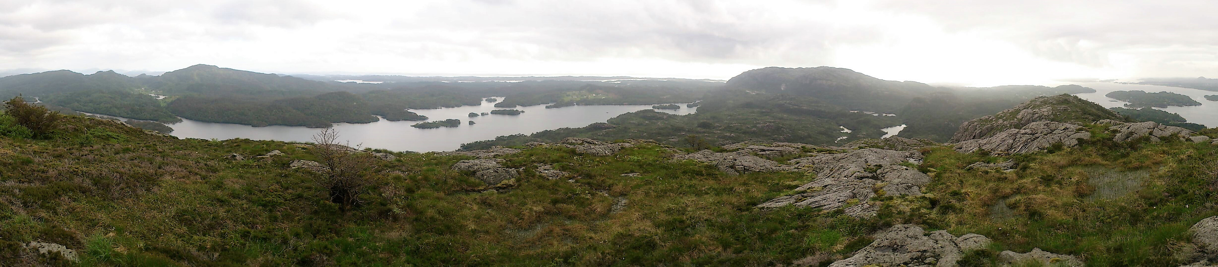
The final challenge of the day was to find a better way down from Øyjordsfjellet. We started northwest across the summit, aiming for Mjåvatnet. No trails in this direction that we could find, but we quickly arrived at the lake without much difficulty. Here we soon connected with the trail coming down from Borefjell, which we then followed down to Ådlandsvegen for the walk back to Gaustad.
Overall, a highly recommended hike with excellent views in all directions, especially given the relatively low altitude of the summits. However, I expect there are easier ways to reach the summit of Øyjordsfjellet than the one used.
| Start date | 16.06.2017 15:50 (UTC+01:00 DST) |
| End date | 16.06.2017 19:59 (UTC+01:00 DST) |
| Total Time | 4h 09min |
| Moving Time | 3h 52min |
| Stopped Time | 0h 16min |
| Overall Average | 2.5km/h |
| Moving Average | 2.7km/h |
| Distance | 10.6km |
| Vertical meters | 701m |
Note: Due to GPS issues the first couple of minutes of the hike are missing from the above track.


User comments