
Kolhusfjellet and Haggardsrinden (14.06.2017)

Skrevet av hbar (Harald Barsnes)

| Startsted | Øvre Totland (256moh) |
|---|---|
| Sluttsted | Myrdalsvatnet (82moh) |
| Turtype | Fjelltur |
| Turlengde | 2t 23min |
| Distanse | 5,7km |
| Høydemeter | 269m |
| GPS |
|
| Bestigninger | Haggardsrinden (310moh) | 14.06.2017 |
|---|---|---|
| Kolhusfjellet (353moh) | 14.06.2017 | |
| Andre besøkte PBE'er | Kolhusfjellet utsiktspunkt (351moh) | 14.06.2017 |
| Øvre Totland parkering (280moh) | 14.06.2017 |
Kolhusfjellet and Haggardsrinden
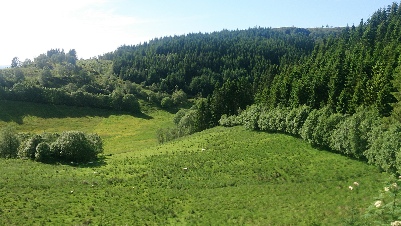
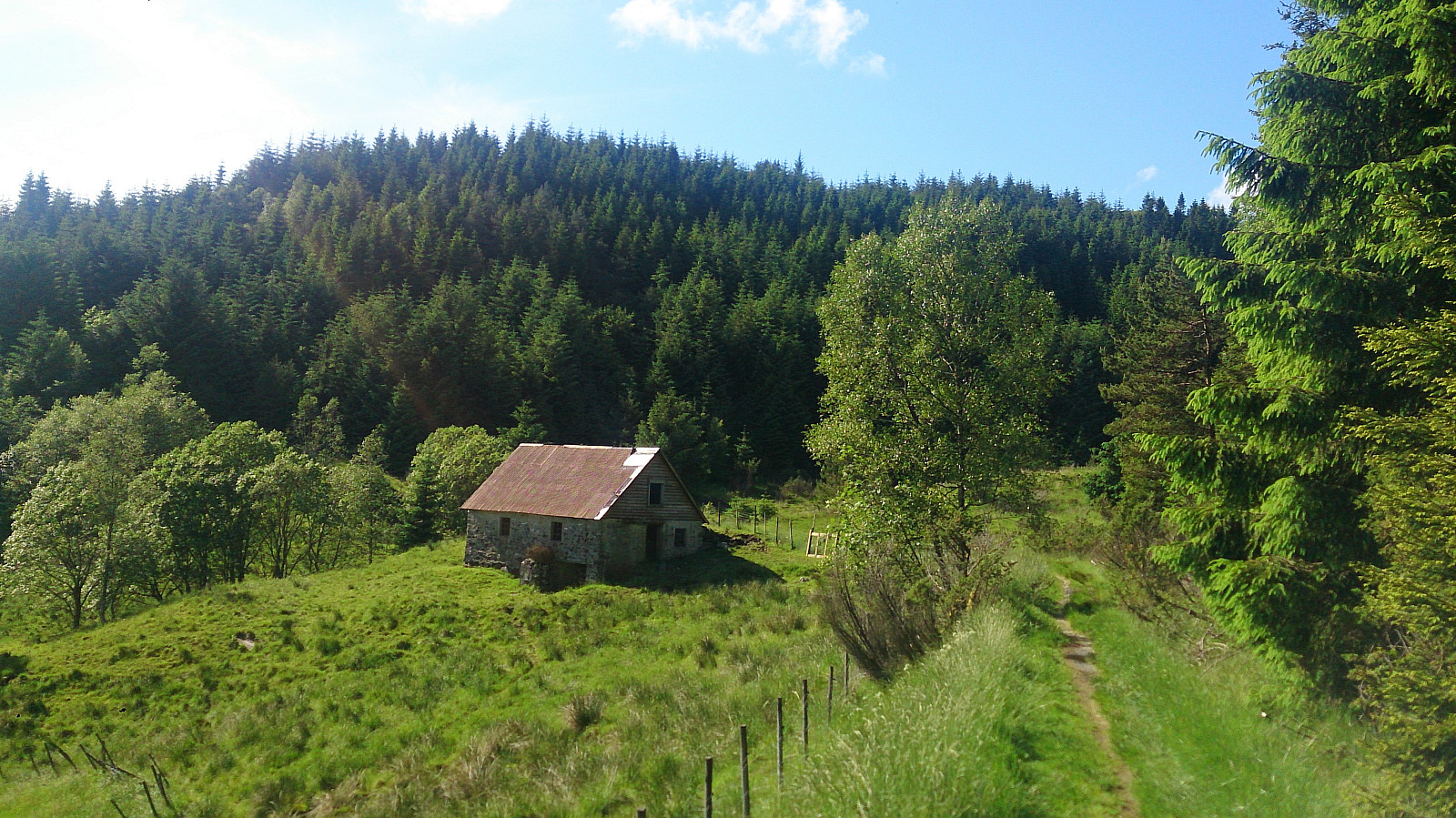
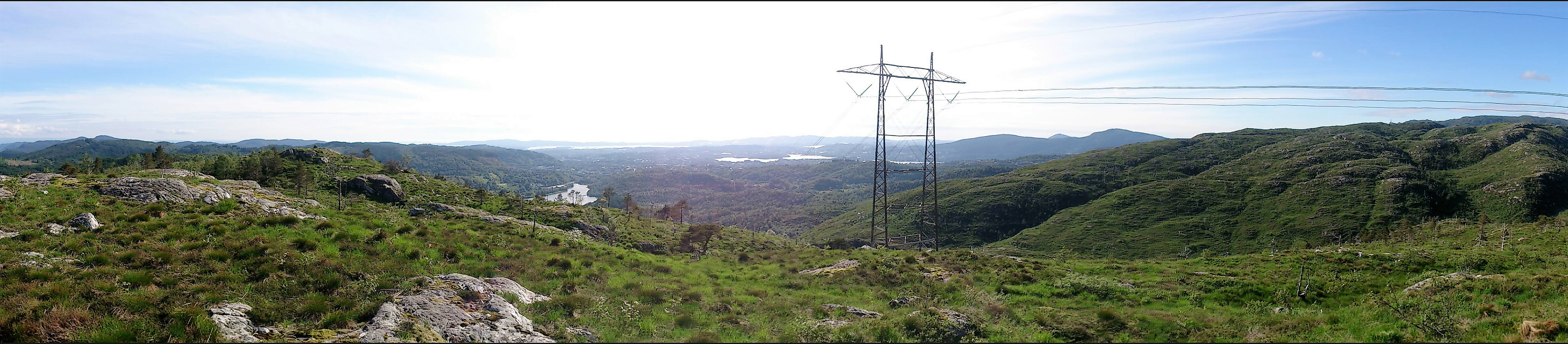
Started by taking the bus to Øvre Totland and walking up to the nearby parking lot. The first goal of the day was Kolhusfjellet, so I followed the trail northwest to the small barn indicated on the map. There I continued north up the valley, first on a trail and soon along much weaker, most likely, deer tracks. At the first opening I turned west and headed for the summit. This initially required a bit of very light climbing, but the terrain soon turned into more of a plateau and from there it was straightforward to reach the summit.
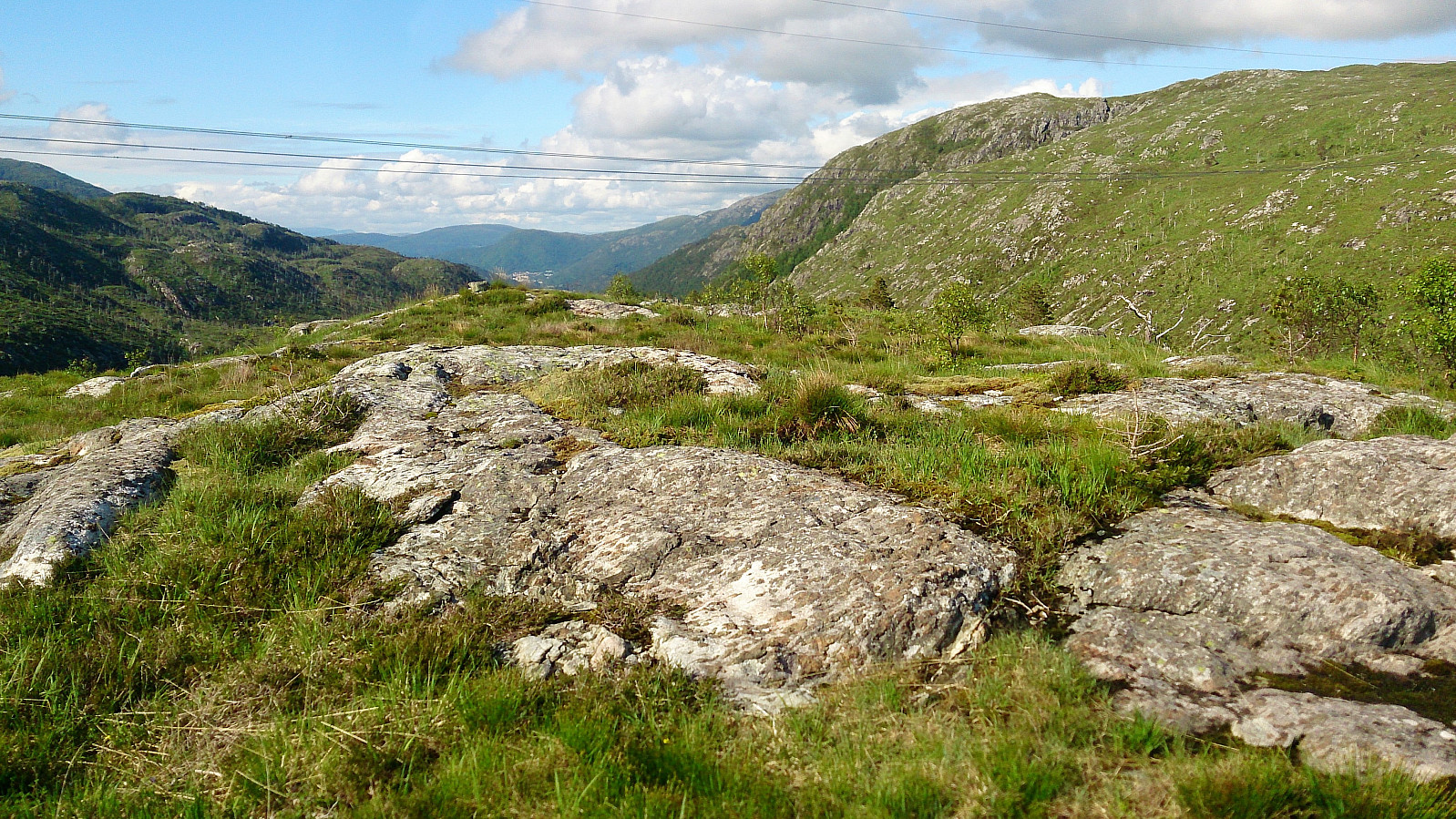
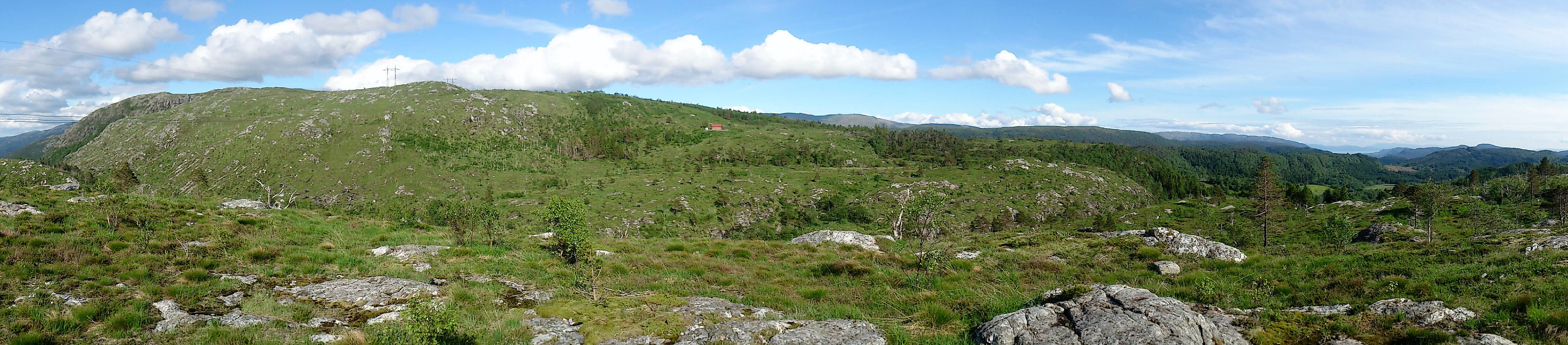
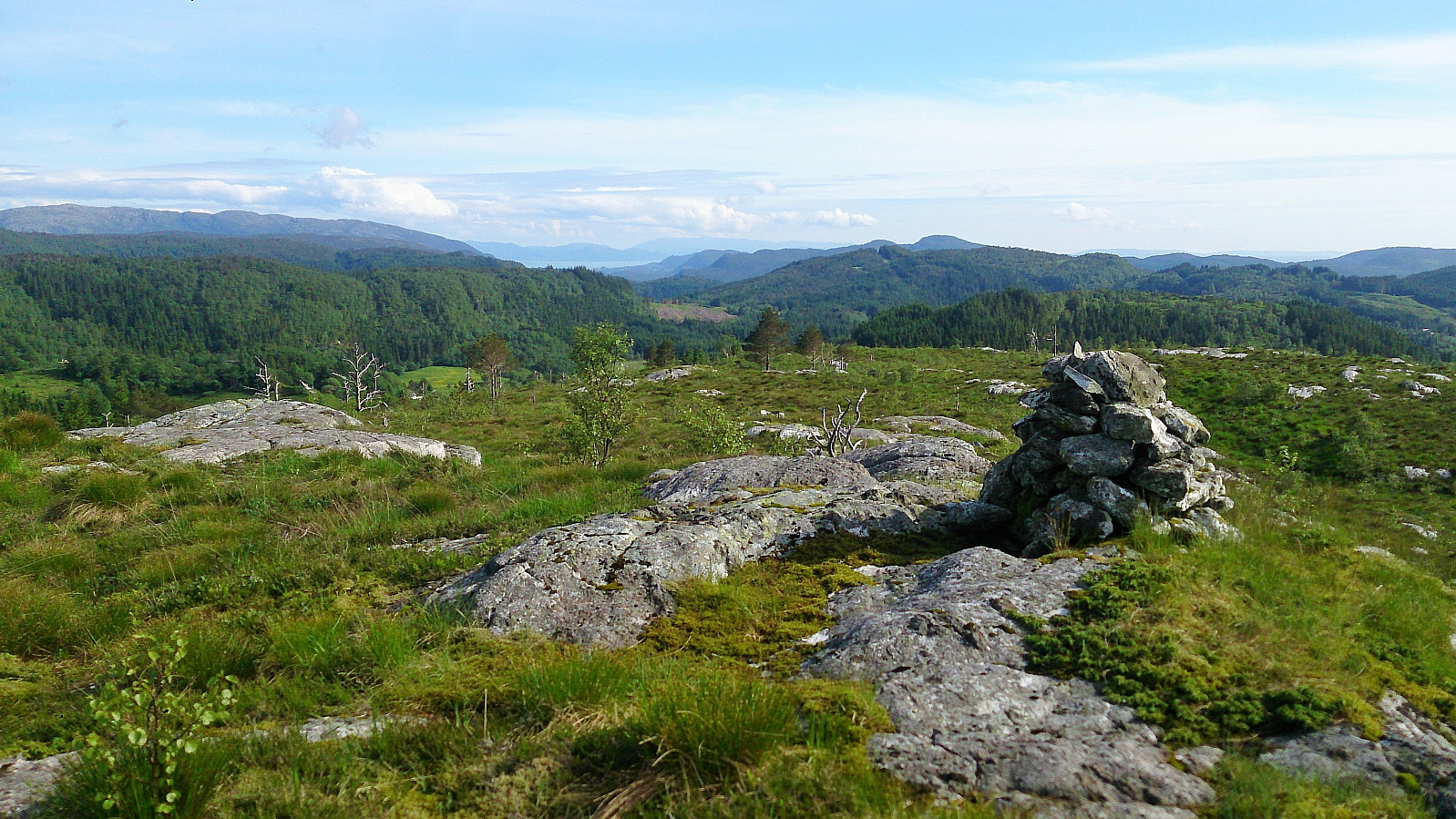
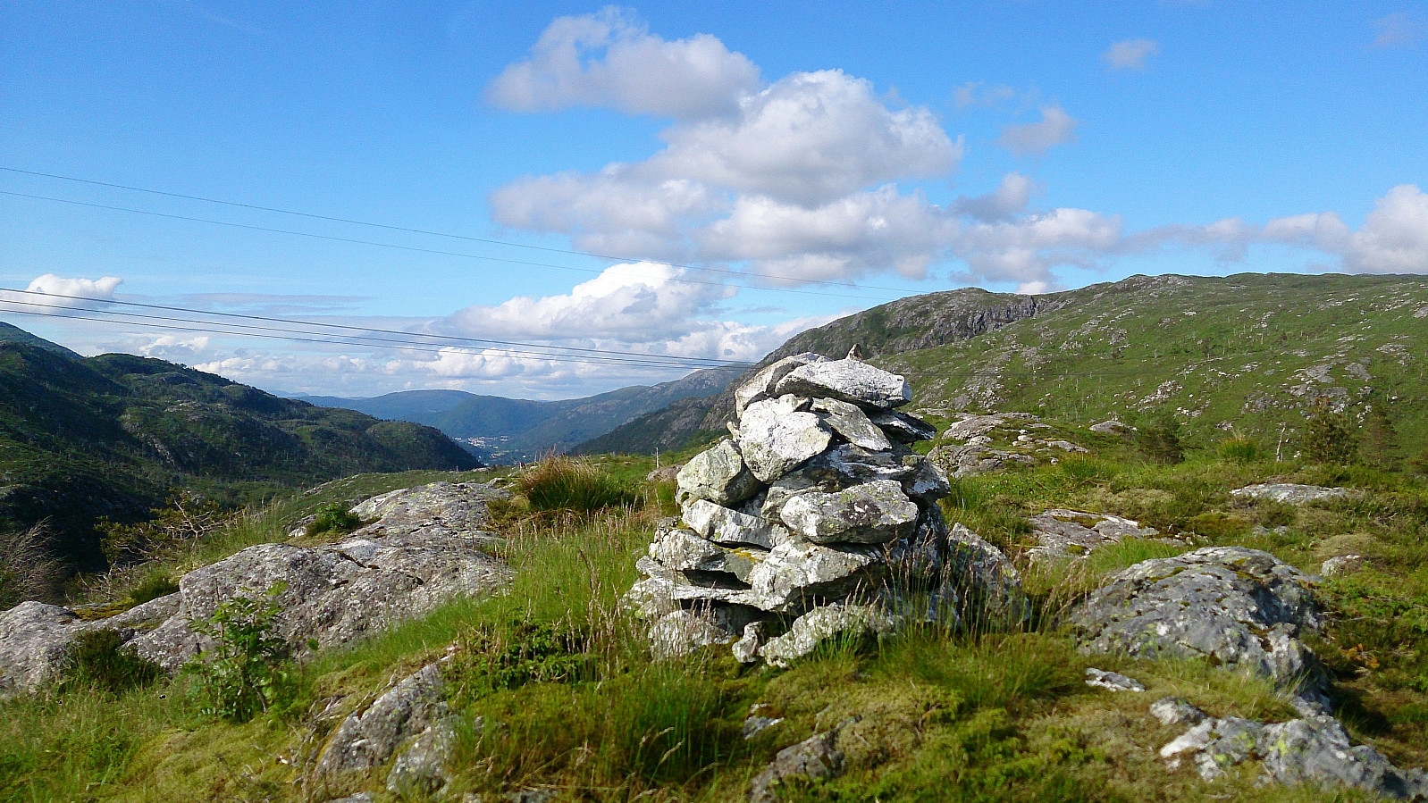
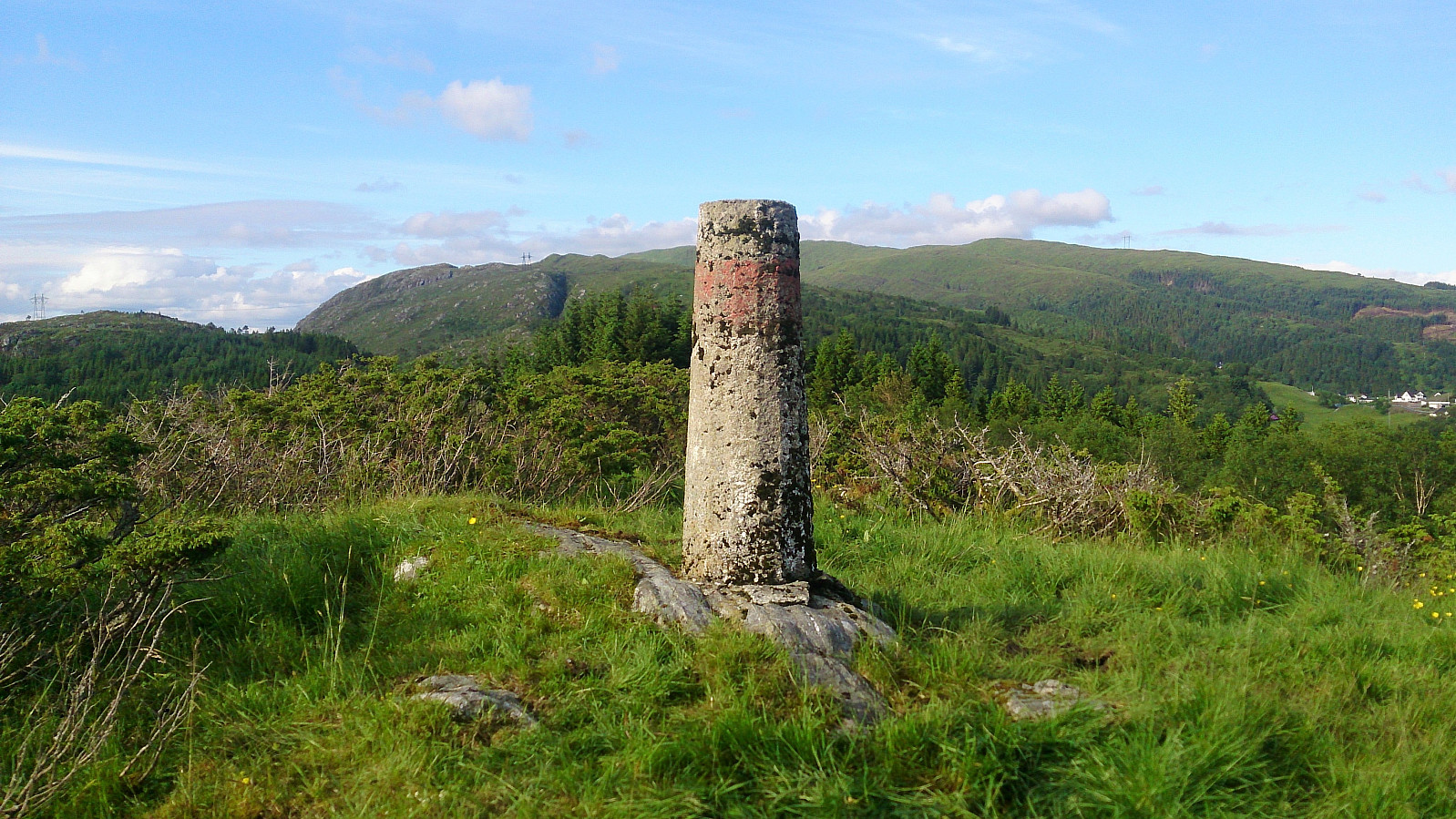
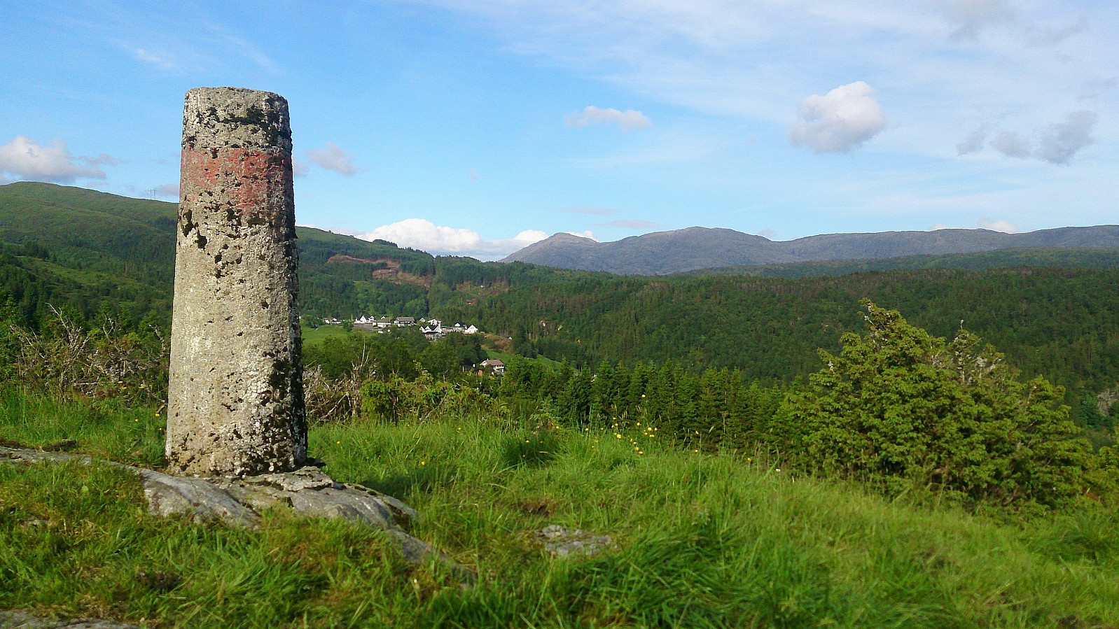
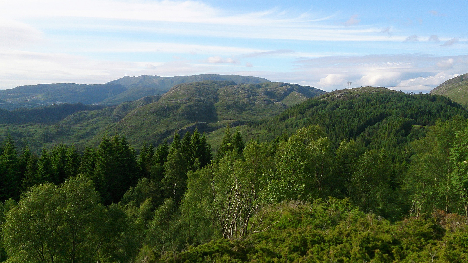
Kolhusfjellet provided very nice views in all directions, but I did not stay long as the summit was also full of flies. So many that it actually was difficult to take any pictures without at least one of them being caught on camera! I tried moving south to the smaller hill containing the cairn, but most the flies came along. They did not disappear (or at least significantly diminish in quantity) until I reached the tractor road south of Kolhusfjellet.
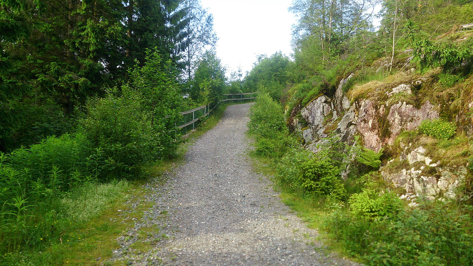
Next I followed the tractor road southeast until locating a gate, and what I thought was a trail, heading south. The trail quickly disappeared though, and I ended up in a field trying to not disturb the grazing horses and sheep. In the end, I think it would have been better to go back to the parking lot where I started and rather follow the proper trails from there.
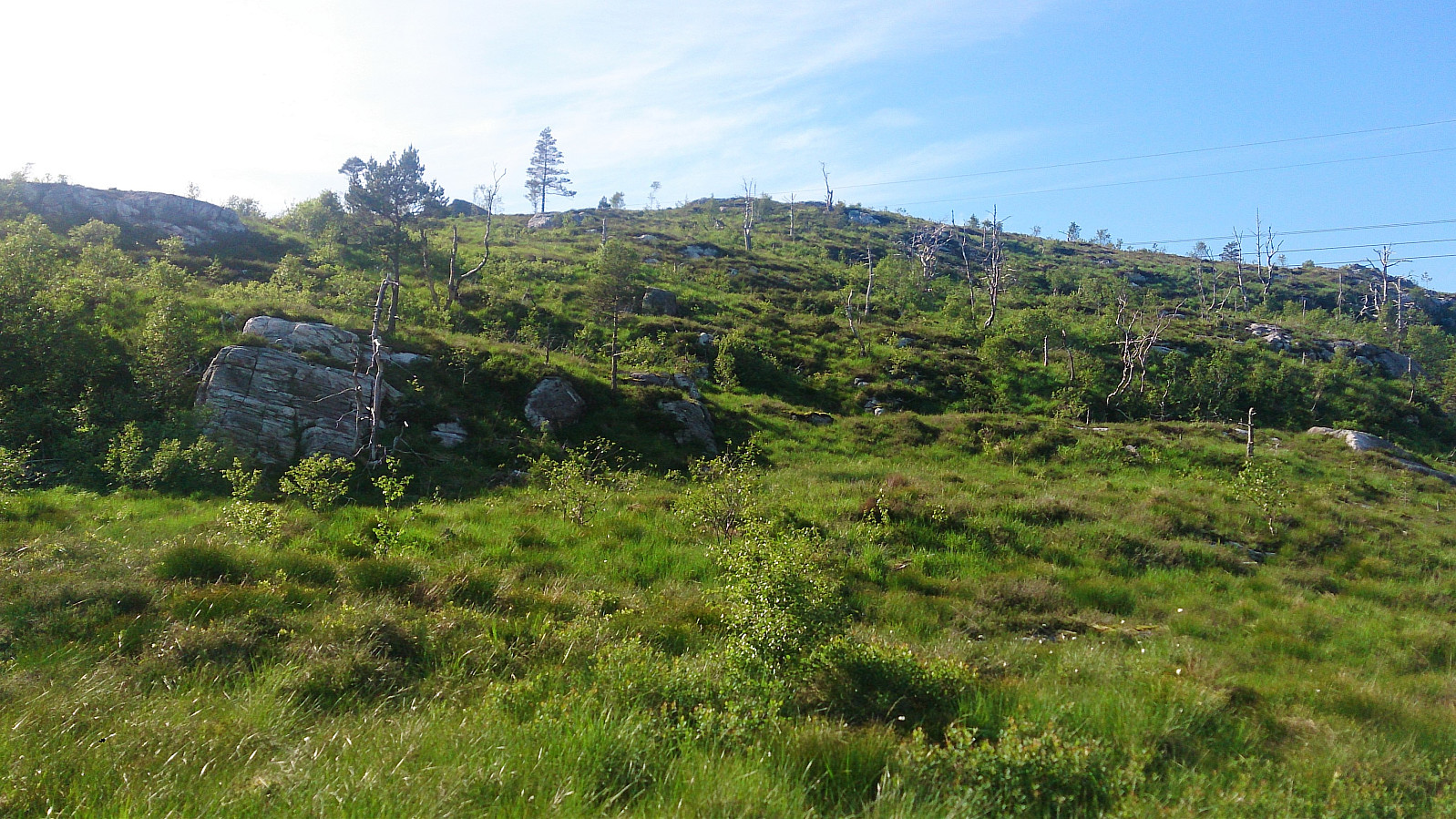
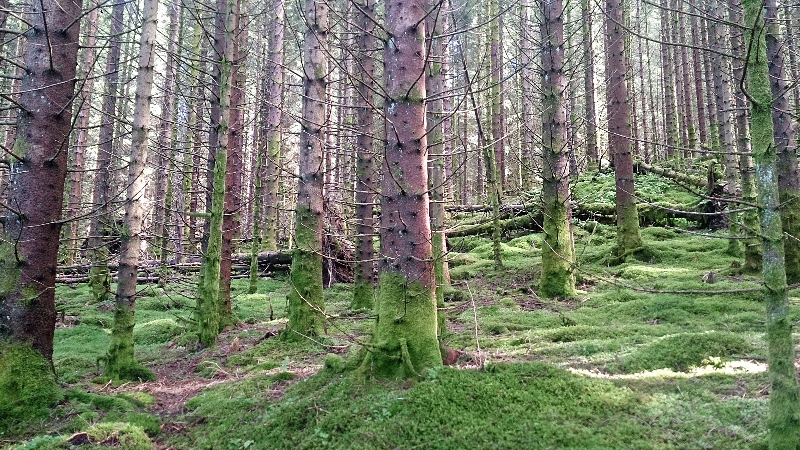
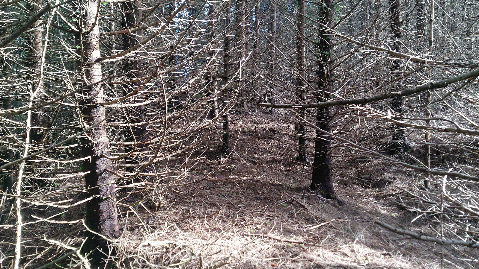
But in the end I made it down to the gravel road that comes up from Myrdalsvatnet, and it was time for the second goal of the day: Haggardsrinden. I could not locate any proper trails, so I simply started off in the direction of the summit, intending to follow the ridge. The spruce forest quickly turned quite dense, but if careful I managed find a path through it without too much trouble. Towards the summit the forest opened up and I could enjoy some very nice views.
From the summit of Haggardsrinden I followed more or less the same route back to the gravel road, which I then followed all the way down to Myrdalsvatnet. The plan was to continue to Ulsmåg and take the bus from there, but upon reaching Myrdalsvatnet I was lucky enough to meet a colleague of mine that offered to drive me to Nesttun. An offer I happily accepted as the original plan would have included quite a lot of waiting at the bus stop at Ulsmåg (as the buses were only passing by once per hour).
All in all, an enjoyable hike, with the exception of the countless flies and the short section through the dense spruce forest. On the plus side, the views from both summits were a lot nicer than expected.
| Starttidspunkt | 14.06.2017 17:23 (UTC+01:00 ST) |
| Sluttidspunkt | 14.06.2017 19:47 (UTC+01:00 ST) |
| Totaltid | 2t 23min |
| Bevegelsestid | 2t 01min |
| Pausetid | 0t 22min |
| Snittfart totalt | 2,4km/t |
| Snittfart bevegelsestid | 2,8km/t |
| Distanse | 5,7km |
| Høydemeter | 268m |


Kommentarer