
Smøråskletten - from Valle to Lagunen (12.06.2017)

Geschrieben von hbar (Harald Barsnes)

| Startpunkt | Valle (150m) |
|---|---|
| Endpunkt | Lagunen (35m) |
| Tourcharakter | Wanderung |
| Tourlänge | 1h 33min |
| Entfernung | 5,9km |
| Höhenmeter | 183m |
| GPS |
|
| Besteigungen | Smøråskletten (240m) | 12.06.2017 |
|---|---|---|
| Besuche anderer PBE | Vallestolen (252m) | 12.06.2017 |
Smøråskletten - from Valle to Lagunen
Short afternoon hike to cover a small summit that had been added to the "Opptur Bergen" list since my last visit to Smøråsfjellet.
Started by taking the bus to Valle and following the marked trail to Smøråsfjellet.
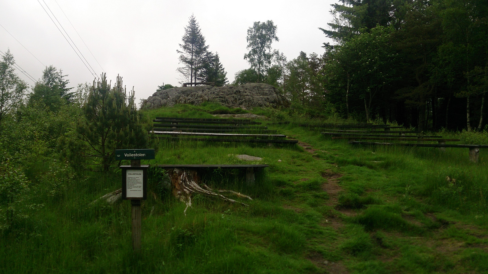
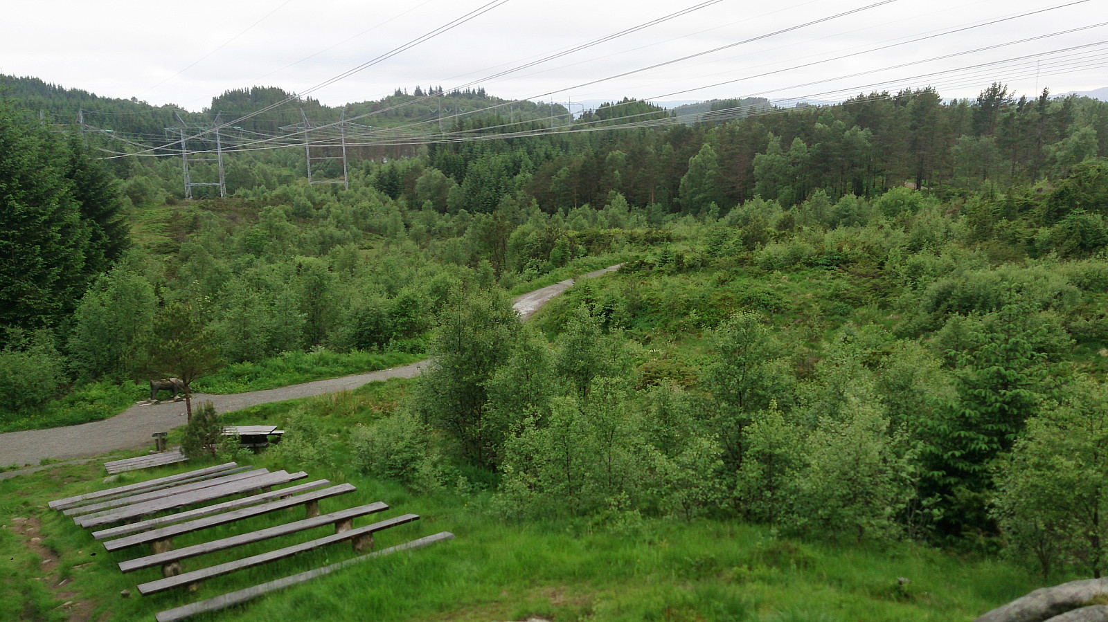
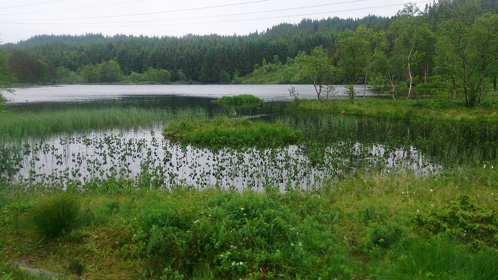
On my last visit the start of the trail was covered with ice. This time the ice had been replaced with water and mud, but the trail was equally poor. It quickly improved though and soon turned into a gravel road. I followed this gravel road towards Bjørnevatnet, with a very short detour to Vallastolen (and Vallastølen).
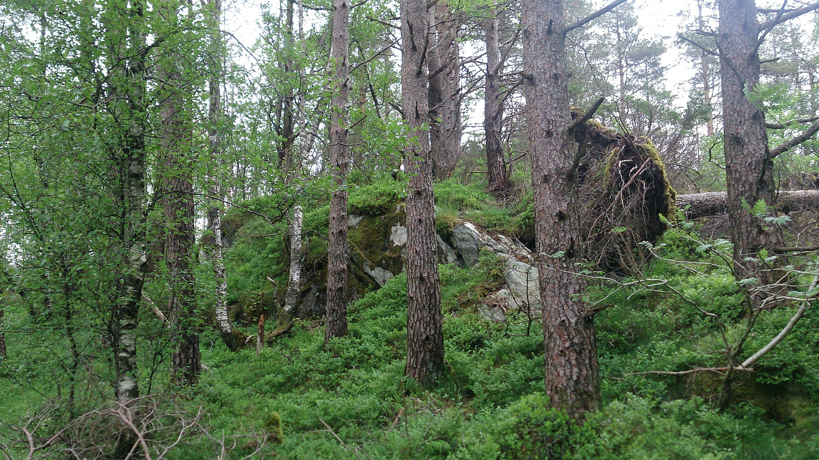
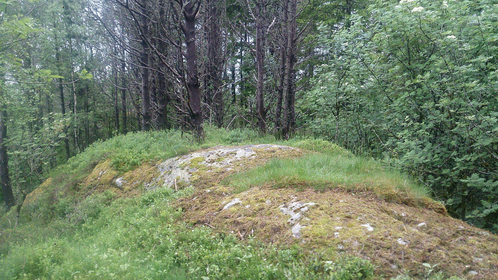
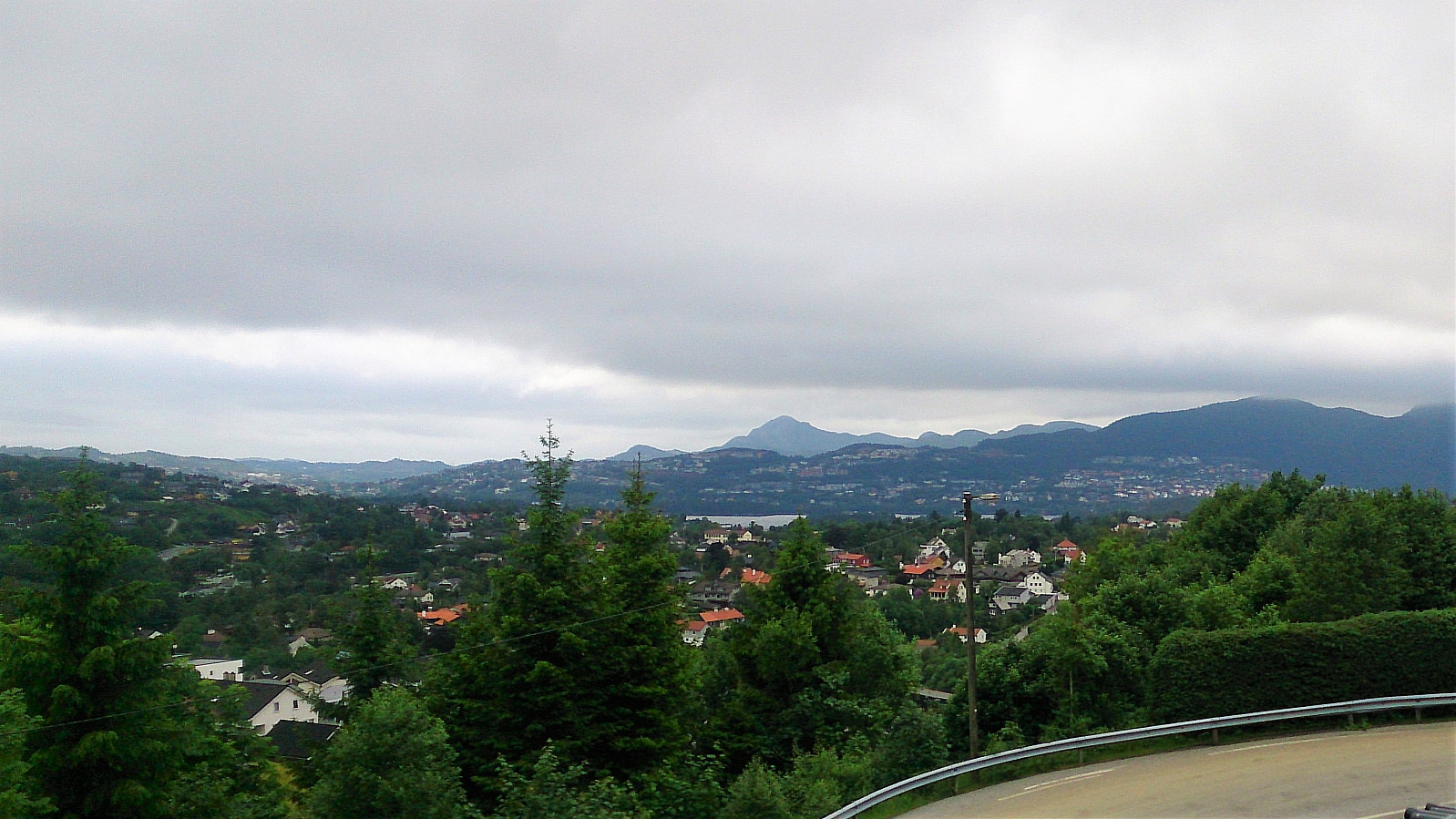
I did not find any trails to the summit of Smøråskletten, but reaching it was straightforward. Limited views from the summit, and only really worth a visit for those collecting the "Opptur Bergen" list. From the summit I continued west down to Apeltunvatnet and Lagunen for the bus back to the city center.
| Startzeitpunkt | 12.06.2017 18:39 (UTC+01:00 SZ) |
| Endzeitpunkt | 12.06.2017 20:12 (UTC+01:00 SZ) |
| Gesamtzeit | 1h 33min |
| Zeit in Bewegung | 1h 30min |
| Pausenzeit | 0h 3min |
| Gesamtschnitt | 3,8km/h |
| Bewegungsschnitt | 4,0km/h |
| Entfernung | 5,9km |
| Höhenmeter | 183m |


Benutzerkommentare