
Sveningen, Søtefjellet, Sauskolten and Rindafjellet (10.06.2017)

Skrevet av hbar (Harald Barsnes)

| Startsted | Øvredal (38moh) |
|---|---|
| Sluttsted | Øvredal (38moh) |
| Turtype | Fjelltur |
| Turlengde | 8t 10min |
| Distanse | 20,0km |
| Høydemeter | 1200m |
| GPS |
|
| Bestigninger | Midseterfjellet (604moh) | 10.06.2017 |
|---|---|---|
| Rindafjellet (715moh) | 10.06.2017 | |
| Sauskolten (732moh) | 10.06.2017 | |
| Sveningen (842moh) | 10.06.2017 | |
| Søtefjellet (767moh) | 10.06.2017 | |
| Andre besøkte PBE'er | Varden på Midseterfjellet (599moh) | 10.06.2017 |
| Midsætret p-plass (207moh) | 10.06.2017 | |
| Varden på Rindafjellet (690moh) | 10.06.2017 | |
| Øvredalen parkering (39moh) | 10.06.2017 |
Sveningen, Søtefjellet, Sauskolten and Rindafjellet
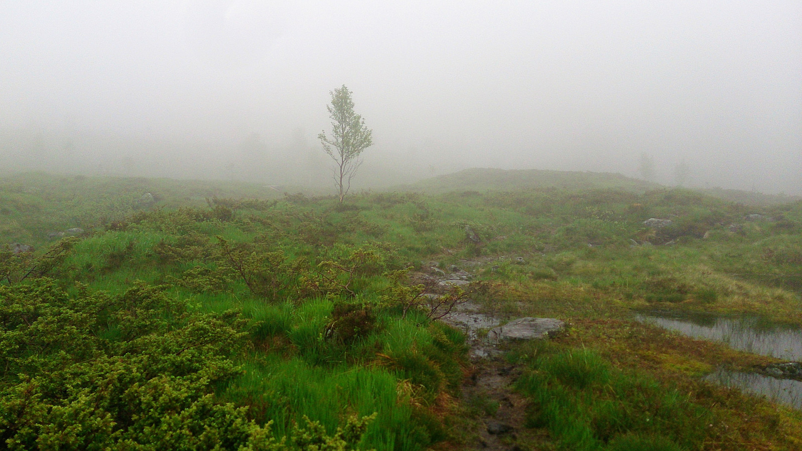
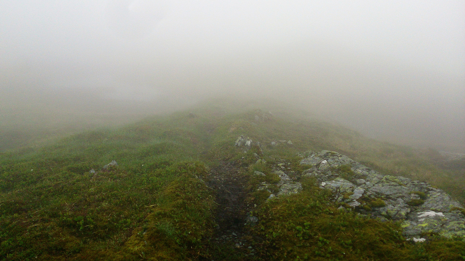
Started from the parking lot in Øvredalen and followed the marked trail towards Sveningen. It started raining as soon as we left the car, and in addition we were quickly surrounded by quite dense fog. But while the rain stopped an hour into the hike, the fog would follow us for almost all of the hike, dramatically reducing the expected views.
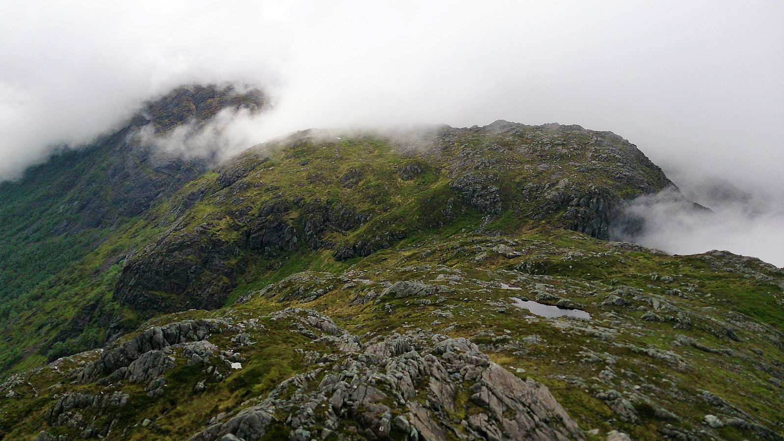
Despite the fog, the trail was easy to follow, and we soon made it to the summit of Sveningen. Here we waited a while for the fog to clear, but in the end we had to give up and continue towards the next target: Søtefjellet. We struggled a bit to locate the trail, the fog obviously not helping, but after finding the trail it was fairly easy to follow.
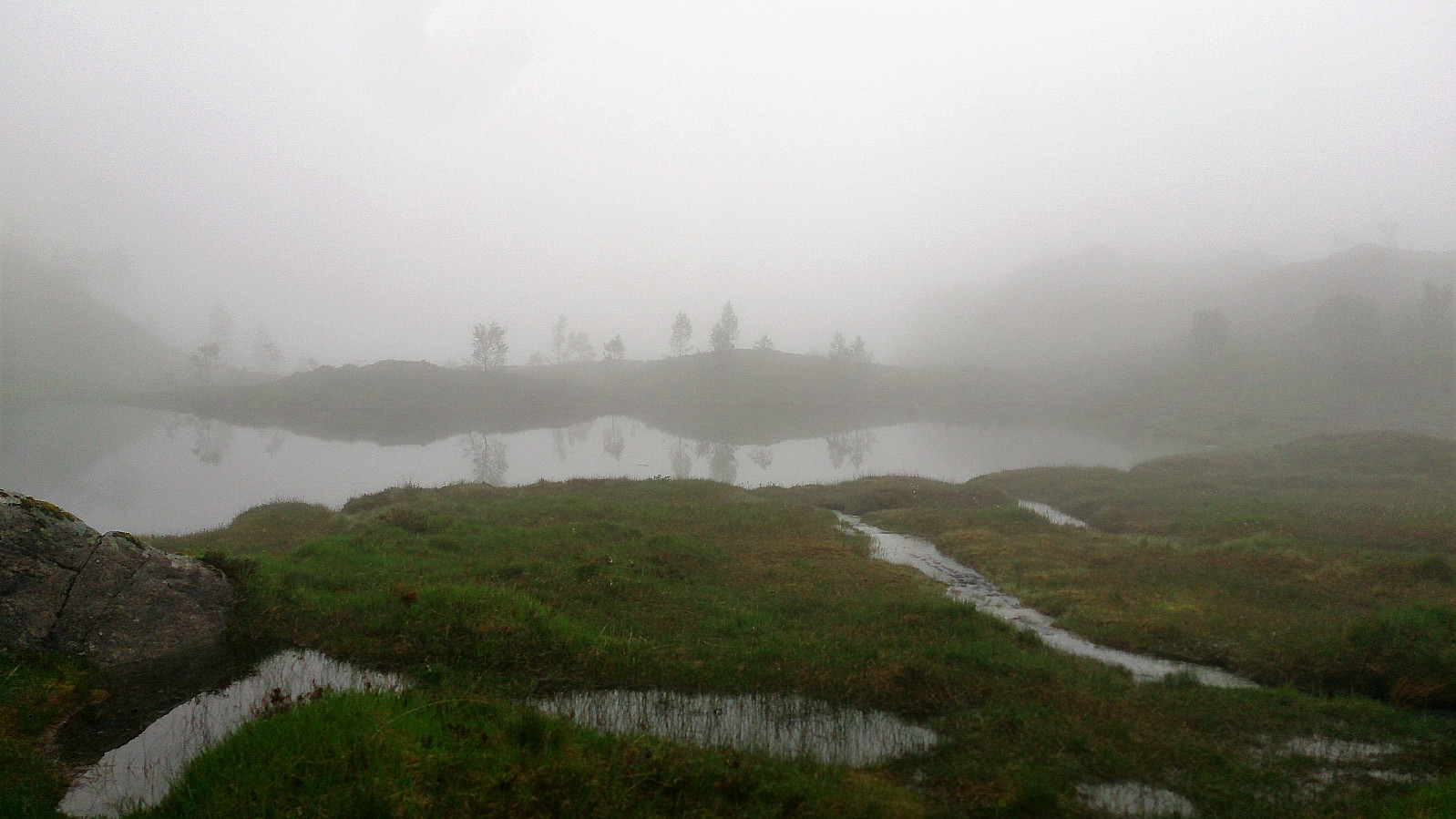
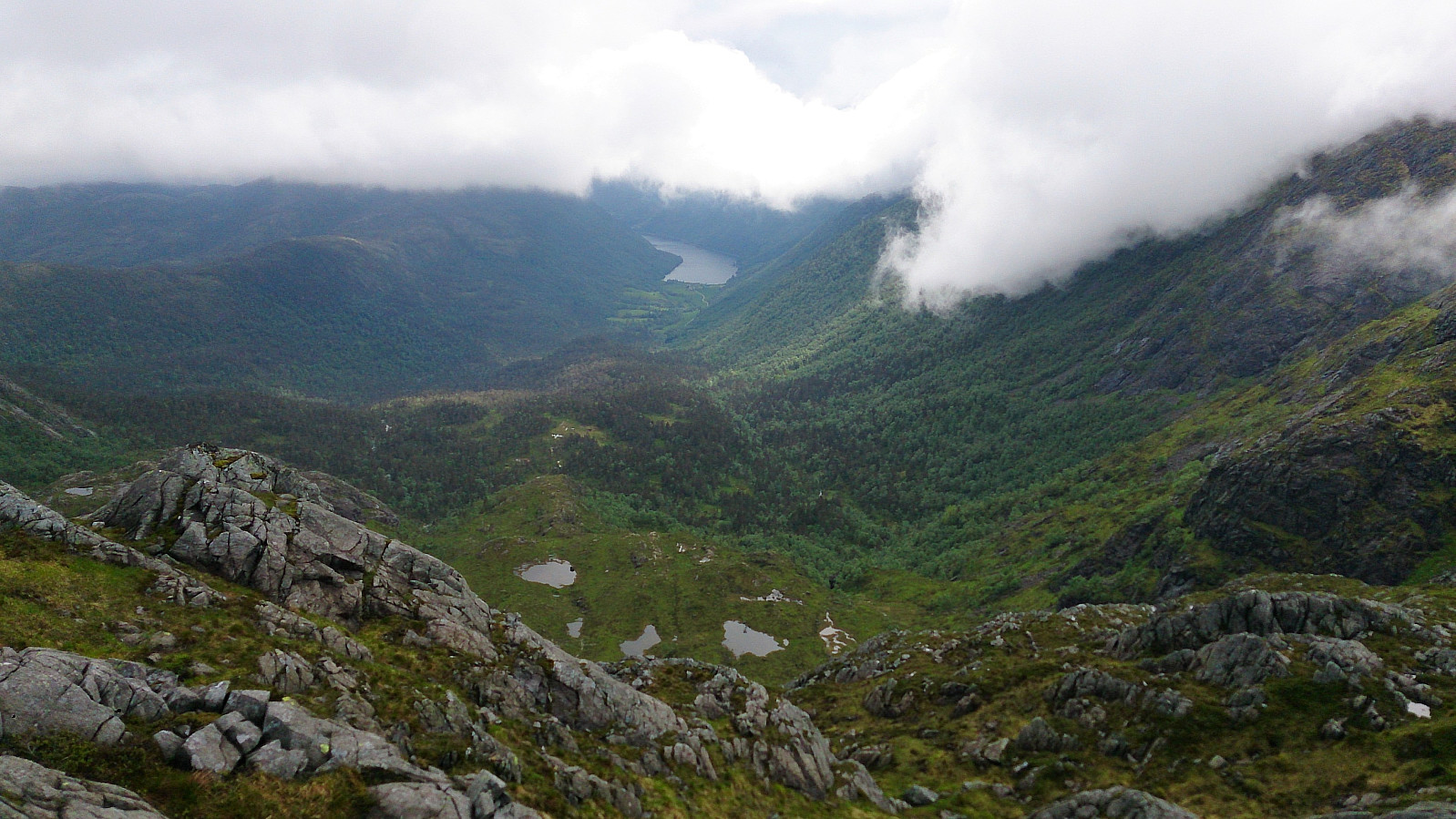
Shortly after leaving Sveningen, the fog cleared briefly and we got a glimpse of the views we were missing. For a moment we thought that perhaps the views would improve from here on, but the fog quickly returned, and even denser than before. However with good help of the GPS, and a trail that was relatively easy to follow, we still found our way to the top of Søtefjellet.
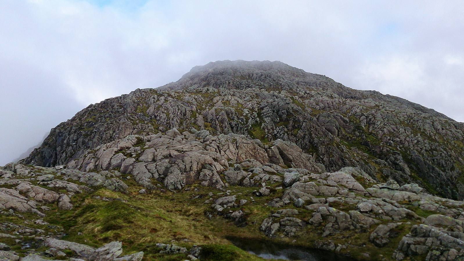
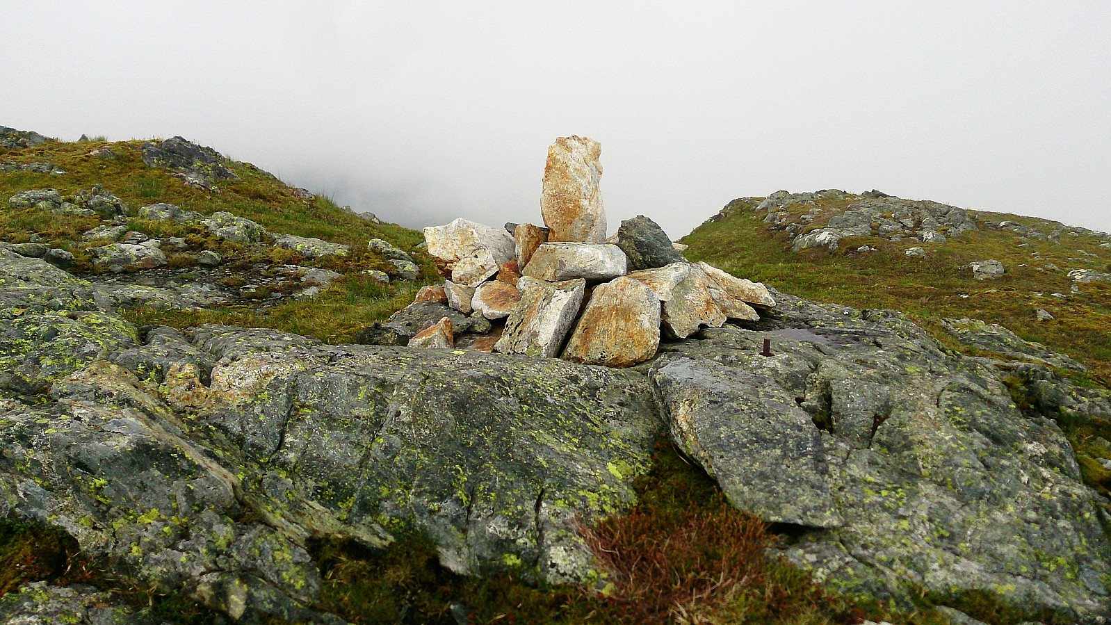
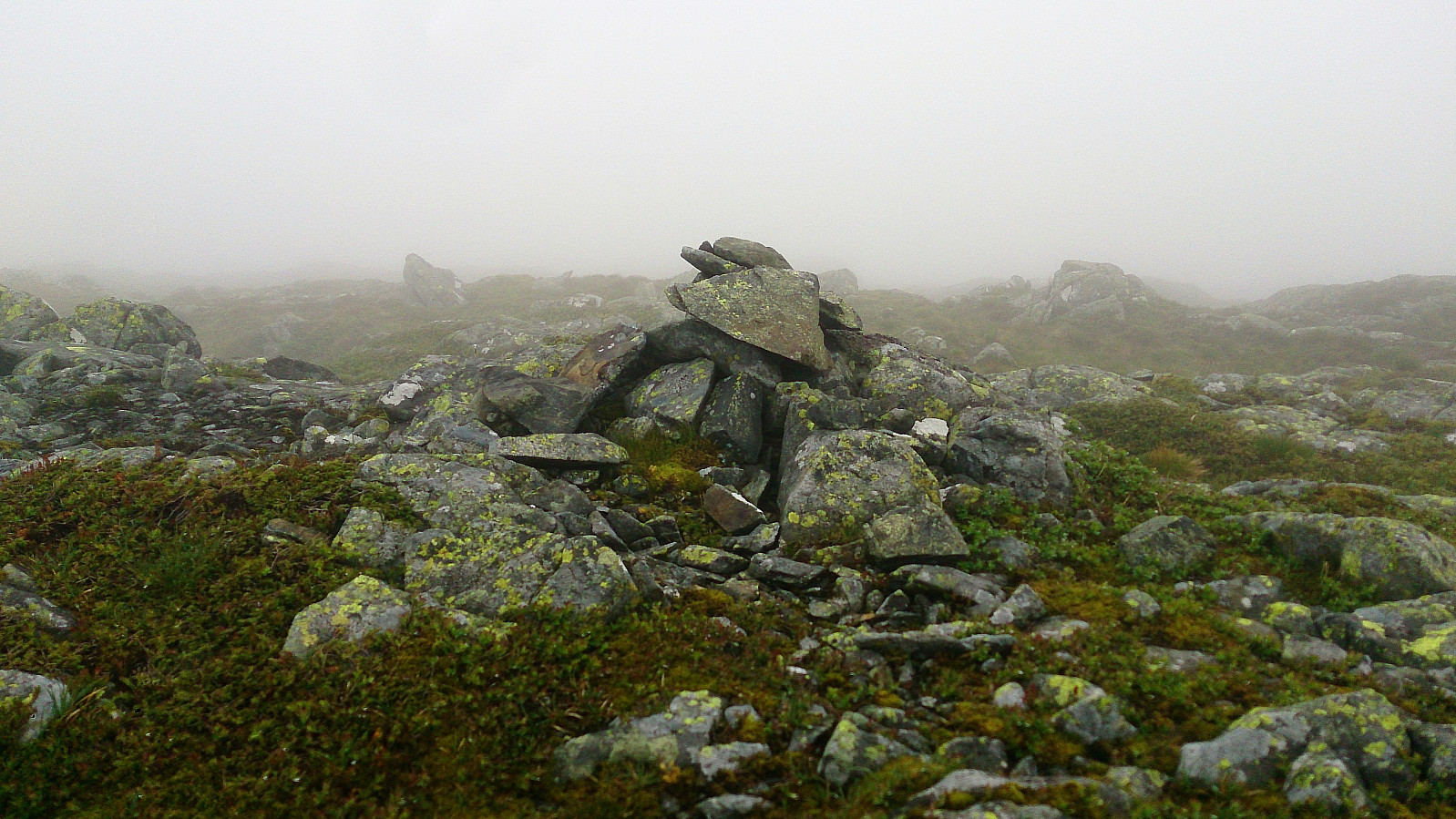
With the limited views we quickly moved on towards Sauskolten. To get to the top of Sauskolten we had to briefly leave the trail, but luckily the fog here cleared just enough for us to easily relocate the trail, before it regained the density we had now gotten quite used to.
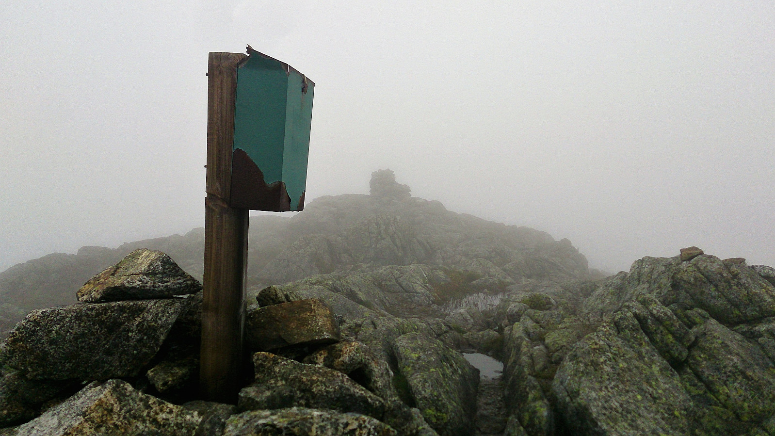
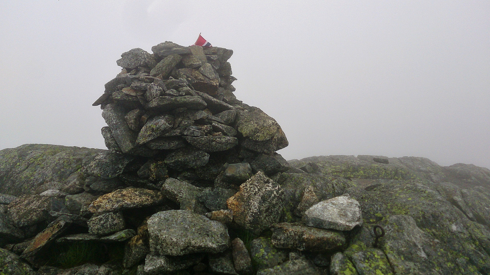
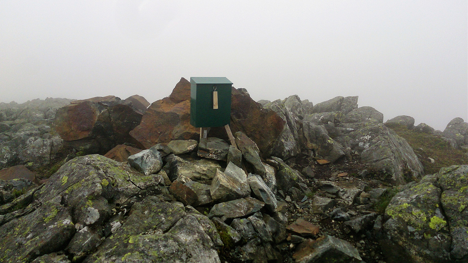
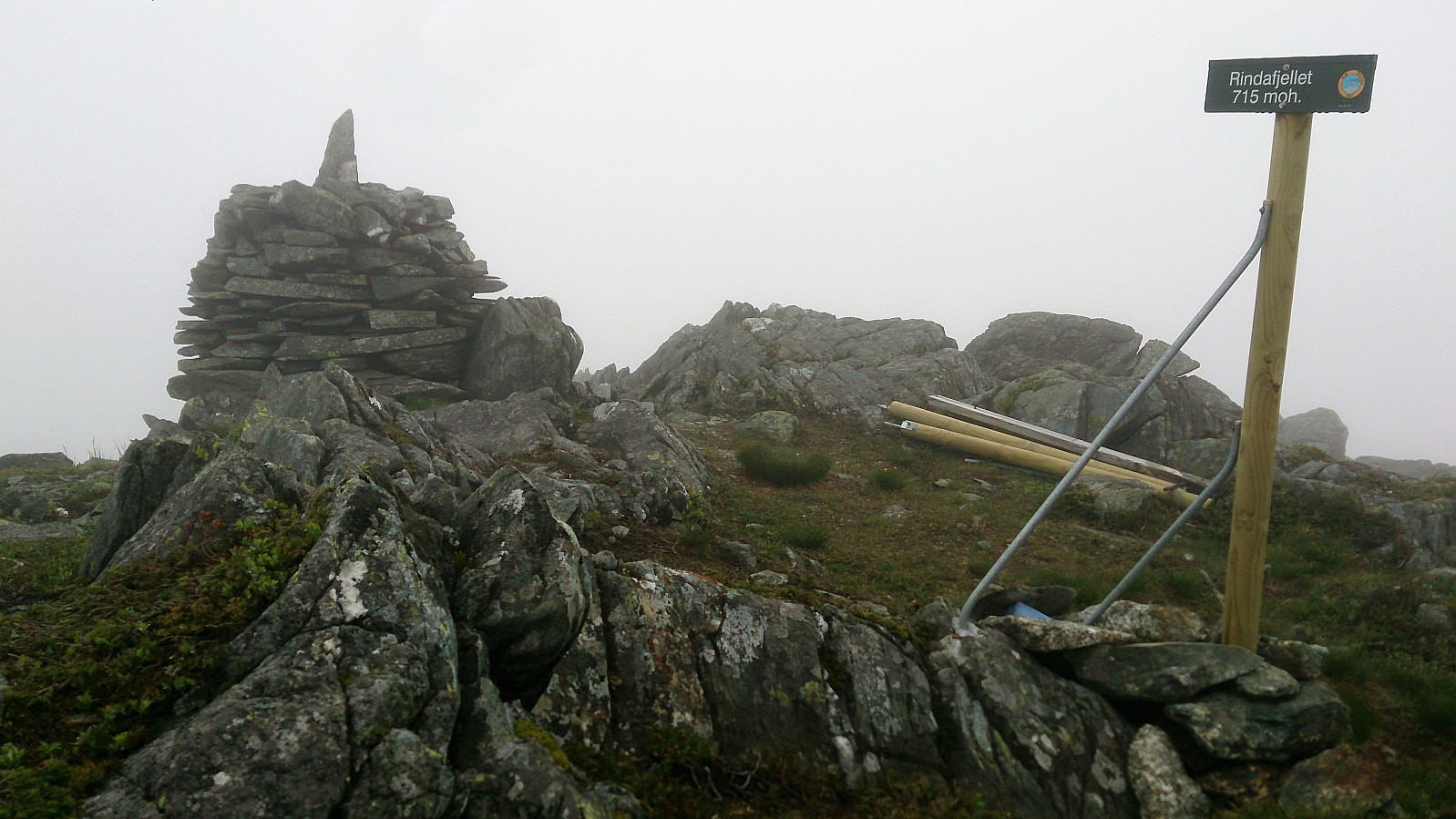
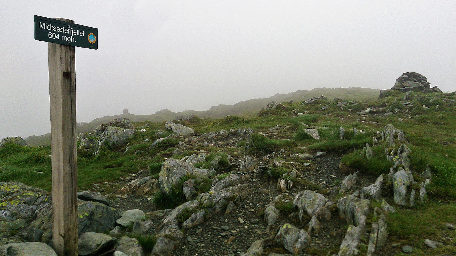
Next was Rindafjellet. The trail did not pass by the summit itself, but a bit to the south of the summit there was a cairn and sign. Here we had a short break before continuing towards Midseterfjellet, a summit that was not registered as a separate summit on PB, however it did have its own cairn and sign.
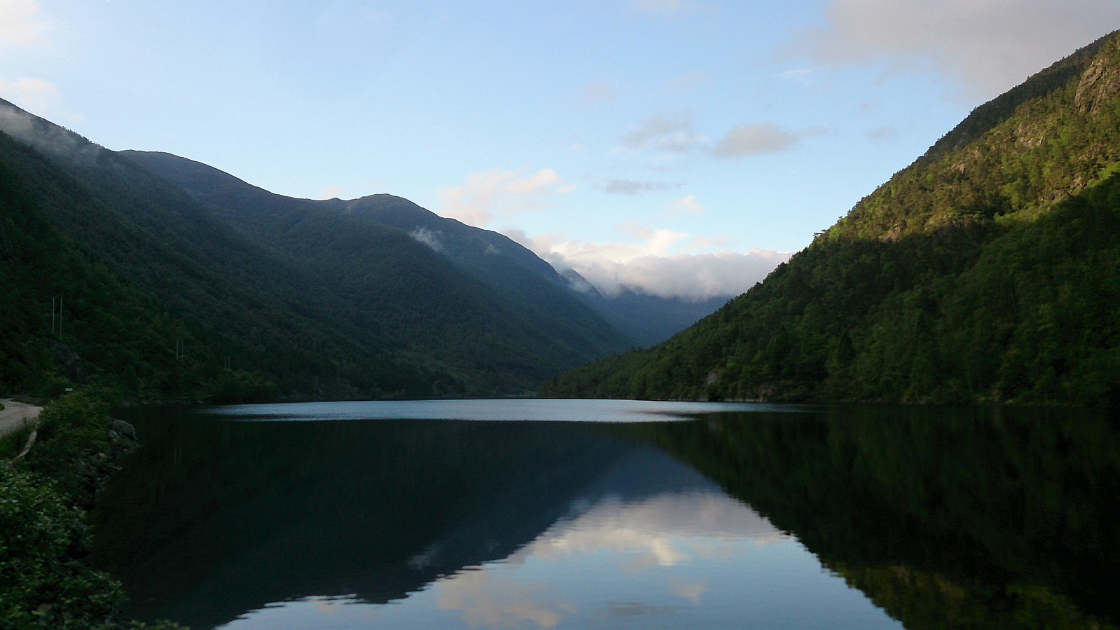
Not too long after leaving Midseterfjellet the fog started clearing, and we soon left it behind for good. Here the trail got a lot worse though, very wet and muddy. This continued until reaching the paved road at Midtsætervegen. Now all that remained was walking down to Øvredalsvegen and follow Øvredalsvatnet back to the car.
Due to the dense fog, this hike turned out very differently than expected, with very limited views for almost all of the hike. But the hike itself, with the exception of the poor trails when getting close to Midtsætervegen, can be highly recommended.
| Starttidspunkt | 10.06.2017 12:24 (UTC+01:00 ST) |
| Sluttidspunkt | 10.06.2017 20:34 (UTC+01:00 ST) |
| Totaltid | 8t 10min |
| Bevegelsestid | 6t 58min |
| Pausetid | 1t 11min |
| Snittfart totalt | 2,4km/t |
| Snittfart bevegelsestid | 2,9km/t |
| Distanse | 20,0km |
| Høydemeter | 1199m |


Kommentarer
Terrific in nice weather!
Skrevet av HHauser 05.07.2017 13:10How unfortunate that you did not have better weather conditions---this is such a beautiful hike (in nice weather)---I strongly recommend to get back in better weather and try again! :-)
Re: Terrific in nice weather!
Skrevet av hbar 05.07.2017 15:43Yes, there will definitely be another hike at a later time in better weather conditions! The five minutes when the fog cleared made sure of that. :)