
Sveåsen and Lauvåsen from Kalandseidet (05.06.2017)

Skrevet av hbar (Harald Barsnes)

| Startsted | Kalandseidet (75moh) |
|---|---|
| Sluttsted | Kalandseidet (75moh) |
| Turtype | Fjelltur |
| Turlengde | 3t 37min |
| Distanse | 12,0km |
| Høydemeter | 460m |
| GPS |
|
| Bestigninger | Lauvåsen (277moh) | 05.06.2017 |
|---|---|---|
| Sveåsen (266moh) | 05.06.2017 | |
| Andre besøkte PBE'er | Kismul p-lomme (90moh) | 05.06.2017 |
Sveåsen and Lauvåsen from Kalandseidet
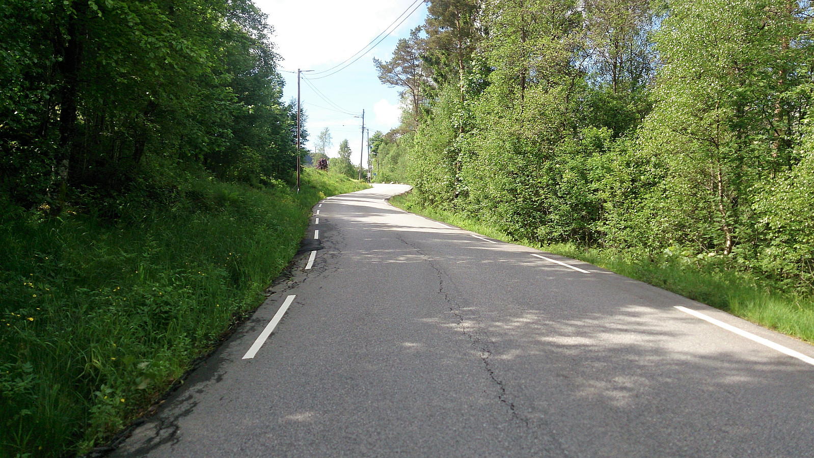
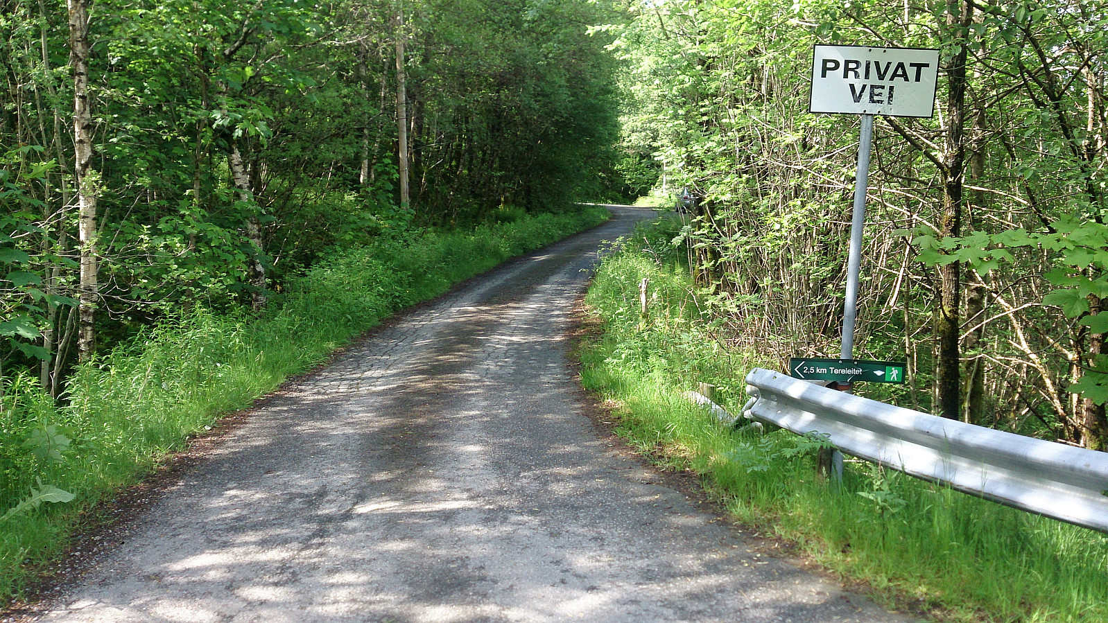
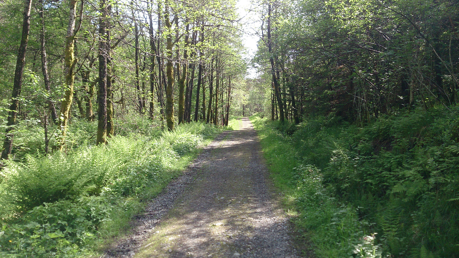
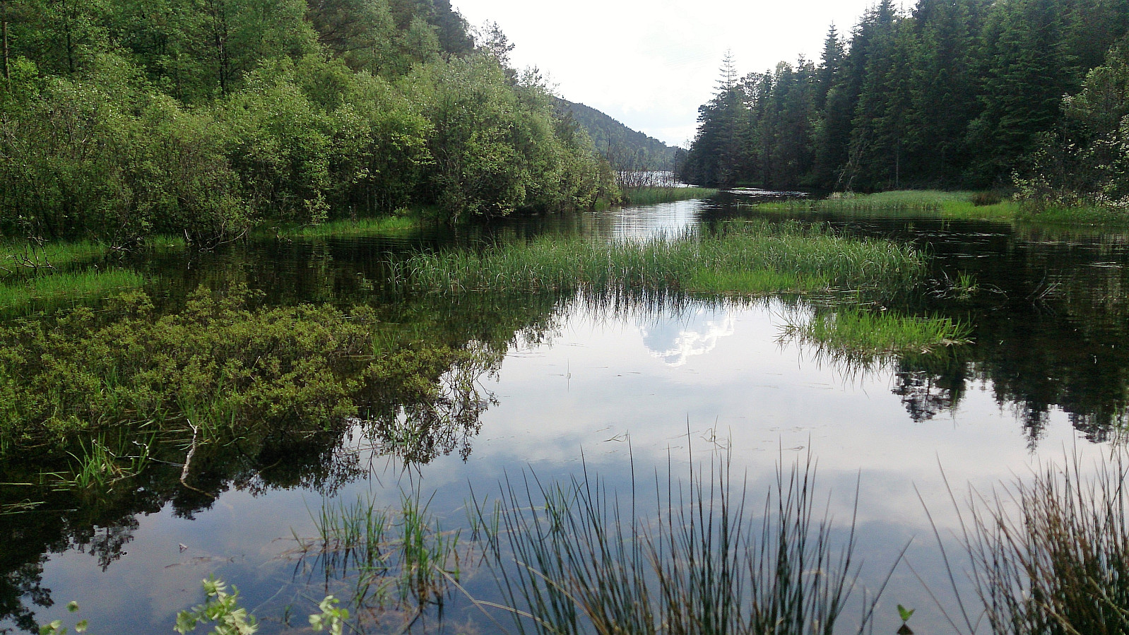
Started by taking the bus to Kalandseidet and walking west along Kismulvegen until Kismulstølen. Here I followed the road south until a crossroads where I took a right and then left, entering a very nice gravel road. At both of these crossroads there were hiking signs towards Tereleitet. I continued south towards Svartavatnet, where the road turned west and then north, and started looking for trails to Sveåsen.
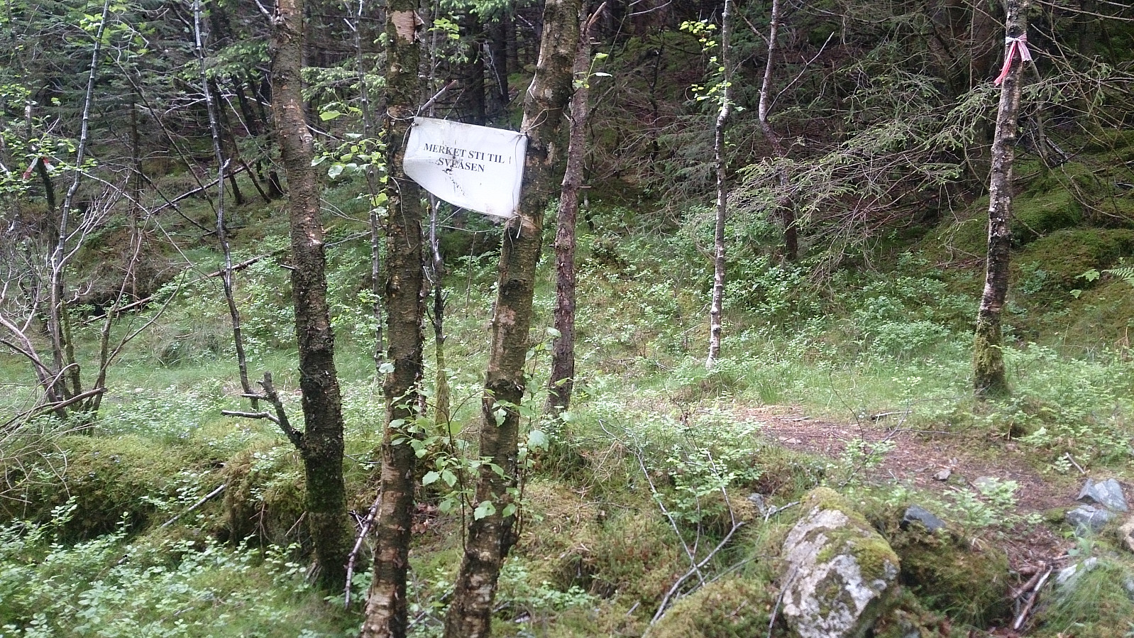
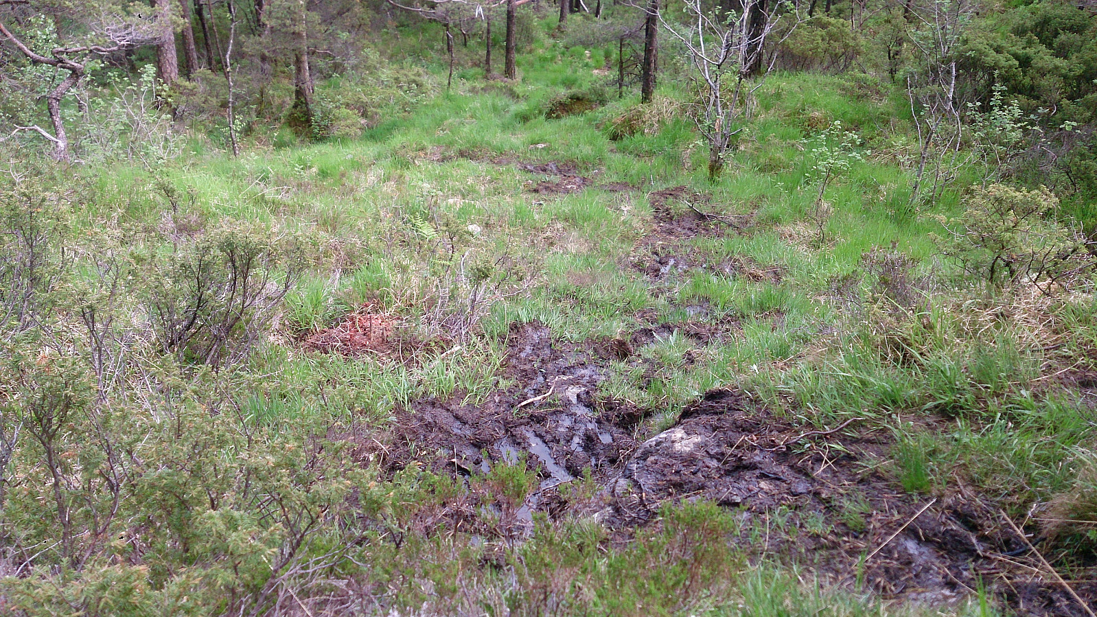
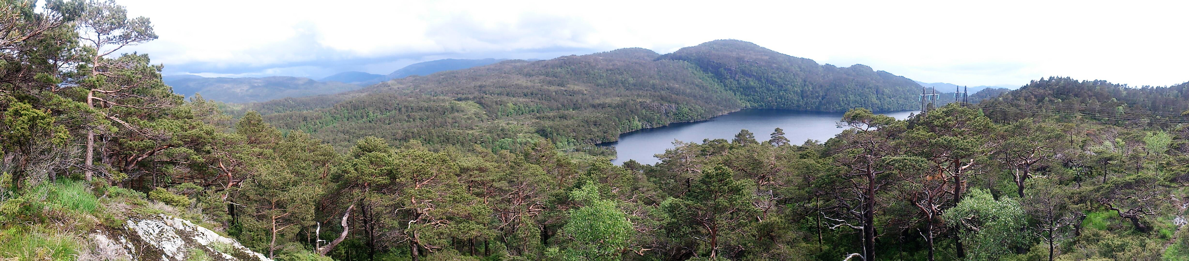
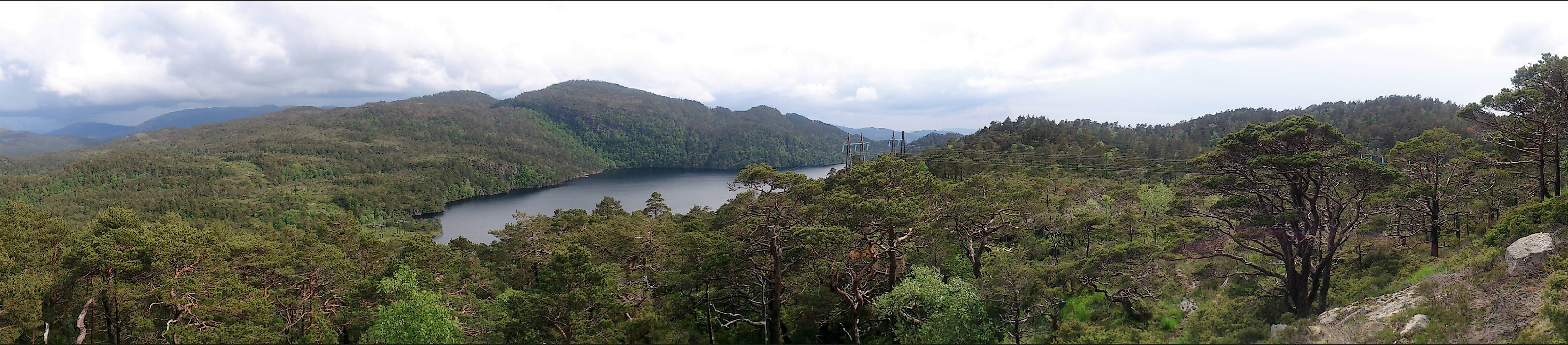
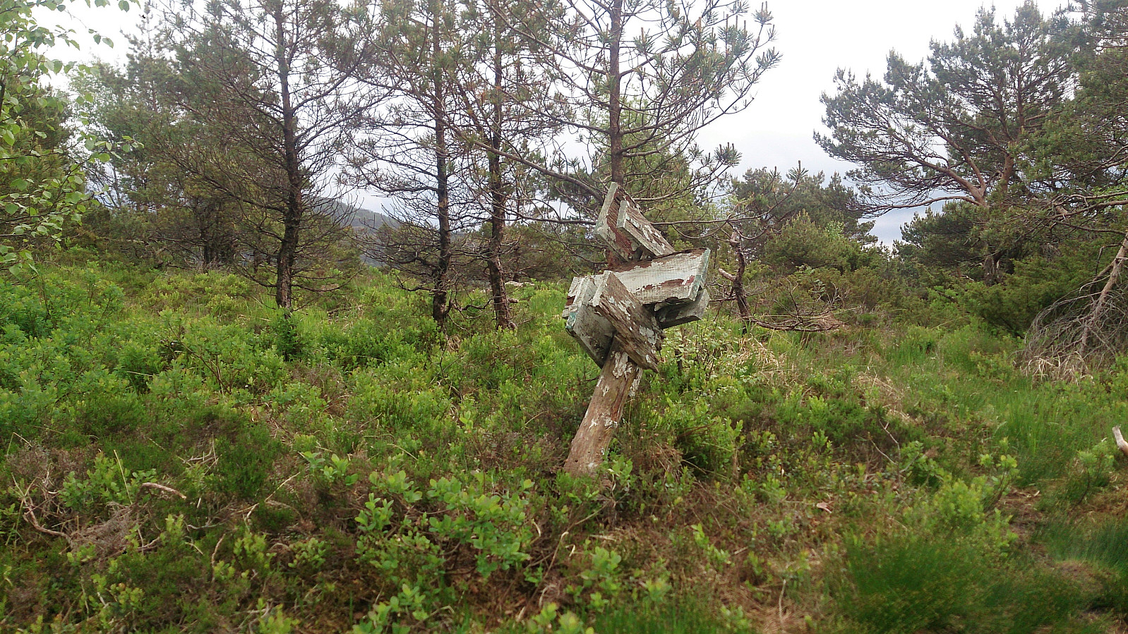
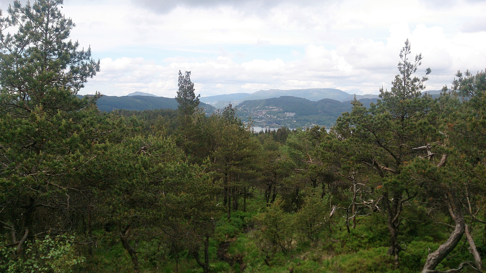
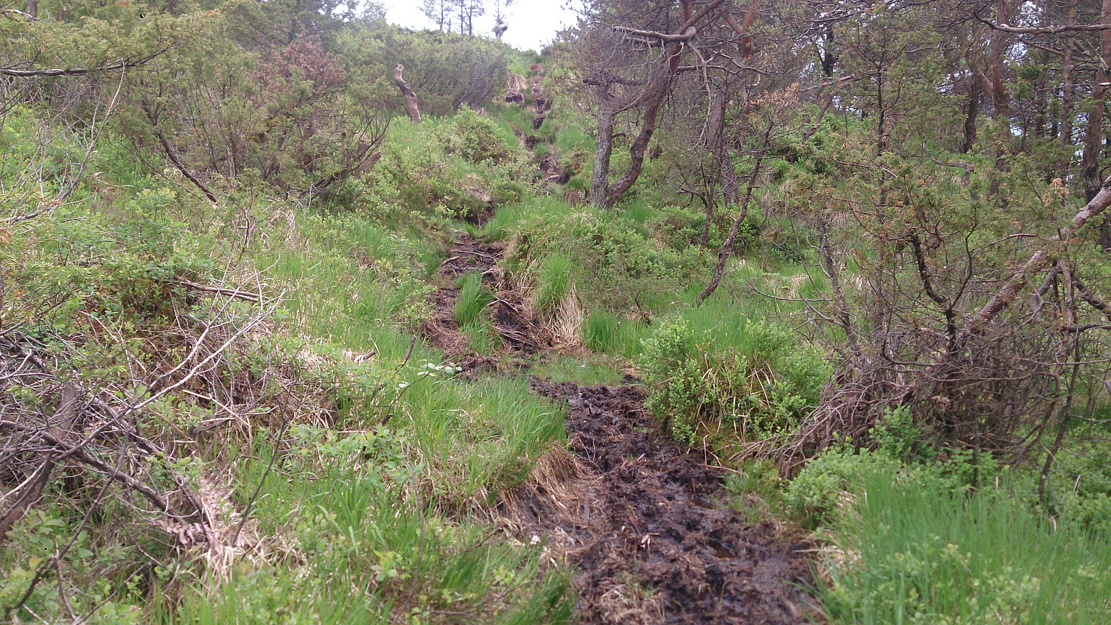
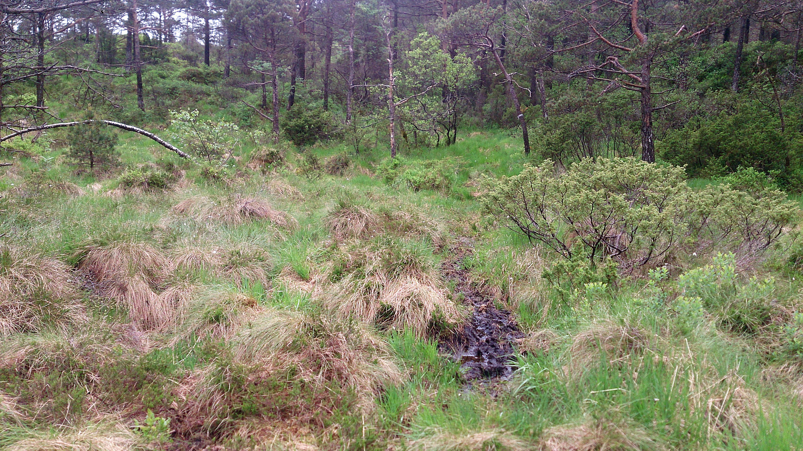
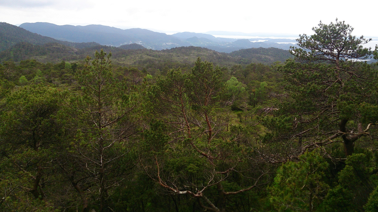
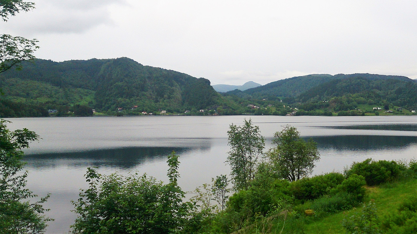
A sign with "Merket sti til Sveåsen" (i.e. "Marked trail to Sveåsen") soon appeared on my left-hand side, and I decided to follow this one. The trail started south on the east side of Sveåsen, before finally turning north and approaching Sveåsen from the south. Note that even though the trail was marked, it was of pretty low quality and very muddy at times, especially the section right after turning north. The summit itself provided limited views, but the views where quite nice south of the summit, with views across Svartavatnet and towards Lyshornet, plus just to the north of the summit, where one could see, among others, Ulriken, Rundemanen, and Løvstakken.
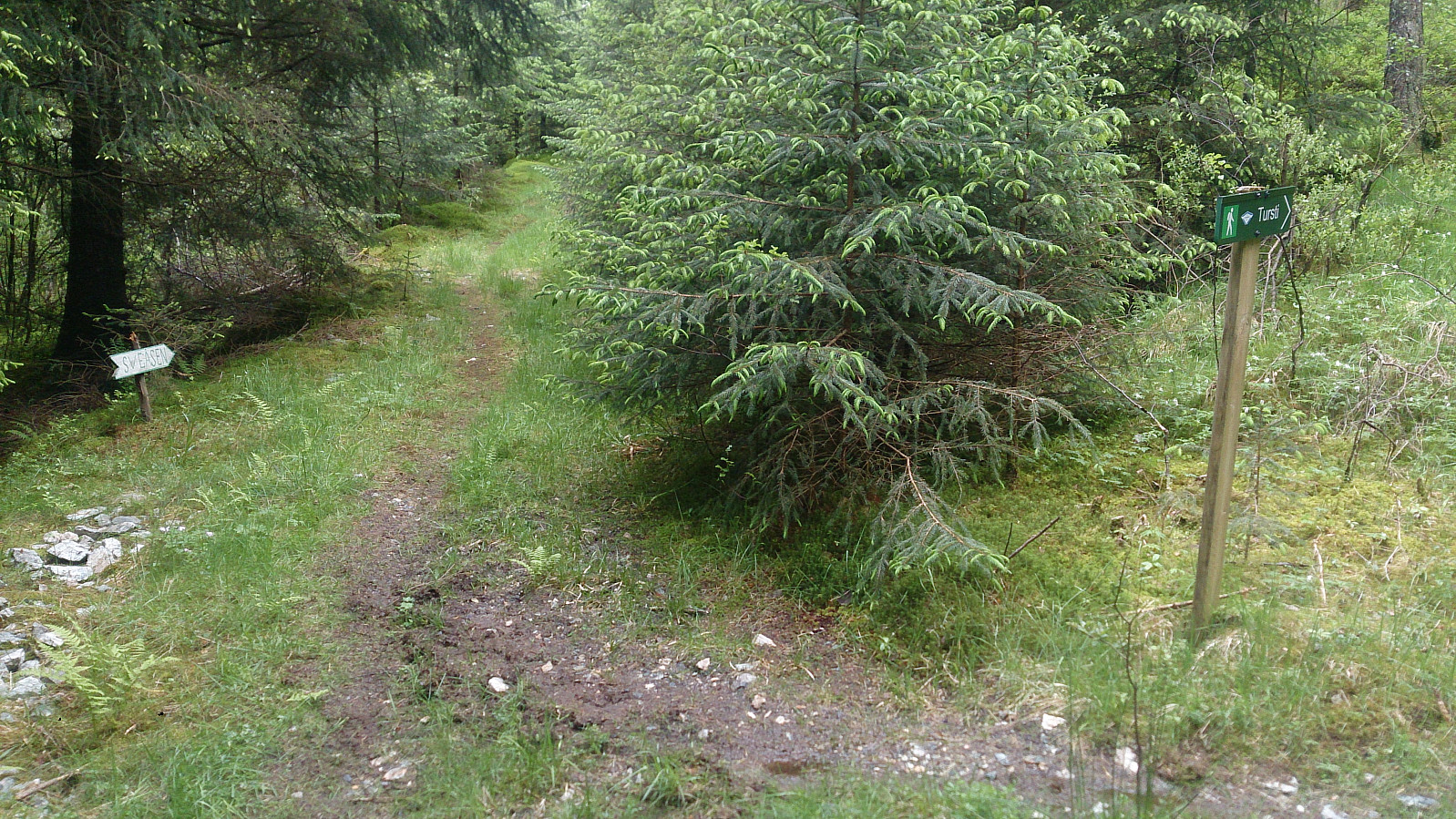
I continued north across the summit on equally poor and muddy trails, until reaching a crossroads where I could either head left in the direction of Lauvåsen or right towards the gravel road I left earlier. I chose the former and started on a marked trail labeled "Tursti". However, it quickly became clear that this trail was not heading for Lauvåsen. I therefore instead started making my own way in the direction of Lauvåsen.
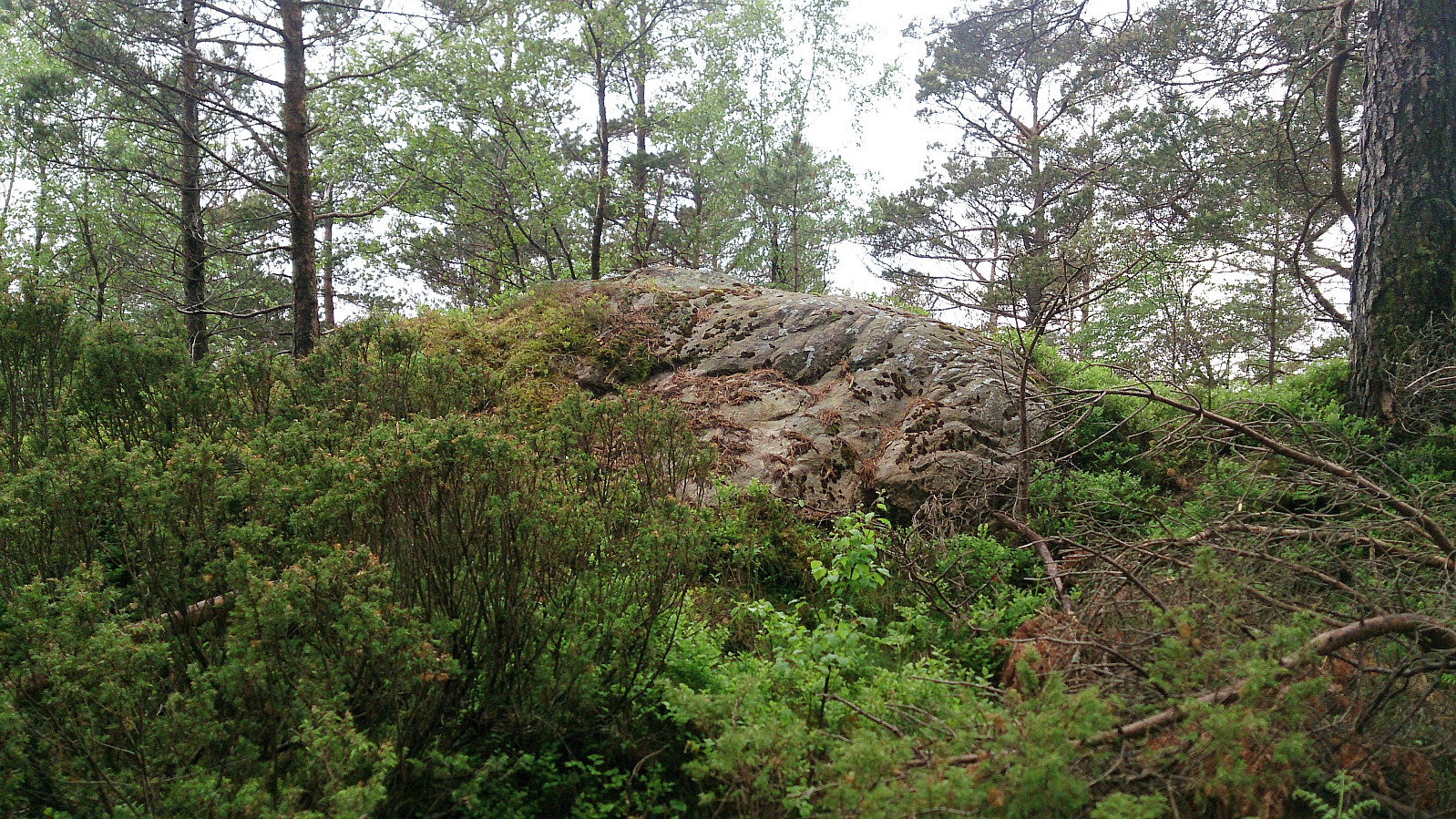
On my search for Lauvåsen I came across a marked trail, but for the most part it was nothing more than footprints in the mud, and as it was not heading for Lauvåsen either, I again had to find my own way. The terrain was not difficult to traverse, but very wet and mainly consisted of marshes. In the end I reached Lauvåsen, which provided very limited views, however just south of the summit there were some nice views towards Lysefjorden.
From Lauvåsen, I followed more or less the same route back to the crossroads north of Sveåsen, this time continuing north back to the gravel road. At this point I could have followed the gravel road all the way back to Kalandsvatnet, but instead I located a shortcut through Ramsdalen. The start of this trail was indicated on the map, but one had to pay attention, as the trees on each side of the road were more or less hiding the entrance, but after around 50 meters the trail turned into an old forest road that was easy to follow.
Before connecting with the main road it changed into a trail again, and while this trail was not as nice as the gravel road I used in the opposite direction, it can still be recommended as an alternative. The hike was completed by walking along the road back to Kalandseidet, using the bike and hiking trails where available, arriving just in time for the bus back to the city center.
In summary, the hike started out great, but wet and muddy trails (where there were trails at all), plus the limited views from the two summits, resulted in an experience that cannot really be recommended (at least for those not collecting peaks). This was especially true for the visit to Lauvåsen.
| Starttidspunkt | 05.06.2017 15:21 (UTC+01:00 ST) |
| Sluttidspunkt | 05.06.2017 18:59 (UTC+01:00 ST) |
| Totaltid | 3t 37min |
| Bevegelsestid | 3t 13min |
| Pausetid | 0t 23min |
| Snittfart totalt | 3,3km/t |
| Snittfart bevegelsestid | 3,7km/t |
| Distanse | 12,0km |
| Høydemeter | 459m |


Kommentarer