
Skinarfjellet from Barsnesfjorden (27.05.2017)

Geschrieben von hbar (Harald Barsnes)

| Startpunkt | Barsnesfjorden (9m) |
|---|---|
| Endpunkt | Barsnesfjorden (9m) |
| Tourcharakter | Bergtour |
| Tourlänge | 6h 14min |
| Entfernung | 12,6km |
| Höhenmeter | 986m |
| GPS |
|
| Besteigungen | Skinarfjellet (896m) | 27.05.2017 |
|---|---|---|
| Besuche anderer PBE | Dal (400m) | 27.05.2017 |
| Helgasete (600m) | 27.05.2017 |
Skinarfjellet from Barsnesfjorden
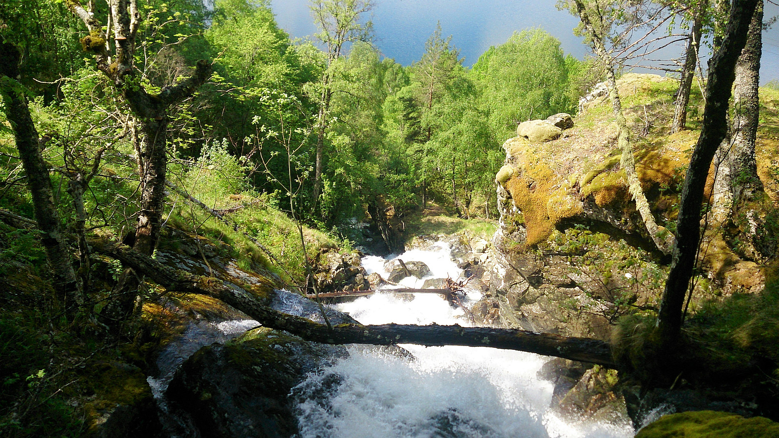
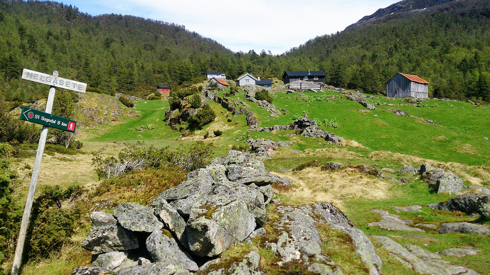
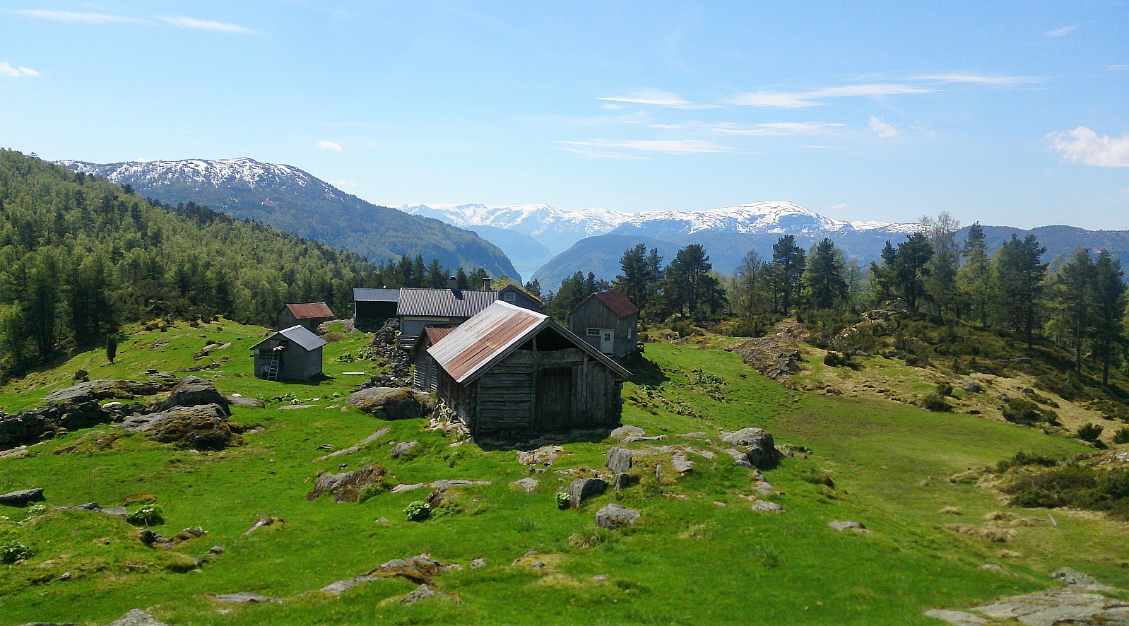
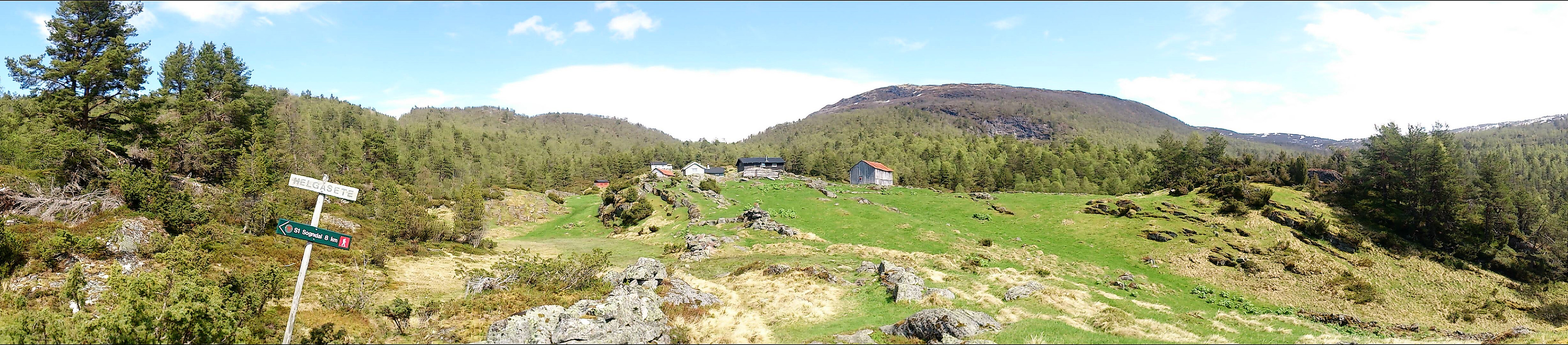
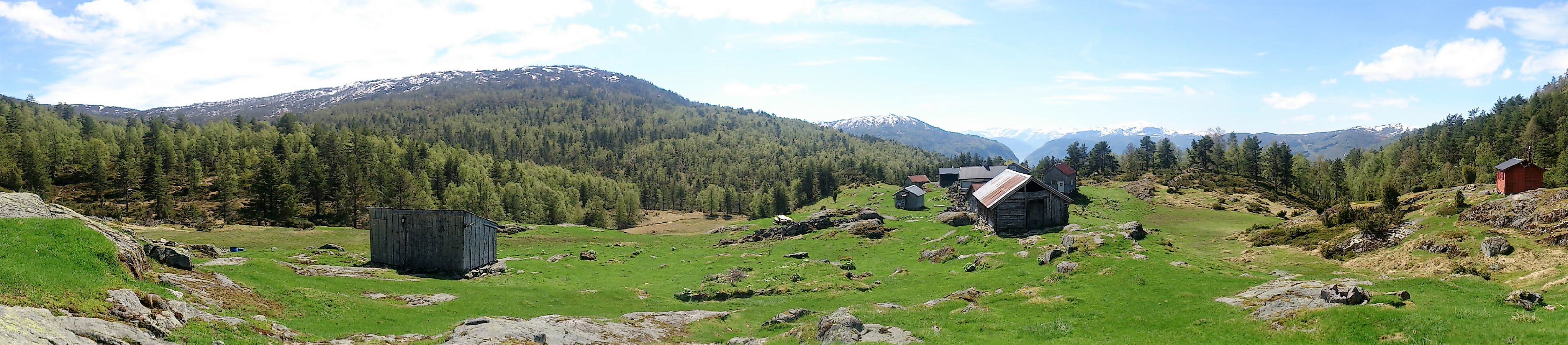
Started from the private parking lot at the end of the gravel road on the south side of Barsnesfjorden. We then followed the marked trail via Dal to Helgasete.
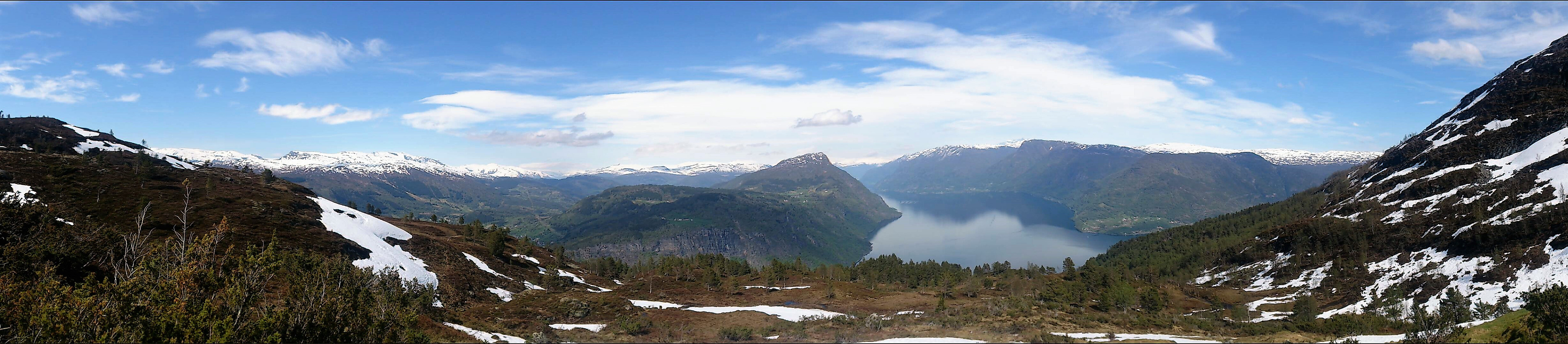
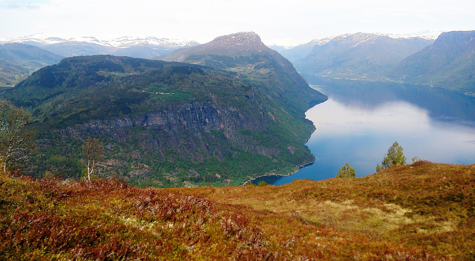
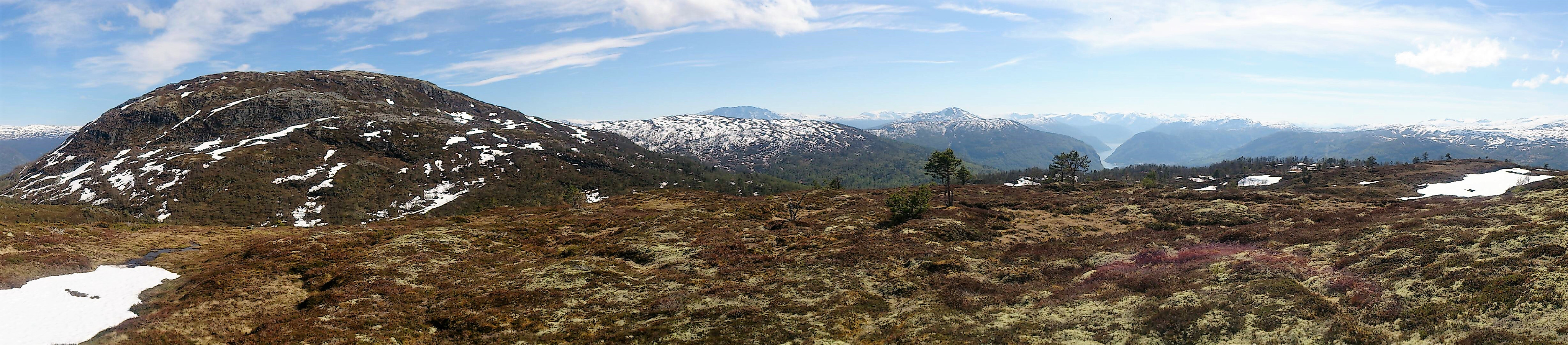
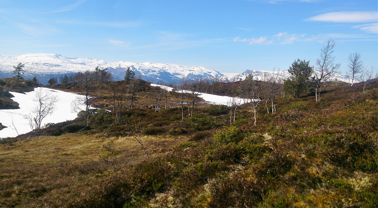
After a long break at Helgasete we continued northeast, first along the marked trail towards Solvornnipa and later along the marked trail towards Solvorn. When getting to the end of Hestadalen and the start of Skaret, we turned northwest and made our own way across the smaller peaks there, while enjoying all around spectacular views towards the north!
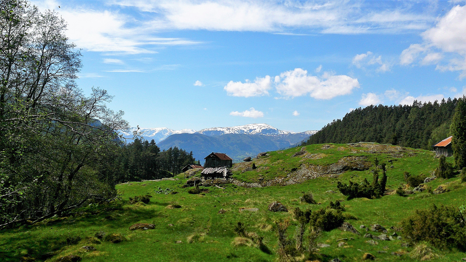
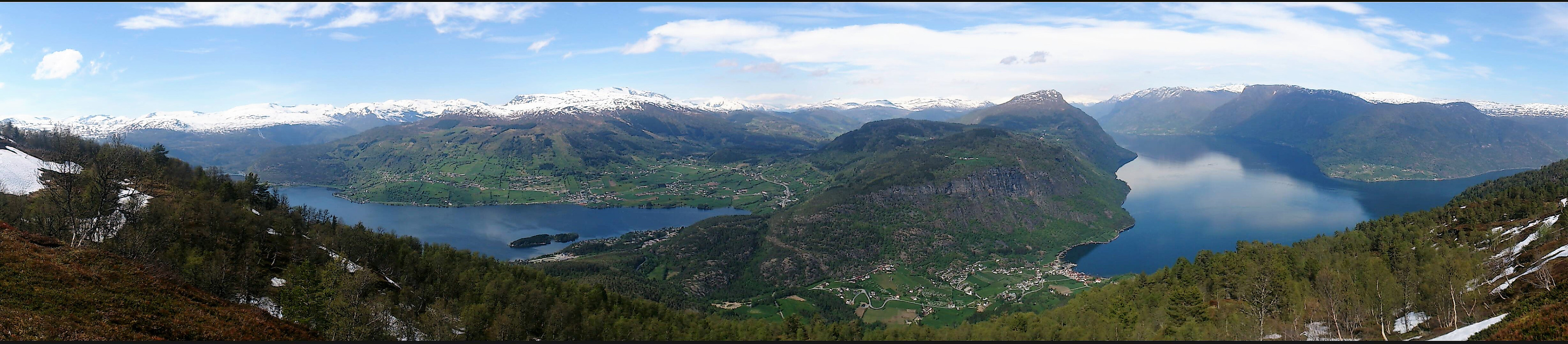
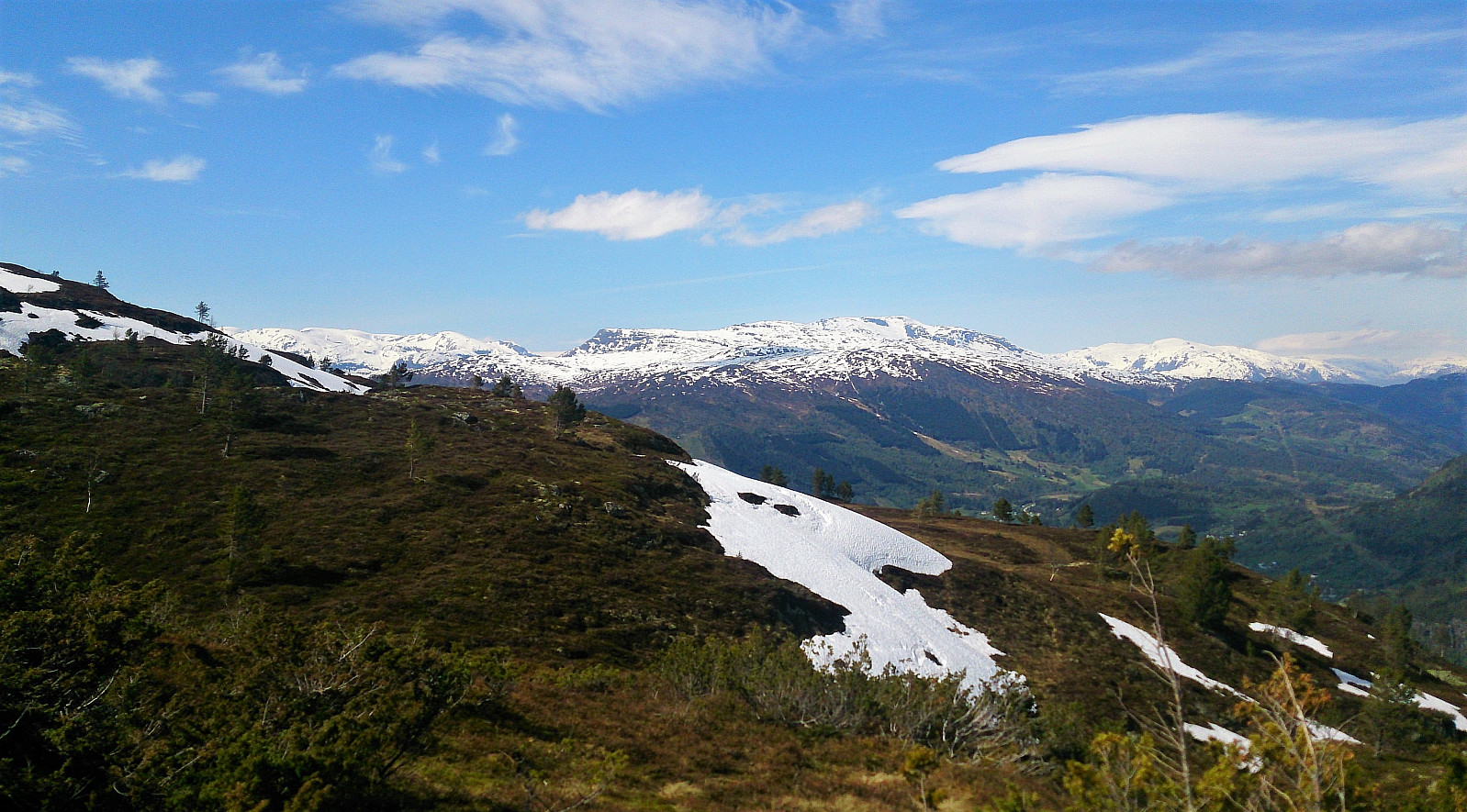
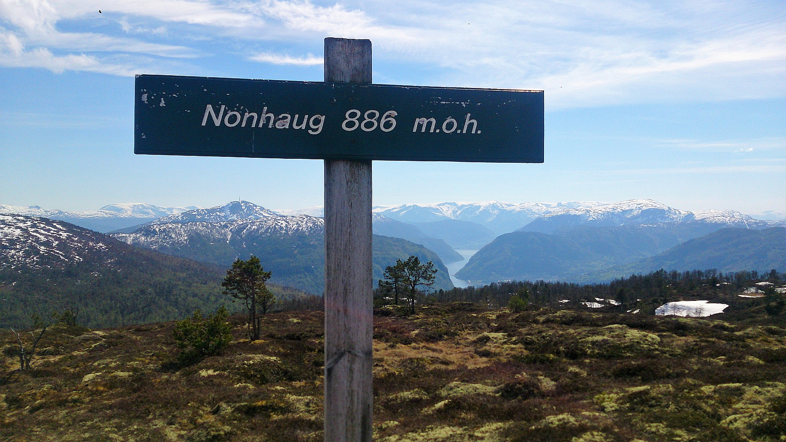
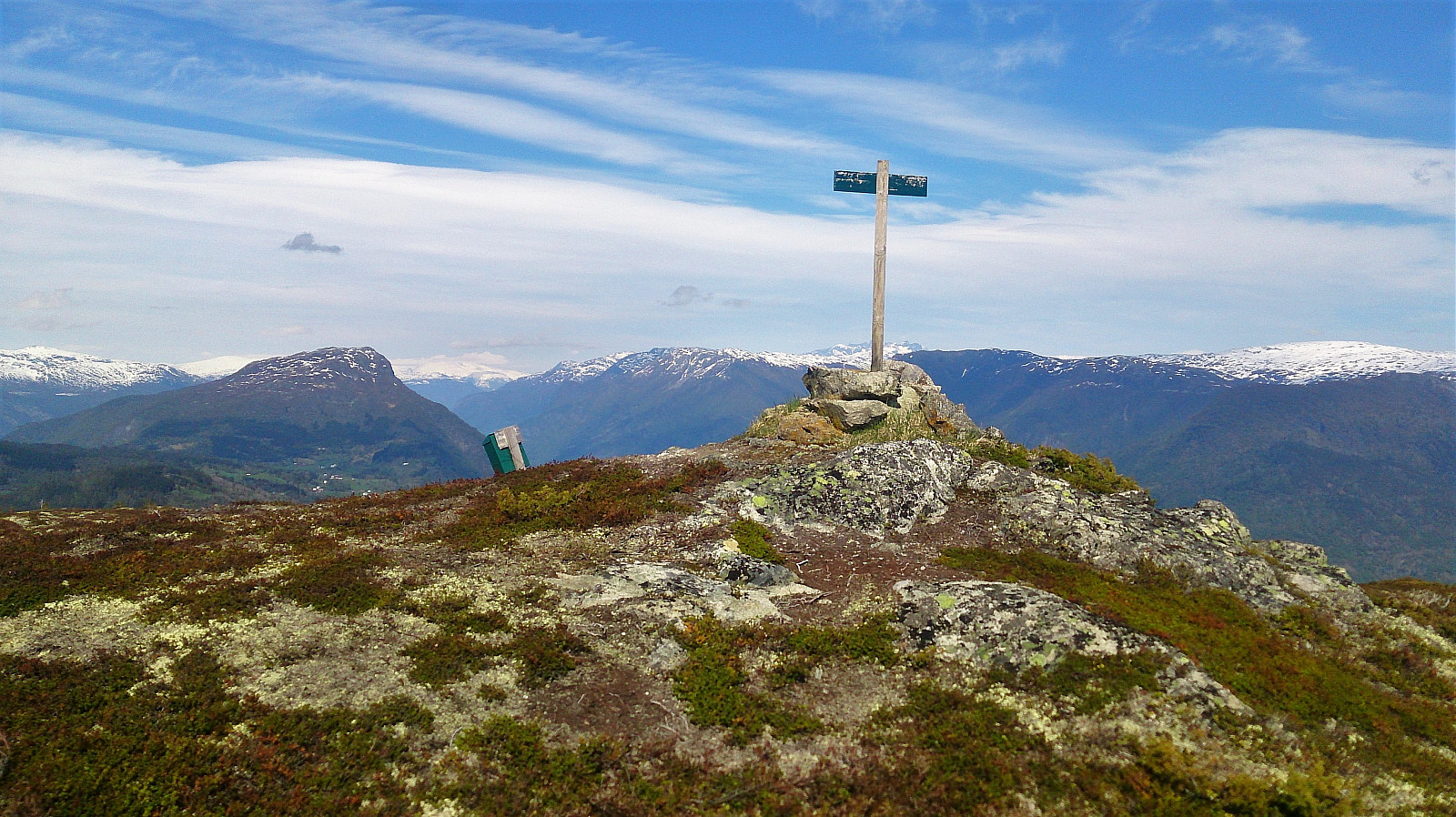
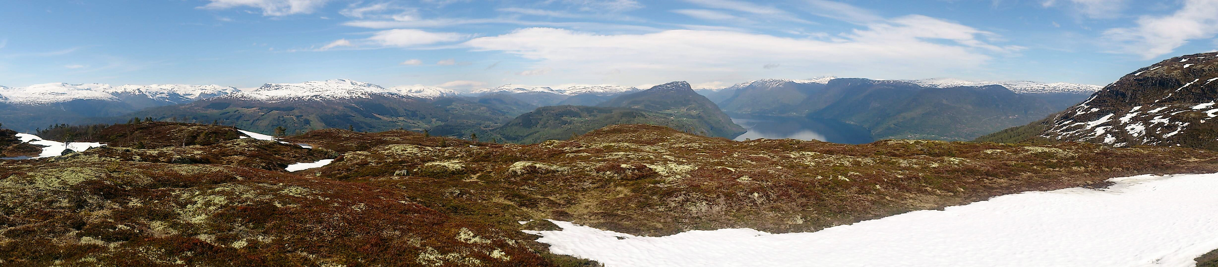
We then turned southwest and headed for the summit of Skinarfjellet, which is called Nonhaug on the sign at the summit (and Skinarfjellet/Nonshaug on the map). Here there were excellent views in all directions, as can be seen from the pictures. No clear trails to/from the summit, but some weak trails/animal tracks that could be partially followed.
From the summit we partly followed weak trails and partly made our own path, until arriving back at the marked trail at Kyrkjemyr, which we then followed back to Helgasete for another break, before making our way back down to the parking lot.
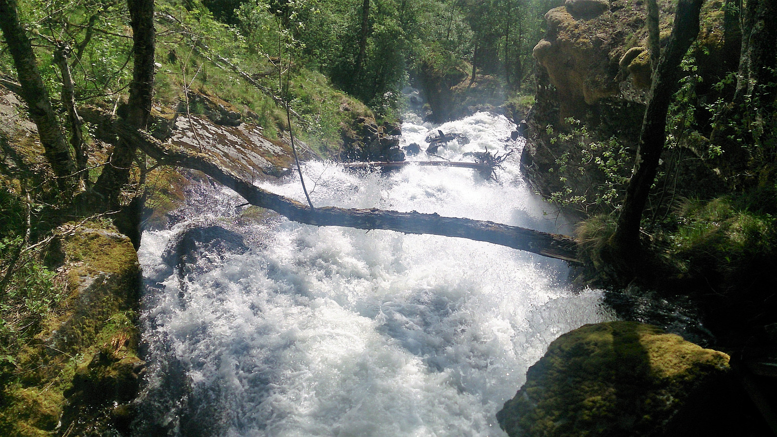
Getting back down was actually slightly more complicated than expected, as the warm May day (20+ degrees in the shade) had melted large quantities of snow, resulting in the rivers having grown significantly since our ascent just hours earlier. We therefore had to make some minor detours from the planned trail in order to not get too wet. :)
In summary, an excellent hike that can be highly recommended, with spectacular views in all directions!
Note that the road to where the trail starts is private, i.e. no cars allowed. There are however a couple of parking spaces down by the small wharf along Barsnesfjorden just before the road turns west and starts climbing slightly towards the crossroads at Barsnes.
| Startzeitpunkt | 27.05.2017 12:19 (UTC+01:00 SZ) |
| Endzeitpunkt | 27.05.2017 18:33 (UTC+01:00 SZ) |
| Gesamtzeit | 6h 14min |
| Zeit in Bewegung | 4h 44min |
| Pausenzeit | 1h 30min |
| Gesamtschnitt | 2,0km/h |
| Bewegungsschnitt | 2,7km/h |
| Entfernung | 12,6km |
| Höhenmeter | 985m |


Benutzerkommentare