
Veten, Leirvågfjellet and Storafjellet (20.05.2017)

Written by hbar (Harald Barsnes)

| Start point | Krokeide Videregående Skole (33m) |
|---|---|
| Endpoint | Rød (48m) |
| Characteristic | Hillwalk |
| Duration | 2h 48min |
| Distance | 8.7km |
| Vertical meters | 501m |
| GPS |
|
| Ascents | Leirvågfjellet i Fana (153m) | 20.05.2017 |
|---|---|---|
| Storafjellet (126m) | 20.05.2017 | |
| Veten i Fana (172m) | 20.05.2017 |
Veten, Leirvågfjellet and Storafjellet
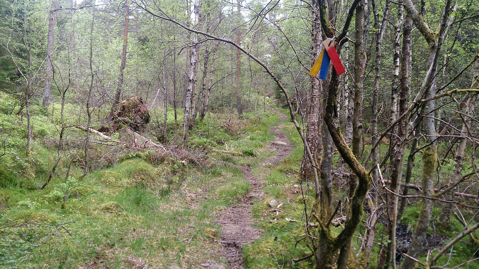
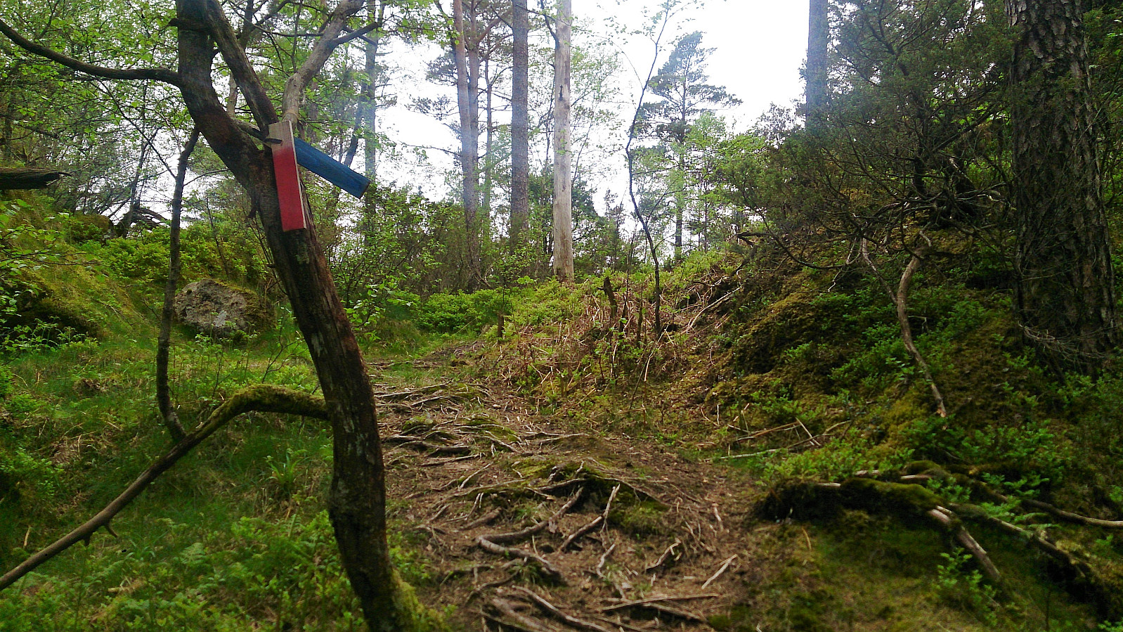


Started by taking the bus to Krokeide Videregående Skole and walking up Korsnesvegen to where the map indicated a trail in the direction of Moldstigahaugen. The start of the tail was not marked, but the trail itself was marked with small colored wooden tags (see picture). However three colors were used and I had no information about which color corresponded to which goal...
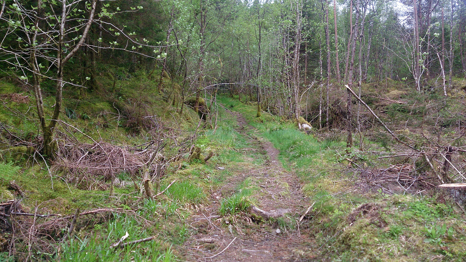
The trail started out as a tractor road that later turned into a trail. As I would later figure out, the trail continues over the hill and reconnects with Korsnesvegen as it comes up from the parking lot. But my plan was to first go via Leirvågfjellet, and I therefore instead followed a weak trail north. This trail quickly disappeared (if it was ever more than an animal track to begin with), and thus getting to the top of Leirvågfjellet mainly consisted of making my own way through lots of bushes.
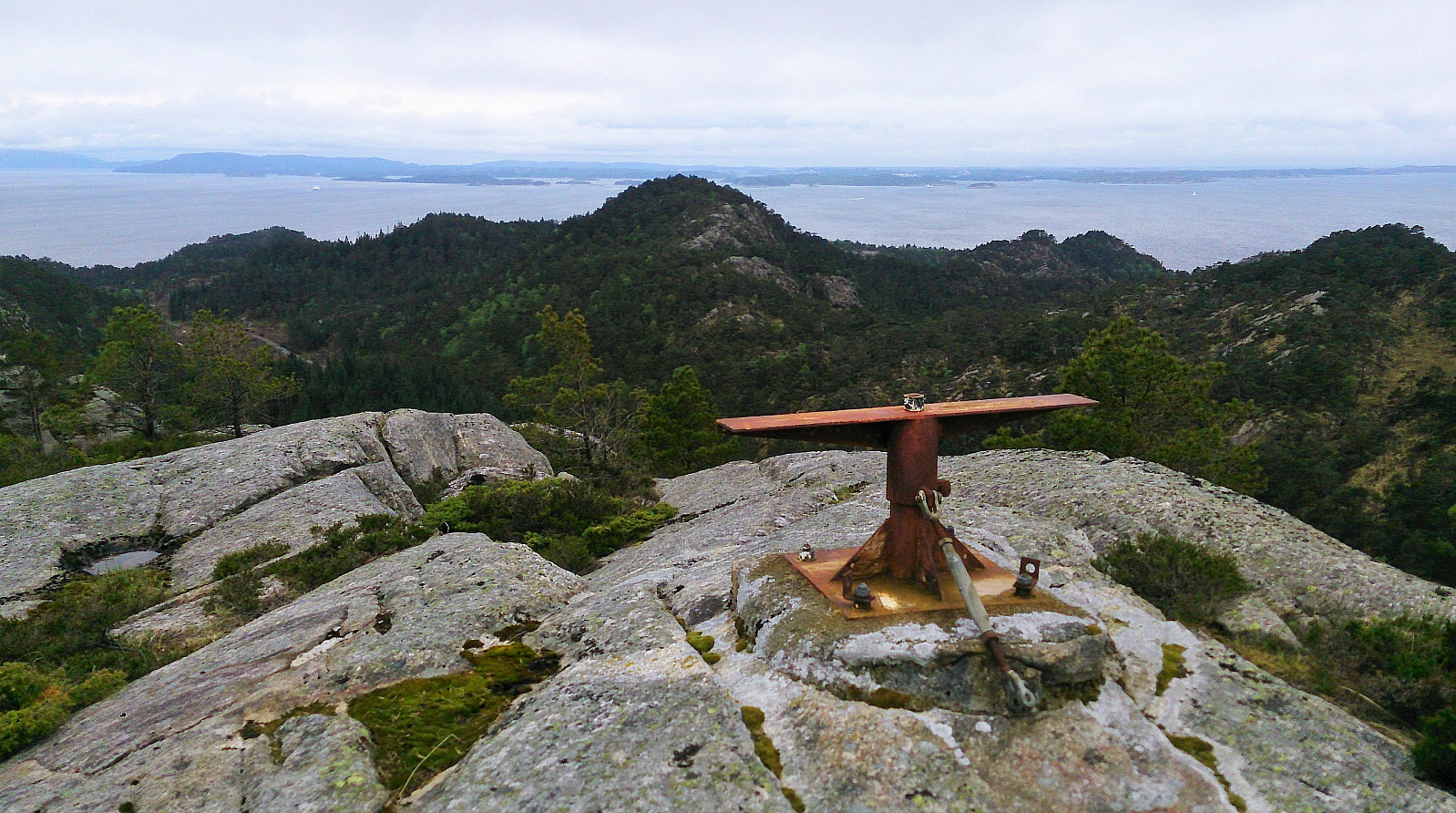
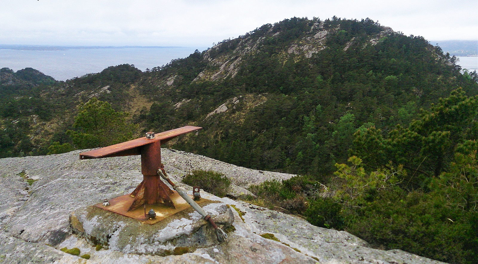
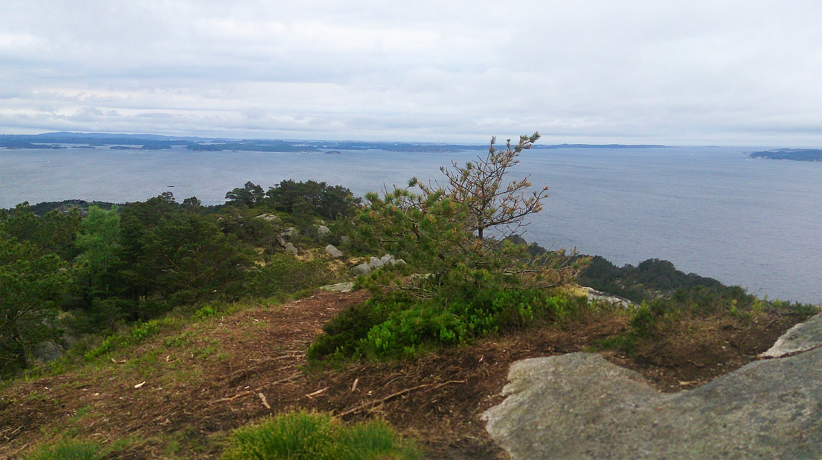
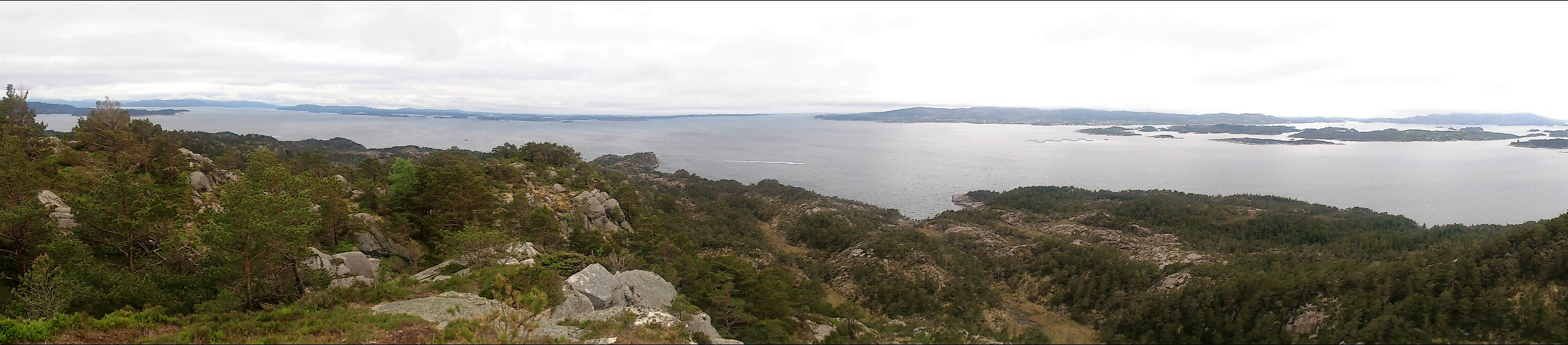
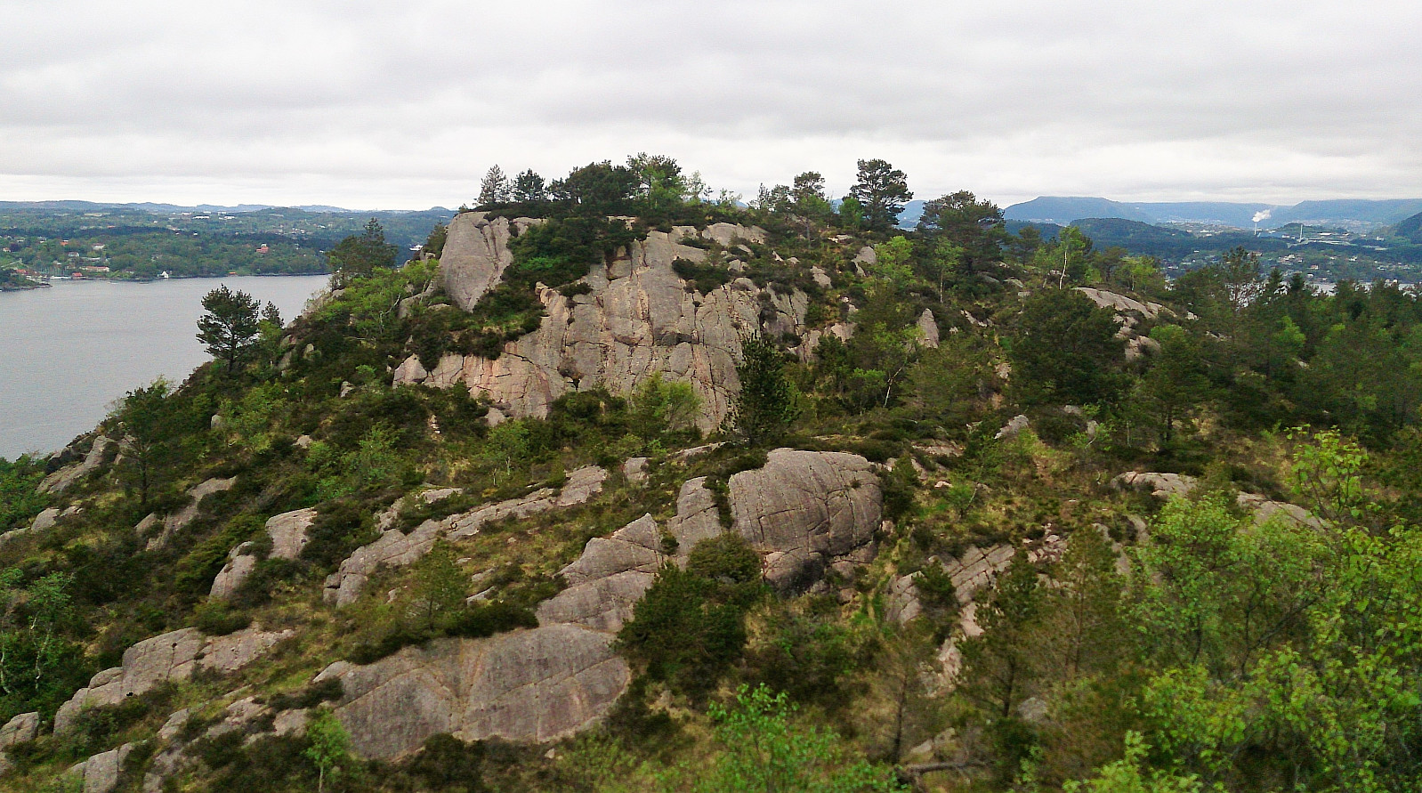
Note that the valley in-between the smaller hill south of Leirvågfjellet and Leirvågfjellet itself is quite steep. One therefore cannot go directly north from the smaller hill, but rather have to ascend Leirvågfjellet from the east. I did just this and easily made it to the top, which had nice views in most directions.
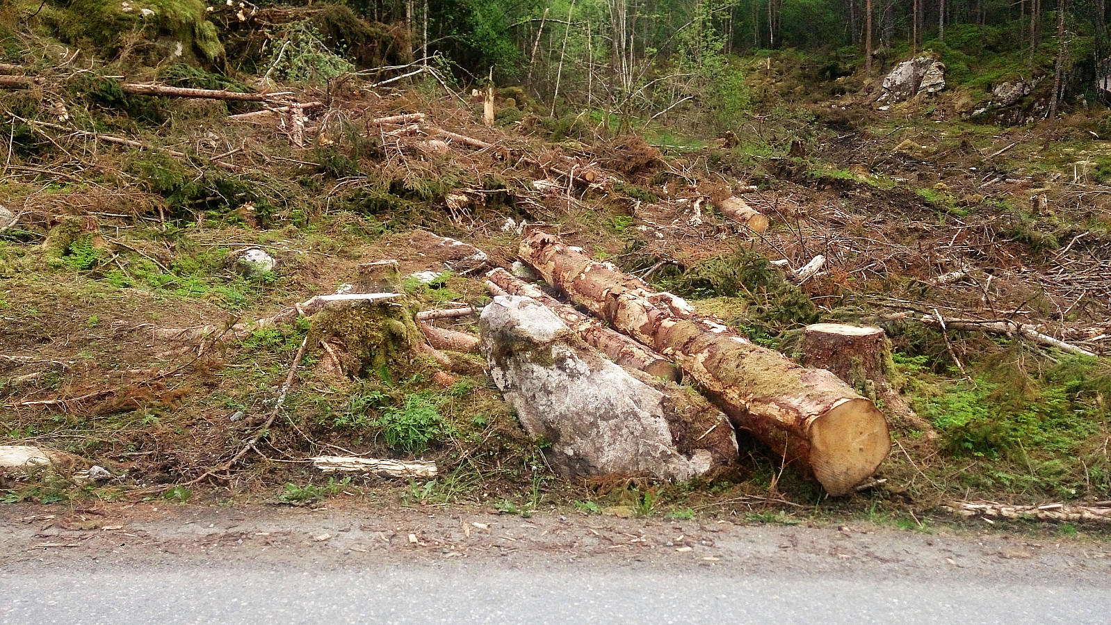
As far as I could find, there were no clear trails from Leirvågfjellet towards Veten (or really in any direction). I therefore had two choices, either continue north and then turn west, or have a go at the already mentioned valley to the south of Leirvågfjellet. The latter seemed like the shortest option, and after a quick inspection of the valley from above, I started my descent. This involved a bit of light climbing, but nothing that could not easily be traversed. There were also lots of bushes and trees to go over/under/through. The last stretch towards the gravel road included new obstacles in the form of lots of leftovers from lumber work, i.e. lots of branches, tree stubs and mud to navigate.
Next, I continued north along Korsnesvegen, searching for a trail towards Veten that is not indicated on the map, but that I thought I remembered seeing in various trip reports. Again the start of the trail was not marked, but if you keep looking left into the woods when walking north it should not be too difficult to locate. The trail started quite steep, but soon flattened out and could easily be followed all the way to the summit.
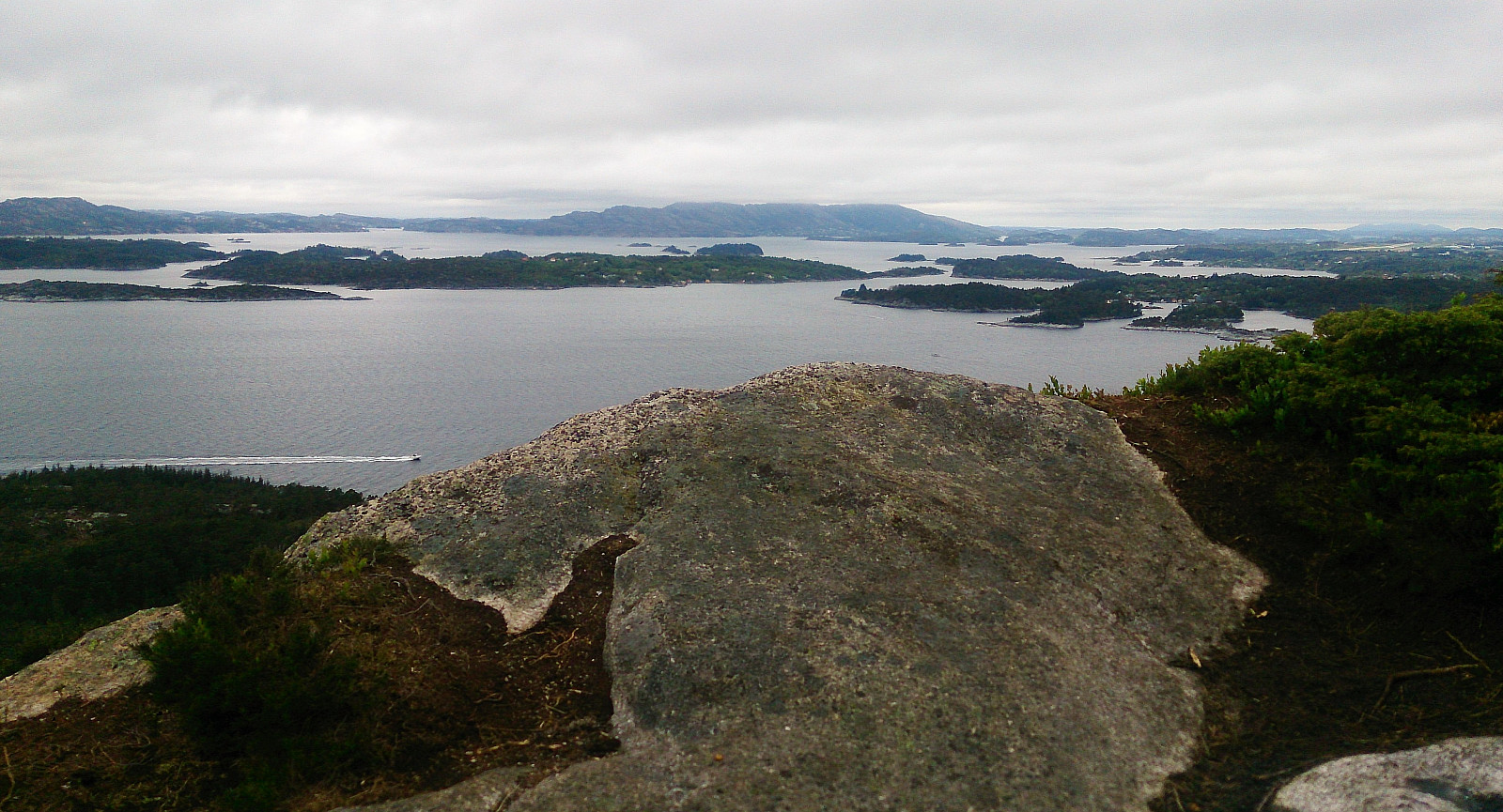
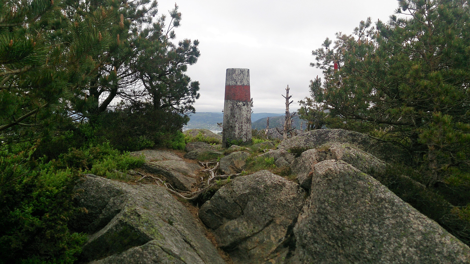
The summit of Veten consists of two peaks, with the trig marker located on the eastern one. This one had limited views though, and one should definitely also visit the western peak, which had spectacular views towards the sea (that would most likely have been much improved with nicer weather).
From the summit of Veten I followed the trail south, which quickly turned east and reconnected with Korsnesvegen. My plan was now to locate the trail taking me back east alongside Moldstigahaugen (i.e. the trail I left earlier when heading for Leirvågfjellet). I started walking north looking for any markings of a trail, and almost got to the valley I descended earlier, before turning back south. I then made it all the way back to where the trail came down from Veten before locating a very faint trail towards the east. Yet again there were no clear markers for the start of the trail, but the trail quickly improved and the colored trail markers returned, and I quickly arrived at the familiar tractor road.
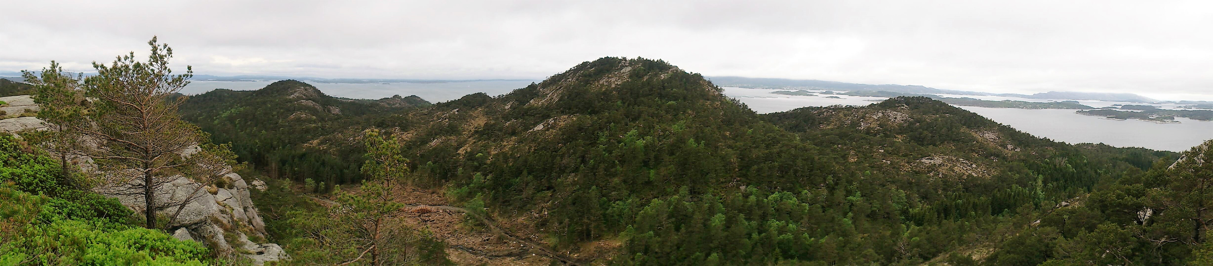
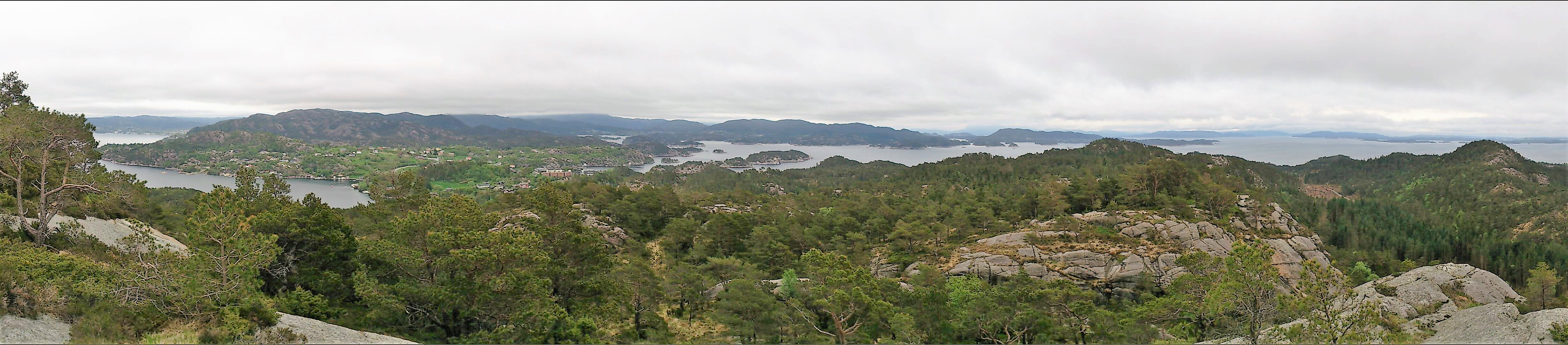
The final goal of the day was Storafjellet, and I therefore followed Krokeidevegen until taking the road Svartefjorden northwest. The trail towards Storafjellet started right after the road up to Svartefjorden 21, and can be easily followed all the way to the summit, mainly along the ridge. The summit provided very nice views both towards the west and north.
From the summit of Storafjellet the trail continued north, but towards the end it either disappeared completely, or I made a wrong turn somewhere. By this time I was almost down to main road anyway, so I simply made my own shortcut down to Botnegrenda and on to Krokeidevegen. The plan was to take the bus from here, but as it was 15 minutes until the next bus, I concluded the hike by continuing north to Rød instead.
All in all, a nice hike with excellent views that can be highly recommended, and except for the poor trails to and from Leirvågfjellet, all the trails were easy to follow, as soon as one managed to locate the starting point that is... ;)
| Start date | 20.05.2017 14:51 (UTC+01:00 DST) |
| End date | 20.05.2017 17:40 (UTC+01:00 DST) |
| Total Time | 2h 48min |
| Moving Time | 2h 41min |
| Stopped Time | 0h 7min |
| Overall Average | 3.1km/h |
| Moving Average | 3.2km/h |
| Distance | 8.7km |
| Vertical meters | 500m |


User comments