
Askøy-cycling with Åsebøåsen (14.05.2017)

Skrevet av HHauser (Helwig Hauser)

| Startsted | Varden (45moh) |
|---|---|
| Sluttsted | Varden (45moh) |
| Turtype | Blandet sykling |
| Turlengde | 3t 30min |
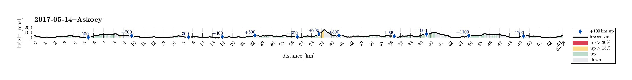
| Distanse | 53,4km |
| Høydemeter | 1289m |
| GPS |
|
| Bestigninger | Ospåsen (168moh) | 14.05.2017 |
|---|---|---|
| Andre besøkte PBE'er | Åsebø p-plass (44moh) | 14.05.2017 |
Trip Summary
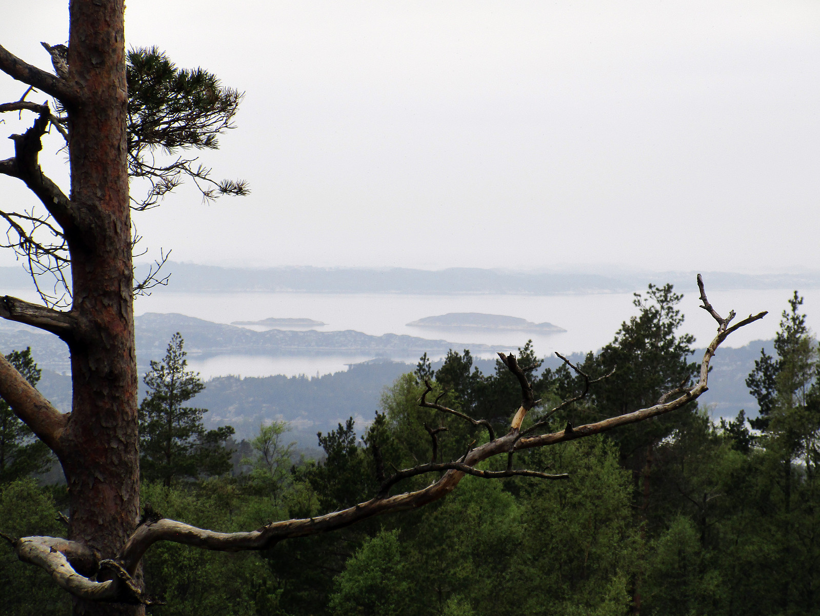
I took my bicycle from Varden in the southwest of Fyllingsdalen and followed first Bjørgeveien towards Loddefjord. Shortly before getting there, I first thought to take the pedestrians' bridge over Lyderhornveien in order to get to Bjørndalsbakken. I was mislead, there, however, since the according signs were crossed out. Thus, I thought that I had no other choice than to use Lyderhornveien in order to get to Loddefjord (not the nicest street to cycle). From Loddefjord, I continued along Lyderhornveien in northern direction (here it's fully OK to cycle), until I got to Kjøkkelvikveien, which I followed further northwards. Via Krabbedalsflaten, I got further to Sundby Hvorups vei, which I cycled upwards and over a minor top in order to connect to the big Askøy-bridge (only possible for pedestrians and cyclists from this side). I then crossed the bridge northwards towards Askøy and followed the street down to Kleppestø. From there, I continued along road #563 in northern direction along Byfjorden. At Erdal, I continued along road #563 northwards. Shortly after (right after passing by Olavika), I saw a sign that directed me to a small road, leading to a recreational area called Solneset. I made a quick detour to explore the place and indeed this is a very nice area! :-) Back on the "main road" (#563), I continued further northwards, passing by Ask shortly after. Eventually, I rounded Askevatnet, arriving at Hanevik soon after that, where road #563 connects with (the bigger) road #562 (at Asbø). Before heading back (along road #562) from there, I made a quick detour up to a small top right there, Åsebøåsen (I cycled up a bit, then I walked). Back on my bike, I descended to road #562 and followed it southwards. Due to more traffic along this road (and limited space), cycling there was not the nicest part of this trip. I passed by Ragnanger and Haugland and at about Norddal, I left road #562 and connected to road #216 (Kleppevegen). This brought me back to Kleppestø and from there, I basically followed the same route back to Varden than what I had taken in the beginning. All in all, this was a (partially^) enjoyable bike-trip (with a small excursion to one of the smaller tops on Askøy). :-)
^ So many roads are narrow (in Norway and especially also around Bergen) and car drivers are not always patient and generate dangerous situations, when passing by (without the possibility to leave enough space)...
Photos
Selected photos are available as Google photo album.
Useful Resources
See also the related FB-page Hiking around Bergen, Norway.
Petter Bjørstad has a useful page about Ospåsen and also web page WestCoastPeaks.com provides useful information about Ospåsen (Åsebøåsen).


Kommentarer