
Stendafjellet and Skeisåsen from Lagunen (07.05.2017)

Written by hbar (Harald Barsnes)

| Start point | Lagunen (43m) |
|---|---|
| Endpoint | Lagunen (38m) |
| Characteristic | Hillwalk |
| Duration | 2h 47min |
| Distance | 9.8km |
| Vertical meters | 394m |
| GPS |
|
| Ascents | Skeisåsen (127m) | 07.05.2017 |
|---|---|---|
| Stendafjellet (232m) | 07.05.2017 | |
| Visits of other PBEs | Krohnåsen søyle (207m) | 07.05.2017 |
Stendafjellet and Skeisåsen from Lagunen
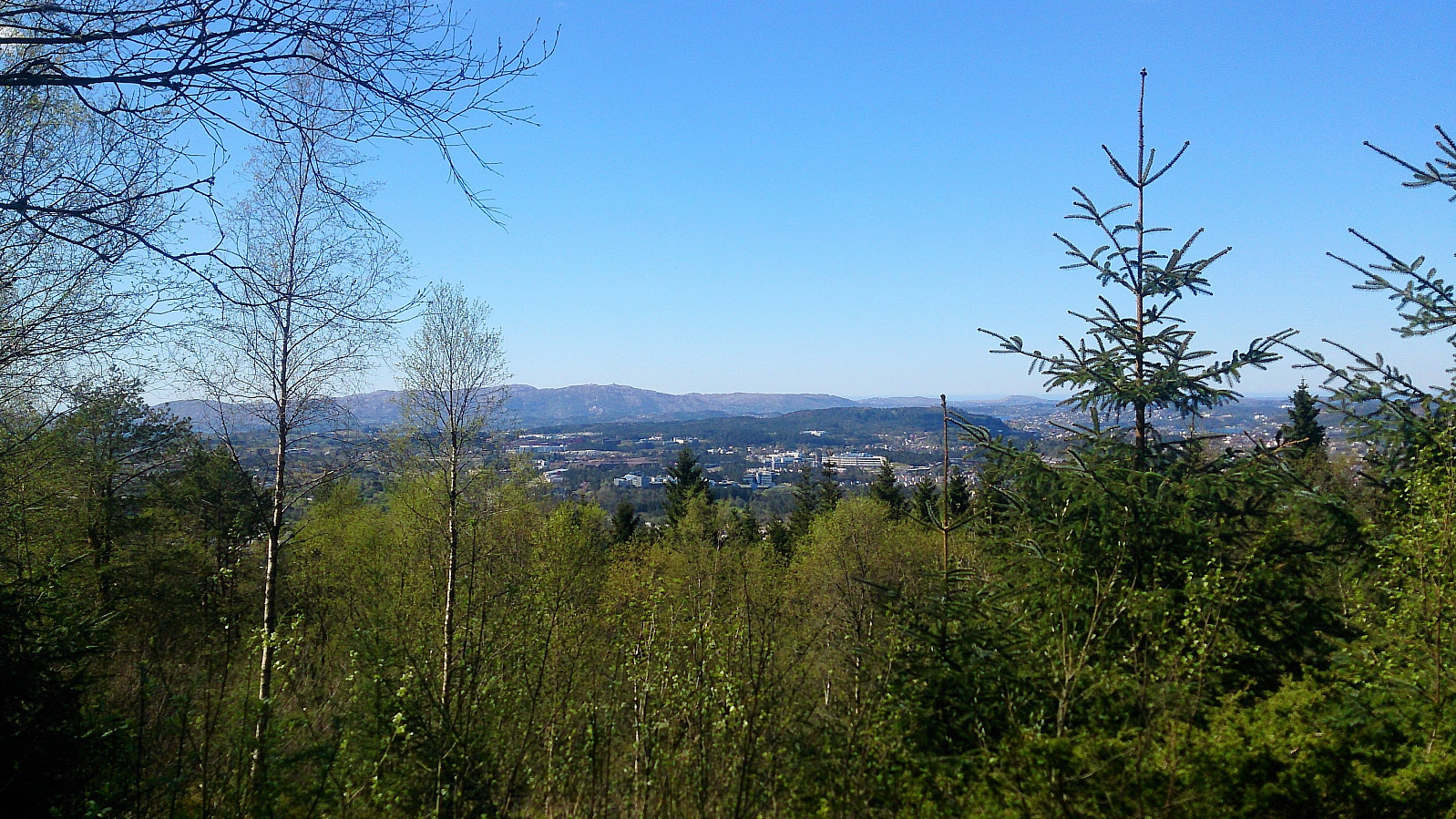
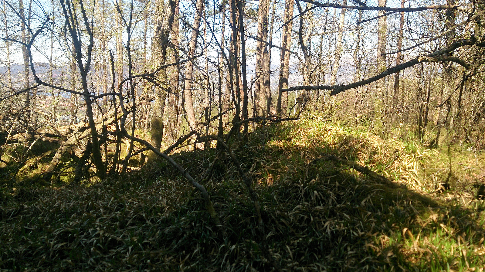

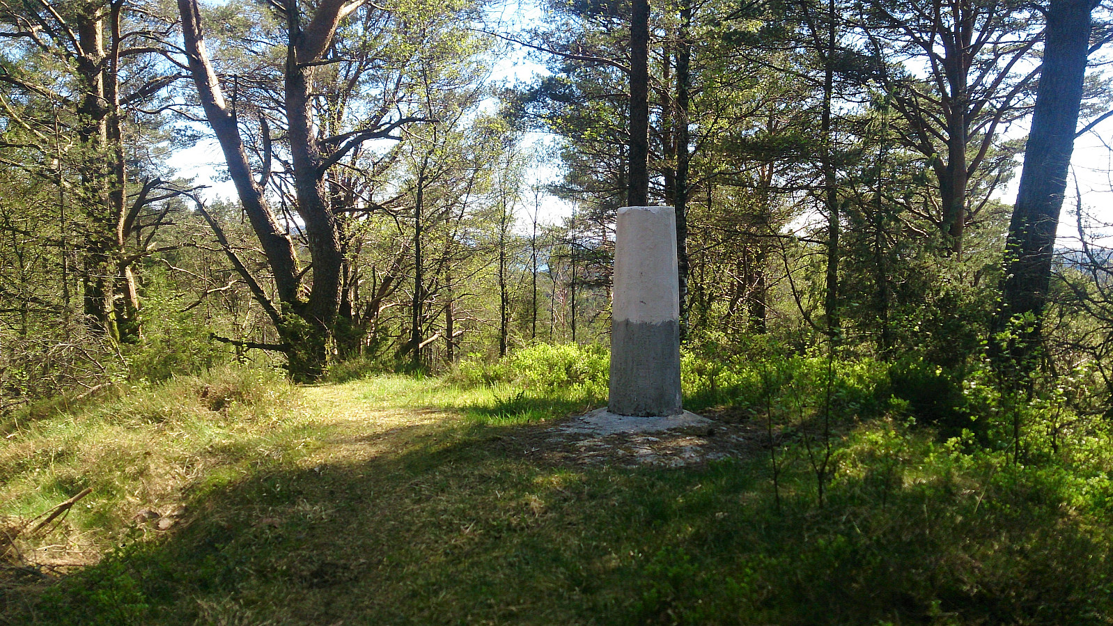
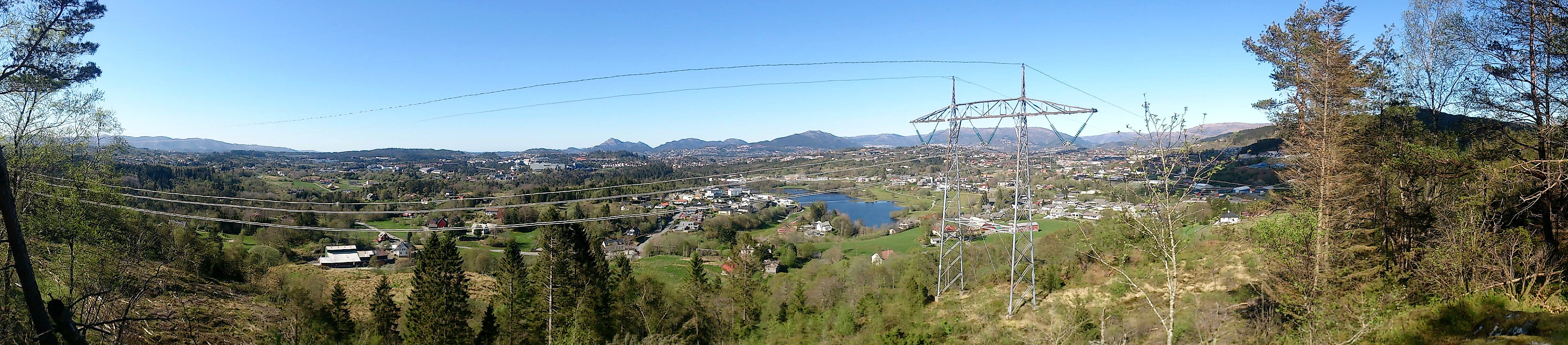
Started by taking Bybanen to Lagunen and walking southeast to Øvre Krohnåsen, following the road and later gravel road towards the summit of Stendafjellet. When getting close to the summit I started looking for trails to the west and found one that took me to a trig marker north of the summit (see picture). I then followed the same trail south, assuming it would take me to the summit. However, I thought I would pass by both summits of Stendafjellet, and therefore left the trail to hunt for the northern summit. This turned out to be in the middle of a quite dense forest with no views and, in my opinion, not really worth a visit. I therefore quickly moved on to the southern summit, which was a lot nicer and had much better views, particularly southwest across Fanafjorden.
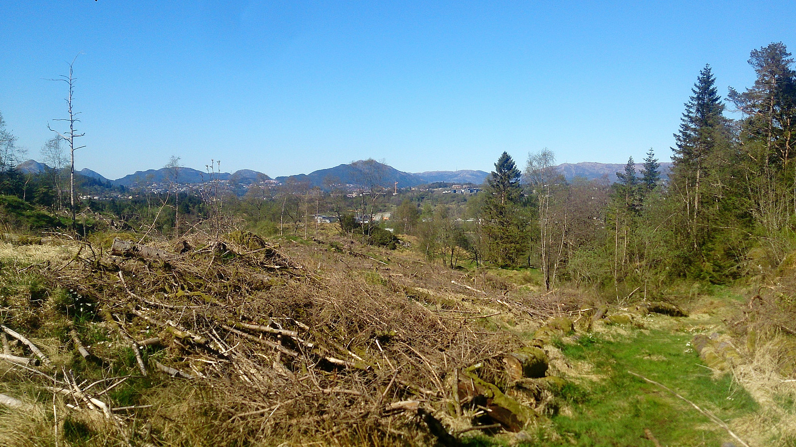
From the summit of Stendafjellet I continued west. Initially thinking there would be an even better view in that direction, but this was not the case, and I instead ended up following this trail all the way down to the main road at Stend. This area had lots of trails and it was sometimes difficult to figure out which one to follow, and I'm pretty sure there are quicker options than the one I used.
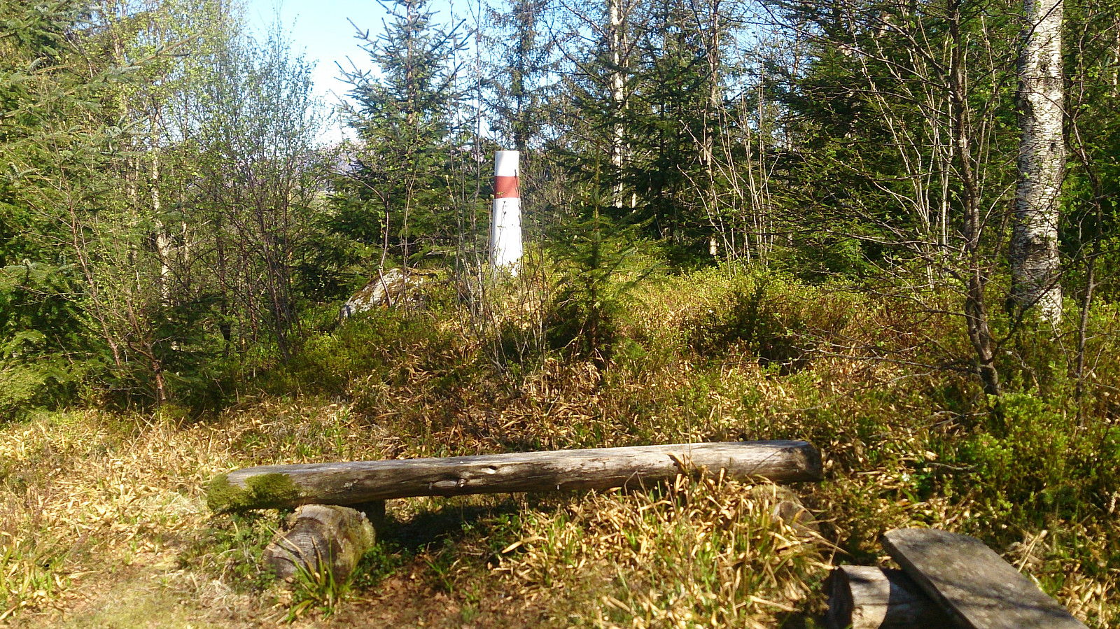
Next, I walked up Hordnesvegen and then Skeivegen to arrive at the Hordnesskogen parking lot. From there I followed the gravel roads until locating a trail north in the direction of Skeisåsen. Even though there were no trails going all the way to the summit of Skeisåsen indicated on the map, these trails do exist and were easy to follow. From the summit I continued north to get better views, as there were close to no views from the summit, before returning back across the summit to the south, following a trail that quickly turned north and brought me down to Grimseidvegen. The hike was completed by walking along Grimseidvegen, and later highway 580, to Lagunen for Bybanen back the city center. All in all, a nice hike, but with limited views, except for at the summit of Stendafjellet.
| Start date | 07.05.2017 14:12 (UTC+01:00 DST) |
| End date | 07.05.2017 16:59 (UTC+01:00 DST) |
| Total Time | 2h 47min |
| Moving Time | 2h 36min |
| Stopped Time | 0h 11min |
| Overall Average | 3.5km/h |
| Moving Average | 3.8km/h |
| Distance | 9.8km |
| Vertical meters | 394m |


User comments