
Solbakkefjellet from Kalandseidet (01.05.2017)

Geschrieben von hbar (Harald Barsnes)

| Startpunkt | Kalandseidet (76m) |
|---|---|
| Endpunkt | Sandven (66m) |
| Tourcharakter | Bergtour |
| Tourlänge | 5h 04min |
| Entfernung | 16,5km |
| Höhenmeter | 755m |
| GPS |
|
| Besteigungen | Solbakkafjellet (459m) | 01.05.2017 |
|---|---|---|
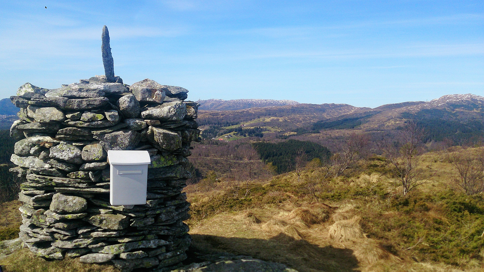
| Besuche anderer PBE | Varden på Solbakkafjellet (456m) | 01.05.2017 |
Solbakkefjellet from Kalandseidet
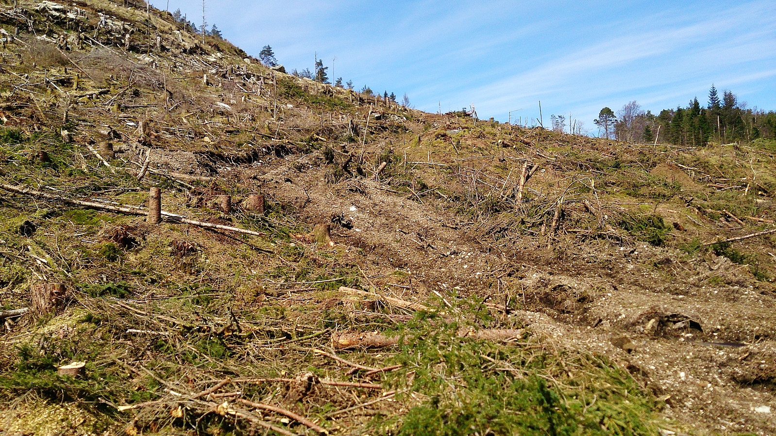
Started by taking the bus to Kalandseidet and walking up Hausdalsvegen, but quickly took a shortcut north that was indicated on the map. The shortcut started ok, but quickly turned worse and is probably not recommended in wet conditions. It soon connected with a gravel road though, and perhaps it would have been simpler to rather follow the gravel road until the start of the trail towards Solbakkefjellet.
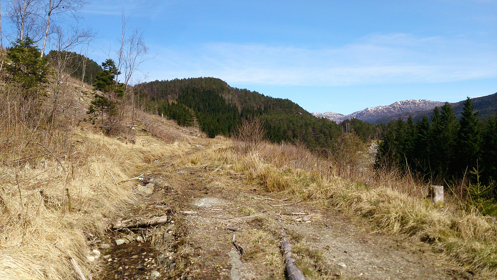
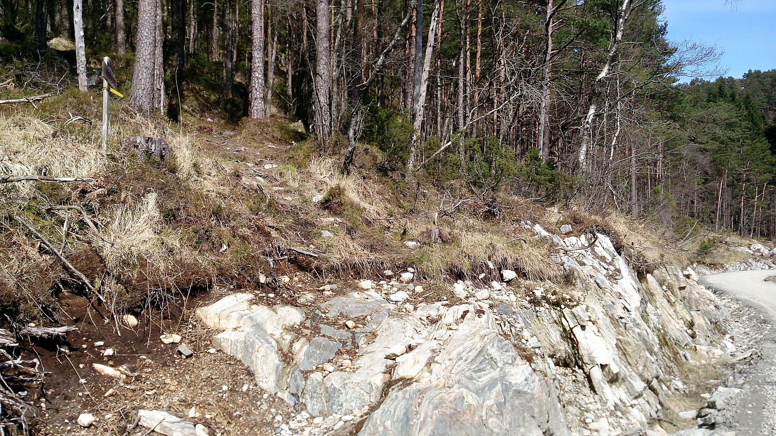
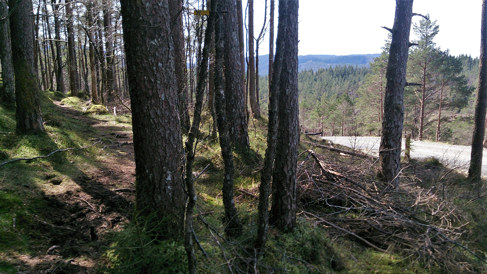
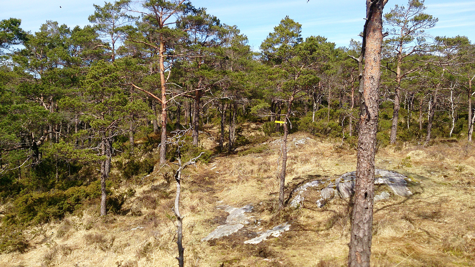
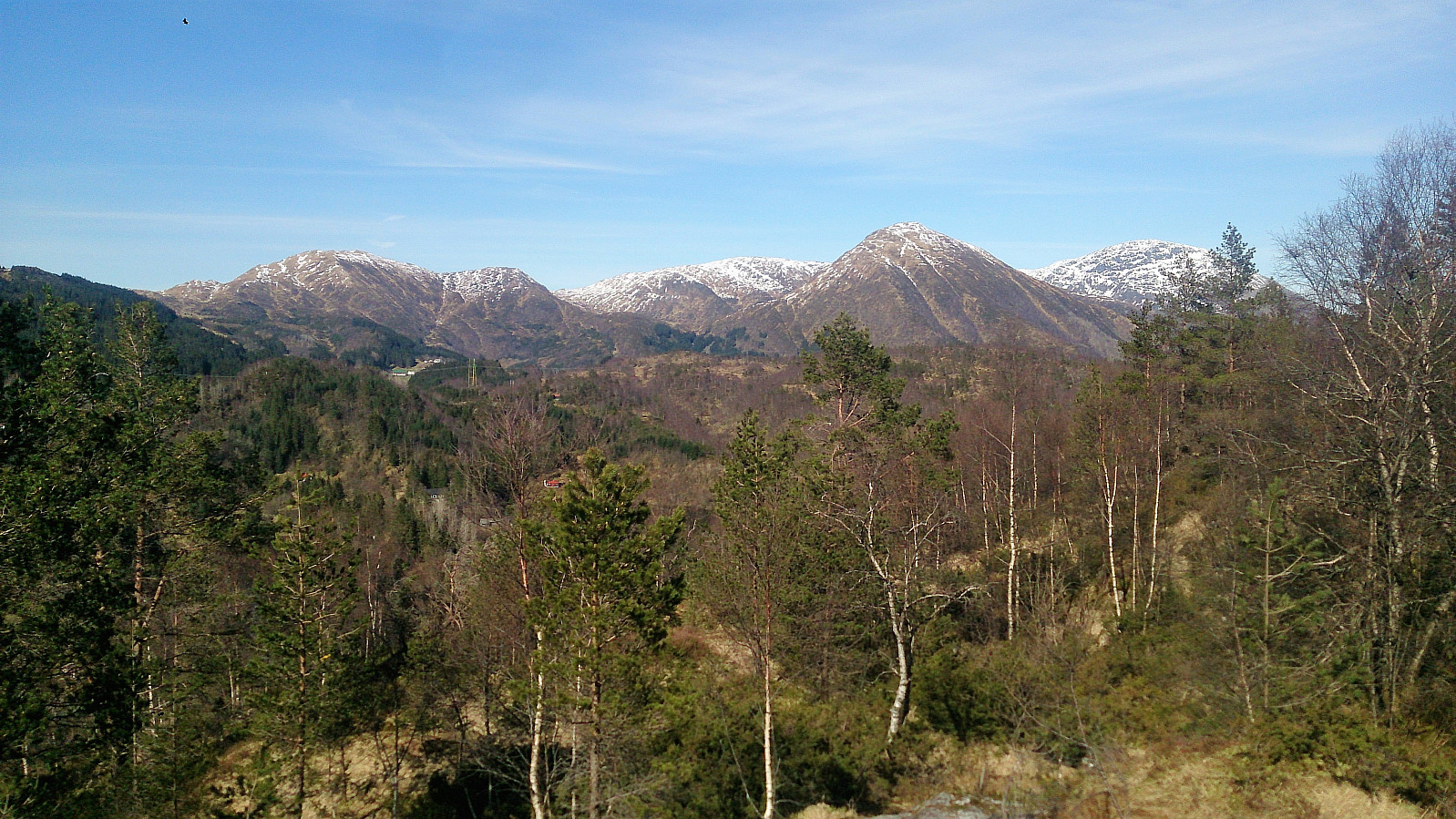
The start of the marked trail was easy to locate and I followed this trail all the way to the summit. In the beginning I felt a bit stupid though, as the trail and gravel road followed each other pretty closely at times (see picture). However, the two thankfully parted ways after not too long, and from there on the trail continued along the ridge of the mountain in a beautiful pine forest. The trail itself was very nice with only a couple of muddy sections.
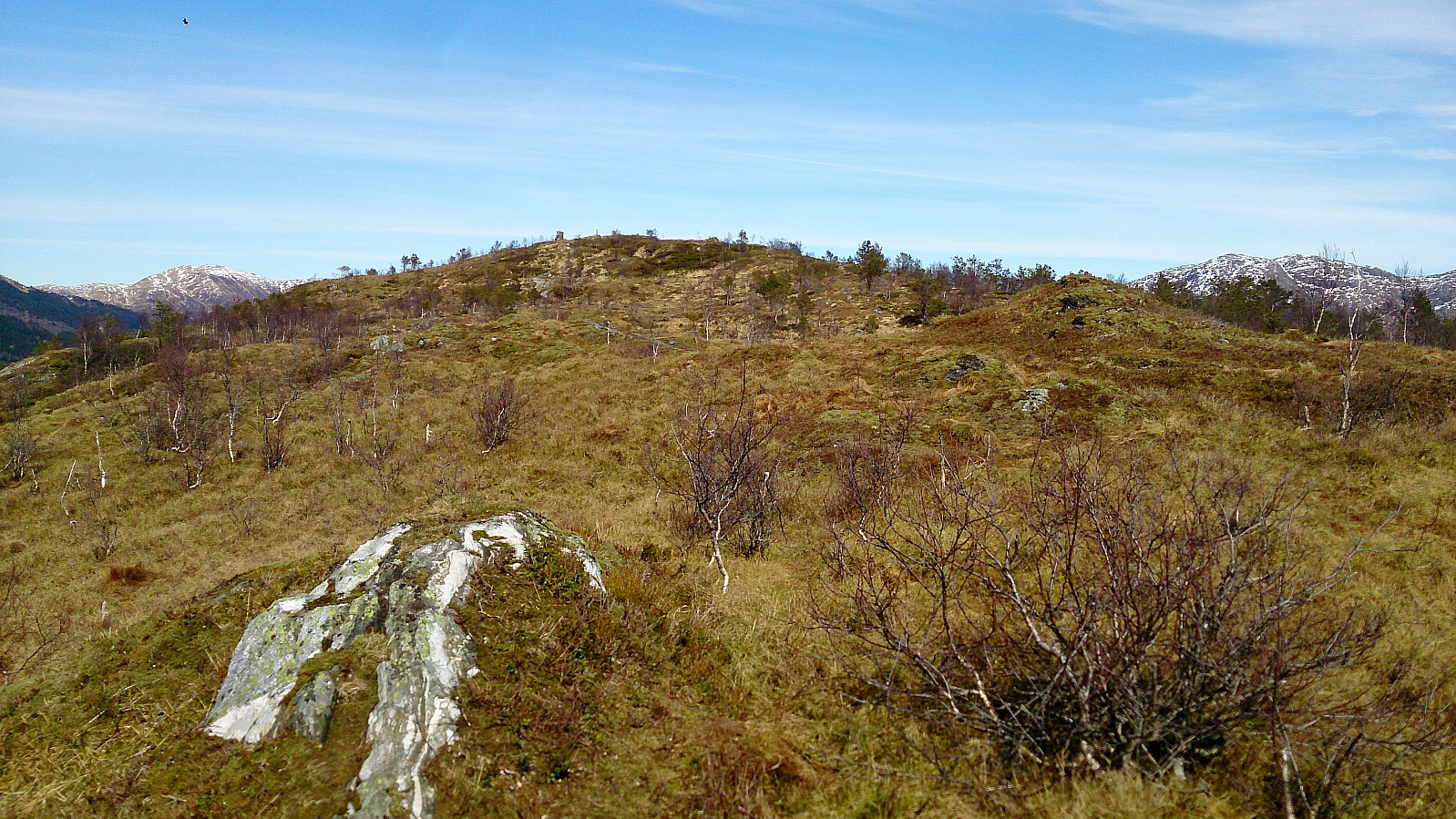
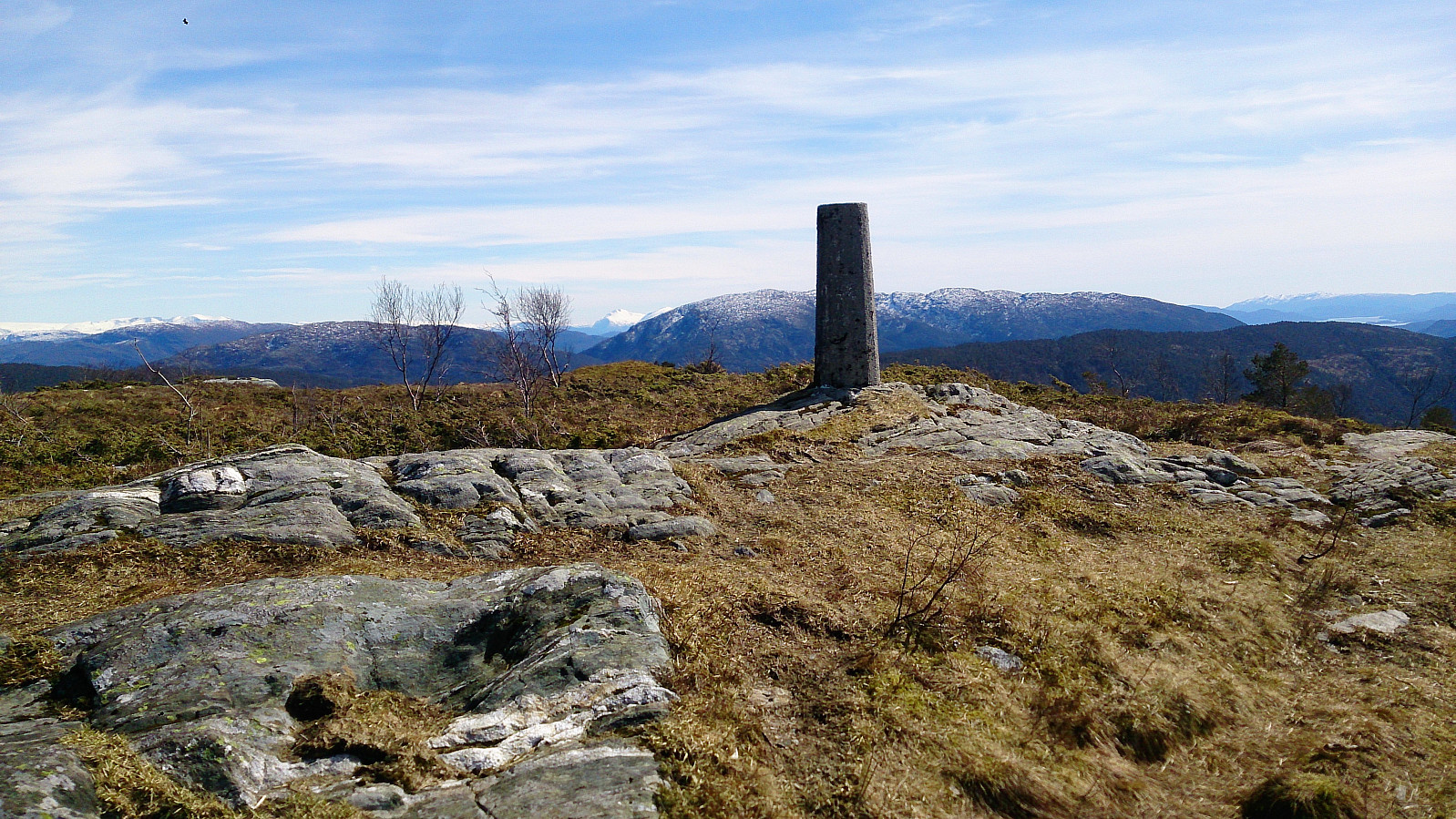
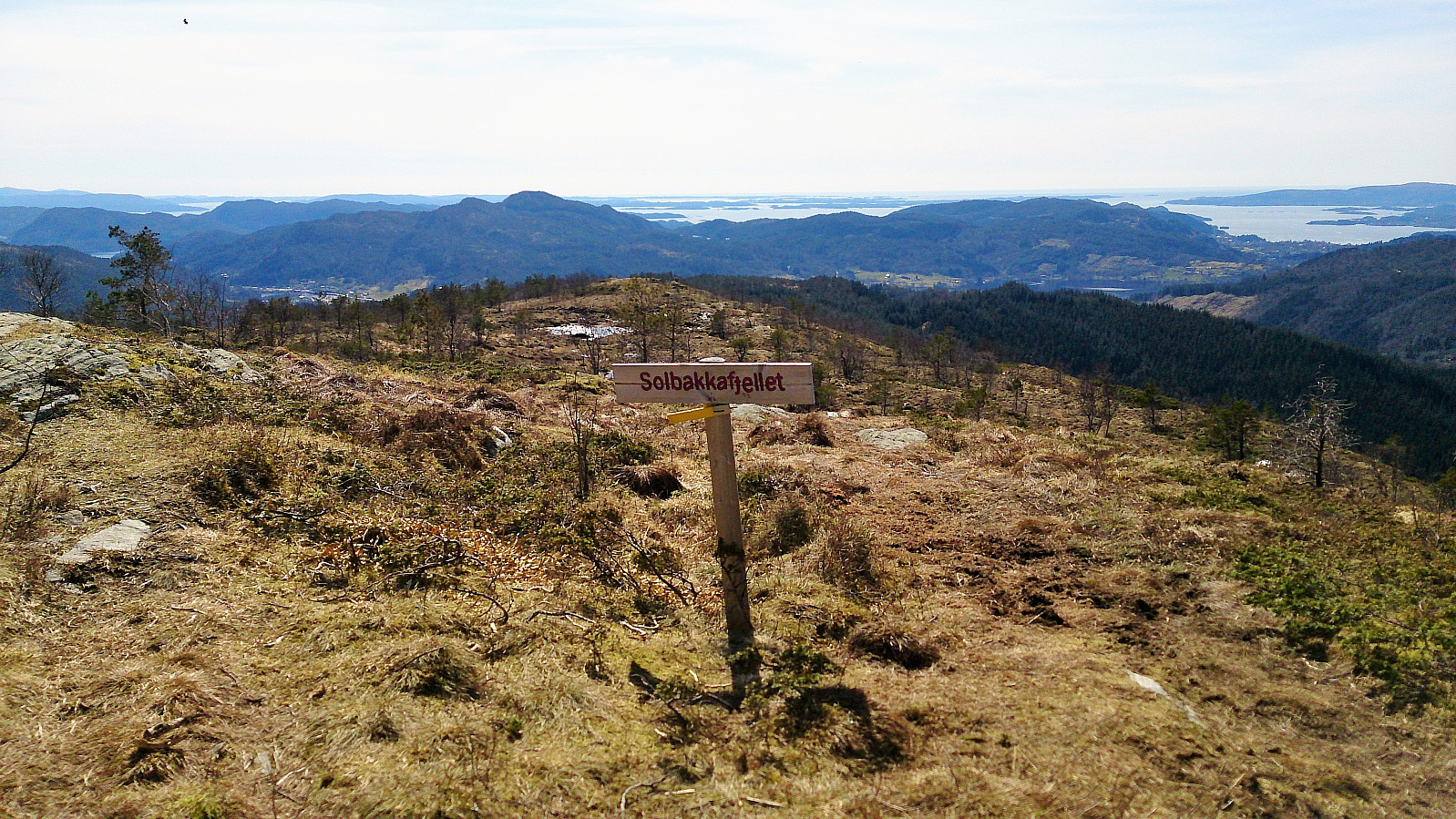
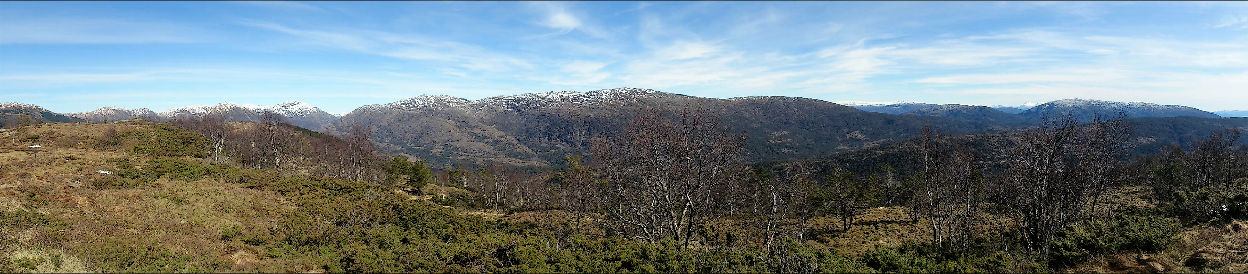
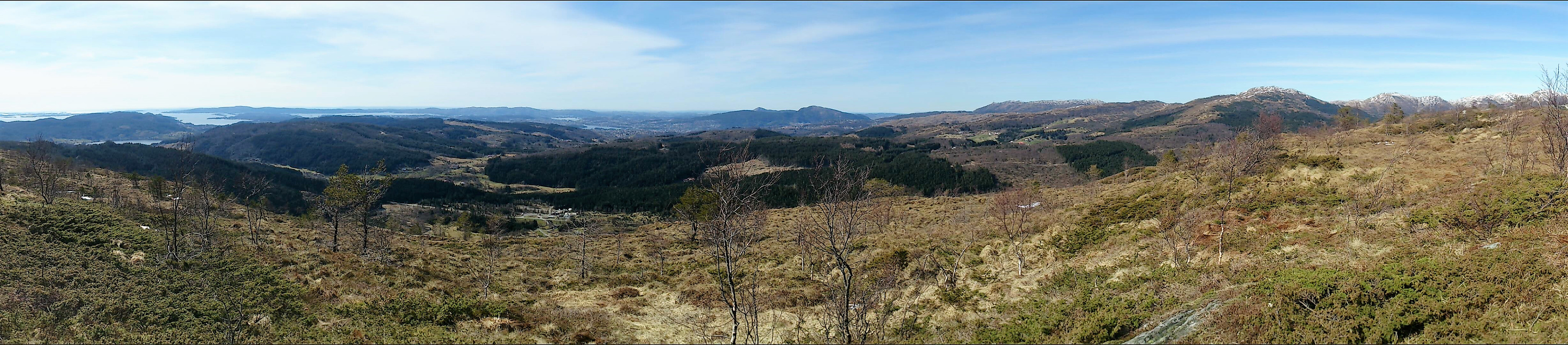
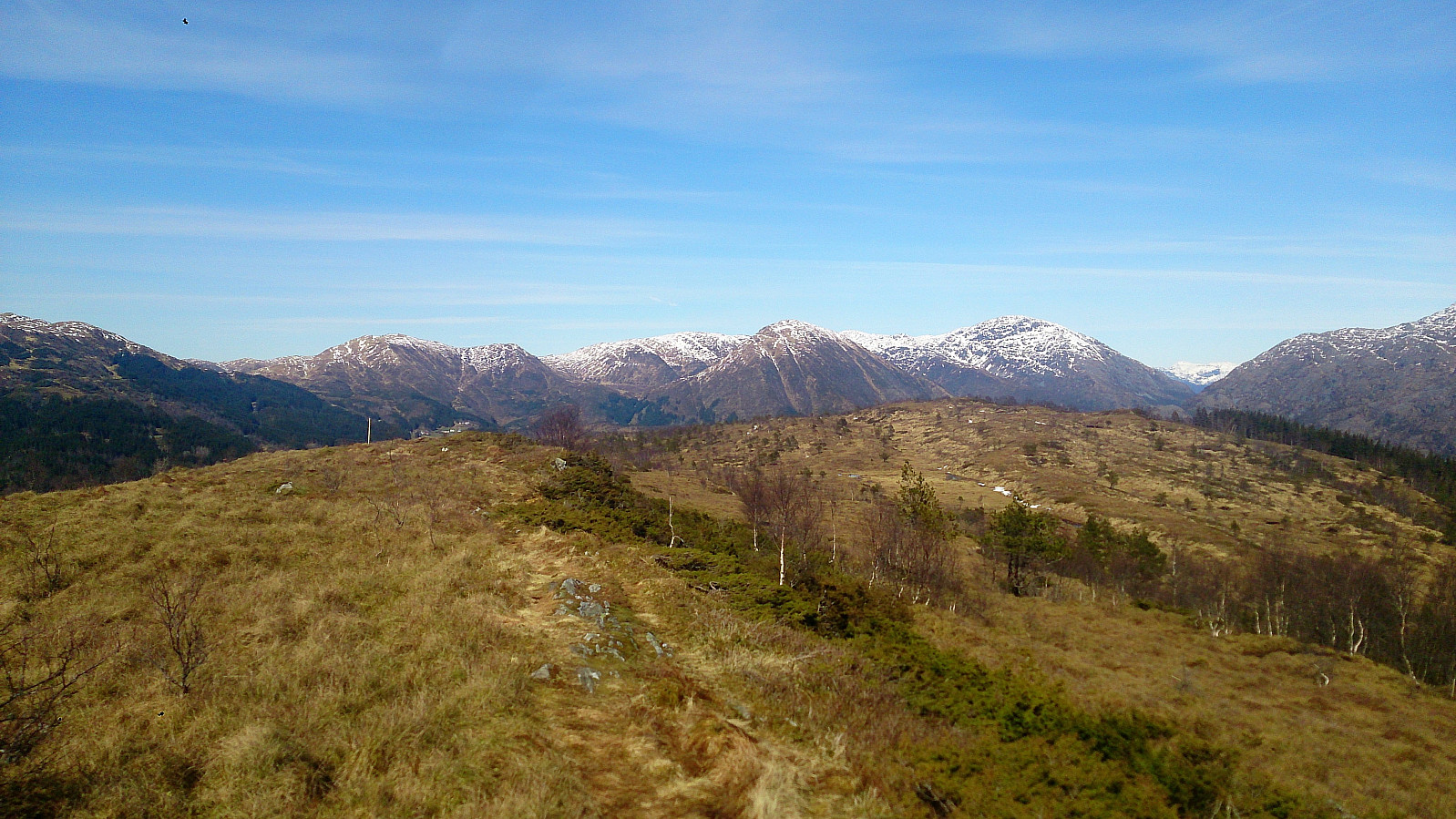
The summit of Solbakkefjellet provided spectacular views in all directions. Definitely very highly recommended! After a long break at the summit enjoying the views, I continued north along the trail towards Frotveitvatnet. This trail was much worse than the trail used on the ascent, mainly consisting of wet and muddy areas.
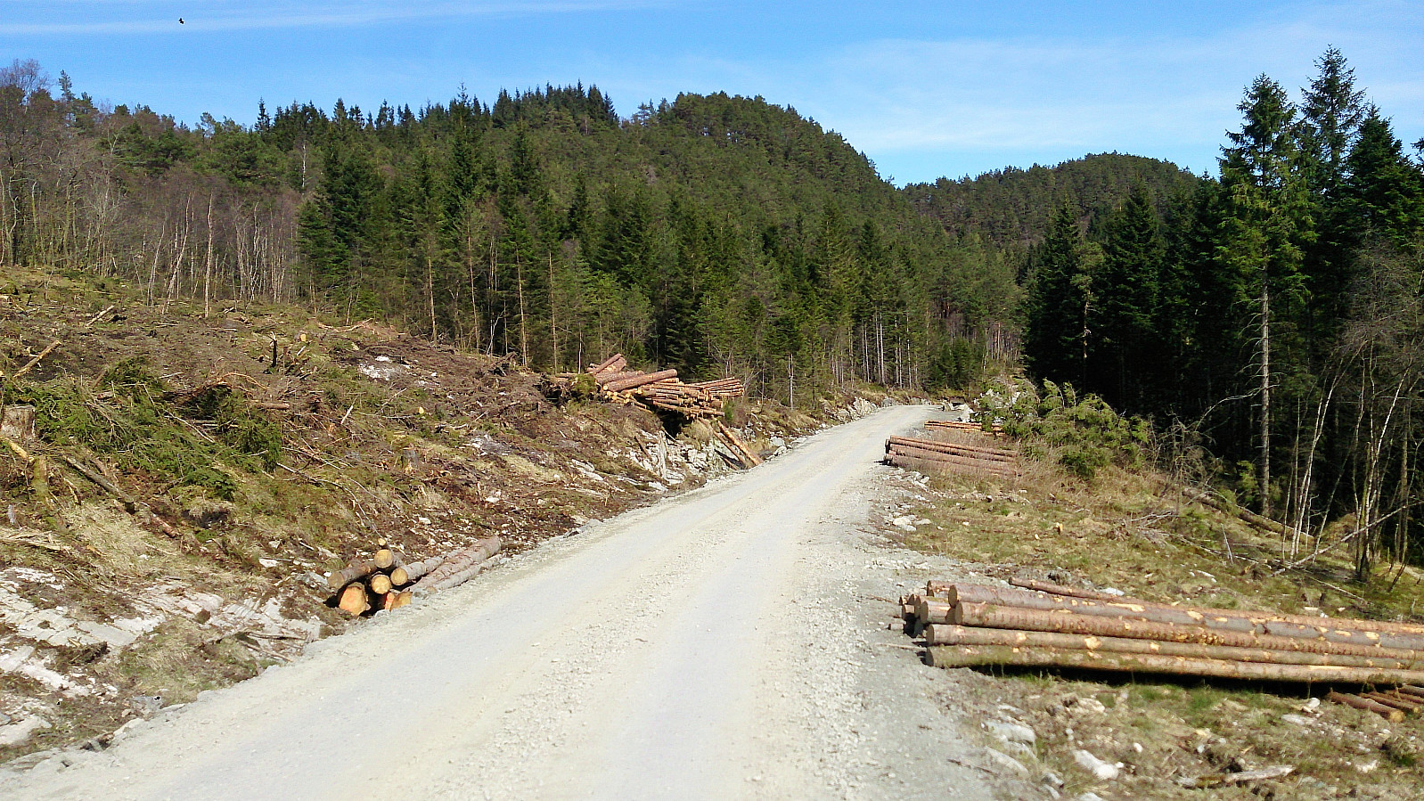
Instead of walking all the way to Frotveit and following Bontveitvegen back to the main road, I rather decided to try the gravel roads on the west side of Solbakkefjellet. But while the gravel roads where easy to follow, the limited views due to dense forest on both sides of the road, turned this into a rather boring part of the hike. Getting tired of the gravel roads, I therefore made a short detour via a tractor road indicated on the map. This was not a good idea though, as the tractor road had not been used in years, and the progress was significantly slower than on the gravel road and with even less views. I therefore found my way back to the gravel road as soon as possible.
Towards the end of the gravel road I turned east over Bjøllehaugane, before reaching Bontveitvegen which I followed down to the highway. There I figured out that the next bus was not until 25 minutes later, so I completed the hike by walking along Kalandsvatnet and E39 to Sandven for the bus back to the city center.
To conclude, with the exception of the shortcut at the beginning of the hike, the hike up to Solbakkefjellet can be warmly recommended! I would recommend skipping my return route via the gravel roads and rather make a U-turn at the summit though.
| Startzeitpunkt | 01.05.2017 13:23 (UTC+01:00 SZ) |
| Endzeitpunkt | 01.05.2017 18:28 (UTC+01:00 SZ) |
| Gesamtzeit | 5h 04min |
| Zeit in Bewegung | 4h 14min |
| Pausenzeit | 0h 49min |
| Gesamtschnitt | 3,3km/h |
| Bewegungsschnitt | 3,9km/h |
| Entfernung | 16,5km |
| Höhenmeter | 755m |


Benutzerkommentare