
Brakstadfjellet, Tveitanipa, Røysetfjellet and Storfjellet (22.04.2017)

Skrevet av hbar (Harald Barsnes)

| Startsted | Valde (35moh) |
|---|---|
| Sluttsted | Fløksand (32moh) |
| Turtype | Fjelltur |
| Turlengde | 4t 30min |
| Distanse | 12,4km |
| Høydemeter | 782m |
| GPS |
|
| Bestigninger | Brakstadfjellet (317moh) | 22.04.2017 |
|---|---|---|
| Røysetfjellet (257moh) | 22.04.2017 | |
| Storfjellet (185moh) | 22.04.2017 | |
| Tveitanipa (243moh) | 22.04.2017 | |
| Andre besøkte PBE'er | Vestbygdvegen P-lomme (35moh) | 22.04.2017 |
Brakstadfjellet, Tveitanipa, Røysetfjellet and Storfjellet
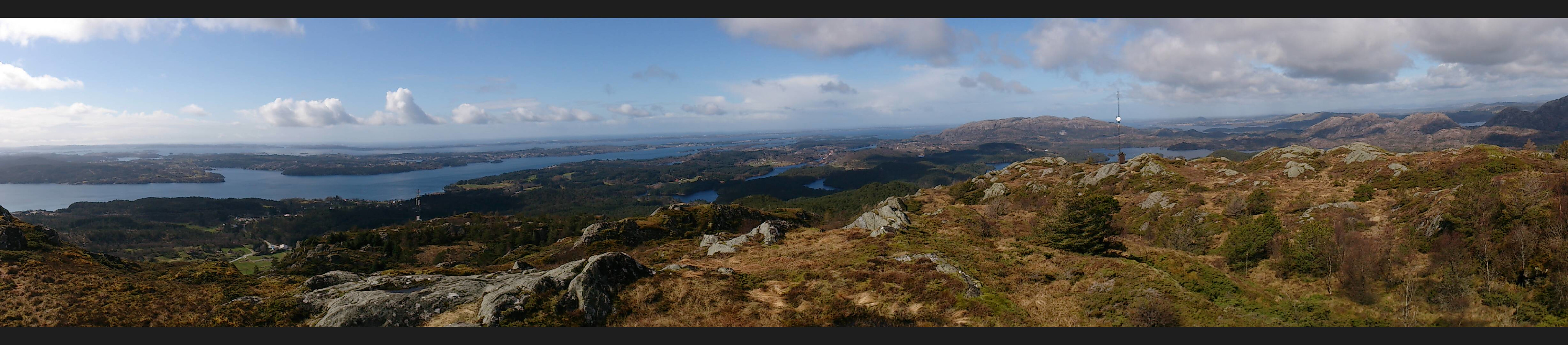

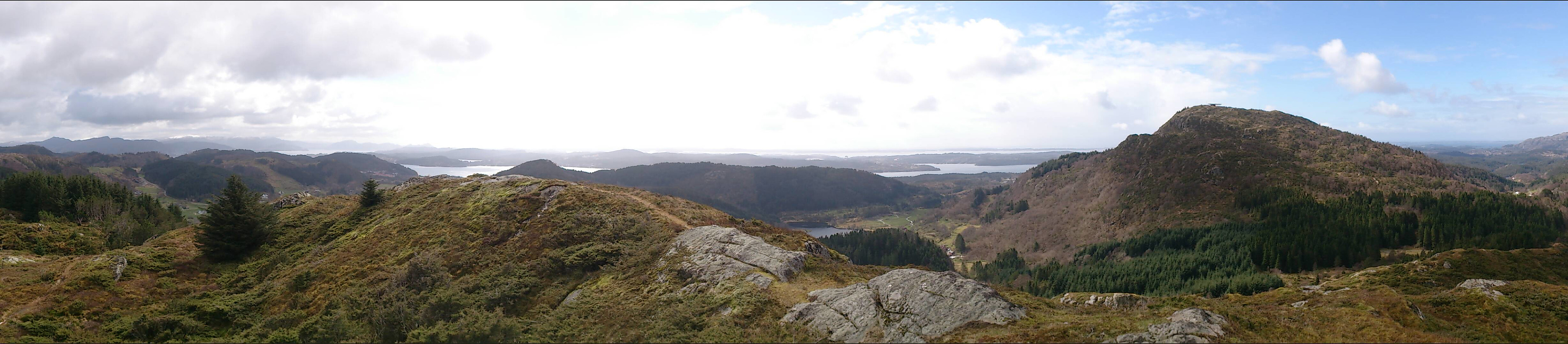
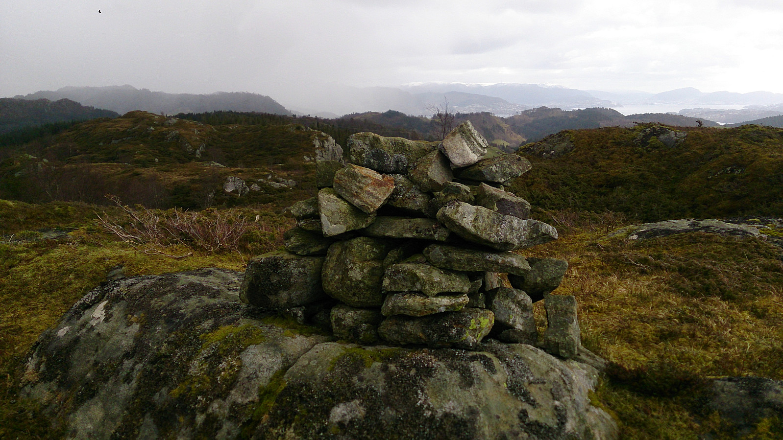
Brakstadfjellet
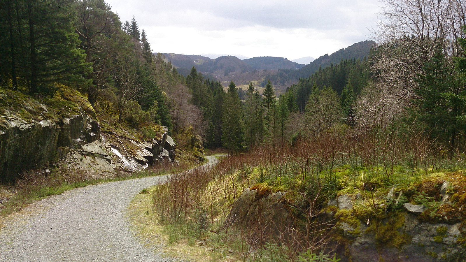
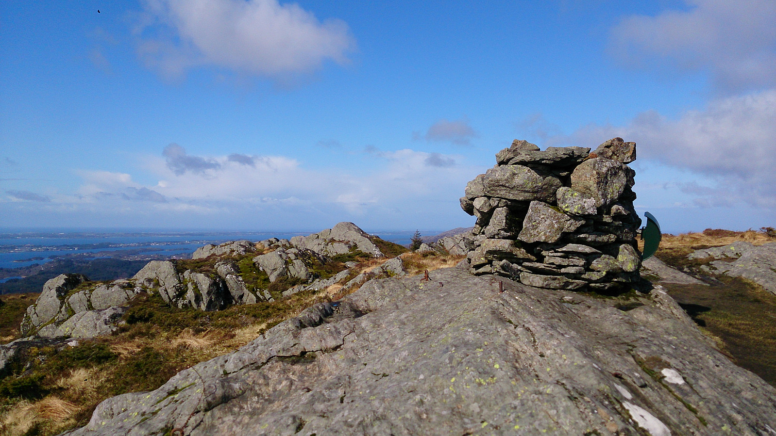
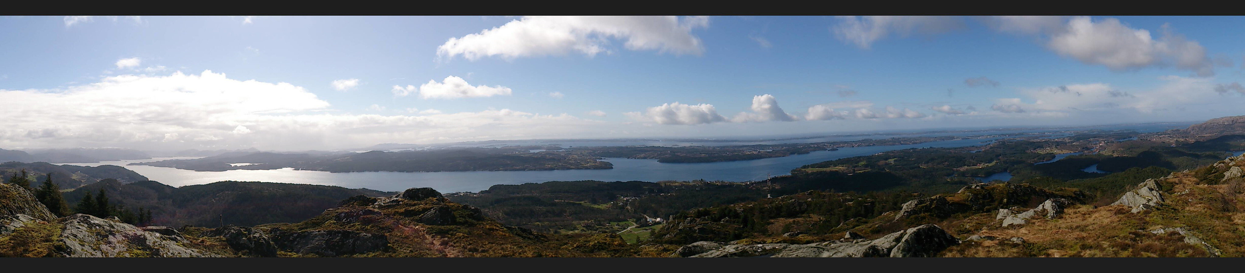
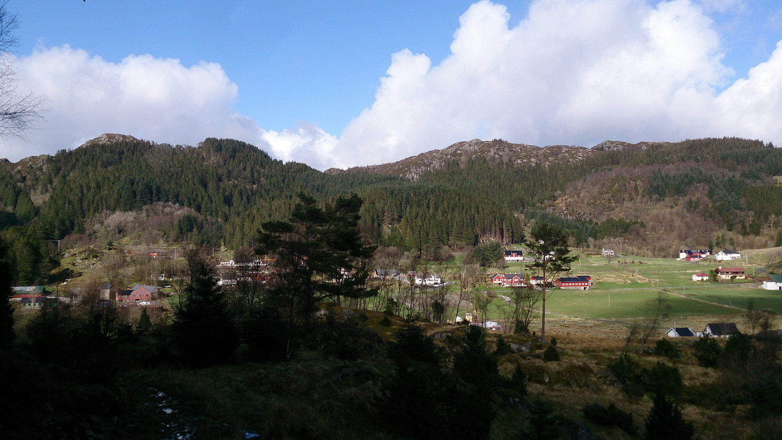
Started by taking the bus (or rather buses, four in total) to Valde (called Vollo on the map) and from there followed a gravel road and later a very muddy trail to the summit of Brakstadfjellet. Excellent views from the summit in all directions! I walked around a bit to see if I could get an even better view to the northeast, but the terrain was not really made for this and in the end the views were not much improved anyway.
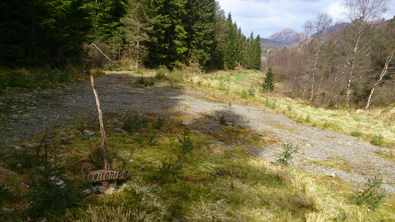
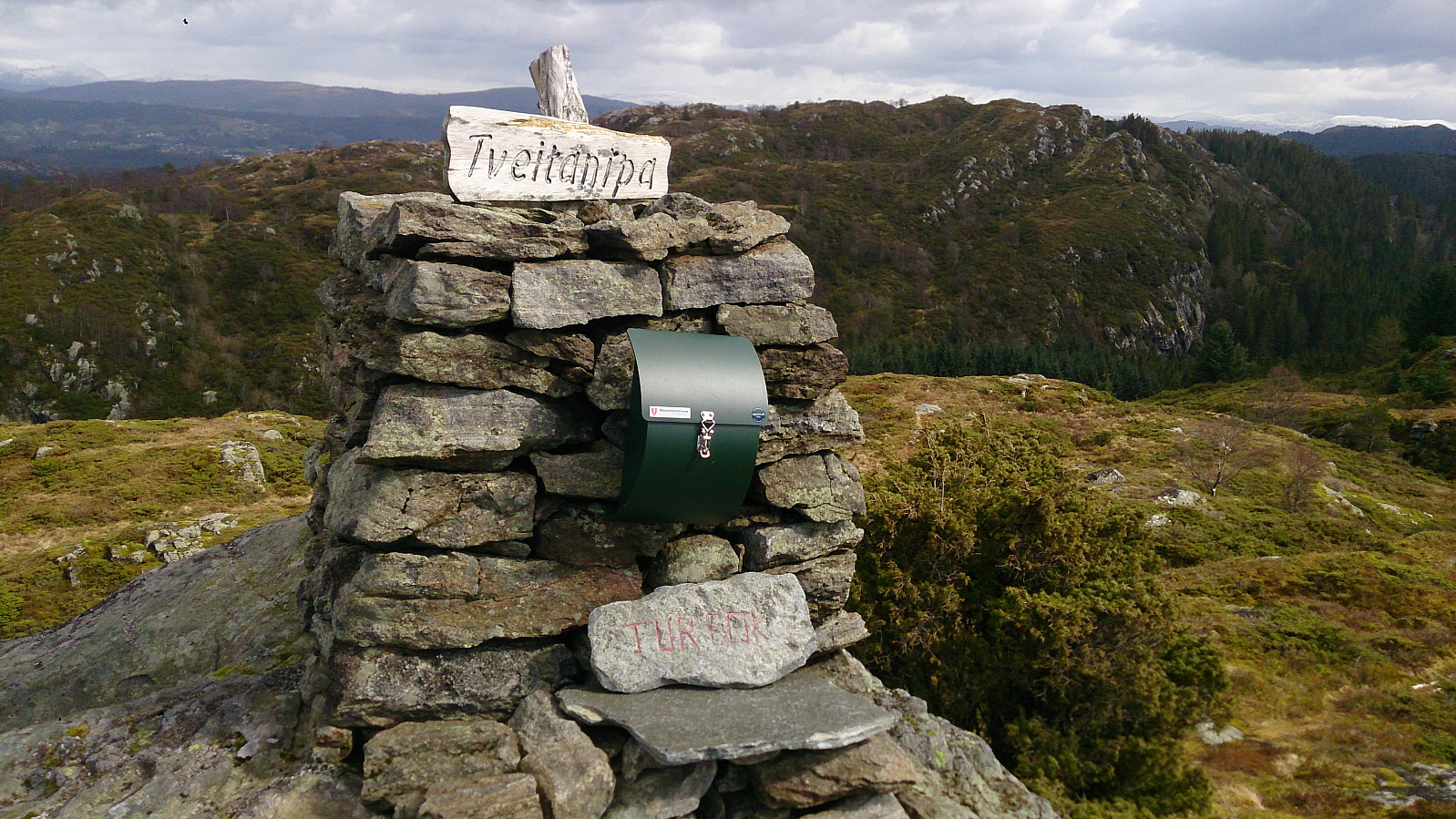
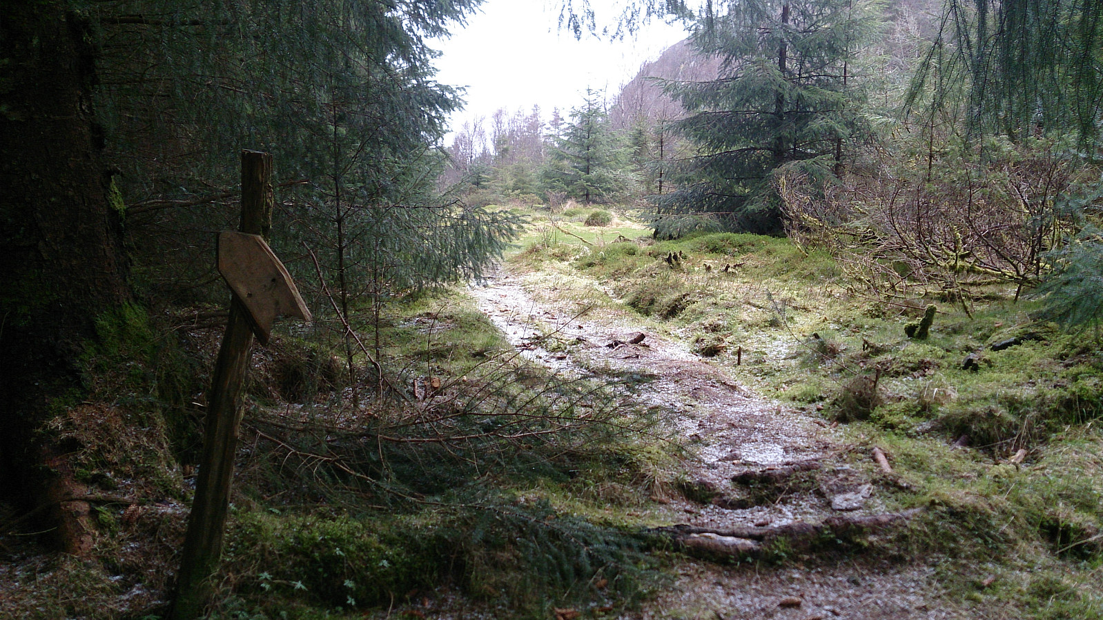
Tveitanipa
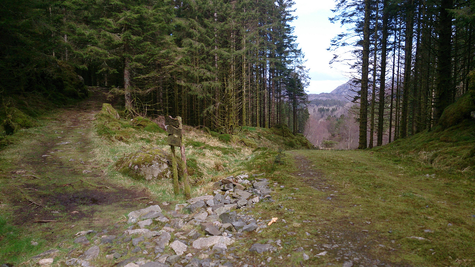
From Brakstadfjellet I doubled back almost to the gravel road and then continued in the northern direction for around 100 meters before taking a right turn to the east and followed the trail the next top of the day: Tveitanipa. Again the trail had its muddy sections, but overall a nice trail that was easy to follow. I quickly arrived at the summit and from there continued east towards Røysetfjellet.
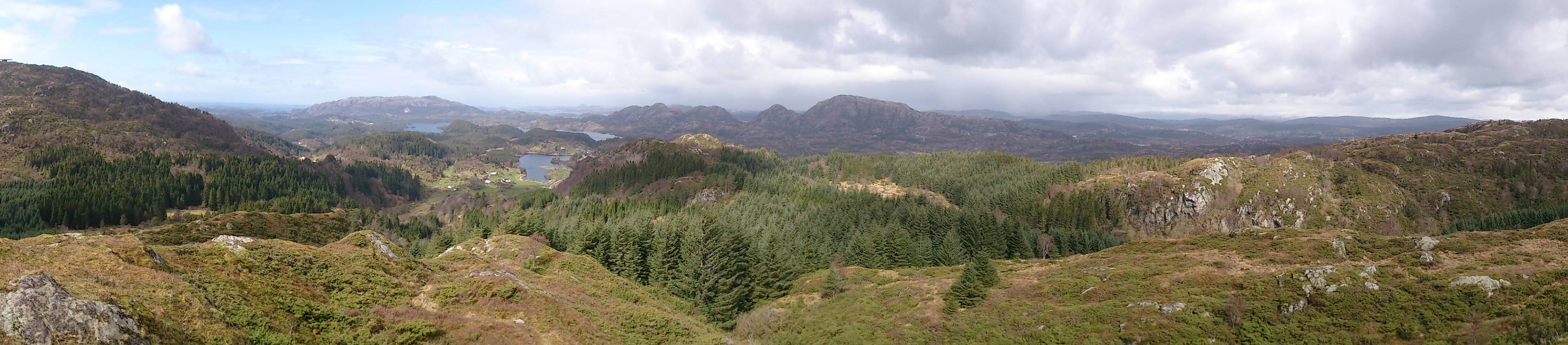
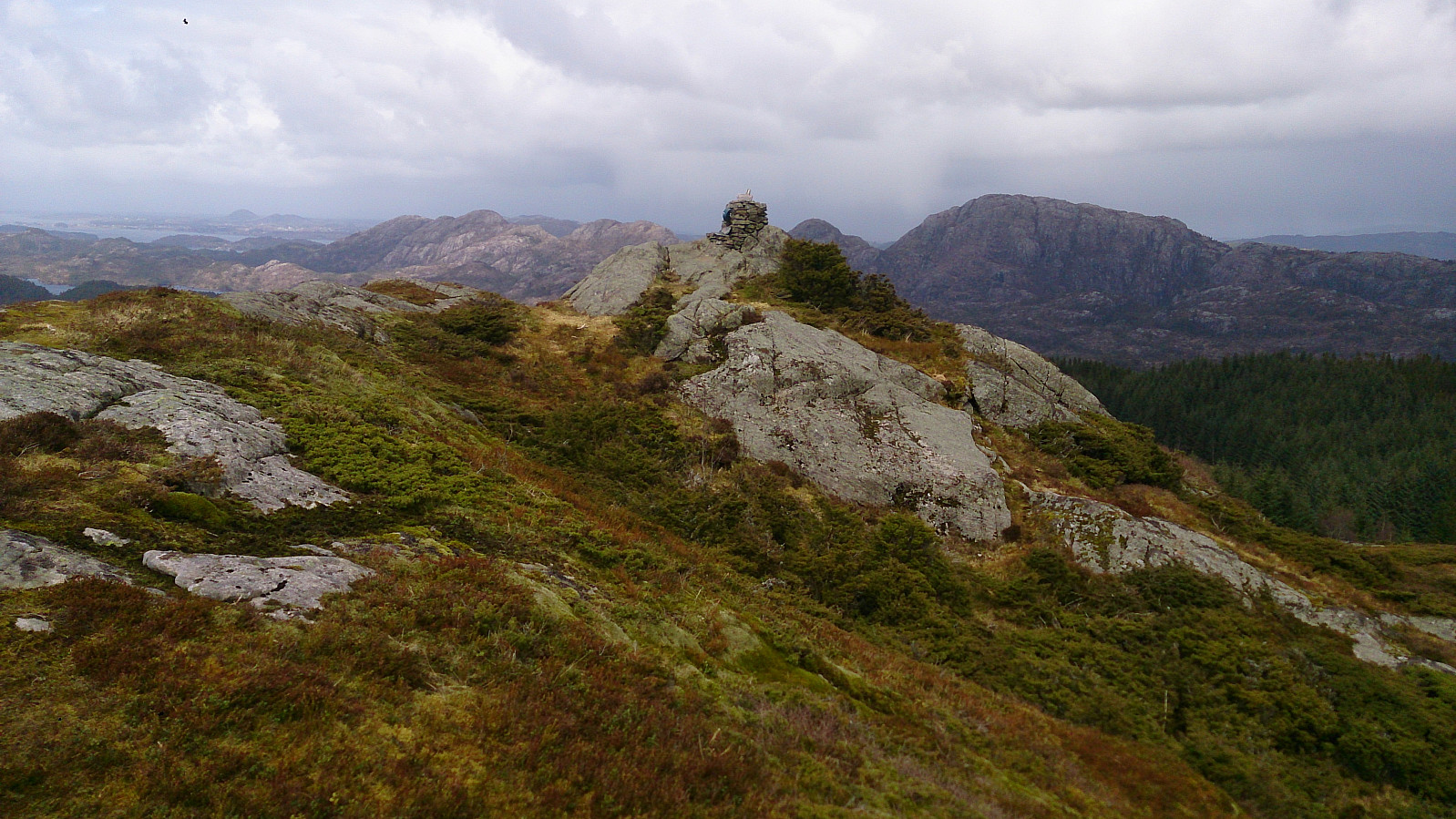
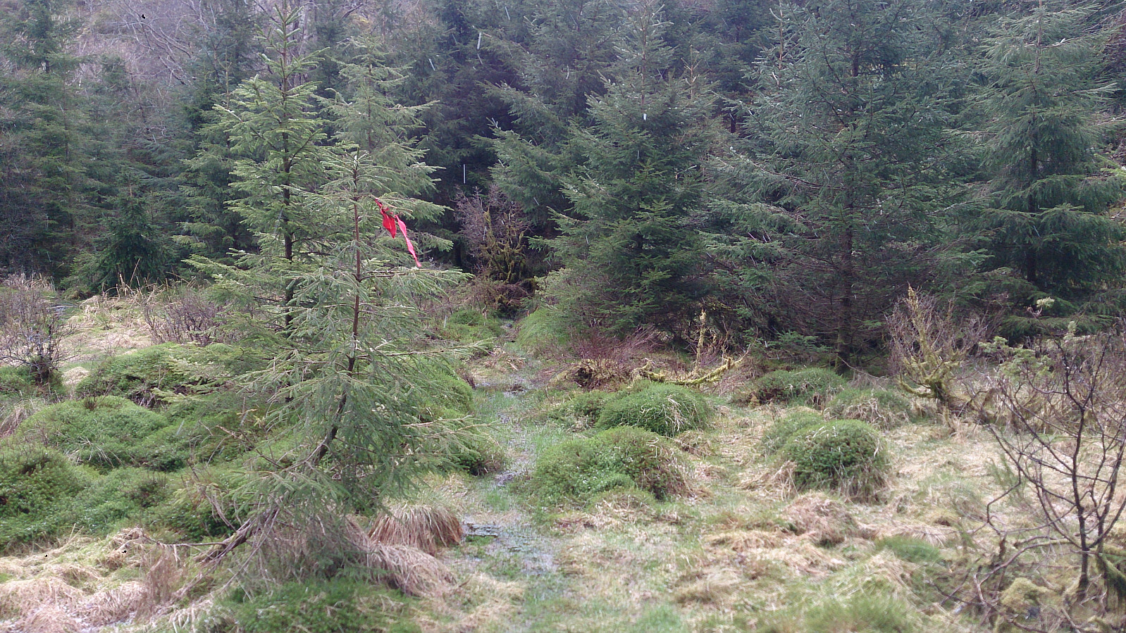
Røysetfjellet
When hitting the trail that goes north-south in between Tveitanipa and Røysetfjellet, I struggled to figure out where to continue. The trick turned out to be to follow the north-south trail a couple of meters in the northern direction before locating a rather weak trail to the right (in the easterly direction). The trail was marked by red ribbons, so look for those. At one point I made a wrong turn though, and ended up in quite dense bushes and very wet conditions. This route to the summit is very much not recommended. However, when getting close to the summit I came across the proper trail, and after a quick visit to the summit I followed this other trail for the descent. While still a fairly muddy trail, it turned out to be a major improvement compared to my improvised one. As this trail is not indicated on the map, I think the best tip is to remember that it more or less follows the small river indicated on the map going in the southeastern direction, before taking a sharp northeastern turn when getting close to the summit. See the GPS track for details.
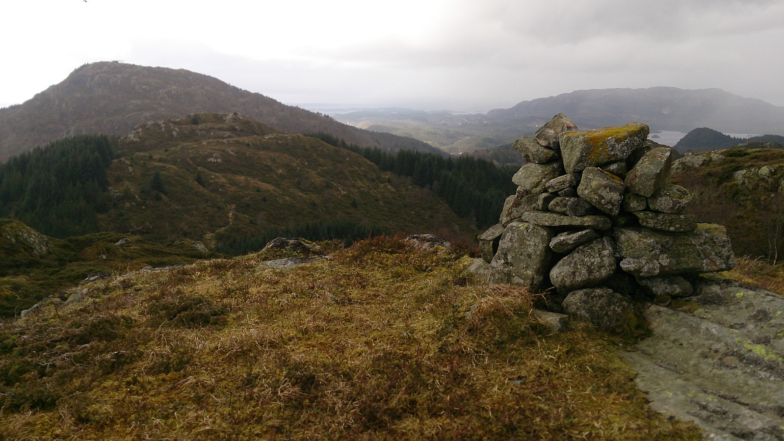
Storfjellet
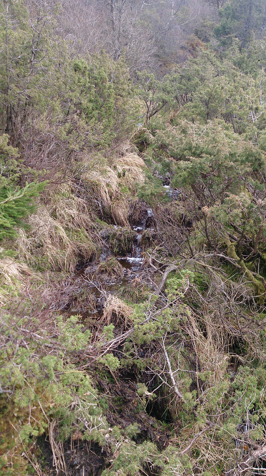
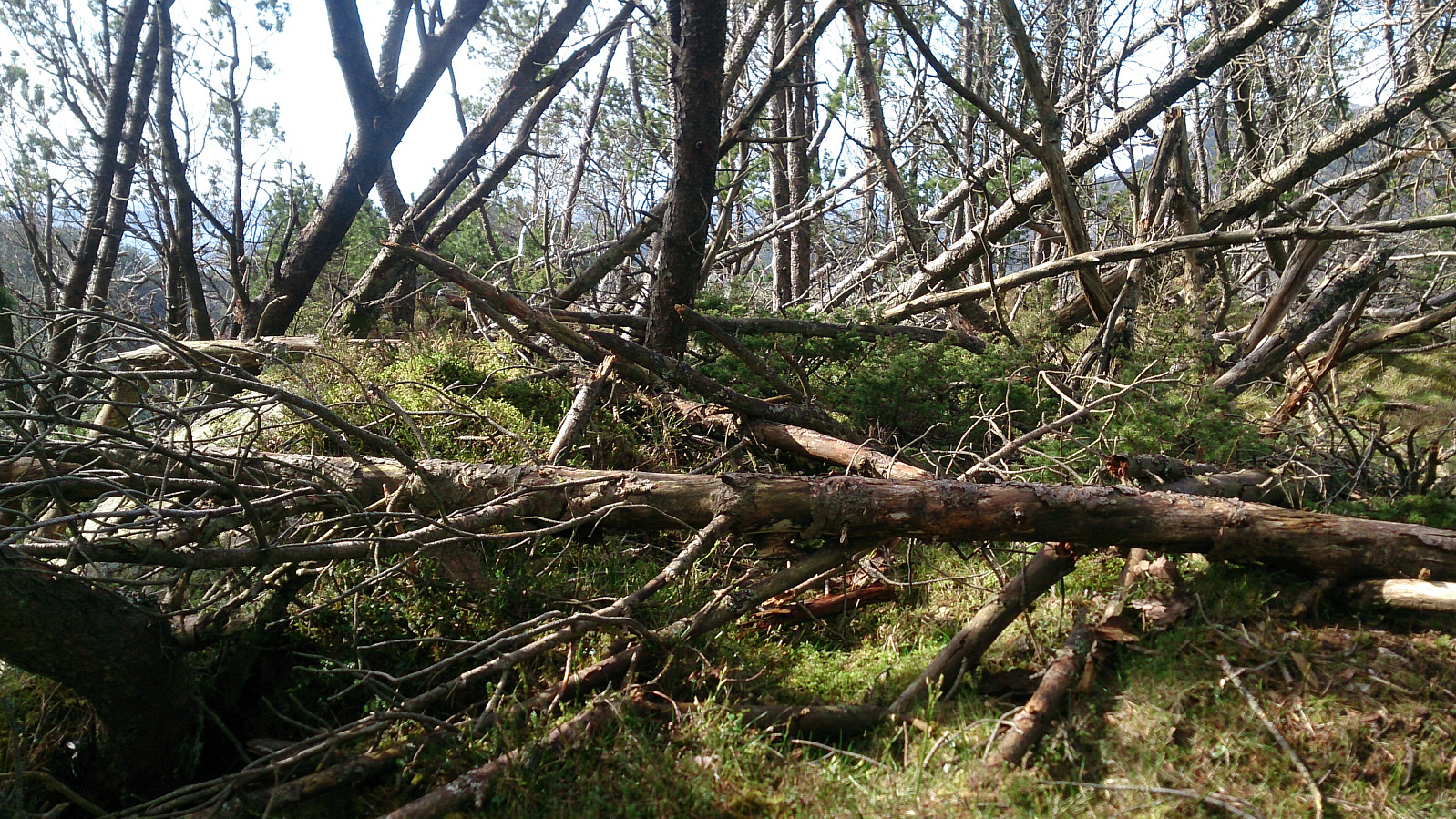
Next, I followed the trail back to Vestbygdvegen and started the search for how to get to the final summit of the day: Storfjellet. After reading about Storfjellet on Peakbook, I was not very optimistic, and I think my experience was pretty similar to the other reports. I started by following the tractor road indicated on the map to the end, with the aim of walking along the ridge of the mountain to the summit. However, before reaching the start of the ridge, I meet a local that told me that this was not the a good choice (due to lots of fallen tries and generally difficult terrain), and rather suggested that I continued on the south side of the mountain for a more direct attack of the summit from the east. I followed her suggestion, but I must admit that I did not really find any proper trails anyway, and after a while ended up taking a more direct route (as much as possible) towards the summit. In the end I made it to the summit, and figured out that my low expectations were correct with regards to the views, or rather the lack thereof. From the summit I tried to follow more or less the same route back, but this was not easy due to the steep descent and generally suboptimal hiking conditions. Overall, I think this mountain is best left to four-legged animals, like the local deer of which there were many traces.
Fløksand
The hike was concluded by walking along Vestbygdvegen to Fløksand for the bus(es) back to the city center. To conclude, a nice hike with some great views, especially for the two first peaks. Røysetfjellet should also be ok, if the proper trail is followed, however, Storfjellet I, like most other hikers, cannot recommend.

| Starttidspunkt | 22.04.2017 12:02 (UTC+01:00 ST) |
| Sluttidspunkt | 22.04.2017 16:33 (UTC+01:00 ST) |
| Totaltid | 4t 30min |
| Bevegelsestid | 4t 09min |
| Pausetid | 0t 20min |
| Snittfart totalt | 2,8km/t |
| Snittfart bevegelsestid | 3,0km/t |
| Distanse | 12,4km |
| Høydemeter | 782m |


Kommentarer