
Storhovden, Midtfjellet and Rundemanen (09.04.2017)

Geschrieben von hbar (Harald Barsnes)

| Startpunkt | Flaktveitrinden (105m) |
|---|---|
| Endpunkt | Lønborg (55m) |
| Tourcharakter | Bergtour |
| Tourlänge | 4h 54min |
| Entfernung | 20,0km |
| Höhenmeter | 966m |
| GPS |
|
| Besteigungen | Midtfjellet (510m) | 09.04.2017 |
|---|---|---|
| Rundemanen (568m) | 09.04.2017 | |
| Storhovden (347m) | 09.04.2017 | |
| Besuche anderer PBE | Brushytten (412m) | 09.04.2017 |
| Grindarasten (375m) | 09.04.2017 | |
| Heimen (476m) | 09.04.2017 | |
| Hus vest for Rundemansmasten (546m) | 09.04.2017 | |
| Lundekvam (tuft) (495m) | 09.04.2017 | |
| Nissebo (502m) | 09.04.2017 | |
| Vannverkshus i Skiveien (244m) | 09.04.2017 | |
| Vikinghytten (586m) | 09.04.2017 |
Storhovden, Midtfjellet and Rundemanen
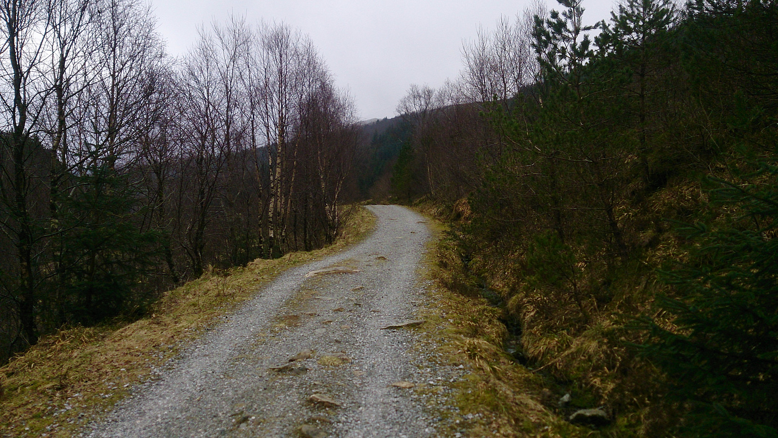
Started by talking the bus to Flaktveitrinden and walking to Søre Hjortland. There I followed a nice gravel road to the end, where I located two trails I assumed were both heading towards the top of Storehovden. I ended up taking the left one (see picture), and followed it almost all the way to the top, only taking a shortcut at the very end. There was practically no view at the top (something that was going to be a theme for the day, more on that later), but I'd still recommend a visit as the gravel road leading up to the trail was quite nice and it's an easy peak to get to.
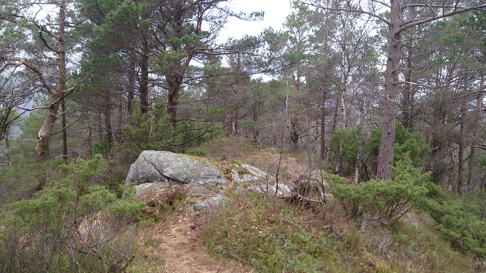
From the top of Storehovden, I followed a trail going southeast, hoping it would return me back to where I started the accent, which turned out to be correct. In other words, both of the potential trails located at the end of the gravel road leads to the top of Storehovden.
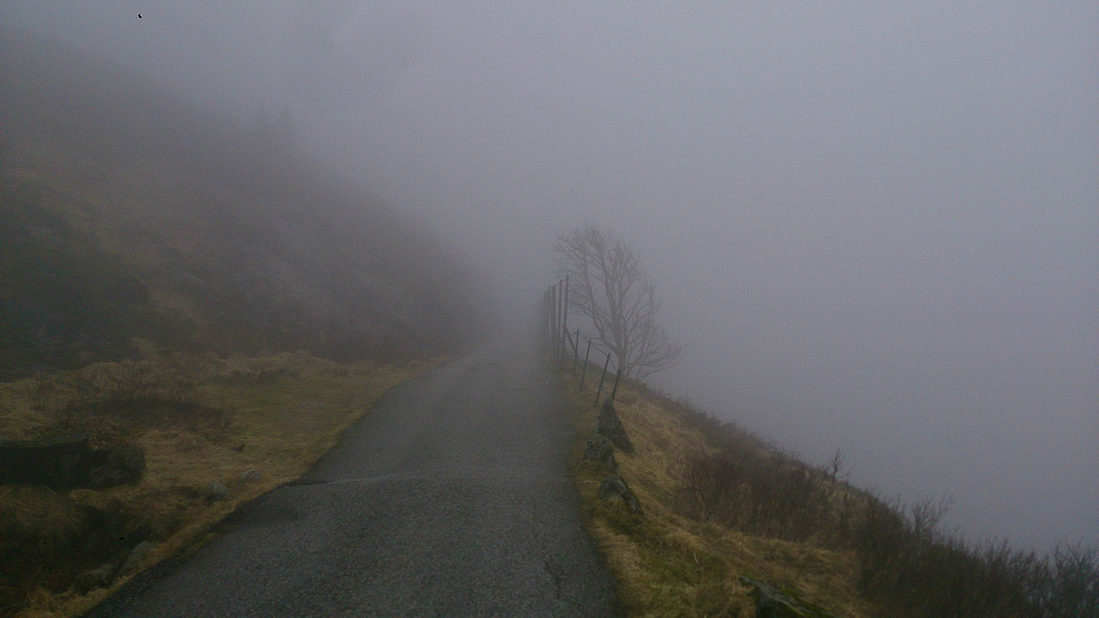
I then followed the trail towards Vikinghytten and quickly ended up in quite dense fog and strong winds. Which would be the weather conditions until I reached Brushytten later on. The fog was not a big issue as long as I followed the trail, but the strong wind made the hike tougher than expected. Luckily the wind died down just a little bit when I turned towards Rundemanen.
On the way to Rundemanen I decided to take a detour to the top of Midtfjellet. Locating the highest peak on Midtfjellet is not straightforward, and was not made any easier by the fact that I could not see the alternatives from any given peak. So I decided to cover all of them, just to be on the safe side.
When heading back to the main trail I passed by the two cabins Nissebo and Heimen, before turning towards Rundemanen. At Rundemanen I could not see the tower until I was around 50 meters from it. I therefore decided to play it safe and followed the gravel road down to Brushytten and onwards to Munkebotn for the end of the hike.
| Startzeitpunkt | 09.04.2017 13:48 (UTC+01:00 SZ) |
| Endzeitpunkt | 09.04.2017 18:42 (UTC+01:00 SZ) |
| Gesamtzeit | 4h 54min |
| Zeit in Bewegung | 4h 40min |
| Pausenzeit | 0h 13min |
| Gesamtschnitt | 4,1km/h |
| Bewegungsschnitt | 4,3km/h |
| Entfernung | 20,0km |
| Höhenmeter | 966m |


Benutzerkommentare