
Straumsfjellet and Storhovden (08.04.2017)

Skrevet av hbar (Harald Barsnes)

| Startsted | Bjørndalsbakken (42moh) |
|---|---|
| Sluttsted | Lyngbø (15moh) |
| Turtype | Fjelltur |
| Turlengde | 2t 19min |
| Distanse | 7,9km |
| Høydemeter | 361m |
| GPS |
|
| Bestigninger | Storhovden (174moh) | 08.04.2017 |
|---|---|---|
| Straumsfjellet (111moh) | 08.04.2017 | |
| Andre besøkte PBE'er | Storhovden utsiktspunkt (172moh) | 08.04.2017 |
Straumsfjellet and Storhovden
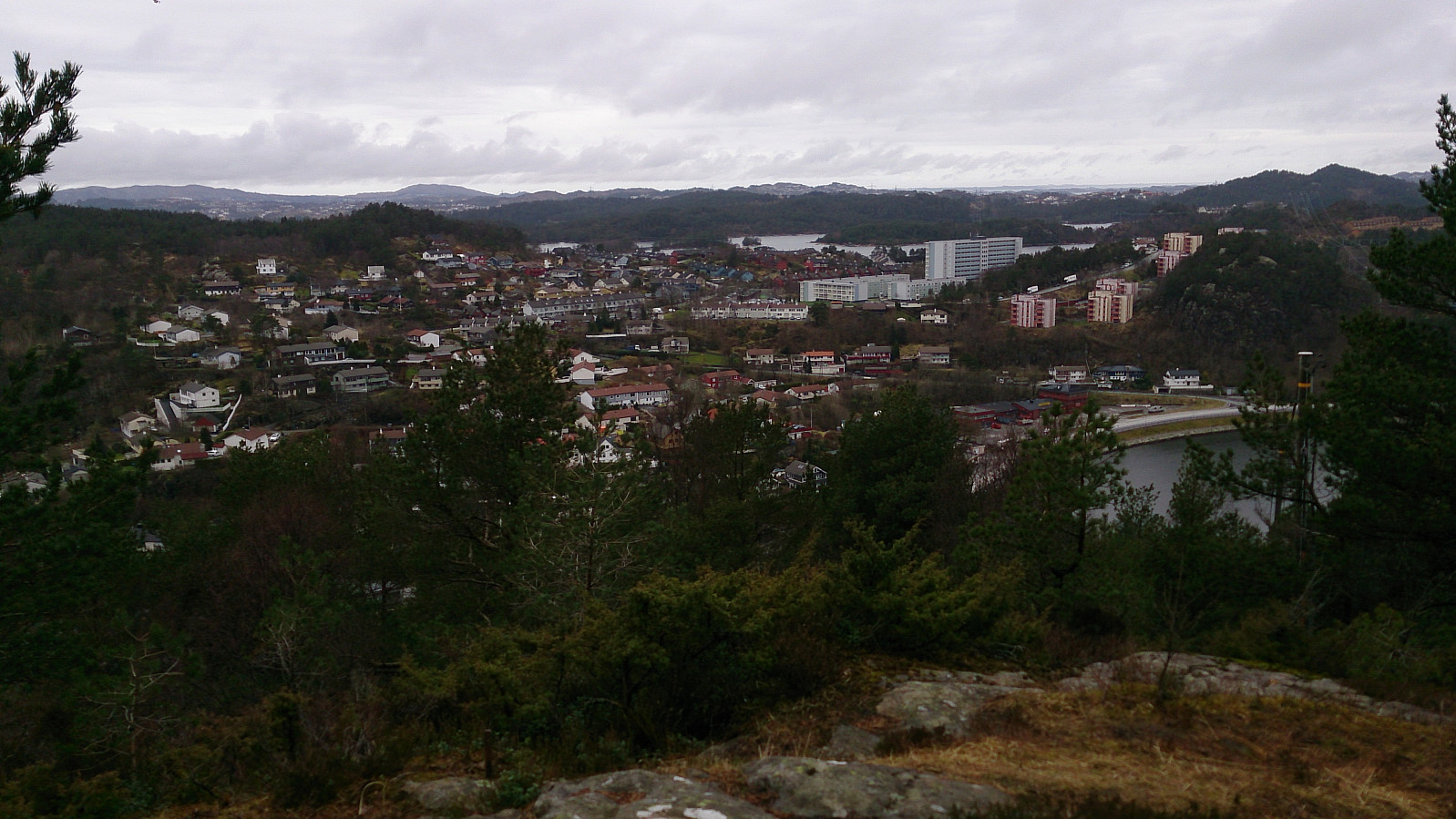
Short Saturday hike to cover two smaller peaks I had not yet visited. Started by talking the bus to Bjørndalsbakken and from there walking up Bjørgeveien. I then located the trail to Straumsfjellet and easily made it to the top. Decent views for such a small peak.
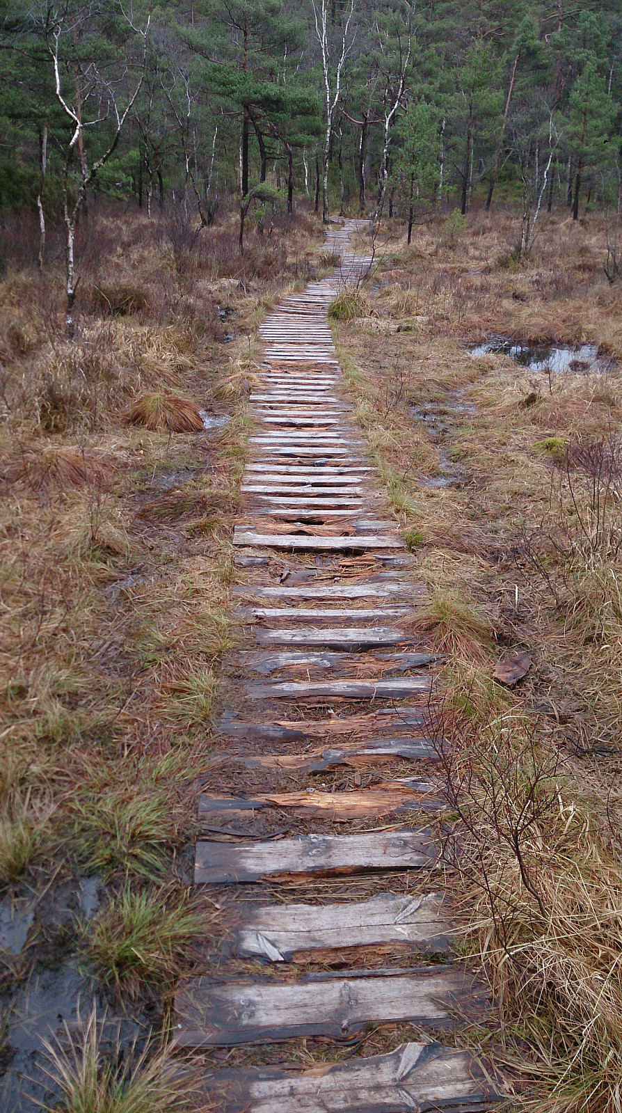
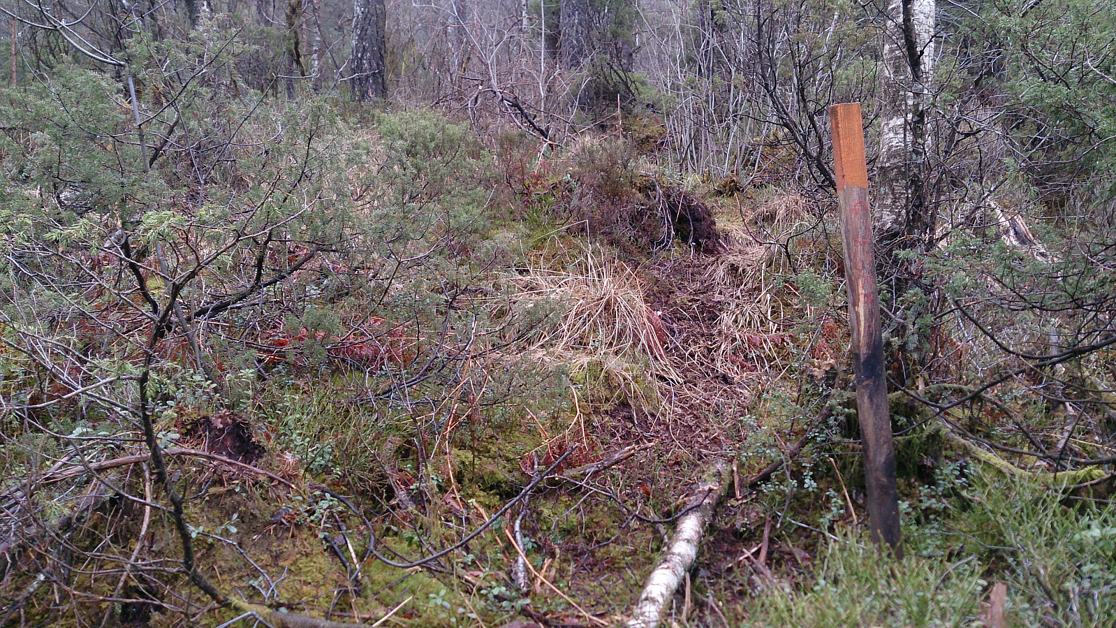
From the top of Straumsfjellet I continued south to Bjørndalsskogen and then down to Bjørndalsvatnet. After reaching the northern end of Bjørndalsvatnet I followed the marked trail towards Krokatjørna, but after a while started looking for trails going in the direction of Storhovden. Did not find any clear trails, but found something I thought would take me in the direction of the top and tried to followed this one. The trail almost disappeared a couple of times (see picture), but also connected to/crossed other more easily visible trails that I was unsure if I should follow or not, as most of these did not seem to go in the direction of Storhovden. But in the end I managed to get to the top. The top has close to no view, but there was a nice viewpoint around 50 meters the west of the peak.
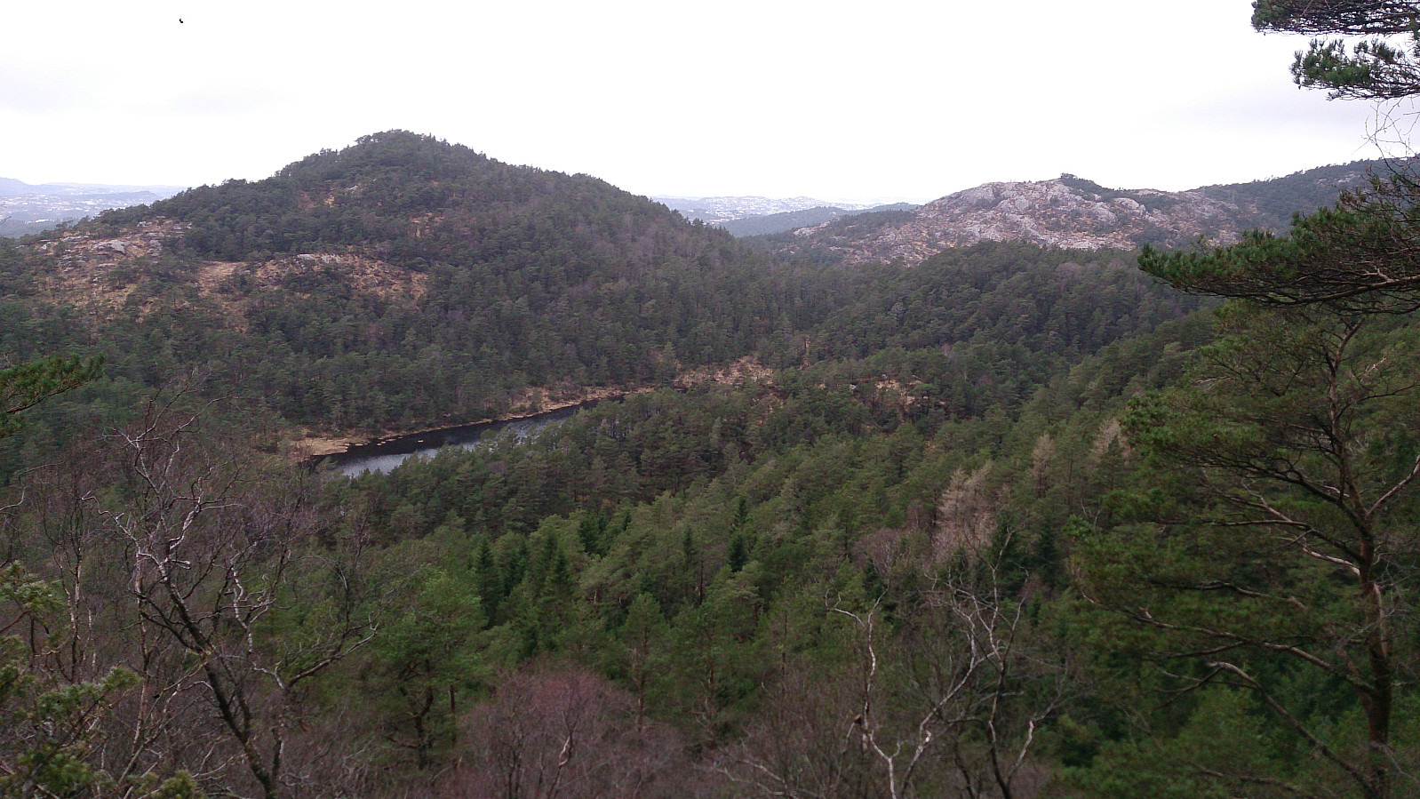
From the top of Storhovden I quickly found a trail that I followed down to the gravel road that comes from Spelhaugen, and then followed this road alongside Tennebekktjørna and down Nipedalen to Lyngbø for the bus back to the city center.
| Starttidspunkt | 08.04.2017 13:54 (UTC+01:00 ST) |
| Sluttidspunkt | 08.04.2017 16:13 (UTC+01:00 ST) |
| Totaltid | 2t 19min |
| Bevegelsestid | 2t 12min |
| Pausetid | 0t 7min |
| Snittfart totalt | 3,4km/t |
| Snittfart bevegelsestid | 3,6km/t |
| Distanse | 7,9km |
| Høydemeter | 360m |


Kommentarer