
Ustetind from Kikut (28.03.2017)

Skrevet av hbar (Harald Barsnes)

| Startsted | Kikut (1024moh) |
|---|---|
| Sluttsted | Kikut (1024moh) |
| Turtype | Fjellskitur |
| Turlengde | 7t 23min |
| Distanse | 28,4km |
| Høydemeter | 714m |
| GPS |
|
| Bestigninger | Birgithovda (1172moh) | 28.03.2017 |
|---|---|---|
| Ustetind (1376moh) | 28.03.2017 | |
| Andre besøkte PBE'er | Hakkesetstølen (1040moh) | 28.03.2017 |
Ustetind from Kikut


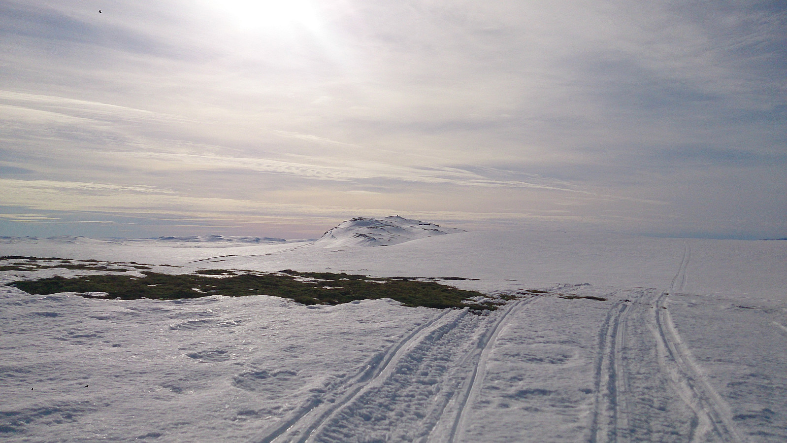
Eight degrees, sunny, almost no clouds, and close to no wind. Only the snow conditions could have been better, as for many sections of the trail we could see the ground through the snow, while for other parts the snow melting during the previous day had turned into ice overnight. Yet at other places we had to leave the trail completely for smaller detours to avoid larger wet areas. Luckily this greatly improved as the trip progressed.
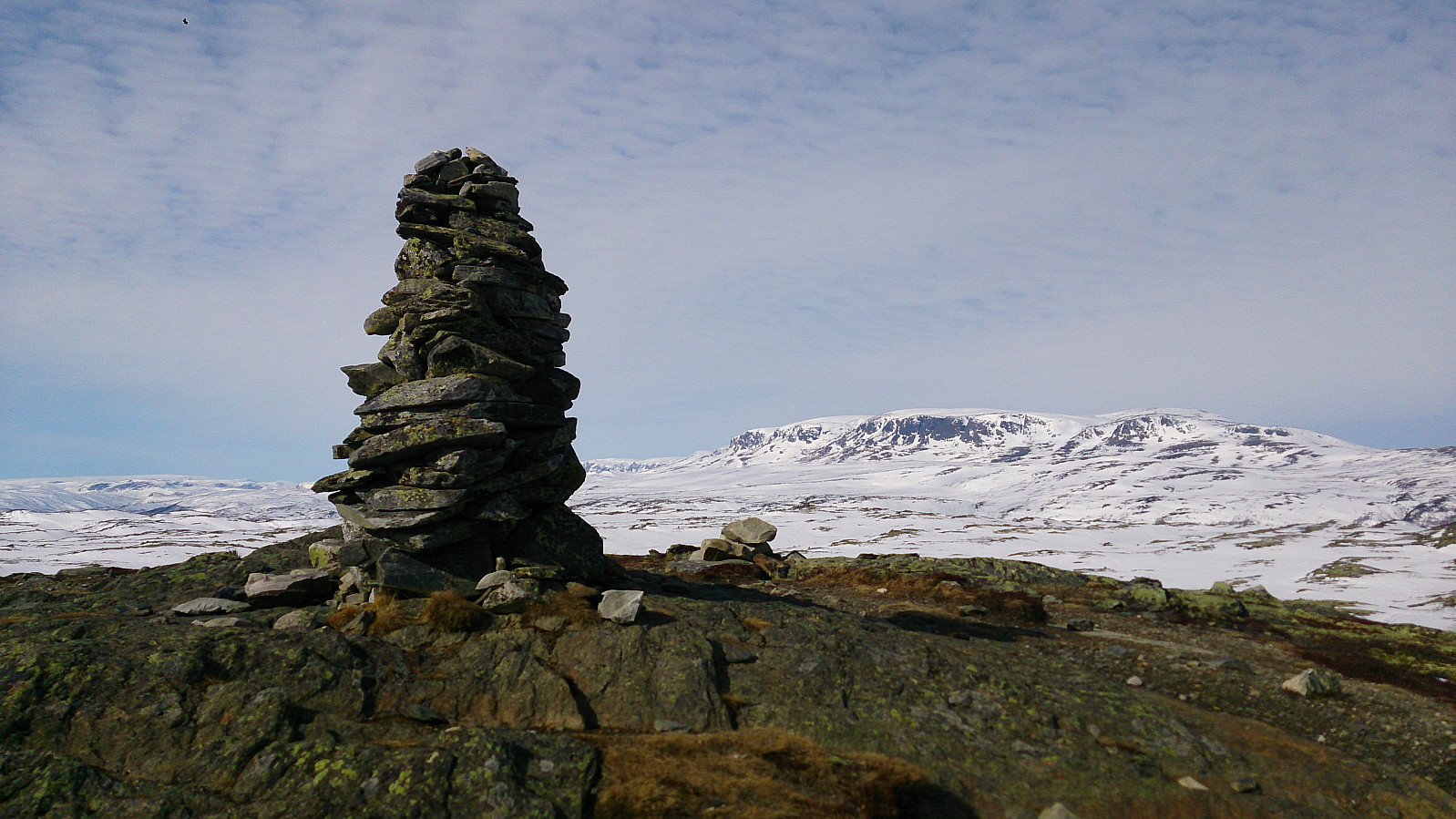
The first summit visited was Birgithovda, an easy to reach summit that is very close to the main winter trail. I had to remove my skis to reach the summit though, as all the snow had melted towards the summit. Even though this summit is relatively low compared to its surroundings, it still provided nice views as can be seen from the pictures.
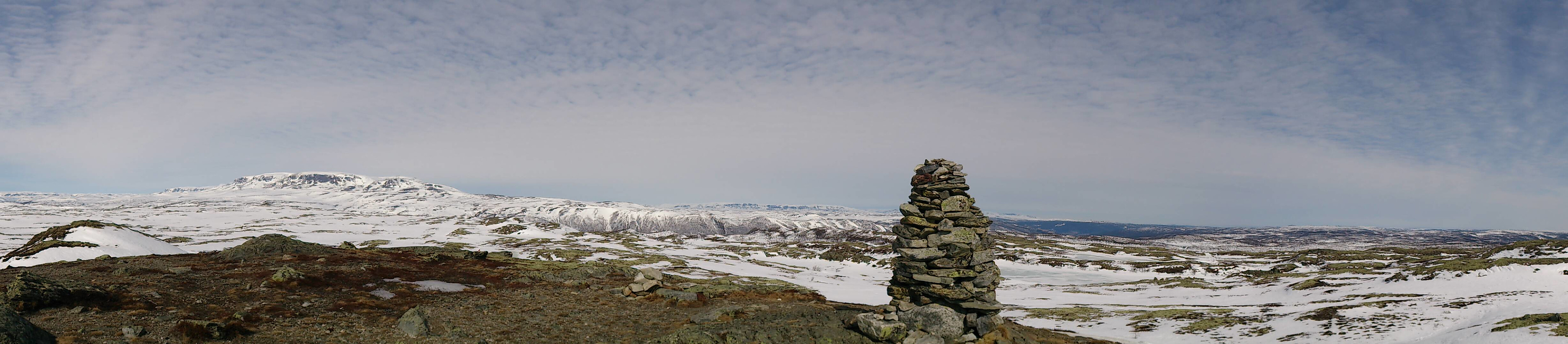
The trip quickly continued to the Red Cross cabin called Grønebakken, where it was time for a short break and a quick lunch. After a short rest, we continued towards Tuva. But instead of going all the way there we continued upwards to Ustetind. The final kilometers to the summit were fairly hard with little rest, but the views from the summit were definitely worth it!
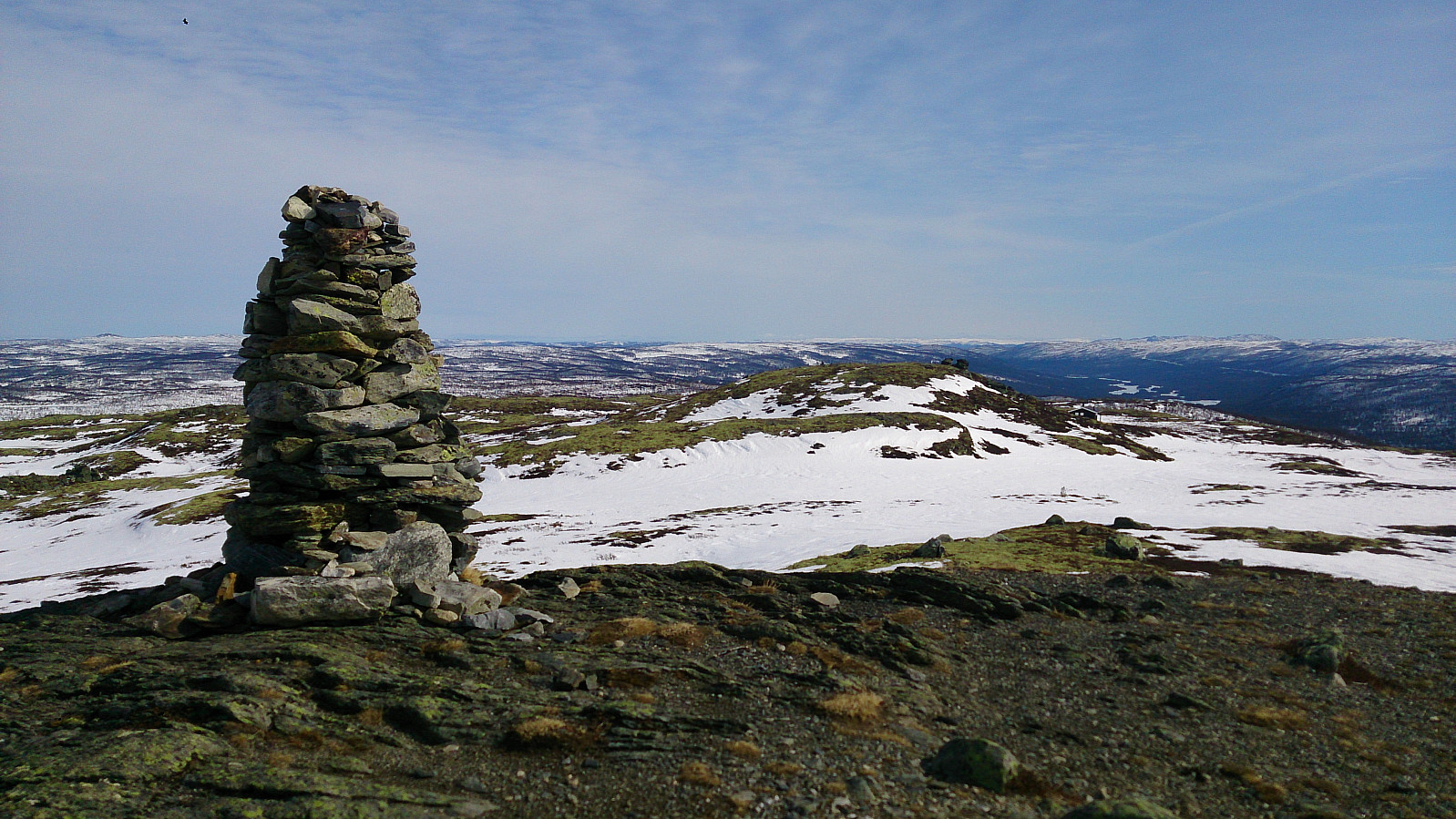
Also here, the summit itself was without snow and instead consisted of plenty of soft mud. After taking the necessary pictures we decided to take a shortcut back towards Grønebakken (see map for details). This turned out to be a good choice and we quickly descended to where we had our break several hours earlier. From there we doubled back to the starting point of the trip, finishing off a perfect day of skiing!
| Starttidspunkt | 28.03.2017 11:24 (UTC+01:00 ST) |
| Sluttidspunkt | 28.03.2017 18:48 (UTC+01:00 ST) |
| Totaltid | 7t 23min |
| Bevegelsestid | 5t 46min |
| Pausetid | 1t 36min |
| Snittfart totalt | 3,8km/t |
| Snittfart bevegelsestid | 4,9km/t |
| Distanse | 28,4km |
| Høydemeter | 714m |


Kommentarer