Spåkefjellet, Stikka and Vikinghytten (04.09.2016)

Written by hbar (Harald Barsnes) GSM

Start point Gamsevegen
Endpoint Lønborg
Characteristic Hillwalk
Map
Ascents Rundemanen (568m) 04.09.2016
Spåkefjellet (236m) 04.09.2016
Stikka (258m) 04.09.2016
Visits of other PBEs Kvamsvegen p-plass (190m) 04.09.2016
Norhytten (517m) 04.09.2016
Vikinghytten (590m) 04.09.2016

Spåkefjellet, Stikka and Vikinghytten

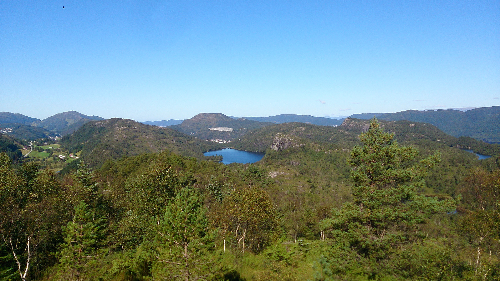
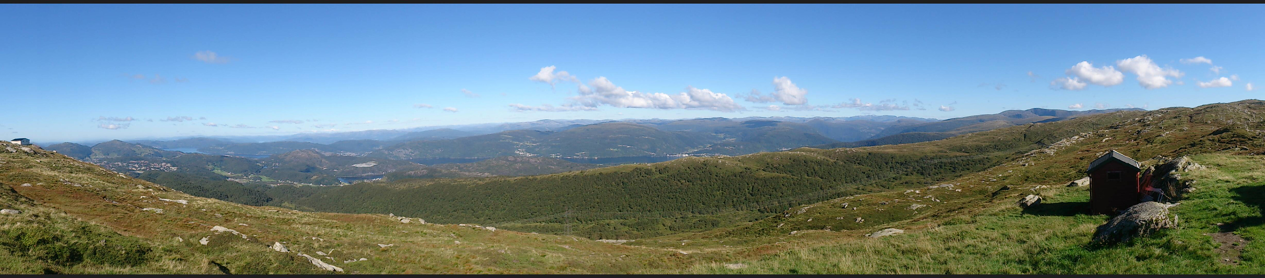
We started from Gaupås and from there intended to cross over Sjurstonipa on the way to Stikka, but we took a wrong turn at the start and passed by Spåkefjellet instead. From Stikka we followed the trail to Norhytten, and from there tried to find a shortcut to Vikinghytten, but taking this direct route probably turned out to take longer than following the marked trail. Finally, we crossed Rundemanen on our way back to city center.

View from Stikka towards Spåkevatnet with Hetlebakksåta in the background
View east from Vikinghytten

User comments

Comment title:
Characters left: 1000
Comment text:
You need to be logged in to write comments.