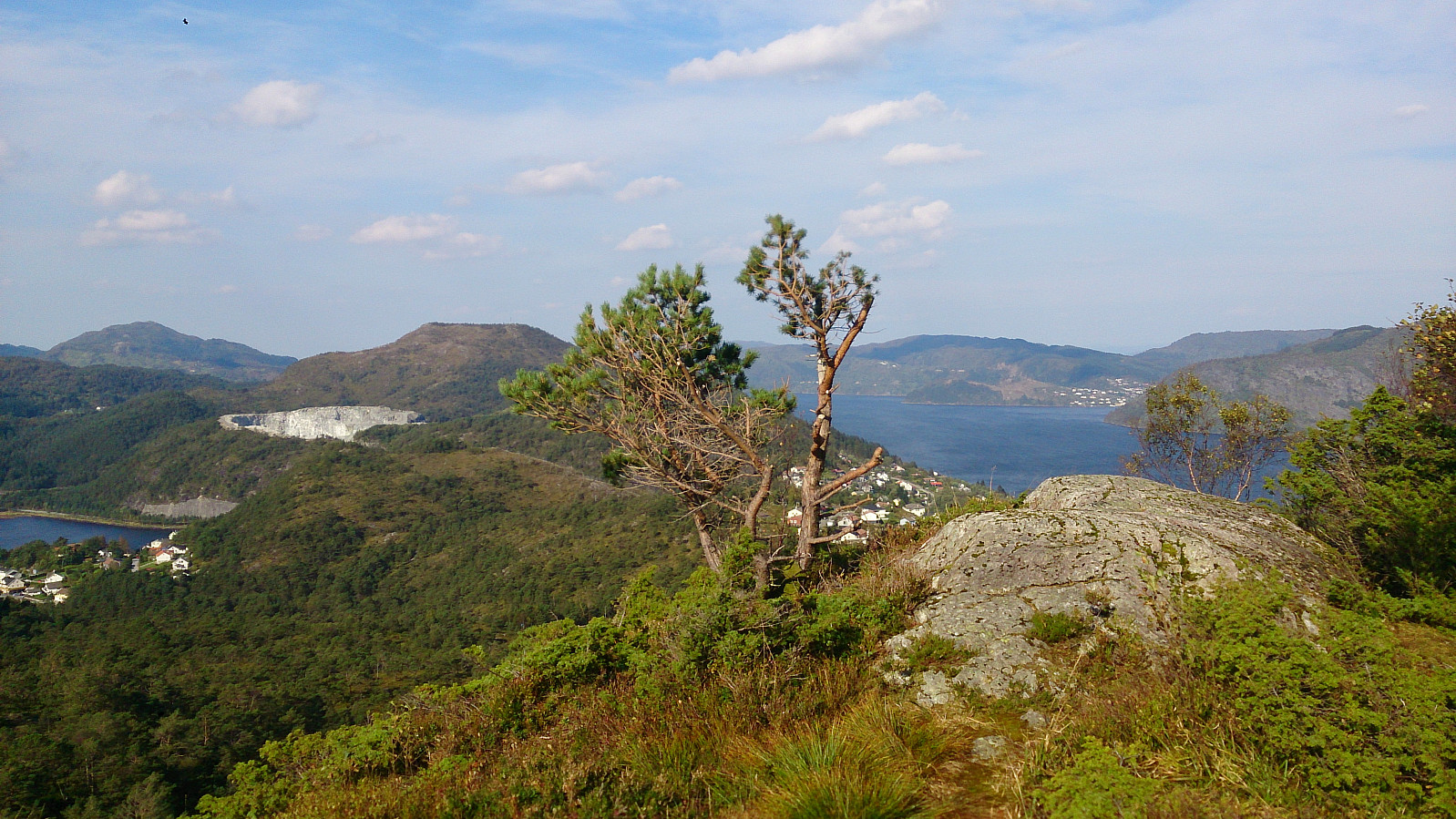
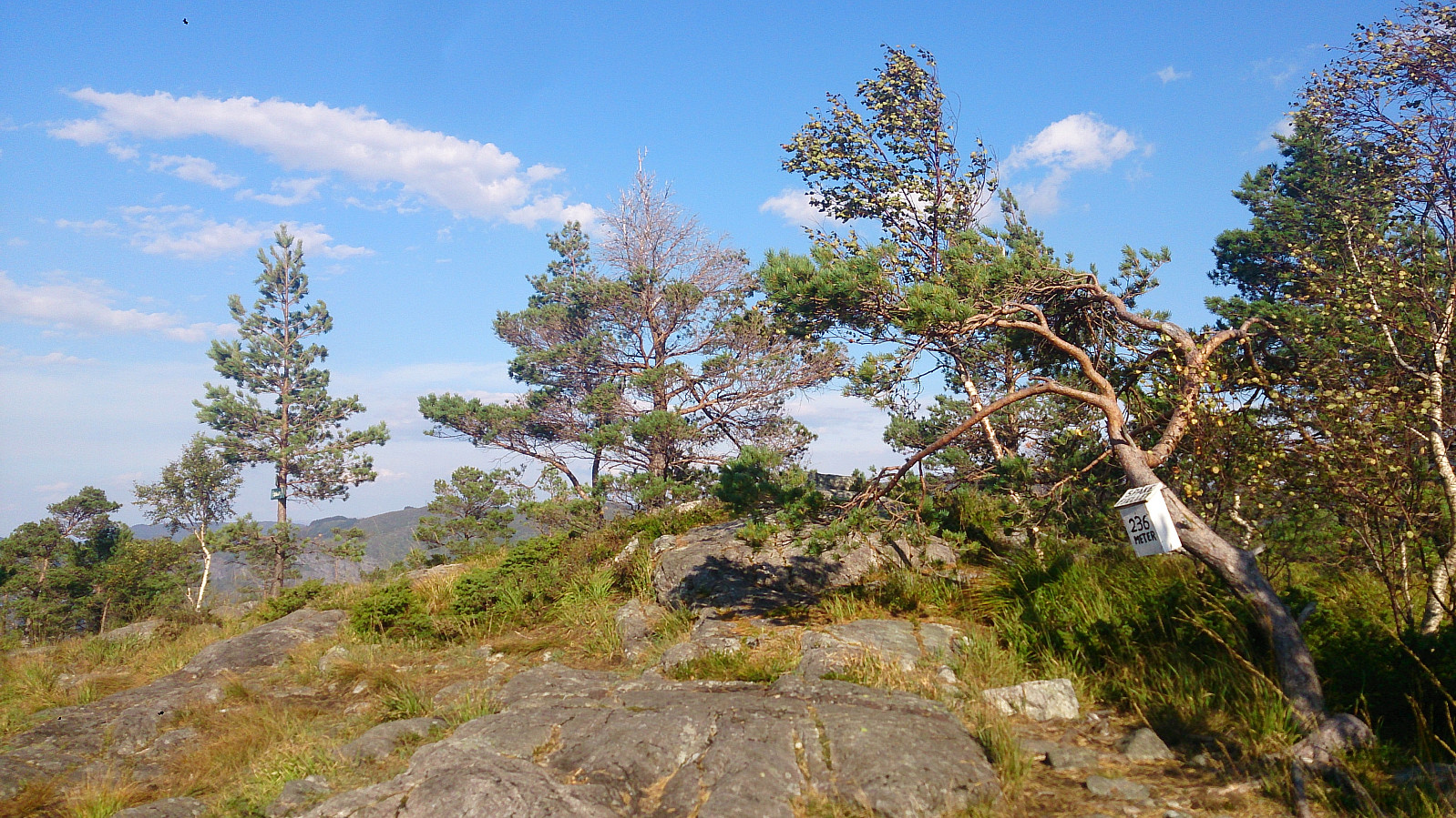
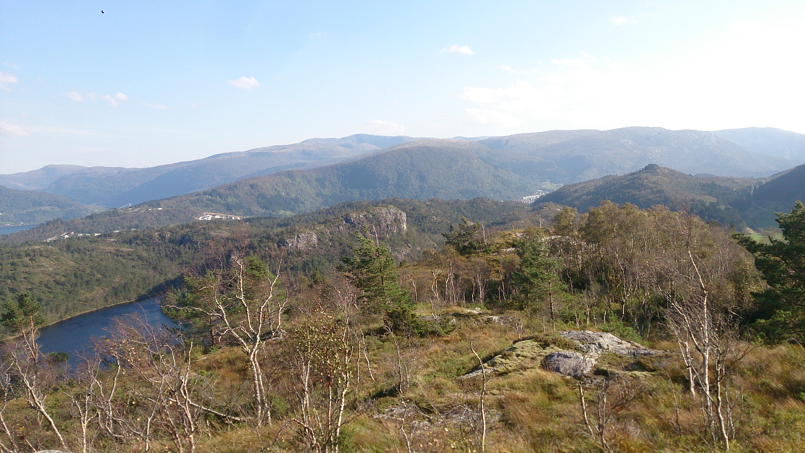
Started by taking the bus to Gamsevegen and walking to the summit of Sjurstonipa. From there I continued south to Stemmevatnet before heading back up Sjurstodalen and across Spåkefjellet, and then down to the bridge at the end of Spåkevatnet. Next, I followed the road towards Gaupås before locating the trail to Beitelen. The views from the summit itself were limited, but there were better views both south and north of the summit.
Denne rapporten ble jo skrevet for over fire år siden..? Men jeg har gått gjennom en del eldre rapporter og rettet skrivefeil o.l. de siste dagene. Kanskje det er dette du har lagt merke til?


Kommentarer
AJOUR
Skrevet av Fjellsamleren 21.12.2020 11:29Ser du ikke er helt ajour med rapportene dine du heller ;)
Re: AJOUR
Skrevet av hbar 21.12.2020 12:39Denne rapporten ble jo skrevet for over fire år siden..? Men jeg har gått gjennom en del eldre rapporter og rettet skrivefeil o.l. de siste dagene. Kanskje det er dette du har lagt merke til?