
Liatårnet and Pyttane (11.02.2017)

Geschrieben von hbar (Harald Barsnes)

| Startpunkt | Døsjeskiftet (36m) |
|---|---|
| Endpunkt | Døsjeskiftet (39m) |
| Tourcharakter | Bergtour |
| Tourlänge | 4h 22min |
| Entfernung | 14,3km |
| Höhenmeter | 838m |
| GPS |
|
| Besteigungen | Bildøybakken (220m) | 11.02.2017 |
|---|---|---|
| Liatårnet (341m) | 11.02.2017 | |
| Pyttane nordre (329m) | 11.02.2017 | |
| Pyttane søndre (330m) | 11.02.2017 | |
| Skinntikavarden (238m) | 11.02.2017 | |
| Skitnafenet (239m) | 11.02.2017 | |
| Tunga (130m) | 11.02.2017 | |
| Vardafjell (231m) | 11.02.2017 |
Liatårnet and Pyttane
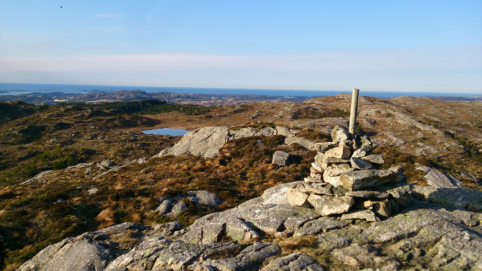
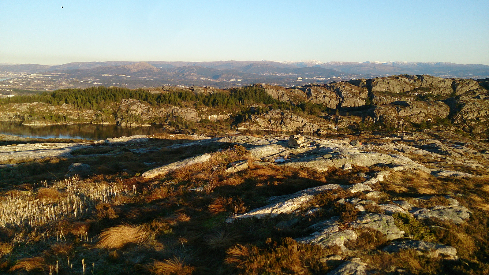
The hike started by talking the bus to where Bildøybakken meets Døsjevegen (bus stop called Døsjeskiftet). From there I easily followed the paved road towards Bildøyvatnet. However before reaching Bildøyvatnet I started on a trail going south on the east side of Bildøyvatnet, taking me to Skinntikavarden. Next, I followed the trail towards Skitnafenet, but not all the way to the top (more on that later).
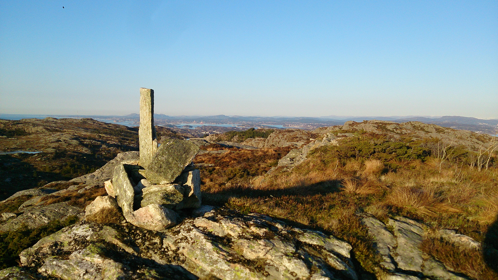
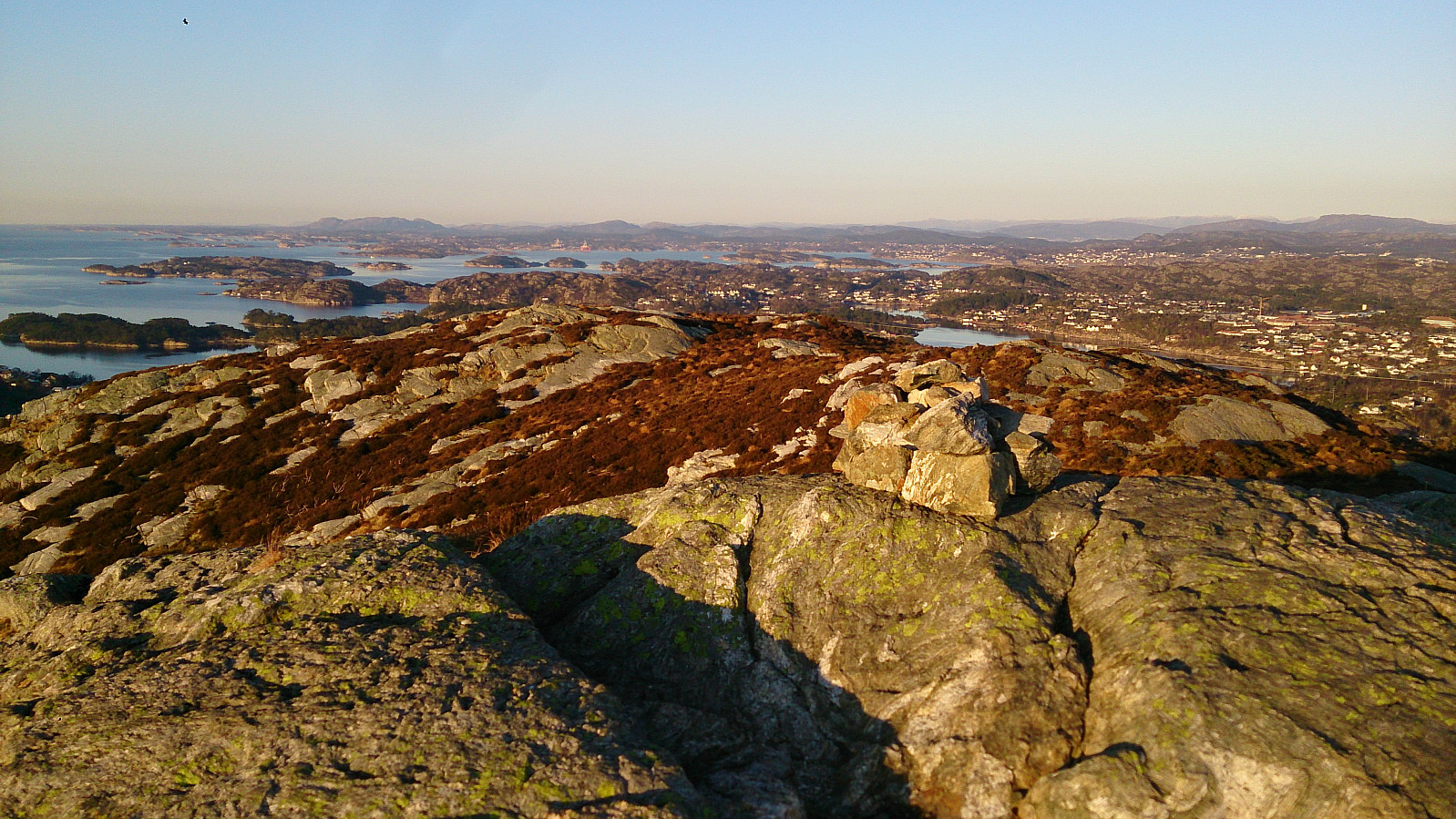
The trail took me down to the paved road going to Pyttane, which I followed all the way to the top, visiting both towers, before moving on towards Liatårnet, the highest summit of the day. After descending from Liatårnet I followed the paved road 200 meters or so in the westerly direction before locating a trail heading north (it was indicated by multiple signs, but I can't remember the names on the signs). This trail took me across Tunga, a minor summit in itself, but with nice views back up to Liatårnet.
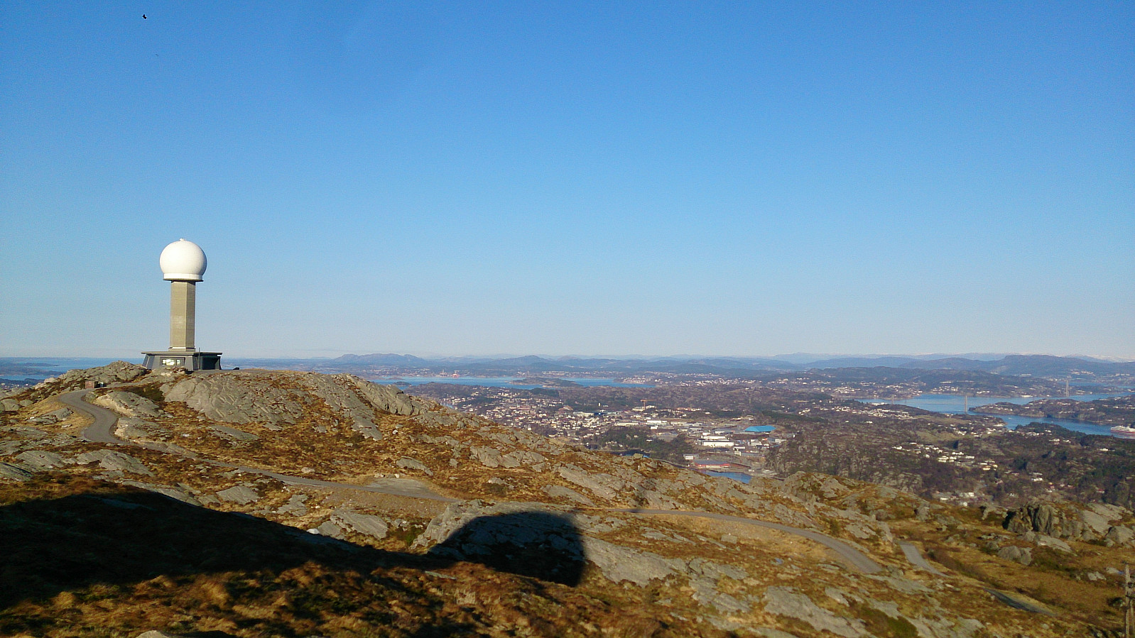
Now moving north again, I noticed that I had missed the summit of Skitnafenet on my way south. I therefore decided to make an extra detour back up to the summit of Skitnafenet in order to "cross it of my list". This was a bit of a gamble, given that I had a bus to catch at Døsjevegen and the clock was ticking. I increased the speed and quickly also covered Vardafjellet and Bildøyfjellet (though with some challenges due to losing the trail a couple of times on the way from Skitnafenet to Vardafjellet) to reach Bildøynuten.
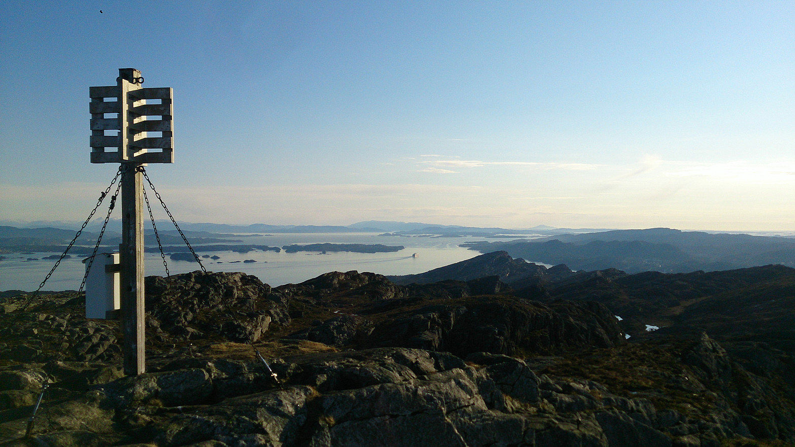
From Bildøynuten the trail quickly took me down towards Kolltveit where a short walk along the highway took me back to the starting point of the hike. When getting there I however noticed that I still had plenty of time to spare and ended up getting rather cold before the bus finally arrived. But much better than having to wait two hours for the next bus anyway. ;)
| Startzeitpunkt | 11.02.2017 12:13 (UTC+01:00) |
| Endzeitpunkt | 11.02.2017 16:36 (UTC+01:00) |
| Gesamtzeit | 4h 22min |
| Zeit in Bewegung | 4h 04min |
| Pausenzeit | 0h 18min |
| Gesamtschnitt | 3,3km/h |
| Bewegungsschnitt | 3,5km/h |
| Entfernung | 14,3km |
| Höhenmeter | 838m |


Benutzerkommentare