
Sjurstonipa and Lydarnipa (27.11.2016)

Written by hbar (Harald Barsnes)

| Start point | Gamsevegen (73m) |
|---|---|
| Endpoint | Blinde (70m) |
| Characteristic | Hillwalk |
| Duration | 3h 40min |
| Distance | 11.4km |
| Vertical meters | 497m |
| GPS |
|
| Ascents | Ulvaberget (219m) | 27.11.2016 |
|---|---|---|
| Sjurstonipa (252m) | 27.11.2016 | |
| Storsåta (206m) | 27.11.2016 | |
| Sætrefjellet (162m) | 27.11.2016 |
Sjurstonipa and Ulvaberget
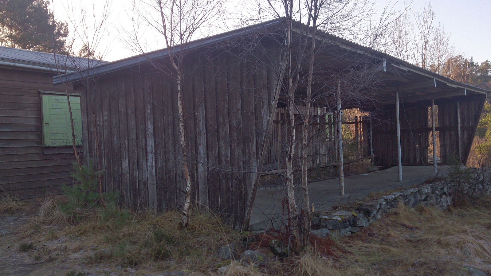
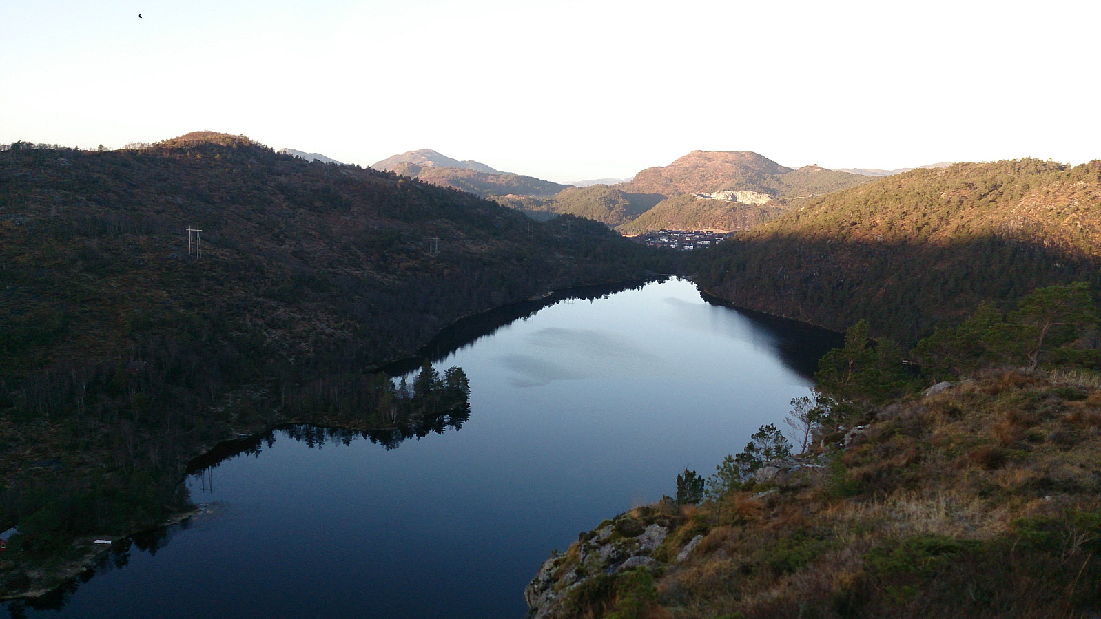
Another hike in Ytre Arna. This time the main goal being Ulvaberget. I started by taking the bus to Gamsevegen and following the gravel road that leads towards Sjurstonipa. After getting to the summit of Sjurstonipa I continued south to the old discontinued shooting range at the southern end of Stemmevatnet, and from there followed the trail towards Ulvaberget. The views from the summit were very nice, with steep cliffs down to Spåkevatnet, which was a bit surprising as the climb to the top was not particularly long or steep.
From the summit of Ulvaberget I decided to try walking along the western side of Spåkevatnet to get back to the road to the north of Gaupåsvatnet. I was therefore encouraged when seeing signs indicating that this was indeed an option. However, after following the trail along the lake for 10-15 minutes it came to an end by getting closer and closer to the edge of the lake and then finally ended up being completely under water.
Perhaps I was unlucky with the amount of water in the lake being particularly high this weekend, but I found no better alternative than trying to find another route higher up above the lake. This turned out to be more complicated than expected as the terrain was fairly steep and difficult to traverse. When I made it to the overhead power lines the progress got a bit easier.
Finally, I made it down to the northern end of the lake, only to see the reverse signs for the trail I apparently should have been using. I considered following the trail south again, if only to see where/if the trail started becoming walkable again, but rather decided to leave this for a future hike. The hike was therefore concluded by walking back to Gaupåsvegen and following it in the direction of Åsane before catching a bus back home.
| Start date | 27.11.2016 11:53 (UTC+01:00) |
| End date | 27.11.2016 15:33 (UTC+01:00) |
| Total Time | 3h 40min |
| Moving Time | 3h 28min |
| Stopped Time | 0h 12min |
| Overall Average | 3.1km/h |
| Moving Average | 3.3km/h |
| Distance | 11.4km |
| Vertical meters | 496m |


User comments