
Harafjellet and Store Kongshaugen (12.02.2017)

Written by hbar (Harald Barsnes)

| Start point | Storavatnet terminal (45m) |
|---|---|
| Endpoint | Loddefjord terminal (2m) |
| Characteristic | Hillwalk |
| Duration | 3h 08min |
| Distance | 12.2km |
| Vertical meters | 470m |
| GPS |
|
| Ascents | Harafjellet (122m) | 12.02.2017 |
|---|---|---|
| Store Kongshaugen (132m) | 12.02.2017 | |
| Visits of other PBEs | Gullaksdalen (23m) | 12.02.2017 |
| Store Kongshaugen utsiktspunkt (130m) | 12.02.2017 | |
| Vassenden skole (tuft) (29m) | 12.02.2017 |
Harafjellet and Store Kongshaugen
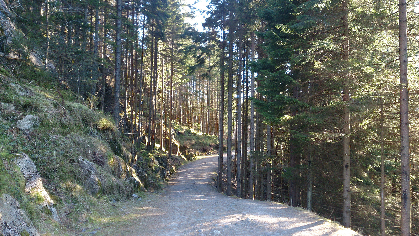
Started by taking the bus to Storavatnet Terminal. From there I tried to locate a trail to Harafjellet. I found one promising option, but either I lost it along the way or the trail did not go to the summit, so I ended up taking a shortcut through the terrain to get to the trail that follows the ridge of Harafjellet. The summit itself provided little with regards to views, but luckily I came across a local hiker that showed me a much better viewpoint just to the north of the summit. Hence I would strongly recommend walking these extra couple of hundred meters if visiting Harafjellet.
I then followed the trail back to Storavatnet and continued along the winding gravel road taking me all the way to Gullaksdalen, where I followed a smaller trail to the south end of Storavatnet. However, I then figured out that I had gone too far and missed my planned exit to Vassenden. I therefore doubled back and tried to locate the missed exit, but had no luck, even though this trail was clearly indicated on the map. In the end I decided to follow something that almost looked like a trail, and after a while I managed to locate the actual trail again. However, without the GPS as a guide this would not have been as easy.
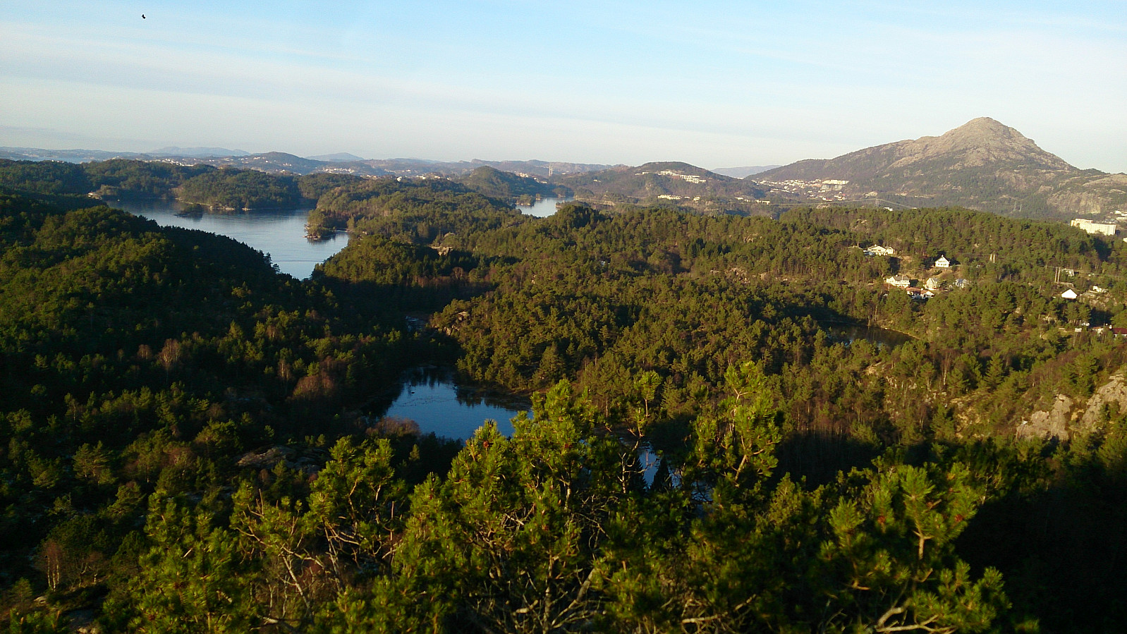
As soon as I made it to Vassenden the hike turned much easier, and I could follow the gravel roads all the way until reaching the road starting the accent to Store Kongshaugen. The final ascent along a quite steep paved road. In my mind the best views were obtained by moving north of the summit where one gets a very nice view across Storavatnet with Lyderhorn in the distance.
The hike was completed by walking the 5-6 km along the main road to reach Loddefjord Terminal for the bus back home.


| Start date | 12.02.2017 13:28 (UTC+01:00) |
| End date | 12.02.2017 16:37 (UTC+01:00) |
| Total Time | 3h 08min |
| Moving Time | 3h 00min |
| Stopped Time | 0h 7min |
| Overall Average | 3.9km/h |
| Moving Average | 4.0km/h |
| Distance | 12.2km |
| Vertical meters | 470m |


User comments