
Gladihaug from Knarvik terminal (28.01.2017)

Skrevet av hbar (Harald Barsnes)

| Startsted | Knarvik terminal (35moh) |
|---|---|
| Sluttsted | Knarvik terminal (35moh) |
| Turtype | Fjelltur |
| Turlengde | 4t 05min |
| Distanse | 13,9km |
| Høydemeter | 712m |
| GPS |
|
| Bestigninger | Gladihaug (430moh) | 28.01.2017 |
|---|
Gladihaug from Knarvik terminal
Started by taking the bus to Knarvik terminal and walking east along E39 to Mundalsbergtunnelen. However, as there is no sidewalk for the last stretch along the main road, I here had to use the smaller road, called Sjosidevegen, that starts at Ytre Gjerdeviki. When this road reconnected with E39, just before the start of Mundalsbergtunnelen, I turned north and started the ascent towards Gladihaug. The marked trail starts right behind the house at Sjosidevegen 176, and quickly turns east and then north following the ridge upwards. (Note that while there is a parking lot next to Sjosidevegen 176, it was currently closed due to work on the tunnel.)
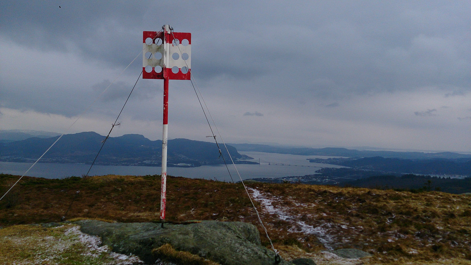
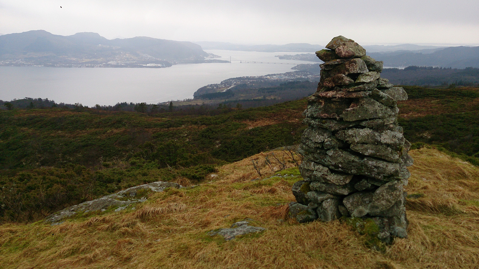
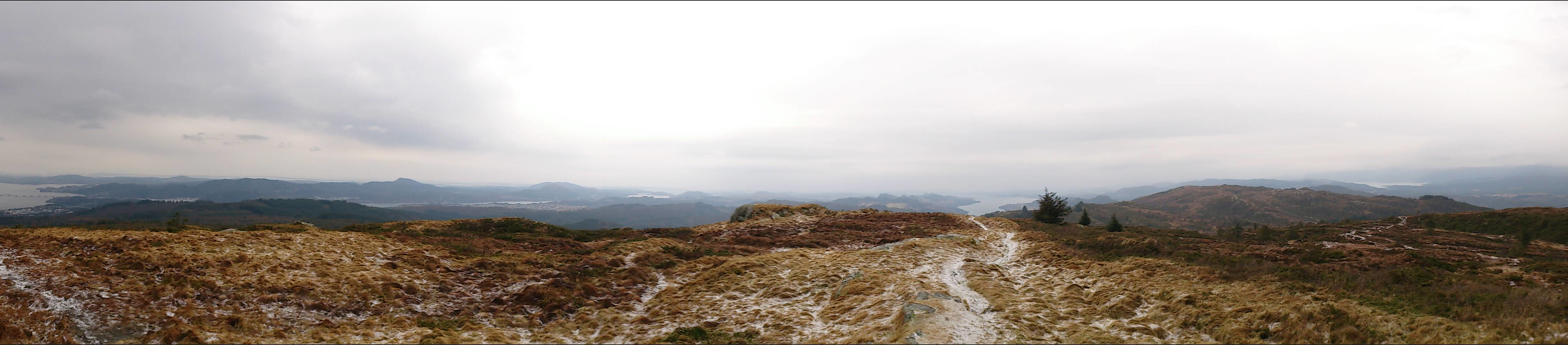
The trail was steep at places, but easy to follow. It also included more ups and downs than expected, especially for the section heading east towards Munndalsfjellet (see GPS track). Here the trail again turned north and kept in that direction until reaching the summit. Gladihaug provided excellent views in all directions, however on this particular day the low-hanging clouds limited the views somewhat. Same route back to Knarvik terminal and the bus back to the city center.
Overall, a very nice hike, although the weather conditions (rain for most of the hike and snow at the summit) could have been better.
| Starttidspunkt | 28.01.2017 11:47 (UTC+01:00) |
| Sluttidspunkt | 28.01.2017 15:53 (UTC+01:00) |
| Totaltid | 4t 05min |
| Bevegelsestid | 3t 45min |
| Pausetid | 0t 19min |
| Snittfart totalt | 3,4km/t |
| Snittfart bevegelsestid | 3,7km/t |
| Distanse | 13,9km |
| Høydemeter | 712m |


Kommentarer