
Skarafjellet and Lyseskarfjellet (Fanafjellet) (25.09.2016)

Written by HHauser (Helwig Hauser)

| Start point | Salbu (15m) |
|---|---|
| Endpoint | Salbu (15m) |
| Characteristic | Hillwalk |
| Duration | 2h 00min |
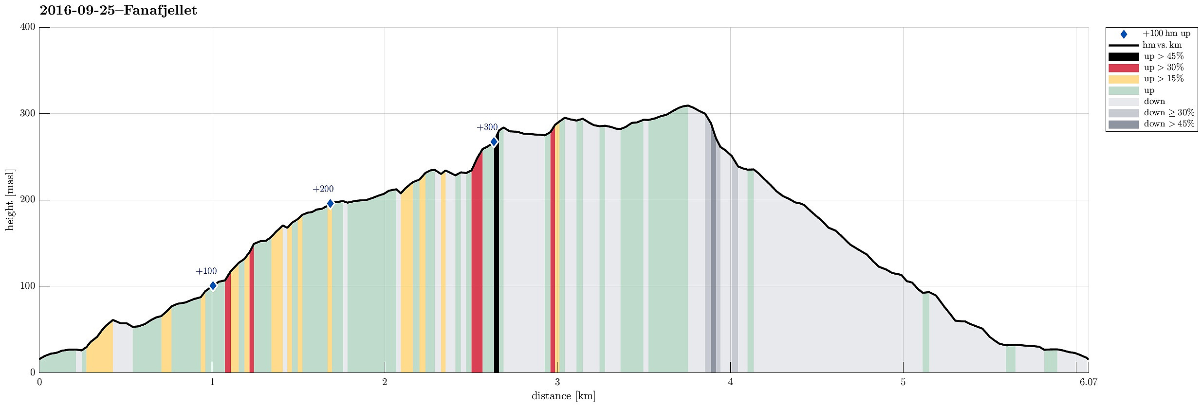
| Distance | 6.1km |
| Vertical meters | 377m |
| GPS |
|
| Ascents | Folldalshaugane (300m) | 25.09.2016 |
|---|---|---|
| Lyseskarfjellet (313m) | 25.09.2016 |

Trip Summary
We drove to Fana, south of Bergen, and took the road, which leads towards Krokeidet, along the southern shore of Fanafjorden. Near Salbu, we found a place, where we could leave the car, and started our hike from there. We passed the houses with numbers 264 and 260 (right there, it was not 100% obvious, how we could optimally connect to the forrest road, which we had planned to find. But continuing around the houses led us to the spot, where the forrest road starts (in southwestern direction). From there, it was "straight-forward", then---at least in the beginning. We followed the forrest road, which wind back and forth, while leading up the northern side of Fanafjellet. While the first few meters of this little forrest road are not really inviting, the picture changes quickly, as one ascends, and one finds oneself in an almost lovely area with views over Fanafjorden. When reaching about 175mosl, the forrest road ends and one needs to find an improvised way (that was expected). We stepped in southern direction, mostly across and in between also up (one needs to plan ahead, a little, since small cliffs offer unexpected extra-challenges in this otherwise rather flat terrain. Getting further south, enjoying nice views---in particular in northern direction---, we ascended towards Skarafjellet. On Skarafjellet, we connected to a simple path and followed this one (in eastern direction, across Folldalshaugane), approaching Lysekarfjellet. There, we briefly enjoyed the view in southern direction, before we continued (not at the least because of the strong winds, which we experienced on the top of this small mountain). We descended into Lysekaret and then followed the path downwards (through Lysekaret in northern direction). Rounding Kolhusfjellet (on our left), we connected to a simple forrest road, which ends there, coming up from below. From there, we simply followed the forrest road down, rounding Høgaberget and connecting back to Høgestølen and Salbu, where we had started. All in all, this was a short and enjoyable little hike up and down Fanafjellet---just enough to refresh our minds and souls a little! :-)
Photos
Selected photos are available as Google photo album.
Useful Resources
See also the related FB-page Hiking around Bergen, Norway.
Web page WestCoastPeaks.com provides useful information about Lyseskarfjellet and Høgeåsen and also Petter Bjørstad has a useful page about Fanafjellet.
On Bergentopp 200 there is a page (in Norwegian) about Lyseskarfjellet.


User comments