
Storhornet on Godøya - a MAD hike (01.10.2015)

Written by arntfla (Arnt Flatmo)

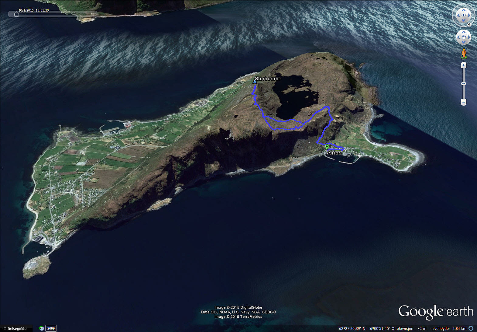
| Start point | Alnes (5m) |
|---|---|
| Endpoint | Alnes (5m) |
| Characteristic | Hillwalk |
| Duration | 3h 30min |
| Distance | 7.7km |
| Vertical meters | 500m |
| GPS |
|
| Ascents | Storhornet (497m) | 01.10.2015 |
|---|
(This article is written in English for the benefit of my colleagues)
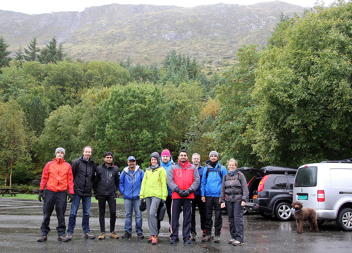
I had been given the assignment to organize an after work hike for the Rolls-Royce Marine Application Delivery team, also known by the most excellent abbreviation MAD...
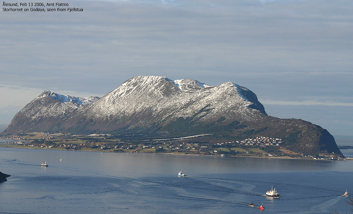
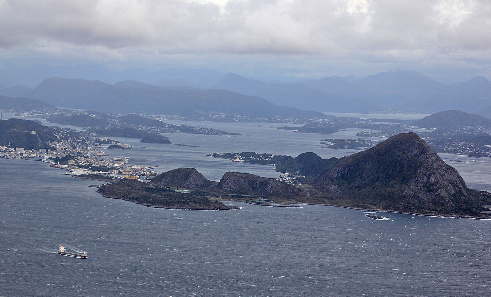
To find an appropriate mountain, I put a number of parameters (weather, hiking distance, elevation, vertical gain, driving distance, daylight, path quality, etc) into "the bowl", shook it and out came Storhornet (497 moh) on Godøya as the most interesting option. This is one of my favorite mountains, especially because of the view and the amazing weather one can experience up there. The plan was approved and on this Thursday afternoon, 11 MAD people headed for Alnes on Godøya.
The weather wasn't good at all when we left Ålesund. It was windy, it was raining and half the mountain was hidden in fog. But the spirit was good. We can all survive some rain but the wind was the unknown factor. With a wind of gale force strength - up to 20m/s, we weren't guaranteed to make it to the summit. Only time would tell...
The MAD team has quite an international "touch", and the ones that joined on this hike came from England, Scotland, Holland, Pakistan, India, Mexico, Australia and Norway. Many weren't familiar with Norwegian mountains in rough weather so the 3 Norwegians in the group brought bags of hats, gloves, jackets, shoes. And headlamps. Just in case...
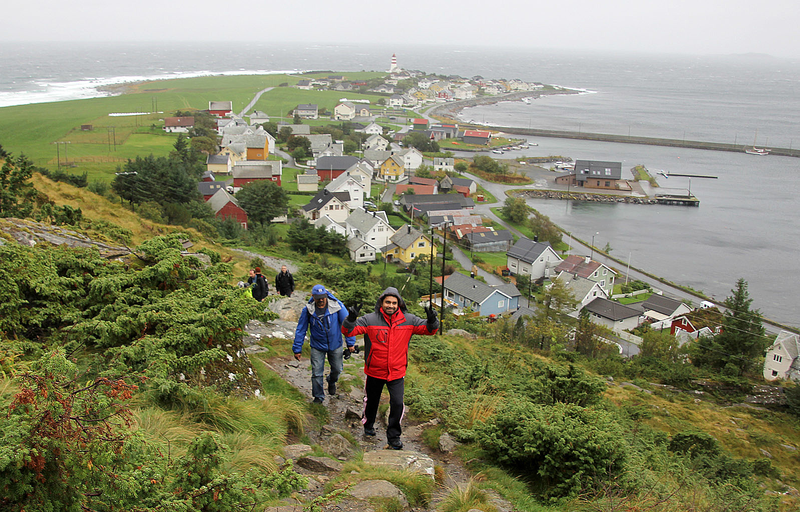
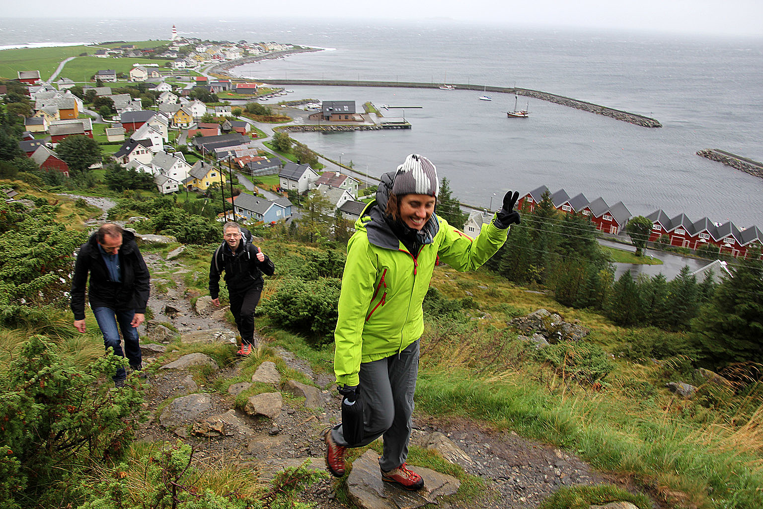
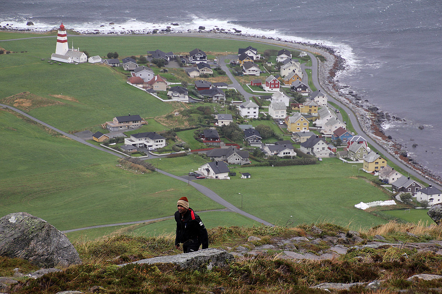
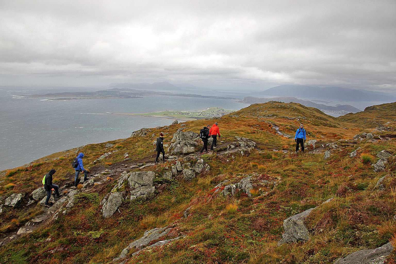
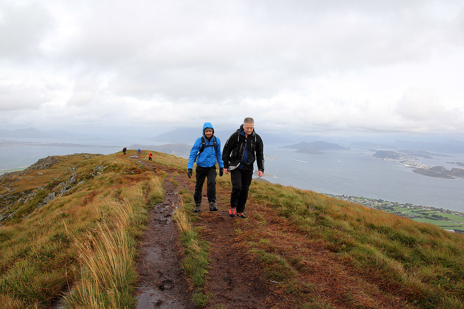
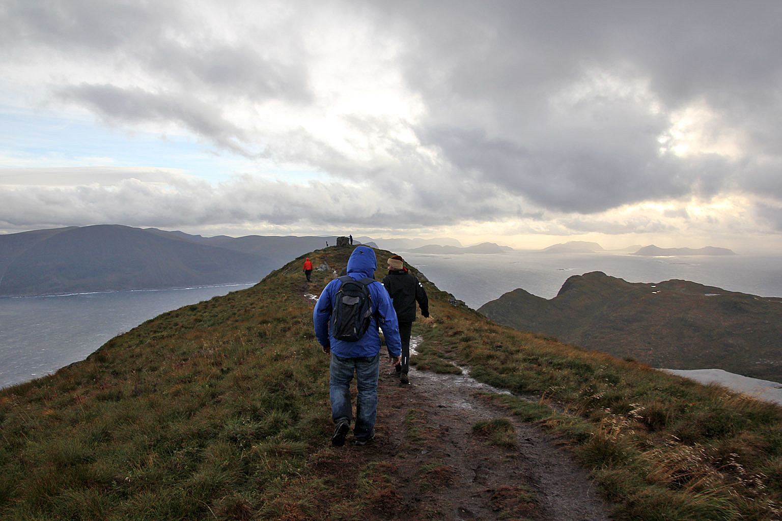
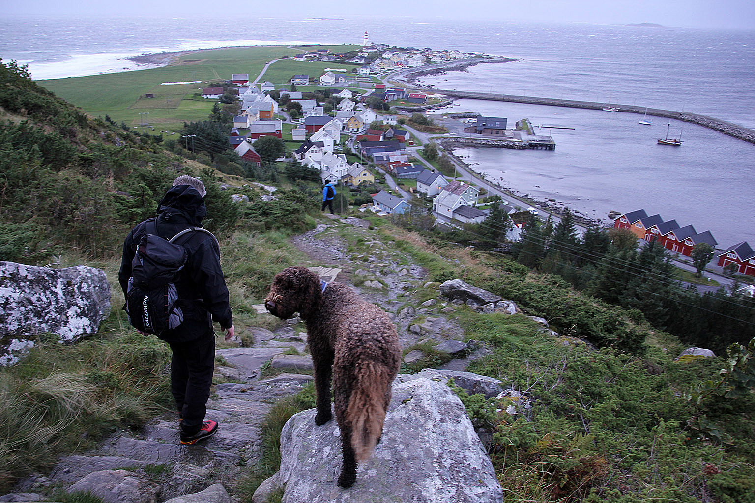
We hadn't walked for long before it was evident that the wind would be a significant factor today...
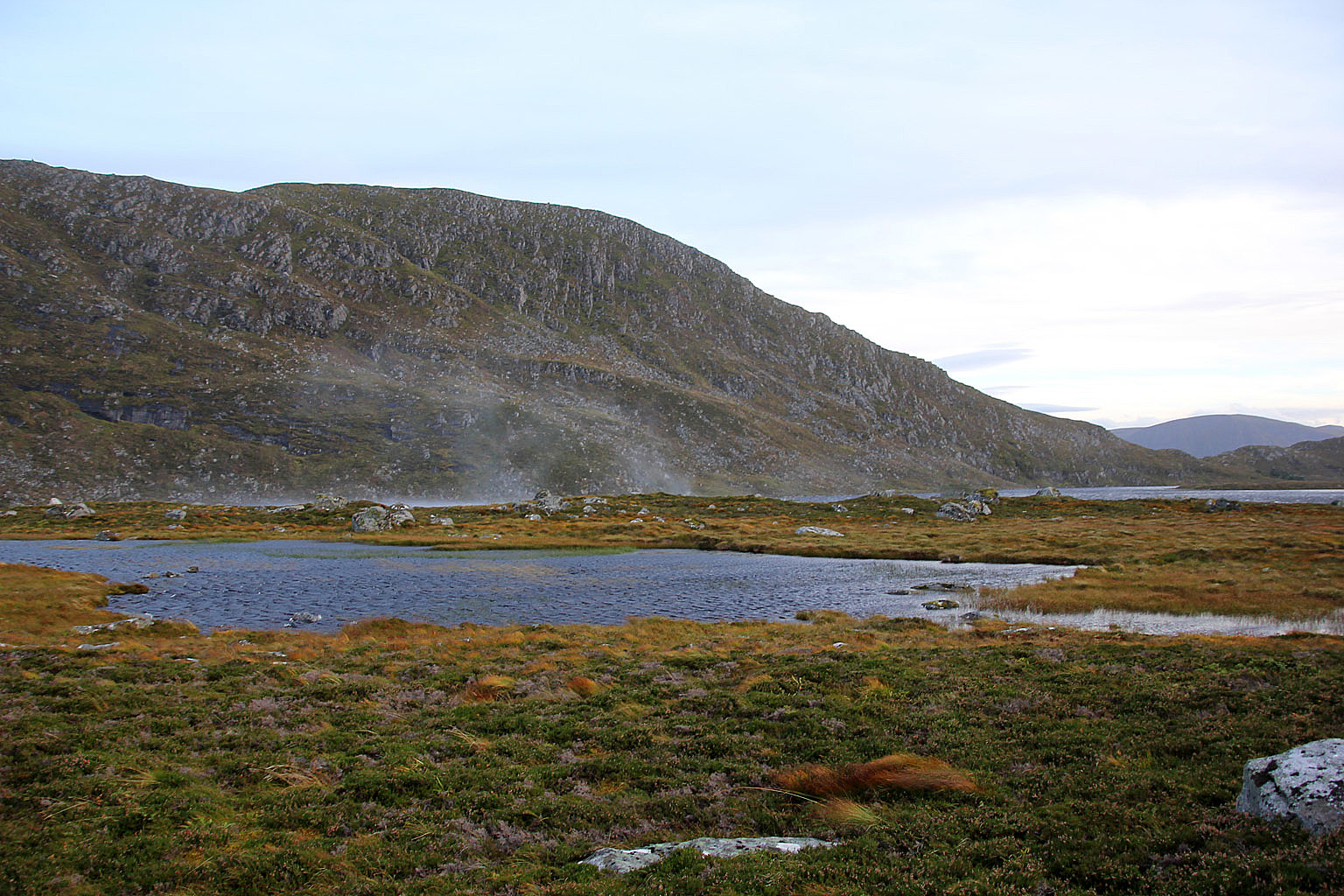
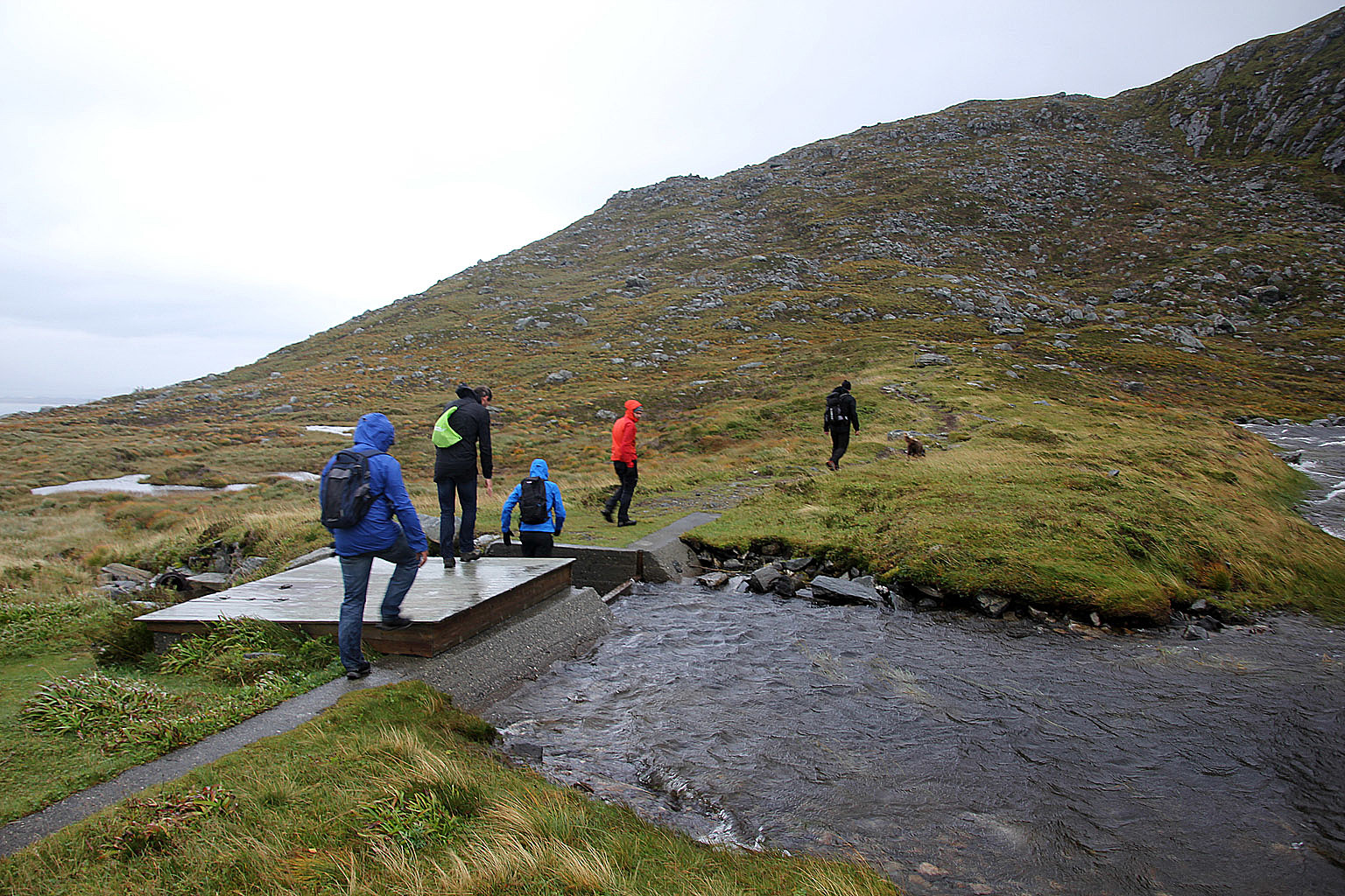
Another factor was that progress wasn't overall good. I had estimated the hike to be approx. 3 hours, which would get us down before darkness fell upon us. It took us 50 minutes just to get up to the plateau by the lake and it was clear that we would need a new plan.
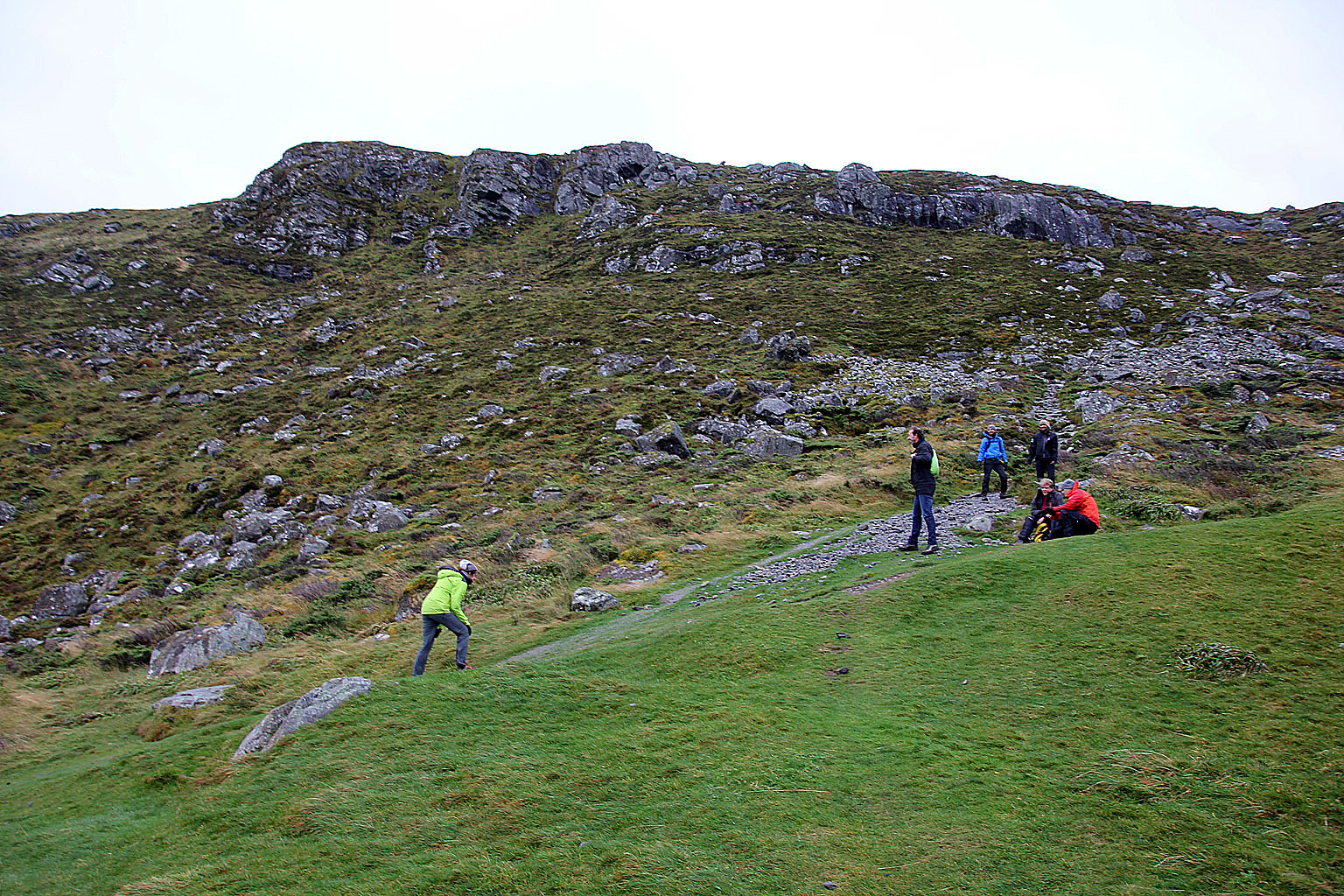
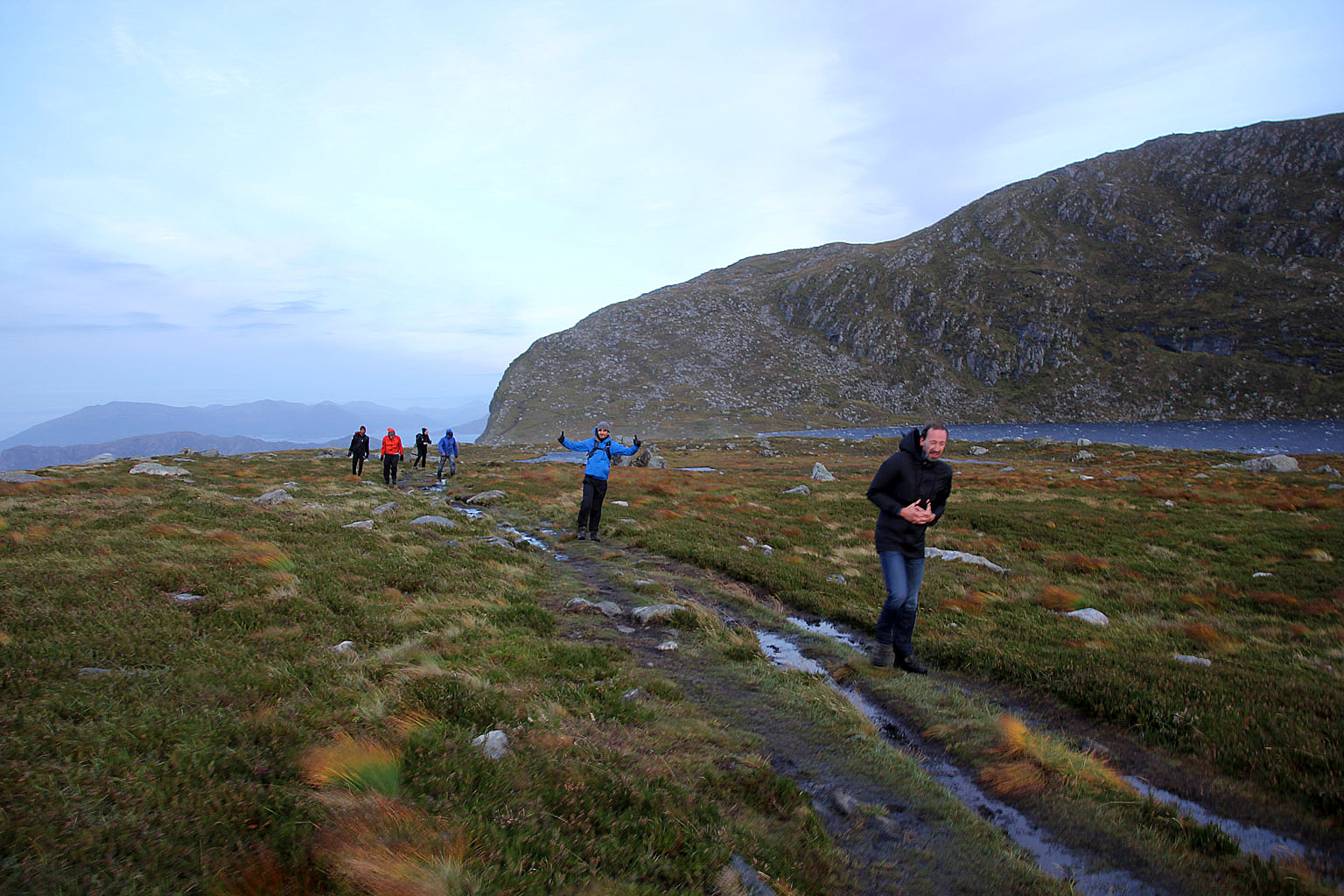
The new plan was to split the group into two. One group would go for the top at a faster pace than what we had accomplished so far. The other group would follow in their own pace and we would reunite upon descent. But I needed someone with mountain experience in the other group and when Trude volunteered, the plan was a GO.
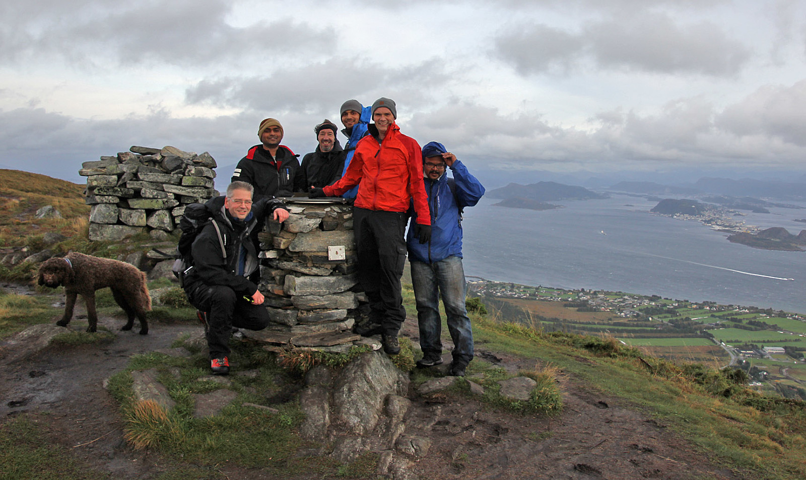
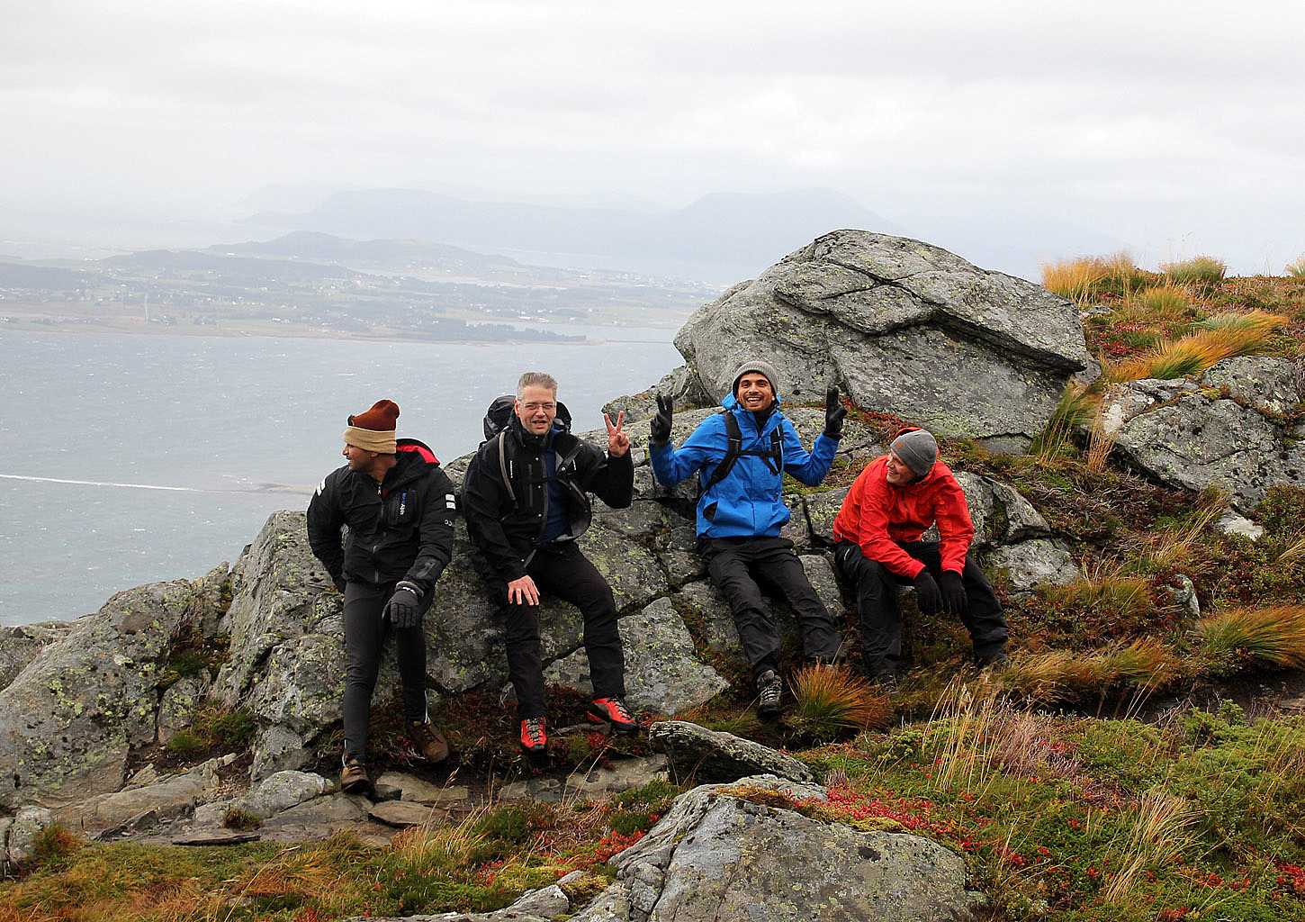
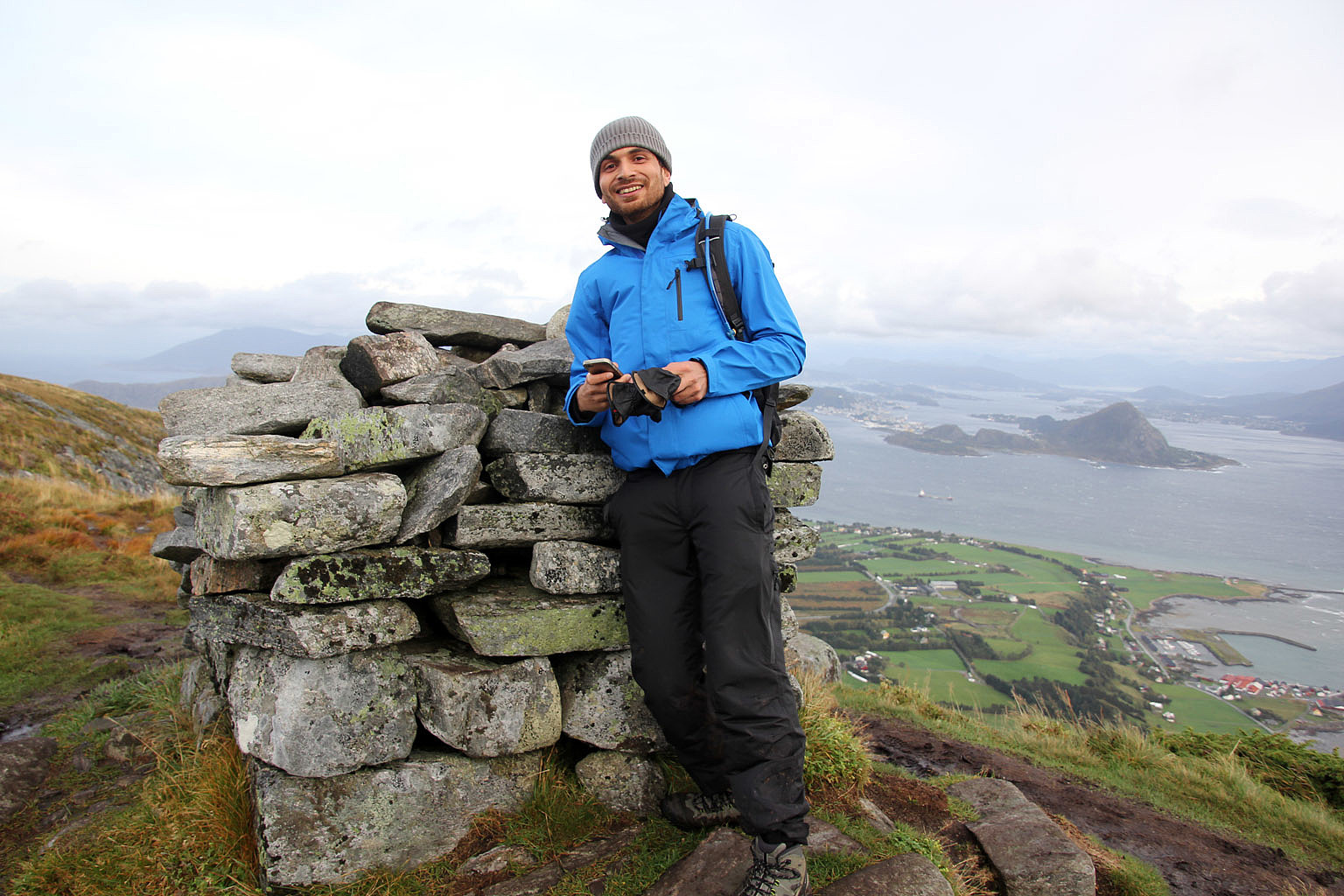
My group consisted of Irfan, Senthil, Srinivas, Wouter, Torgeir and Justin. And Karma - of course...
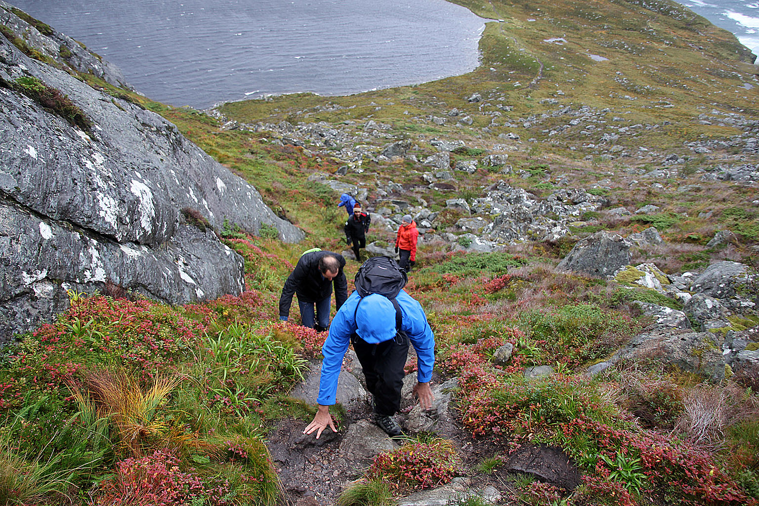
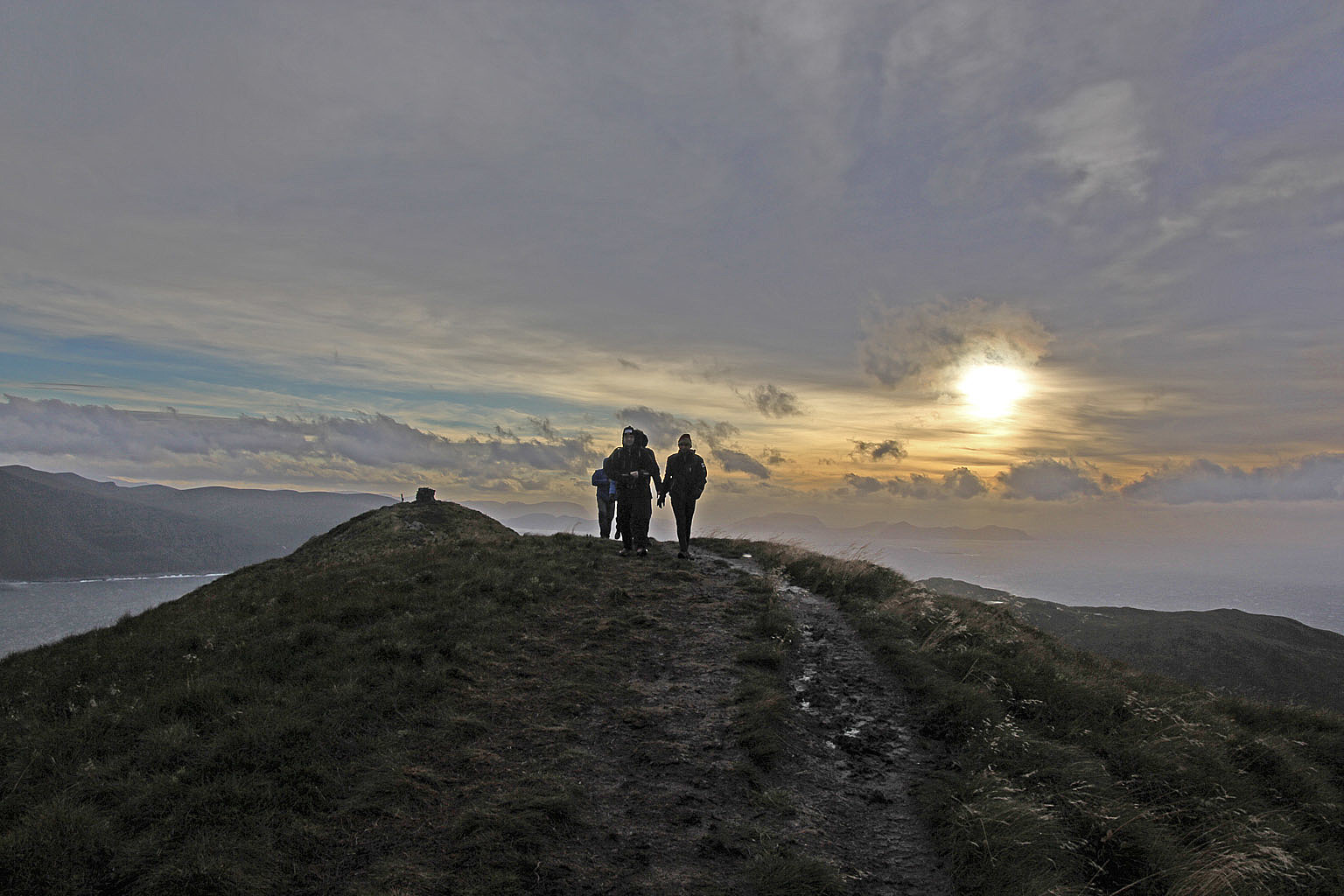
A slippery trail, slippery rocks and strong wind were factors the group had to deal with, but the overall progress was good. I was confident we would get up and back down before dark.
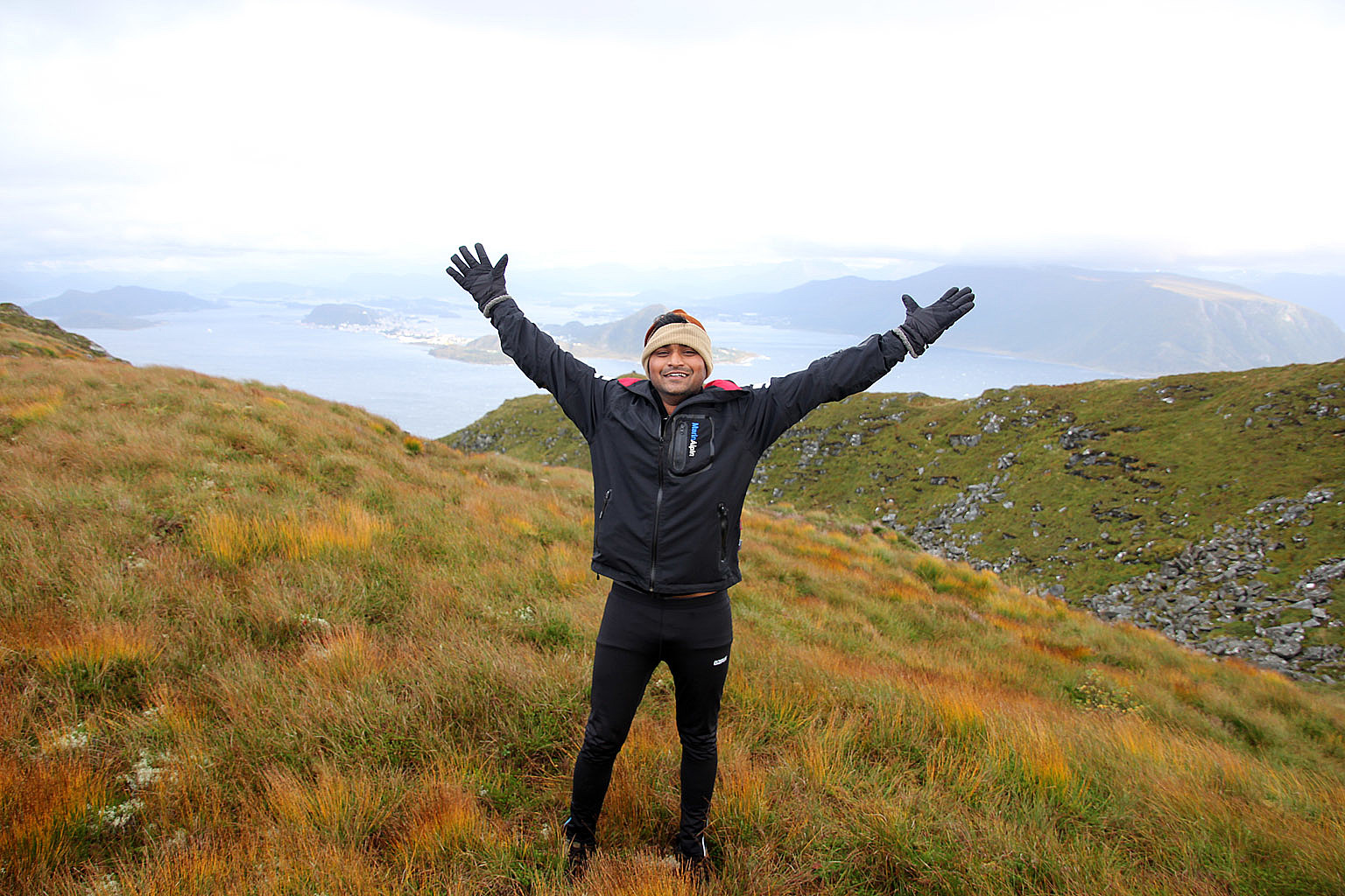
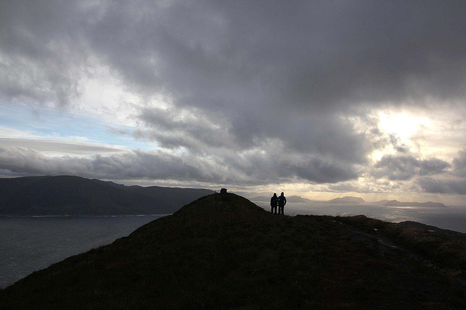
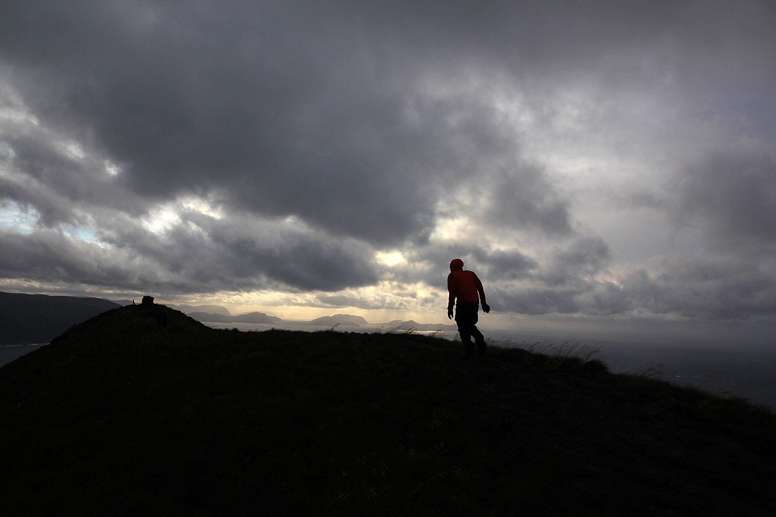
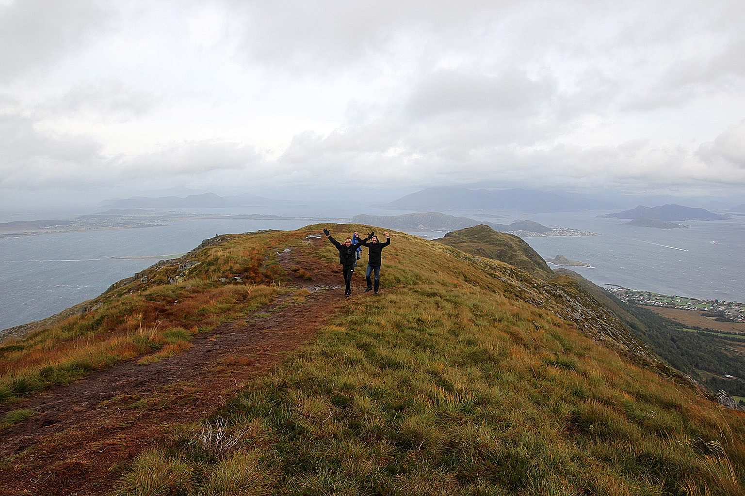
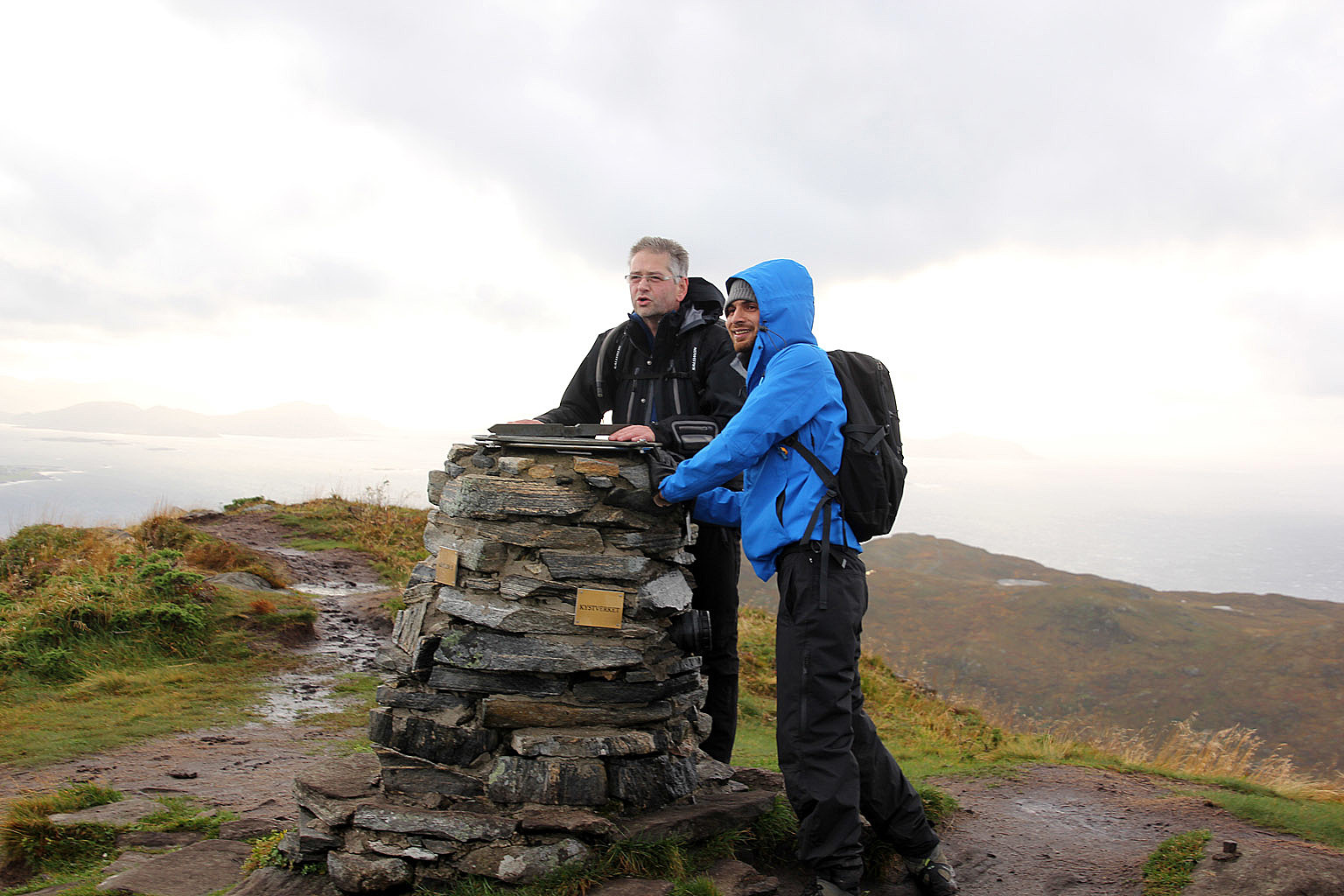
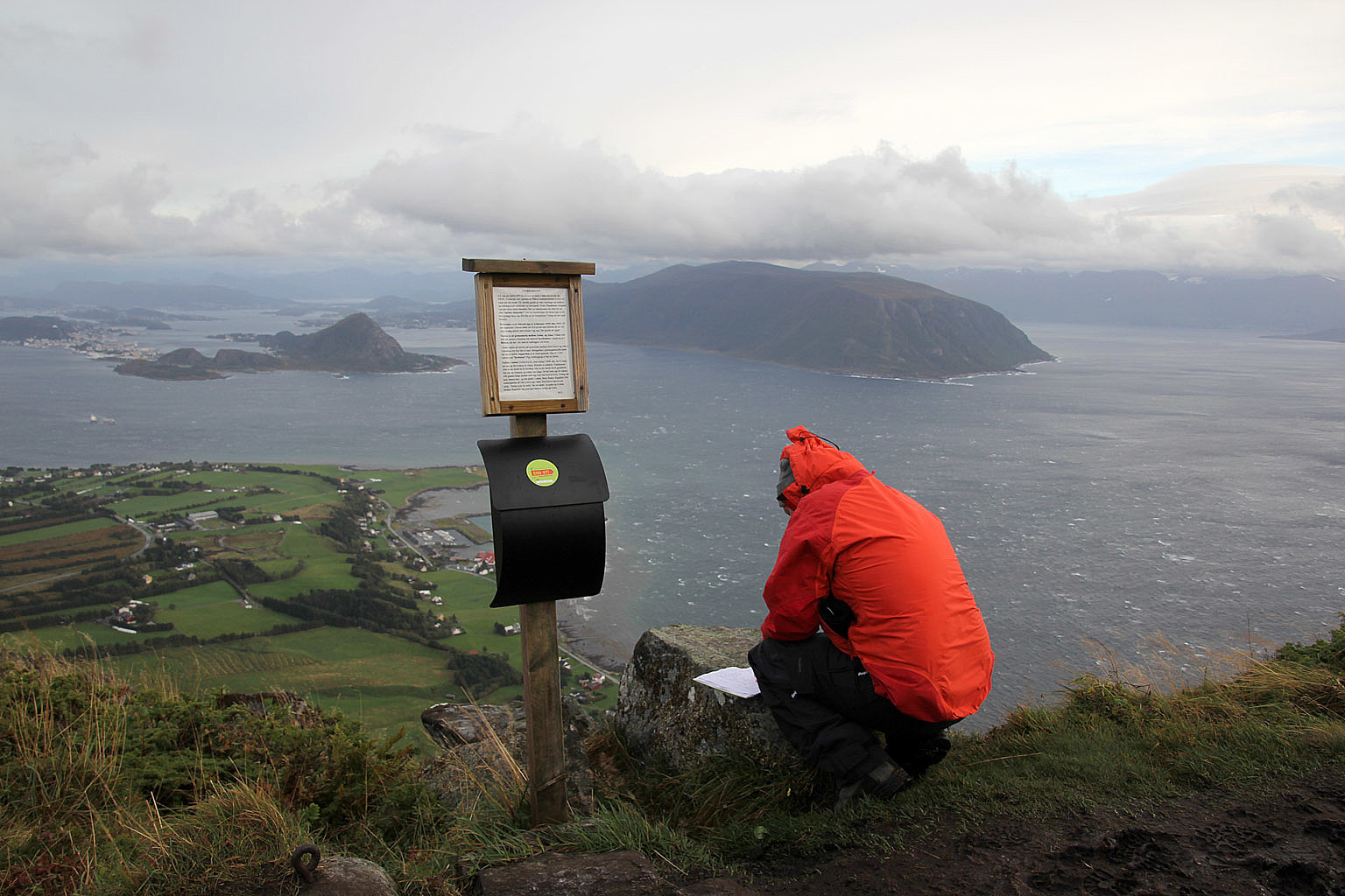
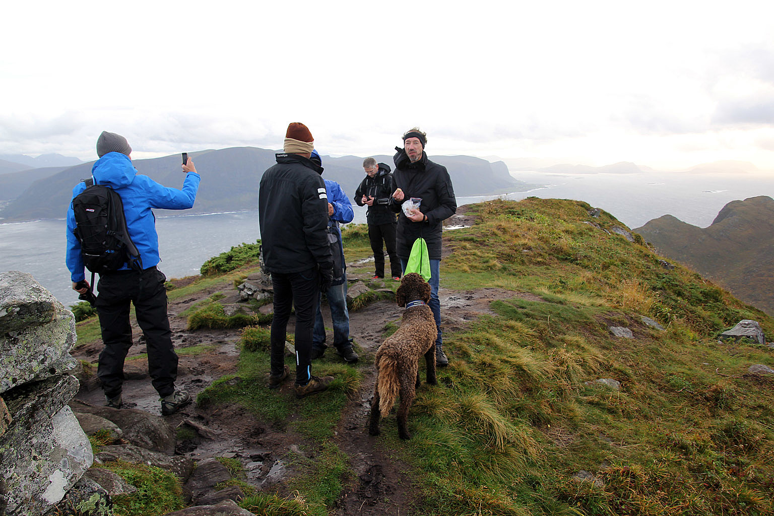
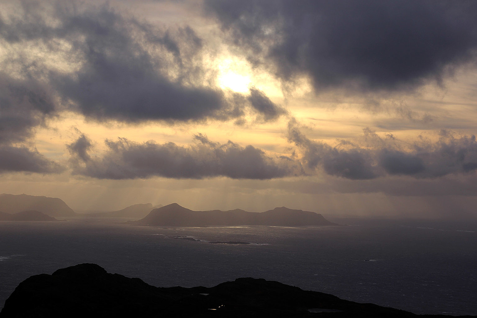
Amazingly enough, the wind decreased in force the higher we came and by the time we reached the summit (5:45pm) it wasn't bad at all up there. Moreover, it was no longer raining and the fog had left the mountain. Storhornet had turned into a nice place to be on this stormy afternoon. And after thirst and hunger had been satisfied, everyone was quite happy!
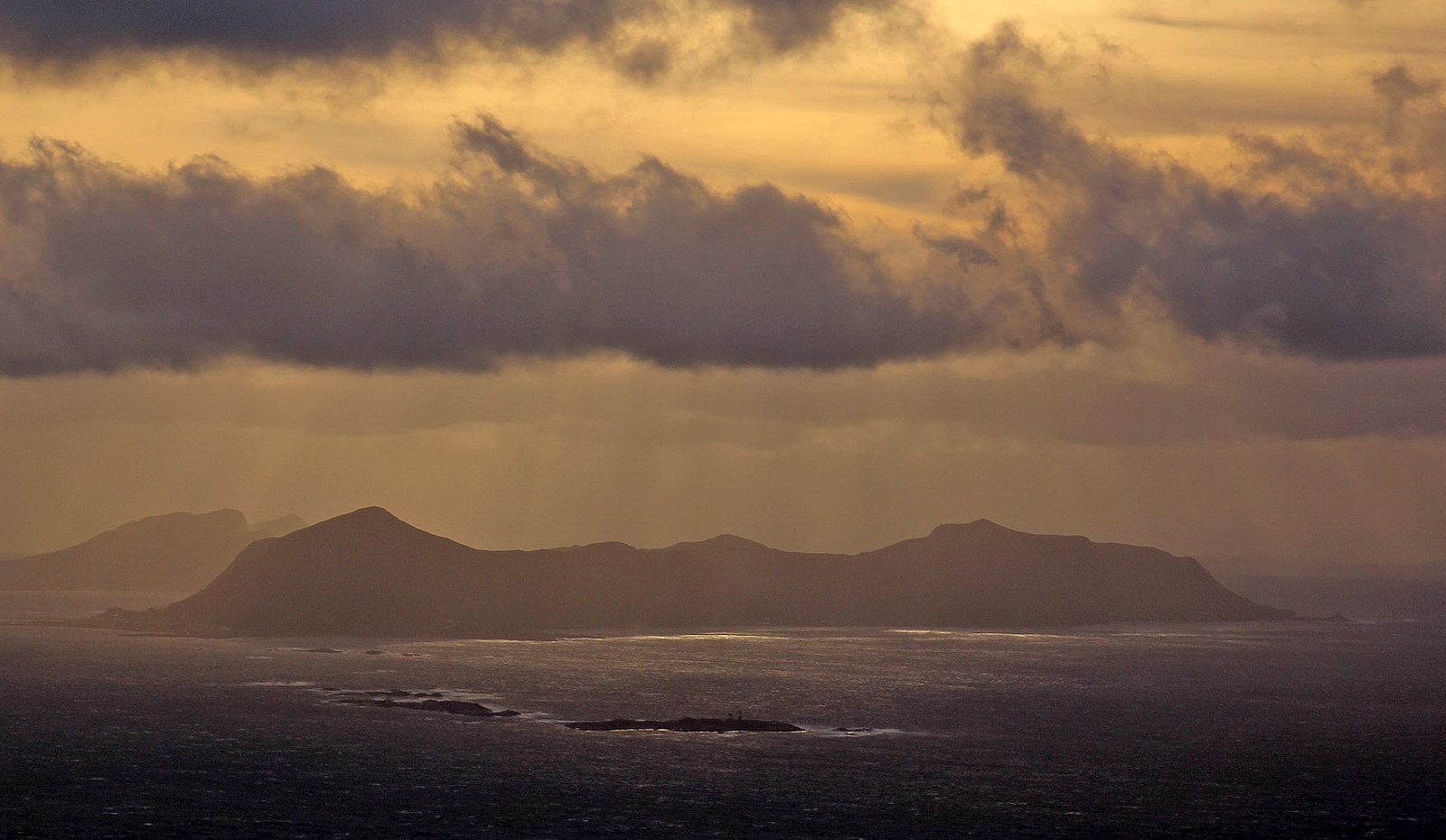
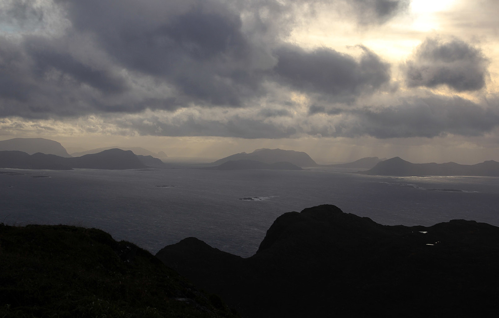
I haven't been up here in years, as it's quite a long travel from Gurskøy - even if the mountain is only 23km away from my house. But seeing the Ytre Søre Sunnmøre islands in afternoon glow, it reminded me why I used to go here all the time when I lived in Ålesund.
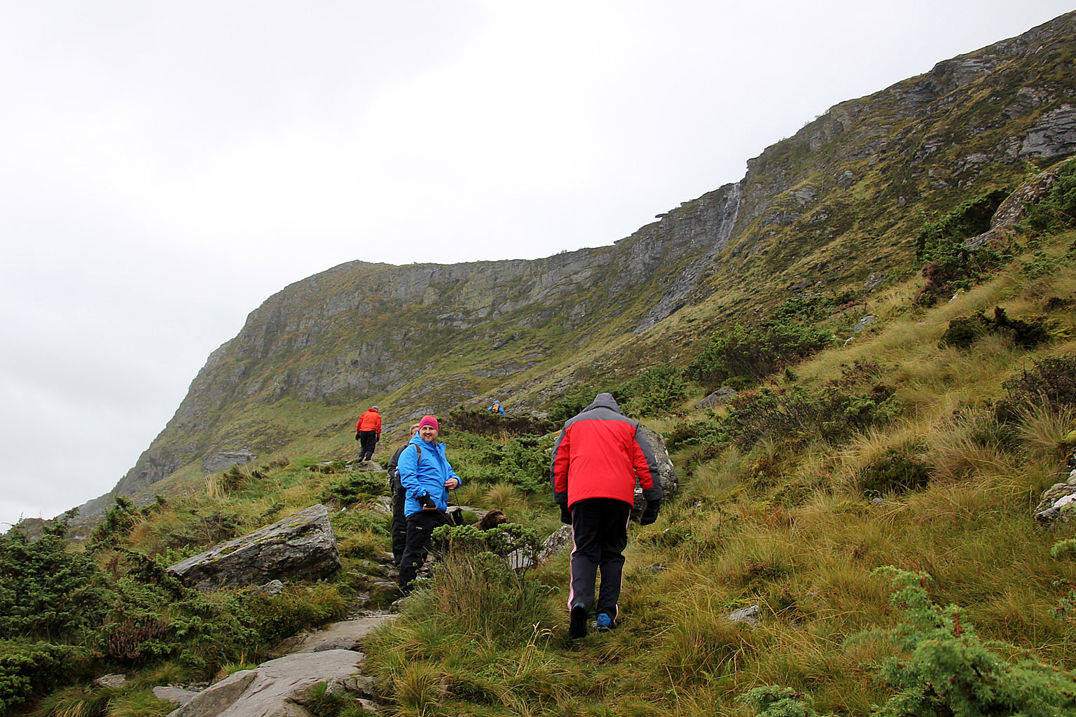
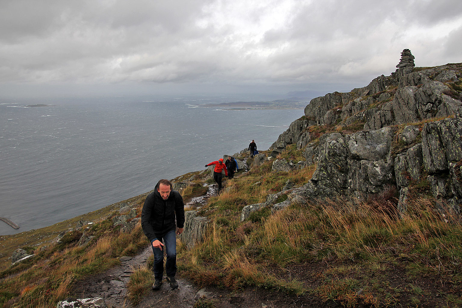
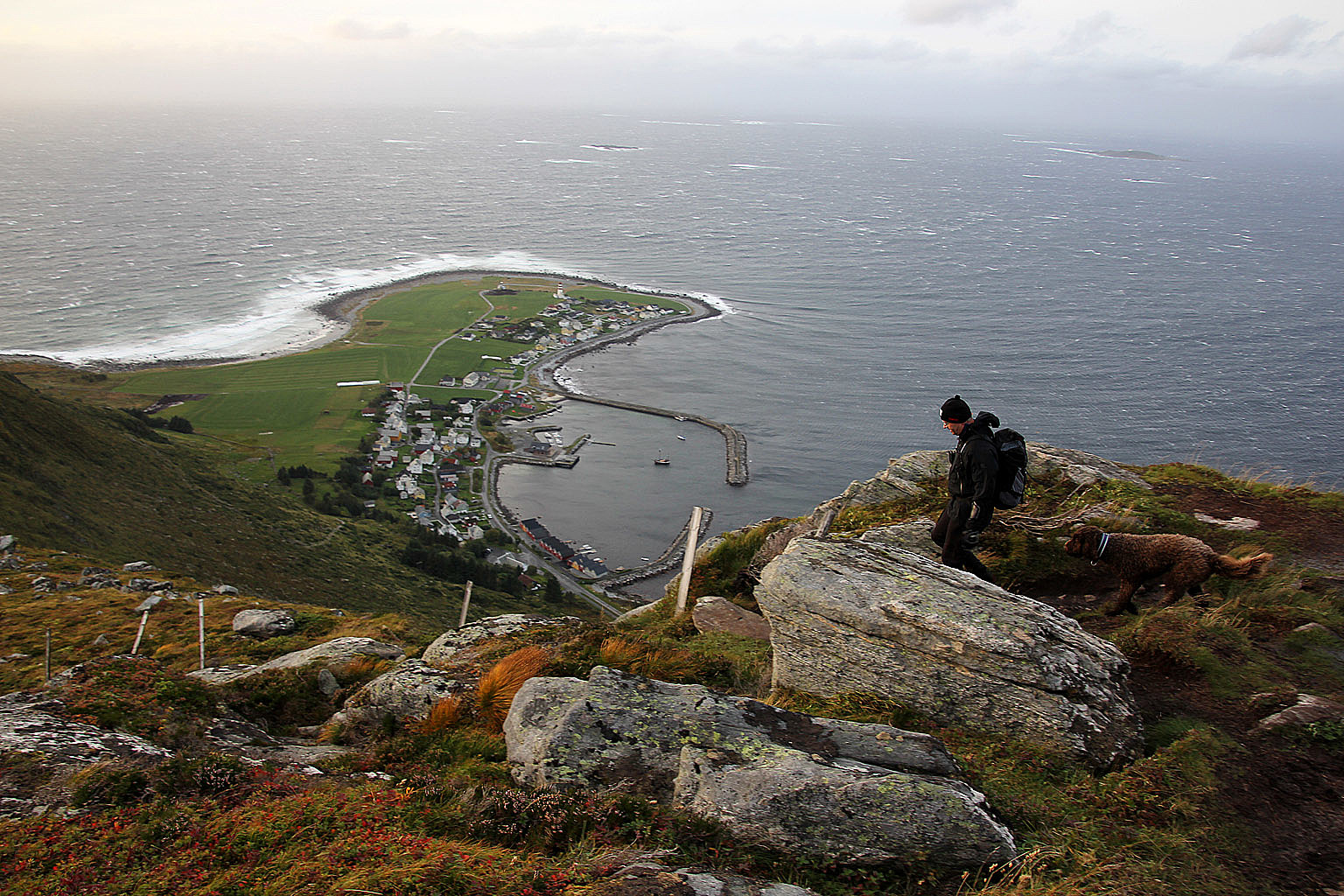
After a 15-minute break, it was time to head back down. As soon was we reached the cliffs above Alnesvatnet, we were back into the "inferno zone". For Norwegians living on the North Sea coastline, this was just "a bit windy", but for those not accustomed to this weather, I can well understand that they perceived it to be quite extraordinary.
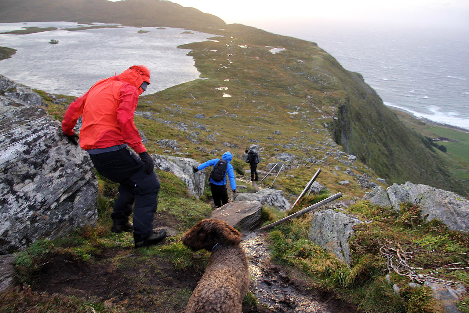
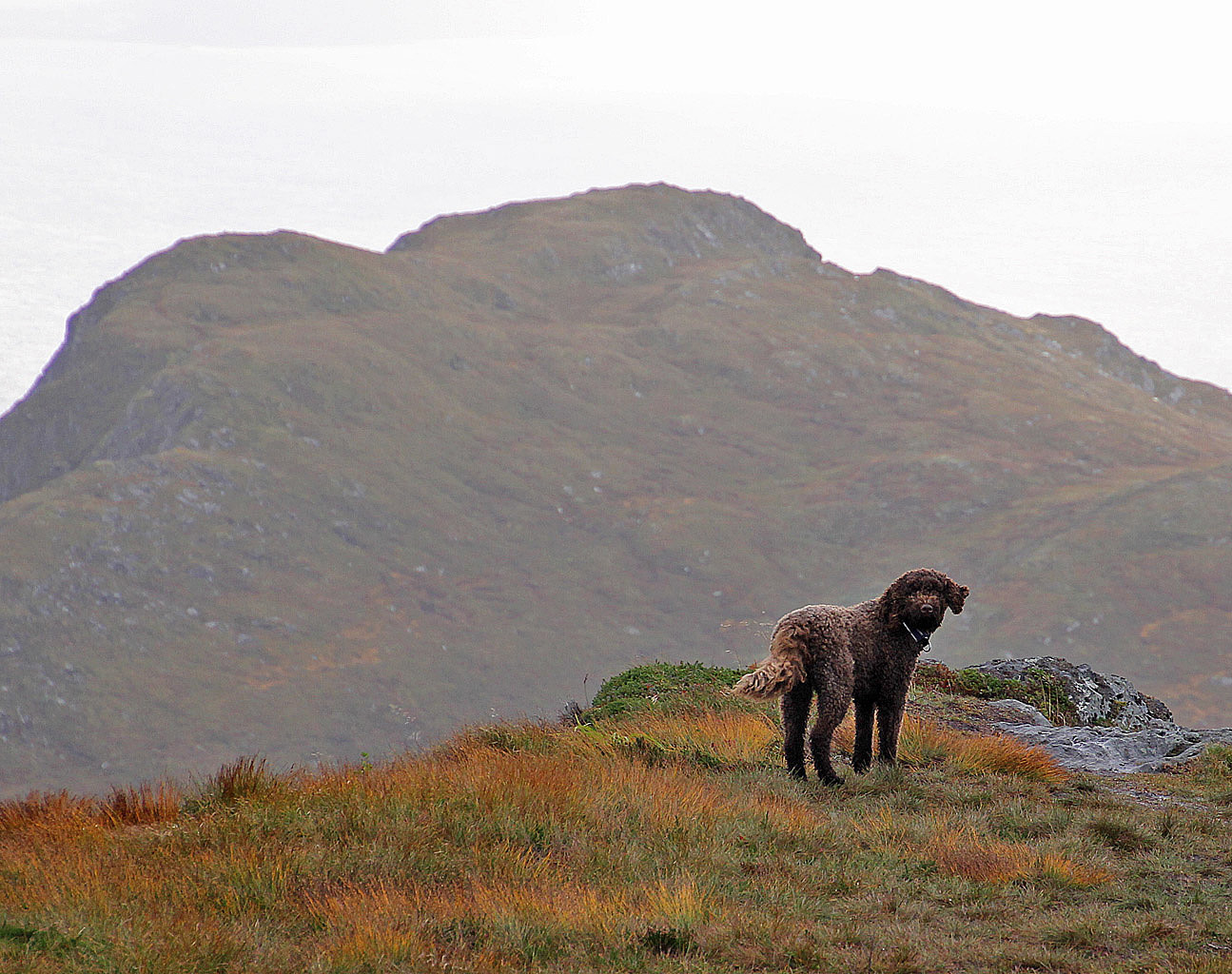
Priority #1 was to make sure no one blew off the cliff, but the group had discovered low gravity as a useful mechanism for safe movement. Karma (25kg) was seemingly having the time of her life, chasing the grass moving in the wind. I figured as long as she didn't fly away, the guys would be safe too...
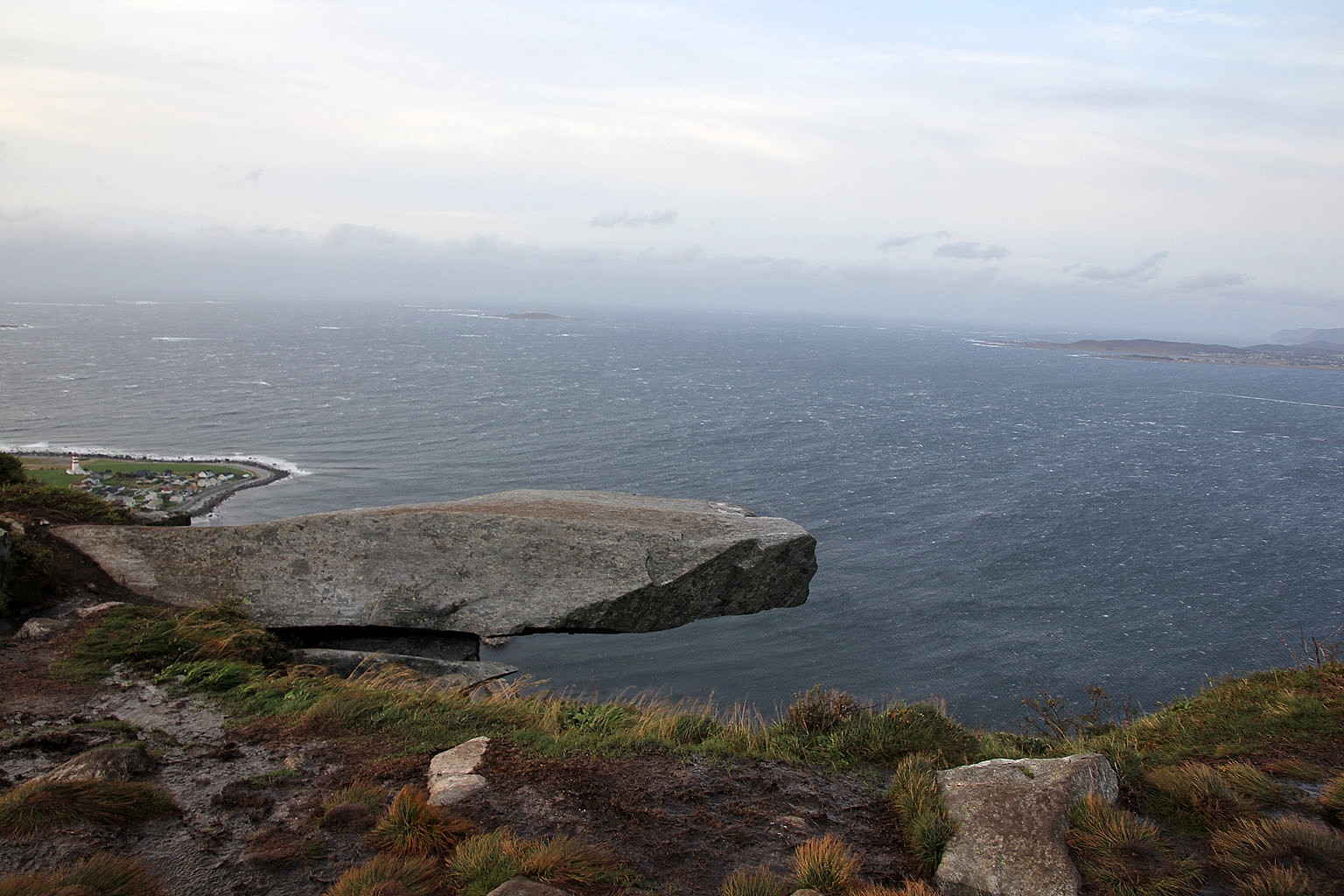
The famous rock "Johan Skytt" was a no-go today. Going out on this pointy rock would be hazardous stupidity. This place has also another interesting "feature". On very windy days, the wind takes the water from the waterfall below the rock and lifts it sky-high.
We didn't see the others and gave them a call. They had descended earlier and Marvin and Anthony waited for us down at Alnes when we arrived there 7:15pm. Trude and Carla had already left. It was too bad we had to break up the group because I really wanted everyone to reach the summit. But it wasn't the day for it. On the positive side, it seemed that the others had a good time anyway.
I expect we'll do more hikes together in the future, and if it's on my watch - I'll make sure *everyone* reaches the top! Thanks to my good colleagues for a most enjoyable afternoon!
Other pictures (sorry for the blurred ones, it wasn't easy standing still...)


User comments