
Raudlifjellet (22.08.2015)

Skrevet av HHauser (Helwig Hauser)

| Startsted | Tømmernes (60moh) |
|---|---|
| Sluttsted | Tømmernes (60moh) |
| Turtype | Fjelltur |
| Turlengde | 1t 30min |
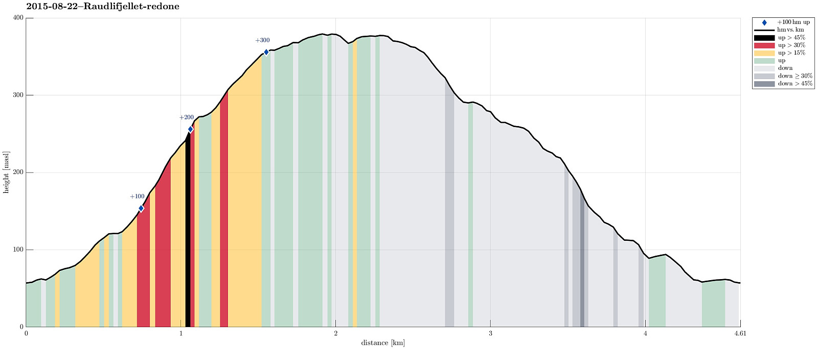
| Distanse | 4,6km |
| Høydemeter | 362m |
| GPS |
|
| Bestigninger | Nordhordlandskulten (389moh) | 22.08.2015 |
|---|---|---|
| Andre besøkte PBE'er | Sælafjellet (374moh) | 22.08.2015 |
Trip Summary
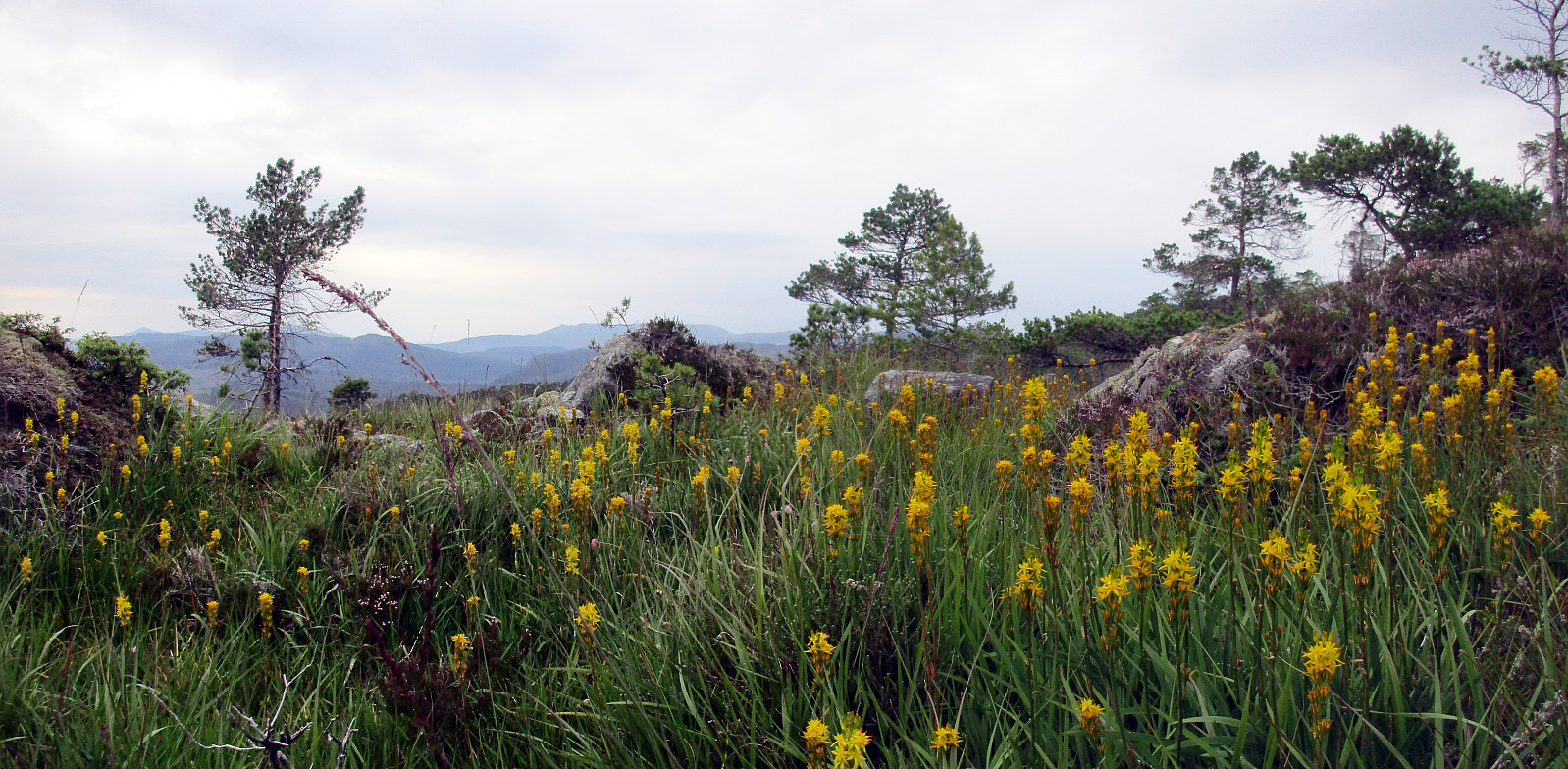
A few hundred meters south of the gas station in Søfteland (along the E39), a narrow bridge leads over to Tømmernes. Behind there, right before crossing the little stream, which comes down there to enter Røkenesvatnet, we parked the car and walked into Botnabekken. We first tried to find a forest road on the northern side of the stream, but this was mostly forest terrain -- very wet, actually! About 100 height meters up in Tømmernesdalen, we crossed the stream, again, and continued -- steeply! -- towards the east (and up Raudlifjellet). This ascent was mostly without any path (at least not any visible path) -- still, this worked pretty nicely and we quickly arrived on a nice long ridge that would bring us to the top. Up on Raudlifjellet, we connected to the path that we had walked before (in 2014) and returned on it back to our car.
Photos
Selected photos are available as Google+ photo album.
Useful Resources
Web page WestCoastPeaks.com provides useful information about Raudlifjellet
and also Petter Bjørstad has a useful page about Raudlifjellet (Sælefjellet).


Kommentarer