
Storafjellet and the western end of Fanafjellet (16.08.2015)

Written by HHauser (Helwig Hauser)

| Start point | Breivika (15m) |
|---|---|
| Endpoint | Breivika (15m) |
| Characteristic | Hillwalk |
| Duration | 3h 00min |
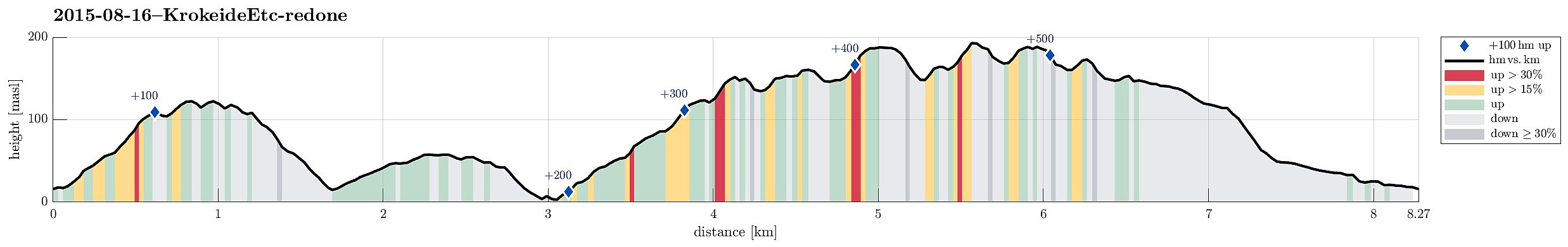
| Distance | 8.3km |
| Vertical meters | 534m |
| GPS |
|
| Ascents | Storafjellet (126m) | 16.08.2015 |
|---|---|---|
| Storemunken (191m) | 16.08.2015 | |
| Visits of other PBEs | Krokeide p-plass (15m) | 16.08.2015 |
| Urafjellet (190m) | 16.08.2015 | |
| Storemunken utsiktspunkt (189m) | 16.08.2015 |
Trip Summary
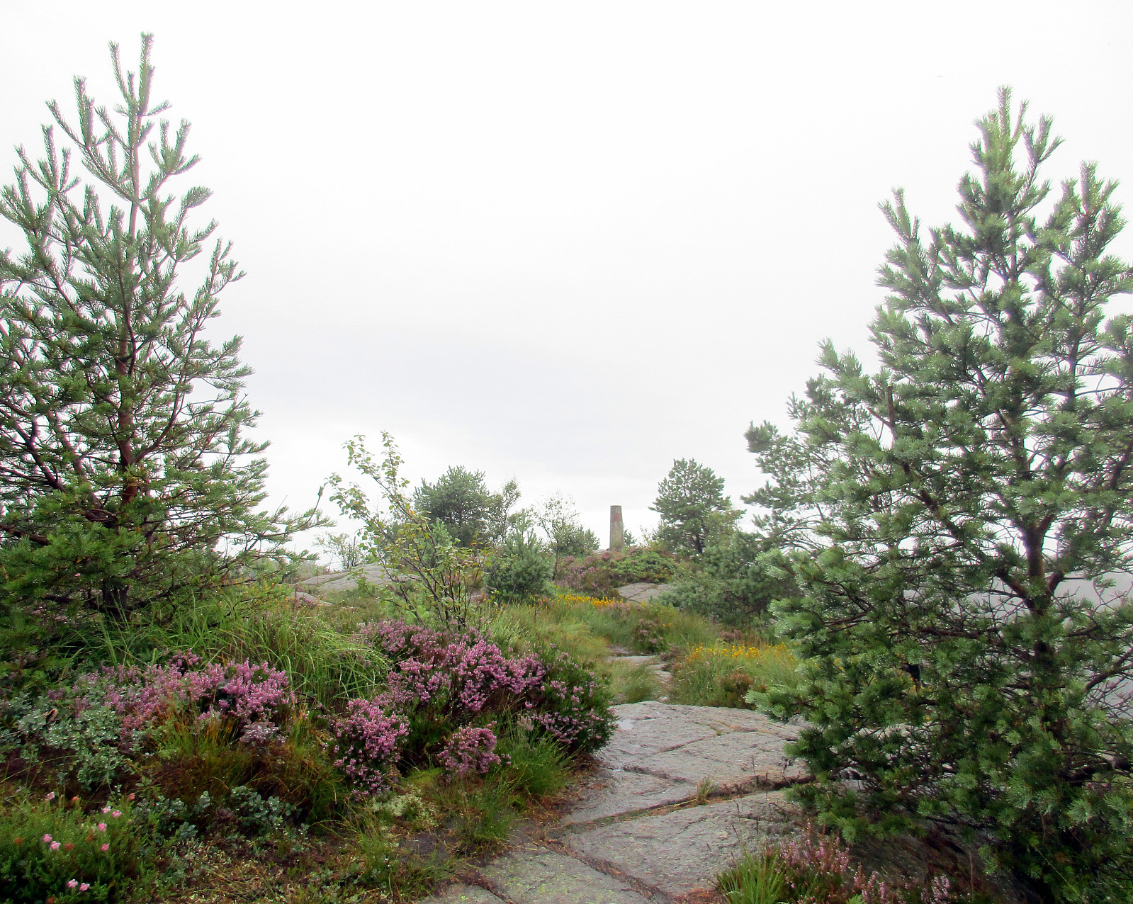
After having read Petter Bjørstad's page about Storafjellet, I was well prepared to get started. The day was very wet, but it was not cold -- so I enjoyed myself! :-) I found the path as described and ascended quickly to Storafjellet (funny name -- means "the big mountain" -- for a quite insignificant hill!). I continued further, descending towards Krokeide, coming down to a road called Svartefjorden. I did not follow this street, however, but descended all the way down to Eidet, where connected to the main road (Krokeidevegen) -- very near to the ferry pier! From there, I went back up (the main road) until I turned right into Austrevågen (quite on top of the small saddle over which the main road leads). I first did not find my way down to the bay Austrevågen, but after a short forth and back, I found it nonetheless (following the road called Austrevågen right away would have helped :-)!). I rounded the bay and found a forrest road on my left, just a few meters after having been down at the bay. This forrest road leads gently upwards and eventually leads to Hisdalsvatnet. Shortly before getting there, however, a hiking track leaves to the left (well marked with a sign "to Fanafjellet"). I then took this path, which leads upwards at a good rate (mostly towards East). Unfortunately, I was unable -- before my hike and afterwards -- to locate this path (as well as others in this area) on any map that was available to me. This caused that I became a little unsure, after a while, whether it wouldn't continue to much south of what I had in mind (I wanted to connect back to my car, of course, on the north side of this peninsula). This made me leave the nice path at one moment, ascending to a small top (Urafjellet, I think). There, I recognized that I was still too far south, so I returned to the path and followed it further. I ended up on Storemunken, from where I descended (there without path) towards Stora Munketjørna. I rounded the little lake and connected to Litla Munketjørna via Litlemunken. I continued northwards, following a wet but well visible path (into the direction of Krokavilet). I ended up on a very good path -- surprised! :-) -- that took me around Rødsaksla and down to the main road (Krokeidvegen), again. From there (Rød), it then was only a very short walk along the road back to the car. All in all, this hike was very wet :-), but still very nice and enjoyable.
Photos
Selected photos are available as Google+ photo album.
Useful Resources


User comments