
Storrinden (19.06.2015)

Written by HHauser (Helwig Hauser)

| Start point | Storrinden (75m) |
|---|---|
| Endpoint | Storrinden (75m) |
| Characteristic | Hillwalk |
| Duration | 0h 45min |
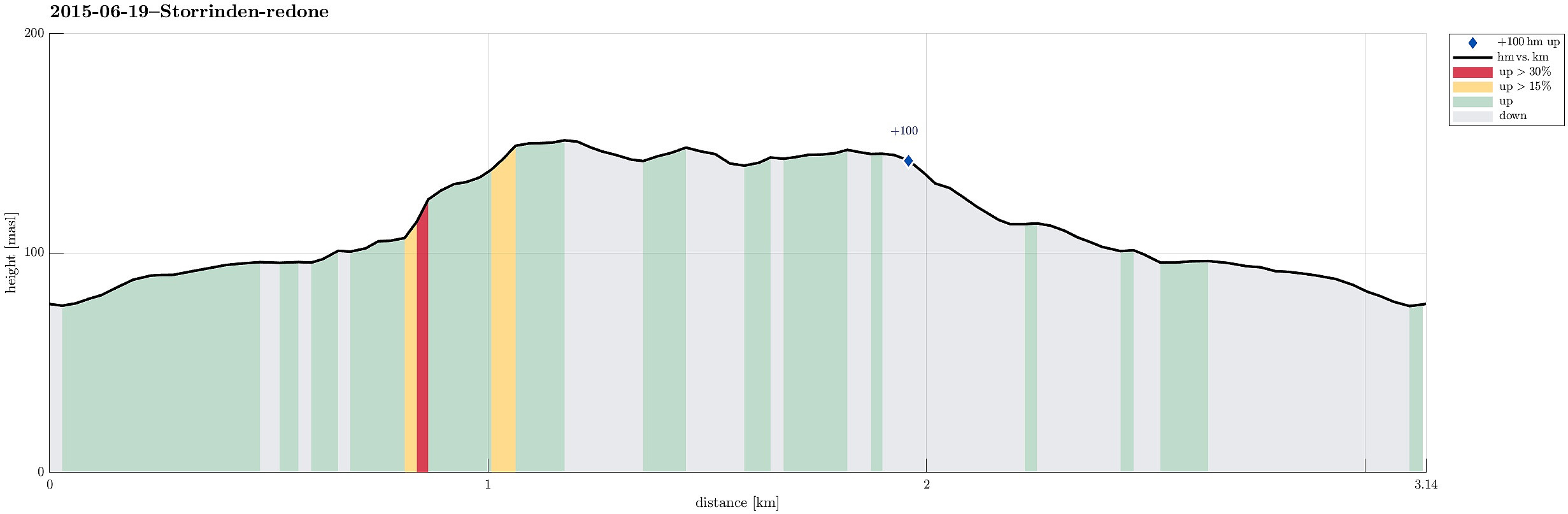
| Distance | 3.1km |
| Vertical meters | 106m |
| GPS |
|
| Ascents | Storrinden (153m) | 19.06.2015 |
|---|---|---|
| Visits of other PBEs | Storgrinden (148m) | 19.06.2015 |
| Storrinden utsiktspunkt (142m) | 19.06.2015 |
Note that this track has been created a posteriori, i.e., from memory, not automatically recorded.
Trip Summary
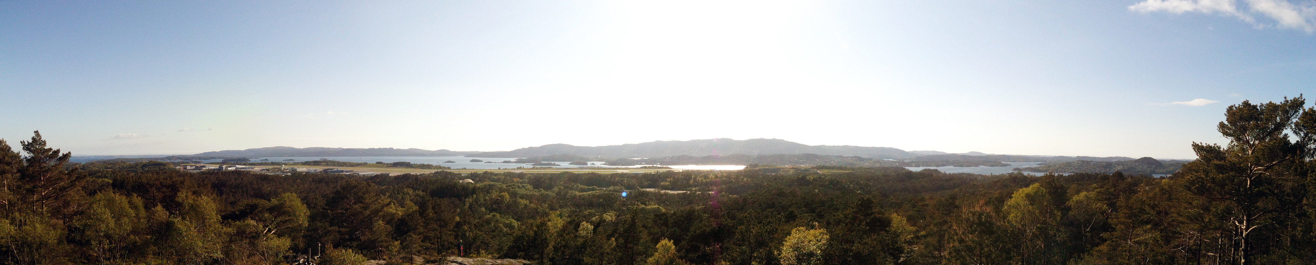
Leaving Kokstadvegen to Storrinden, a parking place was found after about 100m. From there, it's just following a gravel road up to the "top" (at times, one can follow a trail, which is easy to find and follow). On the top, one sees (a bit) towards the east and north (even though the trees are too high to really have a good view). On the other side, one can look down onto Flesland airport, which is a worthwhile experience! :-) All in all, this really is an easy and quick tour (45mins., or so).


User comments