
Haggardsrinden and Kolhusfjellet (19.04.2015)

Written by HHauser (Helwig Hauser)

| Start point | Myrdalsvatnet (75m) |
|---|---|
| Endpoint | Myrdalsvatnet (75m) |
| Characteristic | Hillwalk |
| Duration | 2h 30min |
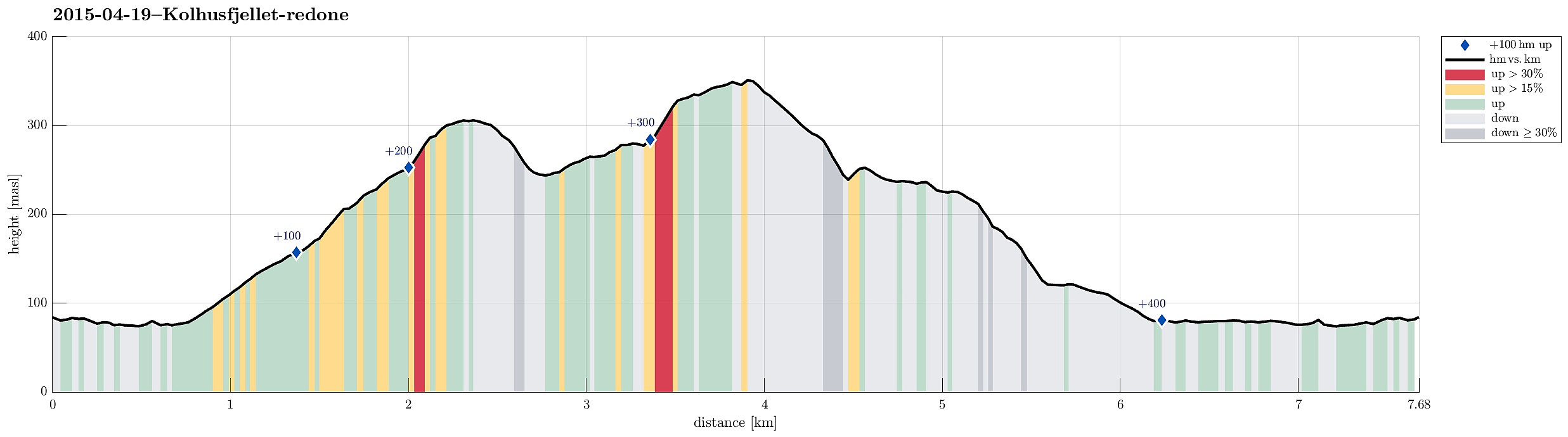
| Distance | 7.7km |
| Vertical meters | 435m |
| GPS |
|
| Ascents | Haggardsrinden (310m) | 19.04.2015 |
|---|---|---|
| Kolhusfjellet (353m) | 19.04.2015 | |
| Visits of other PBEs | Myrdal parkering (80m) | 19.04.2015 |
Trip Summary
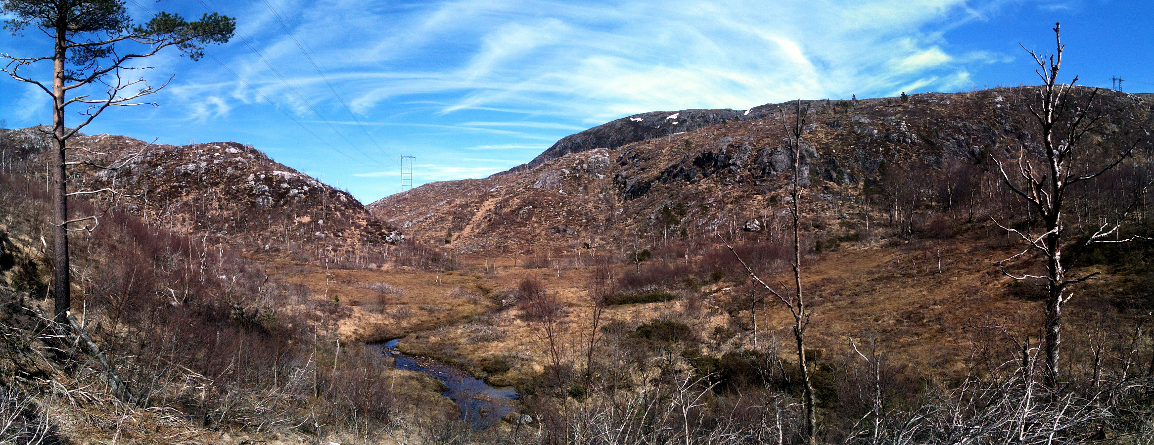
Starting from the parking place near Myrdalsvatnet, we first followed the path around the lake. Soon, we followed the path upwards that also is known as Kubakkane. Shortly before reaching the top, where one would get over to Totland, again, we turned right and fought a short bush war up to Haggardsrinden. From the top, one has a very nice view in all directions! Then, we descended basically towards the same path (Kubakkane), which we only crossed to continued northwards towards Kolhusfjellet. Also up to Kolhusfjellet, we did not really find a good path and so we ascended through the forest. Also from this top, one has very nice views, mostly towards west, via Nordåsvatnet, towards Sotra. We then crossed Kolhusfjellet and descended to Furedalen. Once down in the valley, we turned back to Myrdalsvatnet and followed the path down and round the lake. All in all, a nice tour in beautiful weather! :-)
Photos
Selected photos are available as Google photo album.
Useful Resources
Web page SpillBy.com has a webpage about Haggardsrinden.


User comments