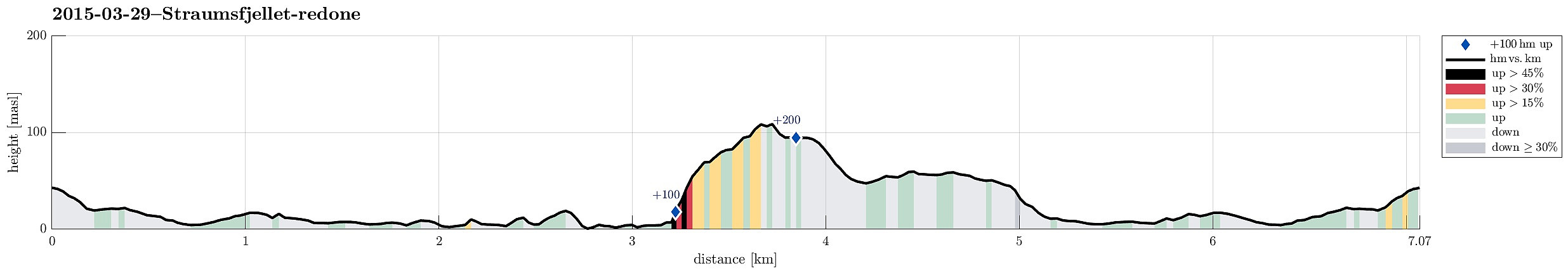
Height profile with indication of inclination (black: very steep, red: steep) as well as height meters up (blue markers).
Note that this track has been created a posteriori, i.e., from memory, not automatically recorded.
Trip Summary
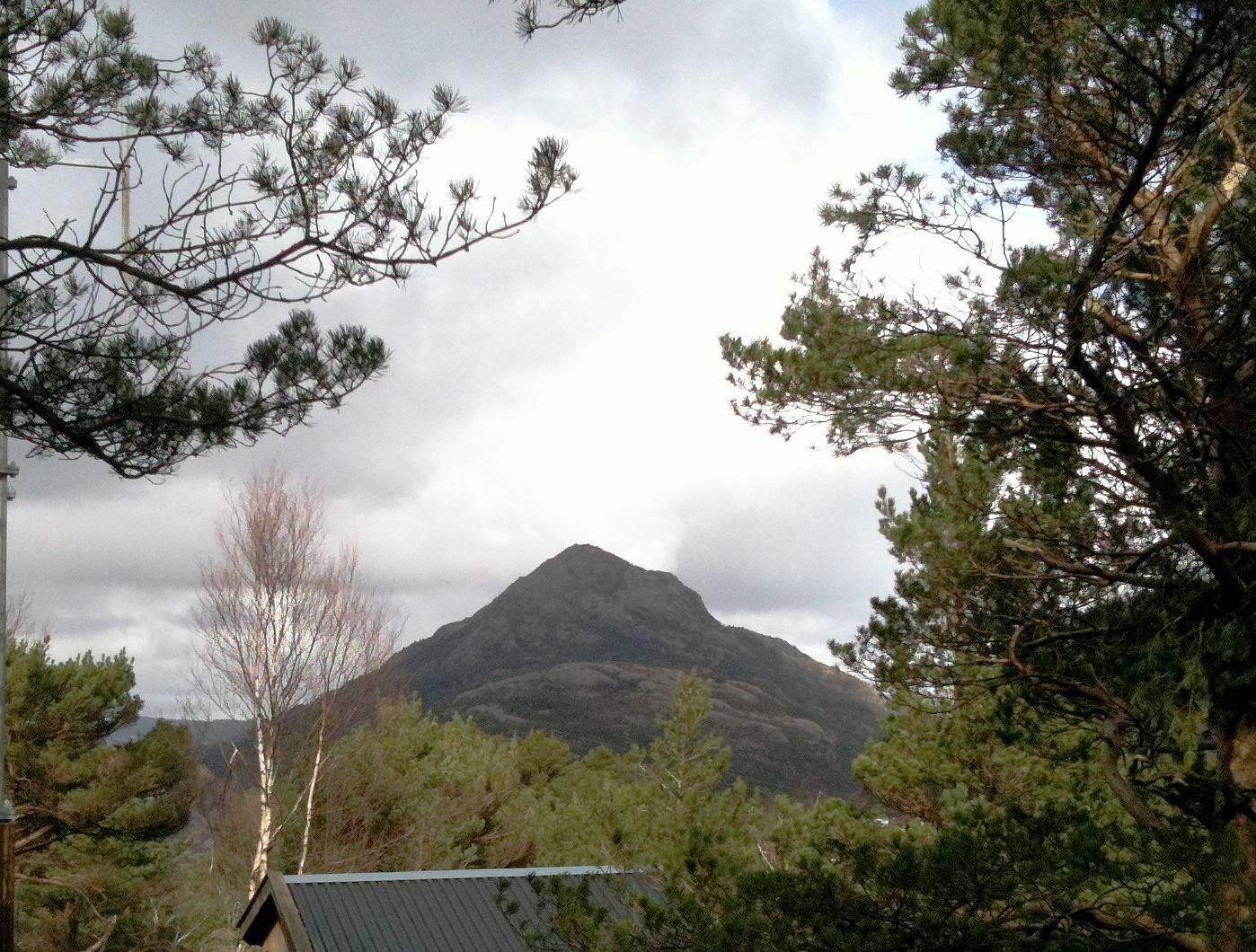
Starting from Varden, we first followed Bjørgeveien for a short distance, then turned left into Kjerreidvika. At the seaside, right opposite to Håkonsvern with all its military ships, we started to follow the shoreline -- first on a path, then directly on the short. At the bottom of Hestabakken, we too a look at a (really) small lighthouse. The area is interesting -- one gets the impression that earlier (during WWII?) some major construction work was done here. After a bit more along the shore, we followed a steep, but easy to climb, ridge up into the direction of Kampen. Eventually, however, we ascended to Straumefjellet, instead, and then returned from there via Bjørndalsskogen. At the very end of Bjørndalssskogen, near house #172, there is a small playing ground for kids -- from there, there is a steep, short path down to Bjørgeveien -- convenient to complete the round! :-)


User comments