
Ward of Bressay (24.01.2015)

Written by Bekki (Rebekka Holmgaard)
| Start point | South Ham (17m) |
|---|---|
| Endpoint | South Ham (17m) |
| Characteristic | Hike |
| Duration | 3h 15min |
| Distance | 16.8km |
| Vertical meters | 489m |
| Map |
|
| Ascents | Ander Hill (144m) | 24.01.2015 |
|---|---|---|
| Hill of Setter (90m) | 24.01.2015 | |
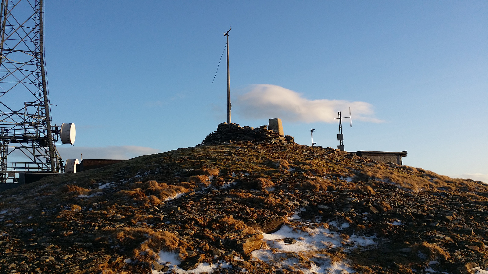
| Ward of Bressay (226m) | 24.01.2015 |
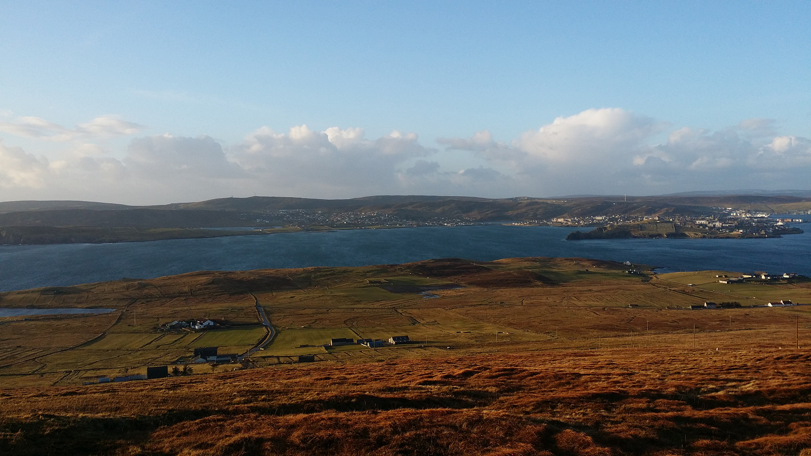
Walked up through wet grass to Ward of Bressay, with a beautiful view over the sound to Lerwick.
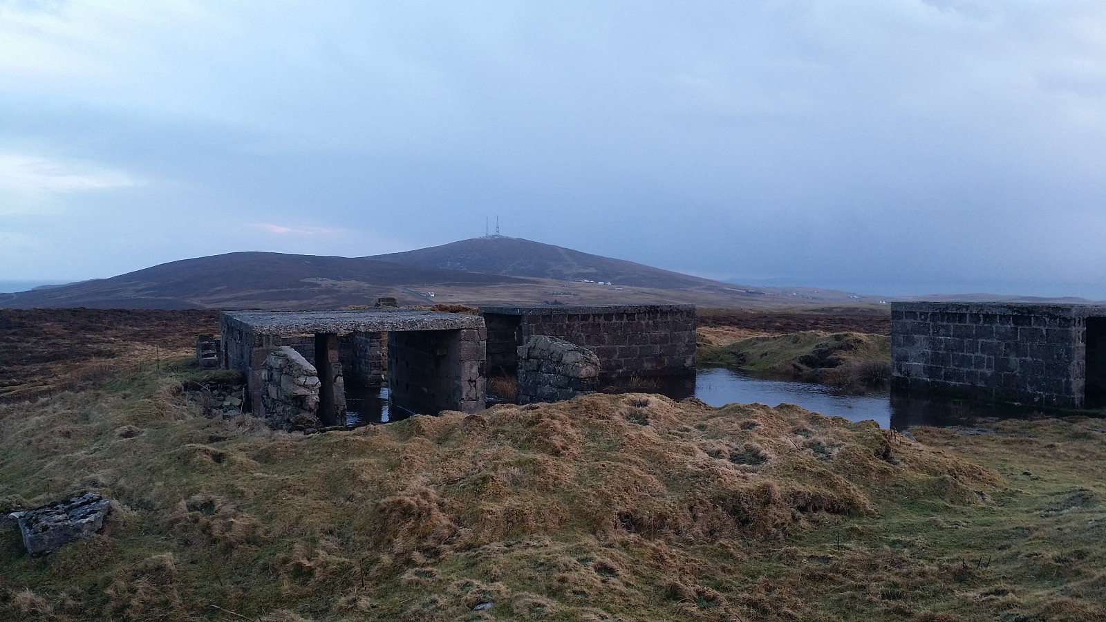
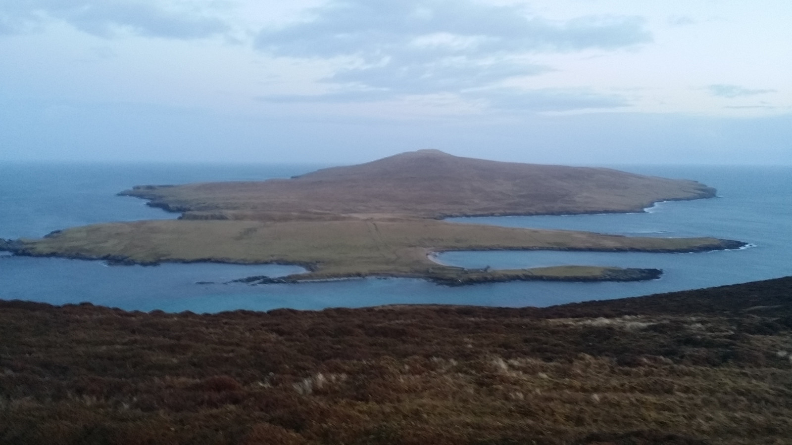
Then followed the paved road down and walked on toward Hill of Setter. Down again and followed the car road to the foot of Ander Hill. My map suggested there might be a path to the top, but I found it first as I was descendind the top. And it was a very narrow path that dissapeared in places. The top of Ander Hill gave a very nice view of the isle of Noss. Unfortunately the ferries to Noss does not operate this time of year.


User comments