
November climb to Pico del Teide (04.11.2009)

Skrevet av Stigun

| Startsted | Trailhead/parking Montana Blanca (2338moh) |
|---|---|
| Sluttsted | Trailhead/parking Montana Blanca (2338moh) |
| Turtype | Fjelltur |
| Turlengde | 8t 00min |
| Høydemeter | 1380m |
| Kart |
|
| Bestigninger | Pico del Teide (3718moh) | 04.11.2009 |
|---|---|---|
| Andre besøkte PBE'er | Refugio de Altavista (3260moh) | 04.11.2009 |
| Teleférico del Teide Estación Superior (3555moh) | 04.11.2009 | |
| Teide trailhead parking (2355moh) | 04.11.2009 |
Nice to be on vacation in the Subtropics when the rain is pouring down and days are short and chilly back in Norway! Our obvious goal was Tenerife, with a climb to majestic Pico del Teide as the ultimate high. I had climbed it several times before, but for Anna, Bente and Gunnstein it would eventually become their first ascent of this highest peak in Spain. For the beginning of November, weather was relatively chilly, and swims in the Atlantic were few and brief. After a few lazy days at the pool we drove from our hotel in Los Gigantes gaining altitude in the numerous turns of the road up the SW slopes of the island.
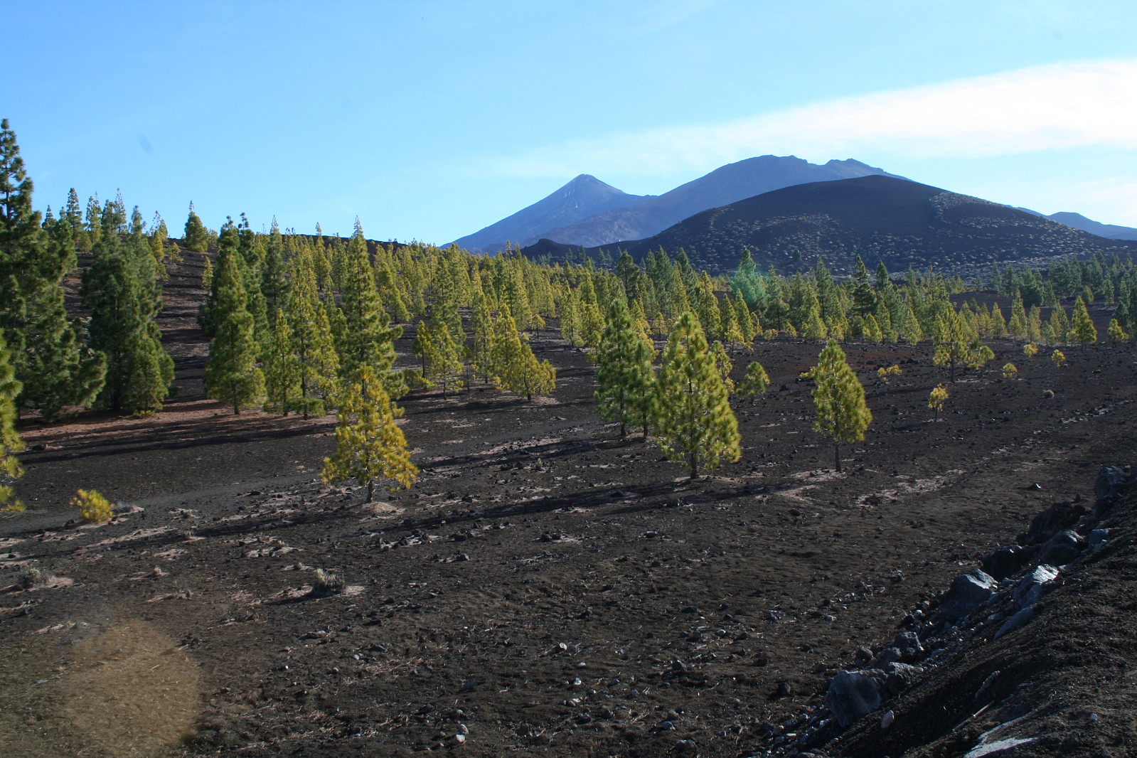
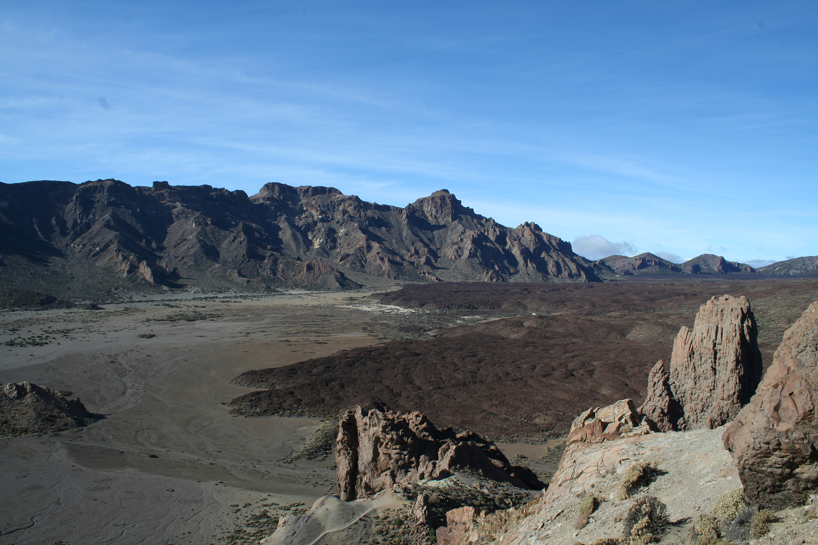
At 1900-2000m a.s.l. we arrived at "the floor" of the big old crater with its surrounding rocky edge.
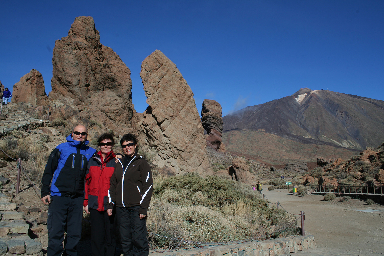
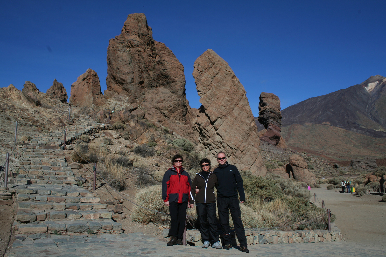
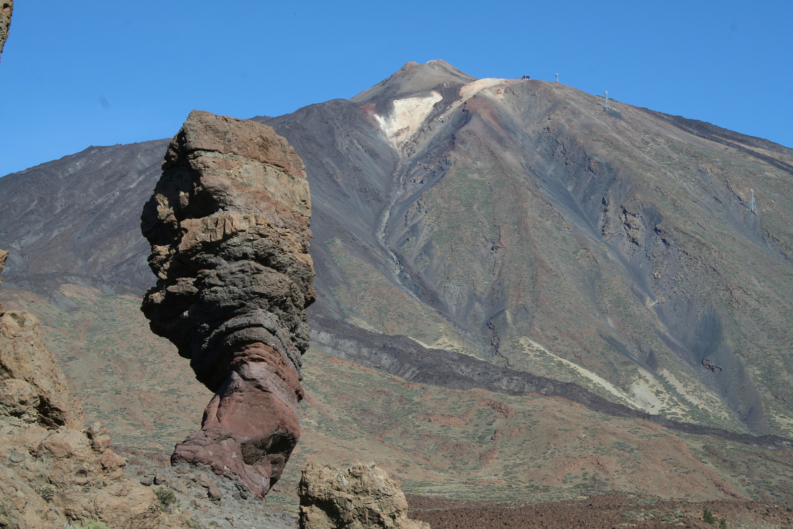
We made a photo stop at the famous Roques de Garcia before driving further, passing the lower station of the funicular(leading to the upper station at 3550m a.s.l. on the mountain) on the left. But taking the funicular almost to the summit would be cheating, and was not considered. We parked close to a dirt road leading to Montana Blanca, starting at about 2300m a.s.l. ascending on the road to the flat summit of Montana Blanca at about 2700m a.s.l.
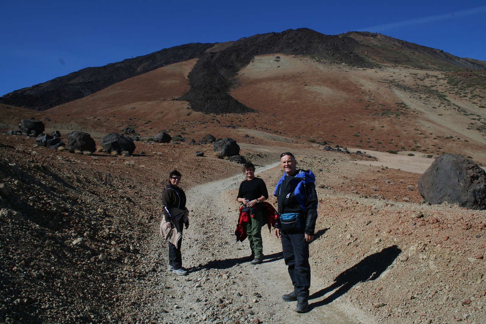
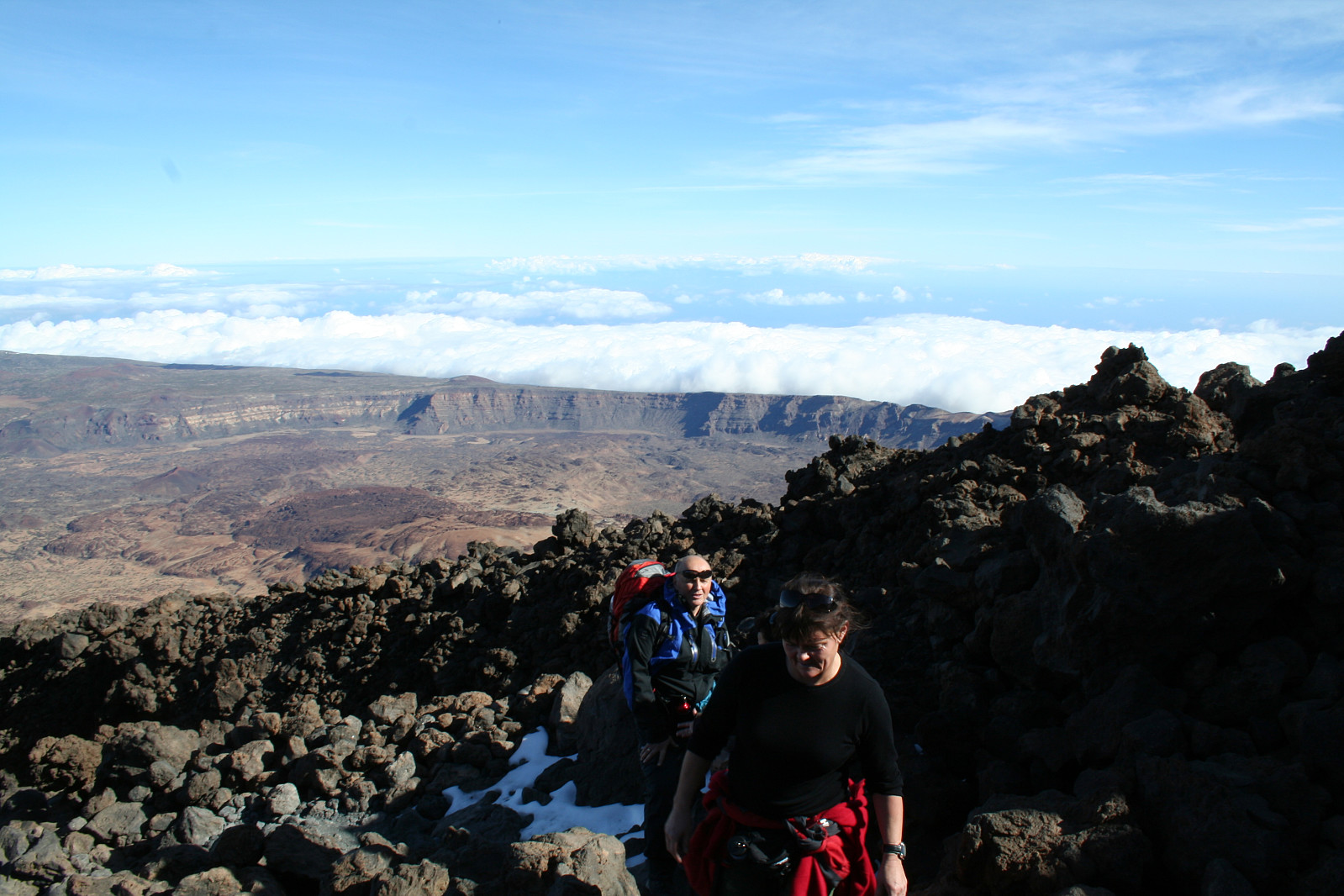
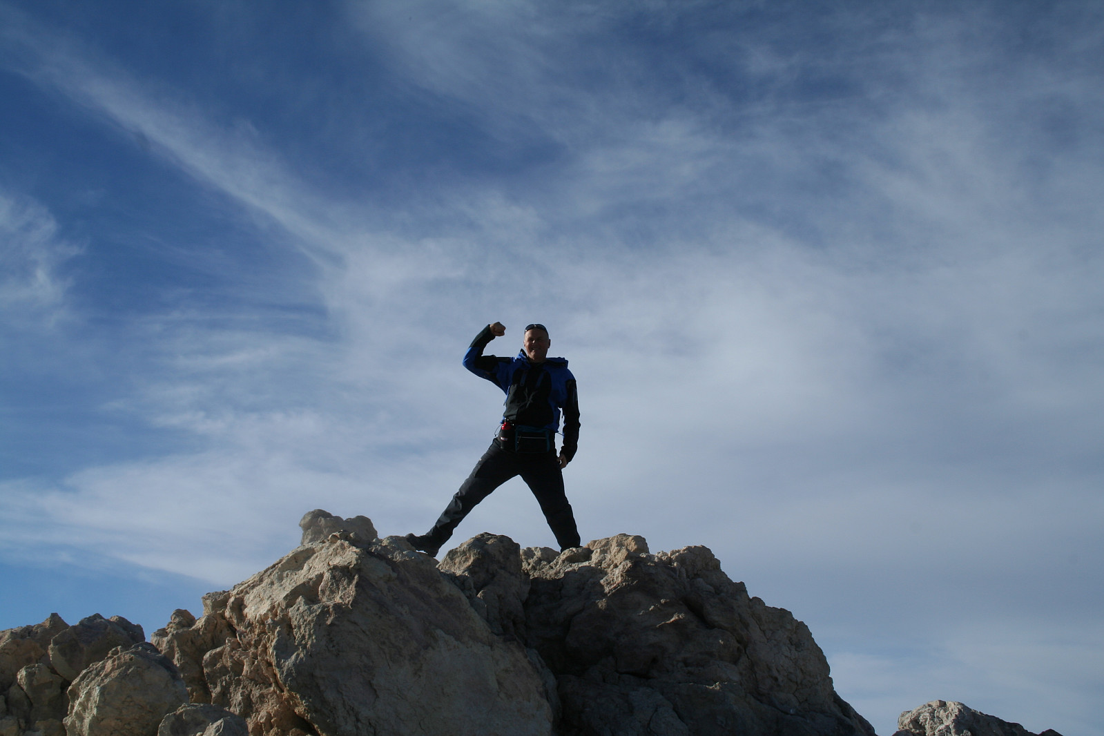
From here the slope changed abruptly, from nicely sloping sandy terrain to steeper mountain sides with numerous volcanic rocks. The trail narrowed, but luckily the steepness of the mountain was to some extent modified by the trail making numerous switchbacks. We steadily gained altitude, and could easily feel the thin air; the pace had to slow down! At about 3300m we reached the Refugio Altavista, a rocky building/mountain shelter with several beds. Some of us(the ladies..) had been hiking in probably a little too high speed relative to the alitude, and some of us gradually feltmore and more dizzy and tired. After a short lunch we moved on. Approaching the upper station of the funicular, we met my old "enemies"; police officers collecting permits for the ultimate summit climb. And this police officer seemed quite determined; no climb to 3718 m a.s.l. without permits! As for my prior climbs, neither had I driven to Santa Cruz to get permits this time either. I realized for a moment that because of my stupidity we would not reach the ultimate summit this day. But, I was not considering Bentes skills as a top (summit?) diplomat. She had no intention of taking a NO for a NO, and started negotiating( listen; we are mountain trekkers having come all the way from Norway with the sole objective to climb this magnificent mountain....You cannot seriously mean..." a.s.o), and she negotiated so well that the officer finally said;"Go!; but be sure to be down from the mountain before darkness". We are still grateful to Bente for her stubbornness, and for summiting! We started our slow walk again, now on "paved" trail, leading to the final 170 vertikal meters to summit. But, one of us had become so breathless and dizzy that further ascent was practically impossible. Two of us walked up as the third looked after the temporarily disabled one, making his own ascent a little later.
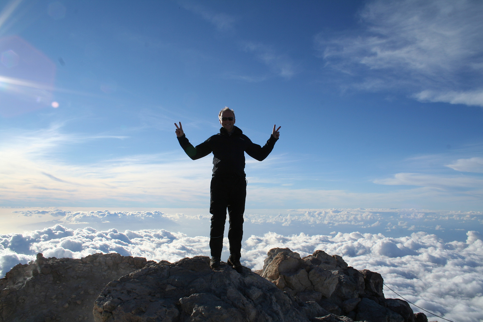
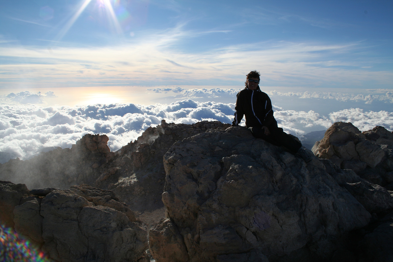
As one could expect, the view from this high and isolated peak was magnificent. But, time was running, and we would not risk any delay making us being stuck in steep mountain slopes when darkness arrived. Luckily we were down below the steeper rocky sections of the mountain when the day started to fade. And on these lower latitudes darkness appeared quickly!

Soon a brilliant sky with tens of thousands of stars appeared, and it became pitch dark this moonless night. Without head lights, we were never the less able to see the dirt road with its whitish sand/gravel, and finally we reached our parked car. Driving the long way back to our hotel we recalled the magnificent sky; a night sky we had hardly ever seen before, with no artificial lights "polluting" our celestial views. The two bright planets Venus and Jupiter were standing close to each other, and all of us were certain that we had seen it; a faint shadow of our silhouettes on the ground in the darkness, a shadow made from the star's(or for the most part; planet's) light...


Kommentarer