Arkiv - datum
Arkiv - aktivitet
-
Annan tur (3)
- Kajakpaddling (3)
-
Cykeltur (116)
- Blandad cykeltur (28)
- Gatucykling (88)
-
Motorfordon (9)
- Biltur (9)
-
Skidtur (116)
- Fjällskidtur (69)
- Längdskidåkning (47)
-
Tur till fots (1910)
- Fjällvandring (1125)
- Fotvandring (723)
- Joggingtur (2)
- Promenad (60)
Listor jag samlar på
-
Utvalgte topper og turmål i Bergen
(351/352)
 99%
99% -
Alle topper i Bergen
(395/400)
98%
-
Voss ≥ 100m pf.
(96/98)
97%
-
Opptur Hordaland
(144/159)
90%
-
Stasjoner på Bergensbanen
(33/40)
82%
-
Ulvik ≥ 100m pf.
(30/38)
78%
-
Hordaland ≥ 100m pf.
(625/863)
72%
-
Mjølfjell PF > 100m
(21/31)
67%
-
Jondal ≥ 100m pf.
(15/23)
65%
-
Dagsturhyttene i Vestland
(38/62)
61%
-
Sunnhordland PF >= 100m
(106/186)
56%
-
Hordaland: Hardanger PF>=100m
(196/359)
54%
-
DNT-hytter i Hordaland
(24/46)
52%
-
Kvinnherad ≥ 100m pf.
(41/79)
51%
-
Eidfjord ≥ 100m pf.
(13/42)
30%
-
Sogndal ≥ 100m pf.
(23/81)
28%
-
Gulen ≥ 100m pf.
(15/54)
27%
-
Vik i Sogn ≥ 100m pf.
(10/46)
21%
-
Sogn - Sør for Sognefjorden PF>=100m
(31/159)
19%
-
DNT-hytter i Sogn og Fjordane
(8/47)
17%


Eikjabu from Mollandsmarki
- Datum:
- 08.07.2023
- Turtyp:
- Fjällvandring
- Tidsåtgång:
- 5:57t
- Avstånd:
- 11,0km
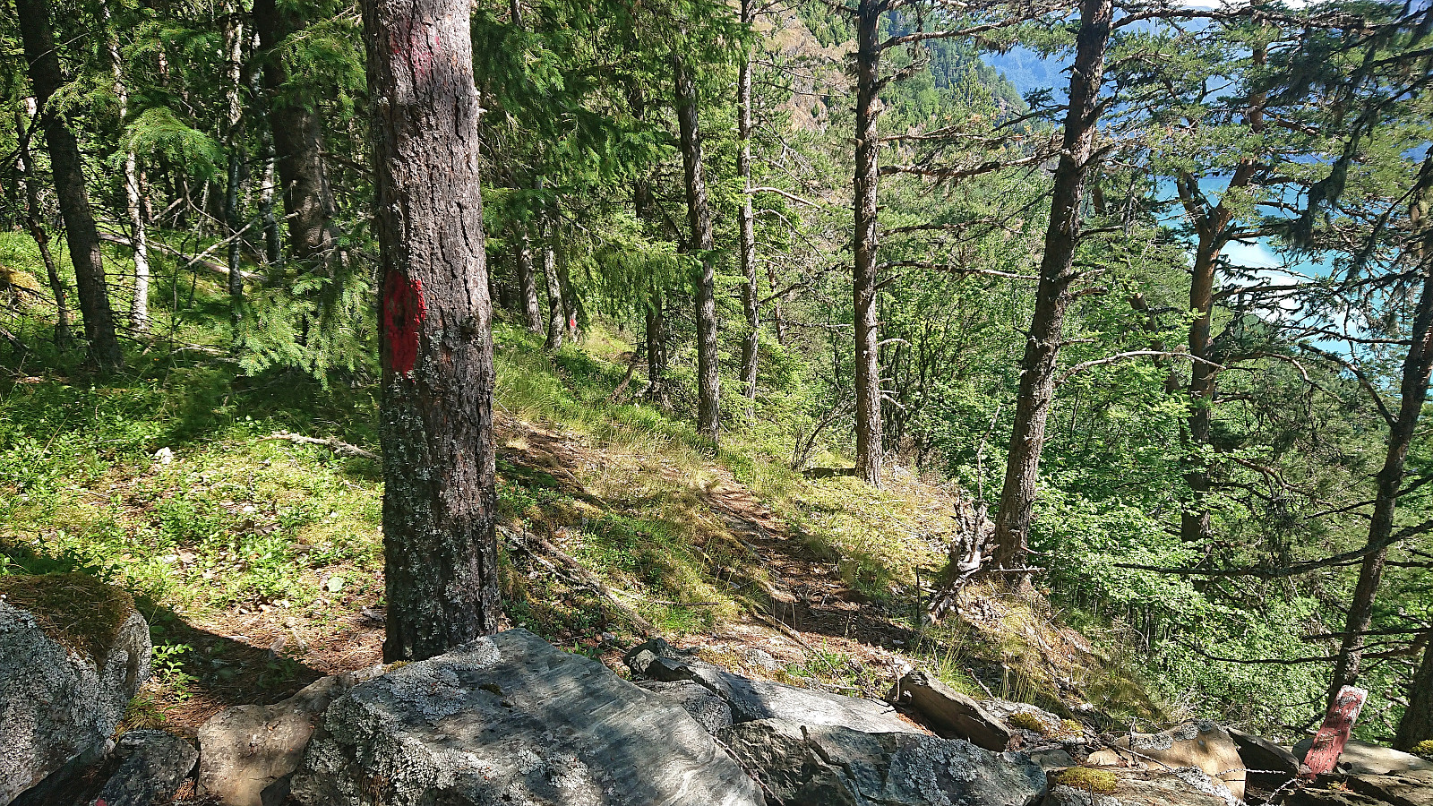 Warning: While this route (mostly) follows a marked trail, the markers can be difficult to spot. The terrain is also steep with a couple of exposed sections that may not be to everyone's liking. In other words, read the report carefully.
Given its location alongside Lustrafjorden, the easiest route to Eikjabu is definitely by boat or kayak. We had however come across a suggested hiking route from Mollandsmarki that we wanted to try. Luster DNT had even organized a trip along this route earlier this year . Additional information was also gathered from an earlier post from 2019 which also included a link with more pictures and a basic map .
Unsure of whether there would be any parking at the trailhead, we decided to park at Krossen p-plass and walk from there. (As it turned out, this was unnecessary, as it would have been possible to park at or close to the trailhead.) The trailhead contained information about Stuaflåten although there was no >>>
Warning: While this route (mostly) follows a marked trail, the markers can be difficult to spot. The terrain is also steep with a couple of exposed sections that may not be to everyone's liking. In other words, read the report carefully.
Given its location alongside Lustrafjorden, the easiest route to Eikjabu is definitely by boat or kayak. We had however come across a suggested hiking route from Mollandsmarki that we wanted to try. Luster DNT had even organized a trip along this route earlier this year . Additional information was also gathered from an earlier post from 2019 which also included a link with more pictures and a basic map .
Unsure of whether there would be any parking at the trailhead, we decided to park at Krossen p-plass and walk from there. (As it turned out, this was unnecessary, as it would have been possible to park at or close to the trailhead.) The trailhead contained information about Stuaflåten although there was no >>>

Balabu and Klukkshaug
- Datum:
- 06.07.2023
- Turtyp:
- Fjällvandring
- Tidsåtgång:
- 1:42t
- Avstånd:
- 4,8km
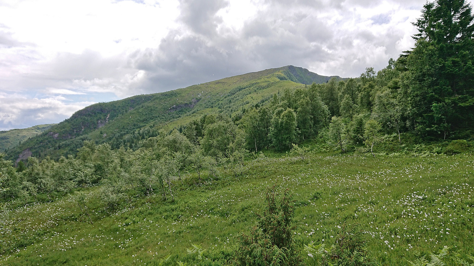 On the way from Bergen to Sogndal we made a stop at Balestrand for a visit of Balabu . Parking was found at the marked trailhead and from there we could follow a very nice marked trail all the way to the cabin. From Balabu I continued on my own along an unmarked trail to Klukkshaug but must admit that the views there did not really live up to the expectations and I did not stay long before starting my descent.
Løvstakken from Marineholmen
- Datum:
- 04.07.2023
- Turtyp:
- Fjällvandring
- Tidsåtgång:
- 3:55t
- Avstånd:
- 9,6km
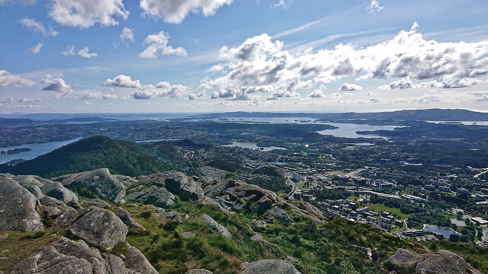 Hike to Løvstakken after work with my colleague taking part in Stolpejakten .
Høgenoltane from Urdland via Remlo
- Datum:
- 01.07.2023
- Turtyp:
- Fjällvandring
- Tidsåtgång:
- 4:50t
- Avstånd:
- 17,0km
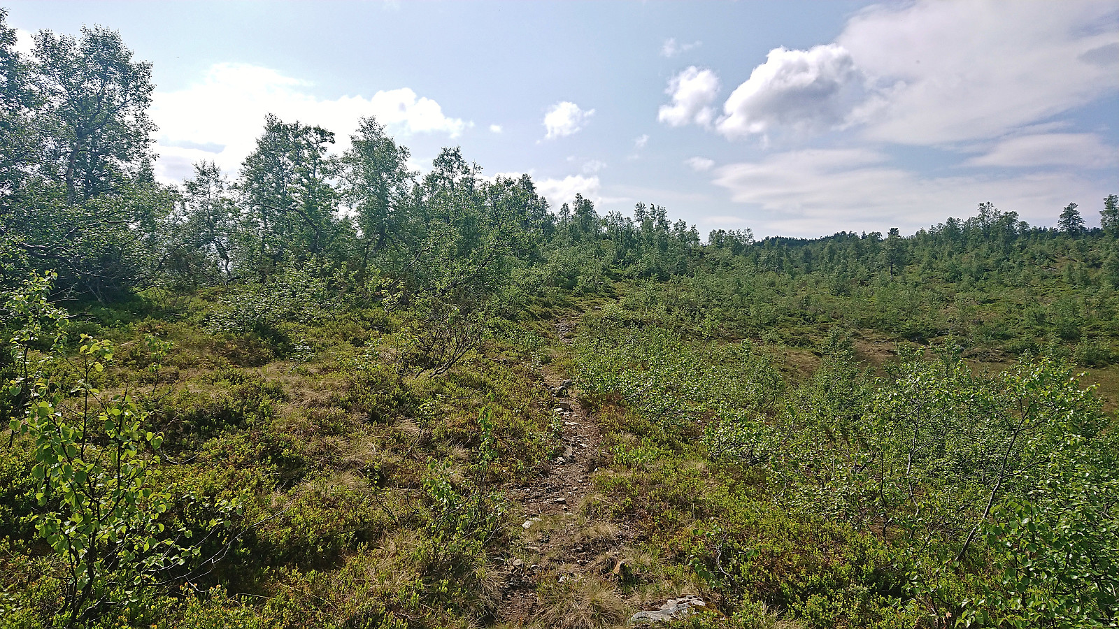 I started by taking the train to Urdland stasjon and from there followed the road west and then north up to Ospehaugen p-plass . In order to make the hike into a roundtrip I here forked right and continued north along the gravel road to Remlo where the map indicated a trail south to Fjosstølen. I struggled a bit to find the proper start of this trail, as there were a couple of fences that had to be crossed, but just as I was scouting for the best place to jump the fence I happened upon the local farmer who provided excellent pointers for where to locate the trail in question. Soon I was therefore on the so-called "buføringsvegen", i.e. the trail (at least historically) used to transfer cattle and sheep from/to the farms further down the valley.
The trail was unmarked but overall easy to follow. It however did not >>>
I started by taking the train to Urdland stasjon and from there followed the road west and then north up to Ospehaugen p-plass . In order to make the hike into a roundtrip I here forked right and continued north along the gravel road to Remlo where the map indicated a trail south to Fjosstølen. I struggled a bit to find the proper start of this trail, as there were a couple of fences that had to be crossed, but just as I was scouting for the best place to jump the fence I happened upon the local farmer who provided excellent pointers for where to locate the trail in question. Soon I was therefore on the so-called "buføringsvegen", i.e. the trail (at least historically) used to transfer cattle and sheep from/to the farms further down the valley.
The trail was unmarked but overall easy to follow. It however did not >>>
Storfjellet, Nordøst for Storfjellet and Smørstakken
- Datum:
- 25.06.2023
- Turtyp:
- Fjällvandring
- Tidsåtgång:
- 9:01t
- Avstånd:
- 22,2km
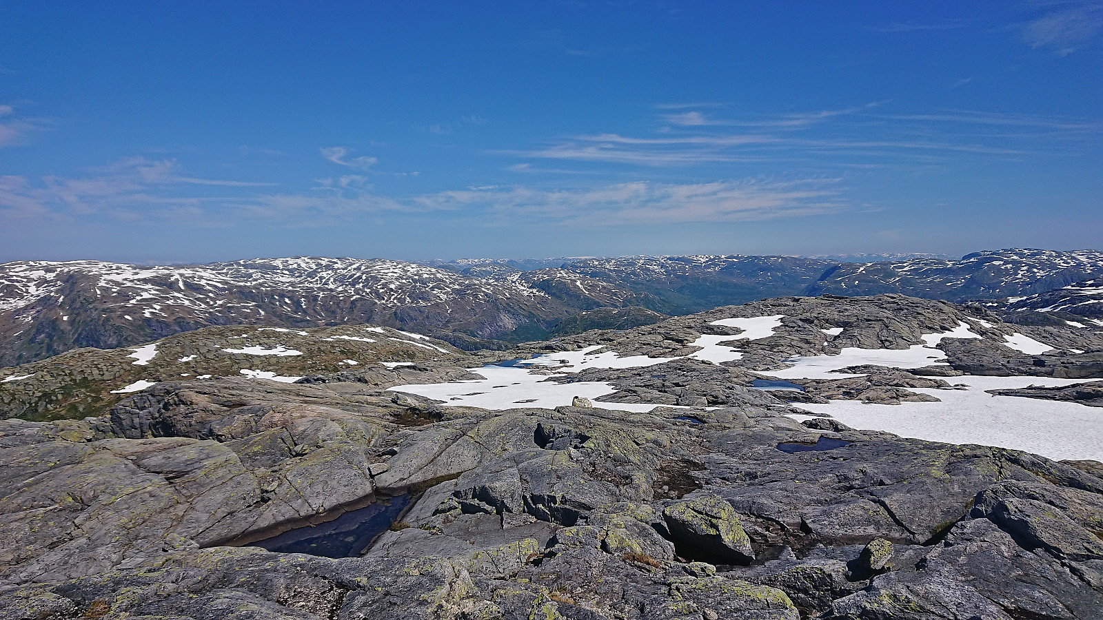 After an approximately 1.5 hour drive from Bergen, we parked at Steinavatnet p-plass where Fjellsamleren (Endre Myrdal Olsen) started west to Nåmdalsfjellet (a peak I had already visited on skis earlier this year ) while I began the ascent east to Storfjellet .
I first headed north to cross the bridge over Oselvi, before shortly descending southeast to the marked trailhead for Storfjellet and the viewpoint Oksla. The trail was marked with blue paint but not always the easiest to follow, especially as it did not always follow the trail indicated on the map. Shortly after leaving Oksla I lost the trail and after that I only managed to locate the occasional small cairn, even when being right on top of where the trail ought to be according to the map.
As I was approaching the only really steep part of the ascent I was therefore on my own and decided to stick to where the trail was indicated on the map. This >>>
After an approximately 1.5 hour drive from Bergen, we parked at Steinavatnet p-plass where Fjellsamleren (Endre Myrdal Olsen) started west to Nåmdalsfjellet (a peak I had already visited on skis earlier this year ) while I began the ascent east to Storfjellet .
I first headed north to cross the bridge over Oselvi, before shortly descending southeast to the marked trailhead for Storfjellet and the viewpoint Oksla. The trail was marked with blue paint but not always the easiest to follow, especially as it did not always follow the trail indicated on the map. Shortly after leaving Oksla I lost the trail and after that I only managed to locate the occasional small cairn, even when being right on top of where the trail ought to be according to the map.
As I was approaching the only really steep part of the ascent I was therefore on my own and decided to stick to where the trail was indicated on the map. This >>>
Manfjellet and Kjetilsnuten
- Datum:
- 24.06.2023
- Turtyp:
- Fjällvandring
- Tidsåtgång:
- 8:49t
- Avstånd:
- 19,7km
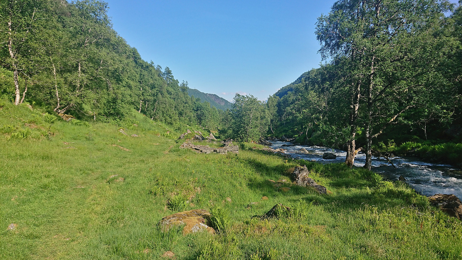 A return to Fitjadalen to visit the two summits me and Fjellsamleren (Endre Myrdal Olsen) had to skip during our last visit due to there simply being too much snow. Once more we parked at Fitjadalen p-plass , but instead of starting north on the trail to Skrott and Breidablikk we returned around 400 meters southeast along the road and from there followed the marked trail to Laupsaflyane . The trail was a bit weak at times, and the trail markers not the most consistent, but overall this initial ascent was straightforward.
At Laupsaflyane the trail disappeared so we headed off-trail towards the southeast in order to connect with the trail to Manfjellet from this trip suggestion at ut.no . At first we struggled to locate the mentioned trail, especially as it was not indicated on the map, however we soon spotted the first red/pink trail markers that would lead us all the way to the summit. We did lose the markers once or twice, but never had >>>
A return to Fitjadalen to visit the two summits me and Fjellsamleren (Endre Myrdal Olsen) had to skip during our last visit due to there simply being too much snow. Once more we parked at Fitjadalen p-plass , but instead of starting north on the trail to Skrott and Breidablikk we returned around 400 meters southeast along the road and from there followed the marked trail to Laupsaflyane . The trail was a bit weak at times, and the trail markers not the most consistent, but overall this initial ascent was straightforward.
At Laupsaflyane the trail disappeared so we headed off-trail towards the southeast in order to connect with the trail to Manfjellet from this trip suggestion at ut.no . At first we struggled to locate the mentioned trail, especially as it was not indicated on the map, however we soon spotted the first red/pink trail markers that would lead us all the way to the summit. We did lose the markers once or twice, but never had >>>
Ørneberget and Furukammen
- Datum:
- 23.06.2023
- Turtyp:
- Fjällvandring
- Tidsåtgång:
- 0:54t
- Avstånd:
- 4,1km
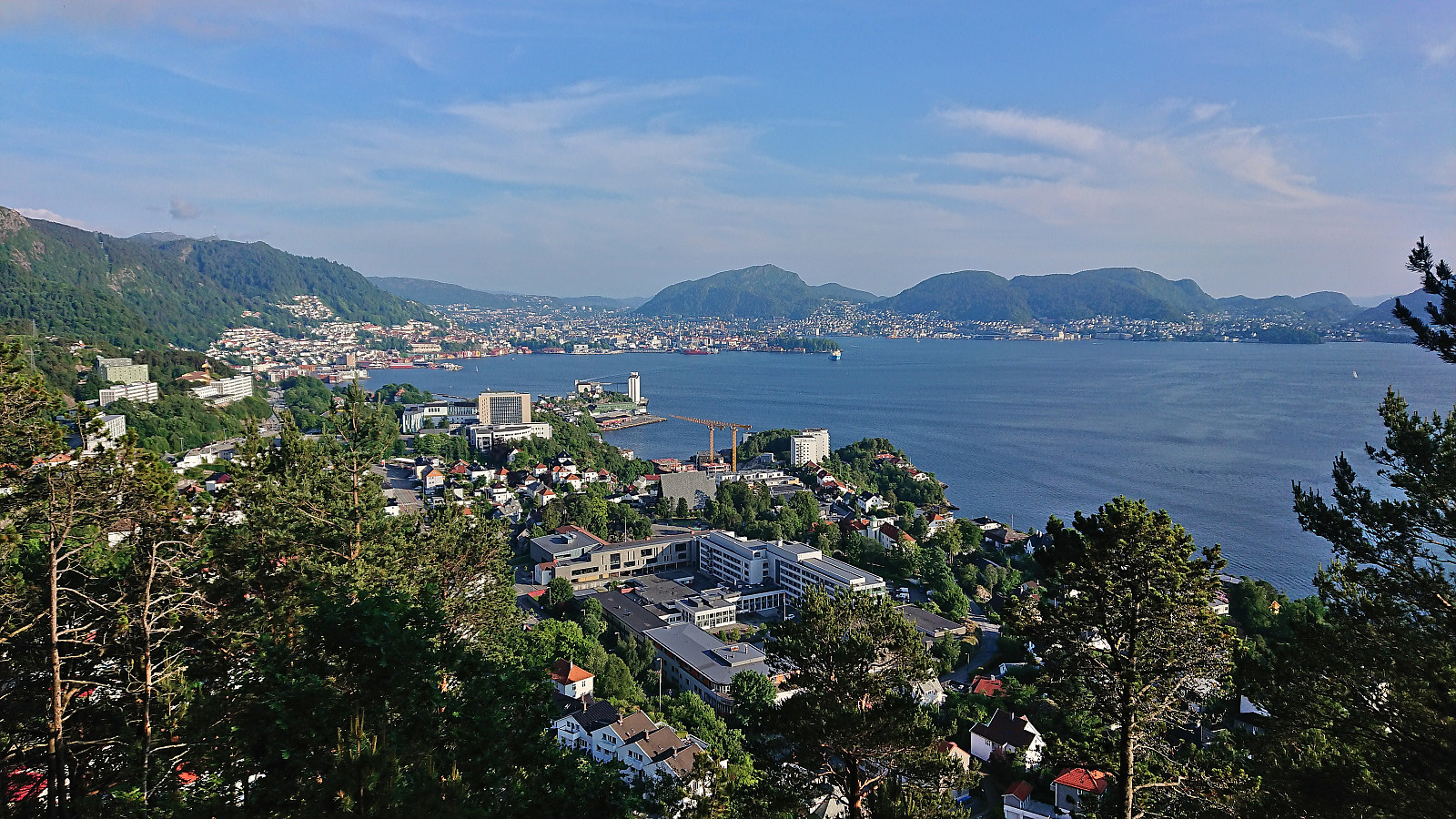 Short local evening hike.
Fjell kyrkje to Kolltveit via Bekkebruna
- Datum:
- 18.06.2023
- Turtyp:
- Fjällvandring
- Tidsåtgång:
- 2:02t
- Avstånd:
- 5,1km
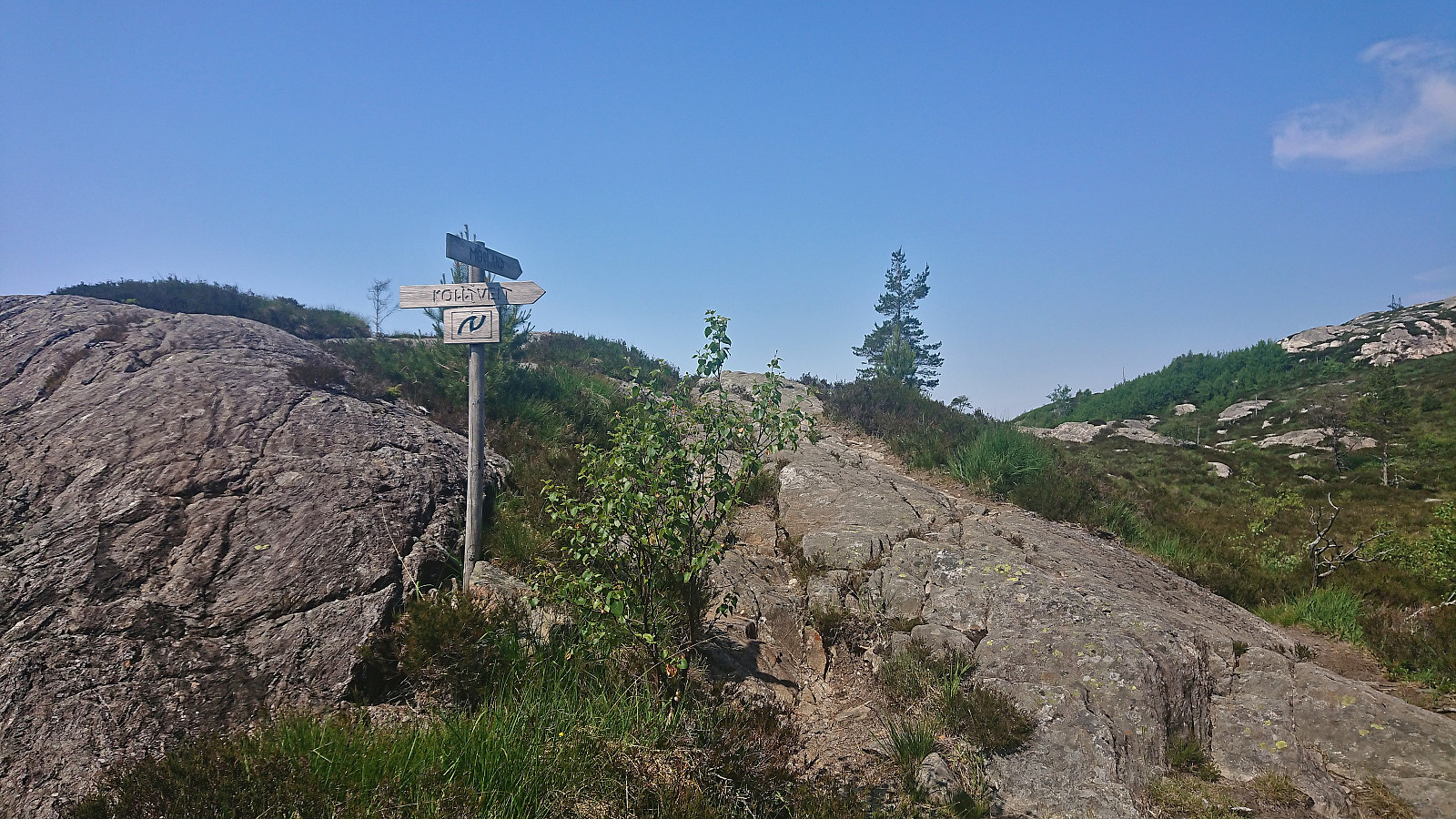 With a weather forecast of possible afternoon rain showers (including lightning), I changed my more ambitious plans and instead hopped on a bus to Fjell. Here I got off at Fjell kyrkje and followed the so-called church road north. The start of this road, or more correctly trail, was marked from the church, however the actual trailhead can be easily missed.
The trail markers for some reason also tried to send me southwest early on, but I ignored them and continued north, passing by several small lakes. I also ignored the first sign for Kolltveit as I had plans to first include a visit of Øst for Kyrkjenibben (previously just called Kyrkjenibben, but this is clearly a point further west and not the summit itself).
At the second sign for Kolltveit, I left the main trail and followed a much weaker trail northeast. The >>>
With a weather forecast of possible afternoon rain showers (including lightning), I changed my more ambitious plans and instead hopped on a bus to Fjell. Here I got off at Fjell kyrkje and followed the so-called church road north. The start of this road, or more correctly trail, was marked from the church, however the actual trailhead can be easily missed.
The trail markers for some reason also tried to send me southwest early on, but I ignored them and continued north, passing by several small lakes. I also ignored the first sign for Kolltveit as I had plans to first include a visit of Øst for Kyrkjenibben (previously just called Kyrkjenibben, but this is clearly a point further west and not the summit itself).
At the second sign for Kolltveit, I left the main trail and followed a much weaker trail northeast. The >>>
Loddo and Adlesi
- Datum:
- 17.06.2023
- Turtyp:
- Fjällvandring
- Tidsåtgång:
- 0:46t
- Avstånd:
- 2,4km
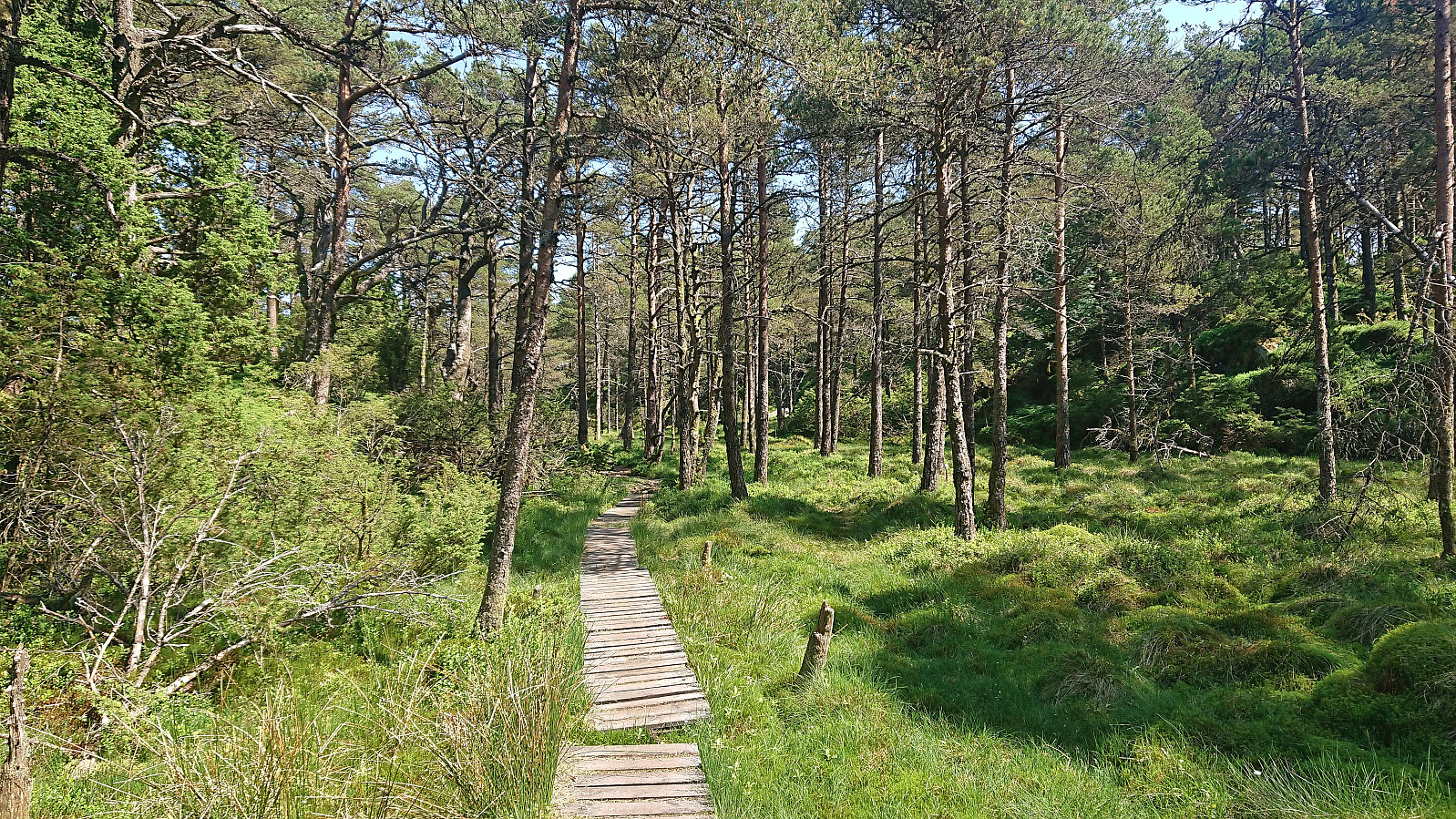 After leaving my bike when the trail forked for the final time south of the summit , I continued the rest of the way on foot, making sure to include a minor detour for a short visit of Adlesi . At the summit I climbed the wooden lookout tower to obtain better views before returning via the orange trail back to my bike and continuing my exploration of Austevoll .
Gullfjellet via Ronamanen
- Datum:
- 13.06.2023
- Turtyp:
- Fjällvandring
- Tidsåtgång:
- 5:50t
- Avstånd:
- 13,8km
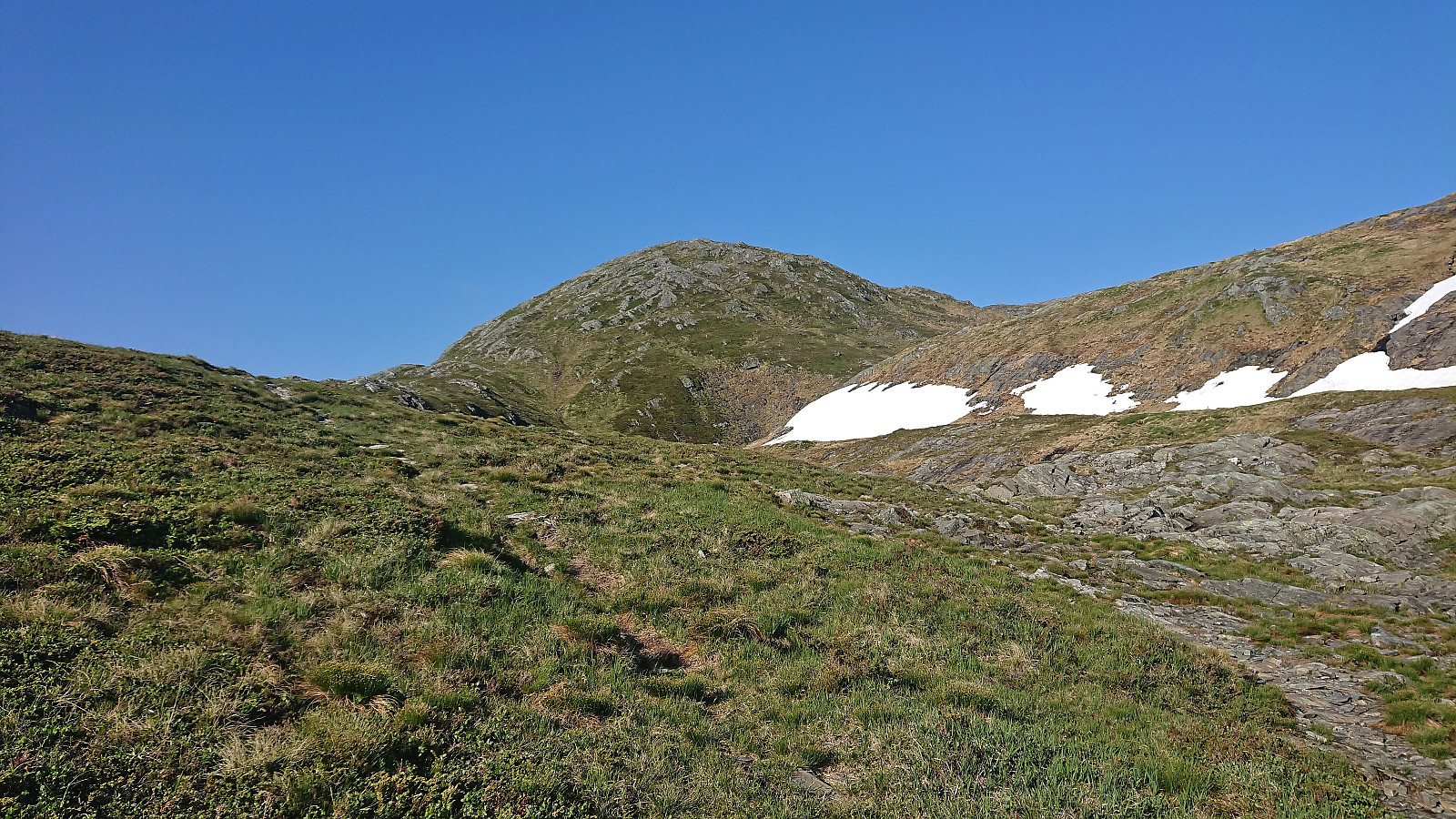 Hike to Gullfjellet with two colleagues after work. We ascended via Ronamanen and descended via Tjørndalen. An excellent roundtrip that can be very highly recommended!


