Cycling: Kvernafossen (14.07.2021)

| Utgångspunkt | Lønborg (56m.ö.h.) |
|---|---|
| Slutpunkt | Lønborg (56m.ö.h.) |
| Turtyp | Blandad cykeltur |
| Tidsåtgång | 4t 19min |
| Avstånd | 54,9km |
| Höjdmeter | 995m |
| GPS |
|
| Besök av andra PBE:er | Arna stasjon (8m.ö.h.) | 14.07.2021 |
|---|---|---|
| Kvamsvegen p-plass (190m.ö.h.) | 14.07.2021 | |
| Kvernafossen (100m.ö.h.) | 14.07.2021 |
Cycling: Kvernafossen
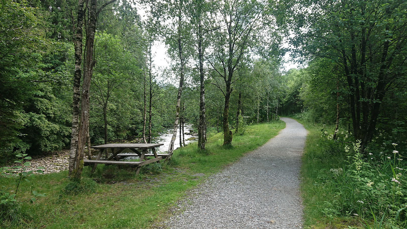
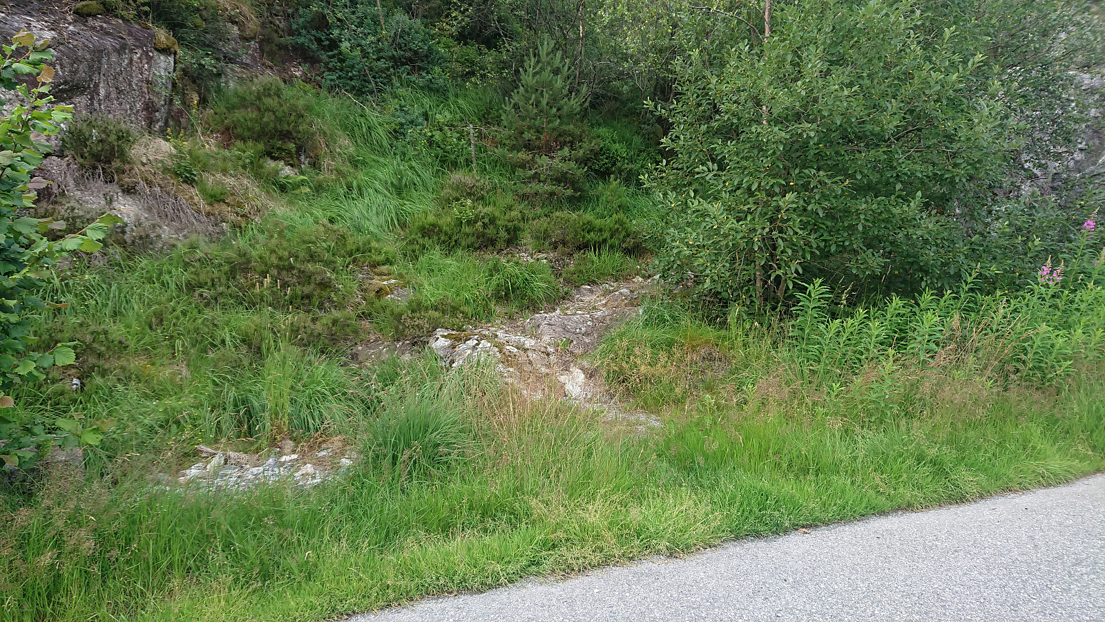
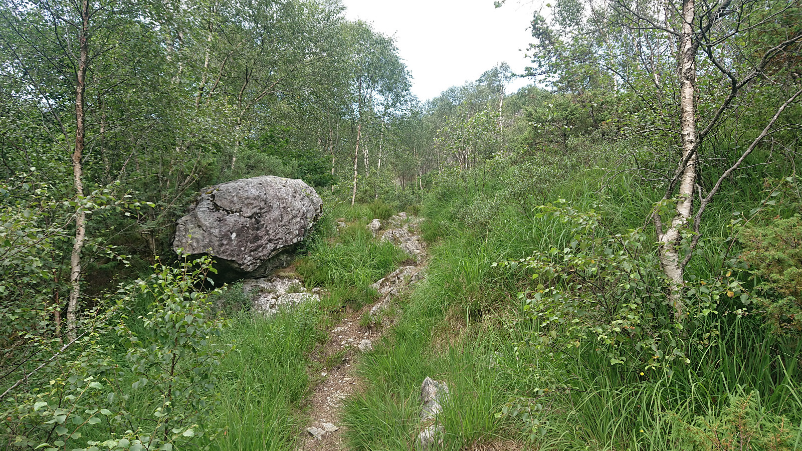
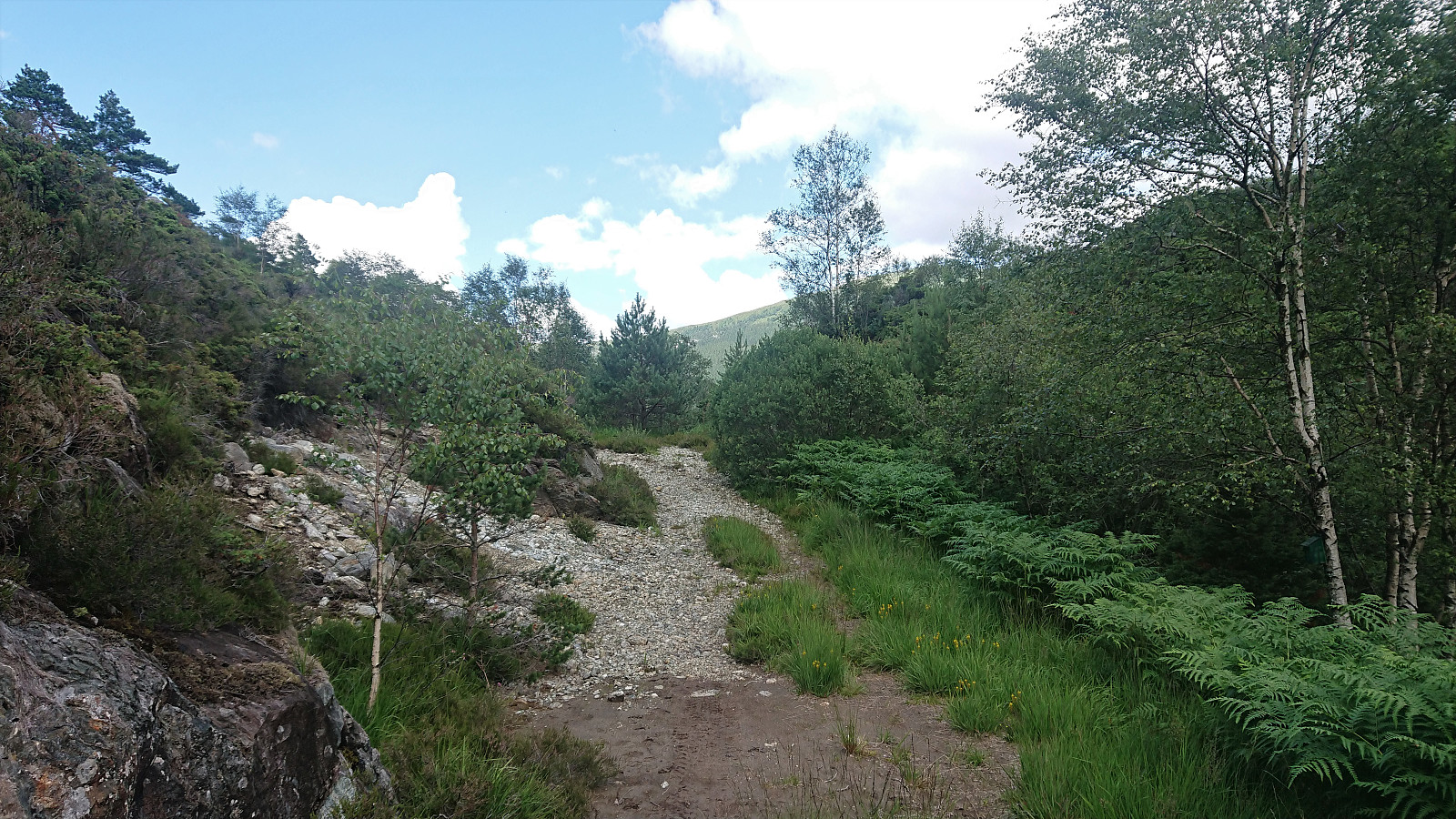
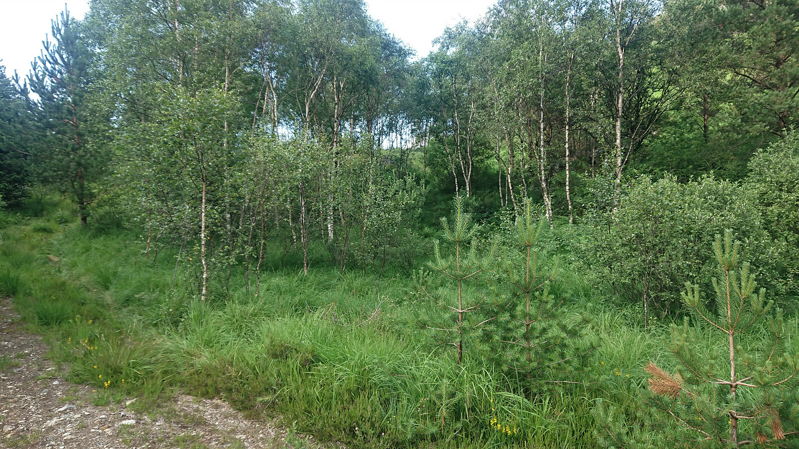
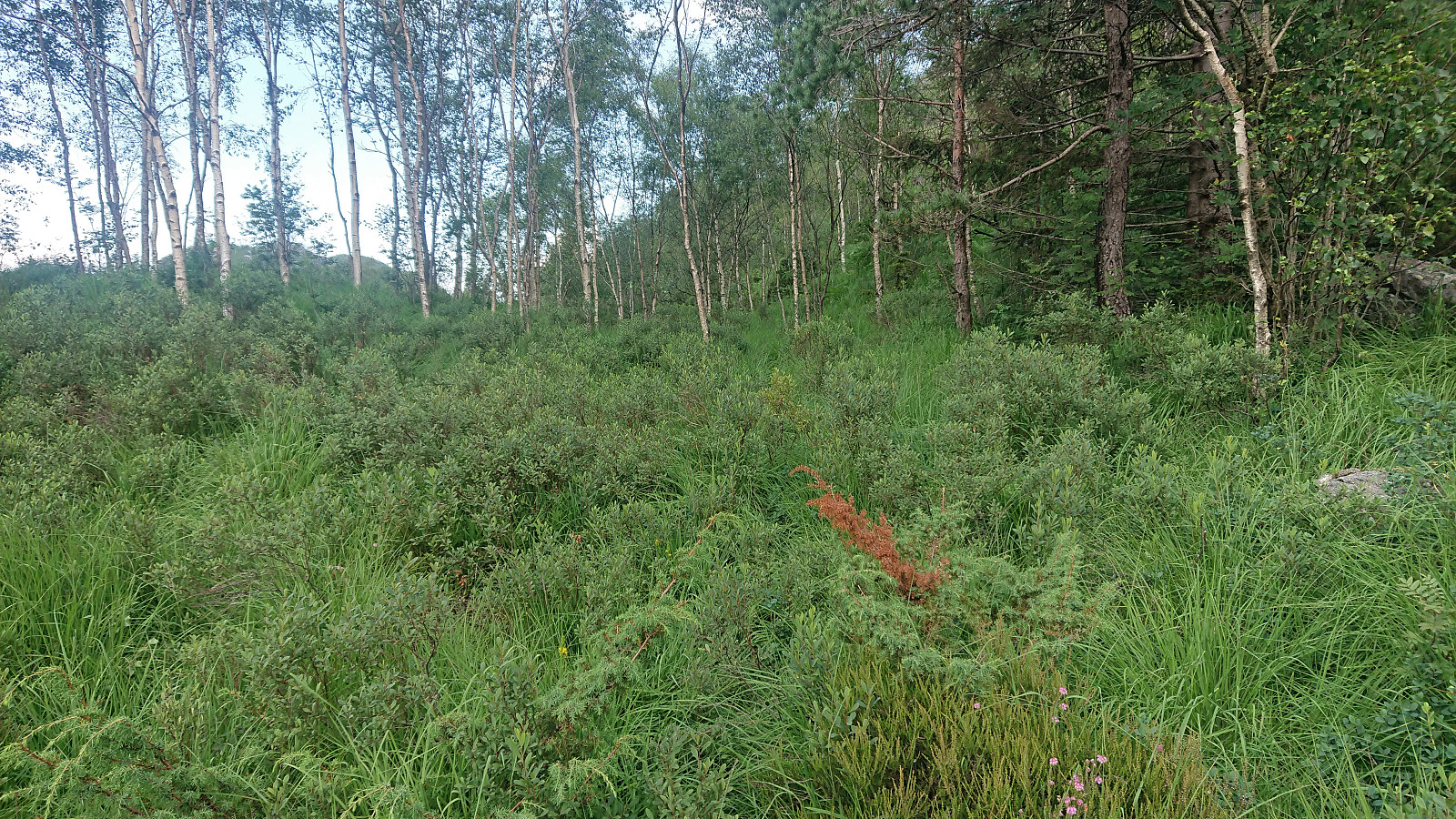
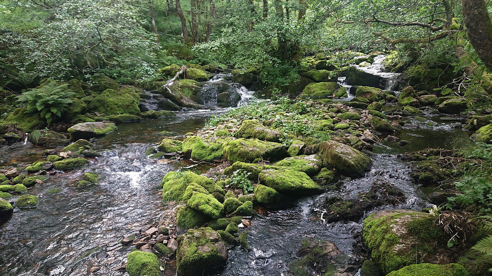
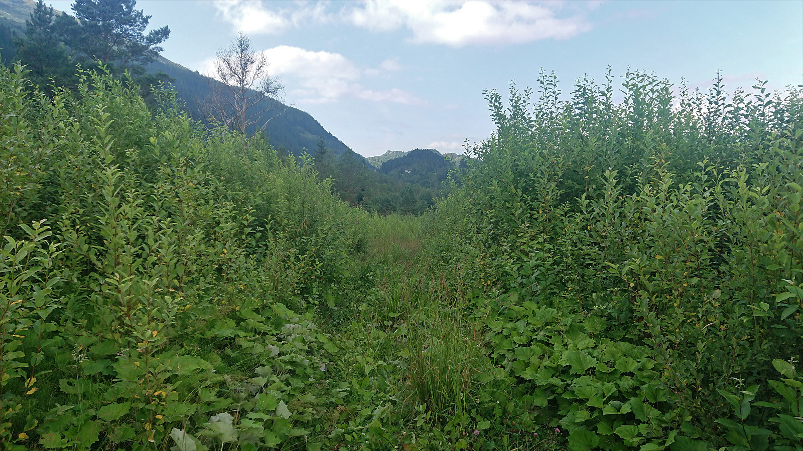
Cycling trip with the objective of exploring a possible trail to Nedstaheia, a small hill southeast of Haukheia in Arna. The unmarked trailhead south of the summit was easily located, and after leaving my bike behind, I continued on foot along the river/waterfall called Kvernafossen. The trail was partially hidden by the low vegetation, but easy to follow. Shortly I reached the tractor road south of Krokavatnet. Here I turned right and started searching for the trail to Nedstaheia. I think I found it in the end, but it was pretty much completely hidden by the tall grasses. After a short attempt at following the hidden trail, I therefore gave up and decided to rather return on a future hike, ideally not wearing shorts as today, especially given that I was also planning on including a visit to Haukheia. Back on the bike, I had a go at a shortcut west to Langedalen via Kvernaskaret, but when I got to a point where the road had pretty much been reclaimed by nature, I instead returned and followed the road via Espeland to Gaupås. In summary, it is clearly possible to ascend Nedstaheia via the route I started on, and who knows, maybe the trail is more visible at other times of the year?
| Startdatum | 14.07.2021 15:12 (UTC+01:00 ST) |
| Slutdatum | 14.07.2021 19:31 (UTC+01:00 ST) |
| Tid totalt | 4t 19min |
| Tid i rörelse | 4t 03min |
| Tid för paus | 0t 16min |
| Snitthastighet totalt | 12,7km/t |
| Snitthastighet i rörelse | 13,5km/t |
| Avstånd | 54,9km |
| Höjdmeter | 994m |

Kommentarer