Cycling: Gullfjellet roundtrip (22.05.2021)

| Utgångspunkt | Lønborg (56m.ö.h.) |
|---|---|
| Slutpunkt | Lønborg (56m.ö.h.) |
| Turtyp | Gatucykling |
| Tidsåtgång | 7t 02min |
| Avstånd | 106,4km |
| Höjdmeter | 2.120m |
| GPS |
|
| Besök av andra PBE:er | Arna stasjon (8m.ö.h.) | 22.05.2021 |
|---|---|---|
| Brekkekleiva P-lomme (35m.ö.h.) | 22.05.2021 | |
| Bryggen i Bergen (1m.ö.h.) | 22.05.2021 | |
| Gjemdal p-lomme (88m.ö.h.) | 22.05.2021 | |
| Gullbotn p-plass (244m.ö.h.) | 22.05.2021 | |
| Nygårdsbroene (5m.ö.h.) | 22.05.2021 | |
| Utapåegga p-lomme (61m.ö.h.) | 22.05.2021 |
Cycling: Gullfjellet roundtrip
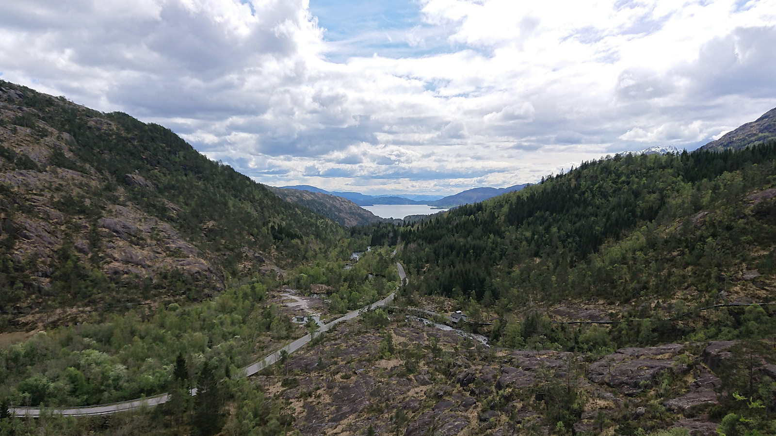
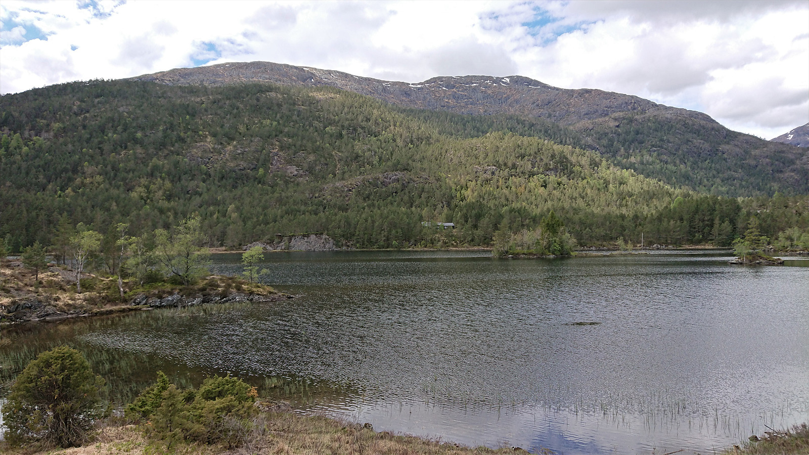
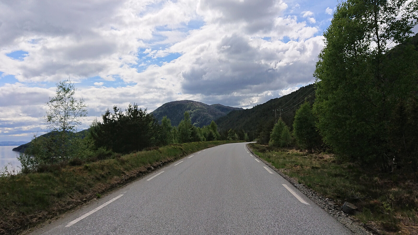
Long cycling trip around Gullfjellet via Åsane, Trengereid and (almost to) Osøyro. Close to all of the trip was on either separate cycling paths or along roads with very limited traffic. The main exception being the section from Trengereid (from after the short tunnel above the roundabout) to Hisdal. Here the only option is to share the road with the high-speed traffic. It is therefore recommended to avoid cycling here at times when there may be a lot of traffic.
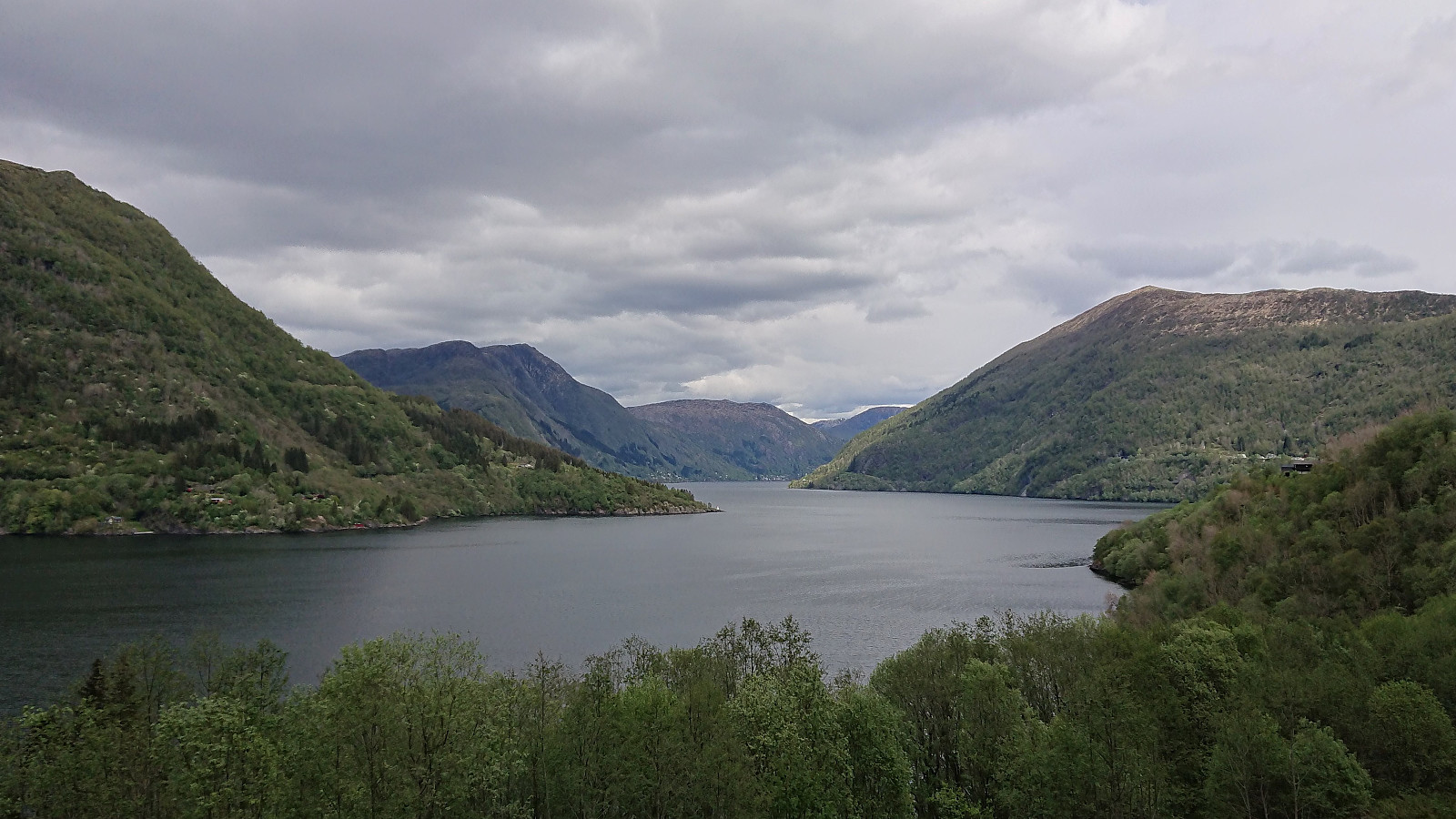
Note that it is straightforward to avoid the second slightly longer tunnel just before reaching Hisdal. The trick is to use the nice gravel road on the south side of the tunnel. As a bonus you get a very nice view towards Samnangerfjorden. I passed through the first tunnel, as it was much shorter and there was not a lot of traffic, however it should be possible to avoid this one as well, although this option seemed to be much less frequently used.
The only other section where I partly felt that I was competing with the cars, was the ascent from Notaneset/Løyningdalen. But given the winding and narrow nature of the road, the speed of the cars was generally here much lower (compared to the climb up from Trengereid) and there was a lot less traffic overall. In summary, a long but very nice trip that can be recommended.
| Startdatum | 22.05.2021 12:09 (UTC+01:00 ST) |
| Slutdatum | 22.05.2021 19:12 (UTC+01:00 ST) |
| Tid totalt | 7t 02min |
| Tid i rörelse | 6t 24min |
| Tid för paus | 0t 39min |
| Snitthastighet totalt | 15,1km/t |
| Snitthastighet i rörelse | 16,6km/t |
| Avstånd | 106,4km |
| Höjdmeter | 2.120m |

Kommentarer