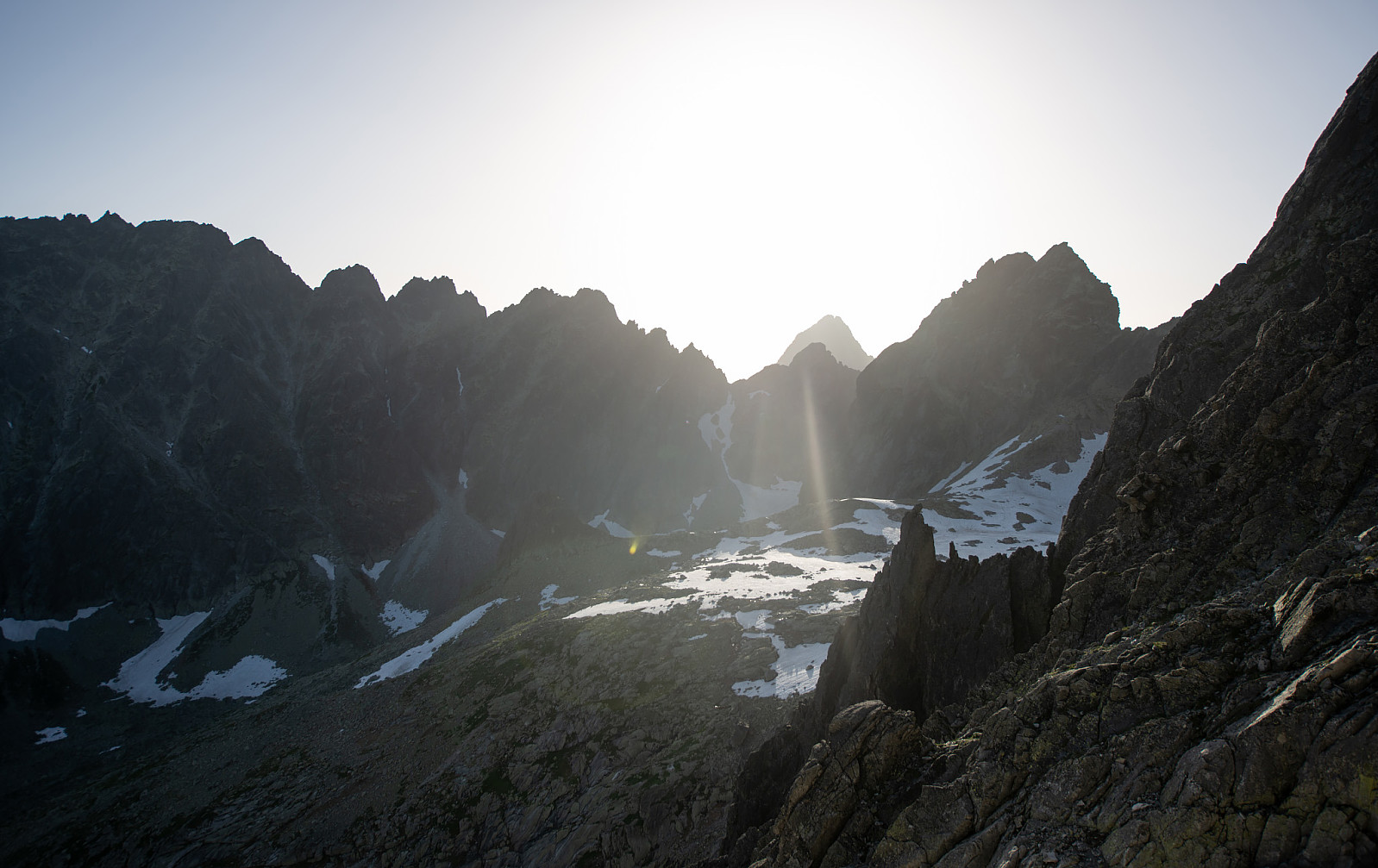
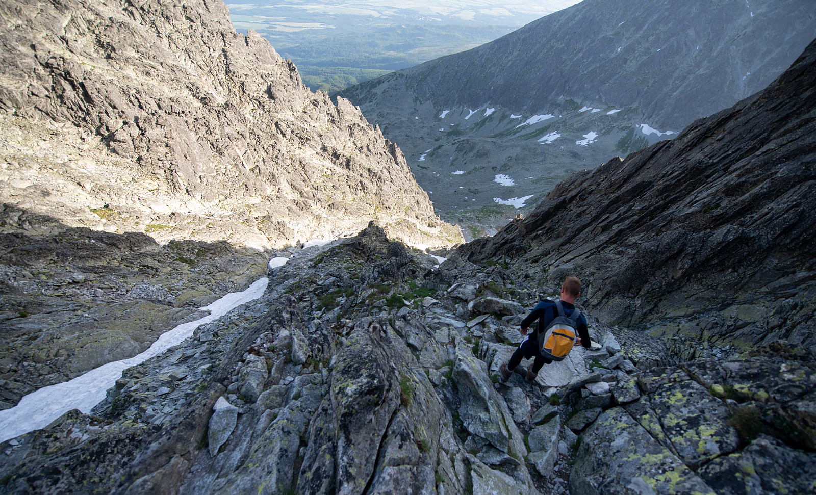
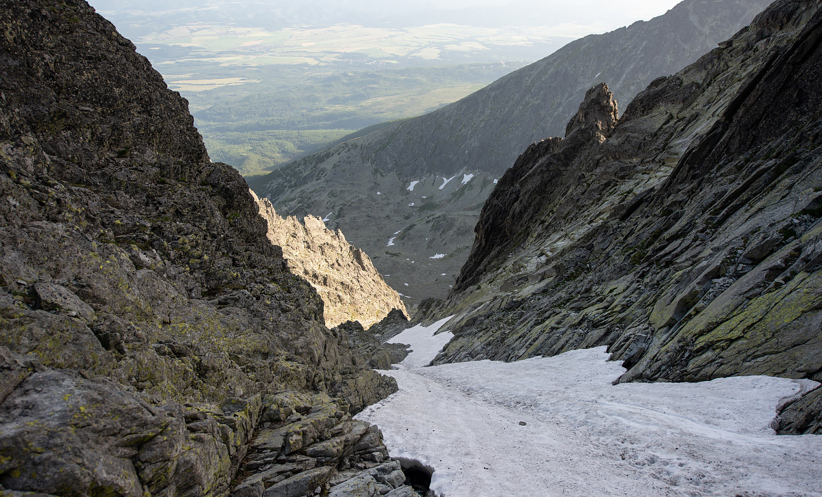
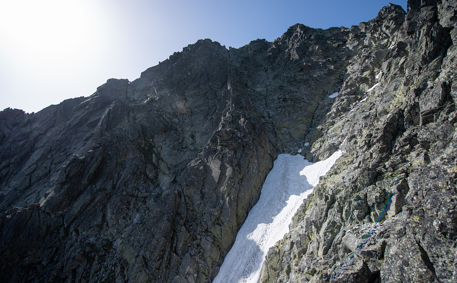
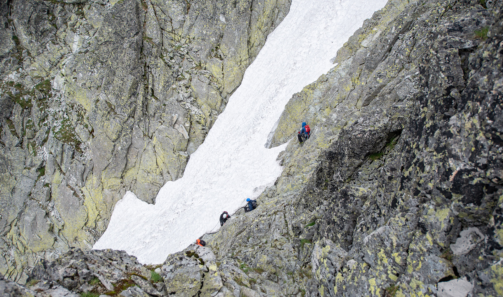
Gerlachovský štít - Batizovská próba

|
|

© Christian Nesset |
||||||||||||||||||||||||||||
| Statistics |
No visits of Gerlachovský štít - Batizovská próba have been registered yet. |
|---|