
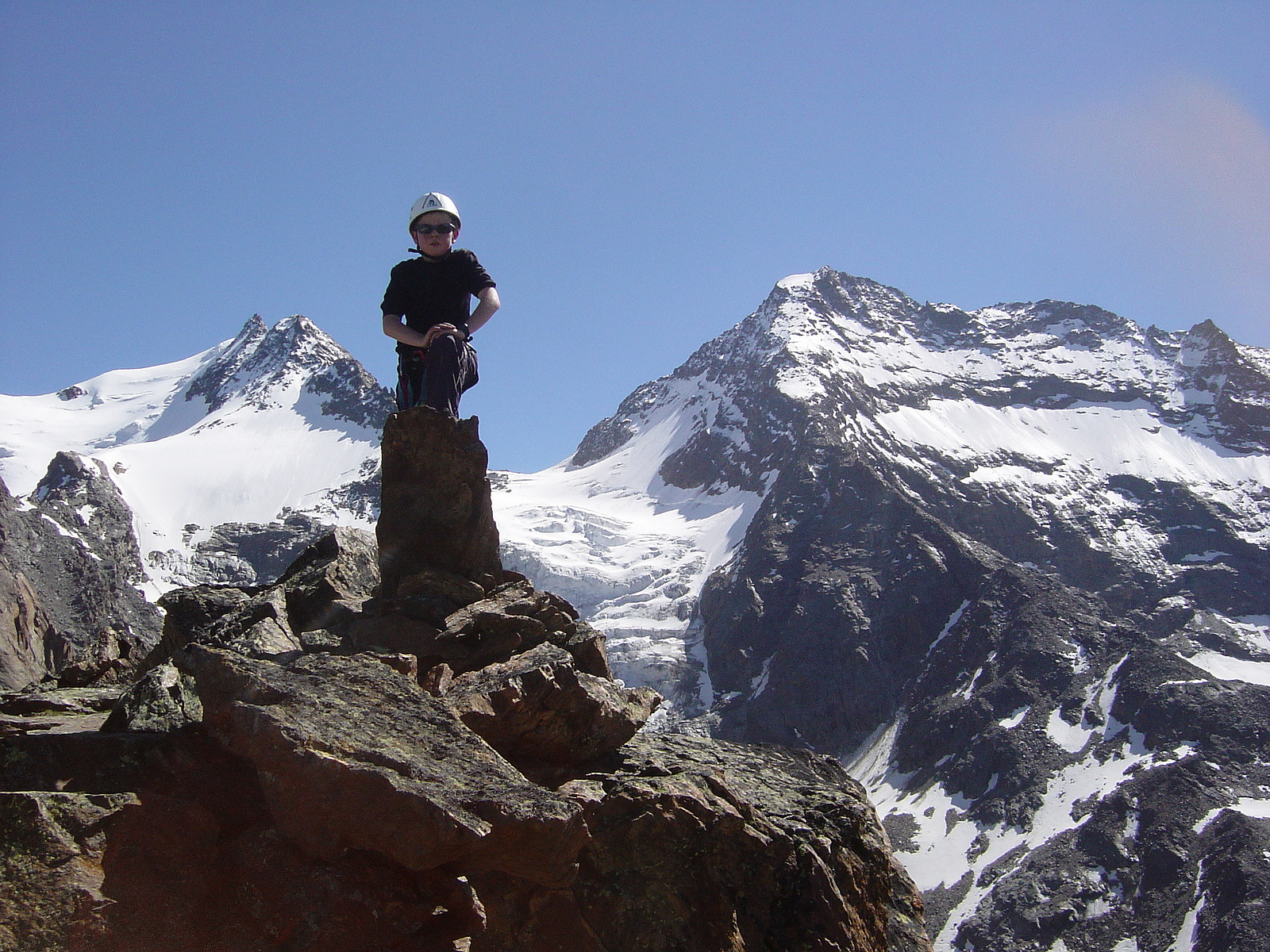
Jegihorn - 3206moh

|
|

© Ole-Petter Andersen |
||||||||||||||||||||||||
| Innhold | |
|---|---|
| Språk | |
| Fadder | ingen |
| Statistikk |
Totalt 6 medlemmer har registrert 11 bestigninger av Jegihorn. |
Kart
Bilder
Innledning
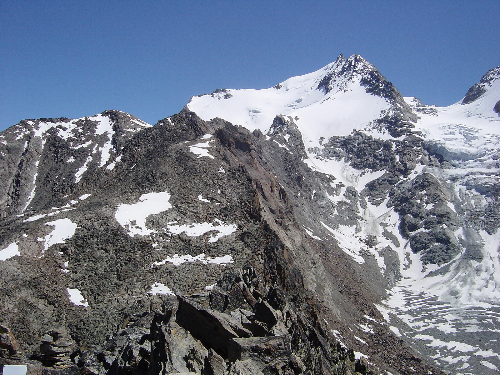
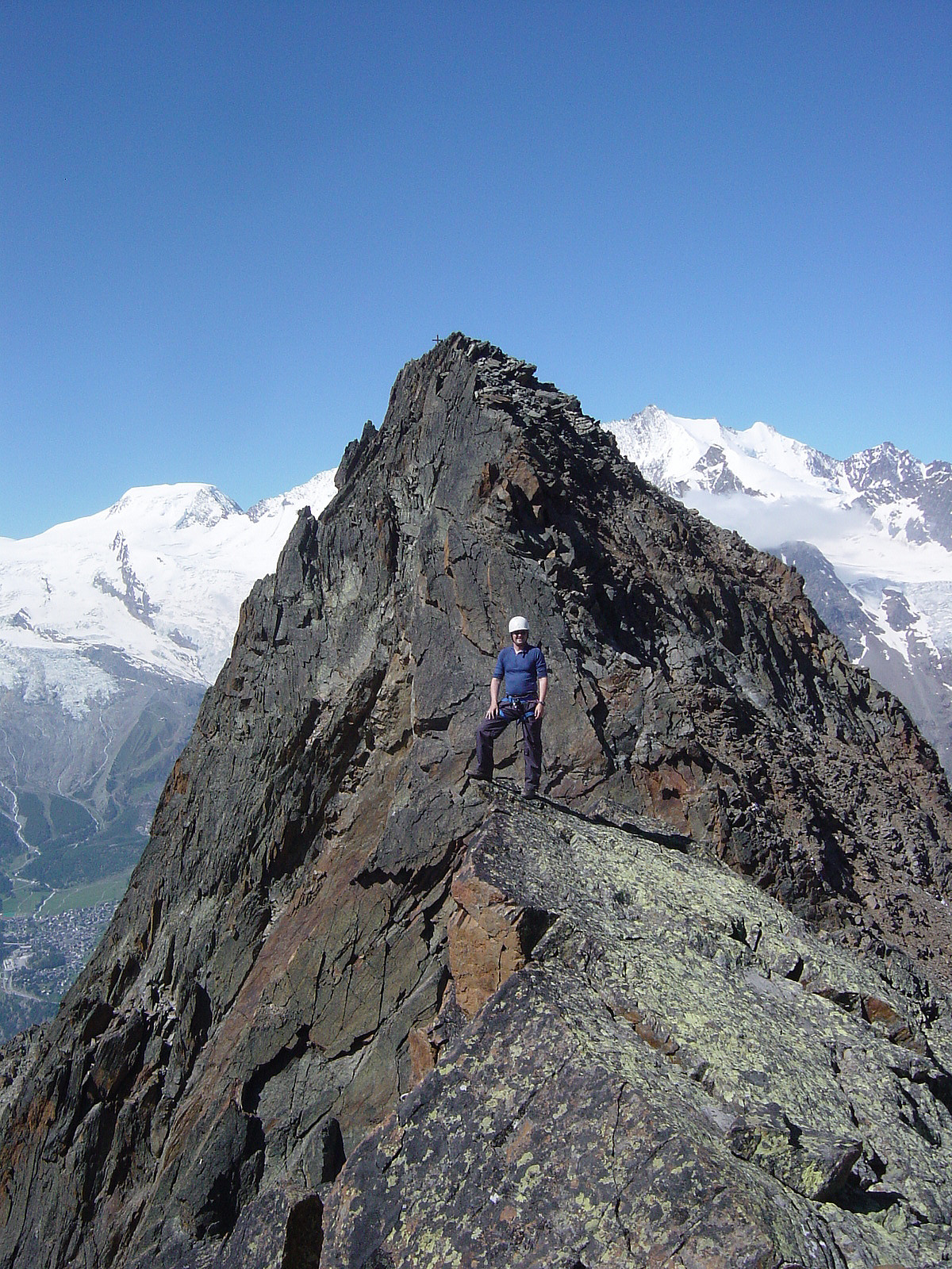
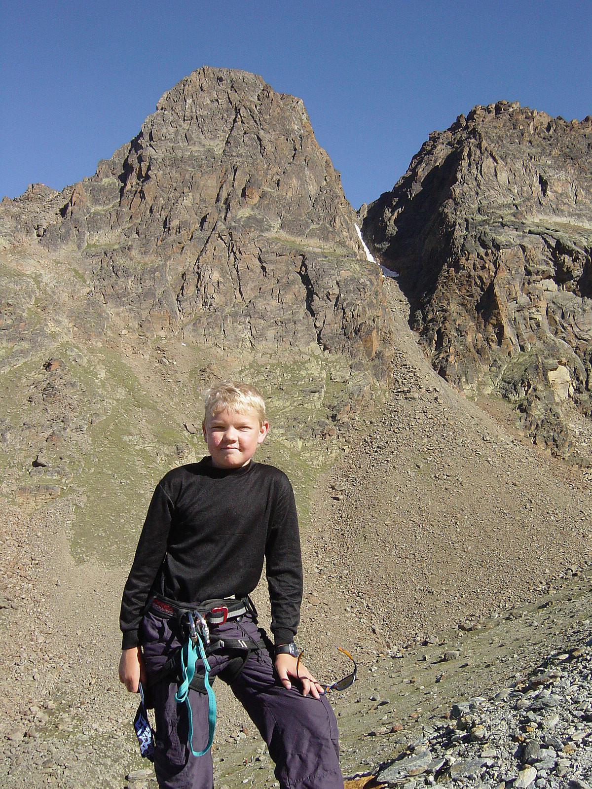
Jegihorn is an easy and short scramble summertime, but offers also more serious climbing, especially if continuing the Jegigrat against Fletschhorn.
Atkomst
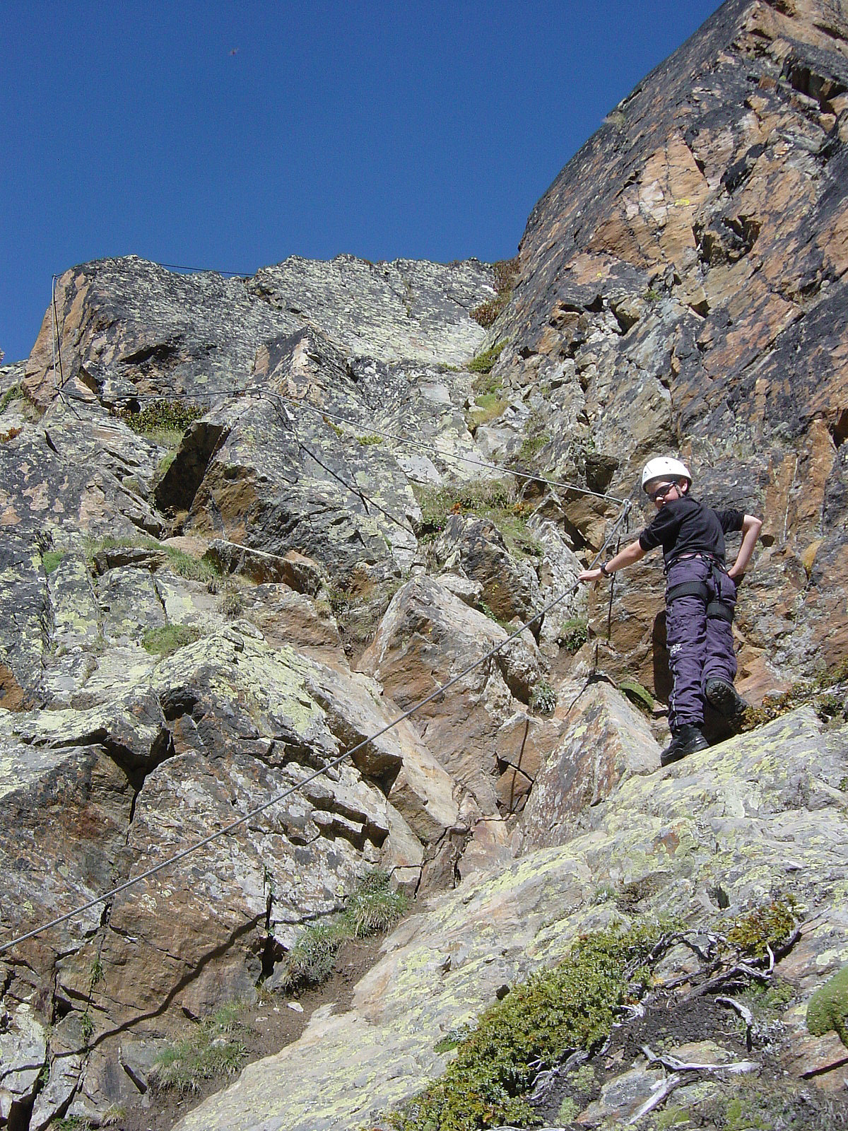
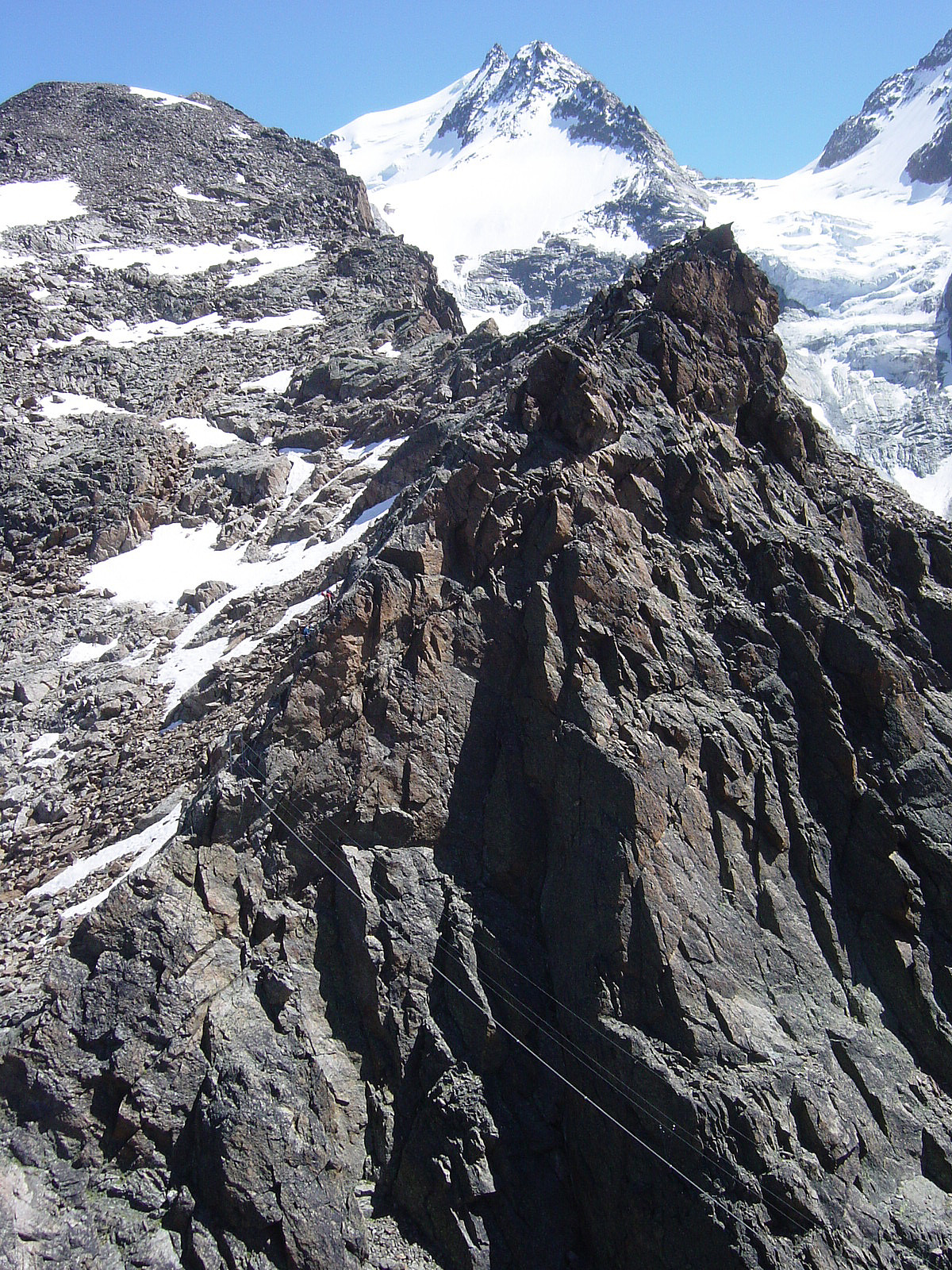
The most convenient way of ascending will be to take the cable car from Saas Grund (Hohsaas Saas-Grund) to Station Kreuzboden. Starting at 2400 meters (by the Weissmies hut), there are still 800 vertical meters to overcome. The easiest way (marked) follows the south (southwest) ridge/side of the mountain, but there is also a via ferrata (klettersteig) with fixed ropes/steel wires and ladders up the steep eastern side. Helmets should be used here!
Vinter
Tips og diverse
Bilder
Startsteder
Eksterne lenker
Litteratur og kilder
Flere bilder
 |
 |
 |
 |
 |
Turrapporter


Kommentarer