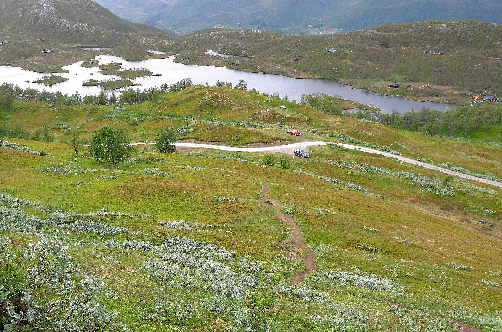
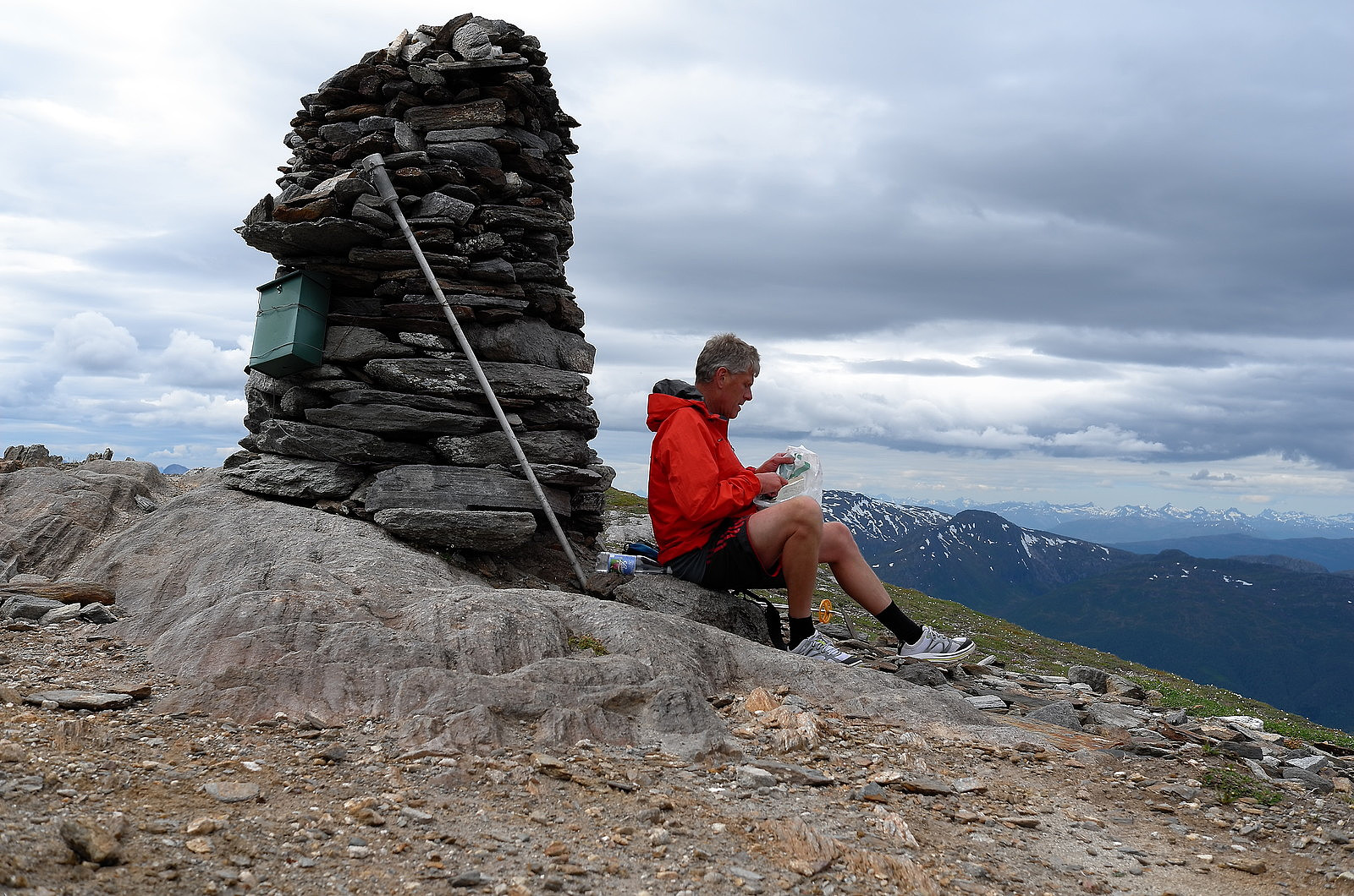
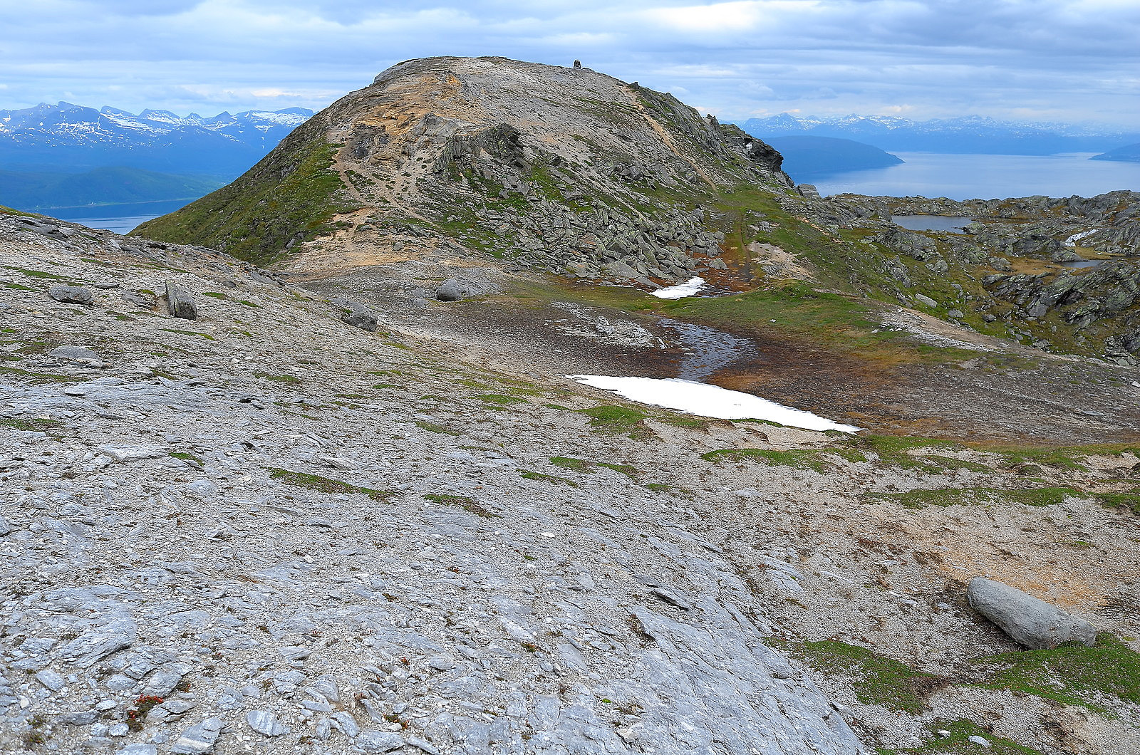
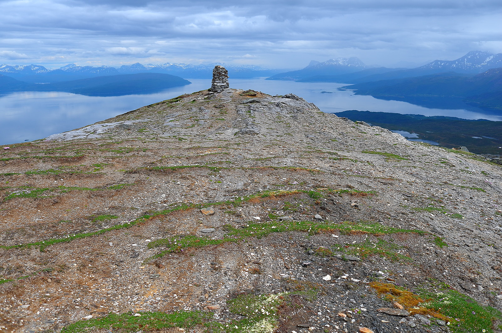
Håfjelltuva - 817m

Name Håfjelltuva
Search name Håfjelltuva
Elevation 817 meter
Region Narvik
Parent regions Europe, Norway, Norway mainland, Nordland, Ofoten
Vertical separation 602 meter
Adviser admin (Administrator)
Last modification 09.03.2016
Alternative name Vuopmegeaščohkka
First ascent
Level of difficulty not rated
Coordinates 33W 569702 7584857 (UTM)
Map Show object on map
Håfjelltuva

© Otto Lund

Content
Language
Adviser none
Statistics

Register ascent of Håfjelltuva.

Overall 12 members have registered 14 ascents of Håfjelltuva.

Håfjelltuva is contained on 10 lists.

We drove up the road that turns up the valley off the road 819 near the village of Skarnes. After about two kilometres there is a private road on the right. Take this and shortly after there is a sign asking for 20 NOK for use of the road. Money to be placed into a box. We continued on round two hairpin bends until a small barrier blocked the way. This was there to stop cars going further and getting stuck in the snow. Much of the snow had gone however. We walked up to the high point of the road and then turned left uphill, steeply at first, then easing. A snow shower blew in as we approached a ski station and visibilty was poor. We pressed on however and continued easily up to the summit and duly signed the book. Visibilty was not good and only intermittent views could be had. We returned in a southerly direction before swinging round to the east to return to the road and car. It only took just over two hours, a short afternoon or evening walk. My companions were Jon Massey and Ian Archer

Other pictures

Trip Reports

User comments

Comment title:
Characters left: 1000
Comment text: