
Round around Nordåsvatnet (28.03.2026)

Skrevet av HHauser (Helwig Hauser)

| Startsted | Varden (45moh) |
|---|---|
| Sluttsted | Varden (45moh) |
| Turtype | Blandet sykling |
| Turlengde | 3t 00min |
| Distanse | 23,8km |
| Høydemeter | 646m |
| GPS |
|
| Andre besøkte PBE'er | Skjoldabukta (5moh) | 28.03.2026 |
|---|---|---|
| Straume bro (5moh) | 28.03.2026 |

Trip Summary
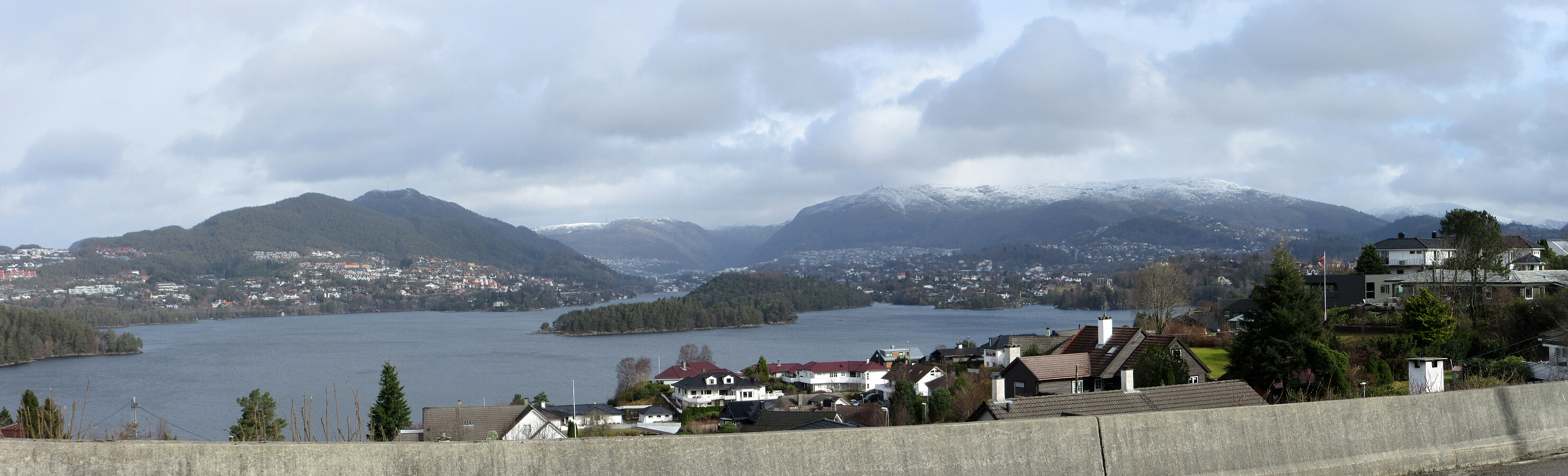
Without a particular goal in mind, we just thought that biking around Nordåsvatnet could be nice. After first heading south, in the west of Sælevatnet, we then crossed over Straume to Søreide, where we took a look a the church (just from the outside). Cycling up via Karlsmarka to connect to Dolvikvegen was an unusual alternative, then. Next, we had the idea to explore Søvika a little. Once back on Steinsvikvegen, we then followed "the usual track" around Steinsvika. We then connected to Nordåsvegen, but not via the usual connection (that's a bit higher up), but via Nordåsbrotet. Next was to cycle down to Skjoldabukta before it was up again along Harald Skjolds veg. Via Skjoldvegen and Sundts veg, we then got to Hopsåsen, which also was unusual as a connection to Troldhaugvegen. Thereafter, we did not include any usual excursions, but just completed our round around Nordåsvatnet along the most usual tracks.
Useful Resources
See also the related FB-page Hiking around Bergen, Norway.


Kommentarer