
Sjuråsen from Stussvikhovda snuplass (24.03.2026)

Skrevet av hbar (Harald Barsnes)

| Startsted | Stussvikhovda snuplass (60moh) |
|---|---|
| Sluttsted | Ølvesvegen v/Nordheim (10moh) |
| Turtype | Fjelltur |
| Turlengde | 1t 55min |
| Distanse | 8,3km |
| Høydemeter | 228m |
| GPS |
|
| Bestigninger | Sjuråsen (178moh) | 24.03.2026 16:35 |
|---|---|---|
| Andre besøkte PBE'er | Stussvikhovda snuplass (60moh) | 24.03.2026 15:22 |
| Husaberget Hamarhaug (20moh) | 24.03.2026 16:05 |
Sjuråsen from Stussvikhovda snuplass
When another two-day meeting at Solstrand came to an end, I did what has now almost become a tradition, i.e. I made a long solo detour to a new peak before finally heading back to Bergen later in the evening. This time I had settled on Sjuråsen as my target, even though it has a vertical separation of only 99.4. The required motivation to still visit this peak came from Peakbagger where, due to only storing integer values, the prominence value is set to 100.
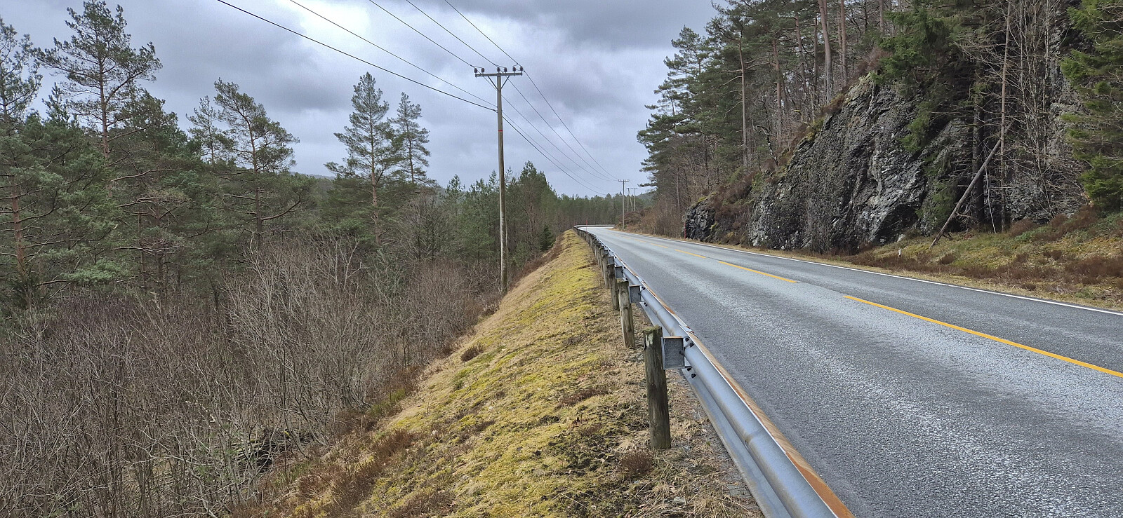
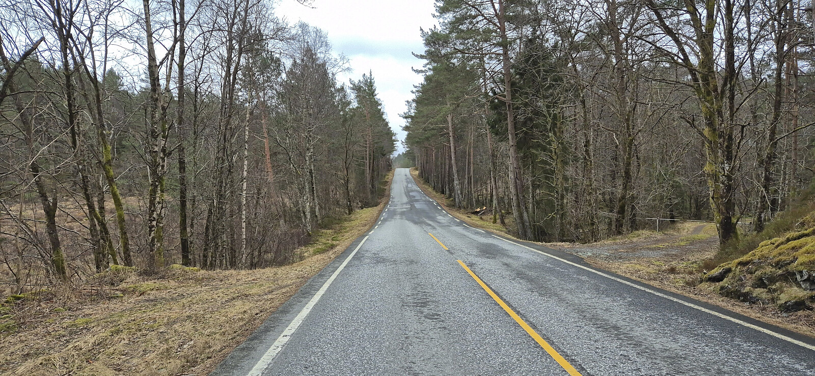
By taking the bus (and ferry) south from Solstrand, I got as far as Stussvikhovda snuplass from where I had to walk the remaining 4.3 km to the start of a tractor road southwest of the summit. Note that unless you count the grass-covered area on the outside of the guard rails, which I partially made use of, there were no sidewalks, however the traffic was thankfully limited.
Just before getting to the tractor road, I apparently passed by some old rock carvings, however I failed to notice this until getting home. In my defense, the carvings are now very faint and even hard to locate when zooming in on the surfaces via Google Street View.
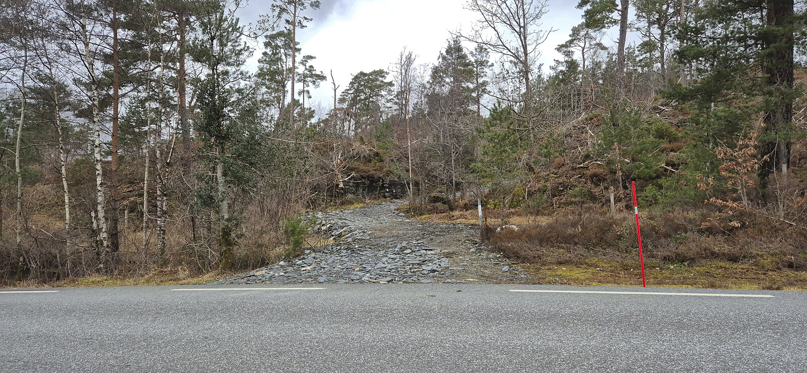
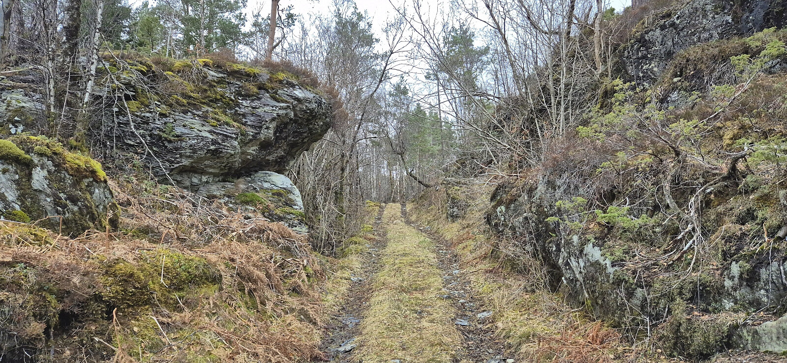
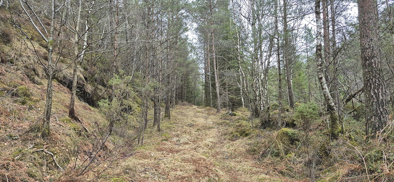
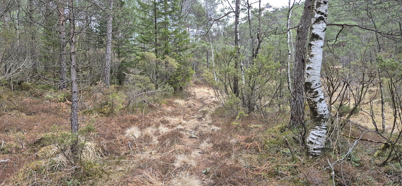
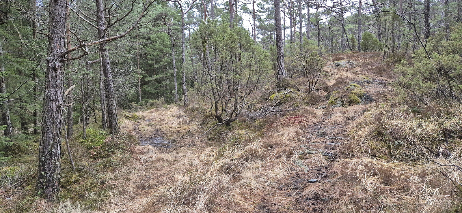
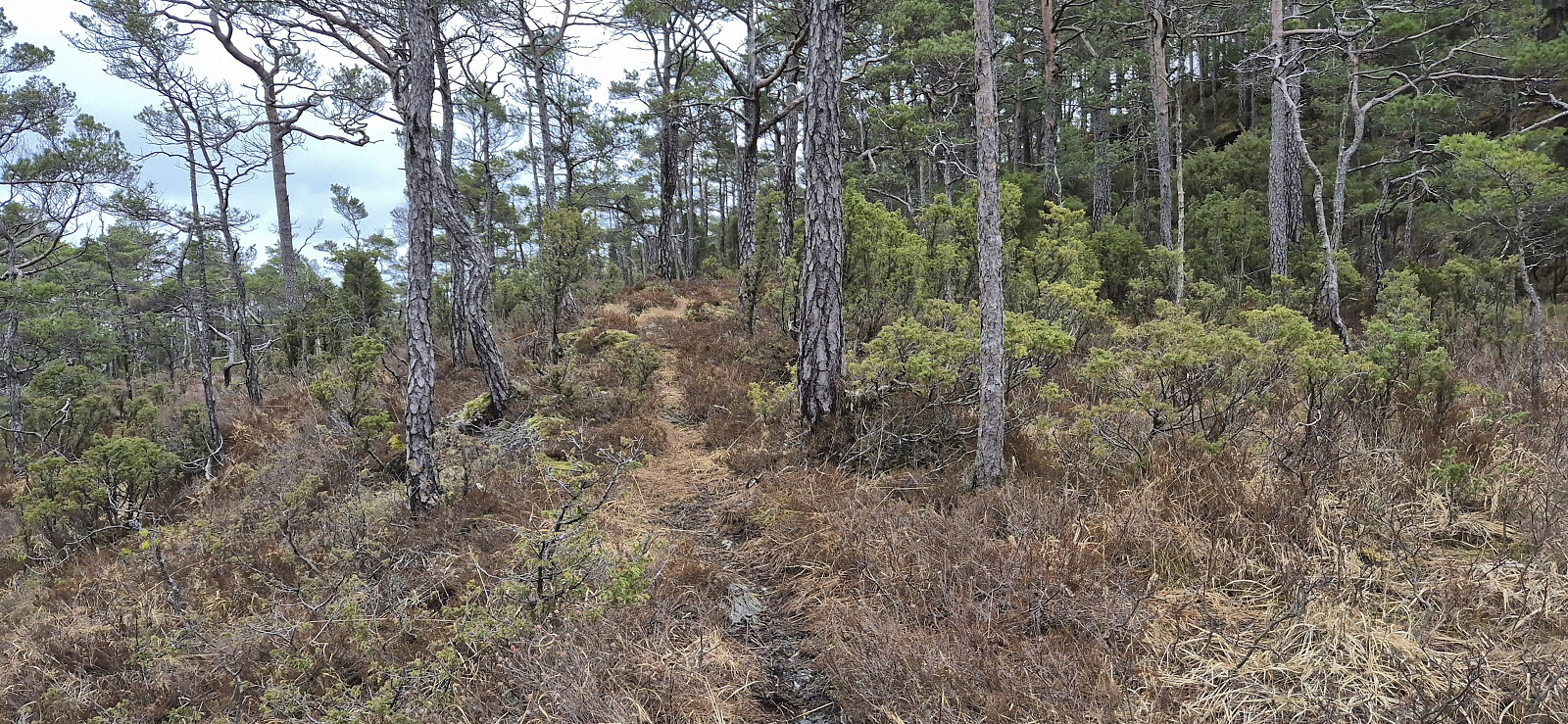
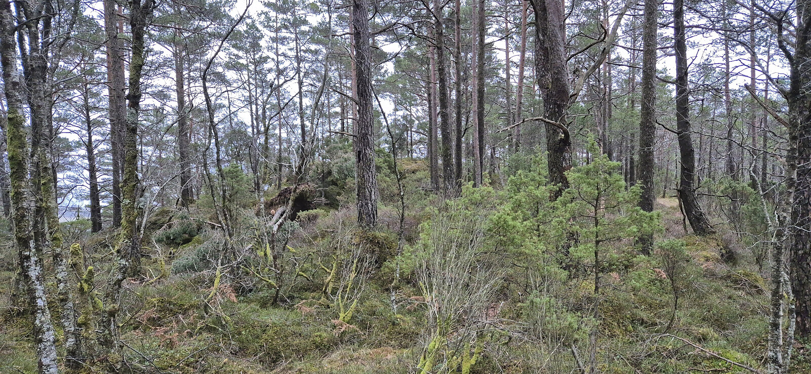
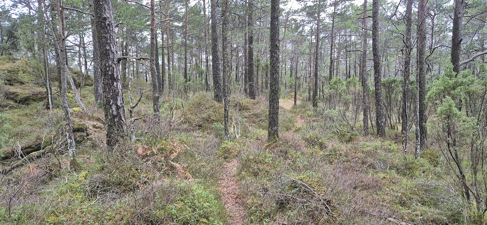
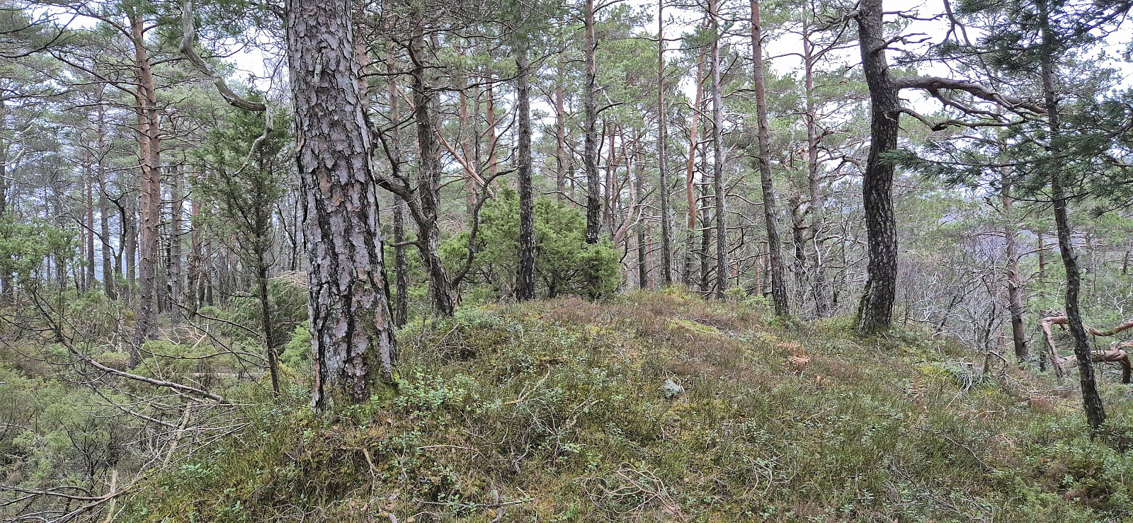
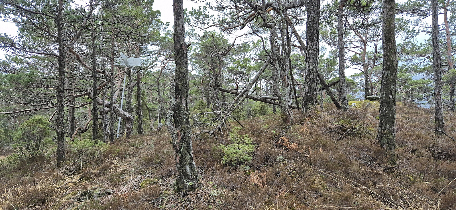
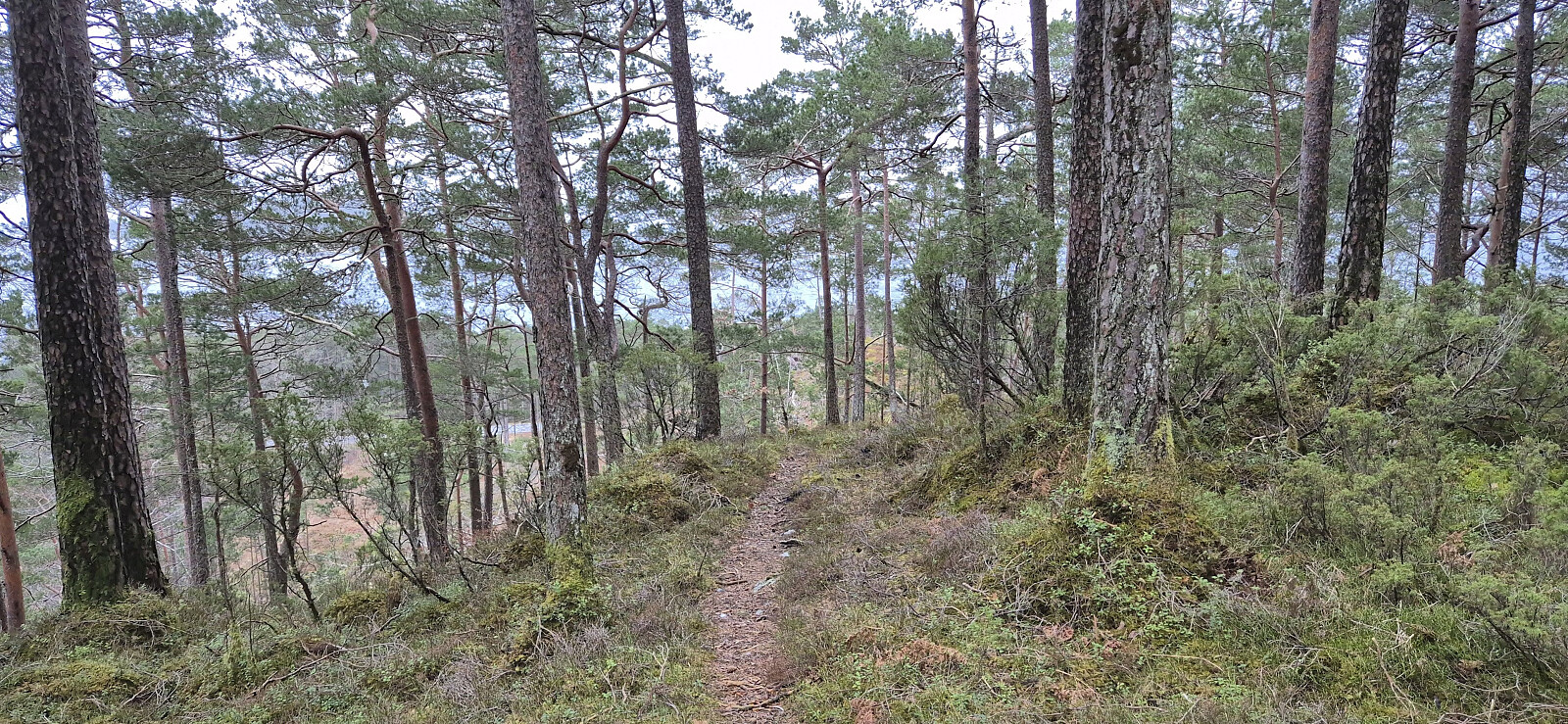
The start of the tractor road was however much easier to locate and to my surprise it could be followed almost all the way to the summit, although it gradually morphed into a trail along the way. Only the final 100 meters or so has to be defined as off-trail, but I did come across a nice-looking trail just west of the highest point, so maybe I was simply not patient enough and should have waited longer before aiming for the summit.
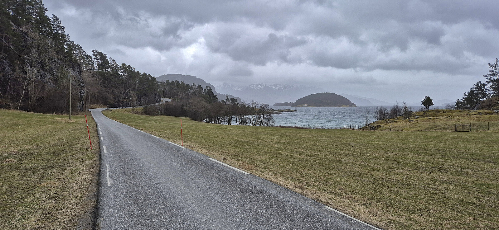
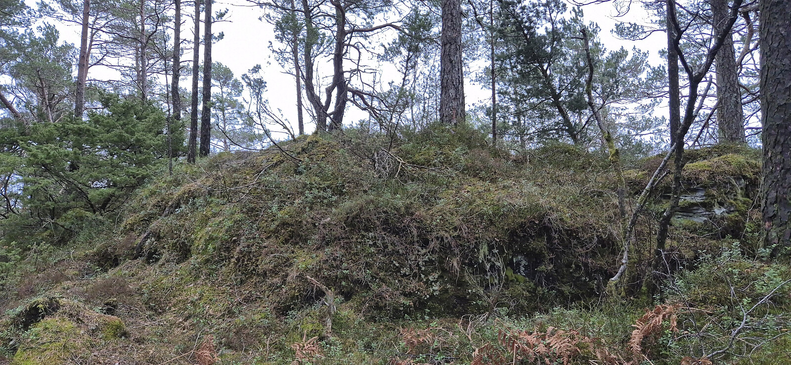
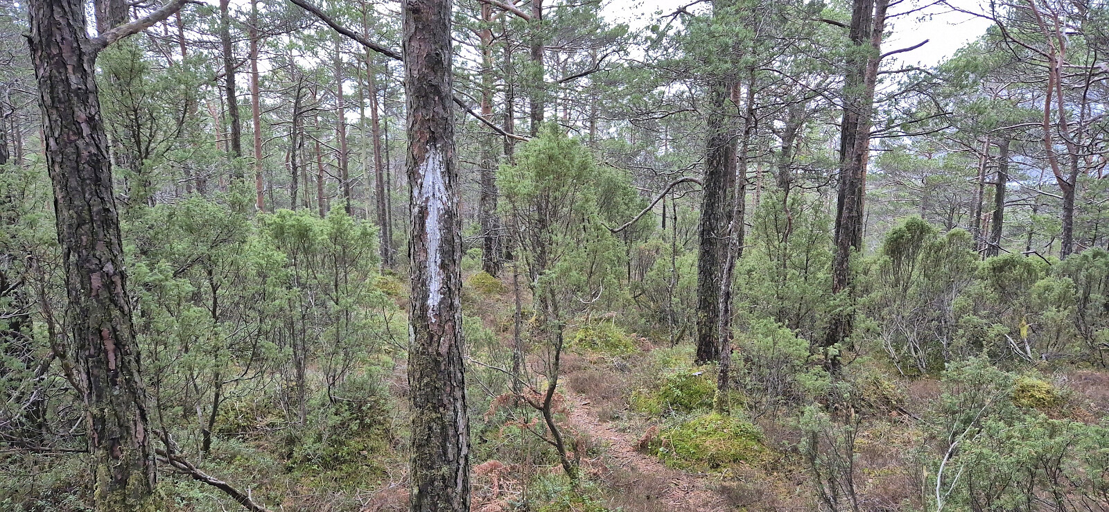
After a quick visit of the summit, which provided rather limited views, I returned to the mentioned trail and proceeded to follow it to a metal trig marker around 100 meters to the southwest. From there on the trail was marked with white paint and led my with relative ease back to (almost) the start of the tractor road. I expected to see a sign here, or at least some indication of the trailhead, but failed to do so, explaining why I had missed it during the ascent. All that remained was then to follow the main road back north to a bus stop and start my long return journey to Bergen, including an hour of waiting for the ferry at Våge and almost four hours in total.
To conclude, my experience of Sjuråsen was rather different from Petter's and did not include any arguments with the locals. The fact that there was a marked trail pretty much all the way to the summit was also a positive surprise. Both my ascent and descent routes can be recommended, although the former was significantly wetter.
| Starttidspunkt | 24.03.2026 15:22 (UTC+01:00) |
| Sluttidspunkt | 24.03.2026 17:17 (UTC+01:00) |
| Totaltid | 1t 55min |
| Bevegelsestid | 1t 52min |
| Pausetid | 0t 3min |
| Snittfart totalt | 4,3km/t |
| Snittfart bevegelsestid | 4,4km/t |
| Distanse | 8,3km |
| Høydemeter | 228m |


Kommentarer
Sjuråsen har en "Turløype"
Skrevet av petter 26.03.2026 08:15Hei Harald, GODT JOBBET! Da har du funnet en god vei som unngår den uvennlige bonden! Om høsten kan man nok fortsatt treffe hjortejegere, men de oppfører seg sikkert slik man forventer.