
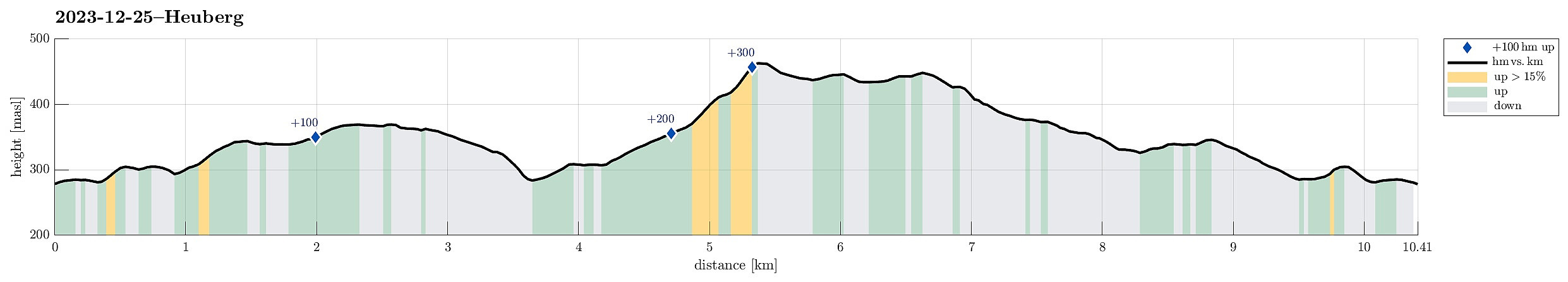
Excursion to Heuberg (25.12.2023)

Skrevet av HHauser (Helwig Hauser)

| Startsted | An der Niederhaid (280moh) |
|---|---|
| Sluttsted | An der Niederhaid (280moh) |
| Turtype | Fottur |
| Turlengde | 3t 00min |
| Distanse | 10,4km |
| Høydemeter | 386m |
| GPS |
|
| Bestigninger | Heuberg (464moh) | 25.12.2023 |
|---|---|---|
| Andre besøkte PBE'er | Jubiläumswarte (449moh) | 25.12.2023 |
Trip Summary
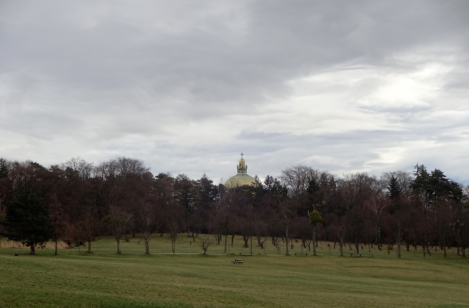
I wished to get some fresh air and so headed out for a walk. First, I headed towards Steinhof, walking across the green area towards the old fire station in the north of Steinhof. I then continued "in parallel" to Savoyenstraße, passing by the Schloss at Wilheminenberg soon after. Turning left, a bit further down, again, I stepped down Eselstiege (into the direction of Heuberg). On the other side, I followed two streets to get up to Röntgengasse. Walking up Röntgengasse, I got back into the forest (in the southeast of Heuberg). Following some minor trails, I quickly made it up "to the top" of Heuberg. From Heuberg, I then walked along the heights to Jubiläumswarte. From there, I "improvised" through Gemeindewald to get back. Crossing Loiblstraße in the northwest of Steinhof, I ended up at Andayweg, which did not lead me anywhere. Walking this road back a little, however, brought me back onto the road along the outer delimitation of Steinhof. Following this road brought me then back in a "straight-forward" way. :-)
Useful Resources
See also the related FB-page Hiking around Bergen, Norway.


Kommentarer