
Orresiktet, Langaneset and Peneset (13.01.2024)

Skrevet av hbar (Harald Barsnes)

| Startsted | Vestre Vadmyra (22moh) |
|---|---|
| Sluttsted | Vadmyra (50moh) |
| Turtype | Fjelltur |
| Turlengde | 2t 00min |
| Distanse | 5,4km |
| Høydemeter | 194m |
| GPS |
|
| Bestigninger | Vest for Orresiktet (75moh) | 13.01.2024 |
|---|---|---|
| Penesskjenet (67moh) | 13.01.2024 |
Orresiktet, Langaneset and Peneset
On a wet and gray Saturday I settled on a short hike with the main objective of visiting yet another minor hill on the Alle topper i Bergen list, namely Vest for Orresiktet.
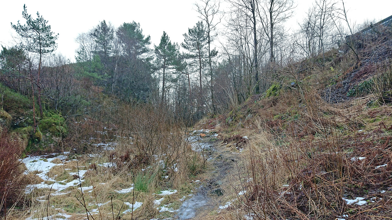
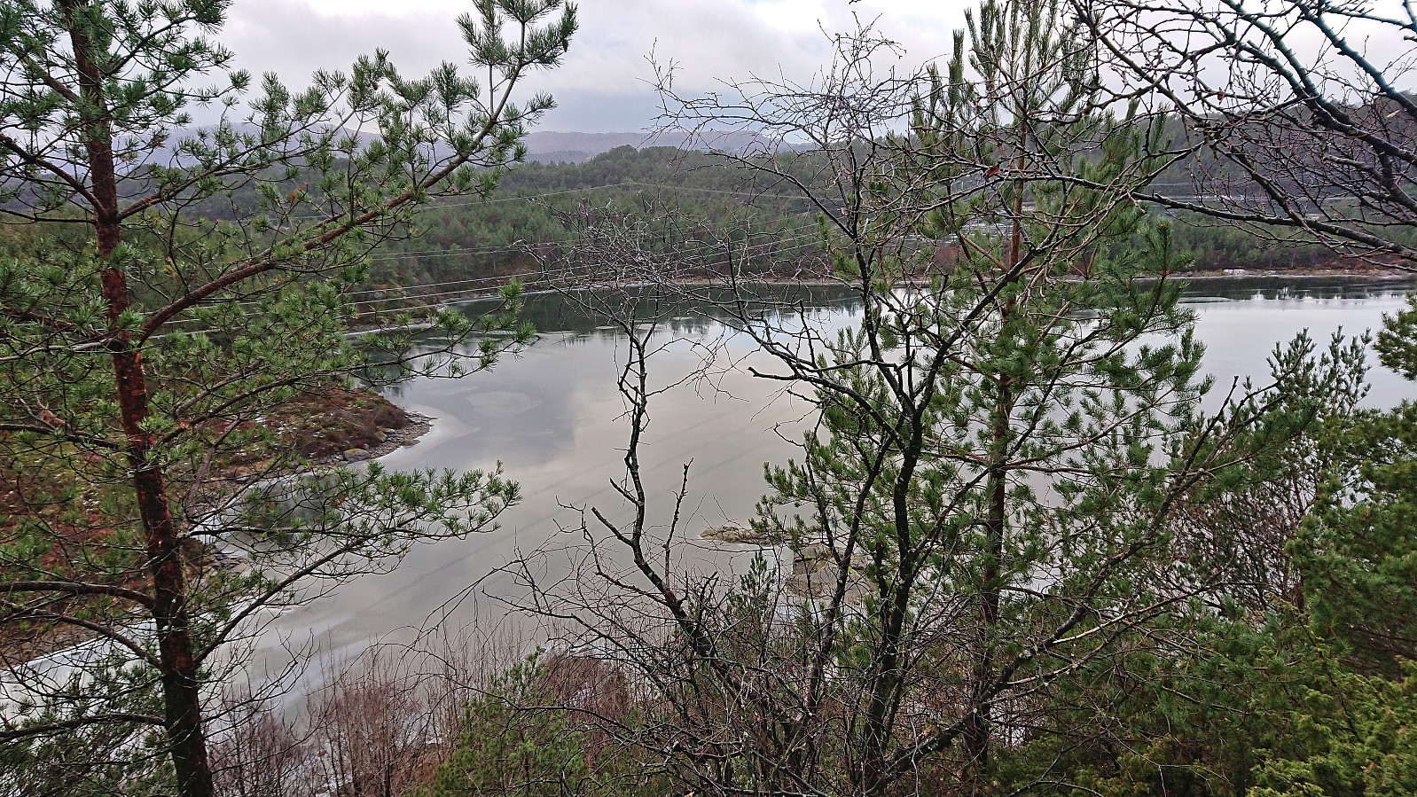
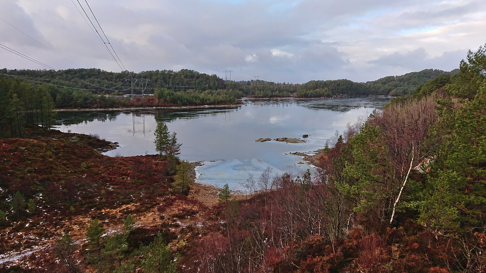
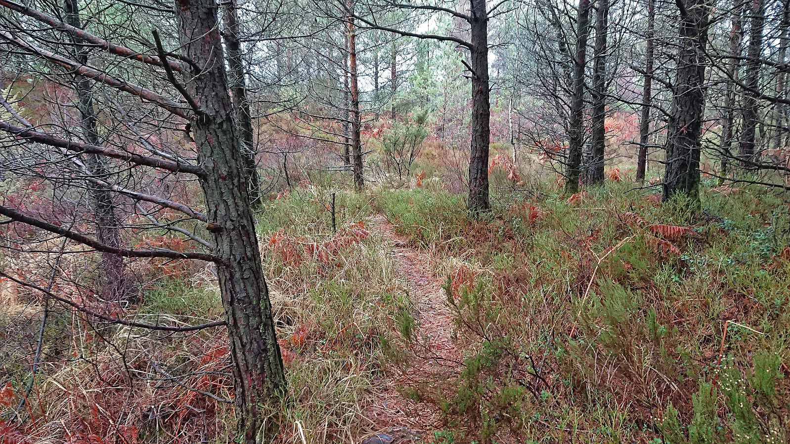
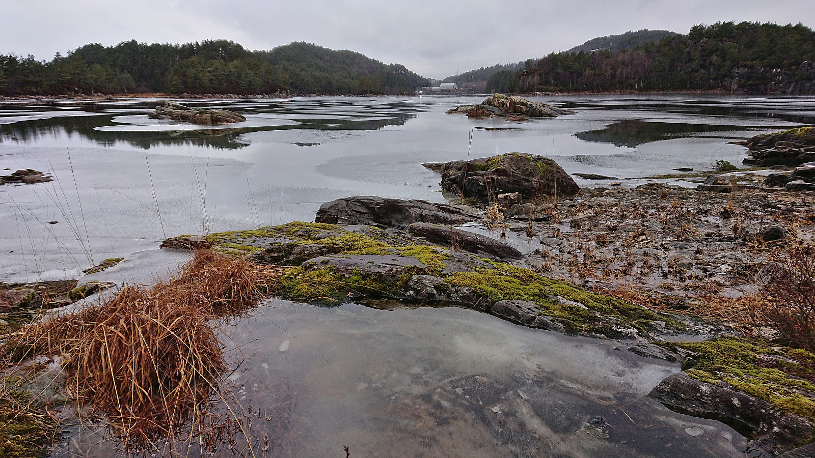
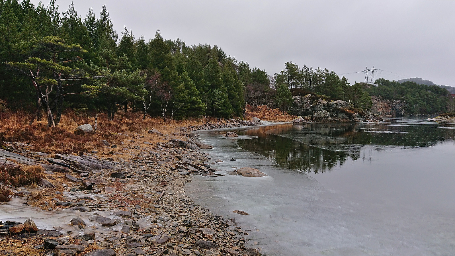
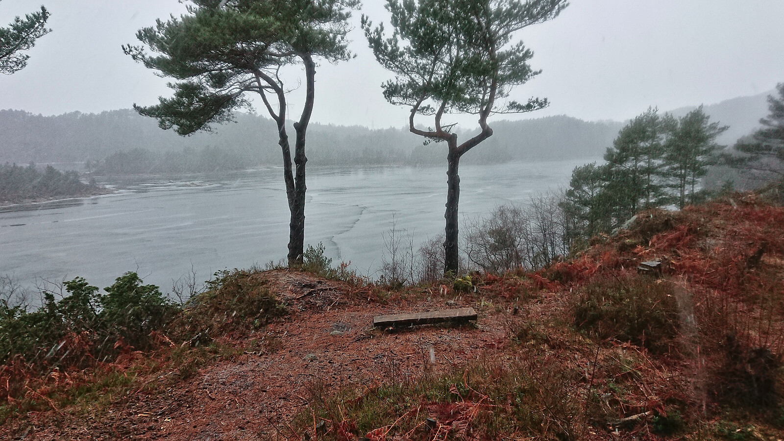
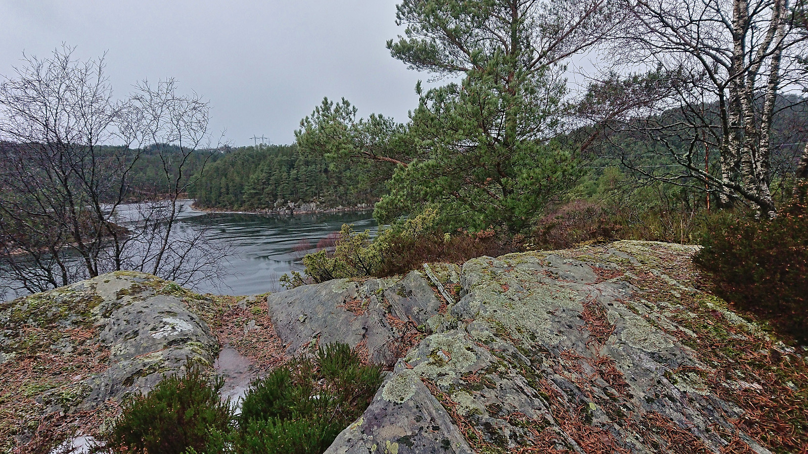
After taking the bus to Vadmyra I walked the short distance west to Hetlevikåsen where I easily located an unmarked trail down to Langaneset. Before ascending off-trail to Vest for Orresiktet I made the short detour to the real Orresiktet, a slightly lower hill to the east. Both provided limited views across different parts of Storavatnet but were not the most interesting locations.
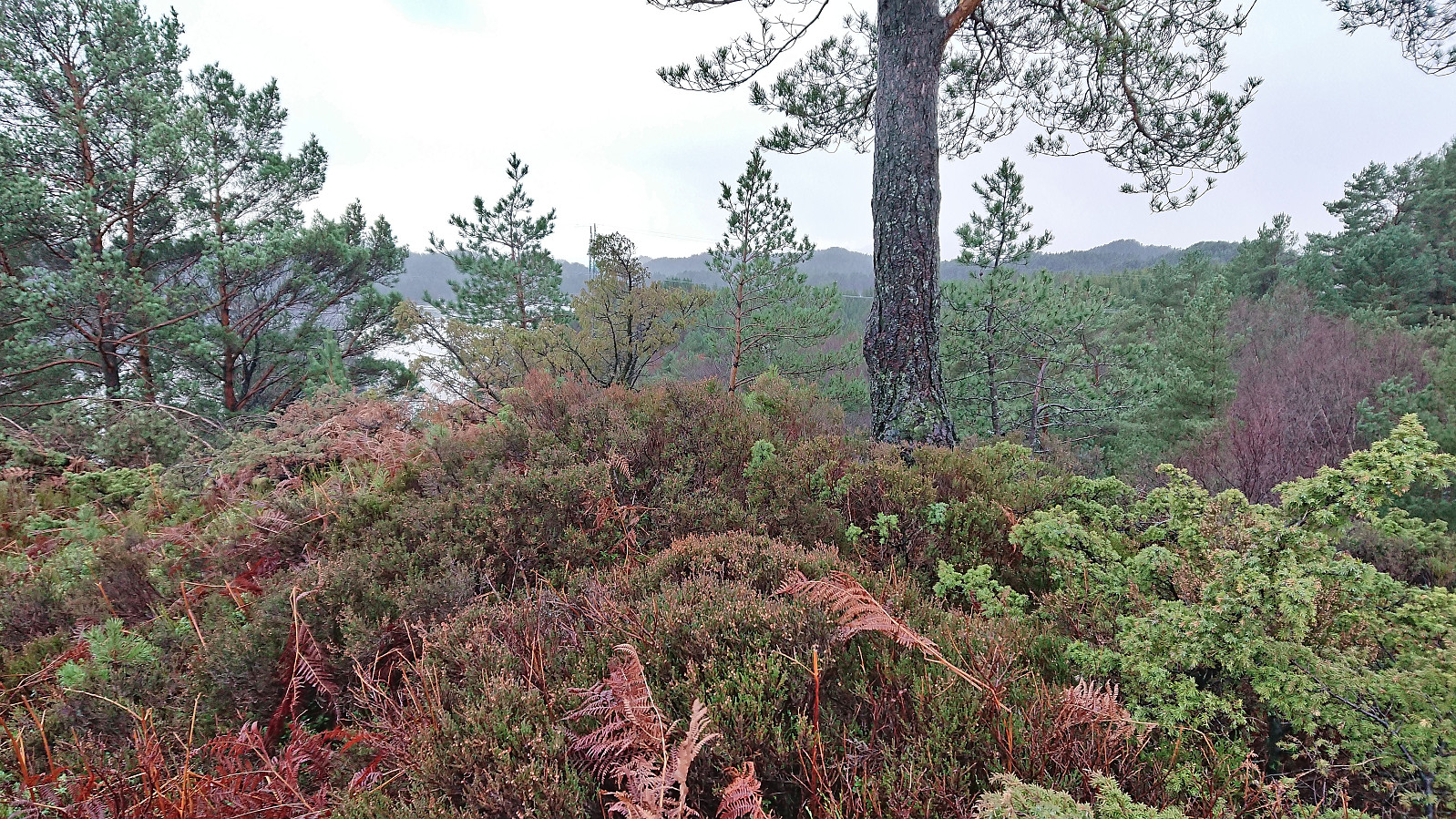
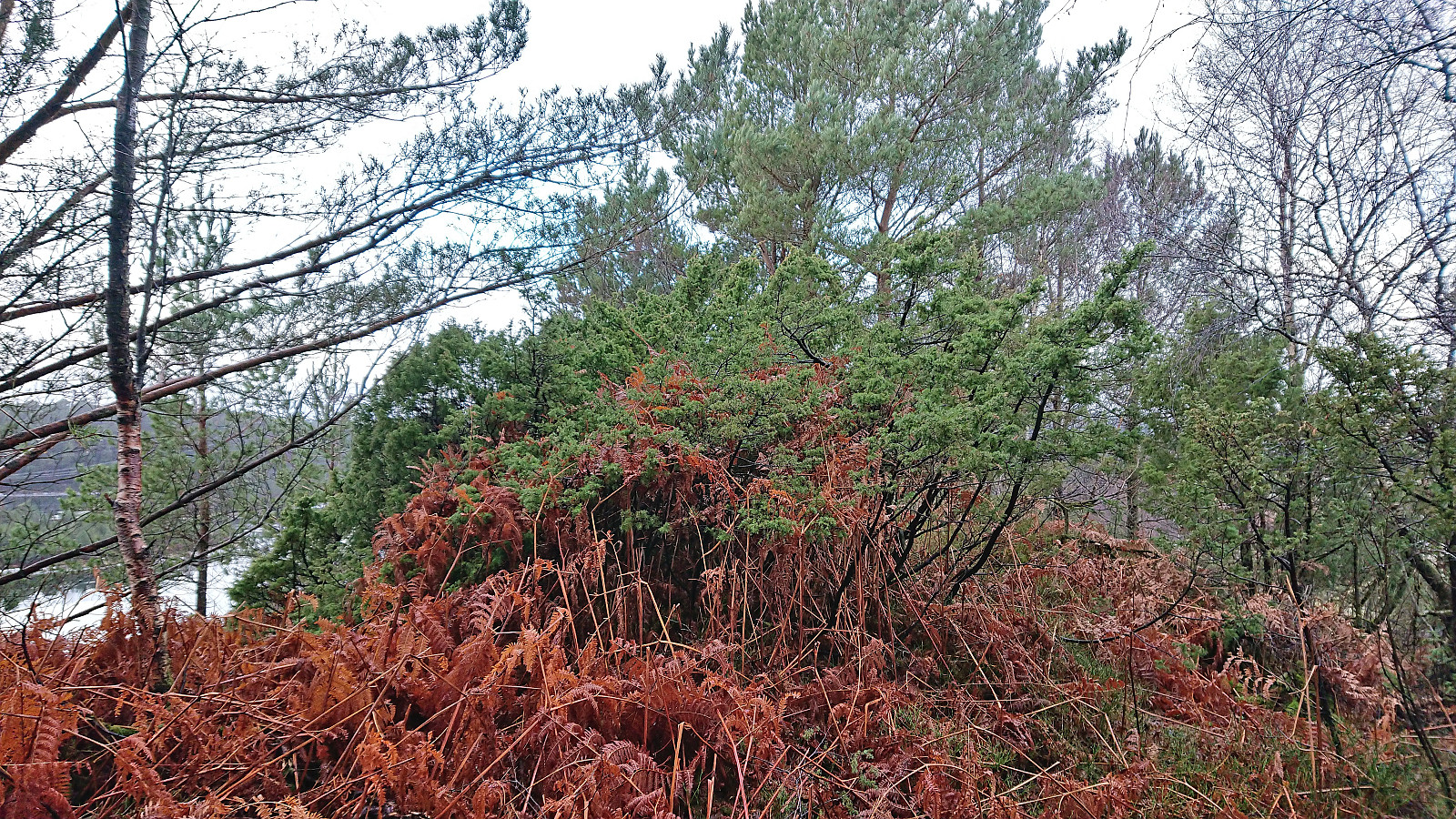
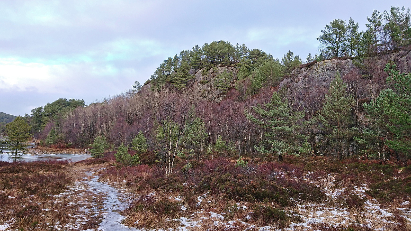
In order to extend an otherwise very short hike, I decided to also explore Langaneset, starting with a brief off-trail visit of Revekulten (62 m, PF of around 14). I then returned to the many unmarked trails at Langaneset and continued to its northmost point (along rather weak trails towards the end) before returning along different trails via the southern part of the peninsula.
When getting back to Hetlevikåsen I decided to also explore Peneset and the potential new minor summit Penesskjenet. I therefore headed north where I located an unmarked trail that could be followed all the way to the summit, now added as its own PB-element. From the summit, I followed various weak trails north and then east to connect with a gravel road. This road later turned into a paved road which led me to the bus stop for the bus back to the city center.
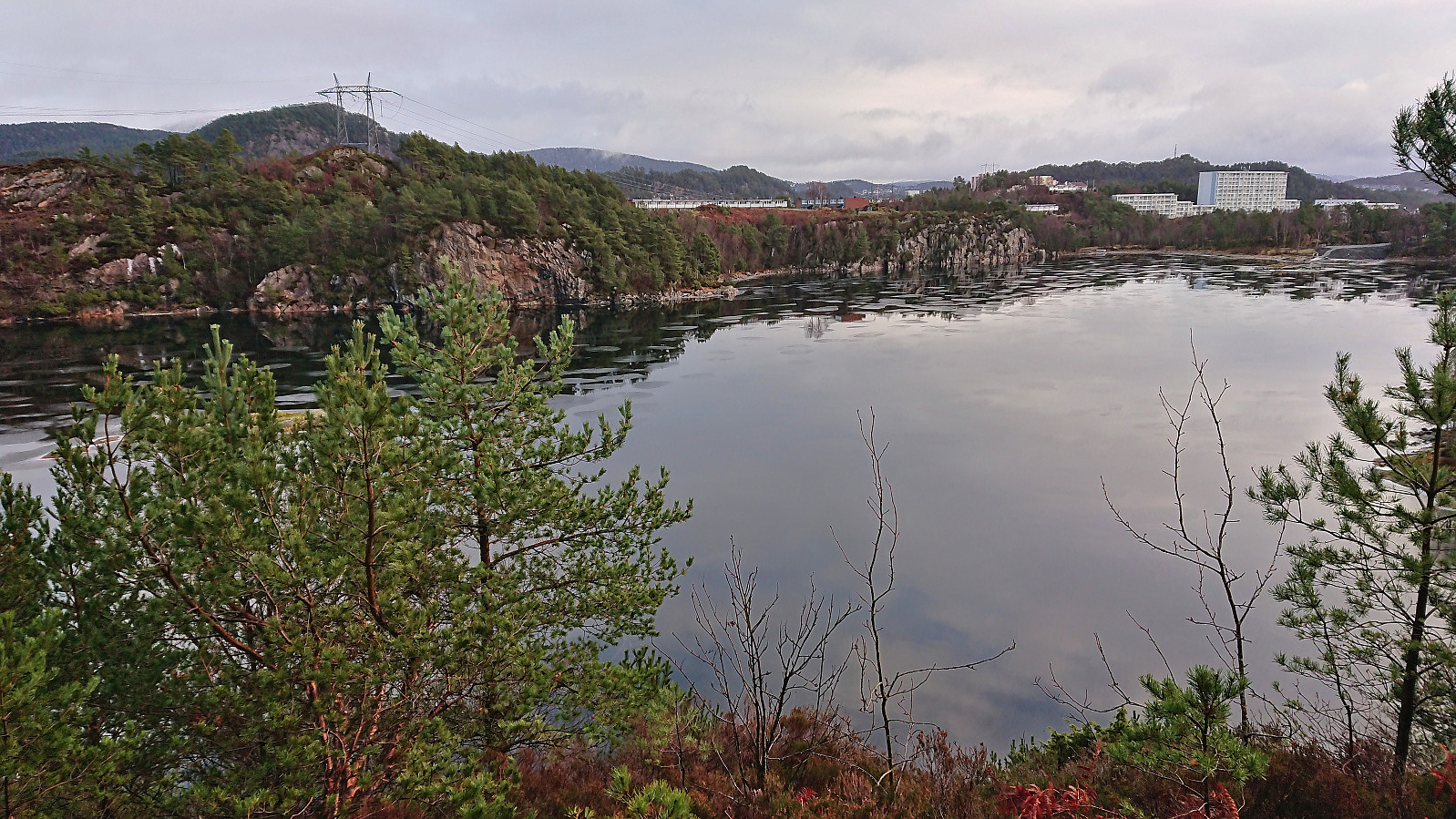
Overall, a nice short hike with some unusual views of Storavatnet. And while Penesskjenet can be quite easily visited, a visit of Vest for Orresiktet is definitely more of an acquired taste and can be skipped by most hikers.

| Starttidspunkt | 13.01.2024 13:07 (UTC+01:00) |
| Sluttidspunkt | 13.01.2024 15:07 (UTC+01:00) |
| Totaltid | 2t 00min |
| Bevegelsestid | 1t 48min |
| Pausetid | 0t 11min |
| Snittfart totalt | 2,7km/t |
| Snittfart bevegelsestid | 3,0km/t |
| Distanse | 5,4km |
| Høydemeter | 194m |


Kommentarer