
Svadfjellet and Dukefjellet from Kringla to Haugsvær (19.06.2022)

Skrevet av hbar (Harald Barsnes)

| Startsted | Kringla (241moh) |
|---|---|
| Sluttsted | Haugsvær kryss (65moh) |
| Turtype | Fjelltur |
| Turlengde | 6t 46min |
| Distanse | 21,8km |
| Høydemeter | 1133m |
| GPS |
|
| Bestigninger | Dukefjellet (834moh) | 19.06.2022 |
|---|---|---|
| Gavlen (700moh) | 19.06.2022 | |
| Svadfjellet (877moh) | 19.06.2022 | |
| Andre besøkte PBE'er | Skitdalen (555moh) | 19.06.2022 |
| Svadfjellet p-lomme og stistart (225moh) | 19.06.2022 |
Svadfjellet and Dukefjellet from Kringla to Haugsvær
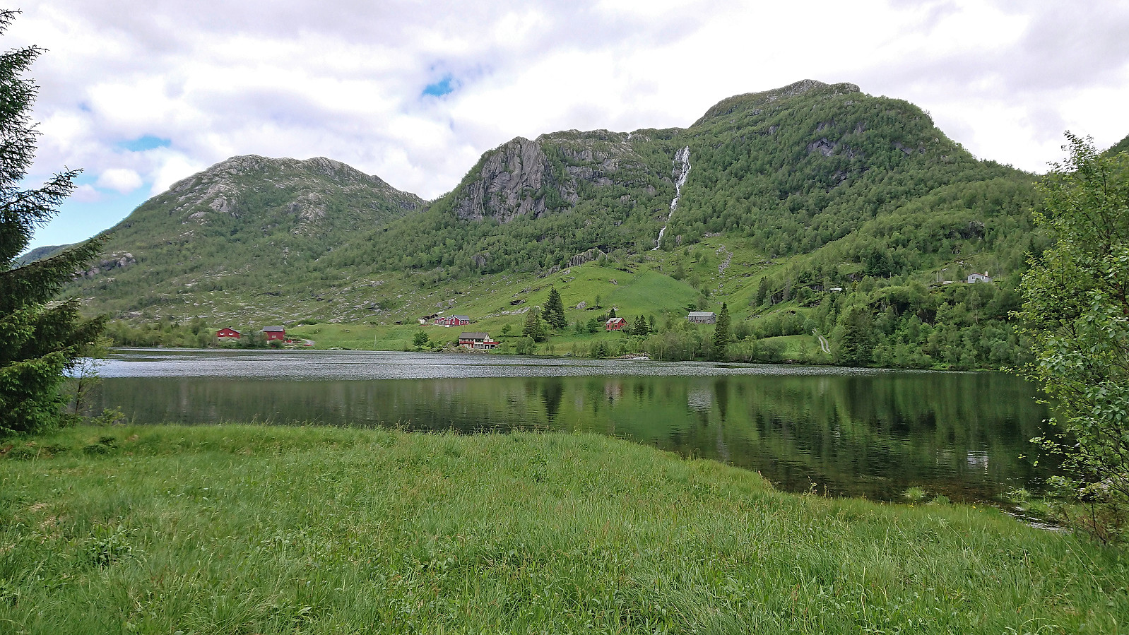

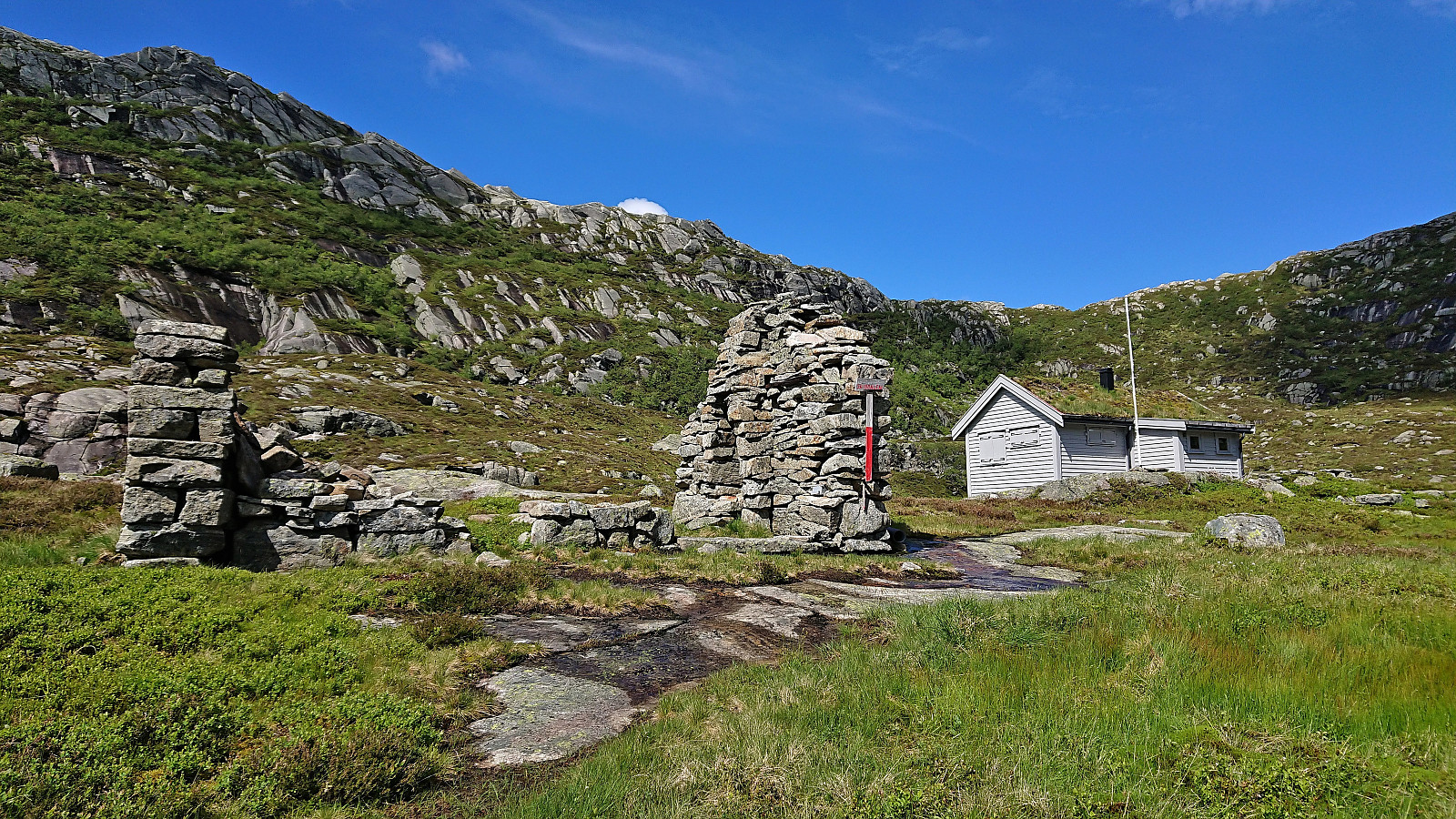
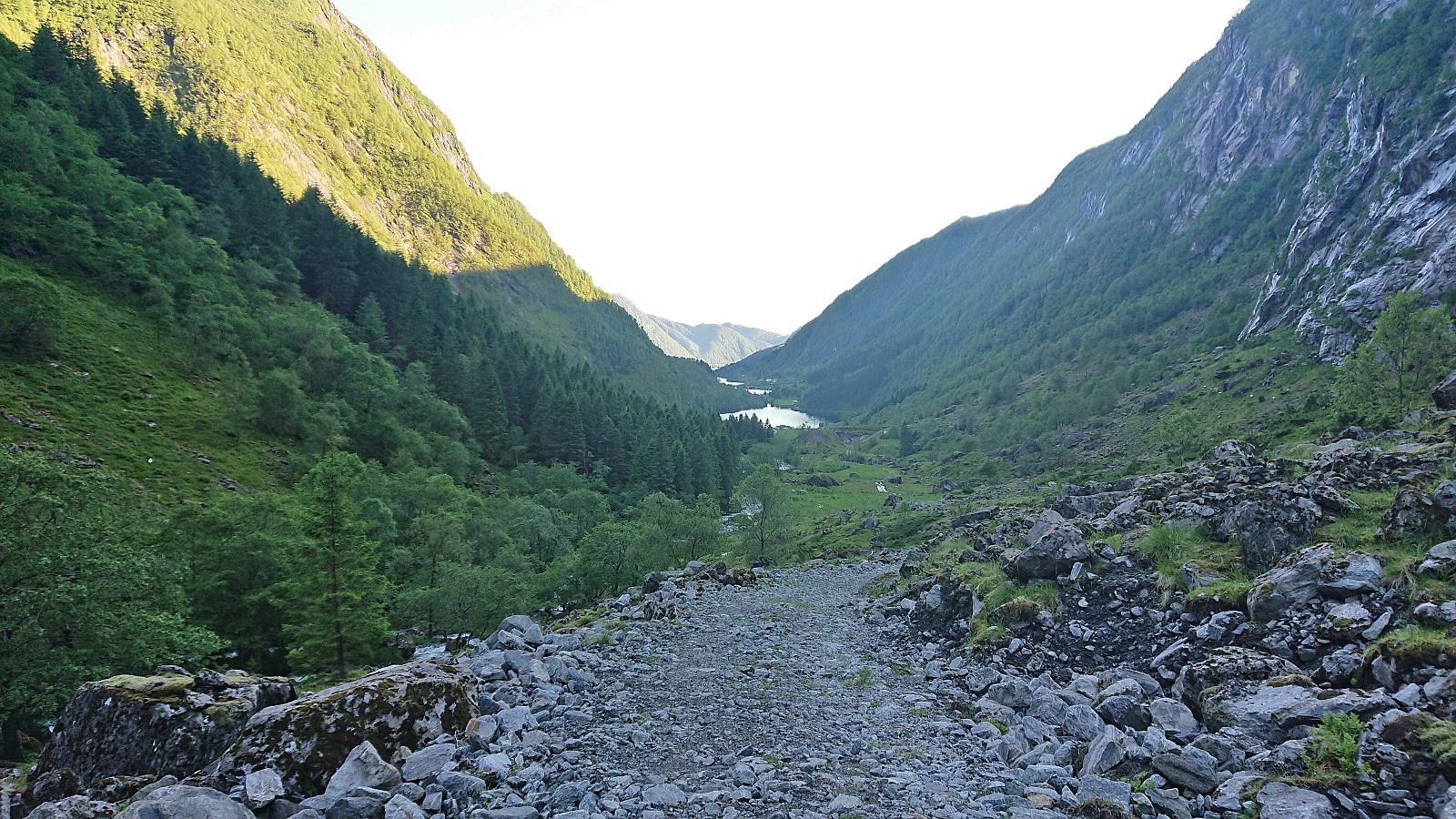
For my visit of Dukefjellet I decided to combine GeirL (Geir Lie)'s ascent from Kringla with petter (Petter Bjørstad)'s descent via Hopsdalen and of course also adding my own twist. I started by taking the bus to Kringla where the bus stop is located about 650 meters south of the trailhead. In order to reduce the walk along the main road (as there is no sidewalk), I started with a minor detour around Husevatnet. This also allowed me to inspect the alternative trailhead east of the lake, but as I did not see any trail or signs indicating a trailhead, I concluded that this trail had most likely not improved since Geir used it for his descent three years earlier.
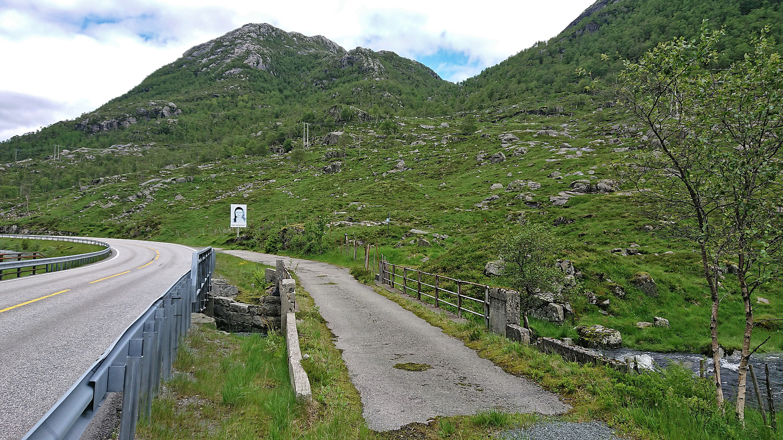
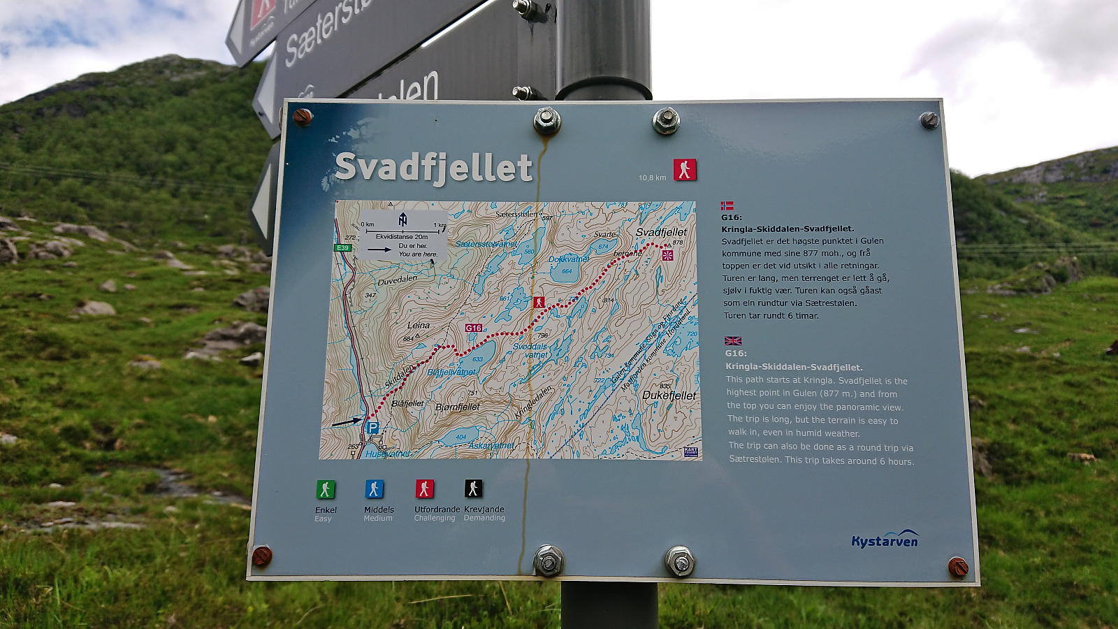
After a short walk along the main road, where it was easy to stay out of the way of the traffic, I finally arrived at the marked trailhead. As expected, there was no mentioning of Dukefjellet, rather Svadfjellet was highlighted as the main trip objective. I quickly concluded that passing by Svadfjellet on my way to Dukefjellet would not be much longer than my initial plan, and when also learning that Svadfjellet had a PF of 242 and was even included on the Opptur Sogn og Fjordane list, the choice to include it in my trip was easy.
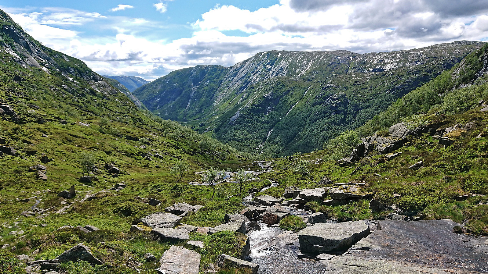
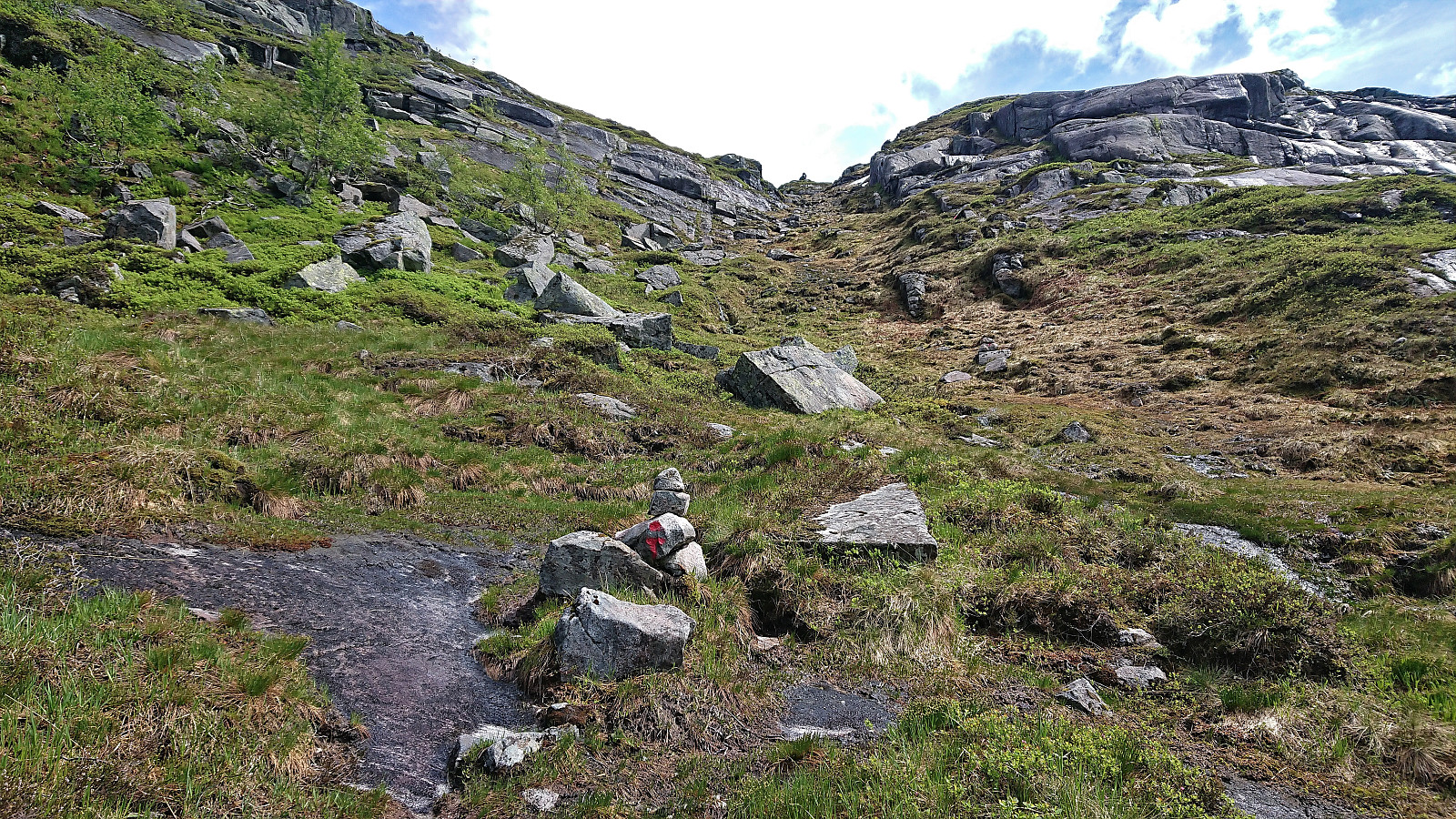
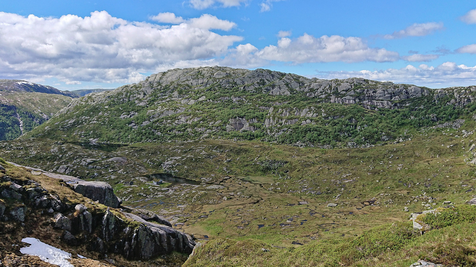
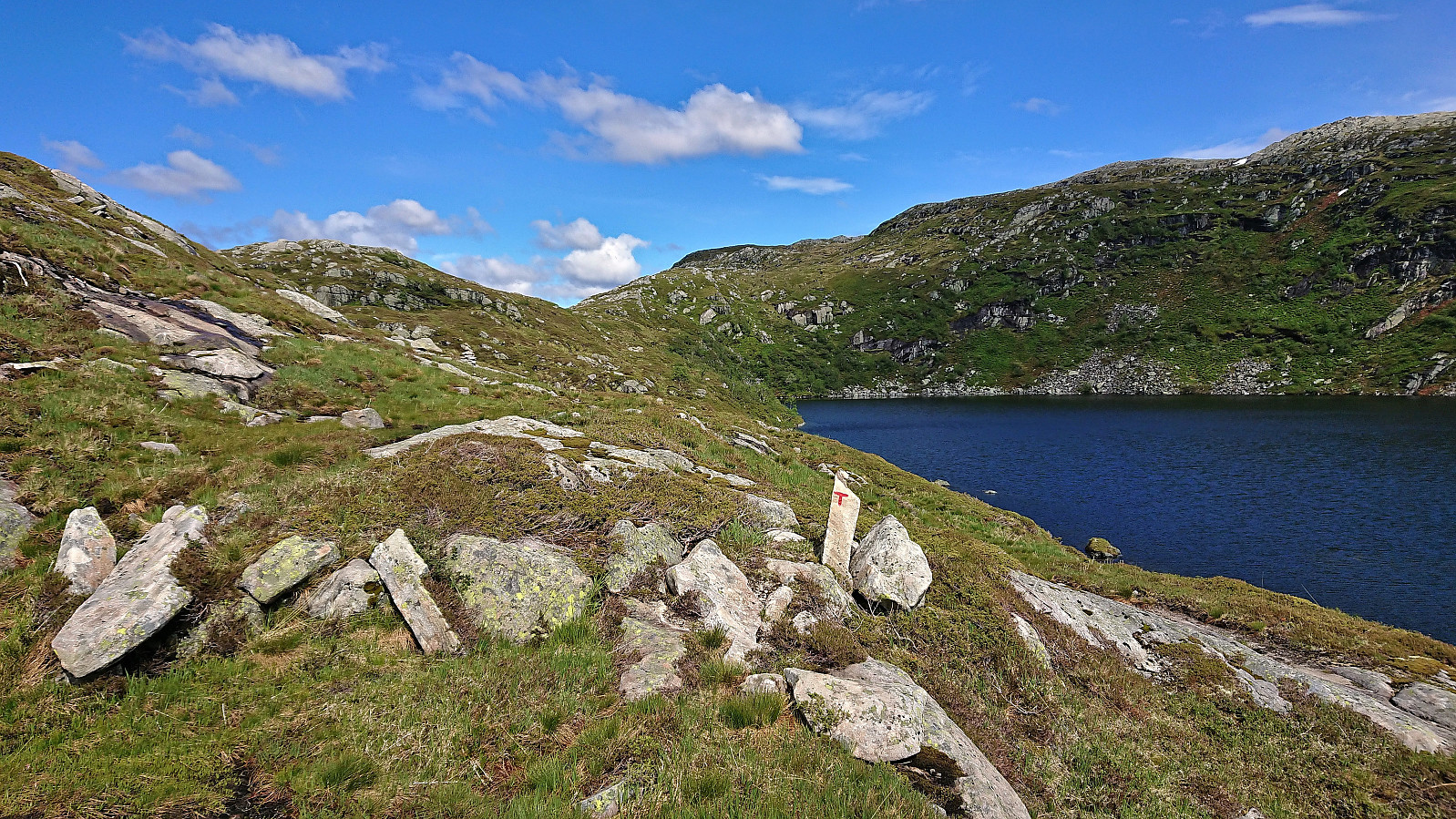
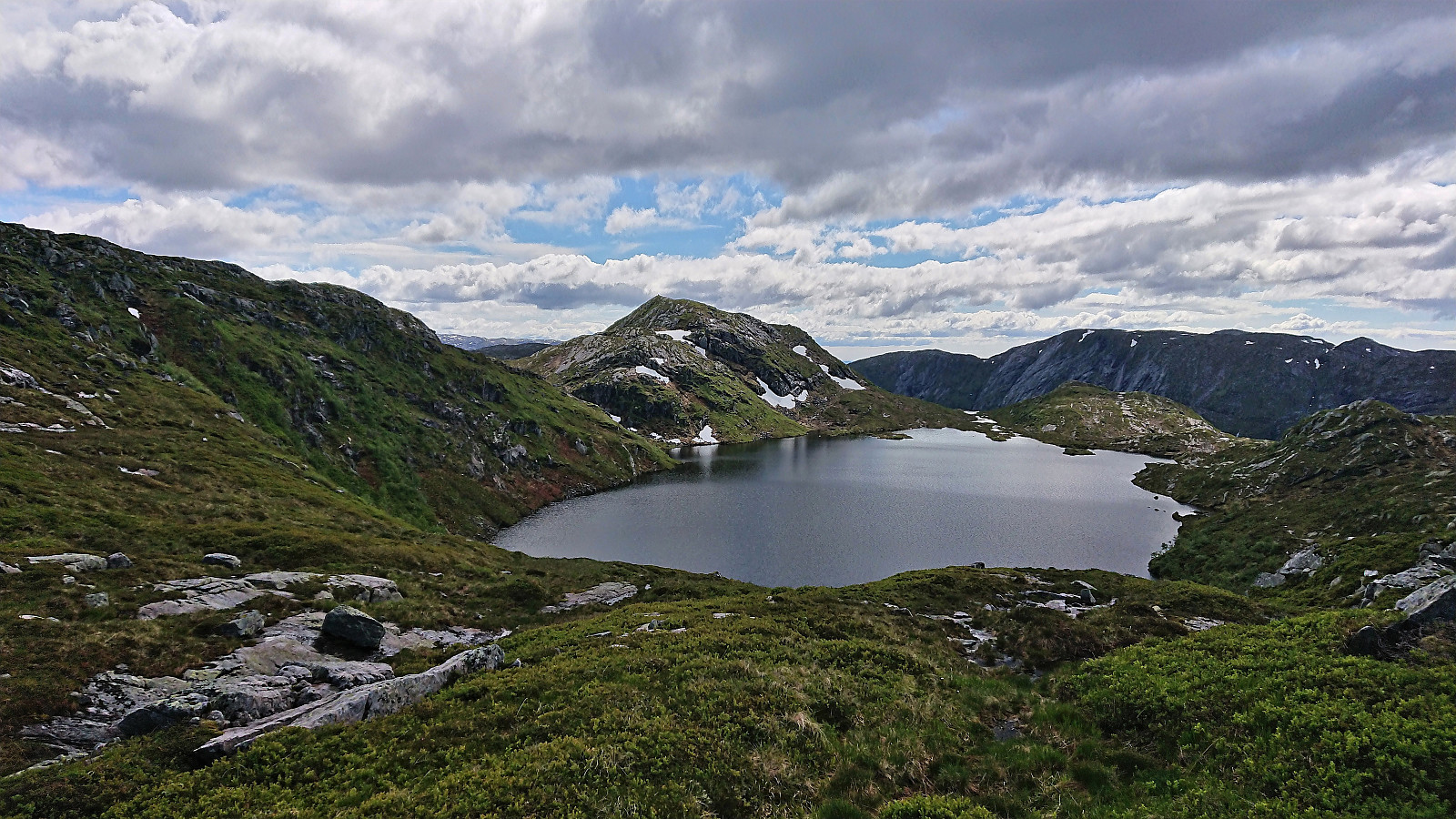
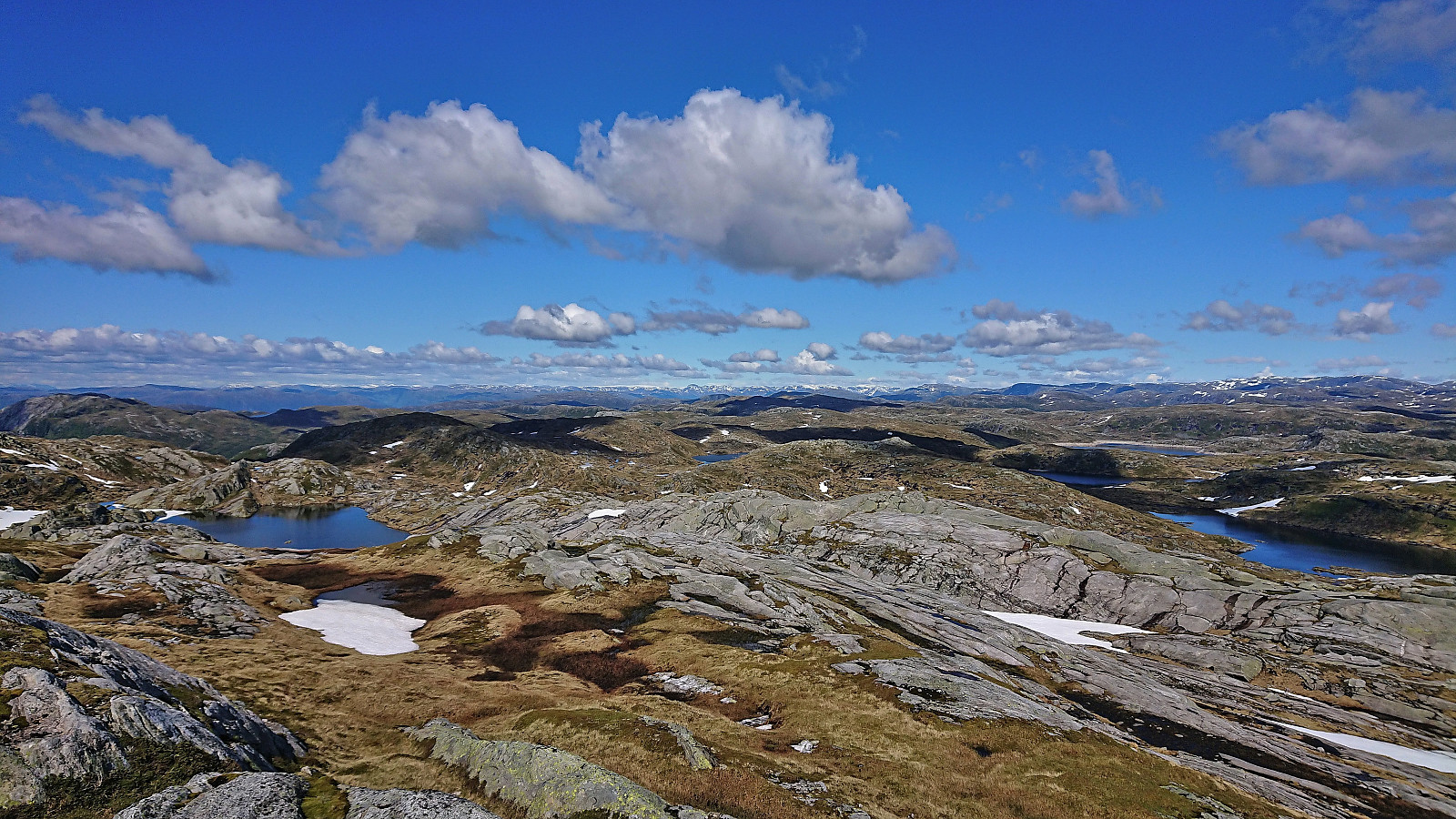
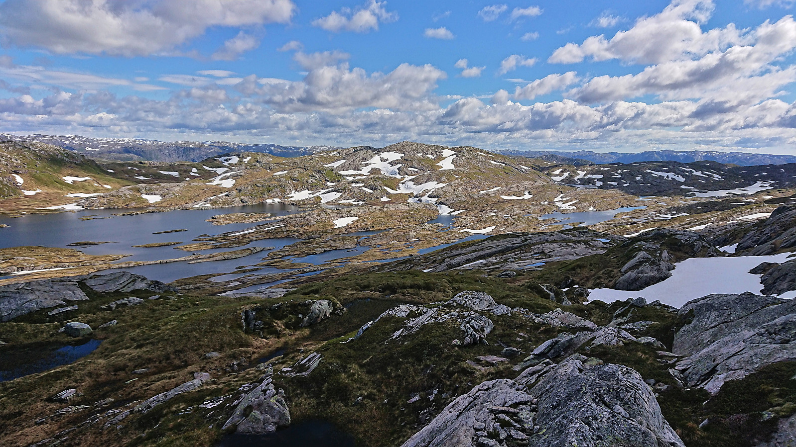
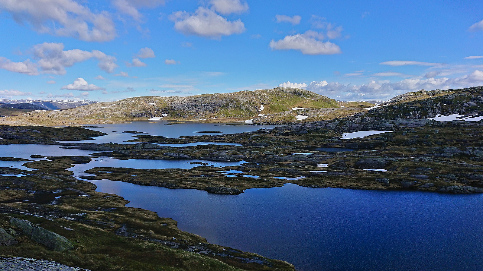
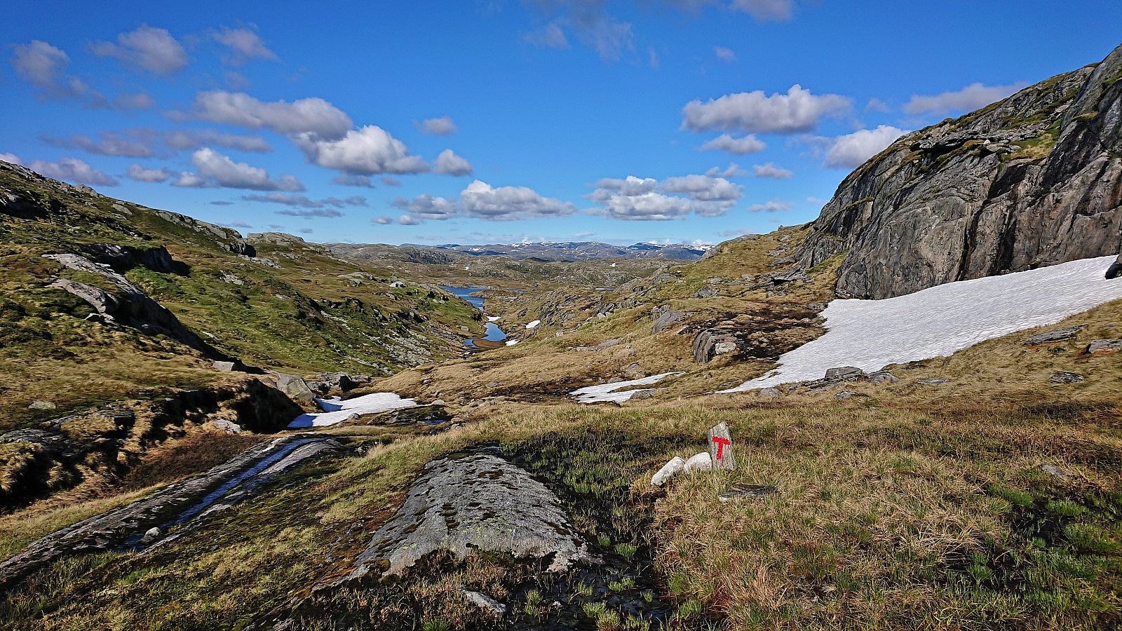
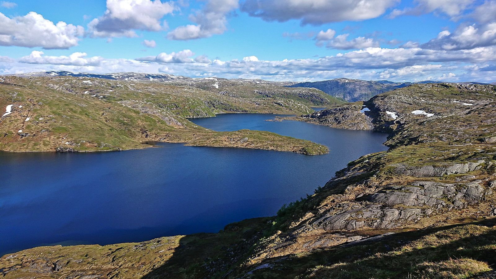
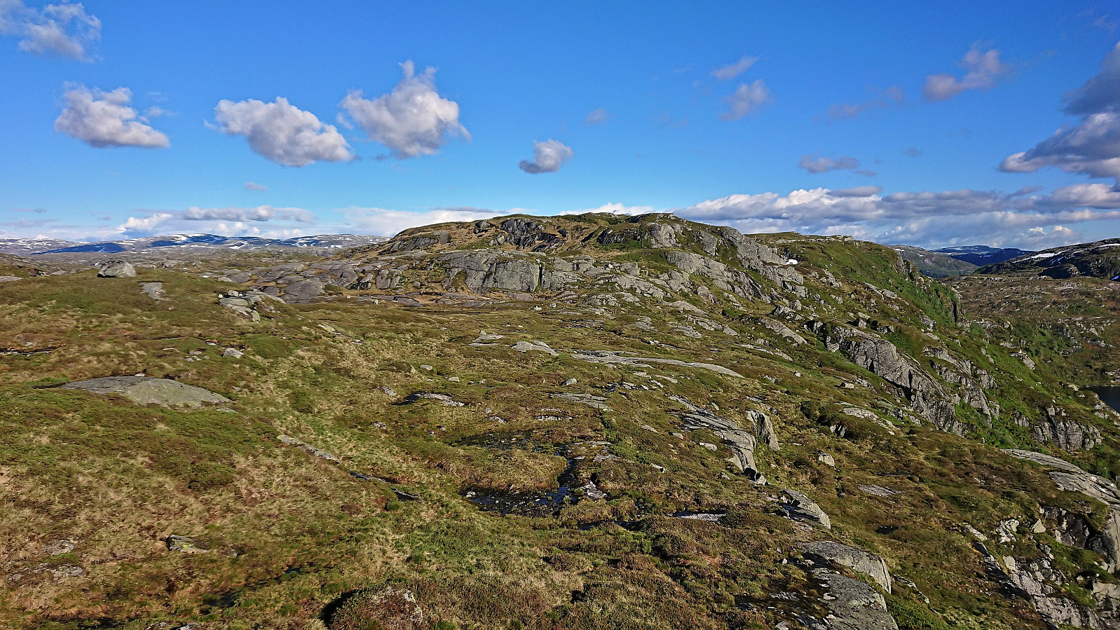
The trail was marked with red T's, and while a bit weak and wet at the start, it was overall straightforward to follow, with especially the final stretch along the stream up to/along the rather incorrectly named Skitdalen was very nice. After passing by Blåfjellvatnet the trail forked, with the trail marked with red T's continuing south and later northeast to Stordalen, while a weaker trail marked with small cairns continued directly southeast to Svadfjellet. I followed the latter and could soon spot the summit in the distance.
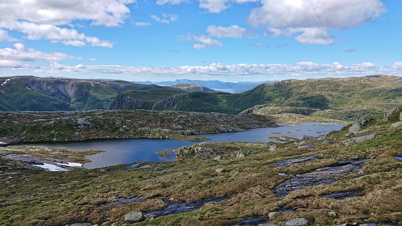
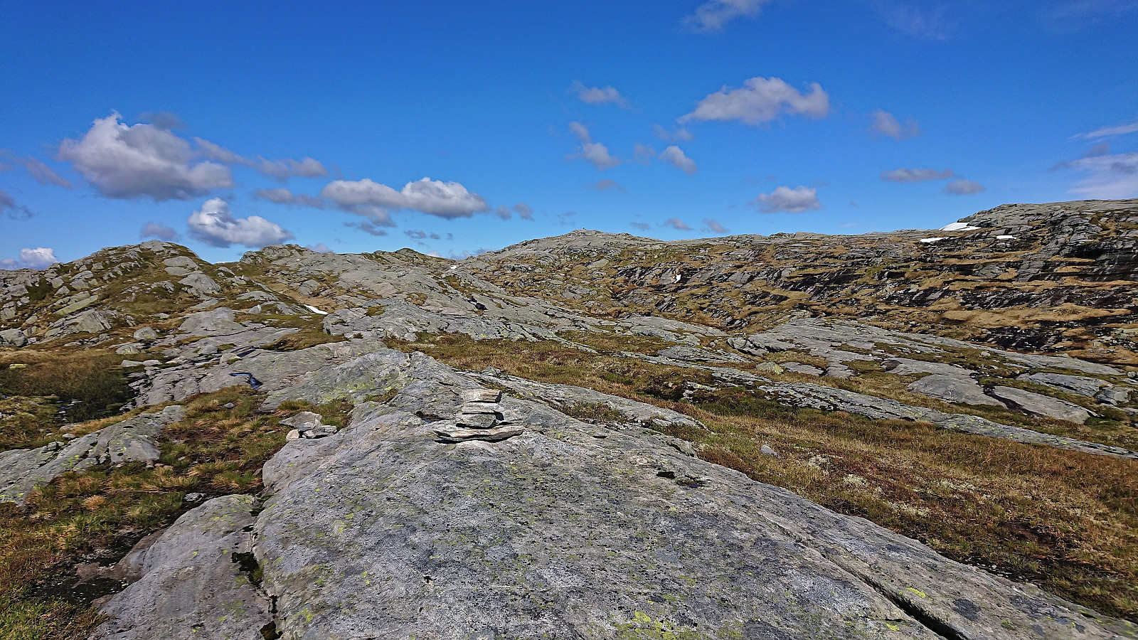
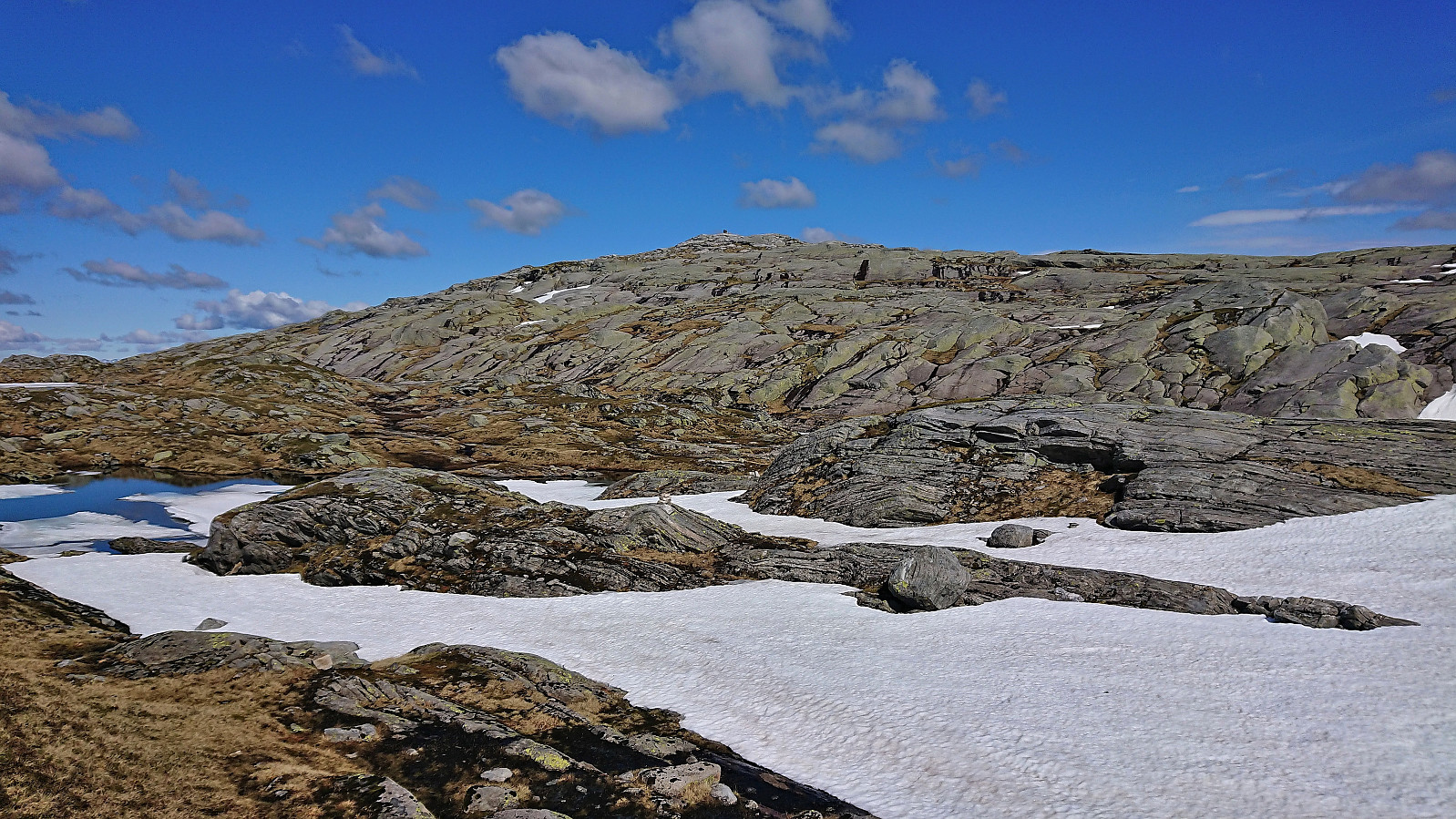
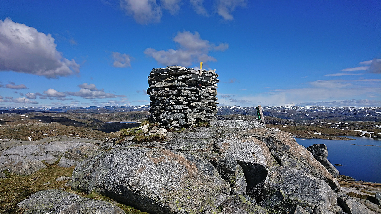
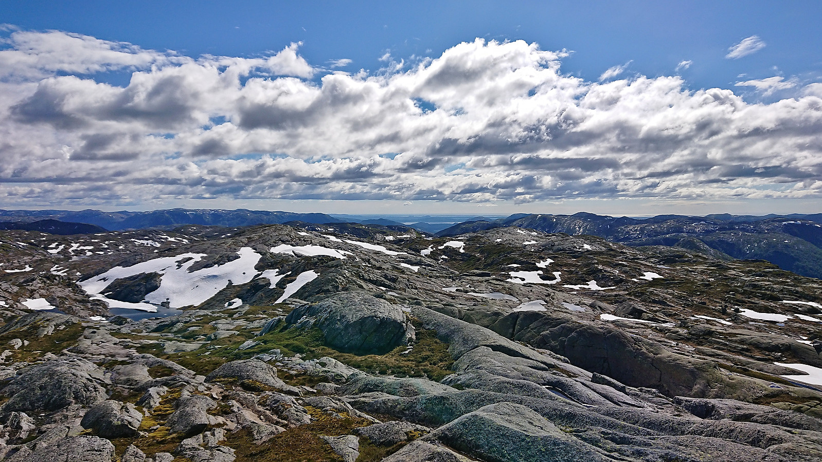
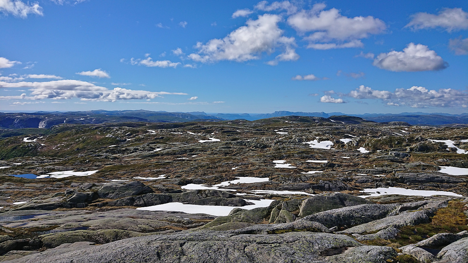
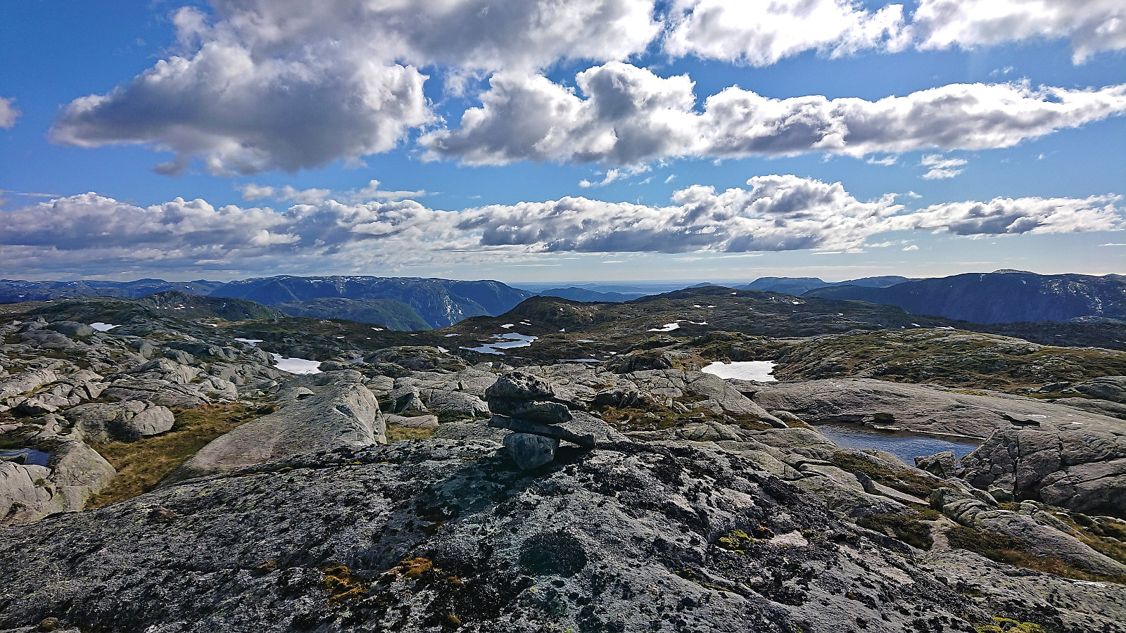
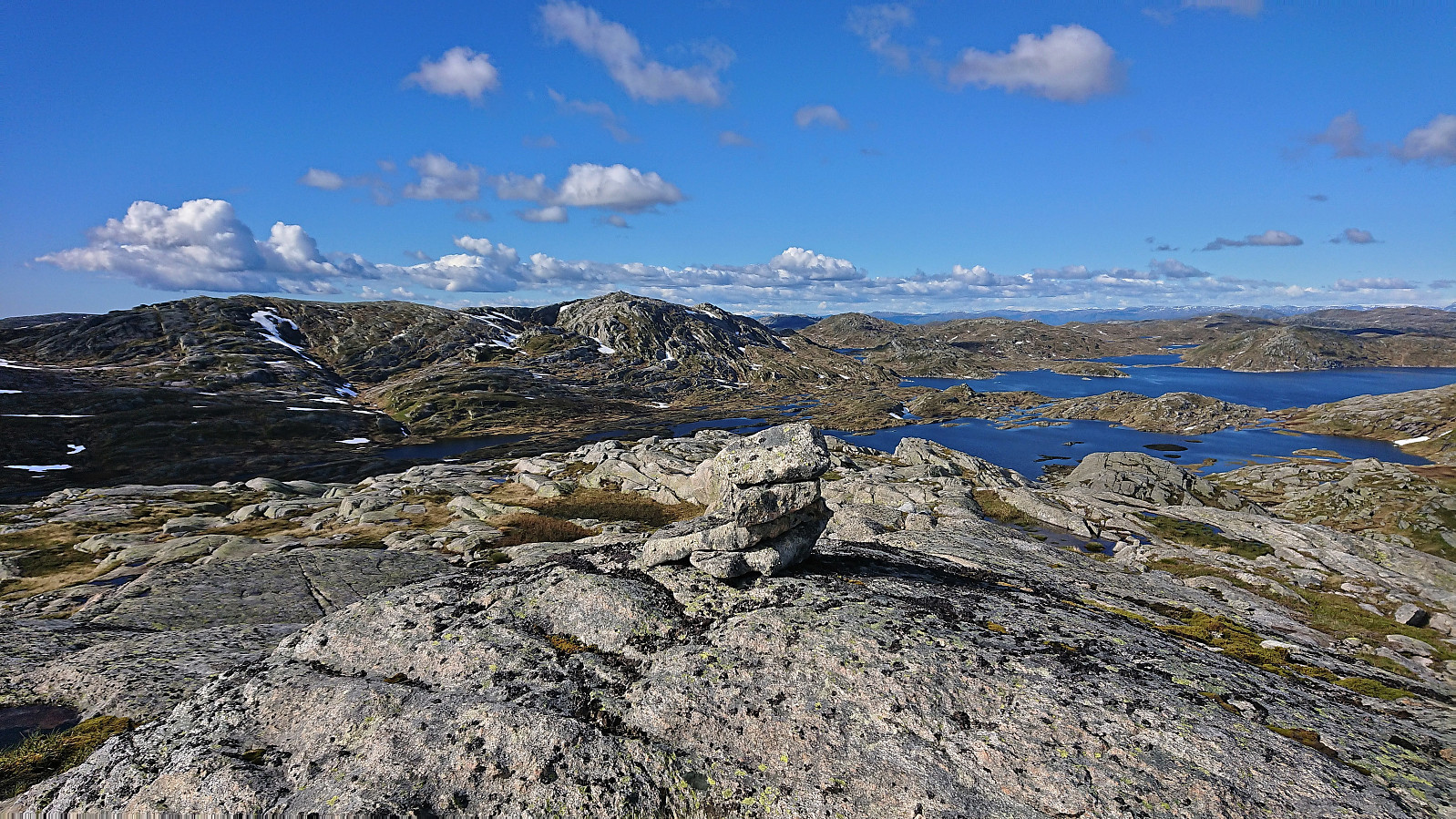
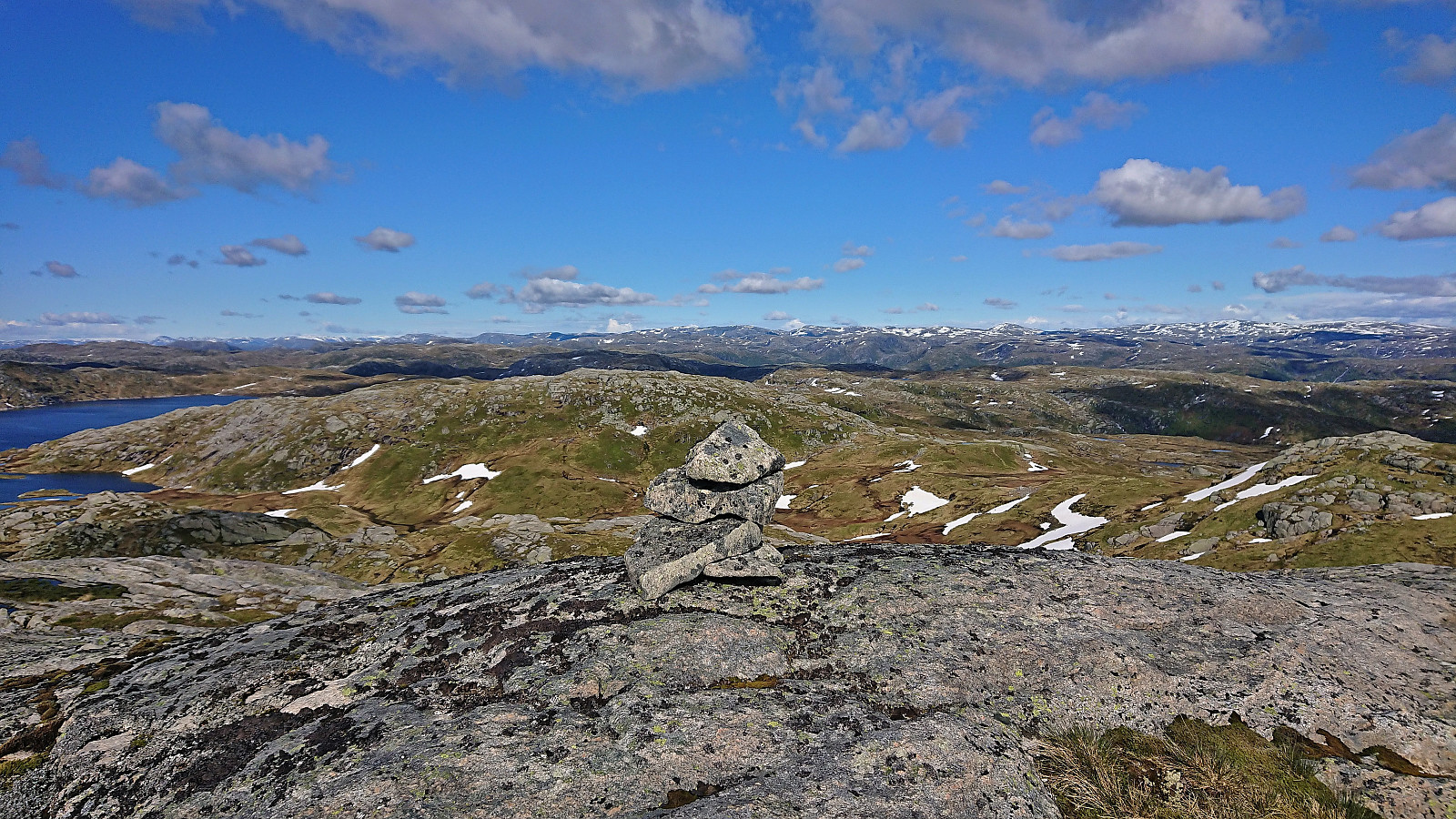
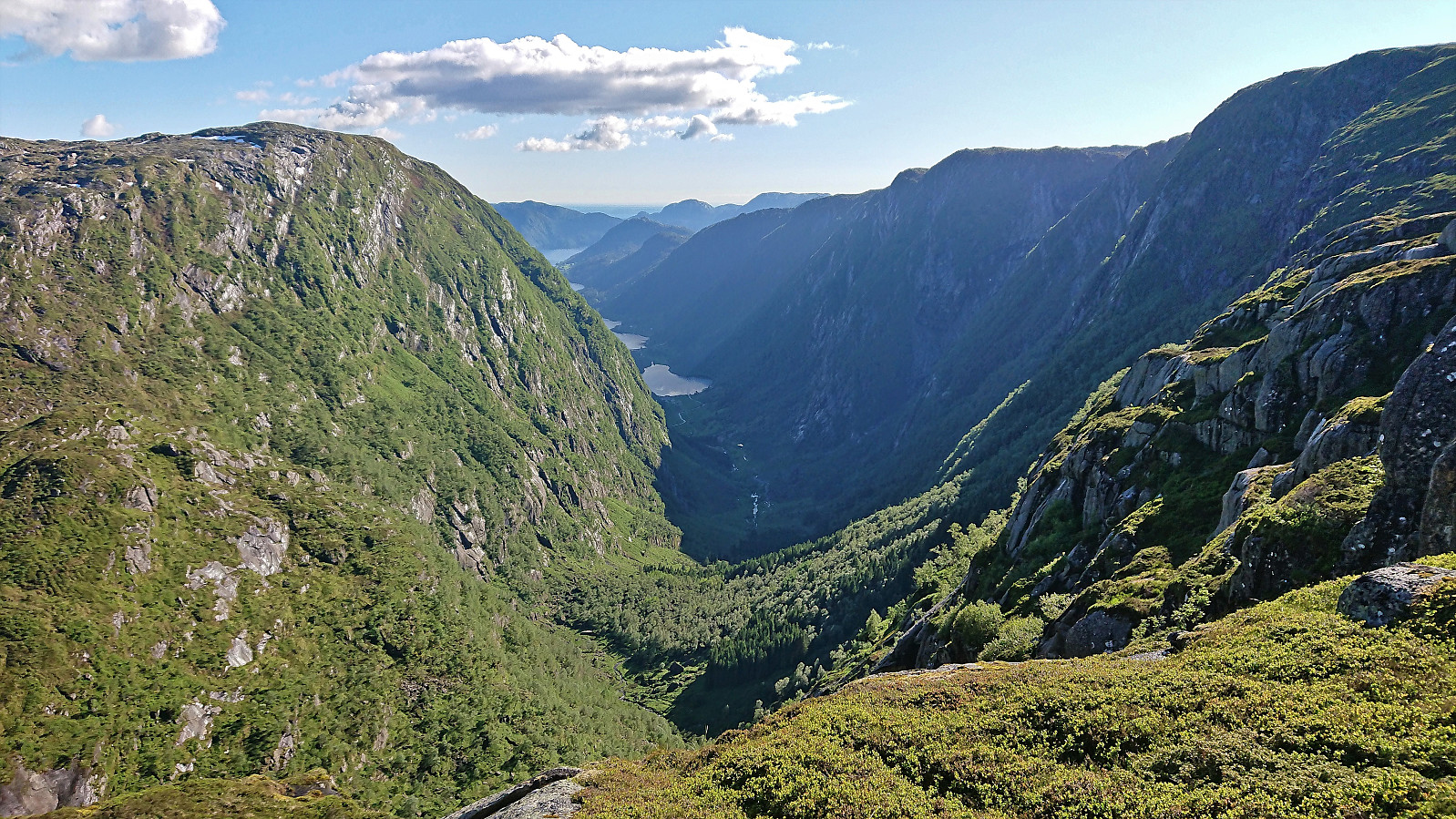
Shortly the summit of Svadfjellet was reached and I could enjoy the excellent panoramic views, where even the start of Sognefjorden could be spotted in the distance. The large cairn provided a great location for my very late lunch break and a shelter from the light breeze. Dukefjellet was also clearly visible to the south and the route towards it did not seem to contain any real challenges as far as I could tell. In fact, getting from Svadfjellet to Dukefjellet was literally straightforward, as indicated by the pretty much straight line I was able to follow between the two summits.
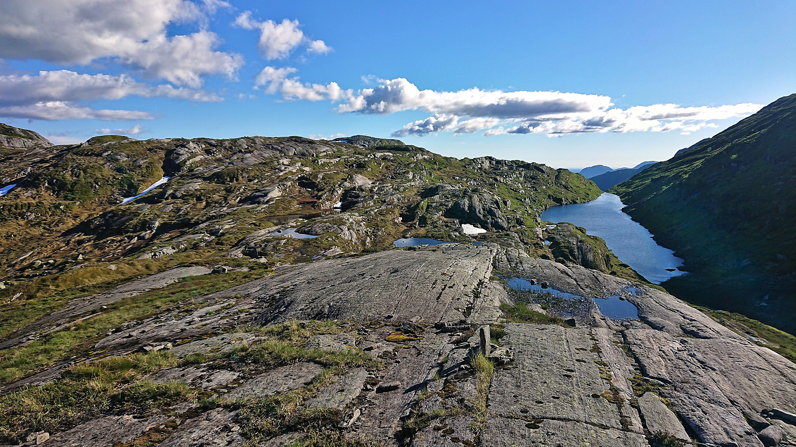
After another short break at Dukefjellet, I continued south to reconnect with the marked trail, again without any issues, which I then proceeded to follow northeast. The plan was now to locate the trail heading down into Hopsdalen that Petter had used for his ascent to Dukefjellet (and for the later descent). However, this was easier said than done, and I ended up heading too far northeast before concluding that either I had missed my exit or the trail was much weaker than I had hoped for.
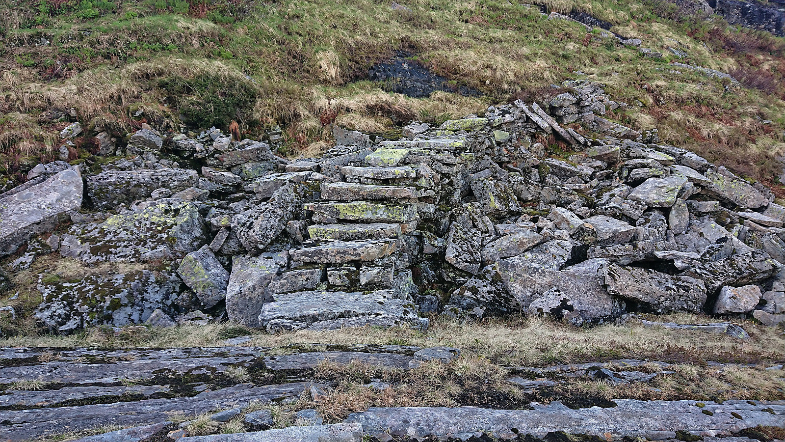
After a bit of searching, I came across something that potentially could be a trail. But it was very weak and unmarked. It was however more or less where the trail was indicated on the map, hence I decided to give it a go. Just as I was about to give up on this being the trail, I came across what was clearly man-made stone steps. Later I also came across a couple of small cairns, but until getting close to Gavlen (which I quickly ascended, but could just as well have skipped) it felt more like off-trail hiking than following a trail.
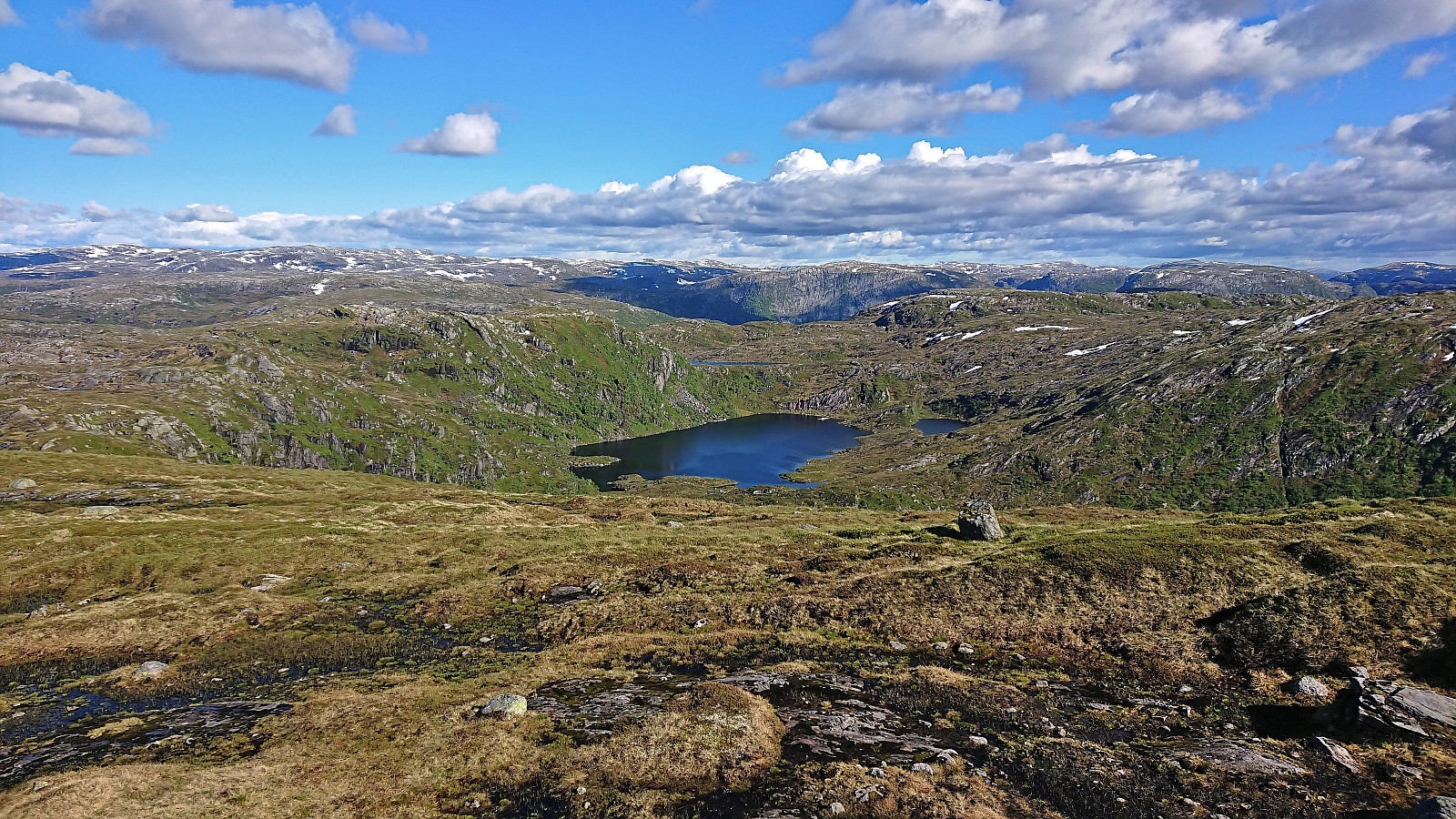
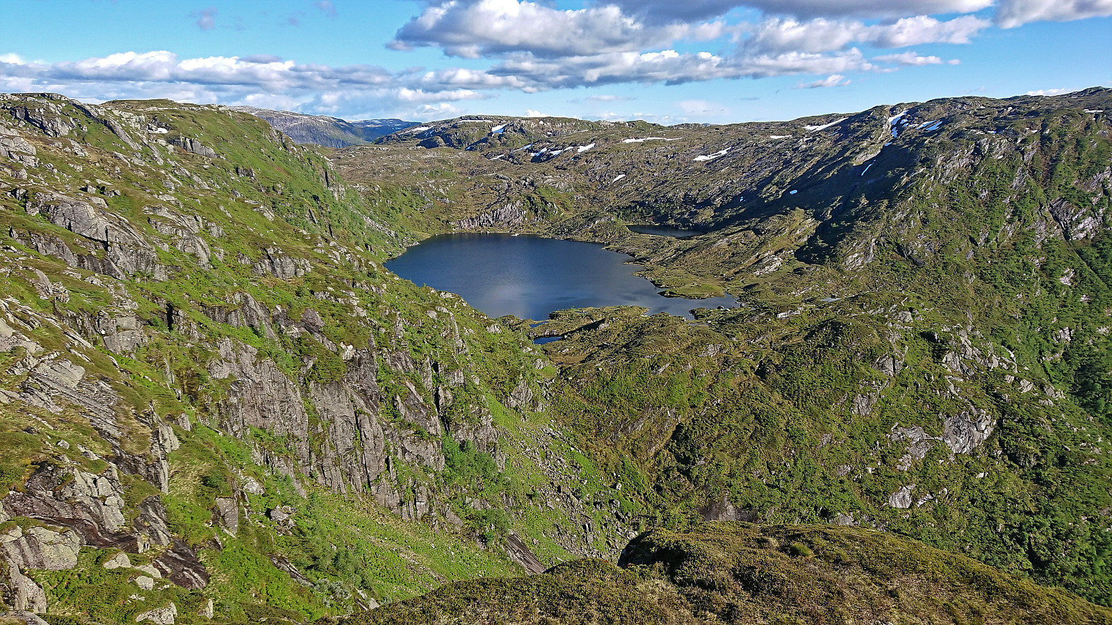
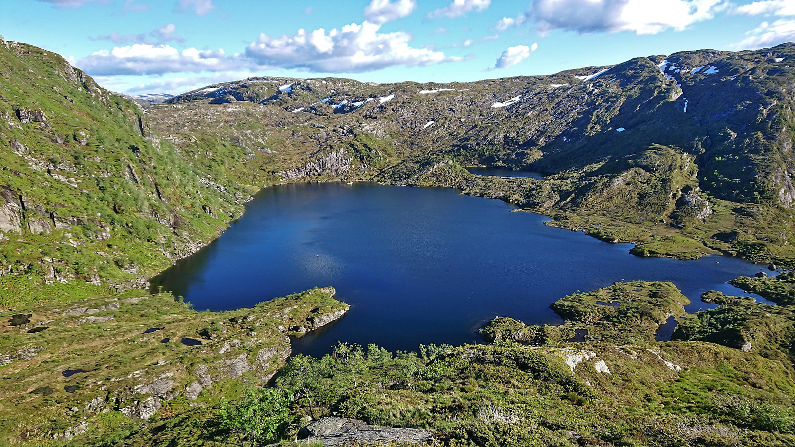
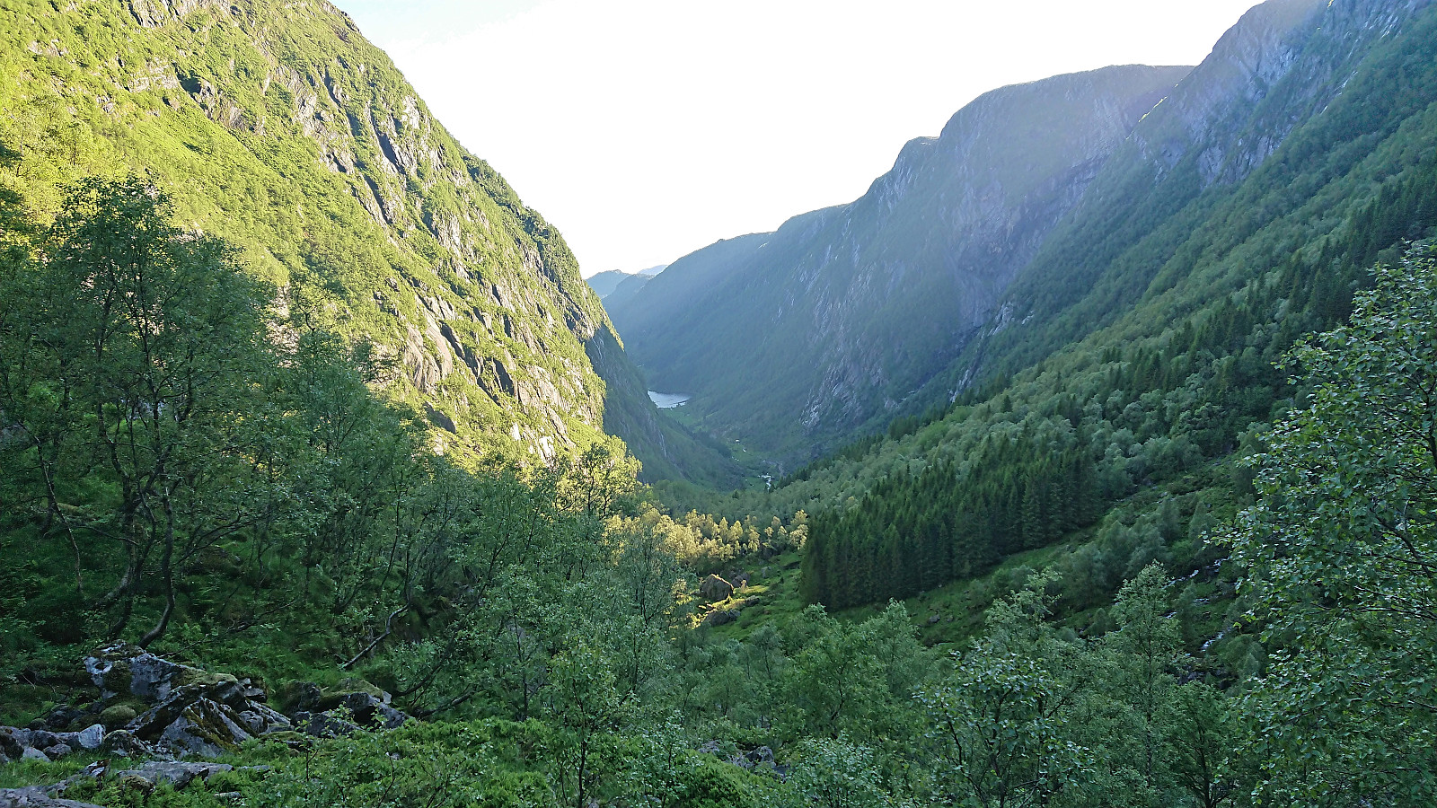
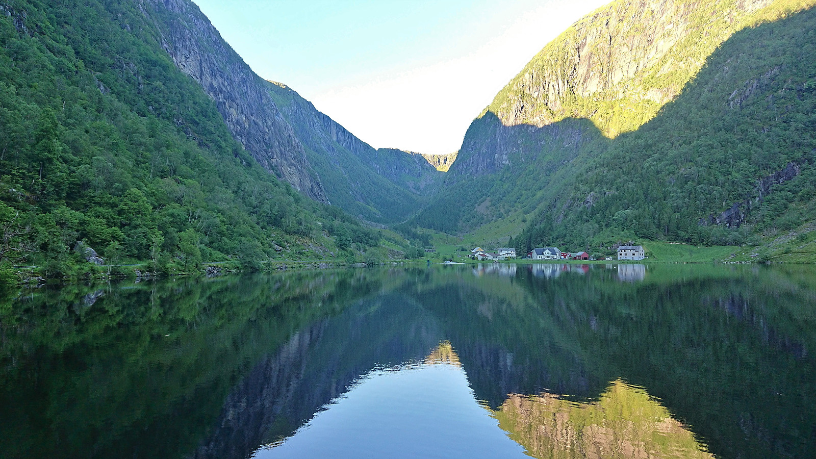
From Gavlen down to Stemmevatnet there was an old weak trail where one had to pay special attention not to lose, and when I later turned north from Stemmevatnet to descend into Hopsdalen the trail shortly disappeared altogether. When the trail reappeared it could however be relatively easily followed, with one or two exceptions, all the way until connecting with the tractor road to Hope. From there, all that was left was to follow the paved roads to Haugsvær for the bus ride back to Bergen.
To conclude, the decision to also include Svadfjellet was definitely a good one and makes for a hike that can be very highly recommended on its own. While getting from Svadfjellet to Dukefjellet is without a trail, it is still straightforward. The same is true for the off-trail shortcut south from Dukefjellet to the marked trail. Descending via Hopsdalen was also very nice, but slightly more advanced as the surrounding terrain is quite steep and the trail rather weak. My memory of this descent is most likely also colored by almost running out of time to catch the bus at Haugsvær. Which I did. Even had five minutes to spare. ;)


| Starttidspunkt | 19.06.2022 14:12 (UTC+01:00 ST) |
| Sluttidspunkt | 19.06.2022 20:59 (UTC+01:00 ST) |
| Totaltid | 6t 46min |
| Bevegelsestid | 5t 43min |
| Pausetid | 1t 03min |
| Snittfart totalt | 3,2km/t |
| Snittfart bevegelsestid | 3,8km/t |
| Distanse | 21,8km |
| Høydemeter | 1132m |


Kommentarer