
Hemningsfjellet from Eikefet (04.05.2019)

Skrevet av hbar (Harald Barsnes)

| Startsted | Eikefet (4moh) |
|---|---|
| Sluttsted | Eikefet (5moh) |
| Turtype | Fjelltur |
| Turlengde | 3t 25min |
| Distanse | 11,5km |
| Høydemeter | 850m |
| GPS |
|
| Bestigninger | Hemningsfjellet (650moh) | 04.05.2019 |
|---|---|---|
| Andre besøkte PBE'er | Eikemosætra (415moh) | 04.05.2019 |
| Sæterbrua (224moh) | 04.05.2019 | |
| Sætre (304moh) | 04.05.2019 |
Hemningsfjellet from Eikefet
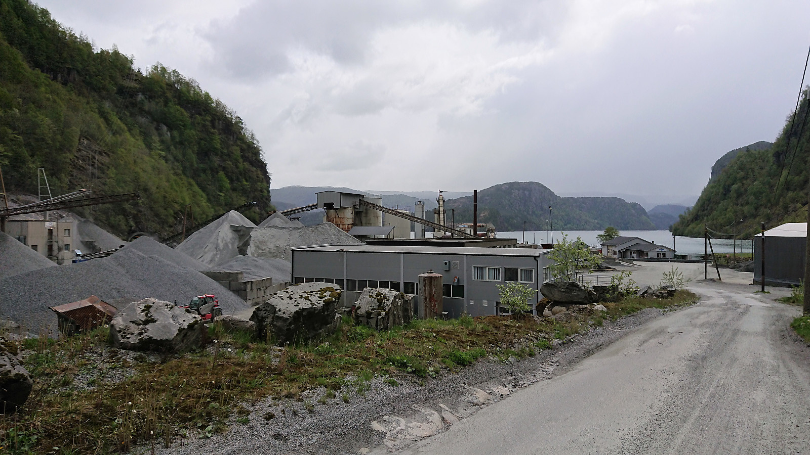
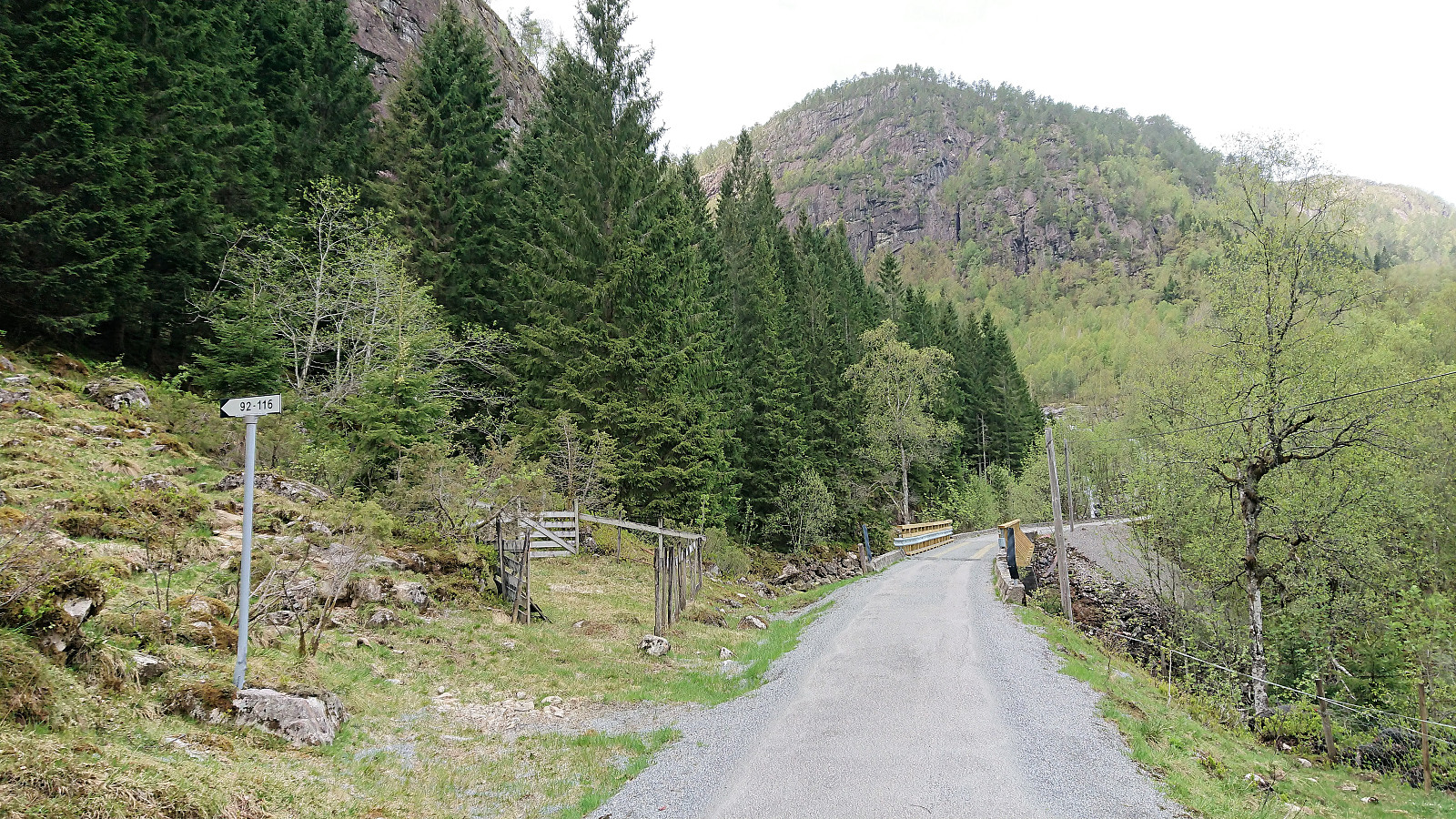
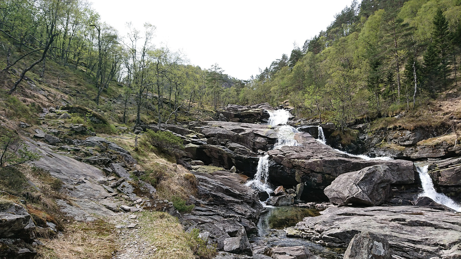
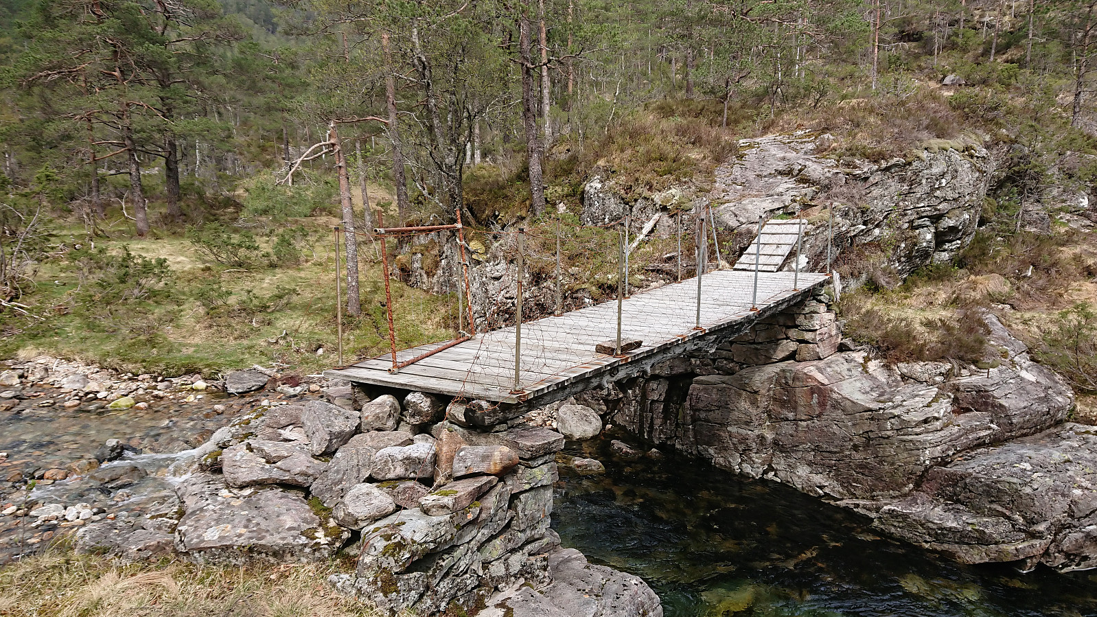
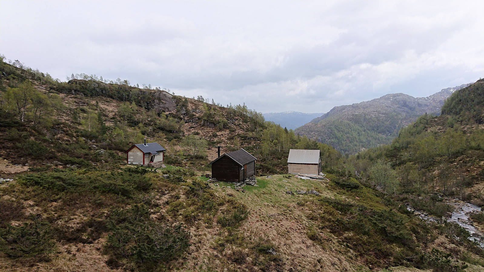
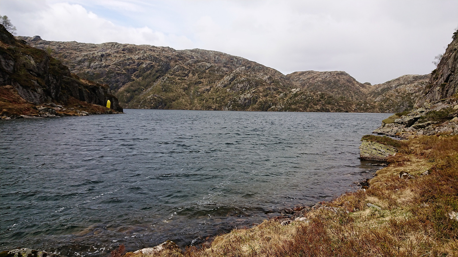
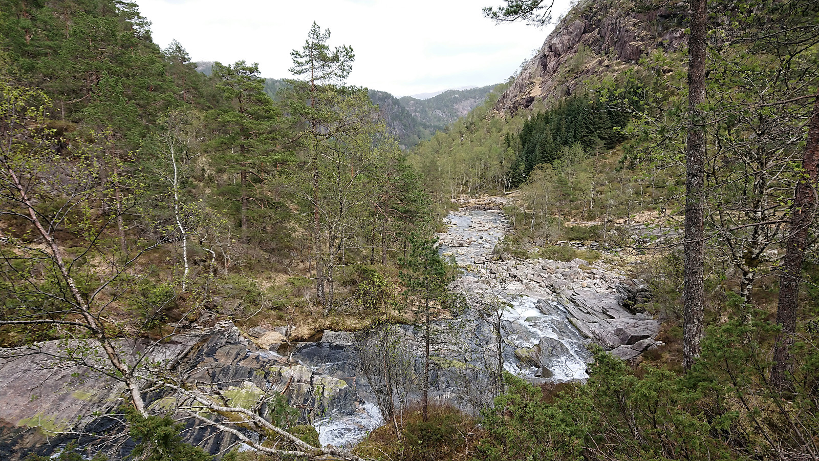
Took the bus to Eikefet and from there followed the road north to Eikemo, where the trailhead was easily located just before the road was about to cross Eikefetelva for a second time. The trail was unmarked but easy to follow and more or less followed the river all the way up to Eikemosætra via Sætre. The bridge used to cross the river, named Sæterbrua, was also of good quality.
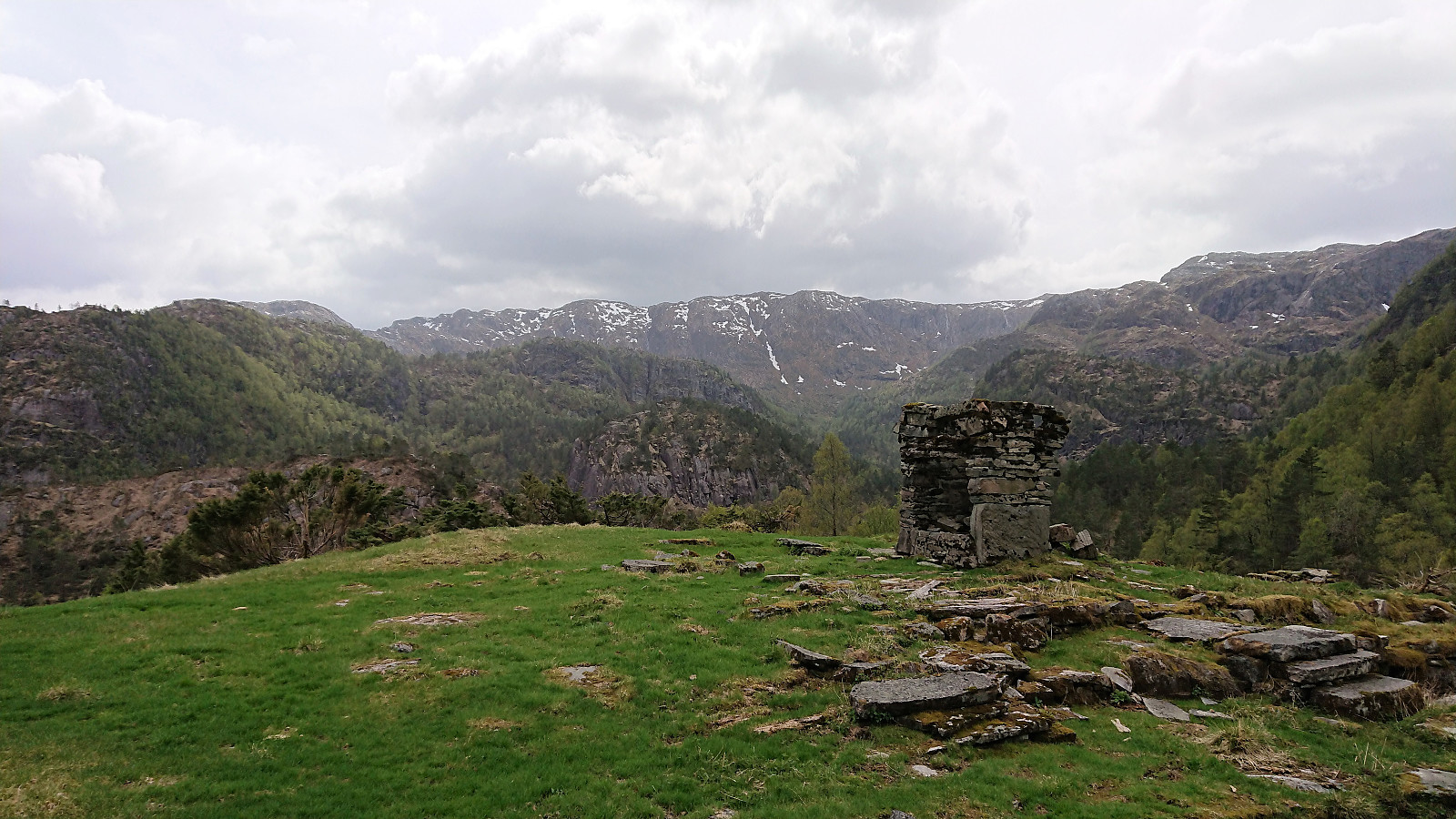
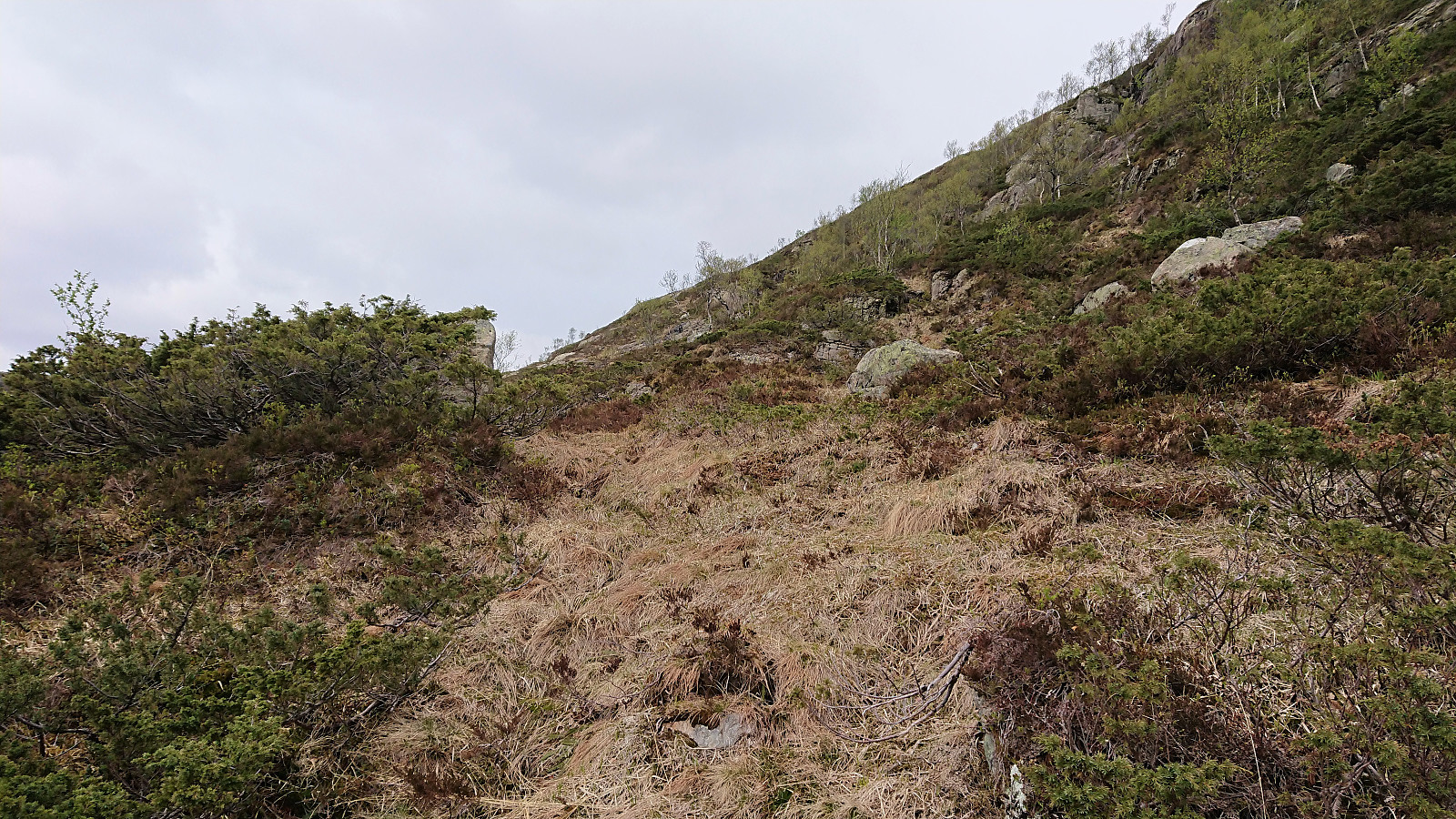
Upon arriving at Eikemosætra, I decided to continue north to Båtevatnet, on the off chance that I'd come across an unknown trail to Hemningsfjellet. But even the trail to Båtevatnet soon turned very weak, and I could not see any trails going east. Heading straight for the summit from Båtevatnet without a trail was not really an option either, as the terrain seemed too steep. I therefore doubled back, getting almost to Eikemosætra, before starting my final ascent to the summit. And while there were a couple of steep areas that had to be avoided, it was overall straightforward to reach the summit, at times it even almost felt like I was following a weak old trail.
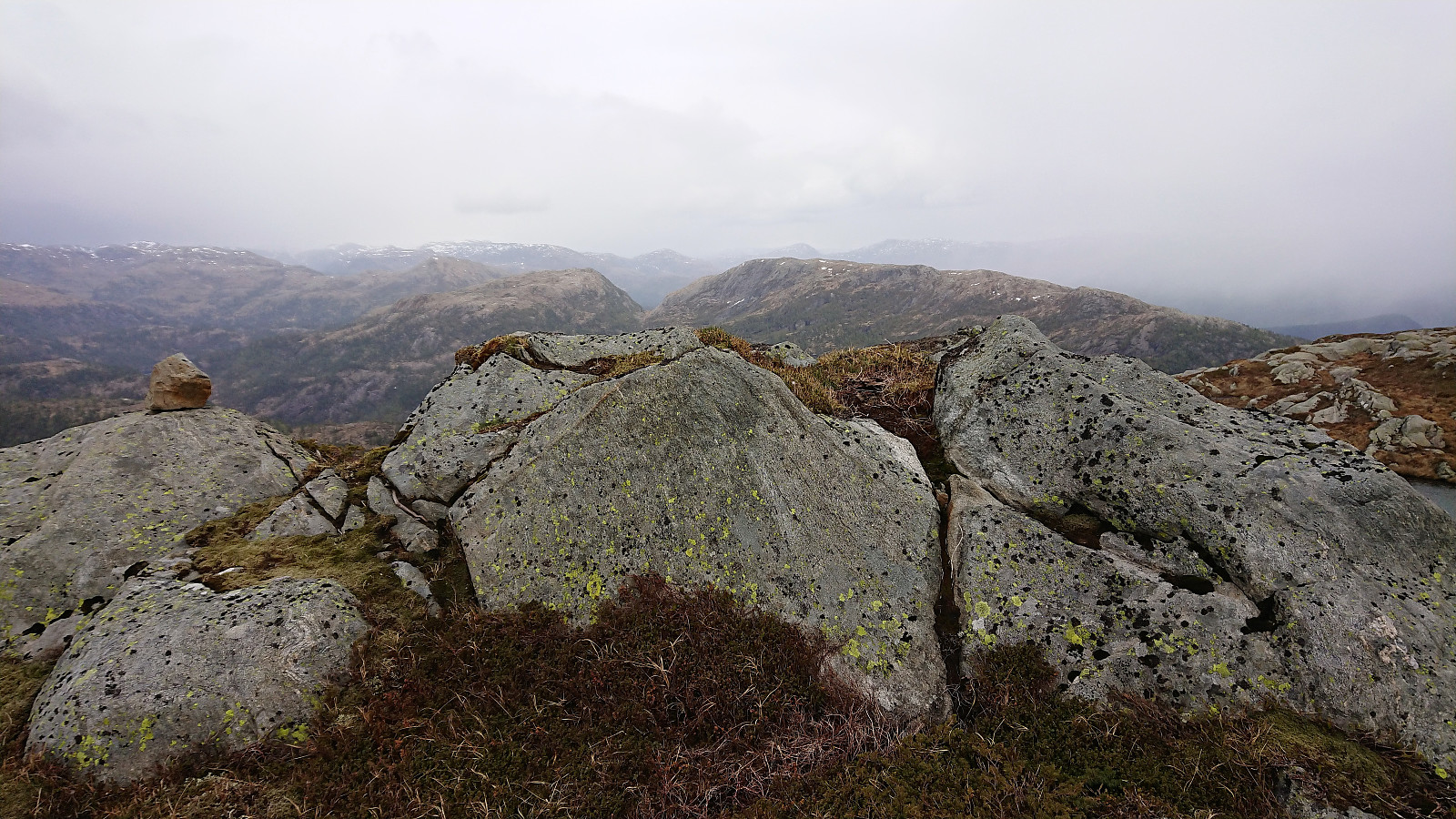
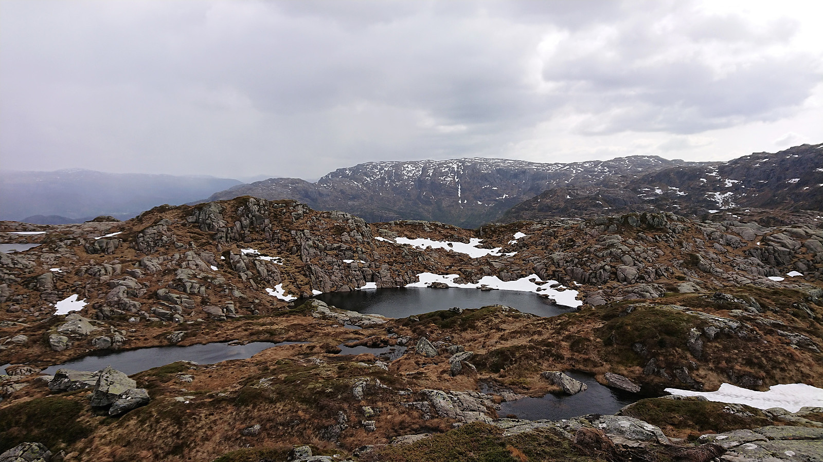
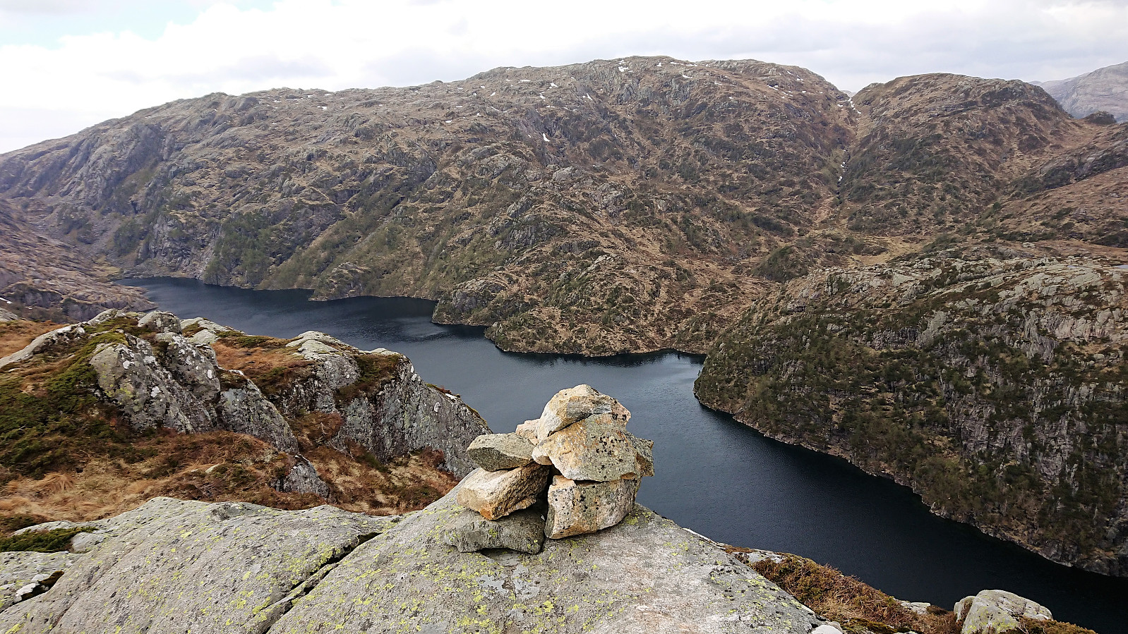
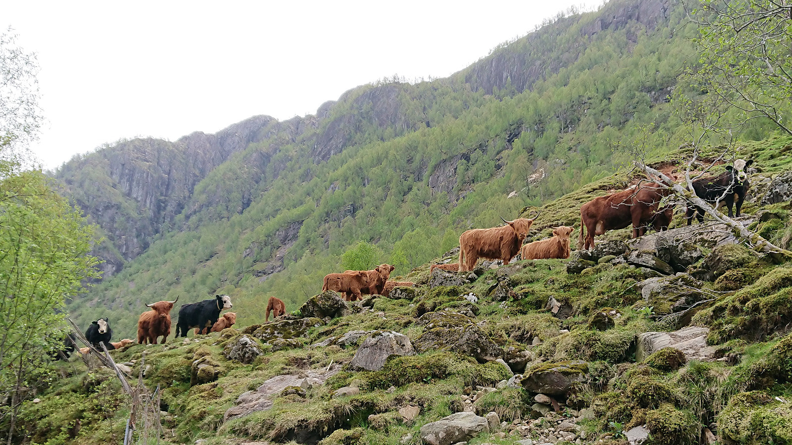
The summit provided nice views, but were today somewhat limited by the gray weather, including some light snow coming down from above. But it was the strong wind that made me cut the visit short. I followed pretty much the same route for the descent, except for the detour to Båtevatnet of course, and within not too long I was back at the road, were I was welcomed by a large audience of cattle just before passing the final gate. All that was left was then the bus ride back to Bergen.
Overall a very nice hike along easy to follow trails, except for the final ascent up from Eikemosætra, that can be highly recommended.


| Starttidspunkt | 04.05.2019 13:38 (UTC+01:00 ST) |
| Sluttidspunkt | 04.05.2019 17:03 (UTC+01:00 ST) |
| Totaltid | 3t 25min |
| Bevegelsestid | 3t 20min |
| Pausetid | 0t 4min |
| Snittfart totalt | 3,4km/t |
| Snittfart bevegelsestid | 3,5km/t |
| Distanse | 11,5km |
| Høydemeter | 849m |


Kommentarer