Arkiv - dato
Arkiv - Etter geografi
"Peakbookvenner"


Lister jeg samler etter
-
Sukkertoppen topper ≥ 100m pf.
(90/112)
 80%
80% -
Møre og Romsdal ≥ 500m pf.
(104/161)
64%
-
Møre og Romsdal kommunetopper
(14/24)
58%
-
Sunnmøre ≥ 100m pf.
(293/531)
55%
-
2000m 30m pf. fastlandet
(99/227)
43%


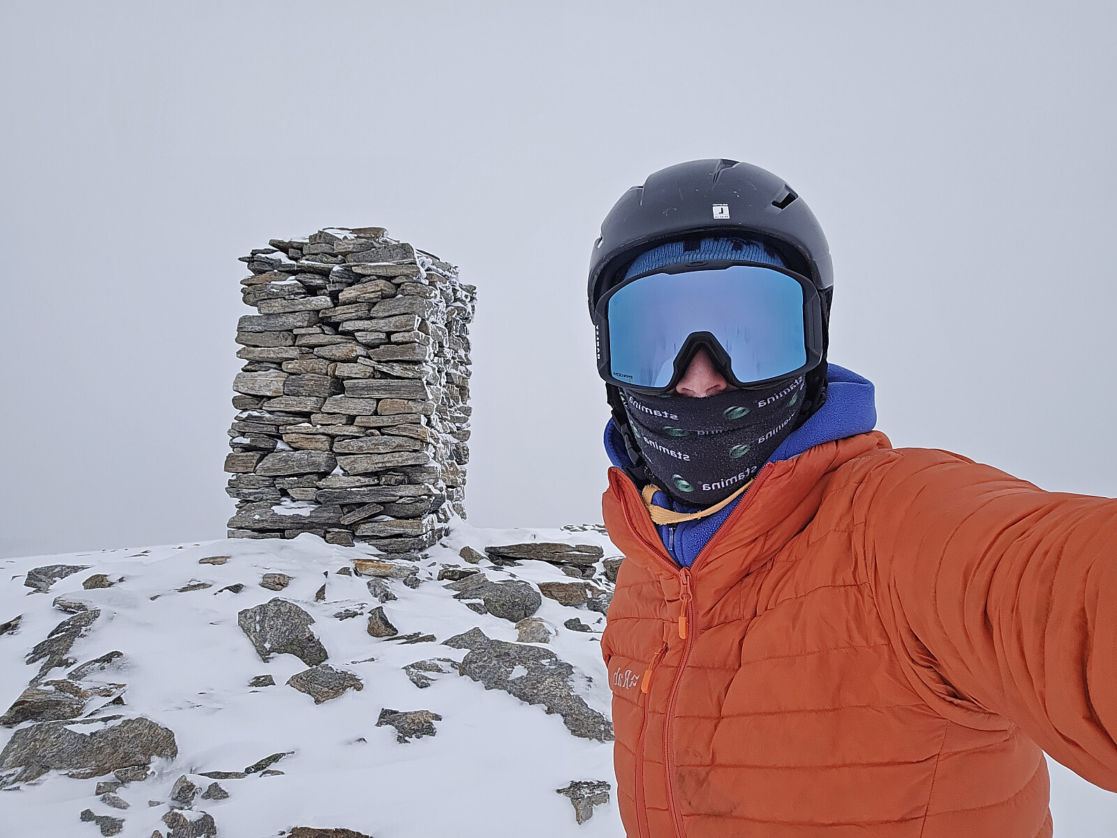
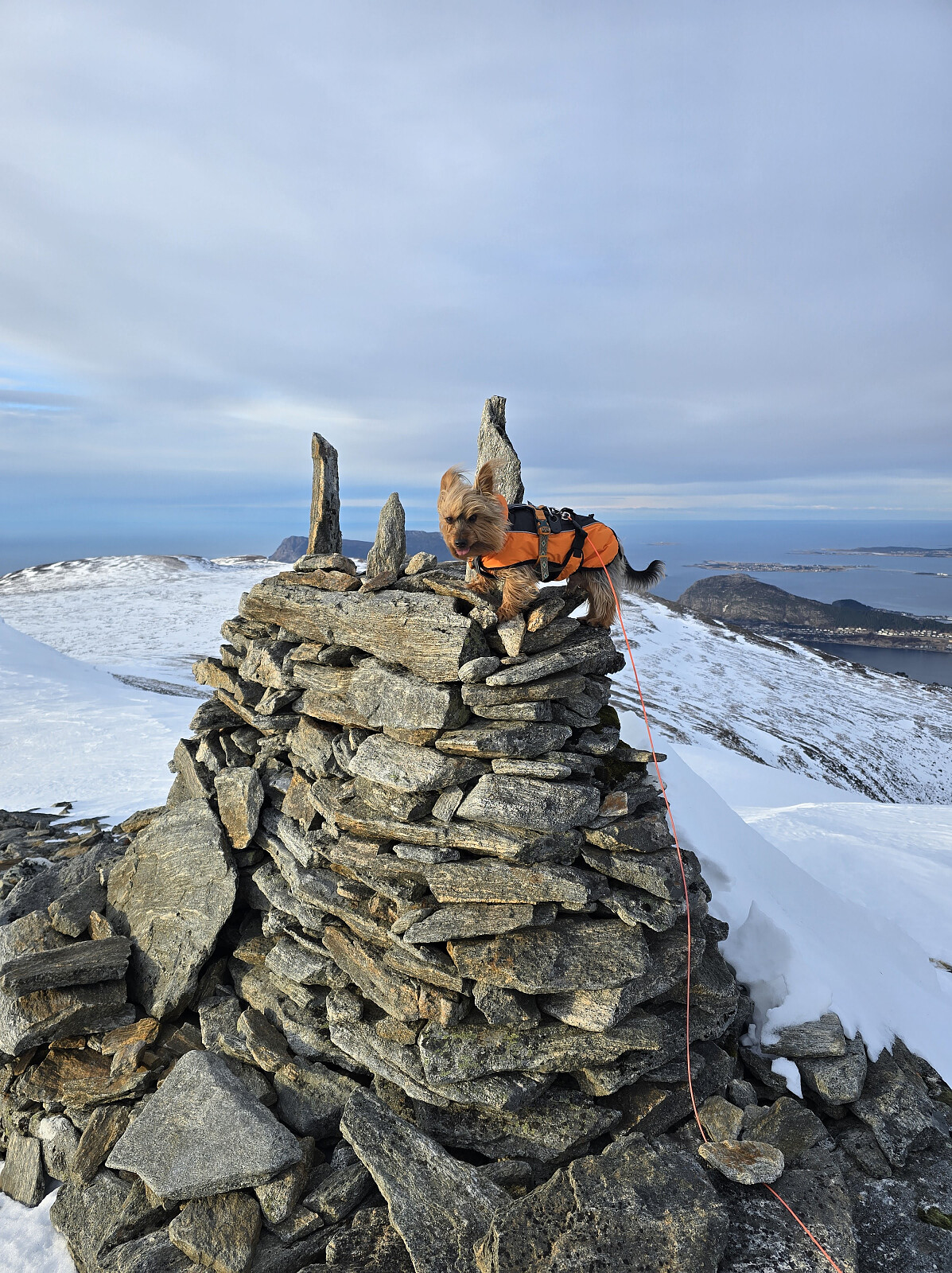
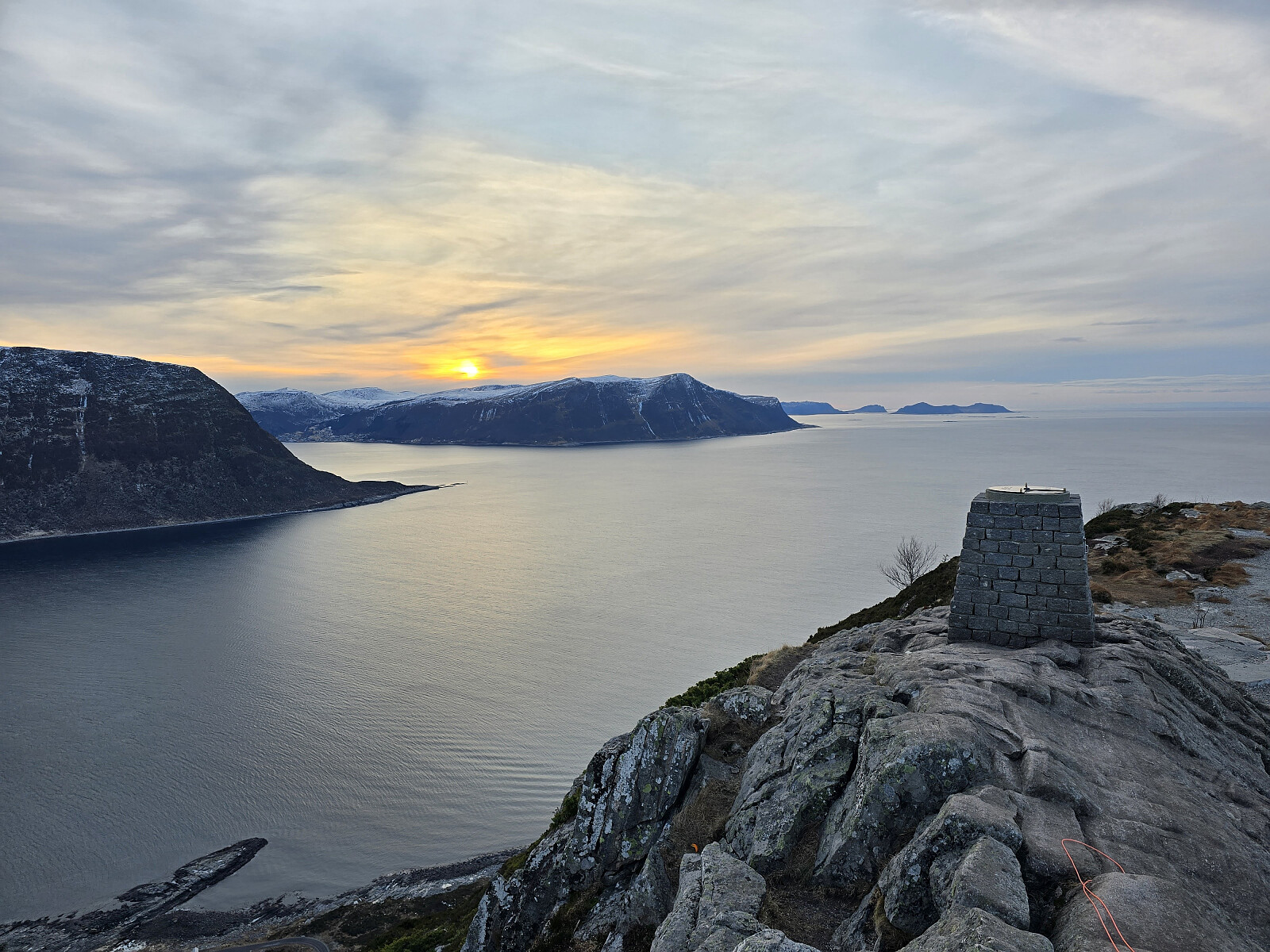
Storhornet
- Dato:
- 13.02.2026
- Turtype:
- Fottur
- Turlengde:
- 1:13t
- Distanse:
- 4,2km
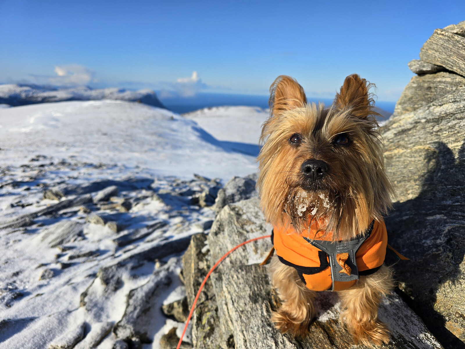
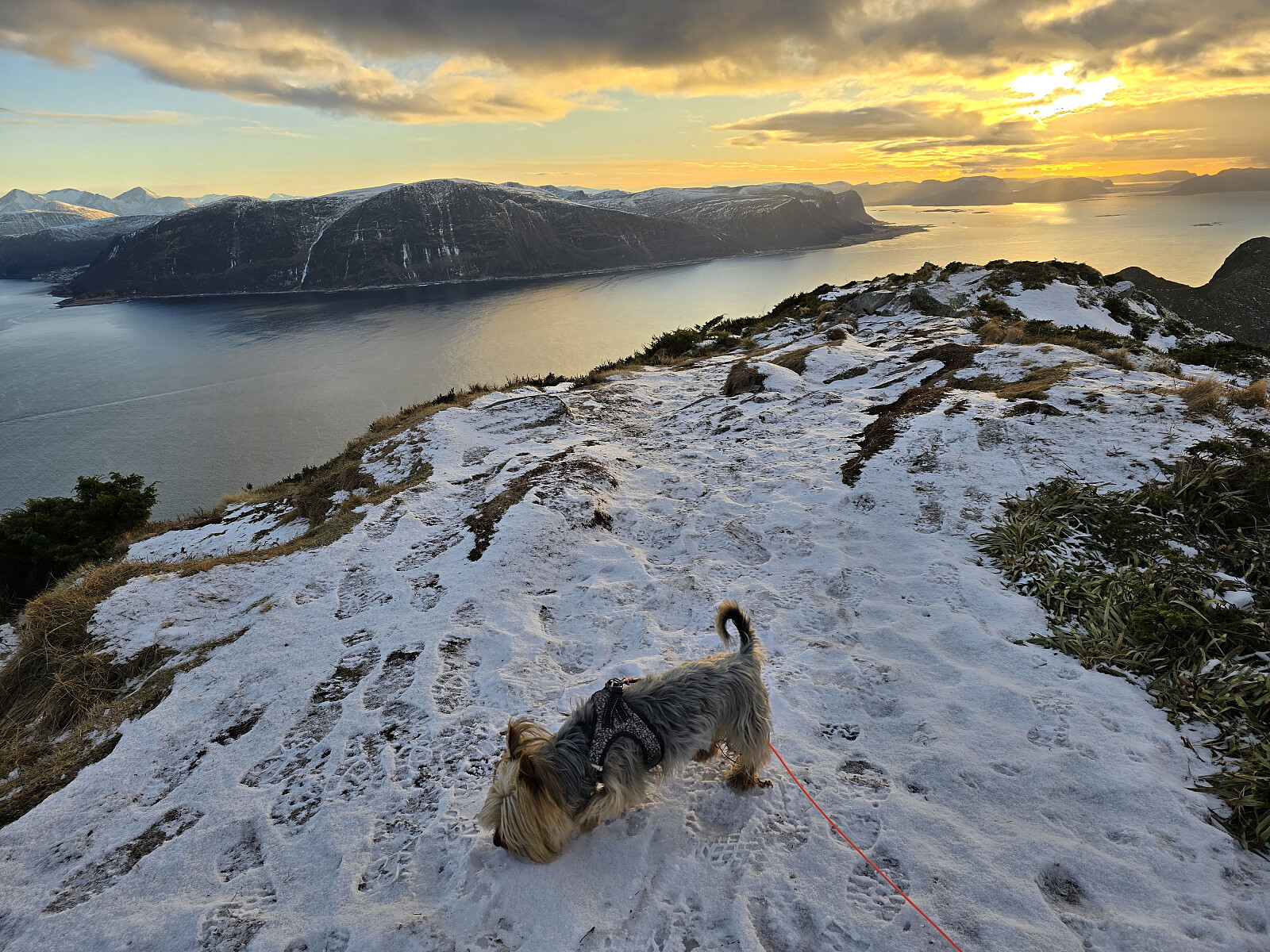 m/Simba.
To uker uten fjellturer pga en kraftig influensa. Fint å komme seg ut på tur igjen :-)
m/Simba.
To uker uten fjellturer pga en kraftig influensa. Fint å komme seg ut på tur igjen :-)