Arkiv - dato
Arkiv - aktivitet
-
Annen tur (3)
- Kajakkpadling (3)
- Fottur (1747)
-
Kjøretur (9)
- Biltur (9)
-
Skitur (109)
- Fjellskitur (65)
- Langrennstur (44)
-
Sykkeltur (107)
- Blandet sykling (25)
- Gatesykling (82)
Lister jeg samler etter
-
Utvalgte topper og turmål i Bergen
(332/333)
 99%
99% -
Alle topper i Bergen
(379/386)
98%
-
Kvam ≥ 100m pf.
(41/44)
93%
-
Opptur Hordaland
(143/159)
89%
-
Voss ≥ 100m pf.
(86/98)
87%
-
Stasjoner på Bergensbanen
(28/36)
77%
-
Hordaland ≥ 100m pf.
(593/863)
68%
-
Ulvik ≥ 100m pf.
(26/38)
68%
-
Jondal ≥ 100m pf.
(15/23)
65%
-
Dagsturhyttene i Vestland
(33/61)
54%
-
Sunnhordland PF >= 100m
(100/186)
53%
-
DNT-hytter i Hordaland
(22/45)
48%
-
Hordaland: Hardanger PF>=100m
(170/359)
47%
-
Kvinnherad ≥ 100m pf.
(36/79)
45%
-
Sogndal ≥ 100m pf.
(23/81)
28%
-
DNT-hytter i Sogn og Fjordane
(8/47)
17%
-
Eidfjord ≥ 100m pf.
(6/42)
14%
-
Etne ≥ 100m pf.
(7/51)
13%
-
Ullensvang ≥ 100m pf.
(19/153)
12%
-
Opptur-topper i Sogn og Fjordane
(17/177)
9%

Byrseteggi from Bjørgum to Gjerdåker
- Dato:
- 24.09.2023
- Turtype:
- Fjelltur
- Turlengde:
- 6:12t
- Distanse:
- 24,6km
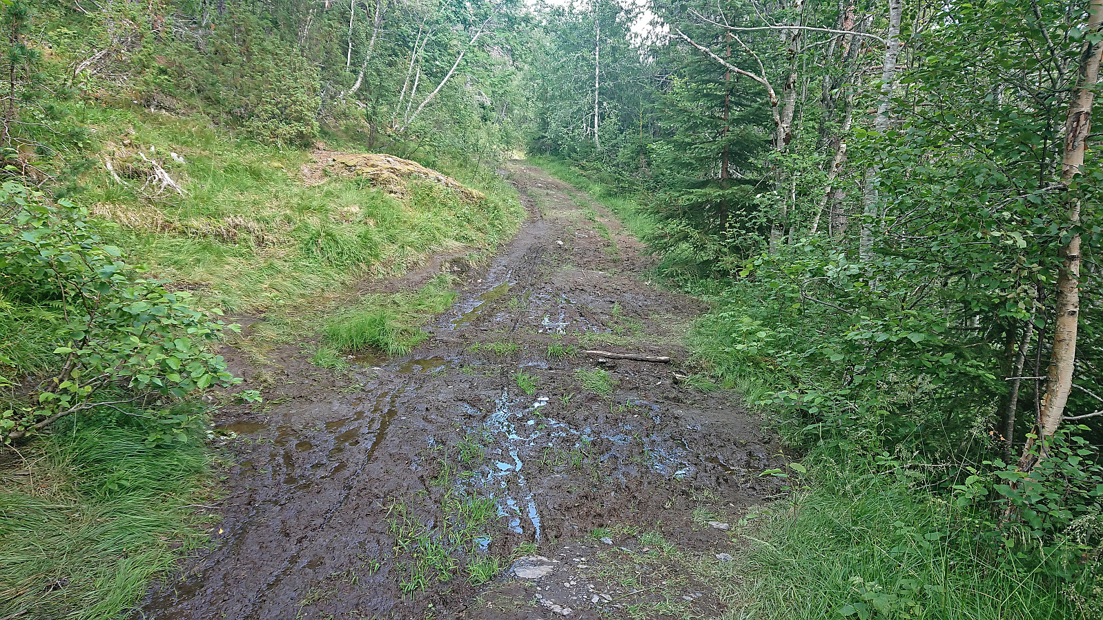
 Started by taking the train to Voss where I switched to bus and continued southeast in the direction of Granvin and getting off at the bus stop called Bjørgum. From there I followed the roads up to Fennastølen for the real start of the hike. The weather had gradually improved during the ascent, such that when I started the final off-trail ascent to Byrseteggi most of the clouds had disappeared and I could fully enjoy the beautiful fall colors.
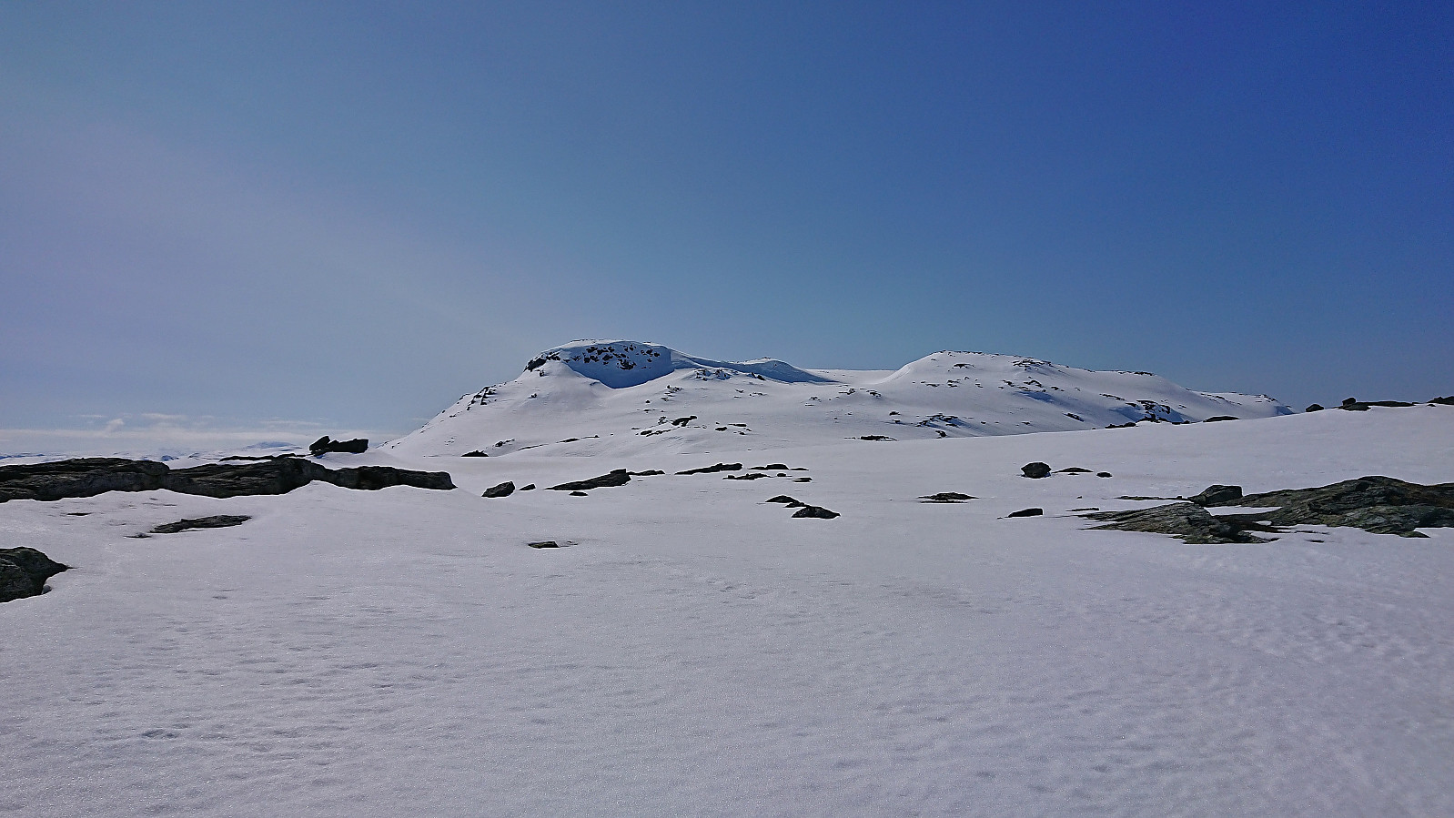
The map indicated a trail heading north from Fennastølen but I failed to find any traces of such a trail. However, the final ascent was still straightforward and it did not take long before I arrived at the summit of Byrseteggi. It provided excellent panoramic views, and a great overview of Horndalsnuten and the rest of Raundalsryggen to the northeast/east. Even though the >>>
Started by taking the train to Voss where I switched to bus and continued southeast in the direction of Granvin and getting off at the bus stop called Bjørgum. From there I followed the roads up to Fennastølen for the real start of the hike. The weather had gradually improved during the ascent, such that when I started the final off-trail ascent to Byrseteggi most of the clouds had disappeared and I could fully enjoy the beautiful fall colors.
The map indicated a trail heading north from Fennastølen but I failed to find any traces of such a trail. However, the final ascent was still straightforward and it did not take long before I arrived at the summit of Byrseteggi. It provided excellent panoramic views, and a great overview of Horndalsnuten and the rest of Raundalsryggen to the northeast/east. Even though the >>>
Raundalsryggen from Reimegrend to Øyeflaten
- Dato:
- 02.09.2023
- Turtype:
- Fjelltur
- Turlengde:
- 10:14t
- Distanse:
- 30,4km
 Started by taking the train to Reimegrend and after safely crossing to the south side of the railroad tracks I followed the river east, first off-trail and then on a little used path that included a small wooden bridge. Just after the bridge I turned south towards the river along a trail which I thought would bring me to the bridge across Raundalselvi . This trail however pretty much came to an end at a small island northwest of the bridge and I had to find my own way to the bridge from there. Thankfully, the water level in the river was not very high and I managed to leave the island and get to the bridge without getting wet.
After crossing the bridge I followed a trail southeast to Vetlaheggstølen and Mysedalen. While walking along the river was nice, the trail was clearly not very frequently used and disappeared several times. From Vetlaheggstølen >>>
Started by taking the train to Reimegrend and after safely crossing to the south side of the railroad tracks I followed the river east, first off-trail and then on a little used path that included a small wooden bridge. Just after the bridge I turned south towards the river along a trail which I thought would bring me to the bridge across Raundalselvi . This trail however pretty much came to an end at a small island northwest of the bridge and I had to find my own way to the bridge from there. Thankfully, the water level in the river was not very high and I managed to leave the island and get to the bridge without getting wet.
After crossing the bridge I followed a trail southeast to Vetlaheggstølen and Mysedalen. While walking along the river was nice, the trail was clearly not very frequently used and disappeared several times. From Vetlaheggstølen >>>
Hamlagrøvatnet to Norheimsund
- Dato:
- 18.08.2023
- Turtype:
- Fjelltur
- Turlengde:
- 8:37t
- Distanse:
- 29,6km
 Given the excellent weather forecast I took the Friday off to try one of my more ambitious hiking plans: walking from Hamlagrøvatnet in Bergsdalen to Steinsdalsfossen in Norheimsund. The main goal was to visit the three remaining summits I had left along this route.
I started by taking the train to Dale and the bus to the western end of Hamlagrøvatnet. Officially the last bus stop was at Rødland/Røydland, but given that the bus driver had plenty of time before the return journey to Dale he was kind enough to drive me all the way to the lake, saving me about half an hour of walking along the road.
From Hamlagrøosen I basically followed the marked trail to Vending . However, when the trail entered Langagjelet, and was about to ascend the final small hill before descending to the cabin, I turned northwest >>>
Given the excellent weather forecast I took the Friday off to try one of my more ambitious hiking plans: walking from Hamlagrøvatnet in Bergsdalen to Steinsdalsfossen in Norheimsund. The main goal was to visit the three remaining summits I had left along this route.
I started by taking the train to Dale and the bus to the western end of Hamlagrøvatnet. Officially the last bus stop was at Rødland/Røydland, but given that the bus driver had plenty of time before the return journey to Dale he was kind enough to drive me all the way to the lake, saving me about half an hour of walking along the road.
From Hamlagrøosen I basically followed the marked trail to Vending . However, when the trail entered Langagjelet, and was about to ascend the final small hill before descending to the cabin, I turned northwest >>>
Norddalsfjellet, Sørdalsfjellet and Saudalsnovi
- Dato:
- 12.08.2023
- Turtype:
- Fjelltur
- Turlengde:
- 8:05t
- Distanse:
- 21,0km
 Initially I had other hiking plans for this Saturday, but when Fjellsamleren (Endre Myrdal Olsen) asked if I wanted to join him on a hike in Norddalen at the end of Øvstedalen, an area that is pretty much unreachable by public transport, I of course quickly changed my plans. Endre picked me up at my place at 08:15 and after driving as far up Øvstedalen as possible, passing through two gates on a narrow gravel road, we found parking near the end of the road at Øykholmane and were ready to start hiking around 09:45.
The road quickly turned into a wet trail that we followed via a couple of cabins. After crossing the river on a wooden bridge, and managing to avoid the grazing cows in the area, we left the cabins and trail behind and headed off-trail towards Kyrahjellen, which should provide us an easy ascent route to Norddalsfjellet (incorrectly >>>
Initially I had other hiking plans for this Saturday, but when Fjellsamleren (Endre Myrdal Olsen) asked if I wanted to join him on a hike in Norddalen at the end of Øvstedalen, an area that is pretty much unreachable by public transport, I of course quickly changed my plans. Endre picked me up at my place at 08:15 and after driving as far up Øvstedalen as possible, passing through two gates on a narrow gravel road, we found parking near the end of the road at Øykholmane and were ready to start hiking around 09:45.
The road quickly turned into a wet trail that we followed via a couple of cabins. After crossing the river on a wooden bridge, and managing to avoid the grazing cows in the area, we left the cabins and trail behind and headed off-trail towards Kyrahjellen, which should provide us an easy ascent route to Norddalsfjellet (incorrectly >>>
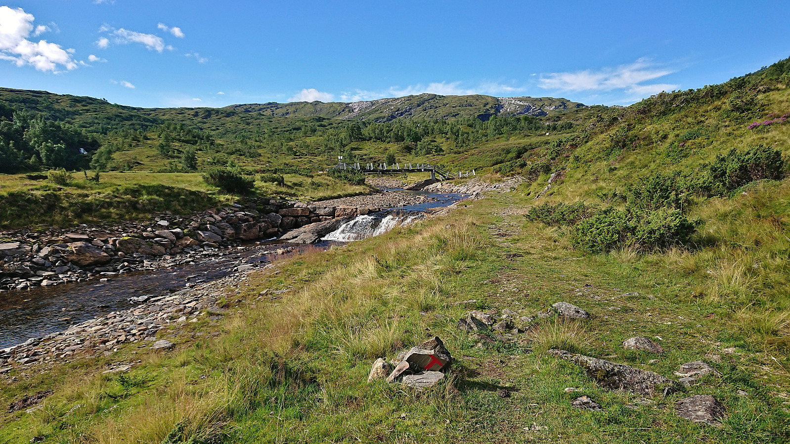
Dagsturhytta på Voss
- Dato:
- 29.07.2023
- Turtype:
- Fottur
- Turlengde:
- 2:44t
- Distanse:
- 11,1km
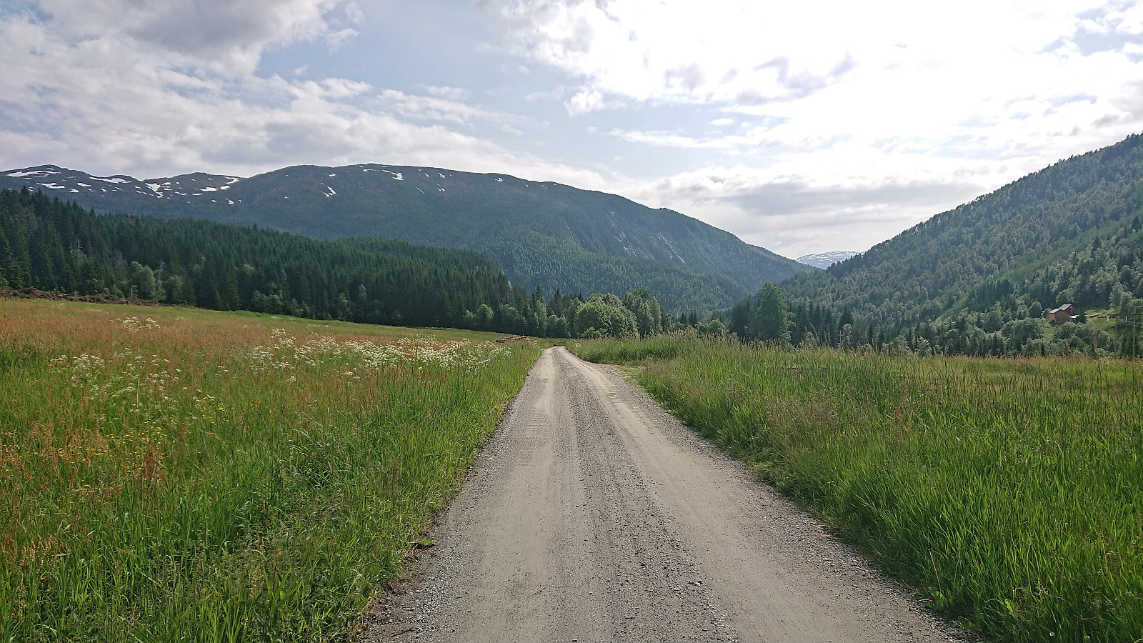
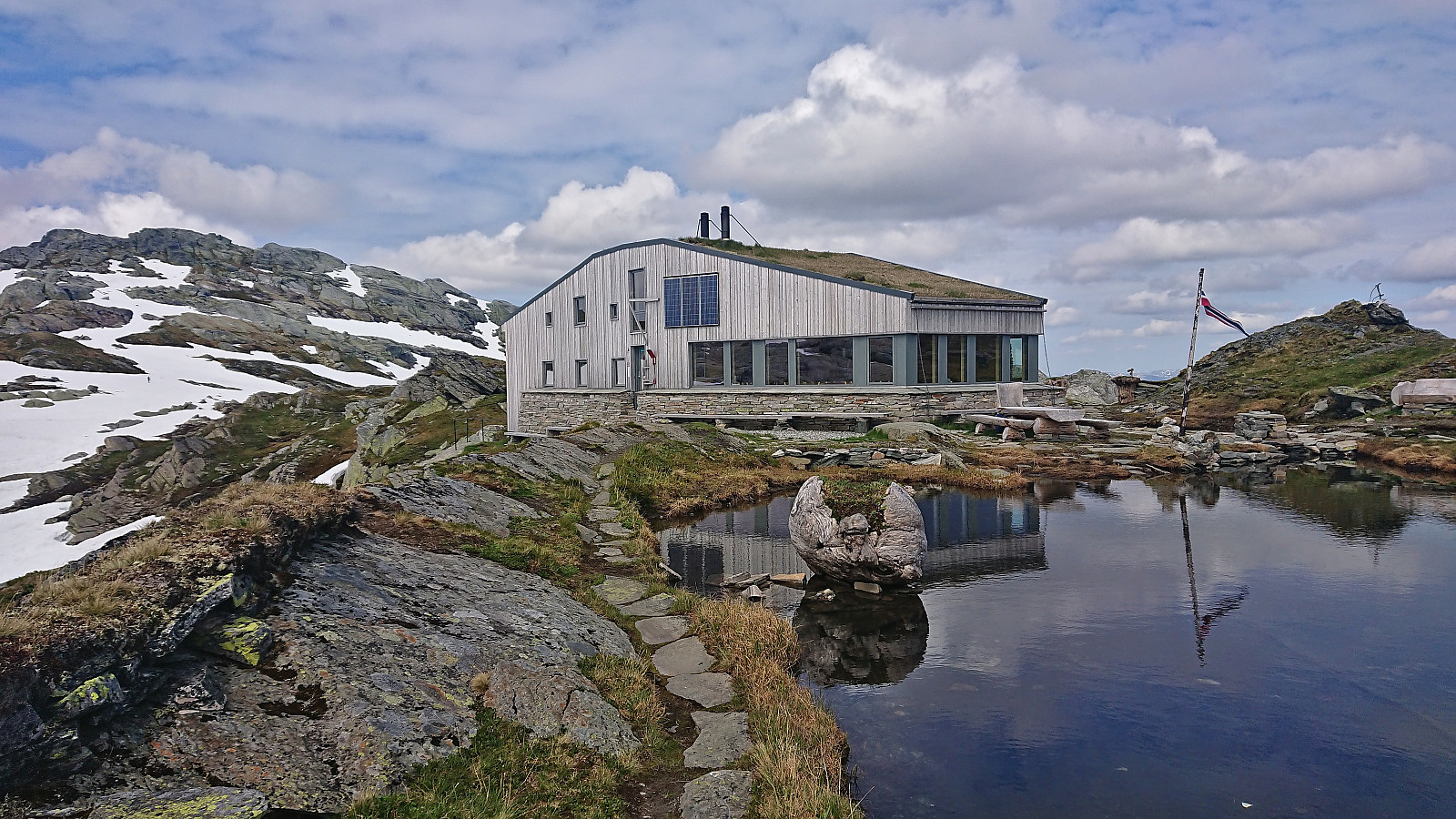
 After yesterday's long hike in Vaksdal I was initially planning on taking it easy today. However, the excellent weather conditions made me reconsider and I decided on a visit of the new dagsturhytte at Voss as a reasonable compromise. The cabin will not officially open until the fall but is already complete and ready for visitors. You can find more information about the cabin and how to get to it here .
I started by taking the train to Voss. From the train station I followed various roads, and two shortcuts, up to the start of Raugstadvegen. Here the road changed from pavement to gravel and I soon had to pass through a gate with the potential of grazing cows and sheep on the other side. I only saw a couple of horses though and they did not pay me much attention.
At the next crossroads I left the gravel road and turned northeast on a rougher tractor road and passed through >>>
After yesterday's long hike in Vaksdal I was initially planning on taking it easy today. However, the excellent weather conditions made me reconsider and I decided on a visit of the new dagsturhytte at Voss as a reasonable compromise. The cabin will not officially open until the fall but is already complete and ready for visitors. You can find more information about the cabin and how to get to it here .
I started by taking the train to Voss. From the train station I followed various roads, and two shortcuts, up to the start of Raugstadvegen. Here the road changed from pavement to gravel and I soon had to pass through a gate with the potential of grazing cows and sheep on the other side. I only saw a couple of horses though and they did not pay me much attention.
At the next crossroads I left the gravel road and turned northeast on a rougher tractor road and passed through >>>
Høgenoltane from Urdland via Remlo
- Dato:
- 01.07.2023
- Turtype:
- Fjelltur
- Turlengde:
- 4:50t
- Distanse:
- 17,0km
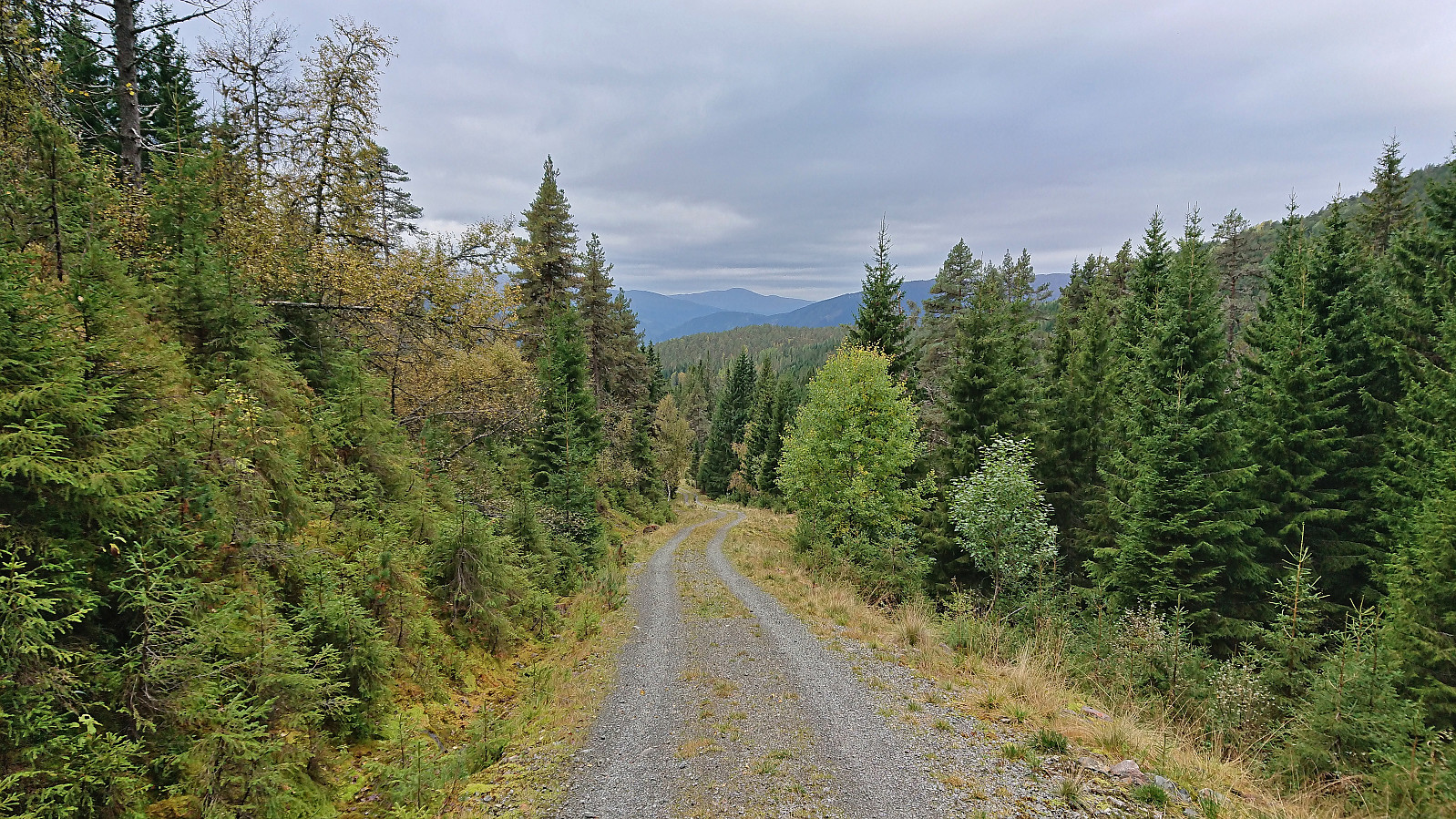
 I started by taking the train to Urdland stasjon and from there followed the road west and then north up to Ospehaugen p-plass . In order to make the hike into a roundtrip I here forked right and continued north along the gravel road to Remlo where the map indicated a trail south to Fjosstølen. I struggled a bit to find the proper start of this trail, as there were a couple of fences that had to be crossed, but just as I was scouting for the best place to jump the fence I happened upon the local farmer who provided excellent pointers for where to locate the trail in question. Soon I was therefore on the so-called "buføringsvegen", i.e. the trail (at least historically) used to transfer cattle and sheep from/to the farms further down the valley.
The trail was unmarked but overall easy to follow. It however did not >>>
I started by taking the train to Urdland stasjon and from there followed the road west and then north up to Ospehaugen p-plass . In order to make the hike into a roundtrip I here forked right and continued north along the gravel road to Remlo where the map indicated a trail south to Fjosstølen. I struggled a bit to find the proper start of this trail, as there were a couple of fences that had to be crossed, but just as I was scouting for the best place to jump the fence I happened upon the local farmer who provided excellent pointers for where to locate the trail in question. Soon I was therefore on the so-called "buføringsvegen", i.e. the trail (at least historically) used to transfer cattle and sheep from/to the farms further down the valley.
The trail was unmarked but overall easy to follow. It however did not >>>
Manfjellet and Kjetilsnuten
- Dato:
- 24.06.2023
- Turtype:
- Fjelltur
- Turlengde:
- 8:49t
- Distanse:
- 19,7km
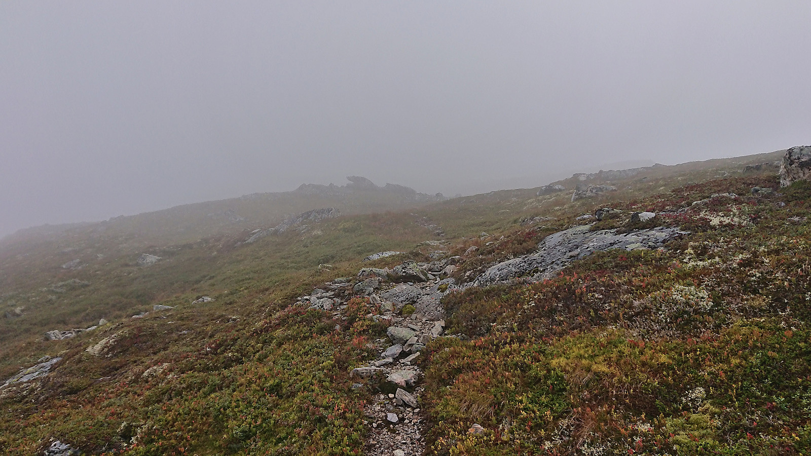
 A return to Fitjadalen to visit the two summits me and Fjellsamleren (Endre Myrdal Olsen) had to skip during our last visit due to there simply being too much snow. Once more we parked at Fitjadalen p-plass , but instead of starting north on the trail to Skrott and Breidablikk we returned around 400 meters southeast along the road and from there followed the marked trail to Laupsaflyane . The trail was a bit weak at times, and the trail markers not the most consistent, but overall this initial ascent was straightforward.
At Laupsaflyane the trail disappeared so we headed off-trail towards the southeast in order to connect with the trail to Manfjellet from this trip suggestion at ut.no . At first we struggled to locate the mentioned trail, especially as it was not indicated on the map, however we soon spotted the first red/pink trail markers that would lead us all the way to the summit. We did lose the markers once or twice, but never had >>>
A return to Fitjadalen to visit the two summits me and Fjellsamleren (Endre Myrdal Olsen) had to skip during our last visit due to there simply being too much snow. Once more we parked at Fitjadalen p-plass , but instead of starting north on the trail to Skrott and Breidablikk we returned around 400 meters southeast along the road and from there followed the marked trail to Laupsaflyane . The trail was a bit weak at times, and the trail markers not the most consistent, but overall this initial ascent was straightforward.
At Laupsaflyane the trail disappeared so we headed off-trail towards the southeast in order to connect with the trail to Manfjellet from this trip suggestion at ut.no . At first we struggled to locate the mentioned trail, especially as it was not indicated on the map, however we soon spotted the first red/pink trail markers that would lead us all the way to the summit. We did lose the markers once or twice, but never had >>>
Skiing: Mjølfjell to Skiple
- Dato:
- 20.05.2023
- Turtype:
- Fjellskitur
- Turlengde:
- 10:12t
- Distanse:
- 33,3km
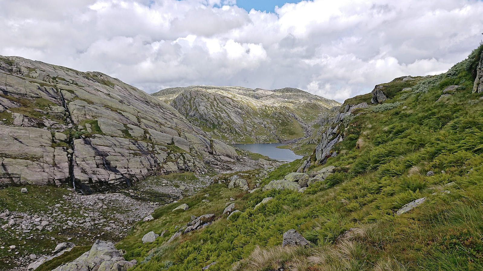
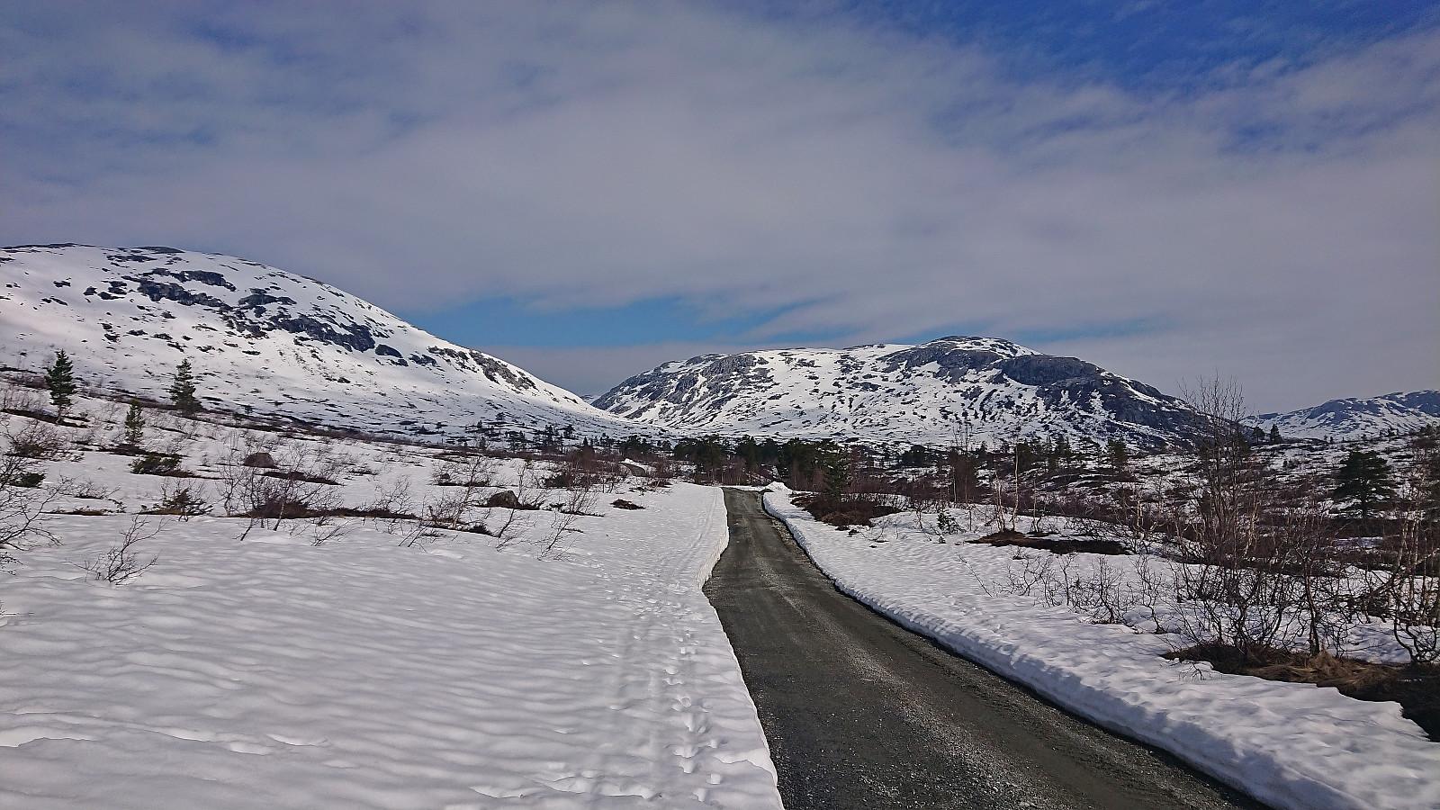 After last weekend's successful skiing trip to Øykjafonn and Skipanuten I decided to have another go, but this time on my own and starting from Mjølfjell. I again took the early morning train from Bergen and arrived at Mjølfjell train station just before nine. From the station I followed the gravel road north into Rjonaddalen, where I carried the skis for the first 2 km, before putting them on a continuing beside the road where there was just enough snow left.
I soon left the road for a shortcut to reconnect with the road up to Grodjuvet. This road normally continues all the way to the bridge across Grodjyvo , but today the road was soon hidden underneath the snow. By then it was too late to cross the partially open river and I instead continued north until I could safely cross via the mentioned bridge and start the ascent to Grodjuvenuten .
After passing on the northern side of Skyttargluggane, all that remained >>>
After last weekend's successful skiing trip to Øykjafonn and Skipanuten I decided to have another go, but this time on my own and starting from Mjølfjell. I again took the early morning train from Bergen and arrived at Mjølfjell train station just before nine. From the station I followed the gravel road north into Rjonaddalen, where I carried the skis for the first 2 km, before putting them on a continuing beside the road where there was just enough snow left.
I soon left the road for a shortcut to reconnect with the road up to Grodjuvet. This road normally continues all the way to the bridge across Grodjyvo , but today the road was soon hidden underneath the snow. By then it was too late to cross the partially open river and I instead continued north until I could safely cross via the mentioned bridge and start the ascent to Grodjuvenuten .
After passing on the northern side of Skyttargluggane, all that remained >>>
Øykjafonn and Skipanuten from Upsete
- Dato:
- 13.05.2023
- Turtype:
- Fjellskitur
- Turlengde:
- 6:07t
- Distanse:
- 20,5km
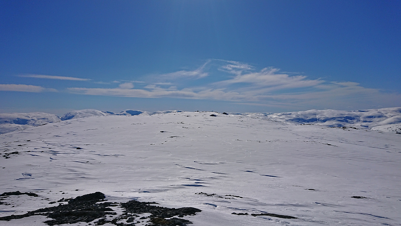
 When petter (Petter Bjørstad) asked if I wanted to go hiking or skiing this weekend I of course said yes, and we settled on a skiing trip to Øykjafonn and Skipanuten . After taking an early train from Bergen we arrived at Upsete stasjon shortly after nine, and after finding a way to safely get to the other side of the train tracks we started the 750 vertical meters ascent to Øykjafonn.
After crossing the river coming down from Gangsdalsvatnet via a snow bridge we pretty much followed the ridge south all the way to the summit. Still plenty of snow, although there were also times when we had to navigate around areas where the snow had already disappeared. Excellent panoramic views from the large summit cairn.
Next, we removed the climbing skins and continued south towards Skipanuten. The descent to the small lake between the two summits was overall straightforward >>>
When petter (Petter Bjørstad) asked if I wanted to go hiking or skiing this weekend I of course said yes, and we settled on a skiing trip to Øykjafonn and Skipanuten . After taking an early train from Bergen we arrived at Upsete stasjon shortly after nine, and after finding a way to safely get to the other side of the train tracks we started the 750 vertical meters ascent to Øykjafonn.
After crossing the river coming down from Gangsdalsvatnet via a snow bridge we pretty much followed the ridge south all the way to the summit. Still plenty of snow, although there were also times when we had to navigate around areas where the snow had already disappeared. Excellent panoramic views from the large summit cairn.
Next, we removed the climbing skins and continued south towards Skipanuten. The descent to the small lake between the two summits was overall straightforward >>>
Klevanuten and Rjoandeggi
- Dato:
- 22.04.2023
- Turtype:
- Fjellskitur
- Turlengde:
- 5:24t
- Distanse:
- 17,3km
 On a perfect Saturday for skiing, I took the train to Ljosandbotn and followed the marked route up Ljosanddalen to Borgarebuvotni, making a minor detour to visit Appelsintreet . From Borgarebuvotni I continued north before ascending Klevanuten from the northeast. After a short break at the summit I descended into Klevaskaret and ascended to the northern end of Rjoandeggi which I then proceeded to follow south to the highest point . Sunshine and no wind made for an excellent location for my late lunch break.
I continued south along the ridge to Søre Rjoandeggi . Overall straightforward, however there were lots of rocks and even larger areas without any snow that had to be properly navigated. After another extended break, all that remained was the very nice descent to the train station. Even though I had tried to take it slow, and include lots of breaks, I still >>>
On a perfect Saturday for skiing, I took the train to Ljosandbotn and followed the marked route up Ljosanddalen to Borgarebuvotni, making a minor detour to visit Appelsintreet . From Borgarebuvotni I continued north before ascending Klevanuten from the northeast. After a short break at the summit I descended into Klevaskaret and ascended to the northern end of Rjoandeggi which I then proceeded to follow south to the highest point . Sunshine and no wind made for an excellent location for my late lunch break.
I continued south along the ridge to Søre Rjoandeggi . Overall straightforward, however there were lots of rocks and even larger areas without any snow that had to be properly navigated. After another extended break, all that remained was the very nice descent to the train station. Even though I had tried to take it slow, and include lots of breaks, I still >>>
