Arkiv - dato
Arkiv - aktivitet
-
Annen tur (3)
- Kajakkpadling (3)
- Fottur (1897)
-
Kjøretur (9)
- Biltur (9)
-
Skitur (116)
- Fjellskitur (69)
- Langrennstur (47)
-
Sykkeltur (111)
- Blandet sykling (25)
- Gatesykling (86)
Lister jeg samler etter
-
Utvalgte topper og turmål i Bergen
(349/351)
 99%
99% -
Alle topper i Bergen
(393/400)
98%
-
Voss ≥ 100m pf.
(96/98)
97%
-
Opptur Hordaland
(144/159)
90%
-
Stasjoner på Bergensbanen
(33/40)
82%
-
Ulvik ≥ 100m pf.
(30/38)
78%
-
Hordaland ≥ 100m pf.
(624/863)
72%
-
Mjølfjell PF > 100m
(21/31)
67%
-
Jondal ≥ 100m pf.
(15/23)
65%
-
Dagsturhyttene i Vestland
(36/61)
59%
-
Sunnhordland PF >= 100m
(105/186)
56%
-
Hordaland: Hardanger PF>=100m
(196/359)
54%
-
DNT-hytter i Hordaland
(23/45)
51%
-
Kvinnherad ≥ 100m pf.
(40/79)
50%
-
Eidfjord ≥ 100m pf.
(13/42)
30%
-
Sogndal ≥ 100m pf.
(23/81)
28%
-
Gulen ≥ 100m pf.
(15/54)
27%
-
Vik i Sogn ≥ 100m pf.
(10/46)
21%
-
Sogn - Sør for Sognefjorden PF>=100m
(31/159)
19%
-
DNT-hytter i Sogn og Fjordane
(8/47)
17%

Cycling: Langarinden
- Dato:
- 06.06.2026
- Turtype:
- Gatesykling
- Turlengde:
- 1:37t
- Distanse:
- 22,2km
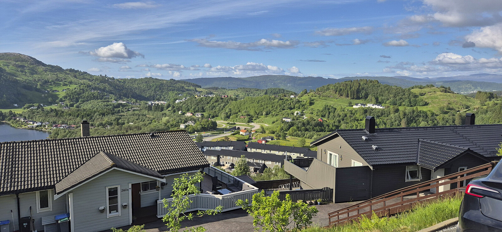 Short cycling trip exploring Langarinden.
Cycling: Eidsvåg and Munkebotn
- Dato:
- 21.05.2026
- Turtype:
- Gatesykling
- Turlengde:
- 0:46t
- Distanse:
- 11,2km
 Short local evening cycling trip.
Cycling: Eidsvåg and Munkebotn
- Dato:
- 16.05.2026
- Turtype:
- Gatesykling
- Turlengde:
- 0:49t
- Distanse:
- 11,2km
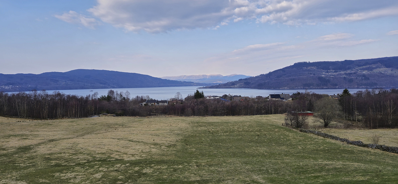
 An easy start to the cycling season of 2026 after the long hike in Gulen the day before.
Cycling: Tertnes and Åstveit
- Dato:
- 06.09.2025
- Turtype:
- Gatesykling
- Turlengde:
- 2:16t
- Distanse:
- 24,8km
 Short cycling trip exploring new parts of Åsane.
Cycling: Eidsvåg and Gamle Bergen
- Dato:
- 26.08.2025
- Turtype:
- Gatesykling
- Turlengde:
- 0:54t
- Distanse:
- 12,5km
 Short evening cycling trip.
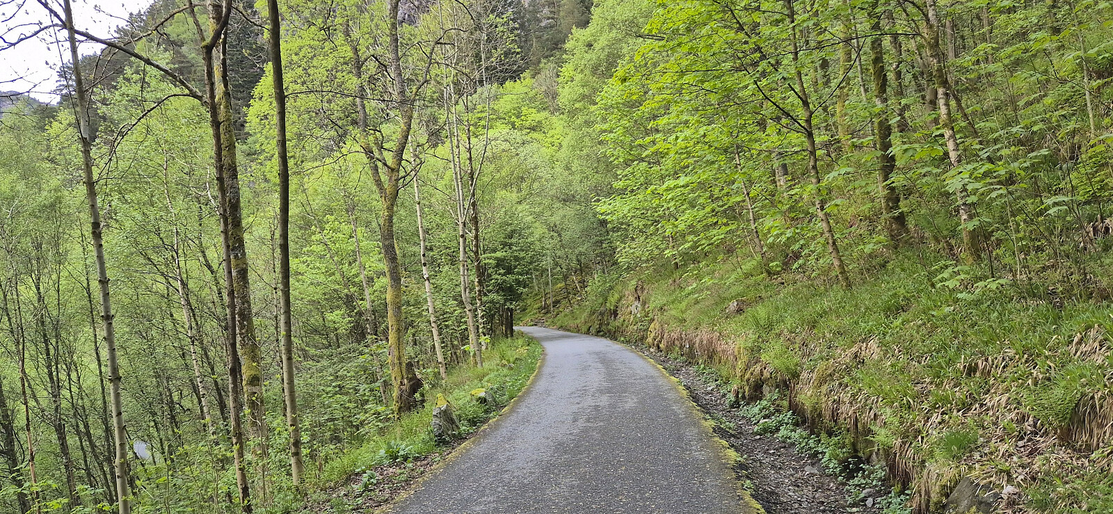
Cycling: Garnes
- Dato:
- 31.07.2025
- Turtype:
- Gatesykling
- Turlengde:
- 3:38t
- Distanse:
- 50,2km
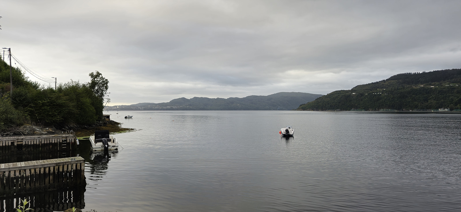
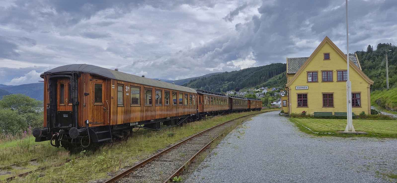 Cycling trip to Garnes where I had a look at the old train station .
Cycling: Eidsvåg
- Dato:
- 30.07.2025
- Turtype:
- Gatesykling
- Turlengde:
- 0:48t
- Distanse:
- 11,1km
 Short local cycling trip.
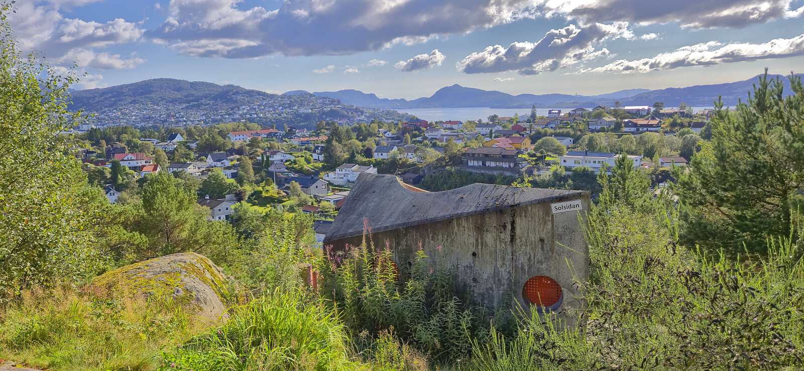
Cycling: Fjellveien and Skansemyren
- Dato:
- 22.07.2025
- Turtype:
- Gatesykling
- Turlengde:
- 1:19t
- Distanse:
- 16,7km
 Short evening cycling trip after finally replacing the very old brake pads on my equally old bike.
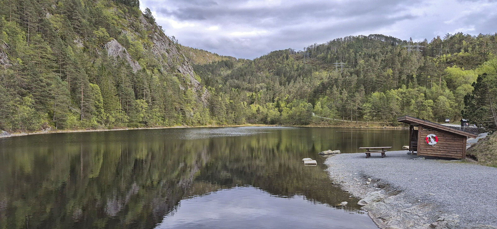
Cycling: Salhus roundtrip
- Dato:
- 23.03.2025
- Turtype:
- Gatesykling
- Turlengde:
- 2:30t
- Distanse:
- 36,6km
 The first cycling trip of 2025!
Cycling: Hylkje
- Dato:
- 04.08.2024
- Turtype:
- Gatesykling
- Turlengde:
- 2:38t
- Distanse:
- 34,5km
 Evening cycling trip exploring Hylkje.
